free to be able to rate and comment on reports (as well as access 1:25000 mapping).
89 Donalds in 89 Days
Lowther Hills (East Mount Lowther, Lowther Hill, Green Lowther and Dun Hill)
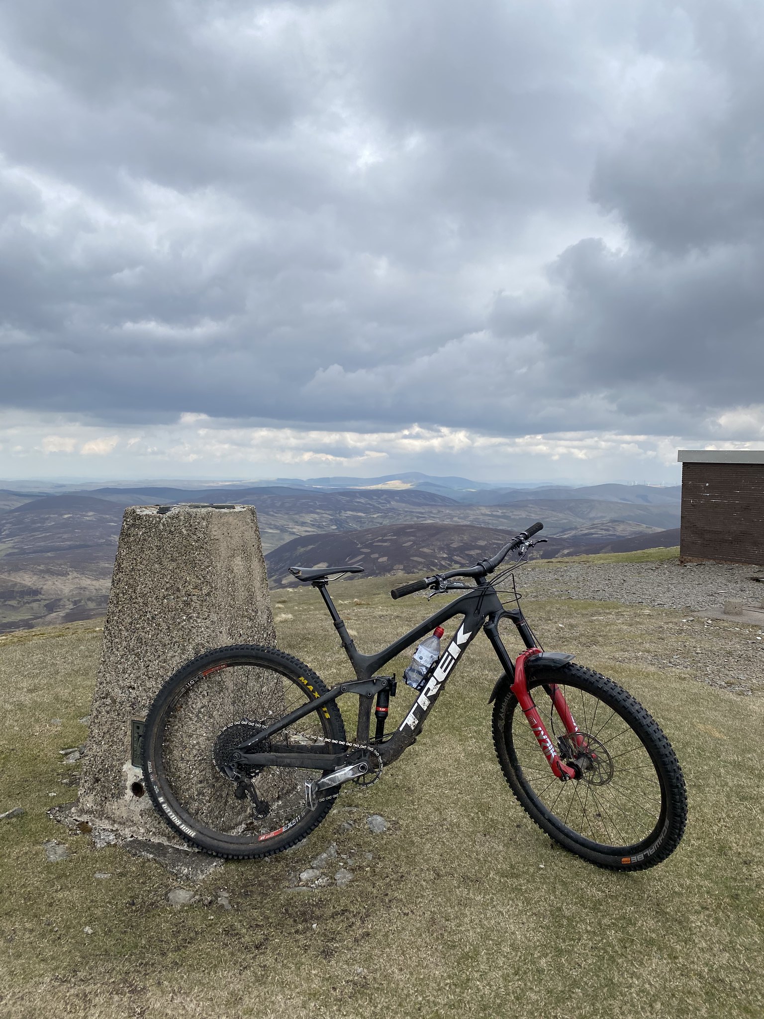
On Saturday 1st of May I began a huge charity challenge that I have set myself. I am completing all 89 Donalds (as well as the 52 additional Donald Tops) on my mountain bike in aid of the Anthony Nolan Charity. I am raising money and hoping to encourage as many people as possible to sign up to their stem cell register. I am going to do this in no more than 89 days, averaging at 1 hill per day. Some days I will bag 5+ and other days I will bag none. All on top of my 9-5 job, so weekends and evenings only (probably some annual leave too).
After a big night in the hills on Thursday my legs were still a bit weary come the weekend. I had a good sized day planned for Sunday so spent my Saturday catching up with errands and resting the legs as much as possible.
I headed out to Wanlockhead, right in the heart of the Lowther Hills, parked the van near the village and set out following the signs for the Southern Upland Way. I was joined, on foot, for this outing by my brother, James.
 Untitled
 by
Peter Hardy, on Flickr
 Untitled
 by
Peter Hardy, on Flickr
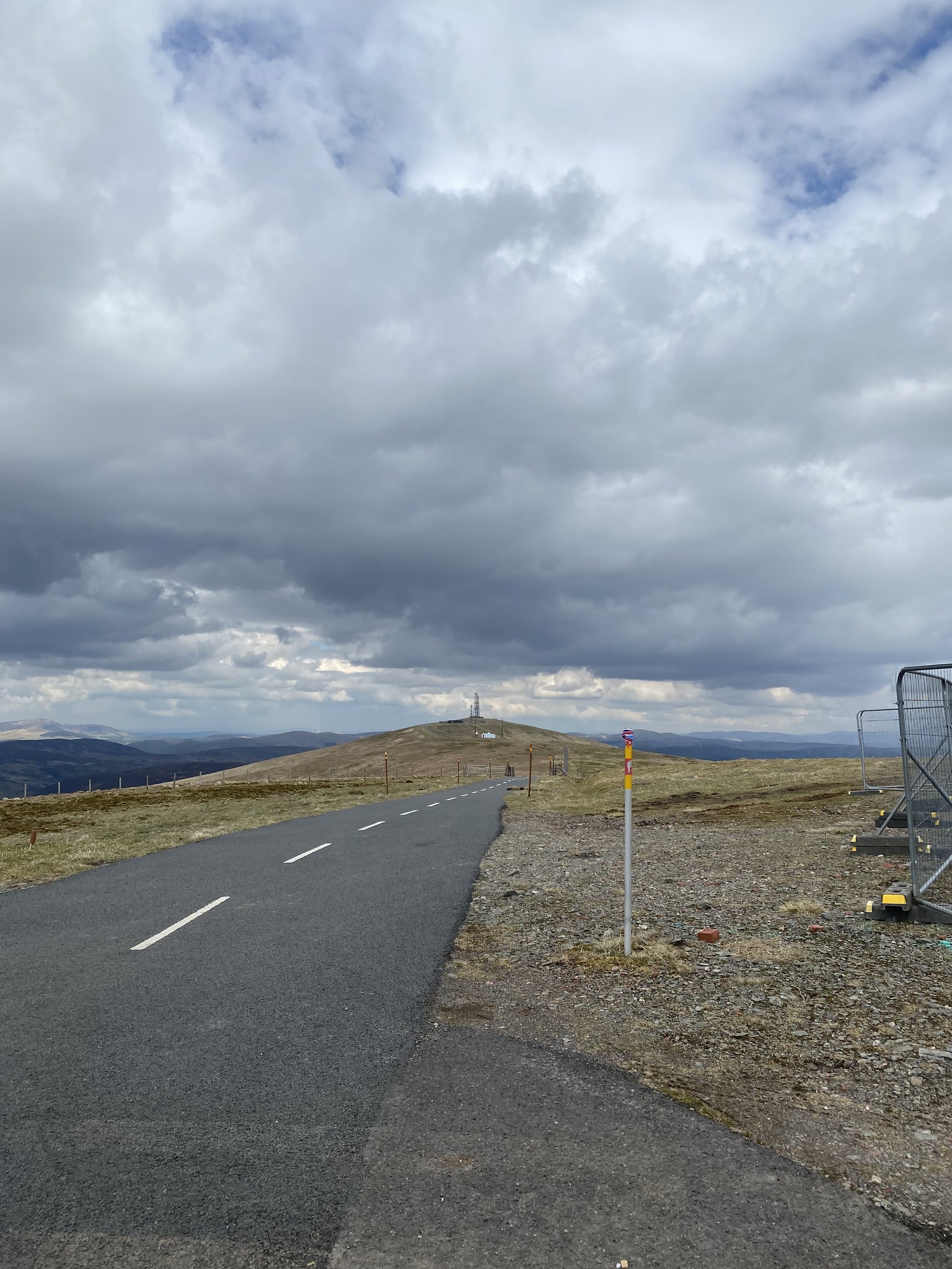
We followed the clearly made track until we reached the tarmac road. The road leads towards Lowther Hill with the massive golf ball (weather apparatus, if youre wanting to be official) but before you reach this there is a track down to your right (green signpost) that takes you down and then up to the top of East Mount Lowther (12/89).
 Untitled
 by
Peter Hardy, on Flickr
 Untitled
 by
Peter Hardy, on Flickr
On the way down the track heading out towards the first Donald of the day, i shot off ahead and waited for my brother at the top. I told him i wanted to head out and catch Cold Moss, a Donald top, which he wasnt so fussed about bagging. I decided to crack on and head out there myself, agreeing to meet again at the Lowther Hill at the weather station. As i made my way over to Cold Moss, a very heavy rain cloud came in... after passing the weather shelter just before the top of the hill, i decided to nip back and shelter in there first.
 Untitled
 by
Peter Hardy, on Flickr
 Untitled
 by
Peter Hardy, on Flickr
I was soon joined by my brother at the shelter and we made the decision to just stick together and i would come back for the Donald top another day.
Within minutes of leaving the shelter, we found ourselves at the top of our second Donad of the day, Lowther Hill (13/89)
 Untitled
 by
Peter Hardy, on Flickr
We followed the tarmac road until we reached our third Donald... Green Lowther (14/89). So far, the route could not be more straight forward. To get lost at this stage would take some doing.
 Untitled
 by
Peter Hardy, on Flickr
 Untitled
 by
Peter Hardy, on Flickr
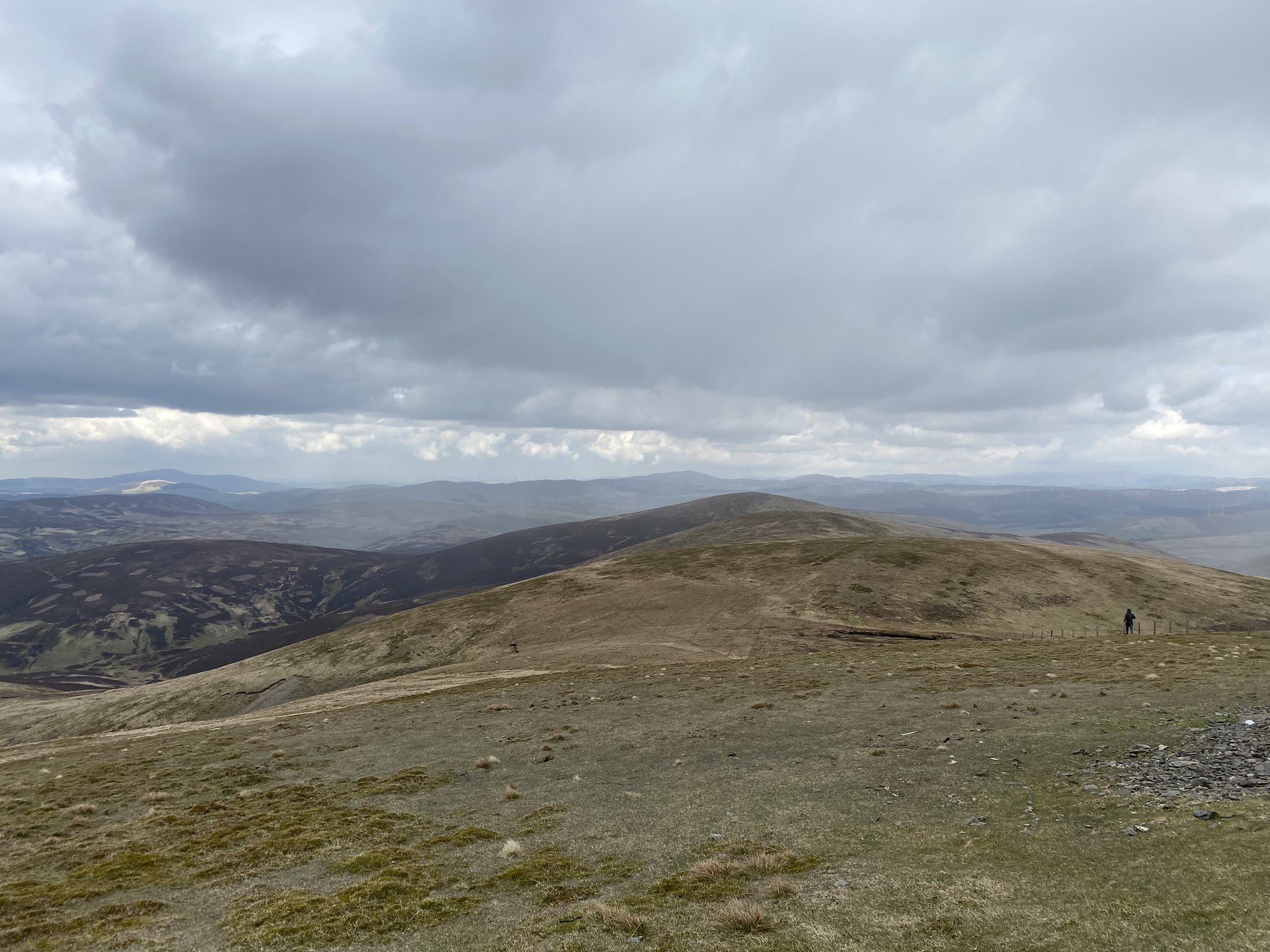
From here we aimed NE towards Dun Law, following the fenceline over Peden Head and Dungrain Law.
 Untitled
 by
Peter Hardy, on Flickr
James wasnt fussed about bagging a fourth Donald so i pushed on aheady by myself. The ascent up Dun Law (15/89) was pretty steep. I had been following somebody elses route, who seemed to be trying to zigzag up the contour of the hill. In hindsight i would probably just stick to pushing up the hill next to the fenceline in the future.
 Untitled
 by
Peter Hardy, on Flickr
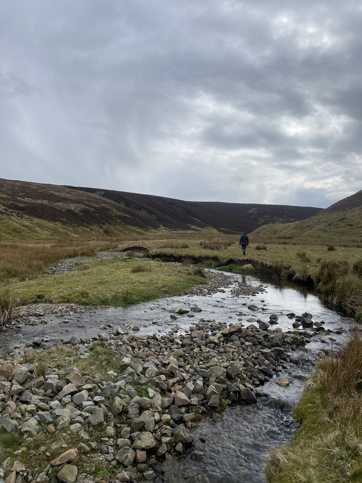
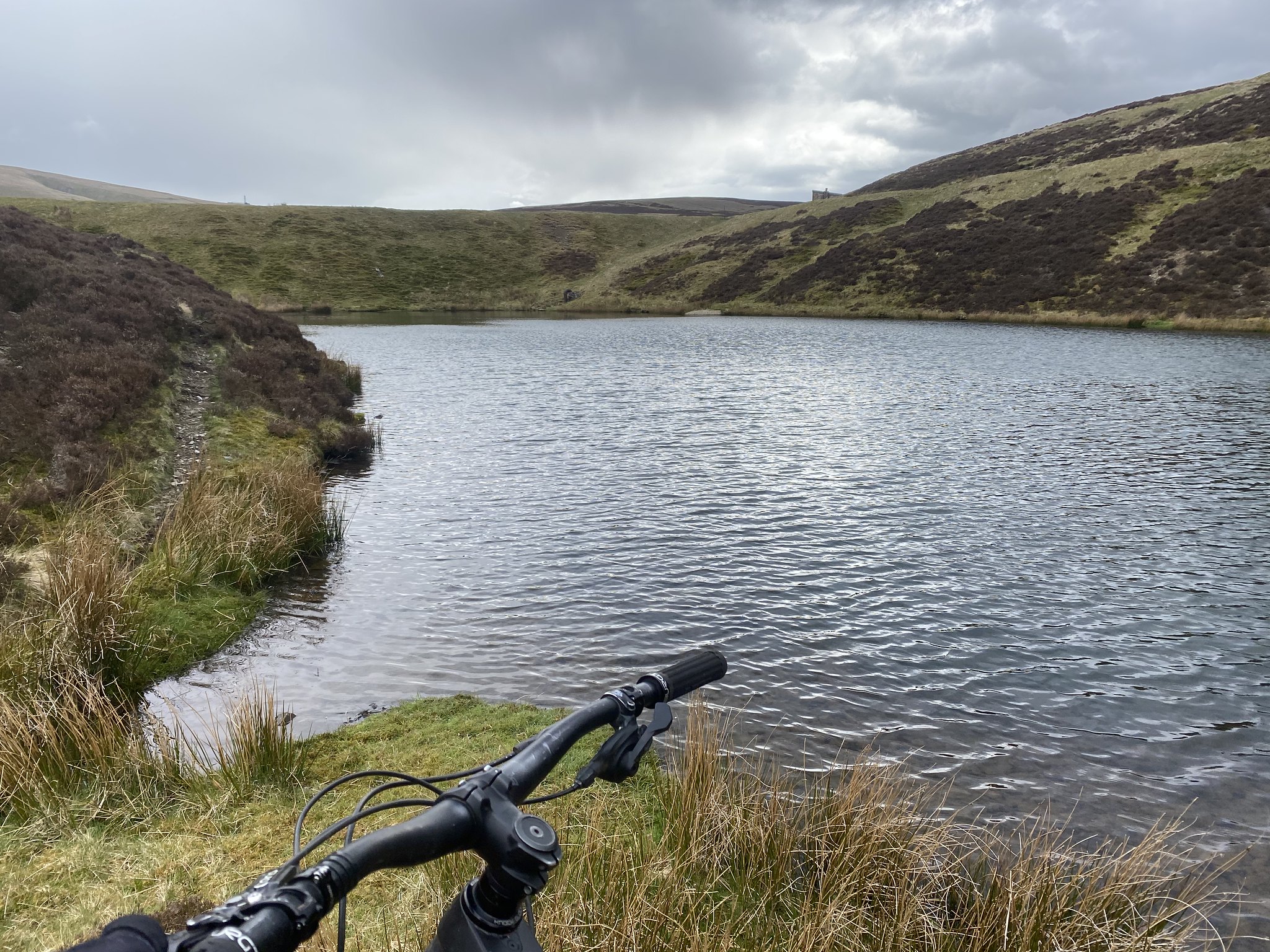
Sticking to the fenceline i headed back down Dun Law towards Dungrain Law. At the foot of the hill i took a right and headed West / NW along Windgate Burn. The path is not very well esablished but if you stick to the waters edge then you will eventually make it to a point where the landscape opens up and the burn splits. If you take a right then it will lead up along the west face of Glen Ea's hill towards the B7040 that leads to Elvanfoot. You want to cross the burn and head left and follow the water that eventually leads to the small reservoir at the bottom of Little Stake Cleuch.
 Untitled
 by
Peter Hardy, on Flickr
 Untitled
 by
Peter Hardy, on Flickr
At the reservoir, we took the steep, rocky man made road to the west where the road soon meet more SUW marker posts.
 Untitled
 by
Peter Hardy, on Flickr
We simply followed this track until we reached the gate leading on to the tarmac road. We took a right at the gate and the tarmac road had us back at our point of departure in no time at all.
This route has got to be one of the easist i will come across on my challenge. Tarmac roads and hill top features that stand out for miles made navigating very easy. With another 4 Donalds under my belt i was satisfied with the days efforts.
https://www.facebook.com/89-Donalds-in-89-Days-101919065388708/https://www.justgiving.com/fundraising/89donalds89daysThanks for reading
(P.s. website links will be removed if not permitted, please just let me know)
Peter
#89donaldsin89days
