free to be able to rate and comment on reports (as well as access 1:25000 mapping).
Munros: Binnein Mor, Sgurr Eilde Mor, Binnein Beag.
Date: 24/07/2021.
Distance: 23km.
Ascent: 1890m.
Time: 11 hours.
Weather: Hot and sunny.
David had suggested a weekend of walking somewhere in the highlands, however I ended up going to my Uncle's funeral in Yorkshire on Friday, so settled on meeting up with him on my way home on Saturday for a day out. From David's suggestions, I had fancied the eastern end of the Mamores - somewhere I hadn't been in about 15 years. Despite being a connoisseur of the NW, David hadn't been up to the head of Glen Nevis until a few weeks ago and couldn't wait for another visit, so this ended up being our starting point. For me, having arrived back in Glasgow at 1am on Saturday morning, this meant being out of bed again for 5:30 - something I have long got out of the habit of doing!
Fortunately aside from an annoying M8 diversion minutes from the flat that I'd forgotten about, the run up to the head of Glen Nevis was smooth, and only took around 2 hours 30 minutes. It was around 9:15 when I arrived and fortunately there were still a couple of parking spaces left. David was already there, and we spent a good 45 minutes 'getting ready'

. There was no real rush or time constraints today now that I'd got a parking space. Still, we were on our way by around 10.
 Waterslide Slab and Coire Eoghainn of Ben Nevis
 The drive up had been mostly in low cloud but the day was now hot and sunny. Despite its busyness, this part of Glen Nevis is probably one of the wildest and most impressive bits of glen in the country and it was good to be back again. Despite a 15 year gap in visiting, this was a regular walk for us as a family when I was younger.
 Looking down Glen Nevis
  Steall Gorge
  Carn Dearg
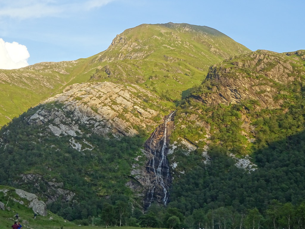
 The light wasn't great for looking at Steall Falls on the way past so we pushed on past the ruin and into upper Glen Nevis. David had felt some twinges from an old knee injury recently and was concerned it might mess up our plans, but so far we were doing OK.
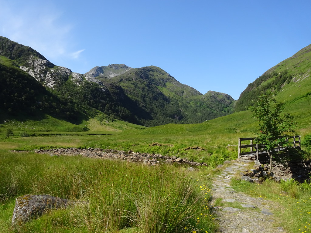 Steall Meadows and Carn a Mhaim
 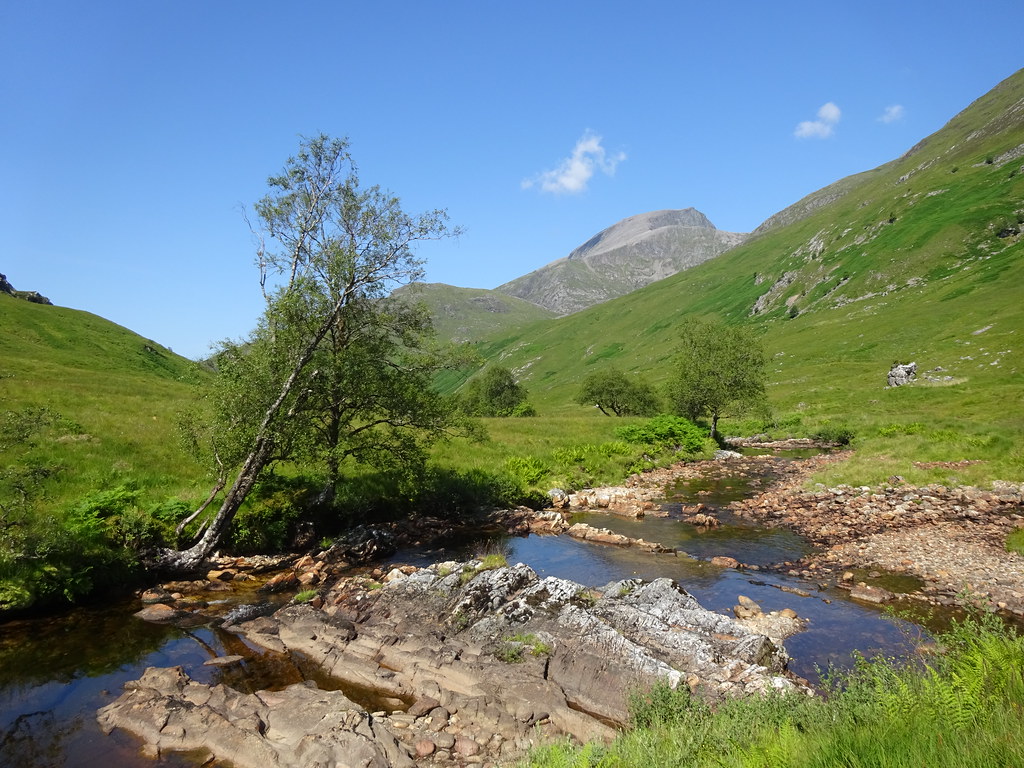 Ben Nevis from near Steall ruins
  Ben Nevis
  An Garbhanach
 We had plenty of water stops on the climb up into Coire Gualann a' Bhlair, initially following the rim of an impressive gorge on the Water of Nevis, then more pathlessly into the corrie, picking up some lines of slabs on the way. We were aiming for the Sron a' Garbh Choire ridge that David was keen to go up. I had been up it before (a couple of times it turns out, although I only really remember one occasion), and knew that in this dry weather it would be straightforward.
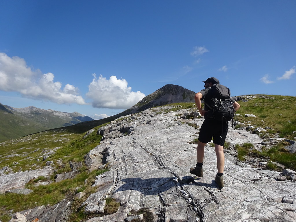 David on some slabs
  Central ridge (Sron a Garbh Choire) of Binnein Mor
 After crossing over the floor of the corrie, we scrabbled up over steep ground and bits of scree to get onto the ridge. The upper section reared above us for some way - Binnein Mor is quite high!
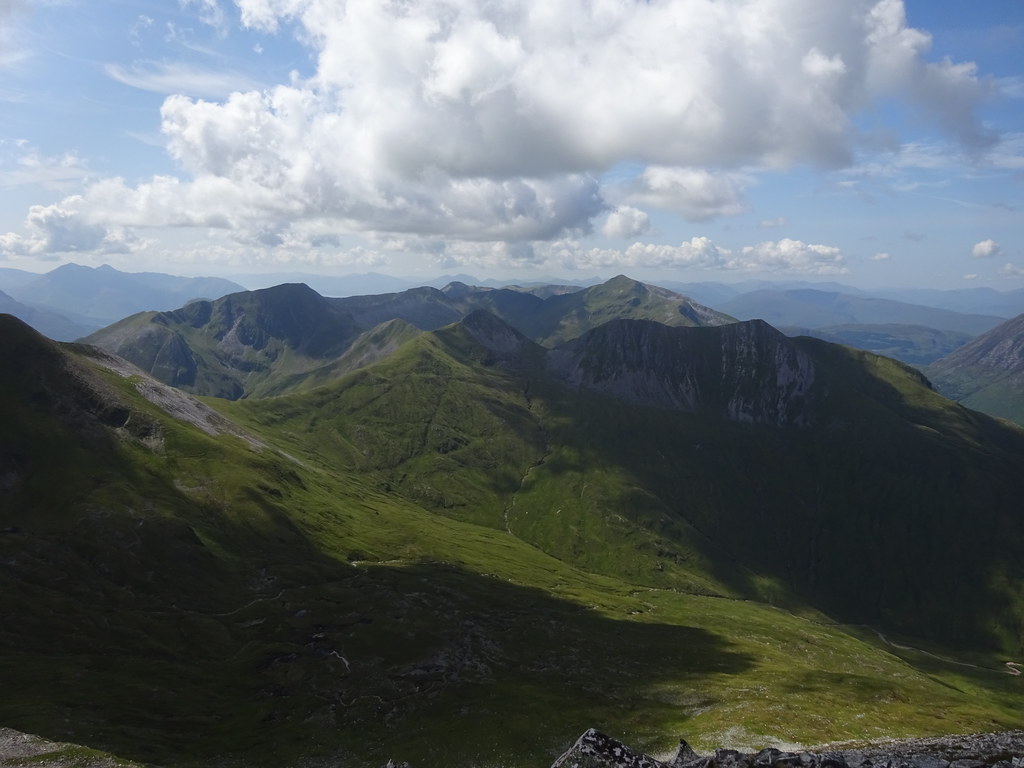
 Ben Nevis to Aonach Beag from Sron a Garbh Choire of Binnein Mor
 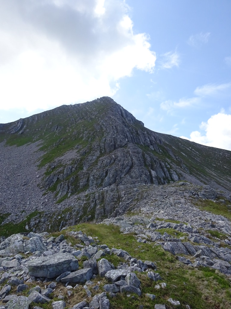 Upper section of the ridge
  Easy rock in the dry
 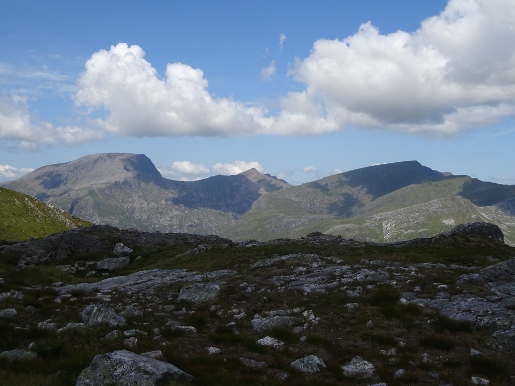 The Ben
 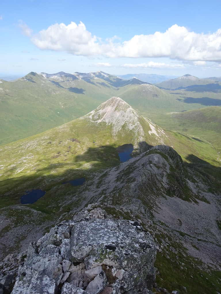 Back down the ridge to Binnein Beag
 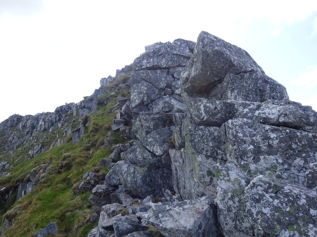 Looks good right at the top but it is easy
  Last bit of ascent to the summit
 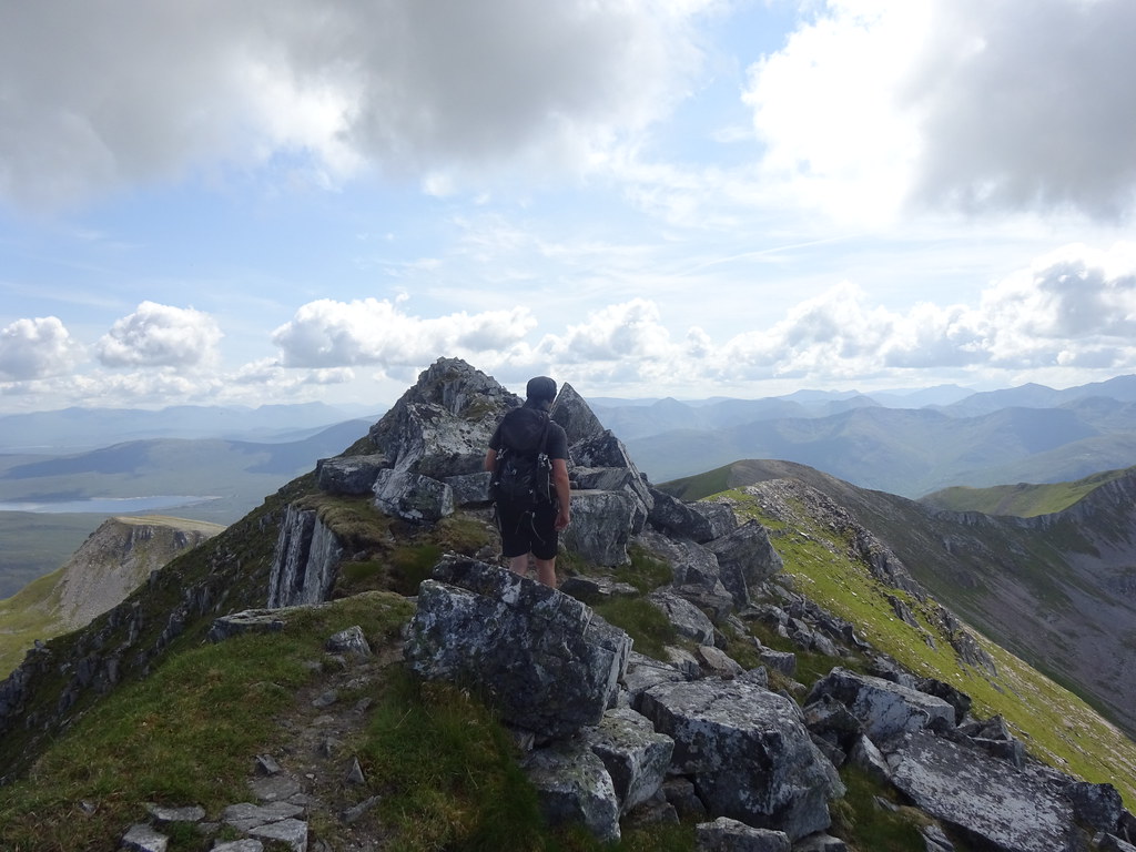 Summit ridge
 After more stops (great day so why not?) we emerged on the short summit ridge. Binnein Mor is definitely a proper mountain - the summit is narrow and rocky and actually feels quite remote. It was also the scene of my only ever ice axe arrest that wasn't just a practice - successful thankfully!
 Sgurr Eilde Mor and Blackwater Reservoir
  North along the summit ridge
 No harm in having another break here to enjoy the situation. There were a couple of other folk on the summit but on the whole the day was quite quiet once upstream of Steall. We didn't hang around too long due to an attack of flying objects. Flying ants and a couple of midges were unwelcome but the worst thing was the clegs today. David seemed to attract more of these than I did, prompting us to get moving again.
 West along the Mamores
  Sgurr Eilde Beag
  Sgurr Eilde Mor and Beag
  Glencoe hills
 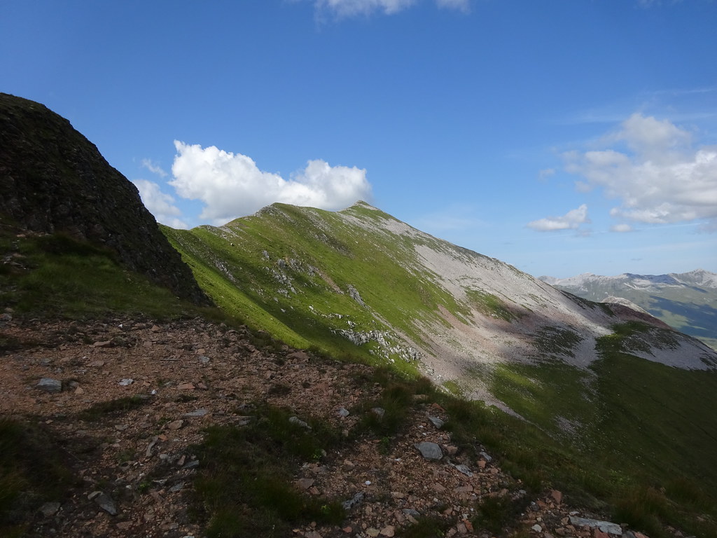 Looking back up Binnein Mor
  Coire an Lochan and Sgurr Eilde Mor
 Sgurr Eilde Mor was our next destination. There is a good path down the corrie to the northern side of Coire an Lochain but since we wanted to go up the southern flank of Sgurr Eilde Mor, we took a chance and went over Sgurr Eilde Beag first. I remembered a stalkers path down the southern ridge of this even though it wasn't shown on either of our maps. I did wonder briefly whether my imagination had made it up, but the top zigzags duly appeared and we had an easy walk down. The path is actually on some versions of the map.
 Descending to Sgurr Eilde Mor
 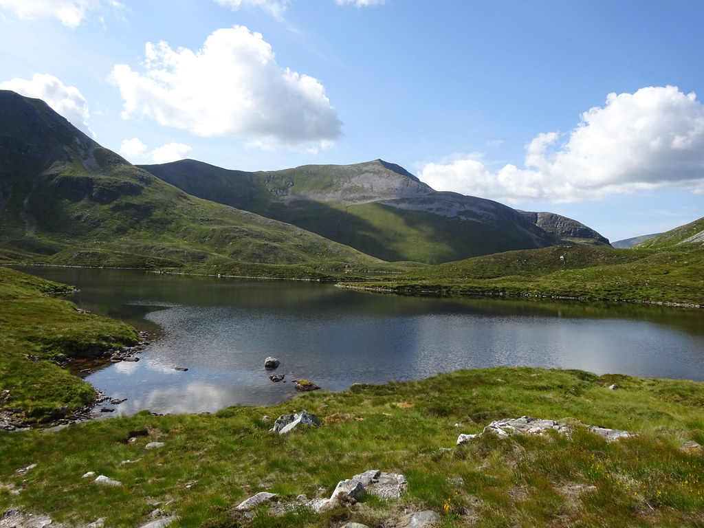 Binnein Mor
 Coire an Lochan is one of those spots that just makes you want to put up a tent. Sadly we didn't have one with us. The path up the southern flank of Sgurr Eilde Mor winds around a bit and disappears a couple of times, but eventually we arrived on the summit. A couple of fellrunners we had seen on Binnein Mor were just departing down the NE ridge. I wondered if they were doing the Ramsay Round.
 Buachaille and Glen Etive hills
 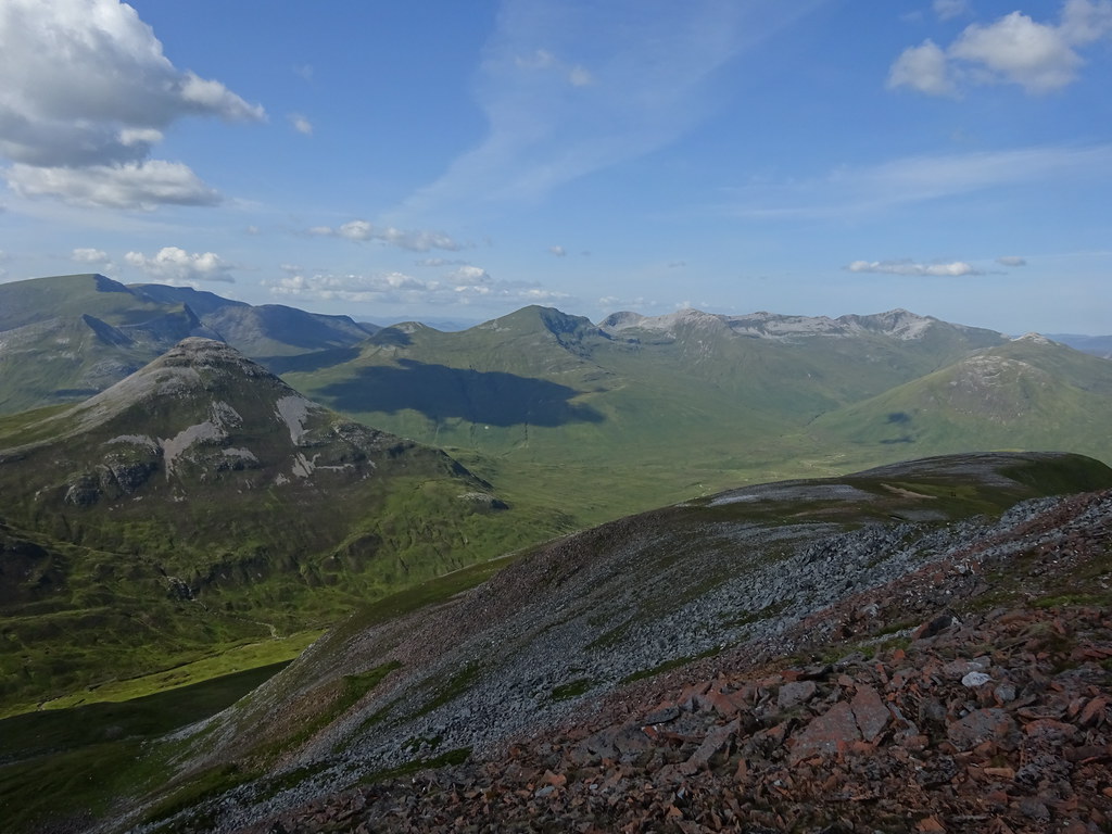 Binnein Beag and the Grey Corries
 We took another path down the northern flank of Sgurr Eilde Mor, which took in a short section of arete before depositing us on some scree - seemingly unavoidable on this side of the hill. Soon we were on the zigsags that took us down and round the back of Coire a' Bhinnein and towards our final hill of the day. David had been concerned that his knee wouldn't make it up all three summits, but despite a couple of worrying twinges, the ibuprofen seemed to have worked wonders at keeping any swelling down and he was going better than ever by this point.
 Me on the way down Sgurr Eilde Mor
  David descending Sgurr Eilde Mor
  Traverse to Binnein Beag
 The lochan under Binnein Beag was a nice spot for another quick break - a bit like the lochan under the final ascent to An Ruadh-stac. The gradient up was steep but at least there was a path, so we ended up making quite short work of this last hill. It might be one of the lowest Mamores but it stands right on the edge of the range, and you can't really see any civilization from it at all - only a short section of the railway up the side of Loch Treig reminds you of the outside world. Binnein Mor looks pretty good from here as well.
 Looking back to Binnein Mor from Binnein Beag
 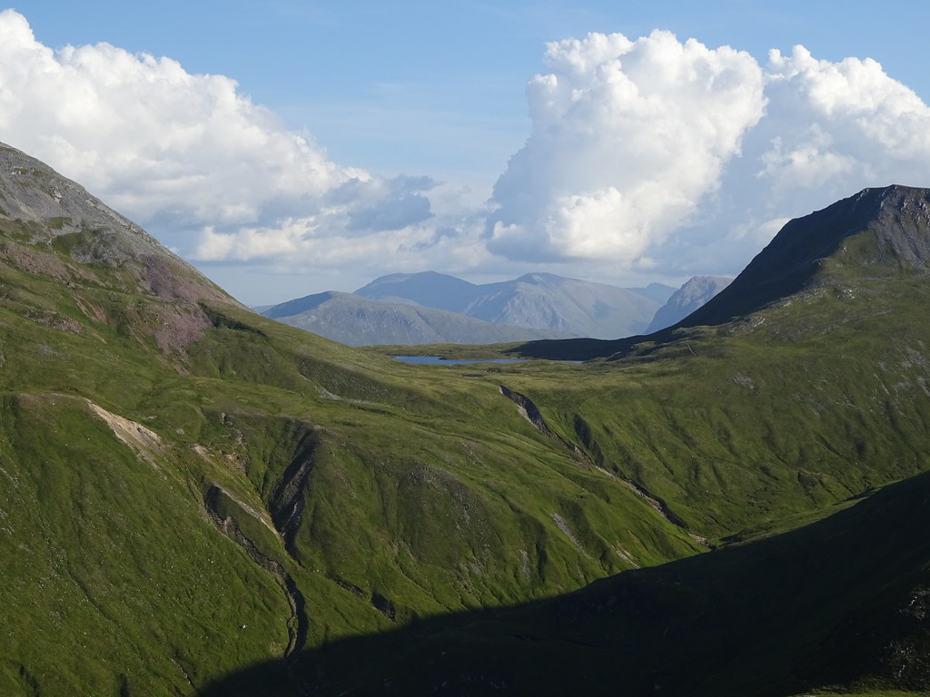 Black Mount
  Binnein Mor
 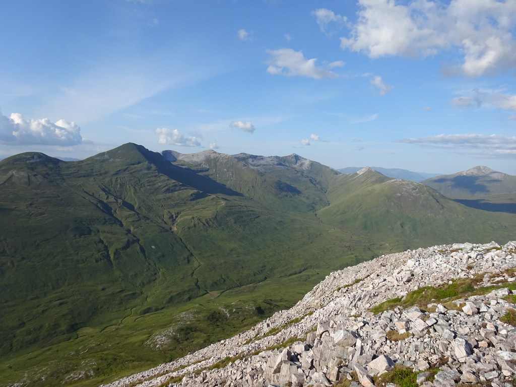 Grey Corries
 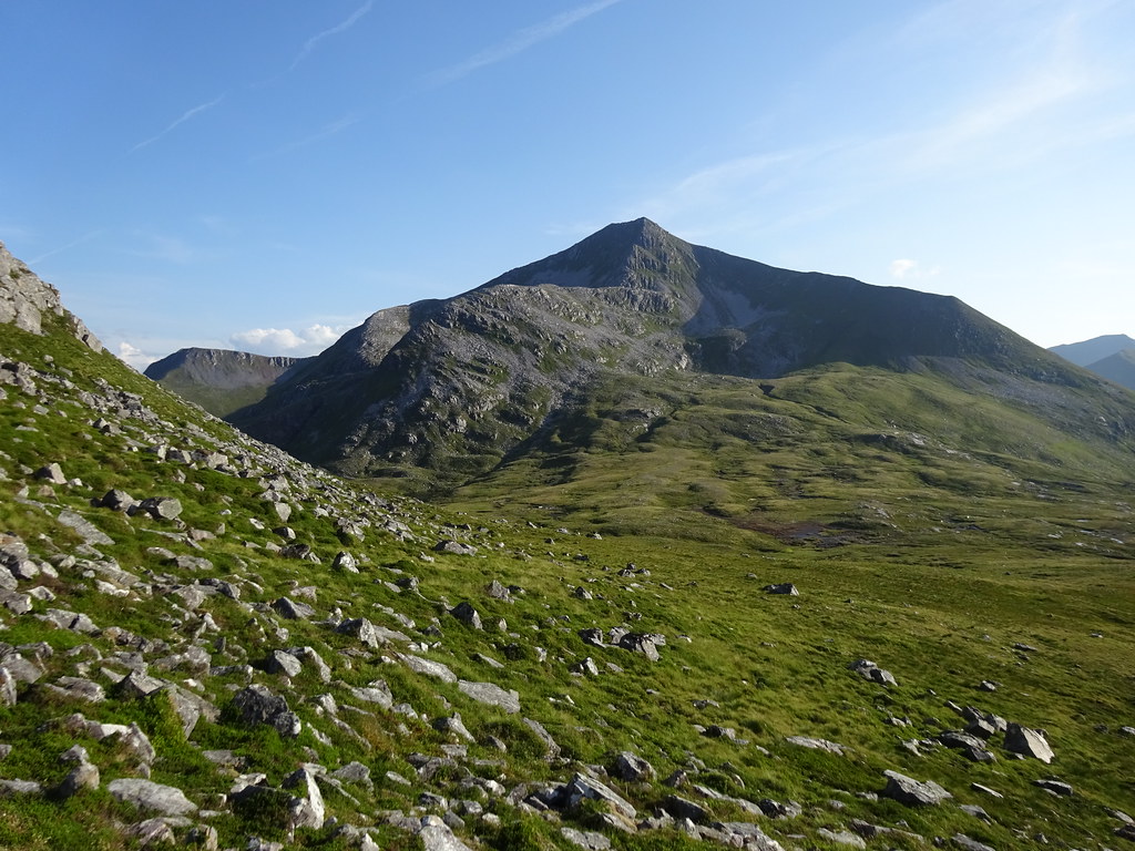 Binnein Mor from the descent of Binnein Beag
 Traces of path started us off down the northern flank of the hill, then it was just a case of avoiding the worst of the scree and outcrops until the slope eased a bit. Then we made a straight line for the bend in the Water of Nevis where we had started the main ascent.
 Ridges and ridges looking down Glen Nevis
  Our ascent ridge of Binnein Mor looking good
 Lower down there were intermittent bits of path on the eastern side of the Allt a' Bheithe. We eventually crossed this to cut a corner, and spotted an eagle above us. For once I was able to get a couple of half-decent shots before it disappeared again.
 Eagle
Eagle 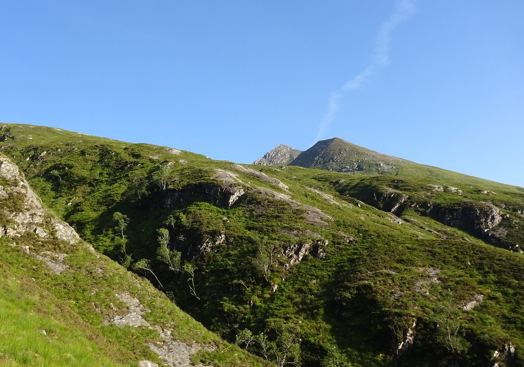 Binnein Mor from upper Glen Nevis
 We were now into the part of the evening where the hillsides had a golden glow, and also back on the easy path through Glen Nevis. David had been trying to work his way through a backlog of pressups from some daft challenge all day, and the bridge at Steall ruins presented the chance for a final 20. We also just about made it to the falls before they disappeared back into the shadow.
 Looking back to Binnein Beag and Mor
 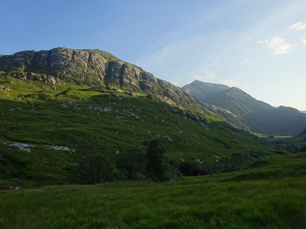 Sgurr a Mhaim and Glen Nevis
 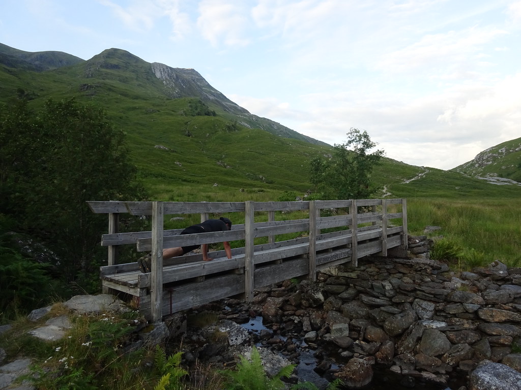 David takes his exercise seriously
  Steall Falls
 It was Saturday night and Steall meadows were absolutely heaving with campers. As we wandered back down the gorge, loads more were still walking up with overnight gear, despite it being almost 9pm. We wondered briefly if we would be blocked in - this many people require a lot of cars! As it happened, we were fine - the carpark is bigger than you think. None of this really detracted too much from the place (despite spotting the odd unburied turd). This year probably is the busiest ever in the highlands, but the head of Glen Nevis has always been busy so the quantity of people comes as less of a shock than in some of the more remote places further north.
 Steall Falls and An Gearanach
  Back down Glen Nevis
 Back at the car at 9pm, I wondered what to do. Jackie had gone off to Gairloch for a couple of nights worth of camping, so I could potentially have joined her or stayed in Glen Nevis with David to do Stob Ban the next day. In the end, I opted to go back to Inverness and sleep for a long time! It had been a great day out, and despite the continuing good weather I didn't feel at all like I was missing out by not doing it all again tomorrow.
