free to be able to rate and comment on reports (as well as access 1:25000 mapping).
This was day 3 in the hostel at Kinlochleven and for a change the forecast was favourable.
The 8 of us were splitting into small groups and I got the short straw as my company for the day was the unique Mr Smith and Miss selfie herself, Kerrie.
Parminder was flying solo and allegedly managed Bidean nam Bian and neighbour, he even showed me photo's to prove it.
As I had already been up Bidean twice and didn't fancy doing it again, I took the opportunity to tackle Creise and neighbour. Over the odd alcoholic beverage Steve & Kerrie offered to join me, so that was sorted.
After the long day yesterday, there was no rush to leave early, the eastern end of Glencoe would only take about 30 mins to get there.
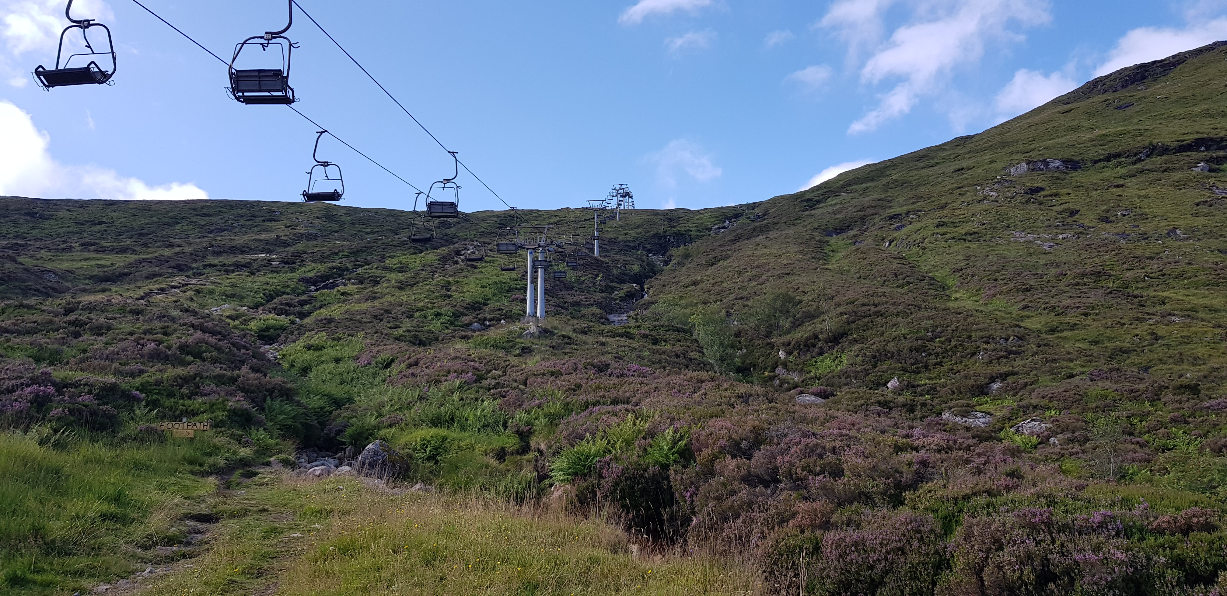
We arrived at the ski centre car park and it wasn't very busy and we were soon on our way.

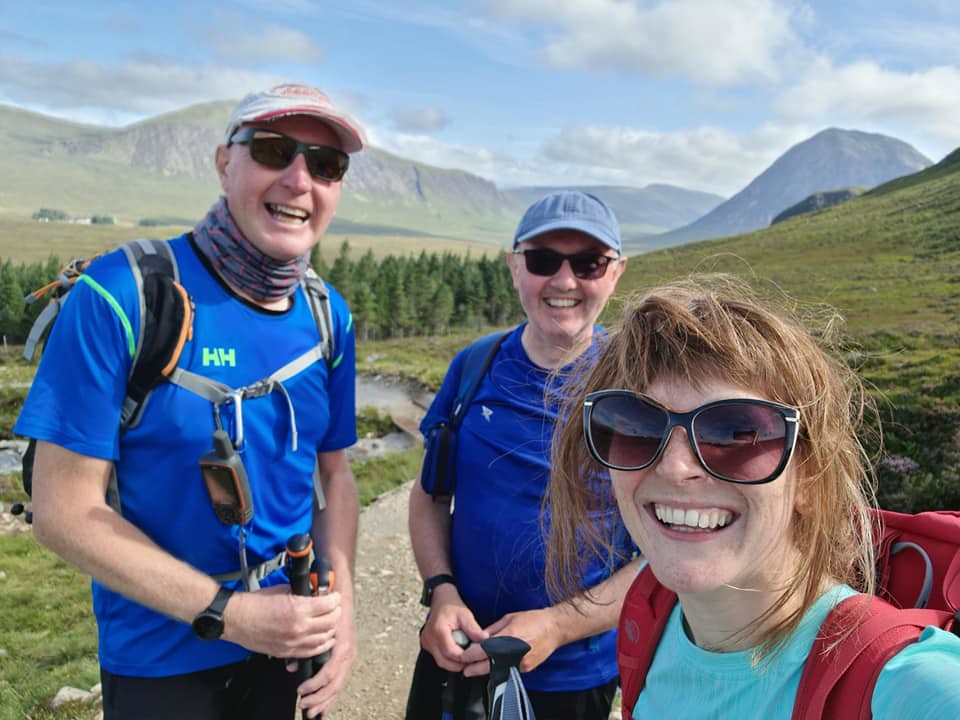
First selfie of the day and we haven't even left the car park
You don't need to worry about missing or losing the path as I counted at least 4 hand made signs indicating the way uphill for walkers

Low level look back, chair lift not busy

All smiles
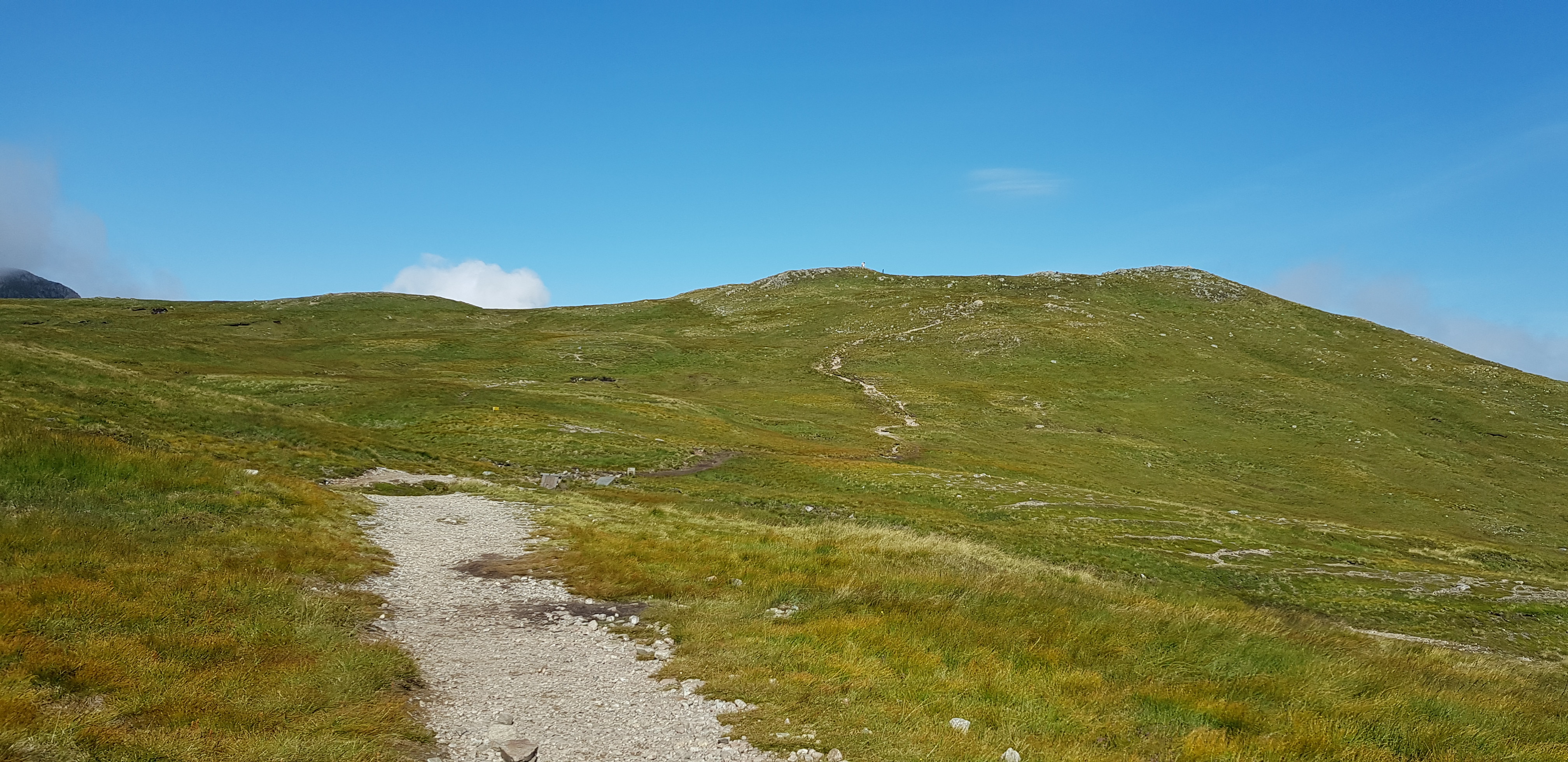
The way ahead and the path doesn't look that obvious

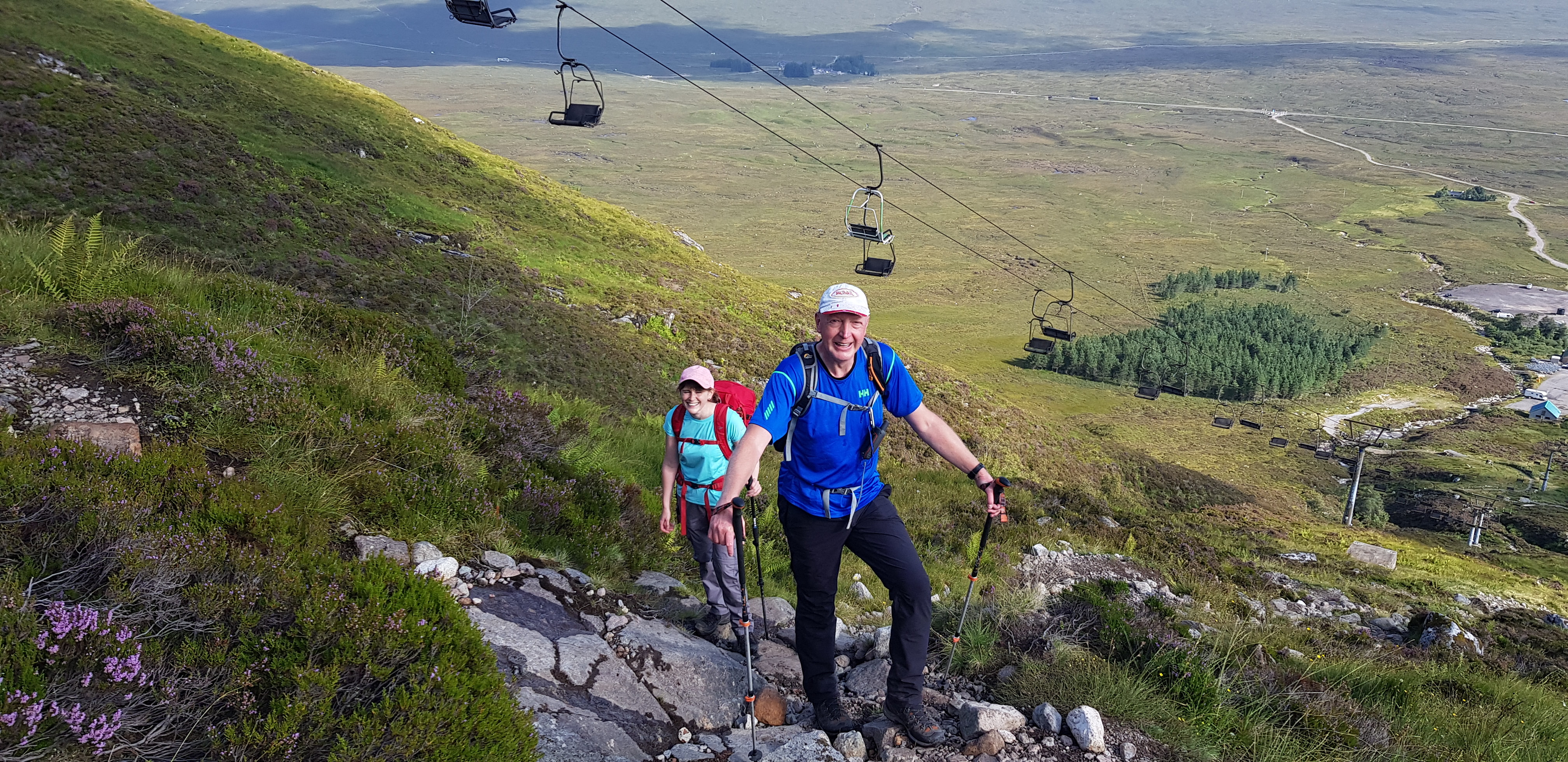
Gaining height fairly quickly
Time for a pose

Rannoch Moor

A socially distanced photo

Gaining height now, the A82 looking tiny
The way ahead, if you are able to zoom in you will notice a bride & groom on the hill ahead

The sunken bridge - over a raging torrent

The Big Bookil looking stunning and guarding the entrance to Glencoe

The way up and ahead to the boulder field

Kerrie spoiling a good photo

Now on the boulders, looking down on the wee hill where the bride and groom were

Pit stop, what the photo's don't show is how blowy it was, so it was time for the wimps to put on jackets and gloves

Entrance to Glencoe from slightly higher

Head down - otherwise your cap is away

Steve obviously taking his time

Steve on the move again, Rannoch Moor in the background
The renovated Kingshouse Hotel can now be seen
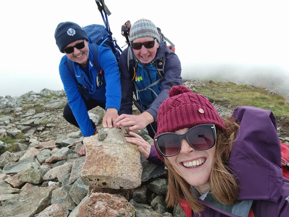
Summit of Meall a' Bhùiridh

Steve indicating that he has now managed 05 or 50 Munro's - you decide

Selfie time

Lunch time and this was our view, the summit acted as very good wind break

Looking south

The cloud was whistling through

Kerrie having a chat with the hillside

Atmospheric shot to the south

Looking across to Rannoch Moor over some of the chair lift paraphernalia

Looking towards Bridge of Orchy

Interesting cloud formation

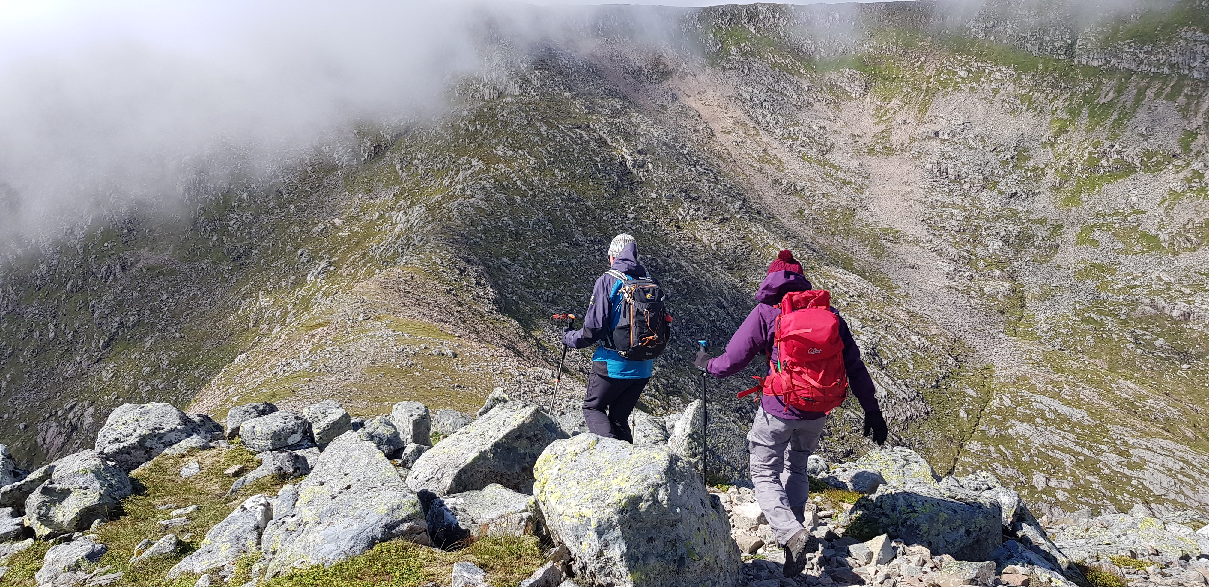
The way down and ahead, nice broad ridge which was just as well as the wind was a tad gusty

Romping down the hill

Taking care
It looks like we don't have far to descend

Kerrie wanting to dance

The way up and ahead

Glad I took this photo looking down the glen. We would descend down the grassy slope on the left, down to the base of the glen, cross the raging torrent and then traverse along the boulder field on the right. That would save us retracing our steps.

Looking back up to the summit of Meall a' Bhùiridh

Another shot of the rocky traverse we would undertake, that would bring us out on the original ascent path

Wild bluebells?

Cloud descended on our first summit

Kerrie looking impressed with the casual pose

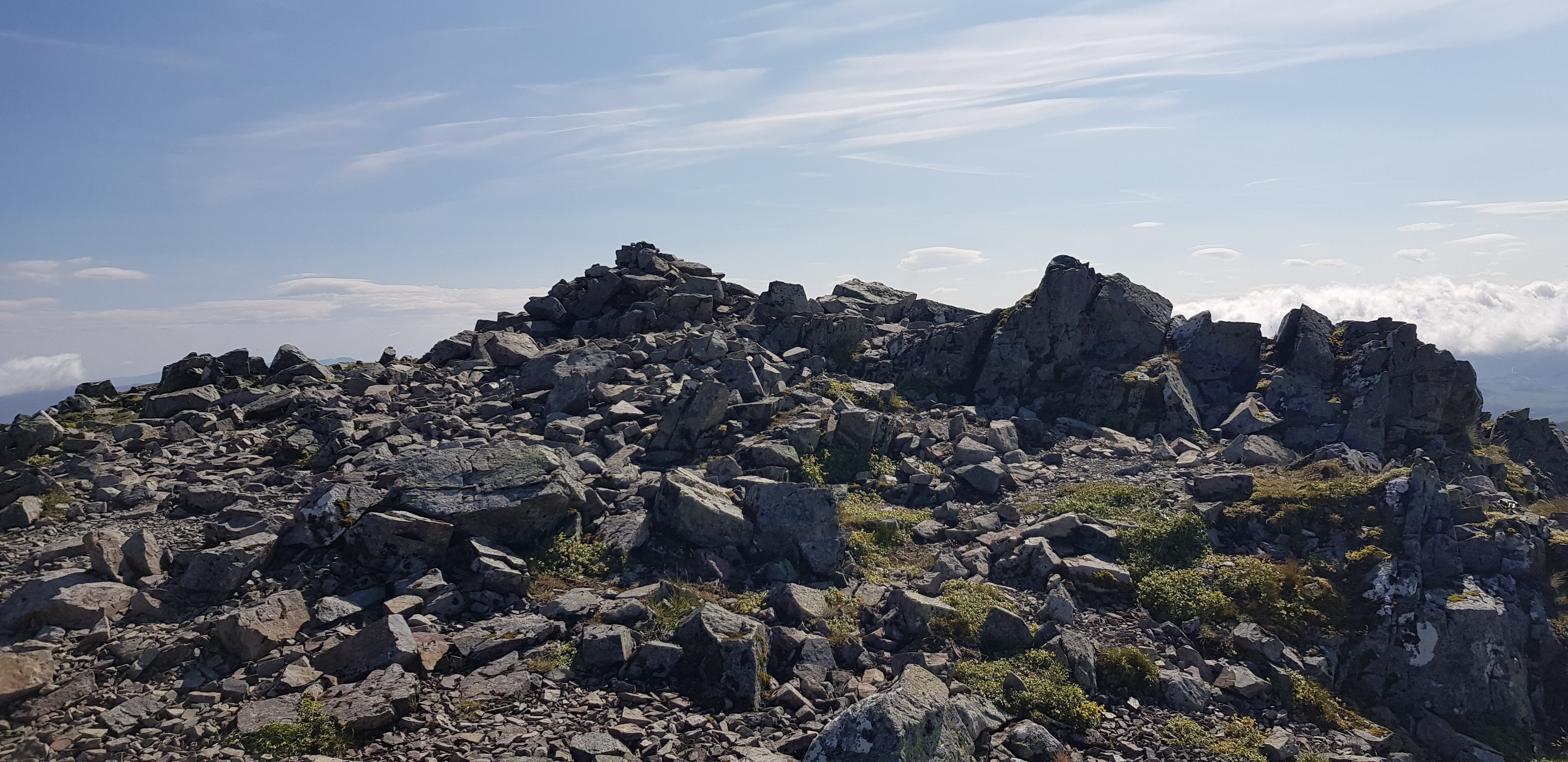
The wild woman of Creise

Kerrie rushing up to the summit of Creise

Steve doing a bit of hopping before posing again

Posing - one thing he enjoys and is good at

Looking east across to our first summit

We are going to descend down there

I had managed to keep my new boots fairly clean

Steve trying to master the art of descending steep grassy slopes

It doesn't look that steep

The Paisley descending technique

Kerrie descending down a different bit but is making her way across

Posing again

Kerrie trying a different descending technique, one slight problem you end up with a green rear end

Still a bit further to go, plan was to stick to the grass
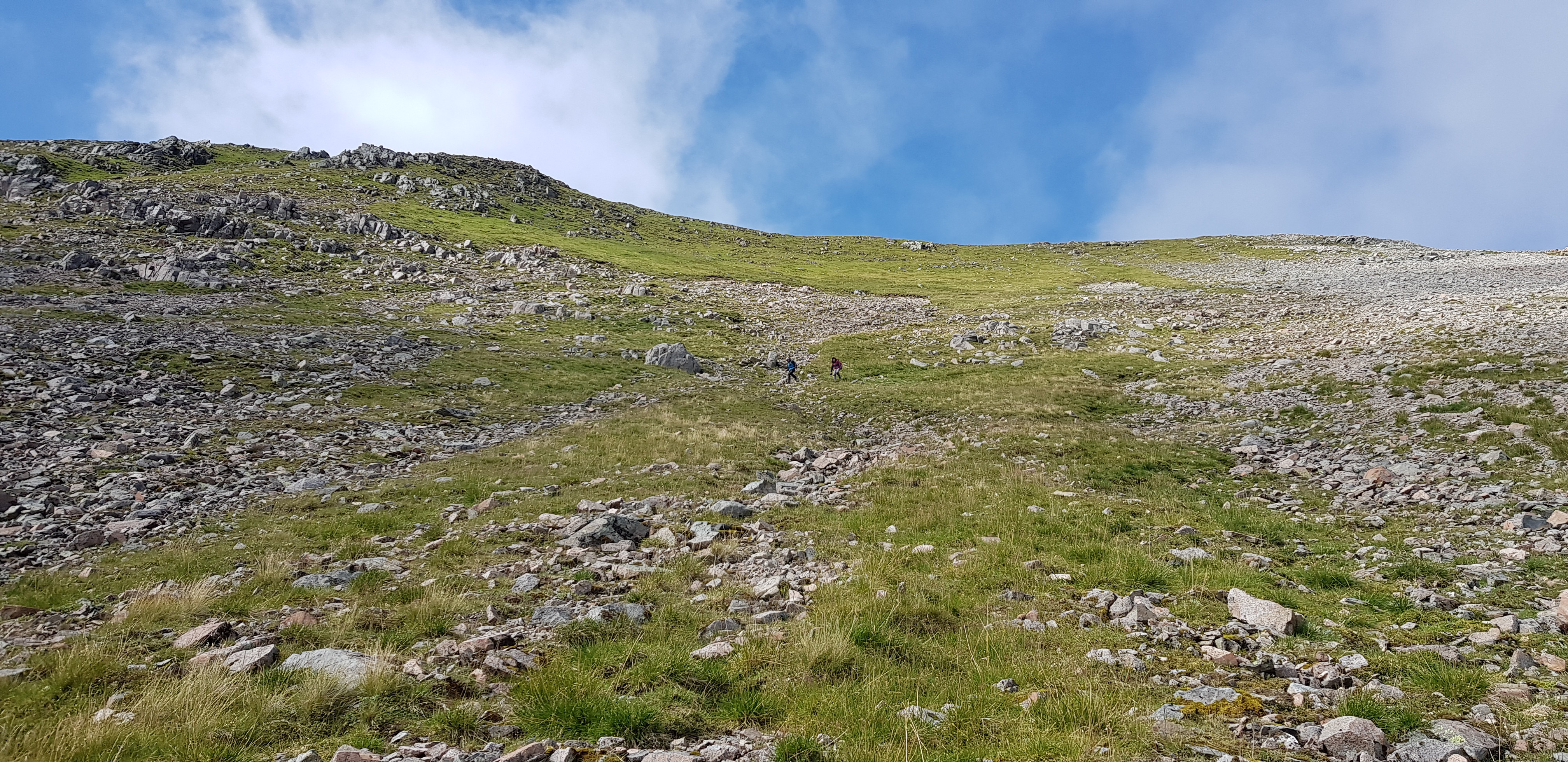
I was obviously making good progress as my colleagues are getting smaller

I was near the bottom now

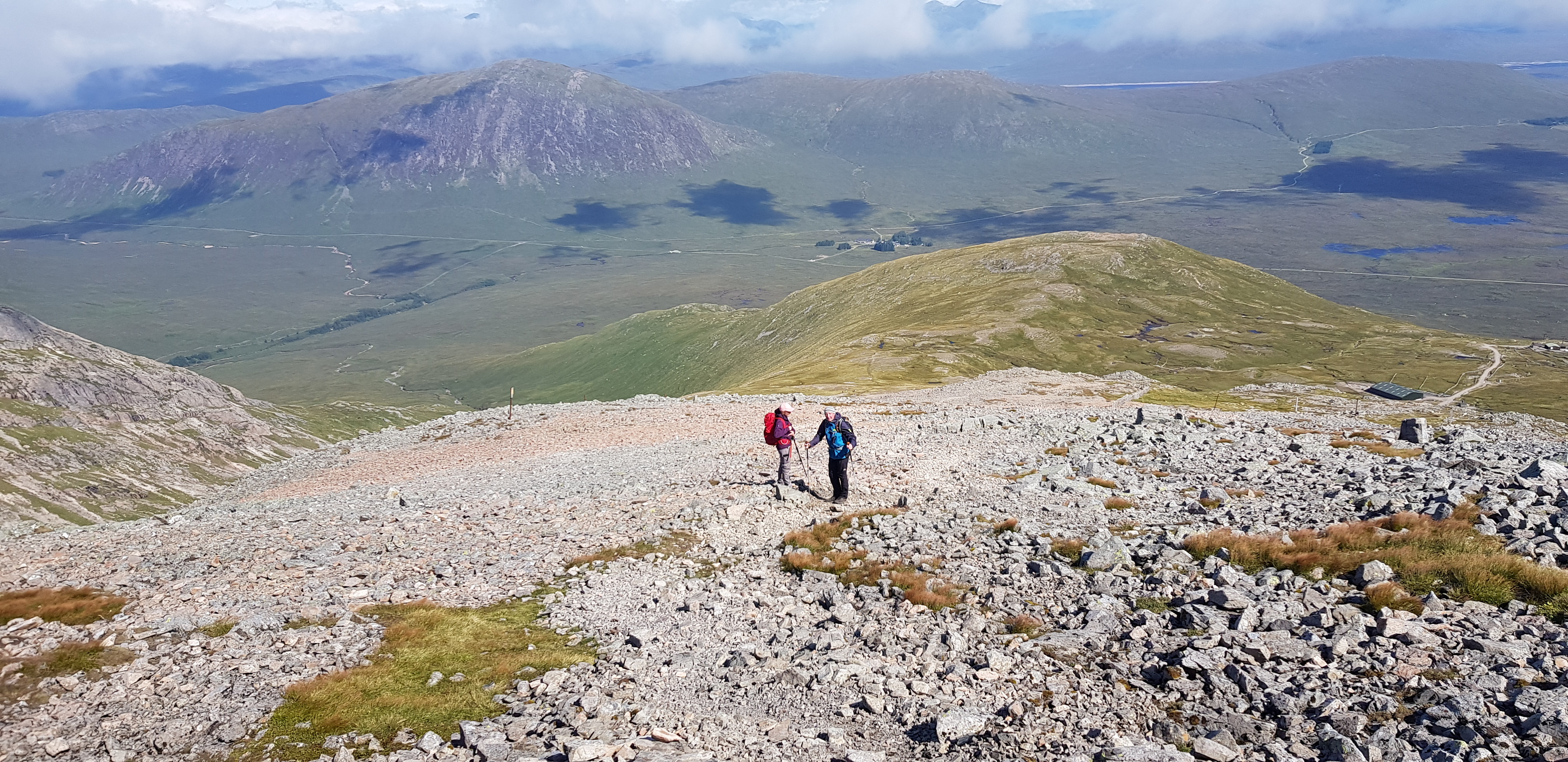
Looking at the traverse ahead

A video of my colleagues and a quick spin round the glen, it got a wobbly towards the end as the wind nearly blew my cap off

Another pose

A lovely clear pool, only deep enough for a paddle

Kerrie had allegedly banged her knee, it gave her the opportunity to be Parminder's deputy and start moaning about boulders and rocks

Concentrate
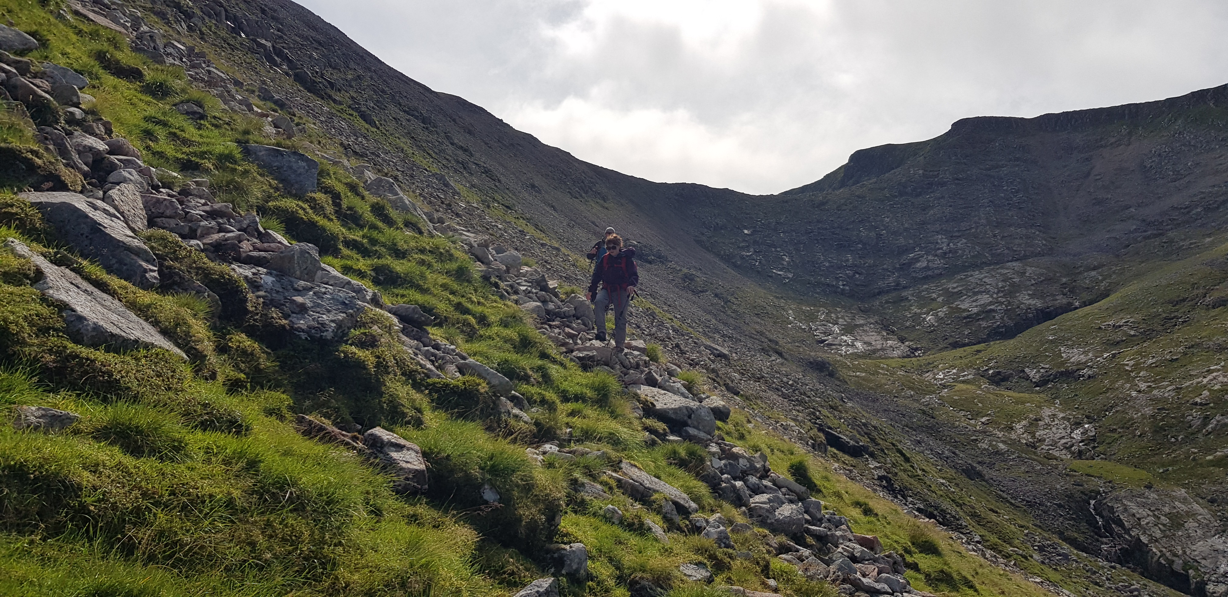
This photo shows the angle of the traverse we were tackling

Looking back

Big Bookil just appearing

Chair lift much busier now

Camera photo of the bride and groom
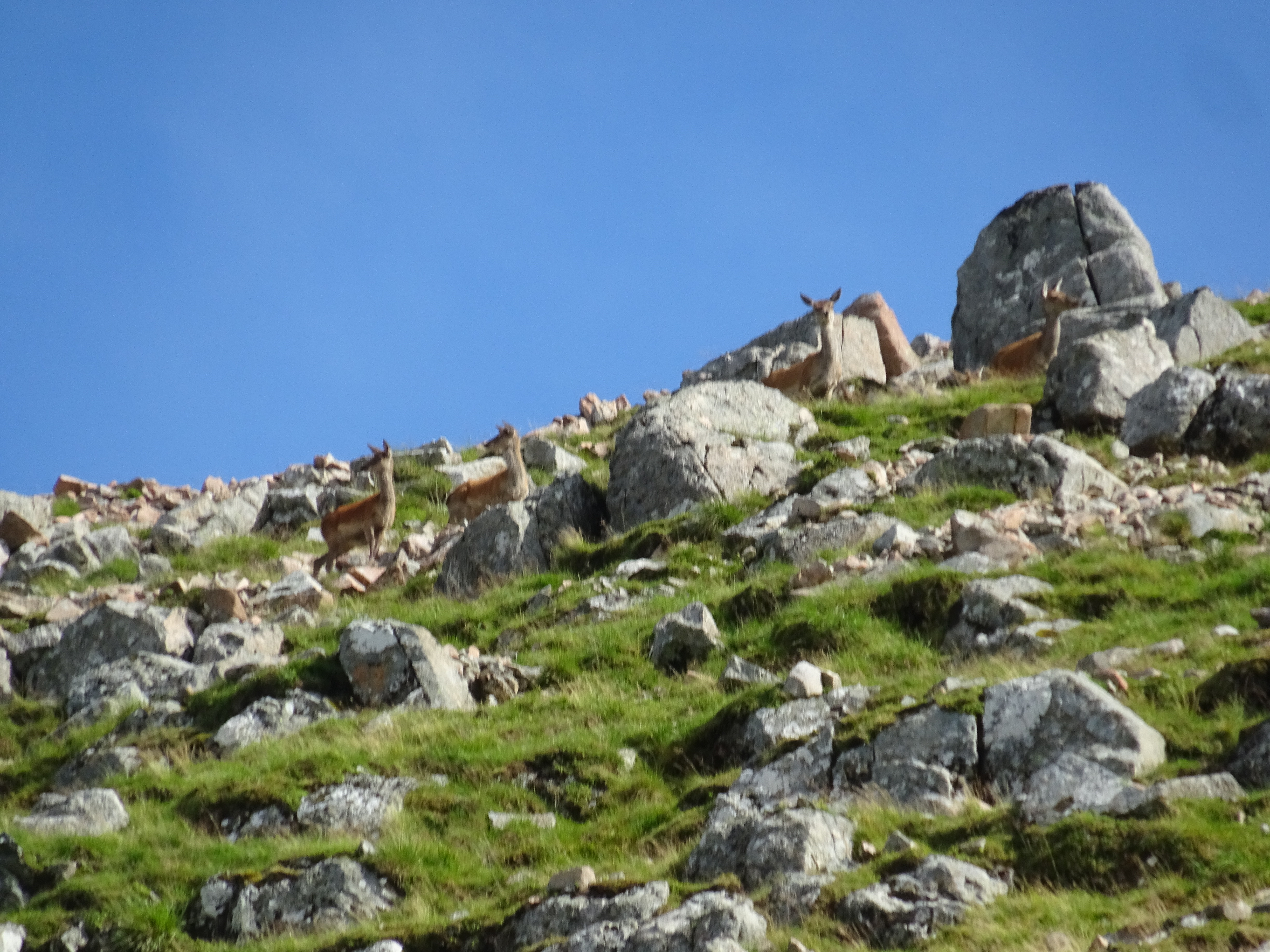
Camera photo of a small herd of female deer

A few borrowed photo's

What a fabulous day, a massive thanks to Steve and Kerrie for their superb company and banter. The weather was behaving for a change, the wind was a problem but definitely didn't spoil the day.
