free to be able to rate and comment on reports (as well as access 1:25000 mapping).
I climbed this hill in September 2021 travelling from Fort William to Glenfinnan by train arriving at 09:04 and leaving at 16:55. Weather conditions were superb with good visibility, very little wind and temperatures in the low 20s.
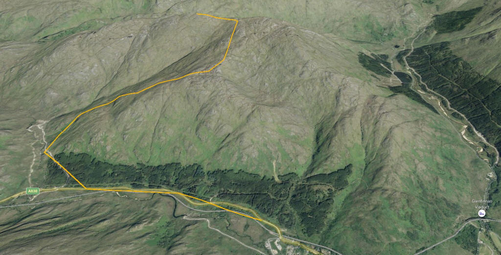
The 3D image gives an impression of the terrain.
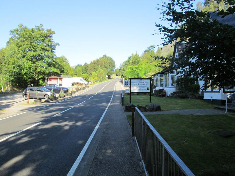
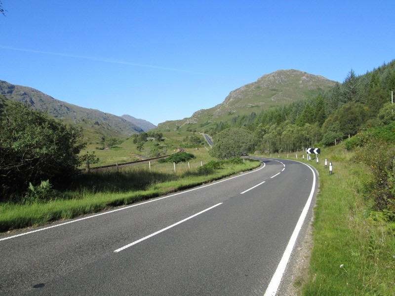
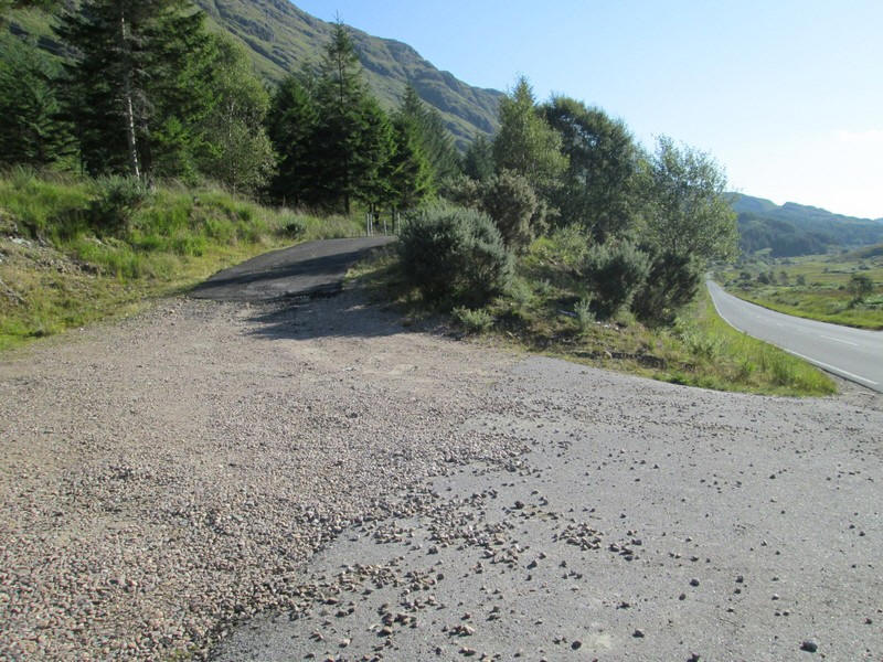
The first 40 minutes of the walk were along the A830 which has good verges along this section.
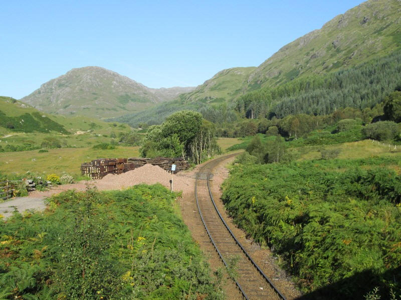
On the outskirts of the village the Mallaig line is crossed....
......then paralled.....
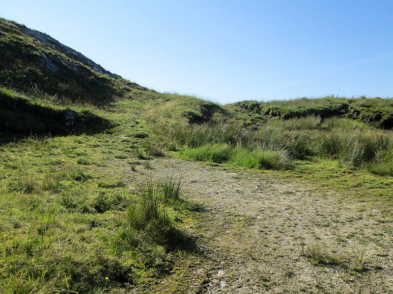
.....until just before a bridge over Allt an Utha stream where a forest road doubles back...
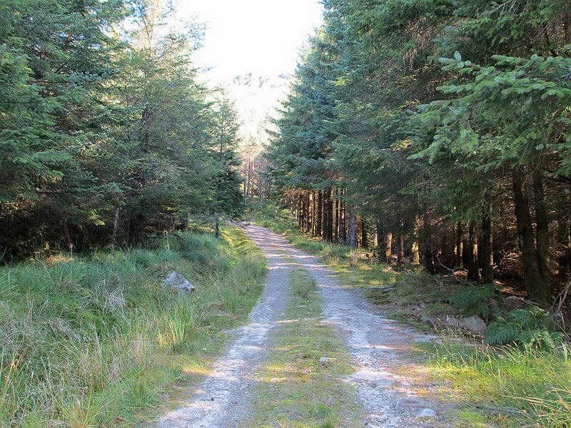
...and climbs through trees.
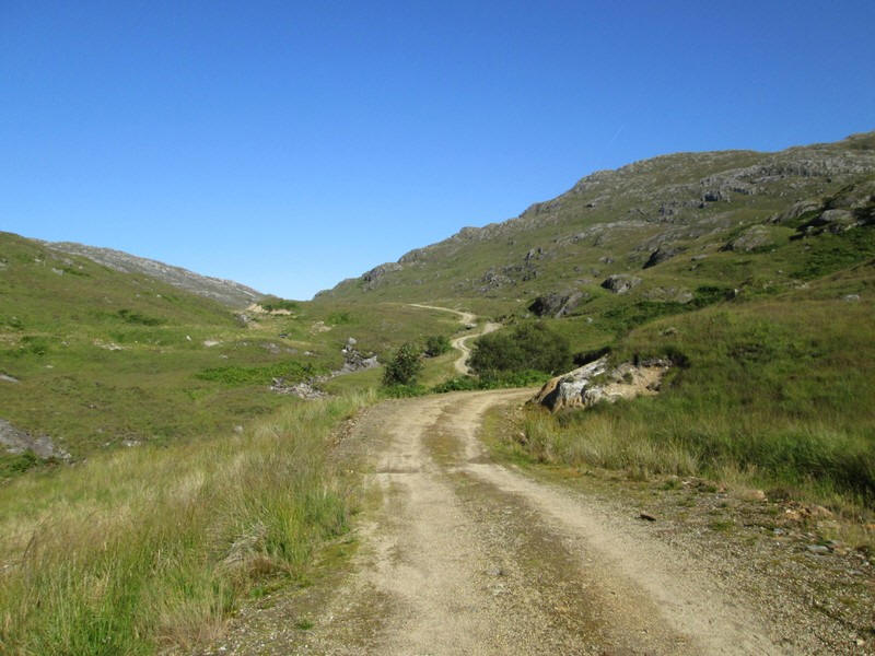
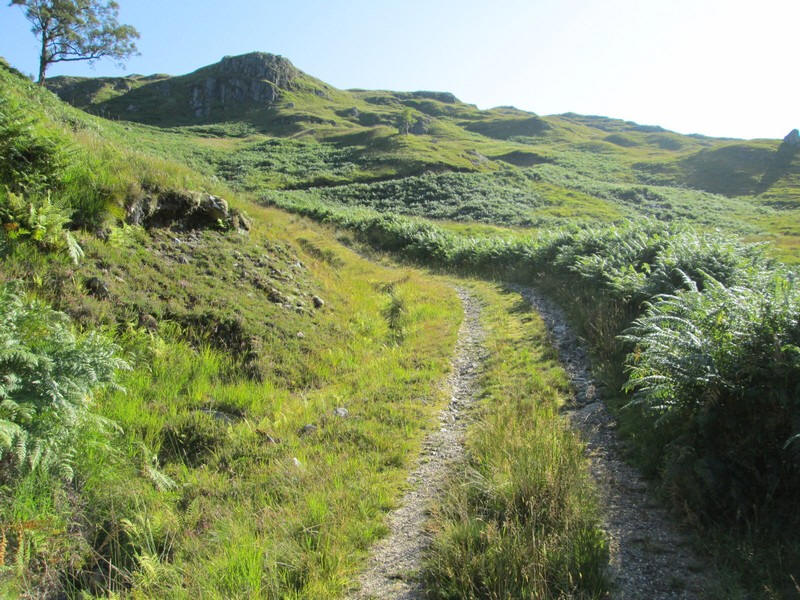
Reaching the open hillside the track climbs gently to reach...
....a junction just before a bridge over the Allt an Utha. This is where the climbing really starts....
......as the vehicle track starts to zig zag uphill.
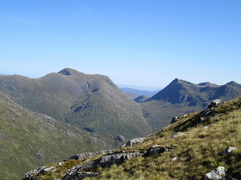
Looking back with Beinn Odhar Mor (870m) over to the right and Sgurr a' Mhuide (562m) directly ahead.
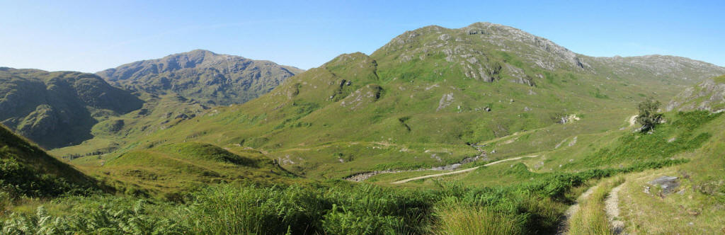
The track levels out at about 350m and gives the first good view of Sgurr an Utha on the left side of the photo with the corrie of Coire an Utha directly ahead. The route to the summit involves climbing uphill to the right and the crossing the ridge at the head of the corrie.
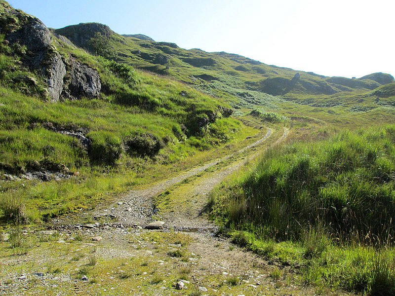
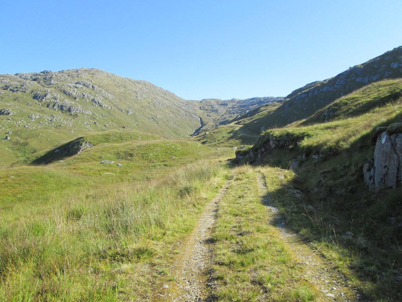
There's another steep climb to reach the end of the vehicle track....
....at a tunring point at NM 888 826. I had expected from descriptions of this walk that therewouldn't be a path any further but....
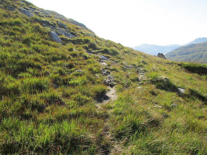
....as can be seen there is quite a clear path onwards.
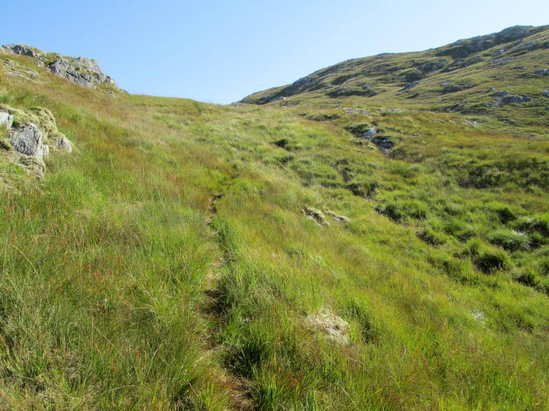
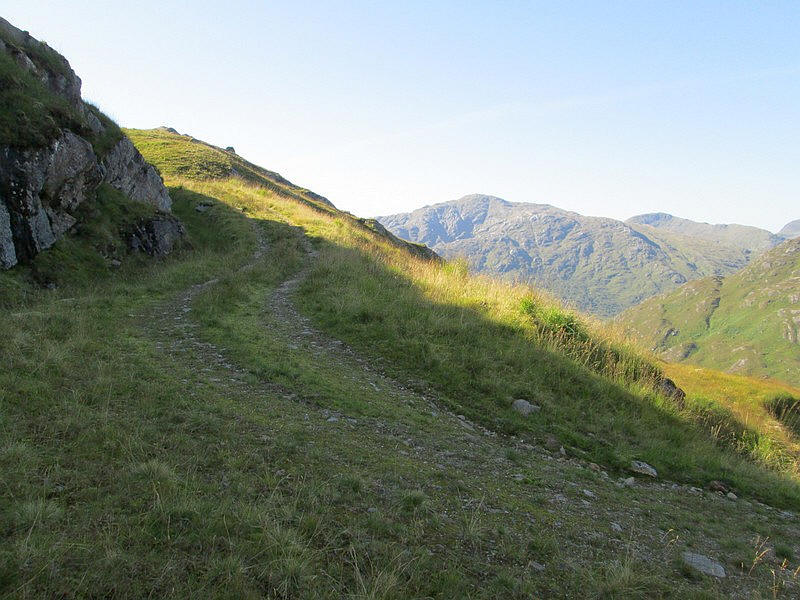
It climbs to a saddle below some outcrops of rock seen on the skyline.
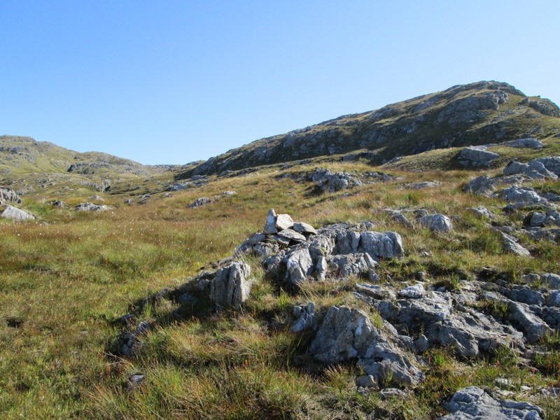
Eventually the path peters out at a small cairn at NM 88444 82770 (542m).
I headed up towards a depression near the crags and found another cairn at NM 88545 82725 (572m). Both of these were entered into my GPS to help find the path on the return walk. I continued walking uphill past the crags on the right....
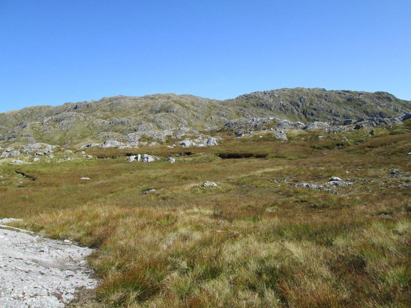
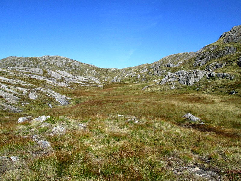
.....and came out onto an open moorland.
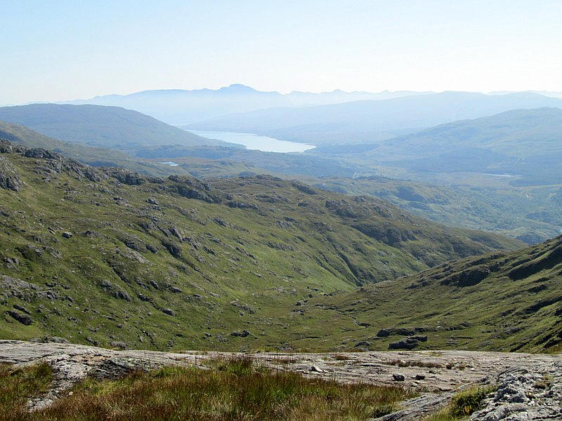
Looking down into Coire Dubh whilst to the east the end of Loch Eil can be seen with the summit of Ben Nevis beyond.
From here the way forward means picking you way around rocky outcrops which is easy enough in clear conditions but would be much more difficult in mist. Ahead is Fraoch-bheinn which is only 6 metres lower than Sgurr an Utha.
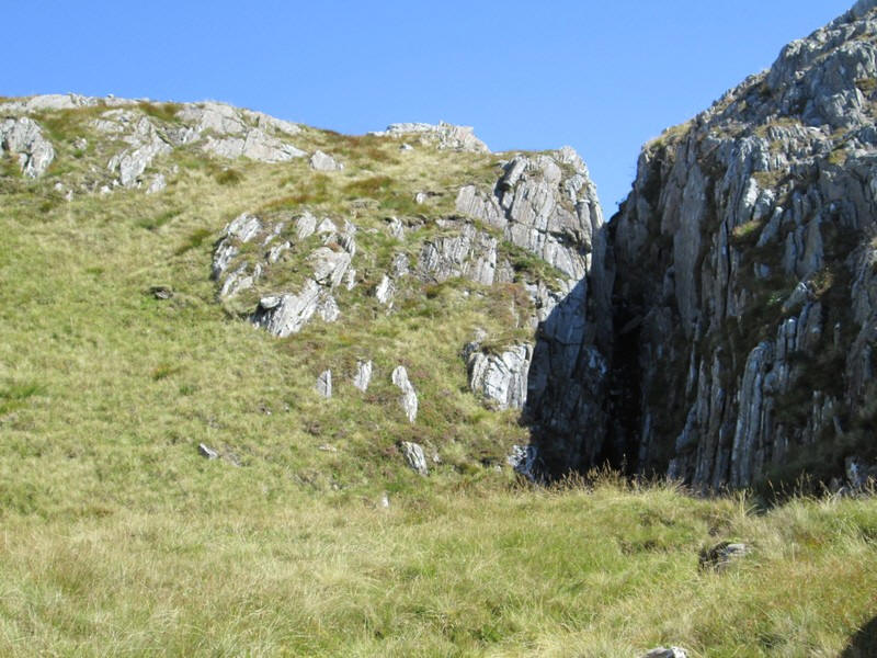
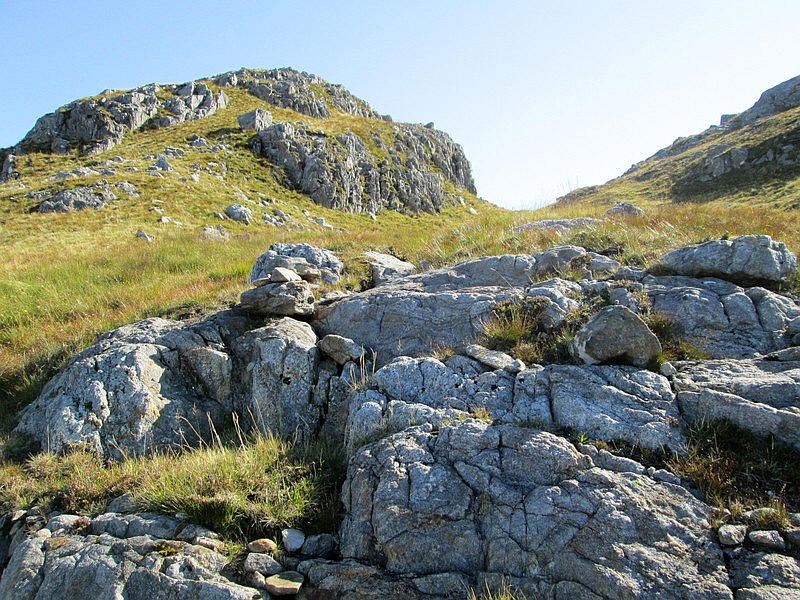
There are several interesting rock formations to be seen including this cleft which extends quite a distance into the hillside. On my way back down the hill I took a different route and had to work around the head of the gully.
Here I'm approaching the ridge...
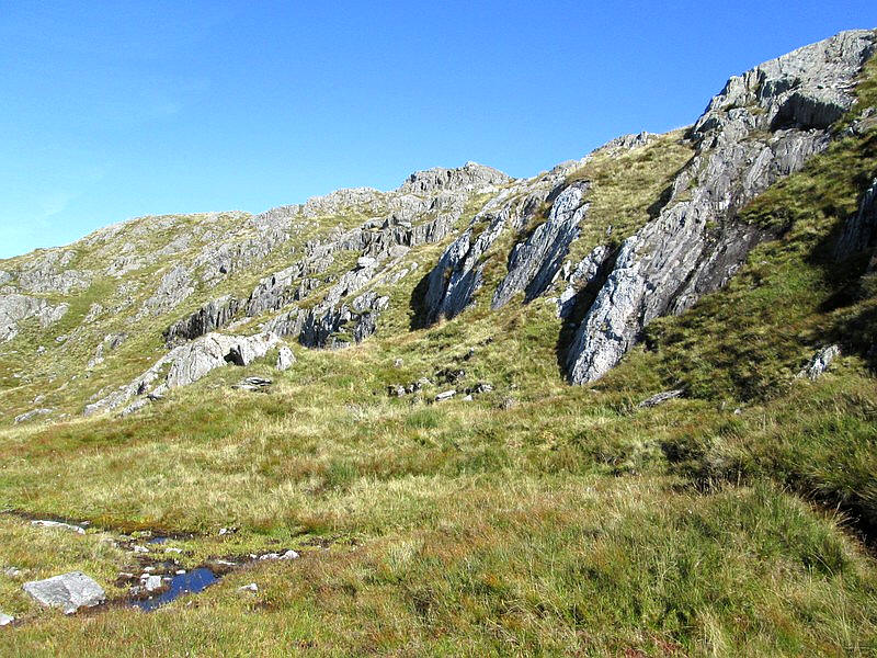
....which as can be seen has some dramatic rock formations fortunately with many places to climb around on grass.
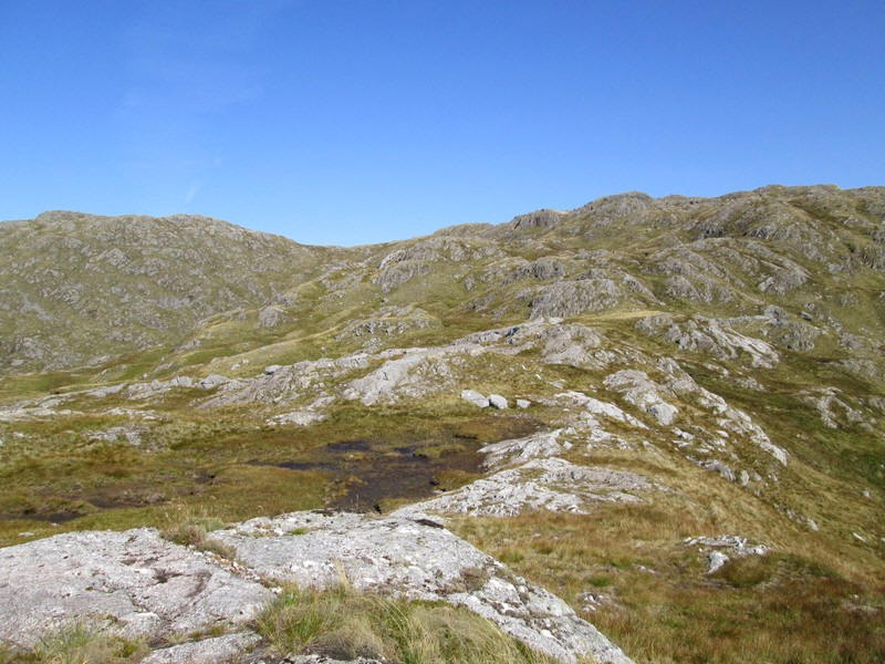
Looking back downhill towards a small lochan.
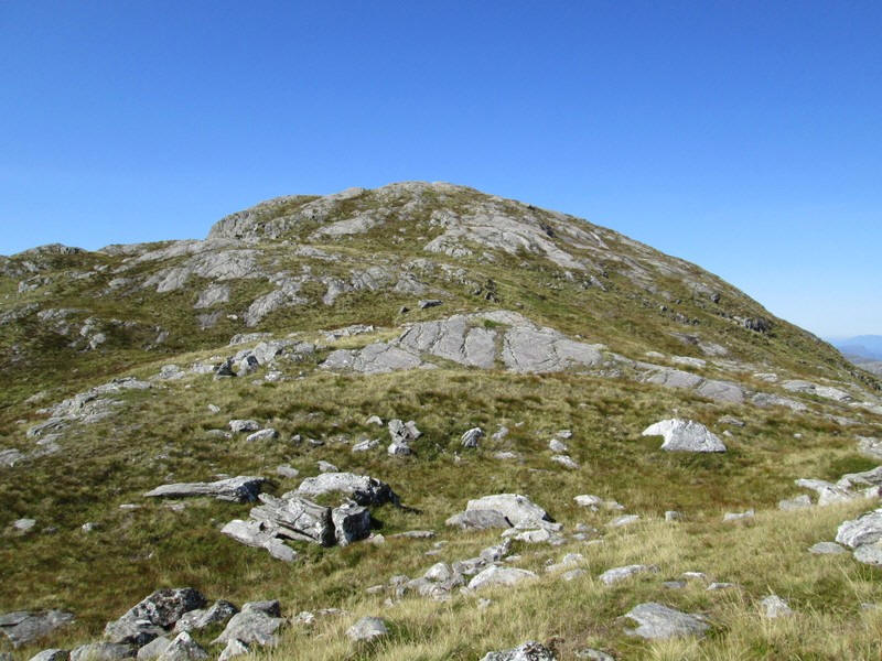
Once on the ridge there is pleasant walking with the summit now in view a few hundred metres away.
The hills on the isle of Rhum (34 miles away) are clearly seen.
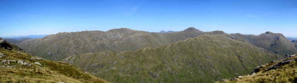
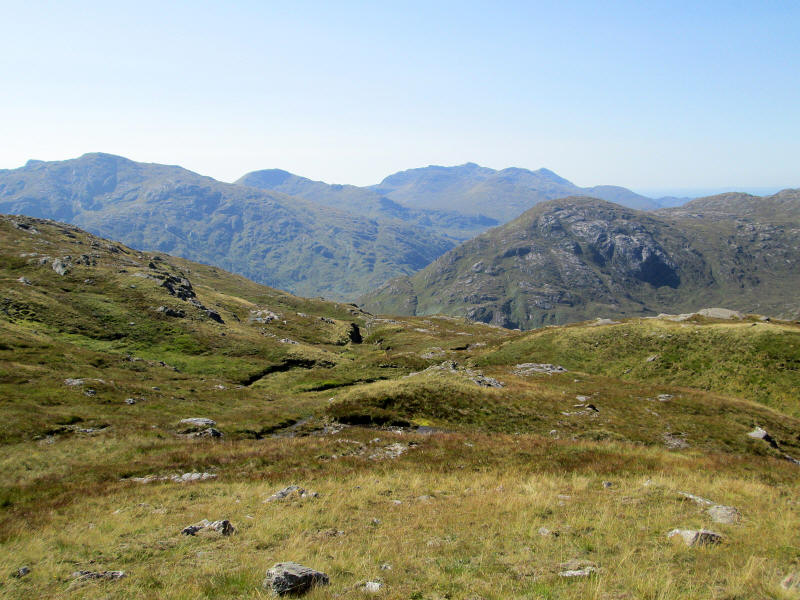
Looking north along the range of hills that gradually ascends to the two Glenfinnan Munros of Sgurr nan Coireachan (955m and right of centre) and ends at Sgurr Thuilm (963m) on the right
The dramatic view of Sgurr Thuilm (963m) and, on the right, Streap (909)m and Gulvain (987m) which are accentuated by the superb light conditions.
There's another rise from the spot height at 735m...
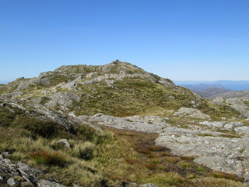
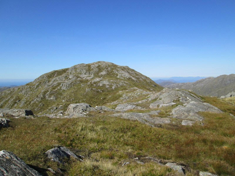
...and then the summit of Sgurr an Utha comes into view.
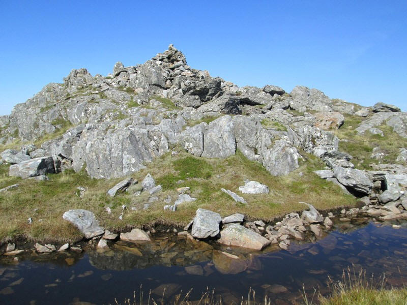
At 796m Sgurr an Utha isn't one of the highest Corbetts but it is a superb viewpoint. It had taken me 3 hours twenty minutes from Glenfinnan station, about a quarter of an hour longer than I'd estimated.
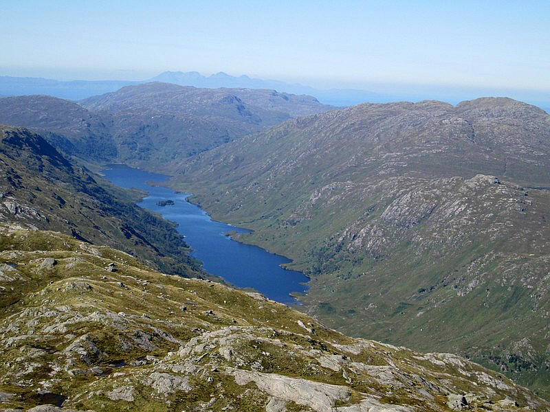
Just to the west is the superbly situated and completely isolated Loch Beoraid with Rhum beyond.
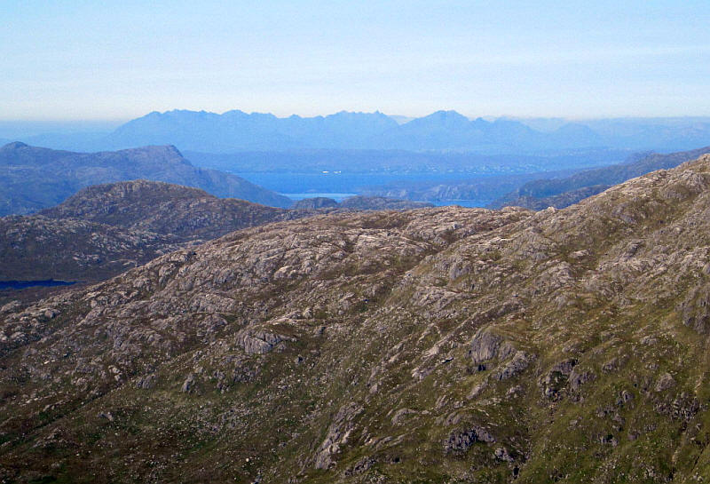
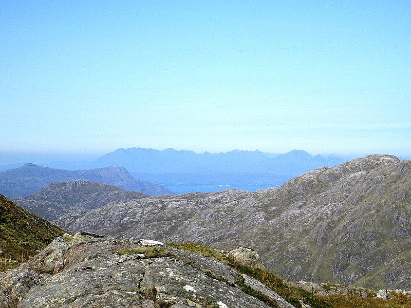
The Cuillin mountains on Skye are nearly forty miles away. In the centre is the Sound of Sleat with the southern part of Skye beyond.
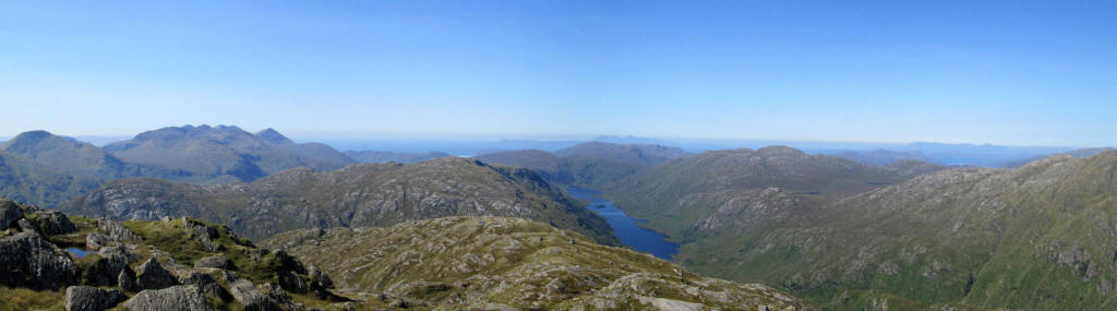
Looking west from the summit over Loch Beoraid with the isles of Muck, Eigg, Rhum and Skye all visible in the distance.
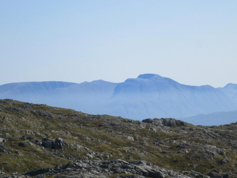
To the south east the unmistakeable shape of Ben Nevis is 20 miles away.I decided to return the same way rather than come down the south west ridge of Sgurr an Lutha.
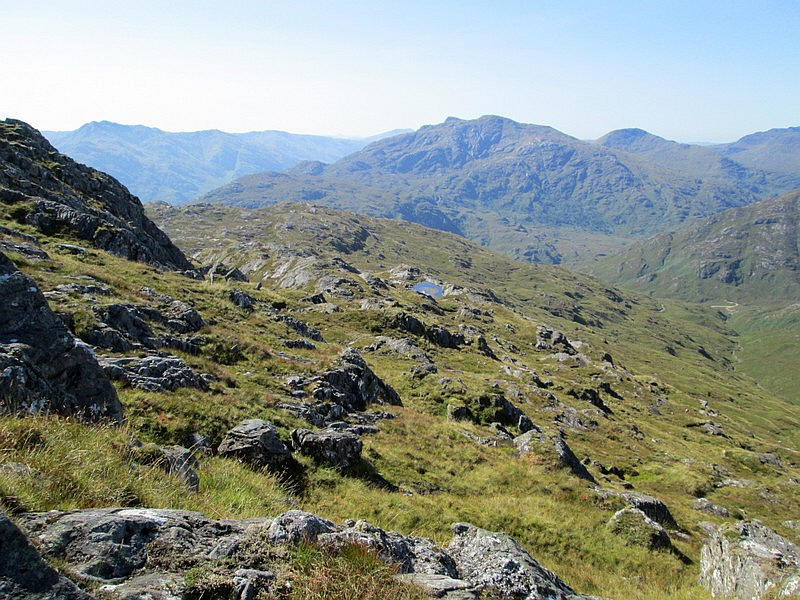
Finally, a view on the way down the hill showing the two Corbetts that lie south of the Mallaig railway.
I took my time back to Glenfinnan taking about three hours with several breaks for drinks and food.
