free to be able to rate and comment on reports (as well as access 1:25000 mapping).
Our last Fisherfield Munro on a long walk in from Inchceril. We thought it was an ambitious route to be done at a time of year when there was little margin for error with the fading light, but returning on a very safe track which would be fine with torches if necessary. We actually took less time to finish than we'd expected and had a great sense of achievement. The weather was OK but the photos came out looking gloomy.
First view of the mountain of the day, the one with the clag


A closer look for the beallach to the east of Beinn Tarsuinn, our goal is on the left.

We had some difficulty finding the path that skirts Meall Garbh, it is slightly lower than the place where we were standing.
The view into Gleann na Muice with the bowl being formed by A' Mhaighdean, Ruadh Stac Mòr, Beinn Dearg Bheag and Beinn Dearg Mhor

We made the long slog up Mullach Corrie Mhic Fearchar, being overtaken by a largish group of men out for a jolly

. They were quite clearly having a ball, so was I but I guess it didn't look like it!
Summit view to A' Mhaighdean and Ruadh Stac Mòr

Back to the Deargs, An Teallach was in cloud most of the time we were on the summit.

Sgurr Ban

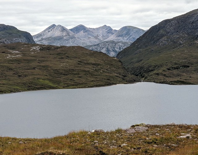
The view south to Lochan Fadda, the Torridans and Slioch

South west with the Knoydart and Applecross hills joining the skyline, as well as the Trotternish peninsular in the distance.

Roger getting ready to go

The Summit of Mhic Fearchar from a different angle

The bypass path that skirts Meall Garbh

Lochan Fadda and Beinn Eighe

And again
Panorama from the route out

Beinn Tarsuinn and Mullach Corrie Mhic Fearchar

Beinn Lair

Almost back to the car - the switching station on the hydro system with Beinn Eighe

All in all a great day, the temperature was just right for the walk.
