free to be able to rate and comment on reports (as well as access 1:25000 mapping).
Our second visit to Scotland inside a couple of months saw us staying at the same Premier Inn as last time at Dumbarton calling first at Leversgrove Park where we had a stroll about in the sunshine that had followed the rain showers that we had chased into Scotland. A beautiful park with a great many varieties of trees and flowers plus many interesting features dotted about the place. That was Sunday done with.
Monday dawned dry and warm but with disappointedly low clouds as we set off for Loch Long and the car park at Succoth that is situated right at the start of the walk. The tide was out and the beached seaweed filled the air with its strong salty aroma as we got ready for the walk. There was a good few cars parked up indicating that it was going to be busy on the hills today.
Looking across Loch Long we could see a part of Arrochar and the cloud infested Ben Reoch and Tullich Hill that didn’t bode well for any significant views today. As of my last walk report in Scotland please forgive any errors in misnaming any of the mountains or hills and please feel free to put me right where I am wrong.
 View to Arrorchar-Ben Reoch and Tullich Hill across Loch Long
 This is not a report of an epic walk up a mountain but more of a staid walk in warm weather wrapped in clag from the start to about a third of the way back when the clouds did lift somewhat.
Directly across the road from the car park is where we accessed the Argyll Forest Park and where there are two portable toilets that seem to be a sensible and welcome facility and not Directly across the road from the car park is where we accessed the Argyll Forest Park and where there are two portable toilets that seem to be a sensible and welcome facility and not the first that we have seen in Scotland, something that should be considered by those running the Lake District.
 A handy start to the walk
 The climb up through the trees is very steady along a well graded path and presents no difficulties whatsoever; in fact the path carries on in this vein more or less all the way to the summit. A great patch of Indian Balsam was passed, an imported flower escapee that is the scourge of river banks and any damp place where it can find a home.
 Indian Balsam - a rampant weed import
 There is a lot of this along the banks of the River Eden near where we live and when it’s in its seed pod stage they can be heard to pop sending the seeds rattling for a good many feet away from the plant so spreading itself with gay abandon.
We climbed steadily through the trees until reaching the site of the old dam at the 330 metre point.
 Arrorchar view point at 92 metres
 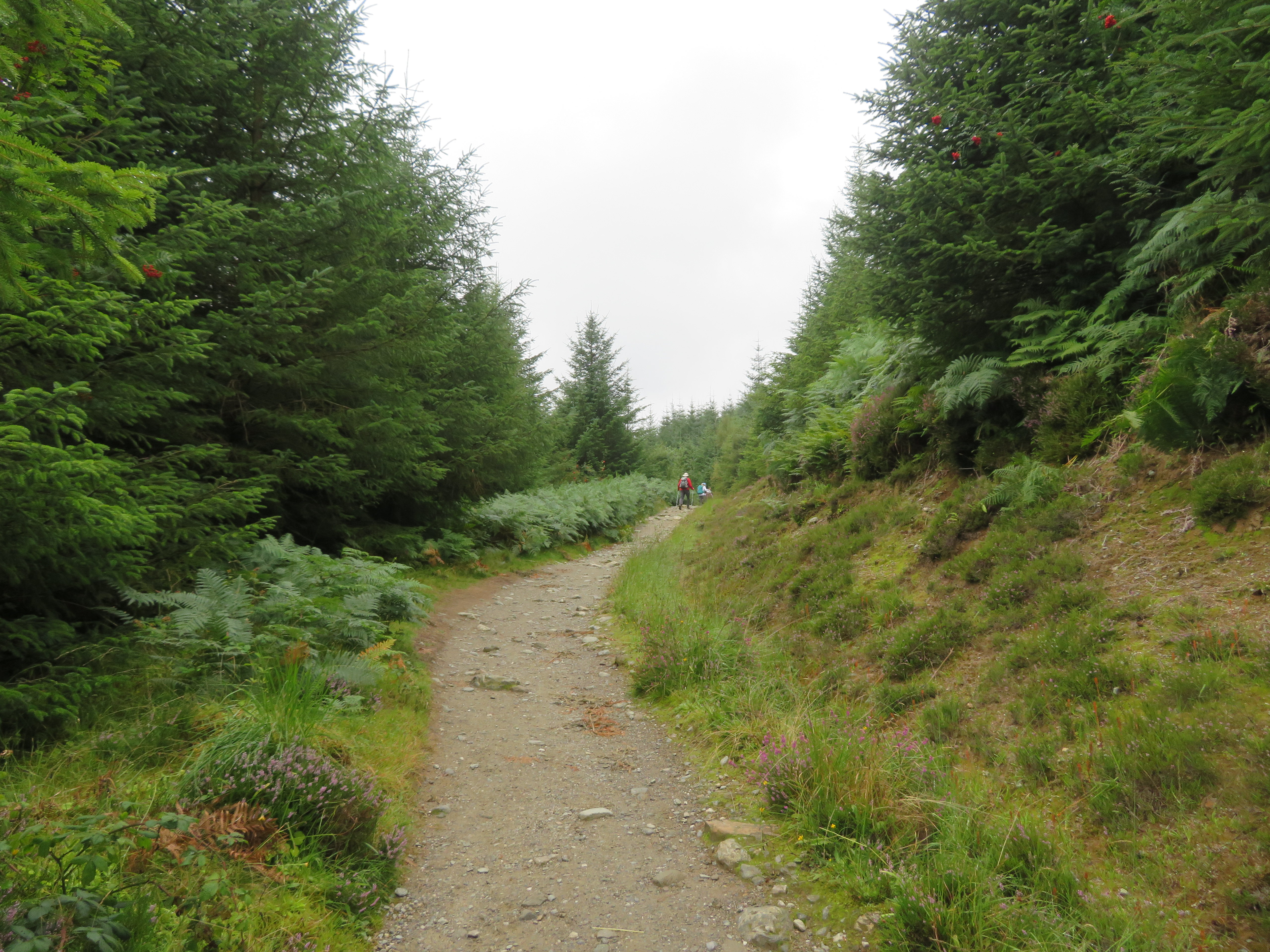 A well graded path through the forest
  Old dam at 330 metres across Allt a' Bhalachain
 So far the clag hasn’t been too bad but from this point it gets increasingly thicker clearing only slightly as we approached the south slopes of Beinn Ime.
 Ben Reoch and Tullich Hill
 We were to follow the line of the Allt a’ Bhalachain all the way up to the now overgrown Lochan Chlaidheimh passing the huge Narnain Boulders on the way. We could see the clag slowly closing in on us the higher we climbed. We stopped for a break just above the old dam before continuing on to the foot of the climb up The Cobbler’s northern slopes and our turn to the north for Beinn Ime.
 There are mountains in there somewhere
 The Allt a' Bhalachain with An t-Sron and The Cobbler behind
  The Allt a' Bhalachain dam
 The heather was glowing with colour with the various grasses, lichens and mosses likewise looking lush and green showing their best sides due to the damp atmosphere.
 Pitched stone steps amongst the heather
 A few minutes after leaving the steps behind the Narnain Boulders came into view looming large and grey under the cloud cover.
 Narnain Boulders now in view
  Narnain Boulders
 Another few minutes along this really easy path found us at the marker for the northwest access to the summit of The Cobbler.
 Climb west for The Cobbler at NN268058
 Apart from mentioning that it’s a really easy climb so far there’s not much to describe apart that we were warm and enjoying the walk and as much of the surrounding ground as we could see. Maybe it’ll be better on the way down?
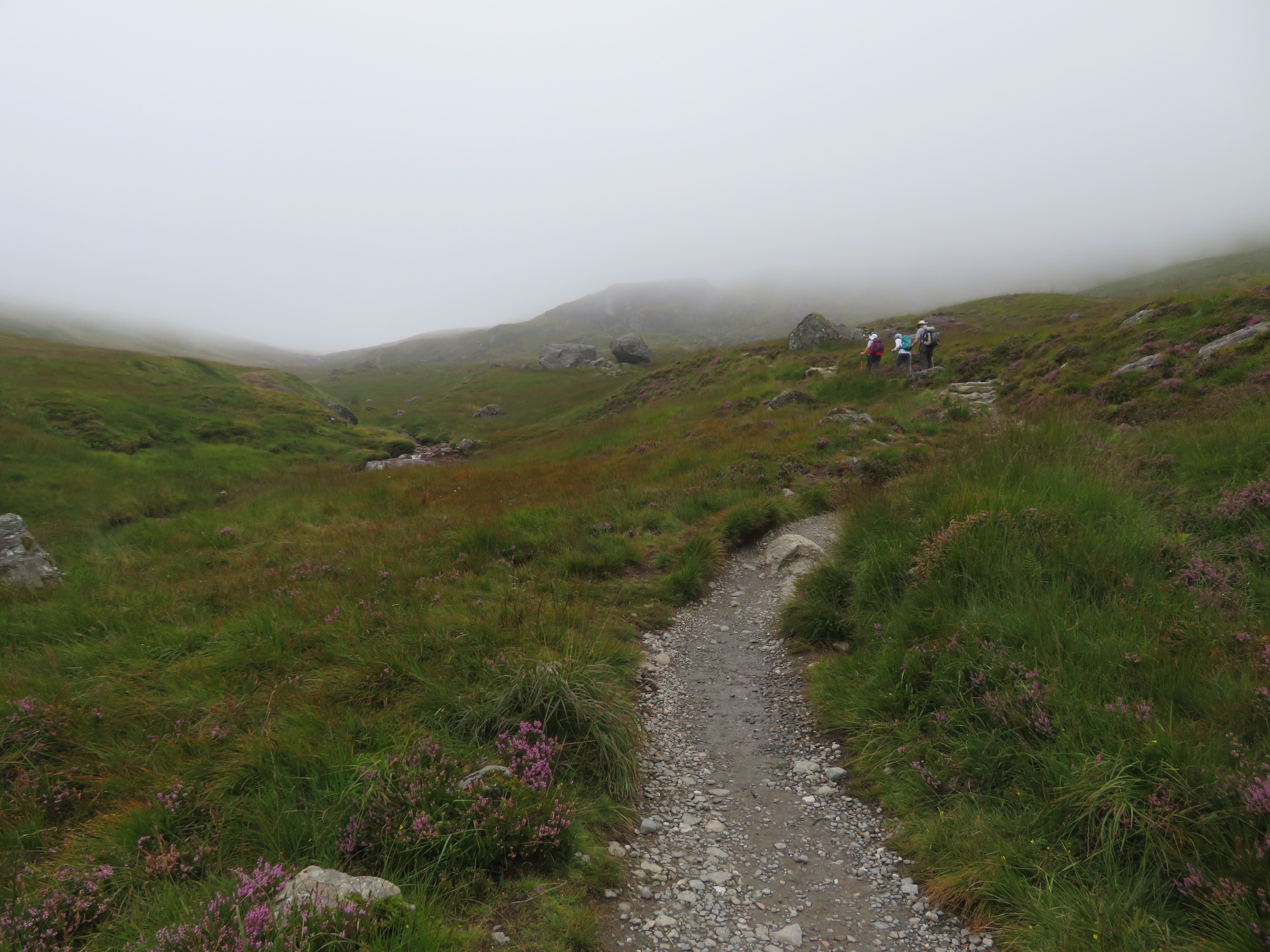
By now we had reached the dried up Lochan Chlaidheimh and decided to stop for a break sat on the rocks just below the start of the path up the north slopes of The Cobbler. The ‘loch’ is now nothing but a large damp patch full of the local fauna.
 Walking below a hidden by fog Yawning Crag
  The west ridge to Beinn Narnain behind Lochan Chlaidheimh
 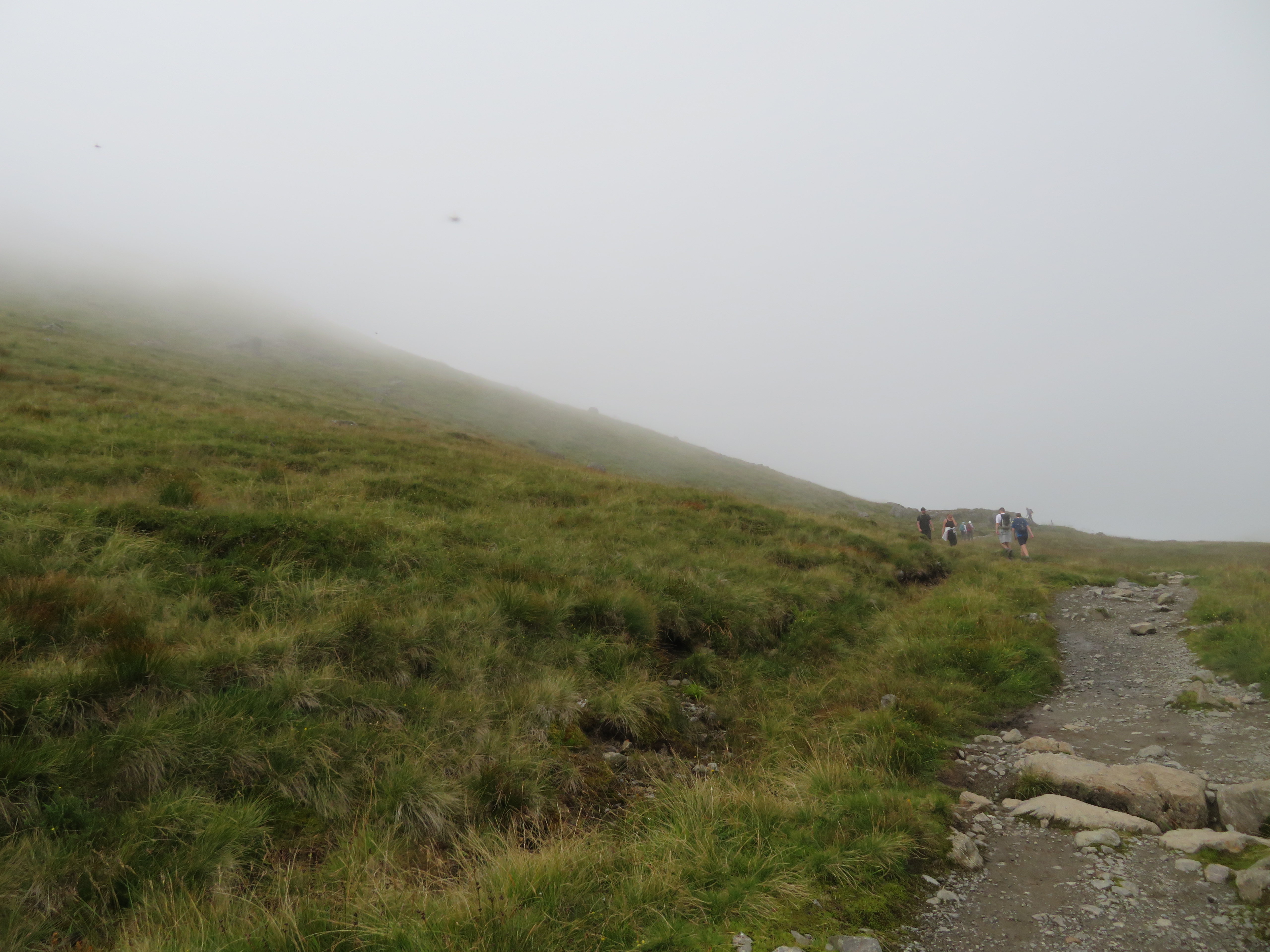 Start of the path up the north ridge to Ben Arthur aka The Cobbler
 We had a good view of the lower slopes of Beinn Narnain with just a hint of Ime to the left.
 Beinn Narnain clothed in cloud
 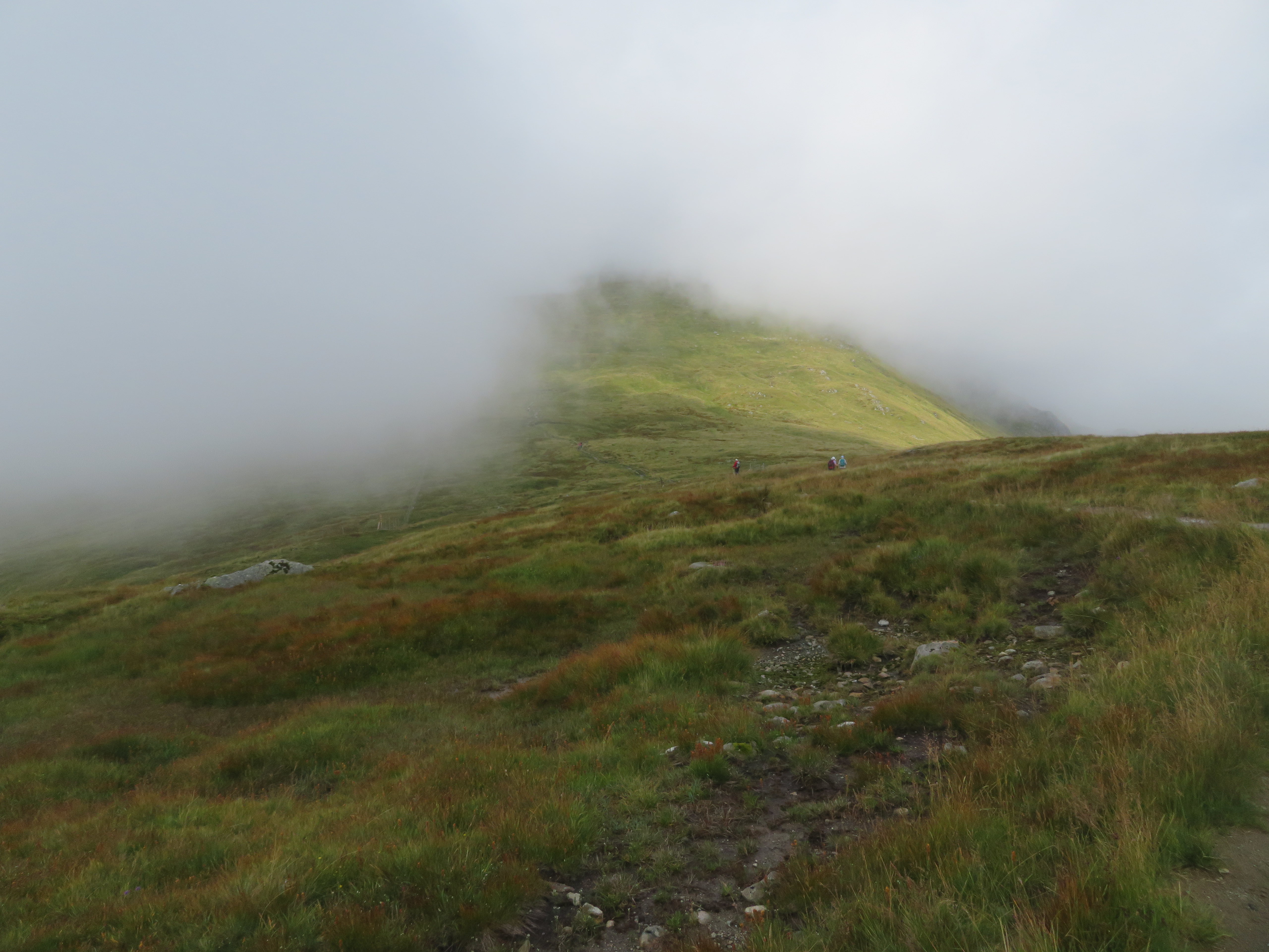 Bright lower slopes of Beinn Ime
  The bright south slopes of Beinn Luibhean
 There was quite a lot of activity around the north path of The Cobbler with many walkers coming down or going up the path. We were talking to a couple of walkers who had just come off Beinn Narnain with one of them calling where we came from as ‘the mini highlands’, you have to laugh at the humour. We set off once again along the well trodden and obvious path that turns ever so quietly to the north as we left the foot of Ben Arthur as it led us towards the gate in the fence and the – as we have read – boggy stretch across Bealach a’ Mhaim to find that it is actually now a well laid and partly paved way through that area.
 Beinn Narnain
 We looked up the steepening slopes of Beinn Ime seeing nothing but a long trudge in fog before us but in truth the slopes weren’t as steep as they appeared to be and decent time was made on the way up.
 Beinn Ime
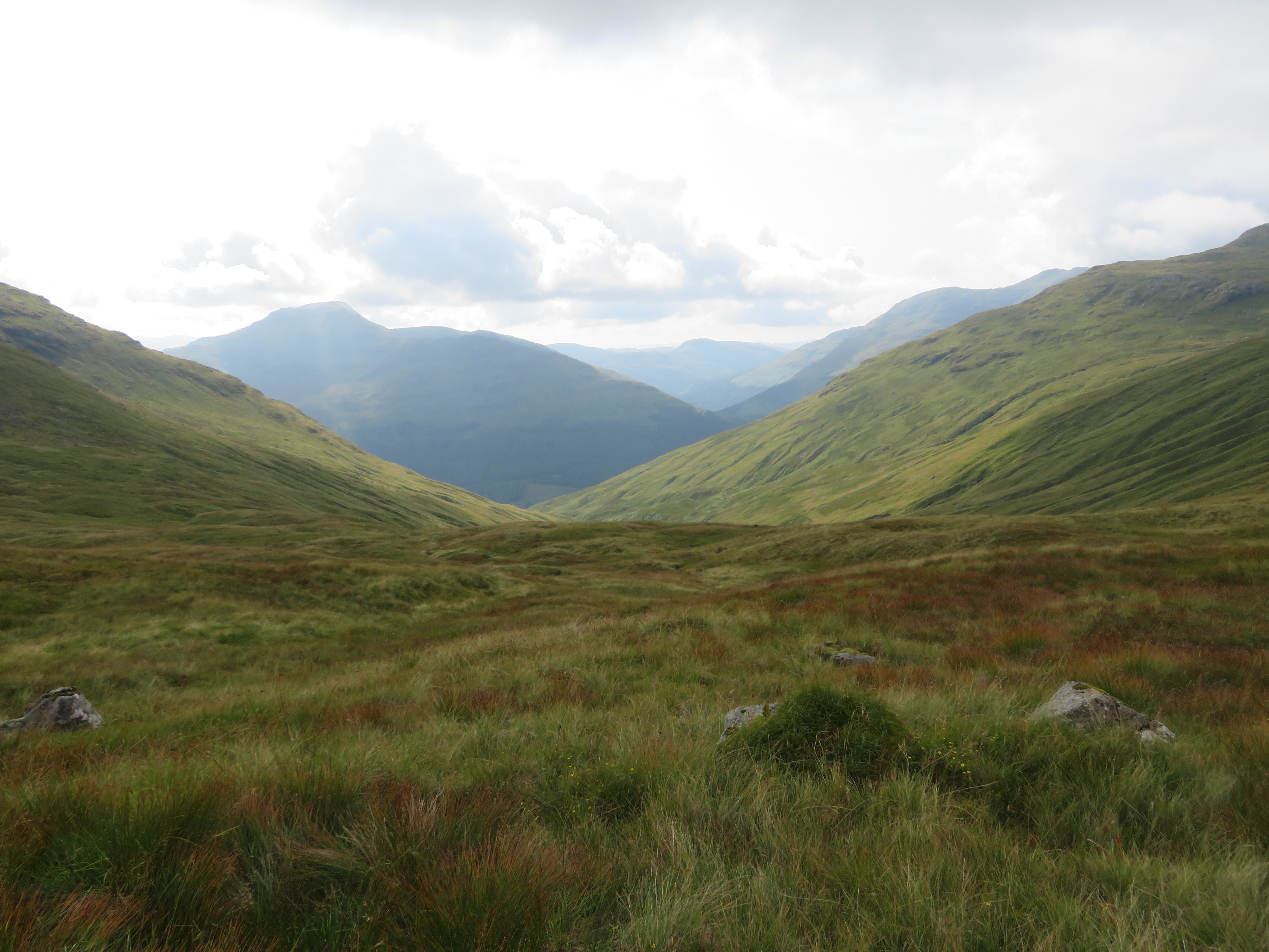
  Crossing Bealach a' Mhaim
 A look back gave us no better views at all.
 A cloud shrouded Cobbler
We stopped for drink at about the 800 metre point watching others toiling up behind us the Dalmatian dog showing more energy and enthusiasm than the rest of the crowd it was with.
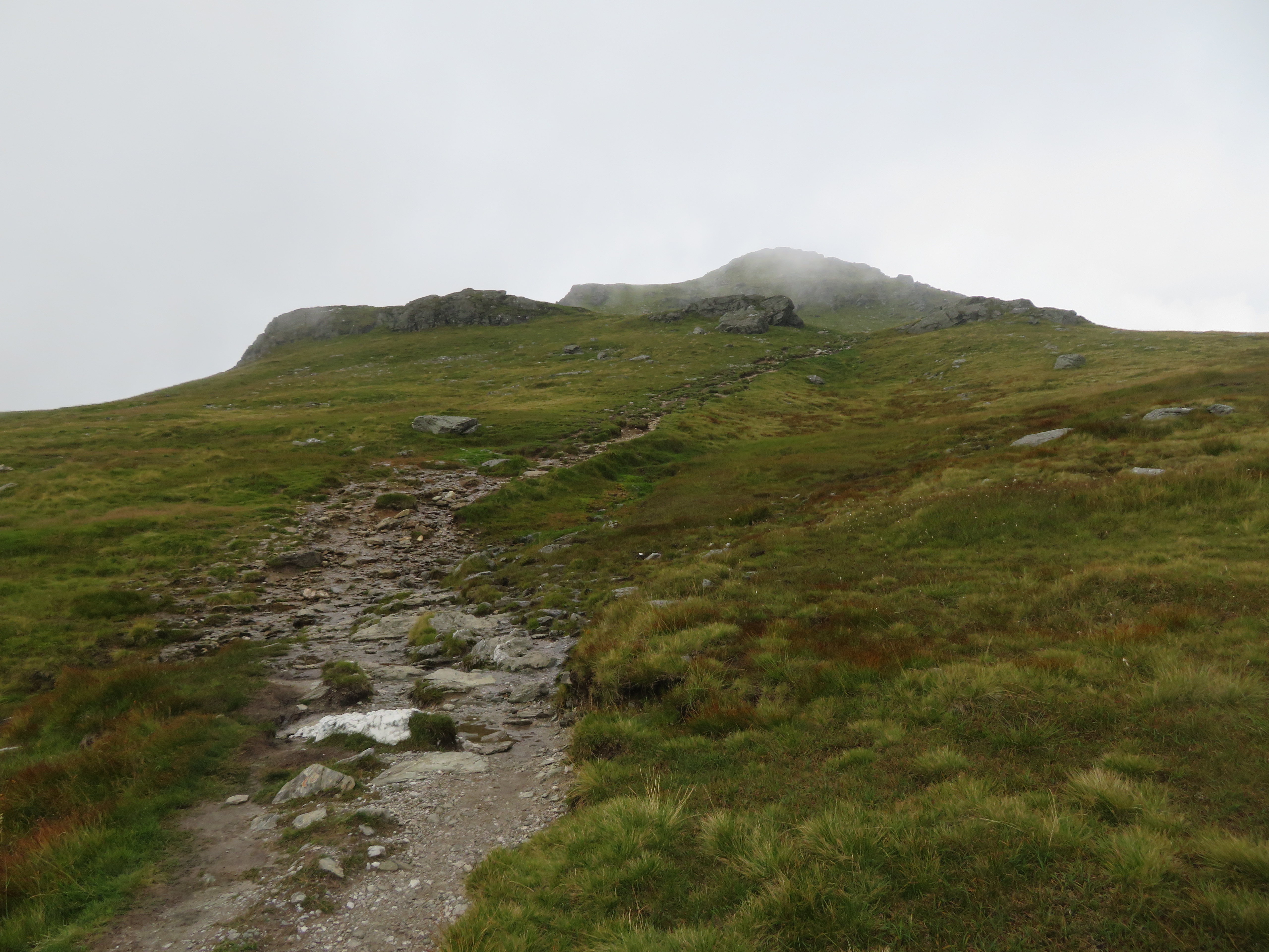
 211 metres to the summit
 It felt strange walking in clag that thick but it still being warm enough to walk without a coat on especially this high up when the fog is usually accompanied with cold damp air. Anyway it’s not far to the summit now.
 The hidden summit of Beinn Ime
We arrived at the final short sharp pull to the summit where the path has a coating of scree on it and we were catching up to a group that was in front of us.
 Getting busy on Beinn Ime
  Looking back to swirling clouds
  The summit in clag
 After the grassy slope on the way up it was a welcome change to see a few crags scattered about as we neared the summit...
 Beinn Ime summit crags
 and then the summit itself adorned with a ring of stones with the tumbledown cairn/trig column in its centre.
 Beinn Ime summit crowd
  A view through cloud towards Beinn Luibhean
 We had a bite to eat and loitered around on the top hoping for some clearance in the cloud but as there was none forthcoming we set off back the way we had come with nothing altered in the way of none views...
 A last look back towards the summit
 until we got down to around the 840 metre point when the clouds began to lift ever so slowly so we sat around for a while hoping that they would indeed lift high enough to allow us to see the surrounding mountains apart from the ones close on to us.
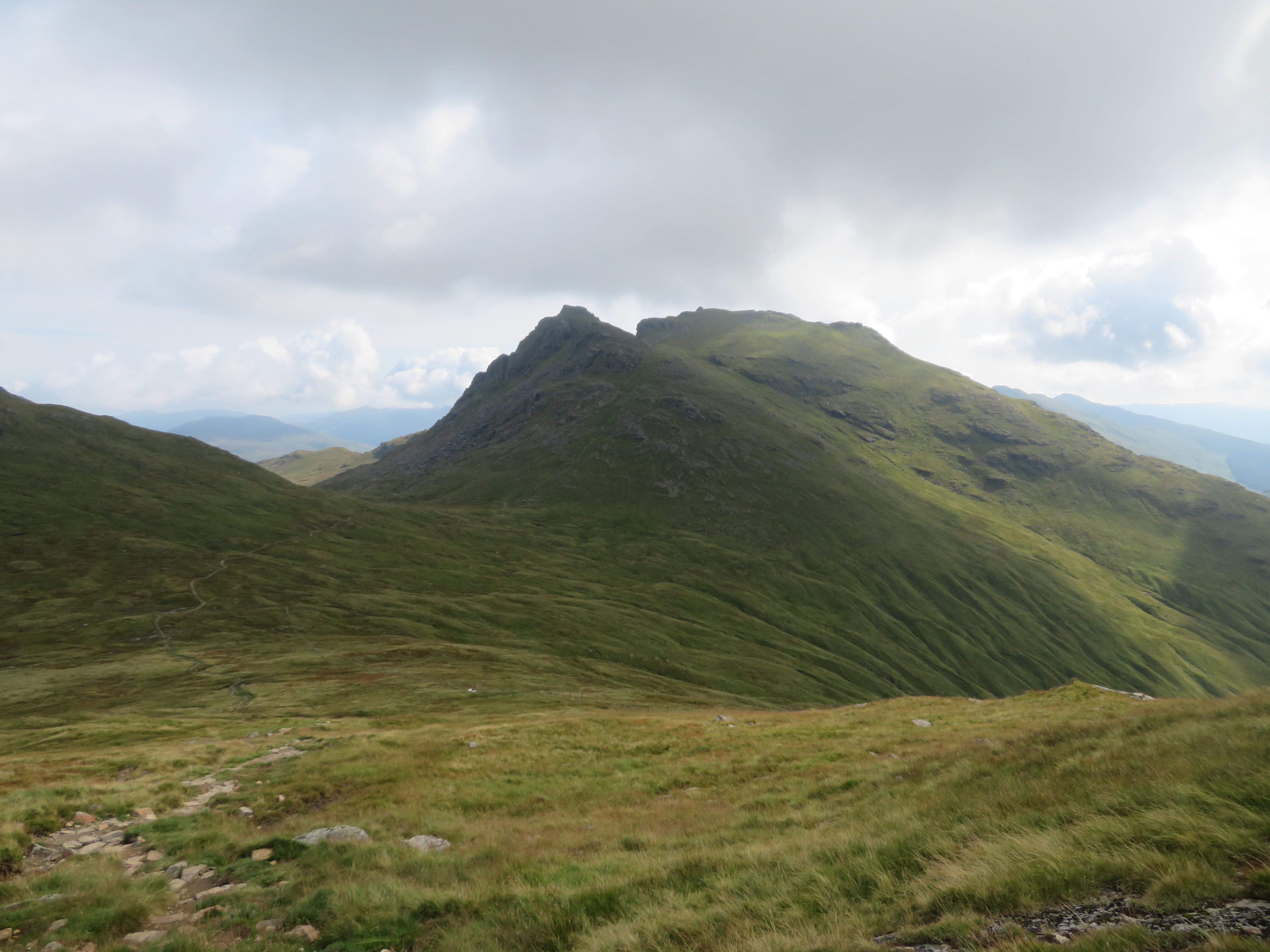
 Beinn Narnain and The Cobbler
 The path is just as easy to get down as it was on the upward journey so not much to say about that or the journey back apart from the views that we missed on our way up were now opening up nicely...
 A view towards Ben Donich and The Brack
 and at last we could see The Cobbler in all its craggy splendour with the crags curling round clockwise to the east and beyond in comparison to its grassy north face.
 The Cobbler
 Next to come into view were Beinn Narnain and the long ridge towards A’ Chrois and well worth a look at on future visits.
 Beinn Narnain and A' Chrois
  Northwest slopes of Beinn Narnain
  North ridge path up The Cobbler
 A look back towards Beinn Ime’s south slope once again gave the impression of a steeper climb than it actually is when in fact it’s just a long steady climb akin to the Ben Lomond one.
 Looking back up Beinn Ime
 Looking over to the west from the gate we could see what I think was Beinn An Lochan?
 Beinn An Lochan
 Slightly south of east was Ben Lomond with a head of cloud sat on it.
 Ben Lomond behind Cruach Tairbeirt
 In front of us was the now visible Ben Reoch and Tullich Hill.
 Ben Reoch and Tullich Hill centre
 We were once again following the burn and I struggled getting a decent shot of The Cobbler due to the brightness of the sky and this was the best that I could get of its south and part east faces.
 The Cobbler
 Just a few minutes later we once again passed the Narnain Boulders and this time we could see them properly their sizes fully justifying why they are marked on the map.
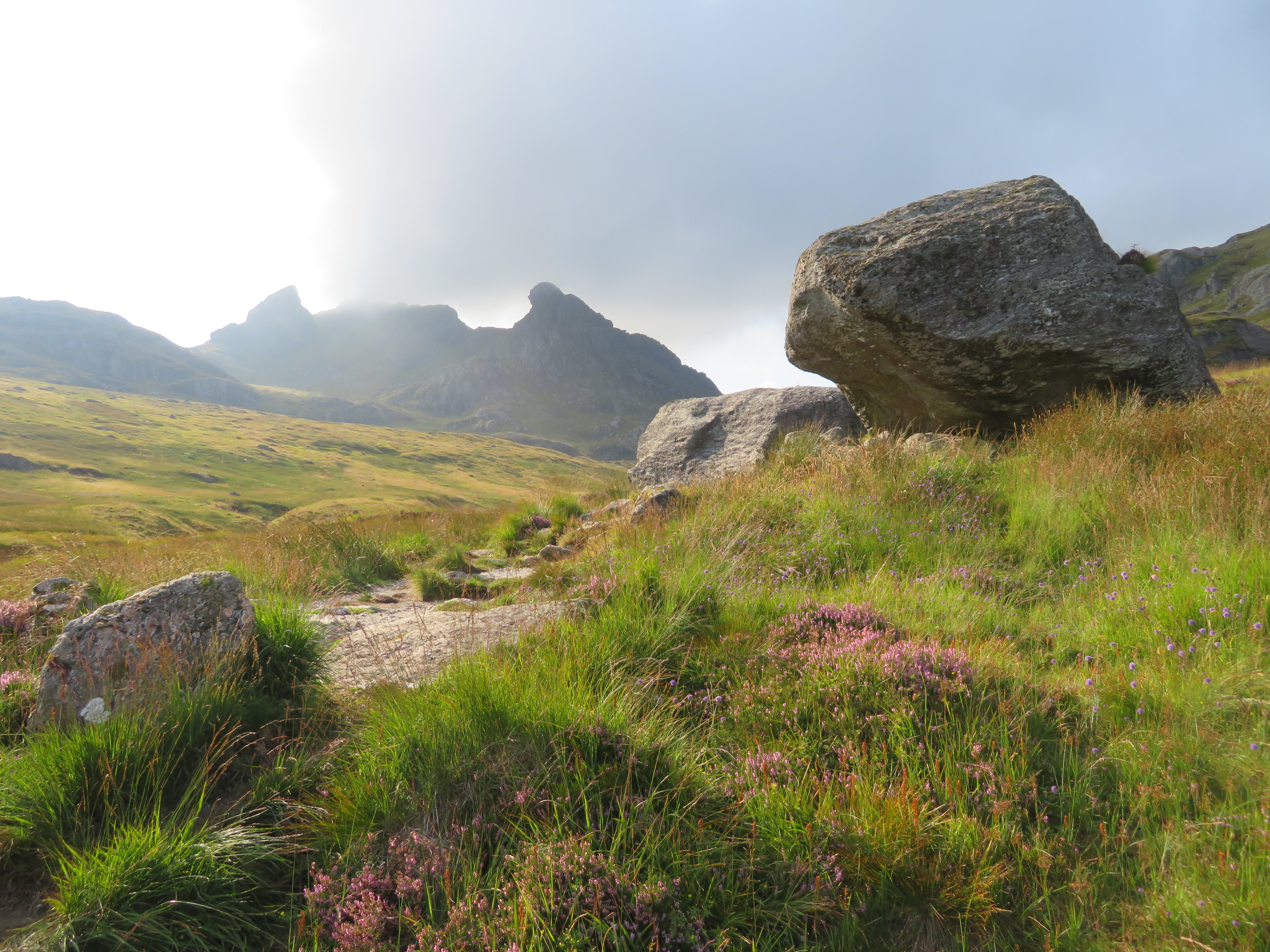 Narnain Boulders
 Apart from a few ravens we saw no wildlife, but that was made up by the abundance of wild flowers with some of the prettiest being the lavender coloured thrift that was thriving all over the mountainside.
 Thrift
  A look back towards The Cobbler
 Ben Lomond was in the distance looking like some brooding volcano with its head of cloud.
 Ben Lomond-Ben Reoch-Tullich Hill
 And a final shot before disappearing once again into the trees of the Argyll Forest Park.
 Ben Reoch and Tullich Hill
 Despite the start in poor visibility lasting until we reached the summit and part way back again this has been another great day out on the hills and we were happy to grab what views we could under the circumstances. At least it was warm in the clag with no reason to don a coat or fleece for warmth and midges were all but nonexistent today with not a blemish on any of us. It – Beinn Ime – and The Cobbler has been busy with plenty of other walkers with the route giving many options for other or extended walks in the area. Unfortunately we only went for the one but the other two adjacent hills were well within reach and would have made a decent round but the upside is that it is a good excuse for returning and getting them done next time around.
