free to be able to rate and comment on reports (as well as access 1:25000 mapping).
Hewitts: Red Screes, Little Hart Crag, Hart Crag, Fairfield, Great Rigg.
Date: 11/09/2021.
Distance: 23km.
Ascent: 1510m.
Time: 6 hours, 40 minutes.
Weather: Warm, overcast but mainly clear, odd spit of rain.
Last year we had a pretty good week staying with Jackie's parents in Langdale - she felt reasonably good and we did a lot. This year she was more cautious and not feeling so great either, so it didn't look like we would manage as much. We were originally going to go up Carrock Fell on the way down from Glasgow, but Jackie suggested something a little closer to Langdale, which would allow me to do a longer walk and finish right at out accommodation. This was a great idea and I wondered why I hadn't thought of it. Red Screes above the Kirkstone Pass was our new objective, allowing Jackie to descend back to the car and drive the last few miles to Langdale, and me to take a meandering route over Fairfield and Loughrigg Terrace to join her later.
As usual we were late starting - not leaving the car until almost 2pm. I had a feeling I would be finishing the walk in the dark! Not that it mattered - we had managed to find a parking space without any bother and the ascent of Red Screes is quite good fun directly from the Kirkstone Pass.
 Looking up Red Screes from the Kirkstone Pass
  Wansfell and Stock Ghyll
 The path is mostly slabbed and stepped as things usually are in the Lakes, but a couple of the steepest sections required an easy move of scrambling. We were passed by many groups on the way up!
 Jackie on one of the steeper bits
  Looking across the eastern corrie of Red Screes
 An hour or so saw us on top. Although it wasn't sunny and the highest Lakeland fells were in the cloud, there were pretty good views. After a short break, Jackie headed back down and I carried on to Middle Dodd. Although I don't really see myself as a collector of Wainwrights, I thought I'd use this opportunity to pick off a few of the ones above the western flank of Dovedale and Kirkstone. A stupid idea really as most of these are the steep ends of ridges rather than significant summits, and all required some amount of out-and back to reach them. They are much better done as a round from Dovedale!
 Crinkle Crags, Bowfell and Great Gable from Red Screes
  Brothers Water and Place Fell
  Dove Crag and Little Hart Crag
 Middle Dodd was a nice little summit though, and with little retracing of steps required. I traversed downwards to Scandale Pass on a faint path then rather pointlessly didn't pick up the main path north from here. Instead I ended up contouring around the head of Caiston Glen rather pointlessly, passing a bunch of people doing a charity walk at one point. Soon I was able to get onto the ridge and out to High Hartsop Dodd. This wasn't overly exciting but is probably a nice place to stop if you have just climbed up the nose out of Dovedale. An easy retrace of steps, then onward to Little Hart Crag, a pleasant rocky pimple.
 Middle Dodd
  Brothers Water from Middle Dodd
 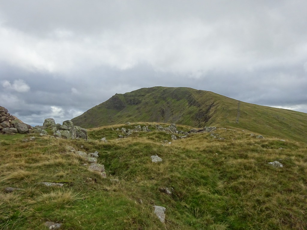 Back to Red Screes
  Dove Crag and Hart Crag
  Brothers Water from High Hartsop Dodd
  Dove Crag and Hart Crag from High Hartsop Dodd
  Little Hart Crag
 Rather than a complete up/down/out/back to reach Hartsop above How, I decided to take the unconventional route - traversing beneath the foot of Dove Crag. I started off on the obvious path, but where it began to climb after Bakestones Moss, it was time to leave and descend a bit. Although there were some steep sections this was on lovely short turf to begin with, getting a bit more heathery as I approached the foot of Dove Crag. It is pretty imposing from below!
 Hartsop above How
  Below Dove Crag
 I had to back off and drop a little further to avoid getting caught between the outcrops in the lower reaches of the crag, with some loose bits to cross over as well. Although I was in sight of the path coming up Dovedale, this little area felt rarely visited. I wondered if there was any climbing on it - it looked rather dank and overhanging.
 Dove Crag
  Dove Crag from near Priest’s Hole
 I was soon crossing the path up Dovedale and onto an easier traverse out to Hartsop above How. I passed more charity groups - surely they couldn't all be on the same walk? If so, then some of them were lost! The ridge out to Hartsop above How was nice when I reached it - it definitely looked like a fine way up from Bridgend.
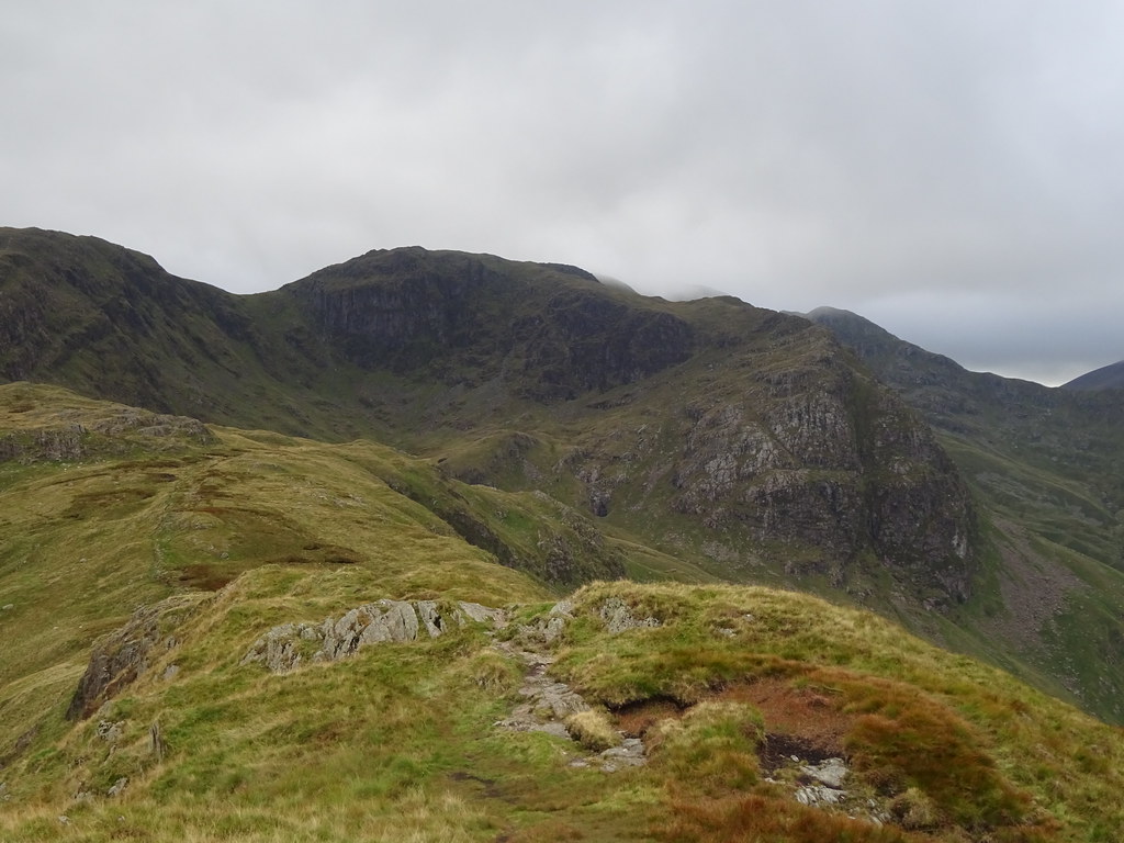
 Hart Crag and Scrubby Crag
  Place Fell from Hartsop above How
 Time to turn around and actually make some headway towards Langdale. I retraced some steps and climbed up onto the higher summits at Hart Crag - a nice rocky ascent. Helvellyn and the hills further north were in the clag but Fairfield was just below it. Once on the main path along the tops, there were a lot of people around. Looked like the charity walk went over the summit of Fairfield, and it was quite busy for being so late in the day. I didn't hang around up here as it was a little blowy at times and not the warmest, and eventually I was on my way down to Great Rigg.
 Scrubby Crag and Greenhow End
 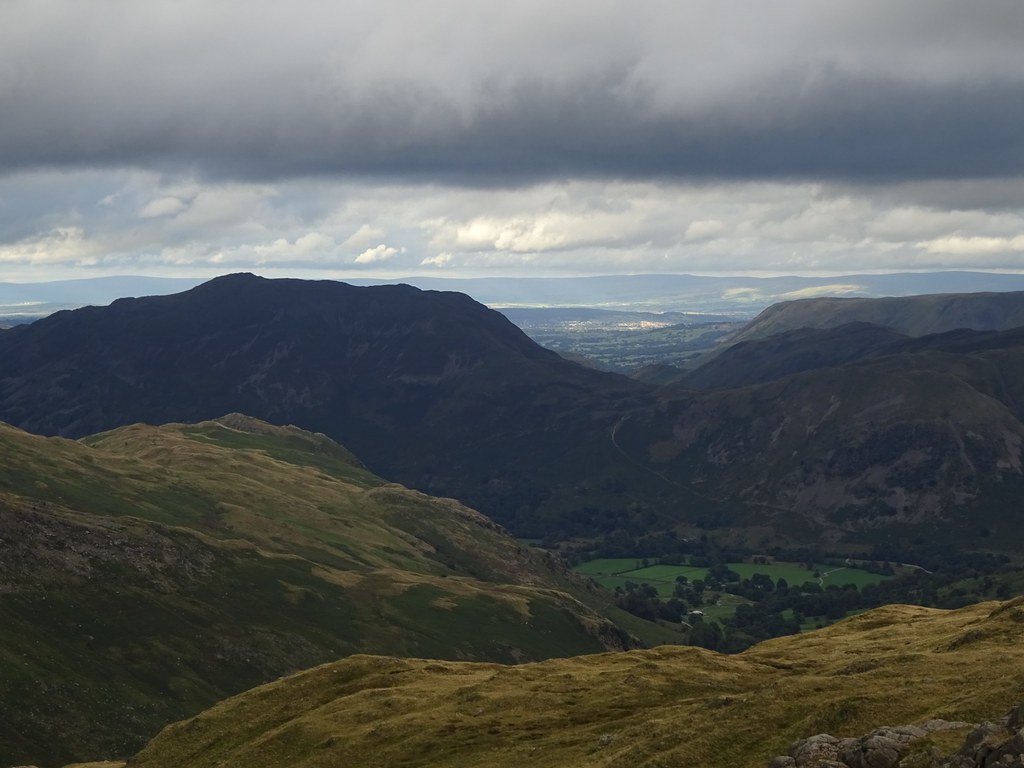 Sunshine on Penrith and the Pennines beyond
  Hartsop above How from Dove Crag
  Windermere
  Zoom to Windermere
  Approaching the summit of Fairfield
  St Sunday Crag and Deepdale
 The logical way from here would have been to continue around the Fairfield Horsheshoe but I had spotted Stone Arthur on the map - another Wainwright. Might as well include that too! A guy marshalling for the charity walk on Great Rigg told me that there were 3 separate routes - this explained why people seemed to be walking in all directions.
 Across Grasmere Common
  Grasmere, Coniston Water and the Coniston Fells
 Stone Arthur was barely a summit - just another ridge end, but it had pleasant views over Grasmere. At this point I could see through a gap in the hills beyond Dunmail Raise all the way to Galloway where there was a bit of a sunset.
 Grasmere from Stone Arthur
  NW through Dunmail Raise
  Easdale and Helm Crag
 Dropping south from Stone Arthur, I diverted away from the path and through steep bracken-covered slopes to cross Greenhead Gill. On the other side of this I was able to pick up a sheep path that led me nicely to Alcock Tarn, saving a little bit of ascent. A secluded spot that I don't think I'd even been aware of until last year.
 Alcock Tarn
  Helm Crag from near Alcock Tarn
 The light was beginning to go on the descent from the tarn. Avoiding Town End, I weaved about on footpaths until I popped out on the main road at the White Moss carpark. It was easy to cross the River Rothay here and pick up the path up to Loughrigg Terrace - my final hurdle to getting to Langdale.
 Sun setting to the NW
  Grasmere from the Loughrigg Terrace
 I followed paths along the edge of fields to cross over the ridge by the Hammerscar Plantation and dropped down towards Elterwater. My destination was a couple of minutes around the corner. It was almost dark by the time I got in and Jackie's parents had already arrived (we had been wondering who would get there first). A great afternoon out to wander across some hills I haven't been up in a while.
