free to be able to rate and comment on reports (as well as access 1:25000 mapping).
I'll start with a warning: if you're looking for fine scenery and natural beauty, don't read this report.
Much of my hill walking on my trips to Scotland has been in the southern Highlands - it's more feasible within the constraints of driving up from the English midlands. Over the years, from summits across Perthshire and the Loch Lomond area, a lone peak on the western horizon would catch my eye.
So I decided that my holiday in Arrochar would be an opportunity to visit Beinn Bhuidhe. But without a bike, and with the shorter days of autumn, the WH recommended route via Glen Fyne looked too long for my deteriorating right knee (it's the left one that's titanium).
However, a vital incentive to follow the WH route had disappeared. I could see from the map and recent TRs that the Merk hydro scheme has robbed the WH route of its star attraction: the beautiful waterfalls of the Allt Faing.
The streams flowing south from the upper part of Beinn Bhuidhe are now diverted into a kind of canal by the famously ugly hydro track, and the water flows into the reservoir at 217168. I am all in favour of clean energy, although in this case it does seem to have made quite a mess: hopefully it will soften in time.
When I looked at these changes on the map, I noticed a gradually rising track from the quarry, via the Merk Park forest, to the reservoir. WH mentions another hydro track, starting near the bridge at 215149. But my route was shorter, and would give a steady ascent at an easy gradient. Perfect for my knee.
In light of this, and with a poor weather forecast for my whole week in Arrochar, I decided to embrace the industrialisation of Beinn Bhuidhe and use this shorter route. I would take a look at the power station and quarry at the mountain's foot and the hydro works on its flank. It would be wet, grey and ugly. It would be something different.
This walk started from the same car park as the WH route, but rather than turning right for the Fyne Ales brewery, I went straight ahead, past a new children's play centre (note for parents: it looks really good) and headed along a minor road towards the power station.
A roll of barbed wire, framing the power station entrance, was an early taste of the flavour of this route.
 IMG_2005
 by
Half Man Half Titanium, on Flickr
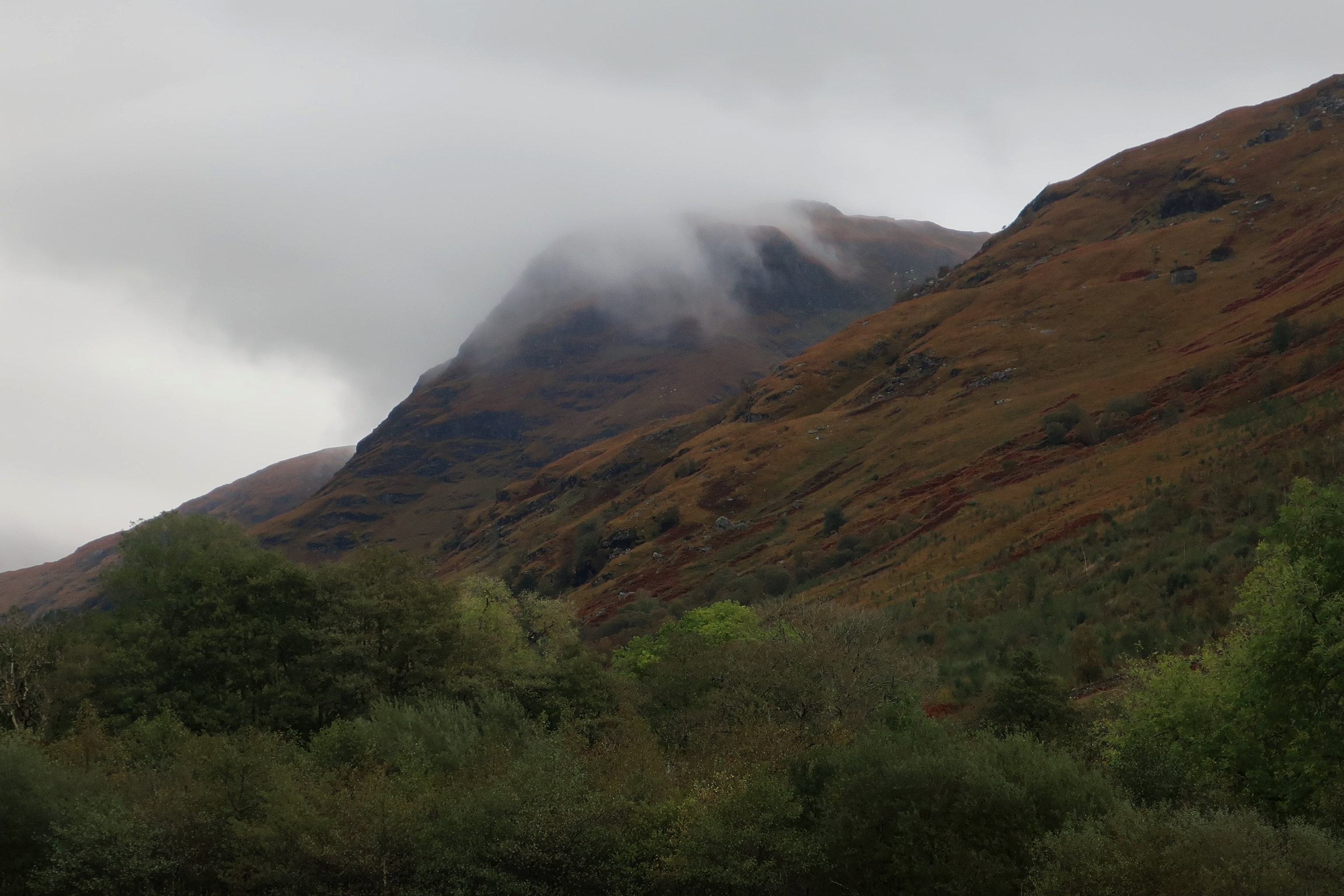
The road, and the view of Cruach Tuirc from it.
 IMG_2016
 by
Half Man Half Titanium, on Flickr
 IMG_1858
 by
Half Man Half Titanium, on Flickr
On the other side of the road was another sign of man's exploitation of nature in this area: a sawmill.
 IMG_2015
 by
Half Man Half Titanium, on Flickr
In the Gulag
 IMG_2009
 by
Half Man Half Titanium, on Flickr
Soviet poster, circa 1957
 IMG_2000
 by
Half Man Half Titanium, on Flickr
And this looked suitable as a set for a war film - probably one featuring Nazis doing something evil with heavy water.
 IMG_1998
 by
Half Man Half Titanium, on Flickr
A touch of Modernist architecture.
 IMG_2001
 by
Half Man Half Titanium, on Flickr
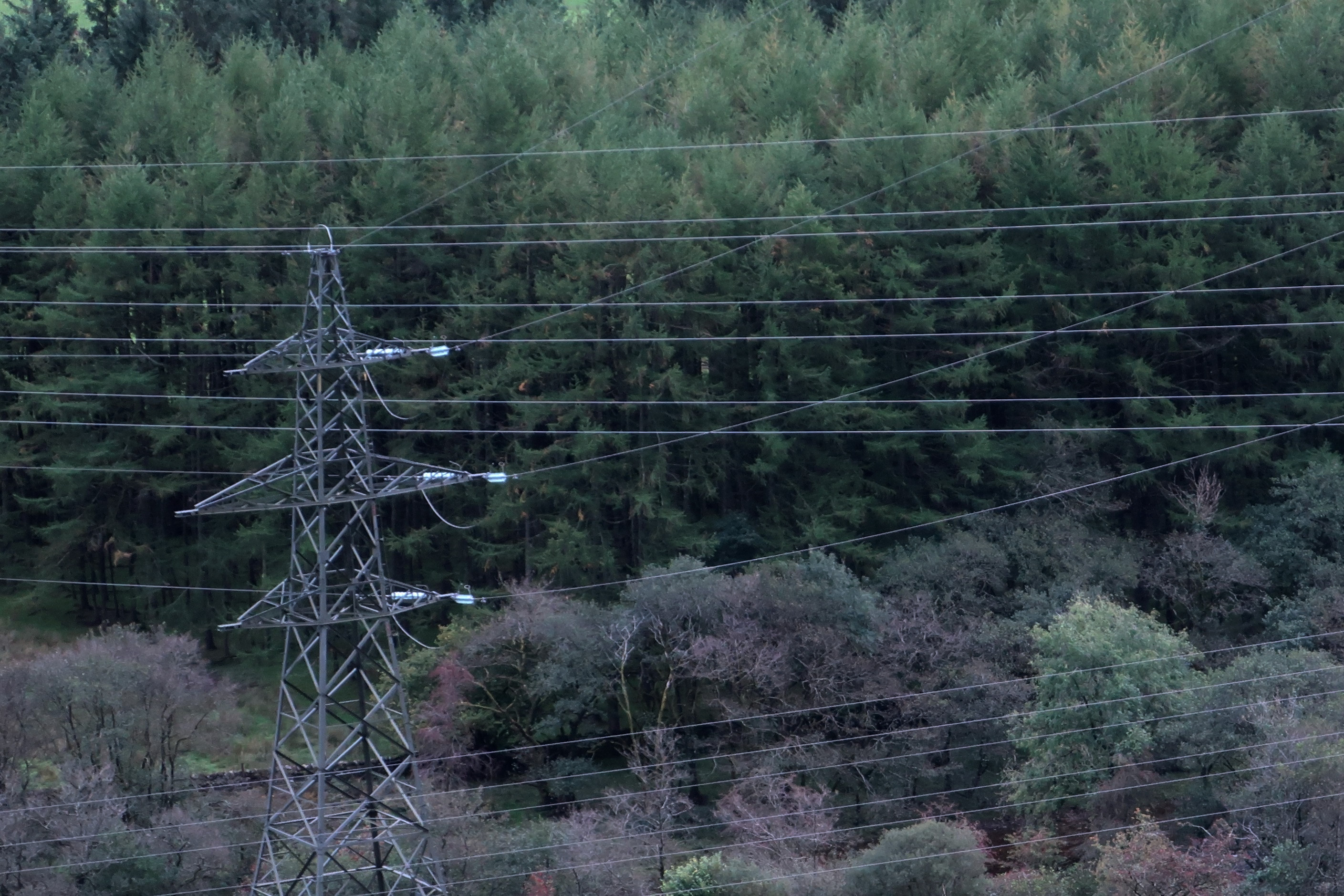
This slice of the hillside above the power station was the only bit of mountain not obscured by power lines.
 IMG_1993 (1)
 by
Half Man Half Titanium, on Flickr
At the power station, there's a sharp turn to the right, over a concrete canal. But after a short distance, there was a nice glimpse of the river Fyne.
 IMG_1991 (1)
 by
Half Man Half Titanium, on Flickr
Then I entered the quarry. There are helpful signs throughout, directing walkers on the correct route so they won't have a horrible accident.
The unmapped hills of Glen Fyne.
 IMG_1974
 by
Half Man Half Titanium, on Flickr
Lots of mysterious machines.
 IMG_1970
 by
Half Man Half Titanium, on Flickr
 IMG_1988
 by
Half Man Half Titanium, on Flickr
 IMG_1965
 by
Half Man Half Titanium, on Flickr
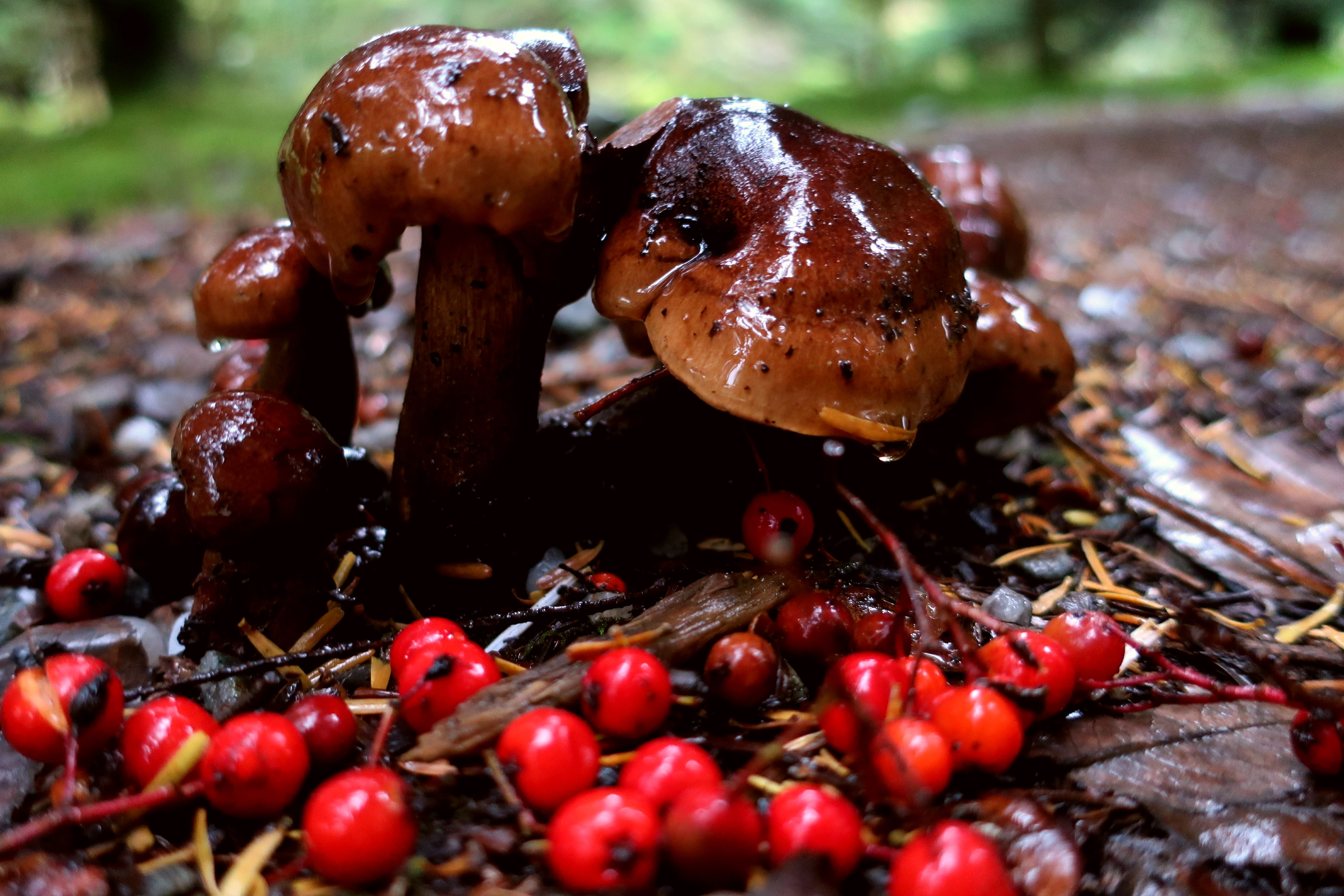
Things in puddles.
 IMG_1863
 by
Half Man Half Titanium, on Flickr
 IMG_1989
 by
Half Man Half Titanium, on Flickr
A dirt road, pylons and a distant moving vehicle. I was reminded of the final scene of the film Seven.
 IMG_1975
 by
Half Man Half Titanium, on Flickr
Nature fights back with a bit of weathering.
 IMG_1979
 by
Half Man Half Titanium, on Flickr
 IMG_1969
 by
Half Man Half Titanium, on Flickr
Tyre tracks adding their own patterns to the scene.
 IMG_1955
 by
Half Man Half Titanium, on Flickr
 IMG_1973
 by
Half Man Half Titanium, on Flickr
The awesome power of the Highlands.
 IMG_1953
 by
Half Man Half Titanium, on Flickr
 IMG_1937
 by
Half Man Half Titanium, on Flickr
Residents are unimpressed.
 IMG_1944
 by
Half Man Half Titanium, on Flickr
 IMG_1948 (1)
 by
Half Man Half Titanium, on Flickr
It was nice to reach this surprisingly quaint sign and the shelter of the woods, partly to get out of the quarry, but mostly because it was pouring down.
 IMG_1935
 by
Half Man Half Titanium, on Flickr
For a plantation, the Merk Park forest was actually rather nice.
 IMG_1930
 by
Half Man Half Titanium, on Flickr
 IMG_1934
 by
Half Man Half Titanium, on Flickr
 IMG_2100 (1)
 by
Half Man Half Titanium, on Flickr
 IMG_2123 (1)
 by
Half Man Half Titanium, on Flickr
A spooky bit.
 IMG_1931
 by
Half Man Half Titanium, on Flickr
I trudged on and emerged from the forest to see a nice view back to Loch Fyne.
 IMG_1920 (1)
 by
Half Man Half Titanium, on Flickr
Enough blue to patch a sailor's trousers?
 IMG_1919
 by
Half Man Half Titanium, on Flickr
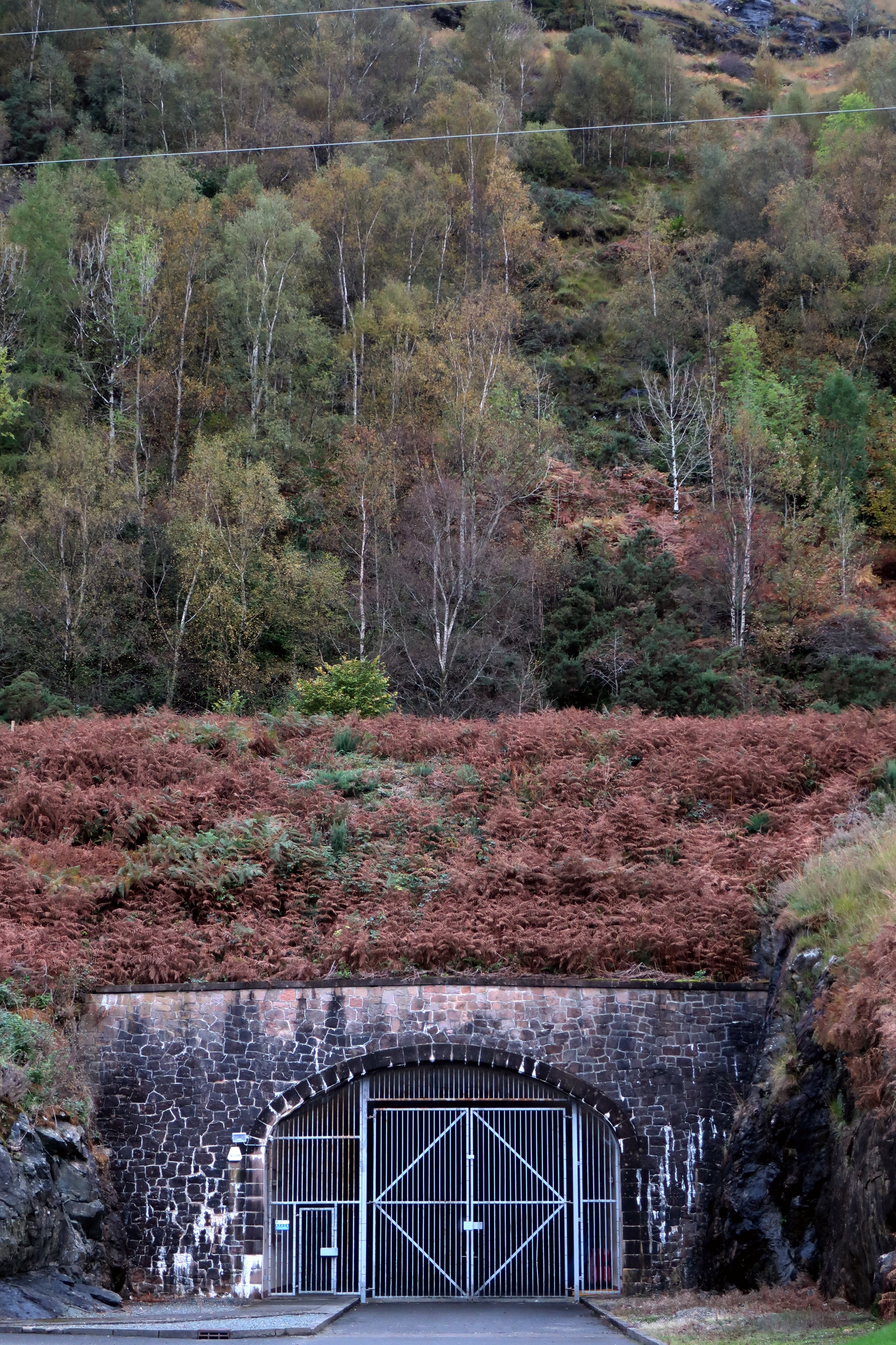
The next landmark was the hydro scheme reservoir.
 IMG_1915
 by
Half Man Half Titanium, on Flickr
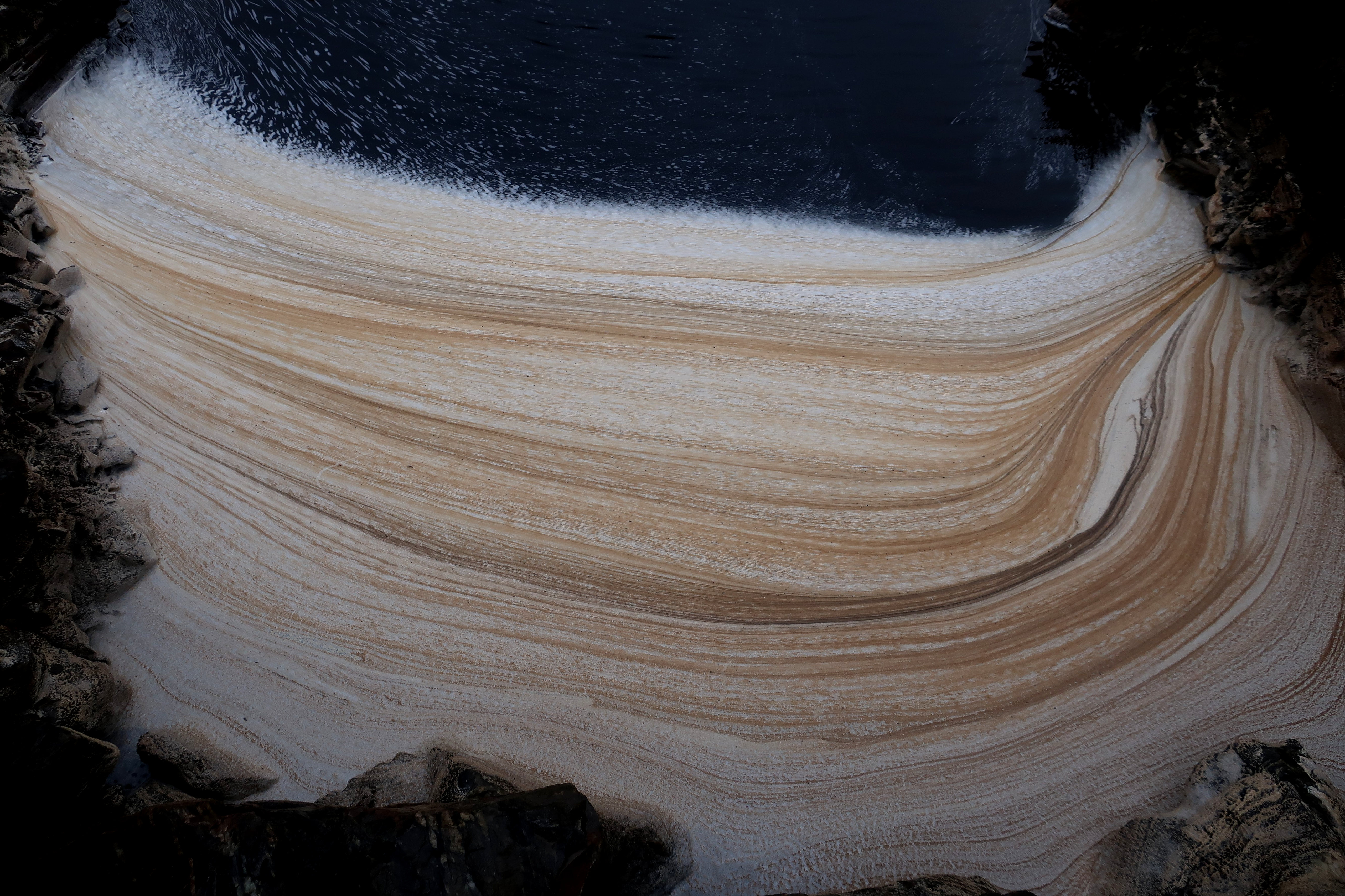
The reservoir is in two parts - only the south-western part is shown on the map. The other part is new, with an earth dam and a fancy new pond liner.
 IMG_1906
 by
Half Man Half Titanium, on Flickr
 IMG_1914
 by
Half Man Half Titanium, on Flickr
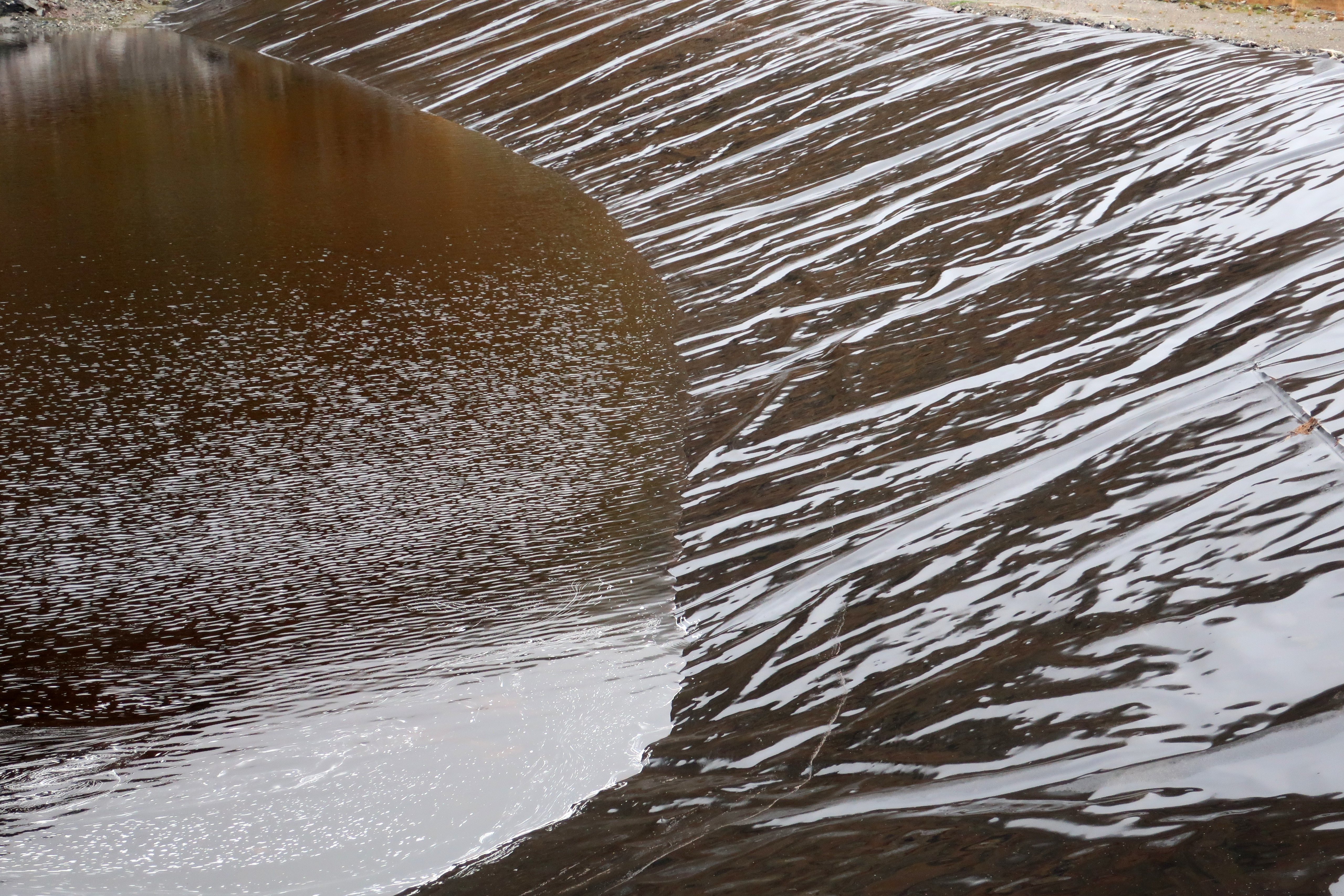
Guinness?...
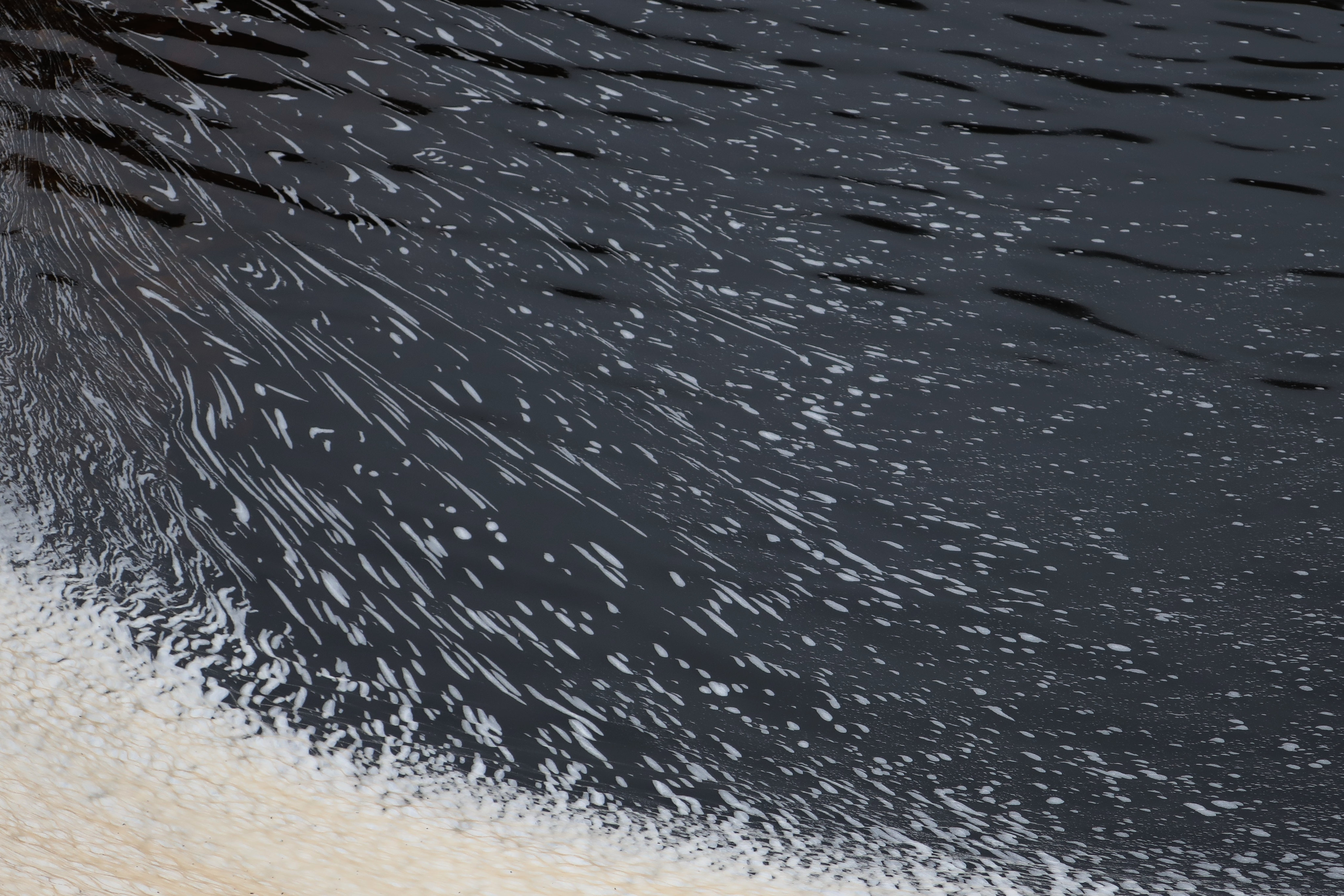 IMG_1910
 by
Half Man Half Titanium, on Flickr
...or as Philip Larkin said "floatings of industrial froth"?
 IMG_1909
 by
Half Man Half Titanium, on Flickr
This rock was sliced right through by the diggers. I should have put something in it for scale - it was several yards square.
 IMG_1901
 by
Half Man Half Titanium, on Flickr
The track passes between the two parts of the reservoir, then goes downhill (don't blithely follow the upper track - it leads to a dead end). Then it levels off and goes around a corner, before starting to ascend. Finally it levels off and contours around the head of the Allt Faing ravine, with the channel of water running alongside it.
The track gave a good view of upper Glen Fyne.
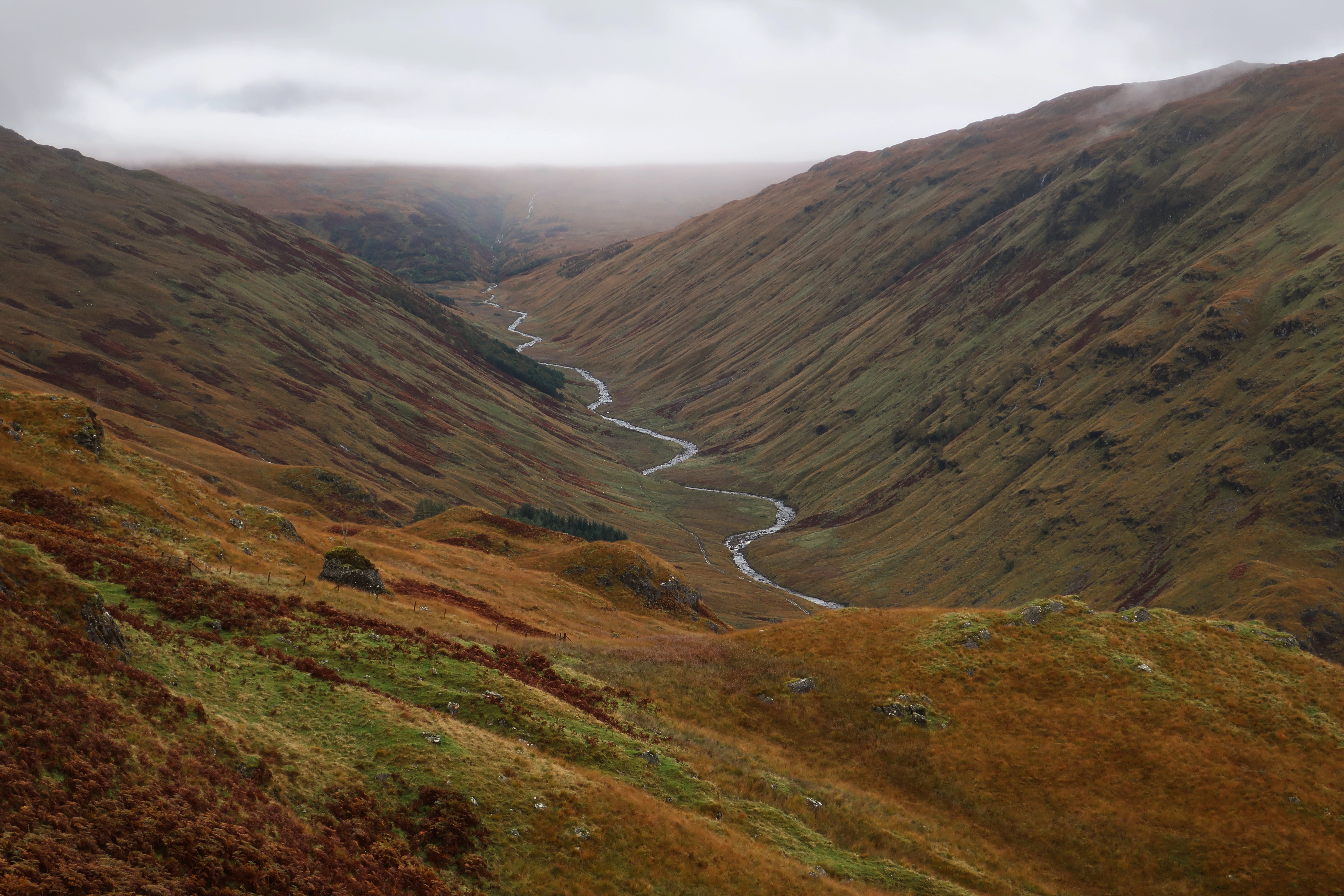 IMG_1899 (1)
 by
Half Man Half Titanium, on Flickr
But it was not all Arcadia from here on. There were still plenty of reminders of man's noble ambition to put the hills to work and make some money.
 IMG_1894
 by
Half Man Half Titanium, on Flickr
 IMG_1895
 by
Half Man Half Titanium, on Flickr
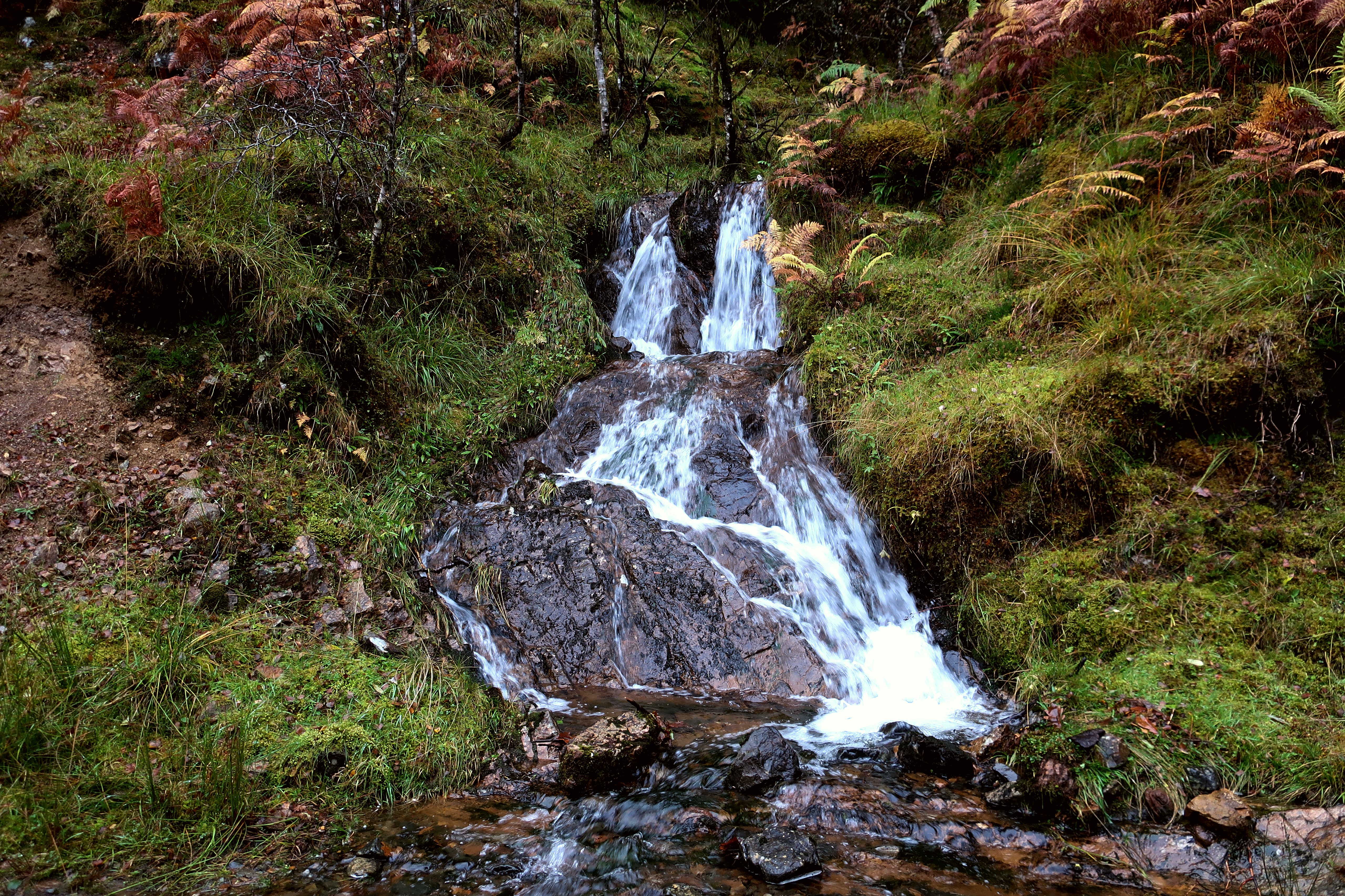
This water is cascading down from one man-made channel to another. In pre-hydro days it would have graced the Allt Faing gorge.
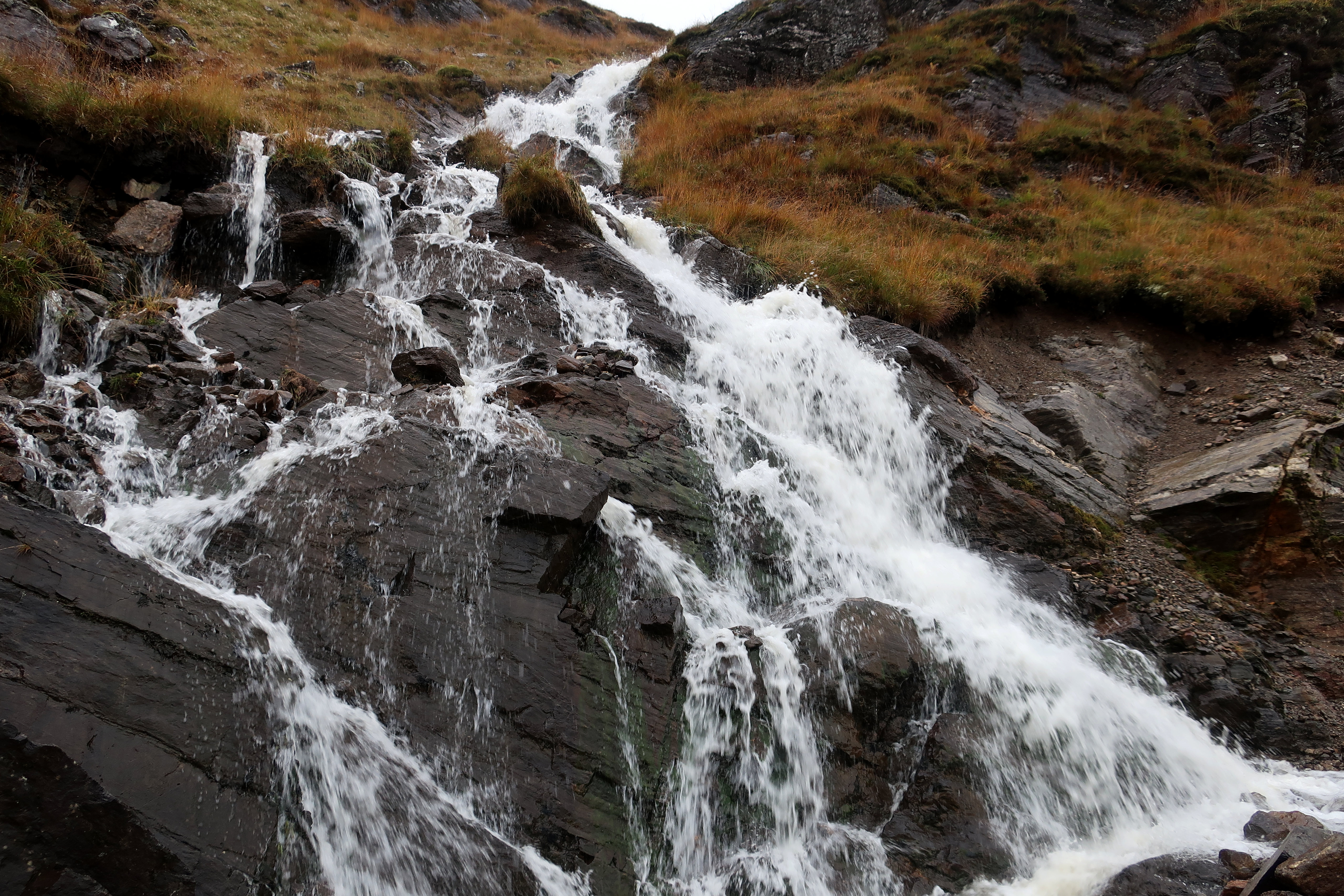 IMG_1887
 by
Half Man Half Titanium, on Flickr
Another scene that looks natural but isn't - this view is framed by a deep cutting. This was the last view I had before entering the mist.
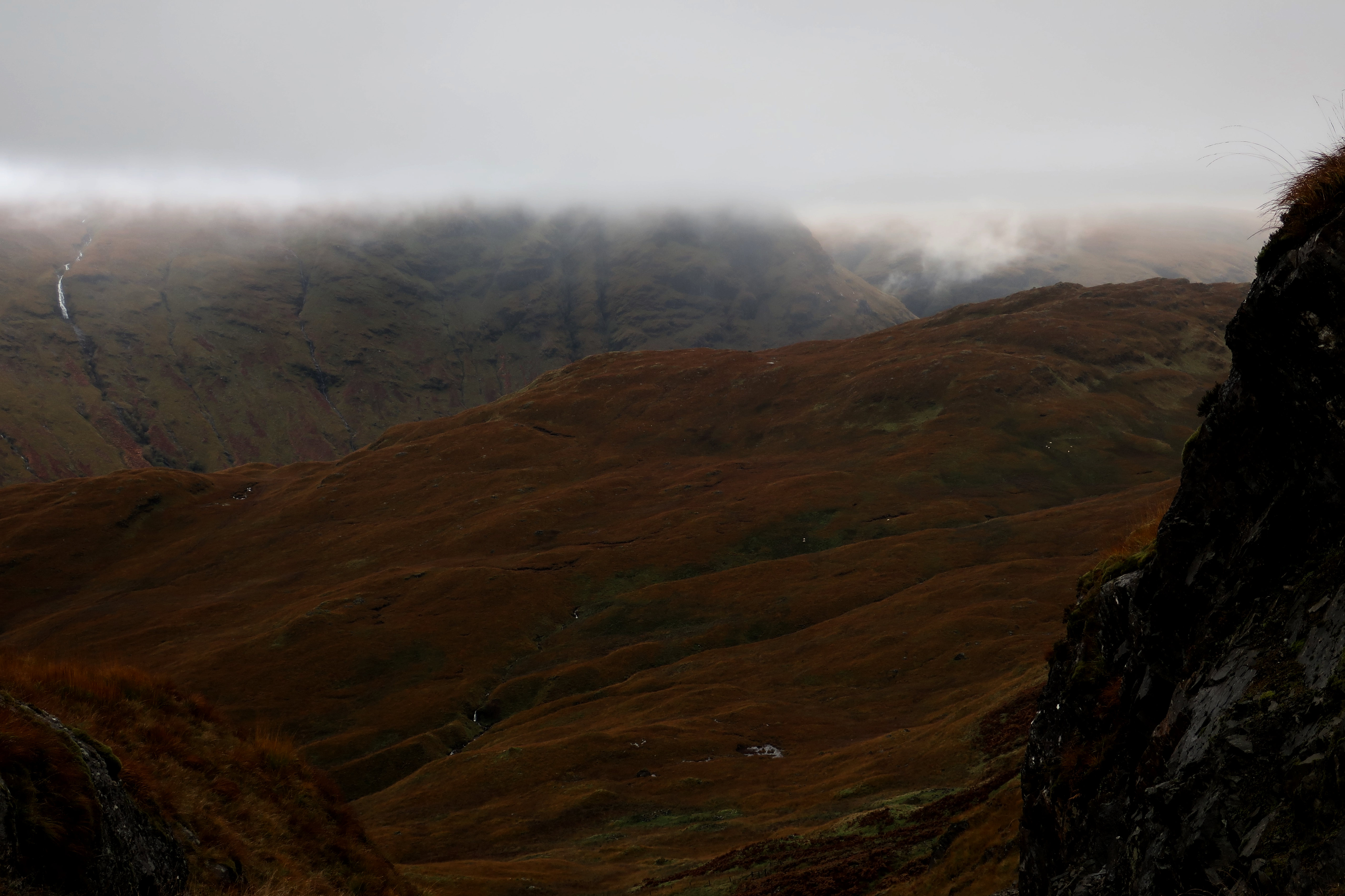 IMG_1883
 by
Half Man Half Titanium, on Flickr
The point at which the path on the upper part of Beinn Bhuidhe leaves the track is obvious, and marked by a cairn. In mist it is a bleak and featureless spot, with the scar of the track disappearing into the murk ahead and behind. It was somehow much more desolate than just a normal patch of hillside in the clag. I felt like the last person on earth. As I left the track behind and started along the path, I was reminded of some lyrics by David Gray.
"Leaving this ghost of a road
Climbing hand over hand
Towards that pinprick of light
This land belongs to the gulls
And the gulls to their cry
And their cry to the wind
And the wind to no-one."
The path climbs gradually before levelling off on an odd little undulating plateau. Although views would have been nice, it was quite intriguing to explore this in the mist. It was a bit like Grimpen Mire in the Hound of the Baskervilles. The path is easy to follow, except in one small boggy area - just keep going straight ahead, and you'll pick it up again.
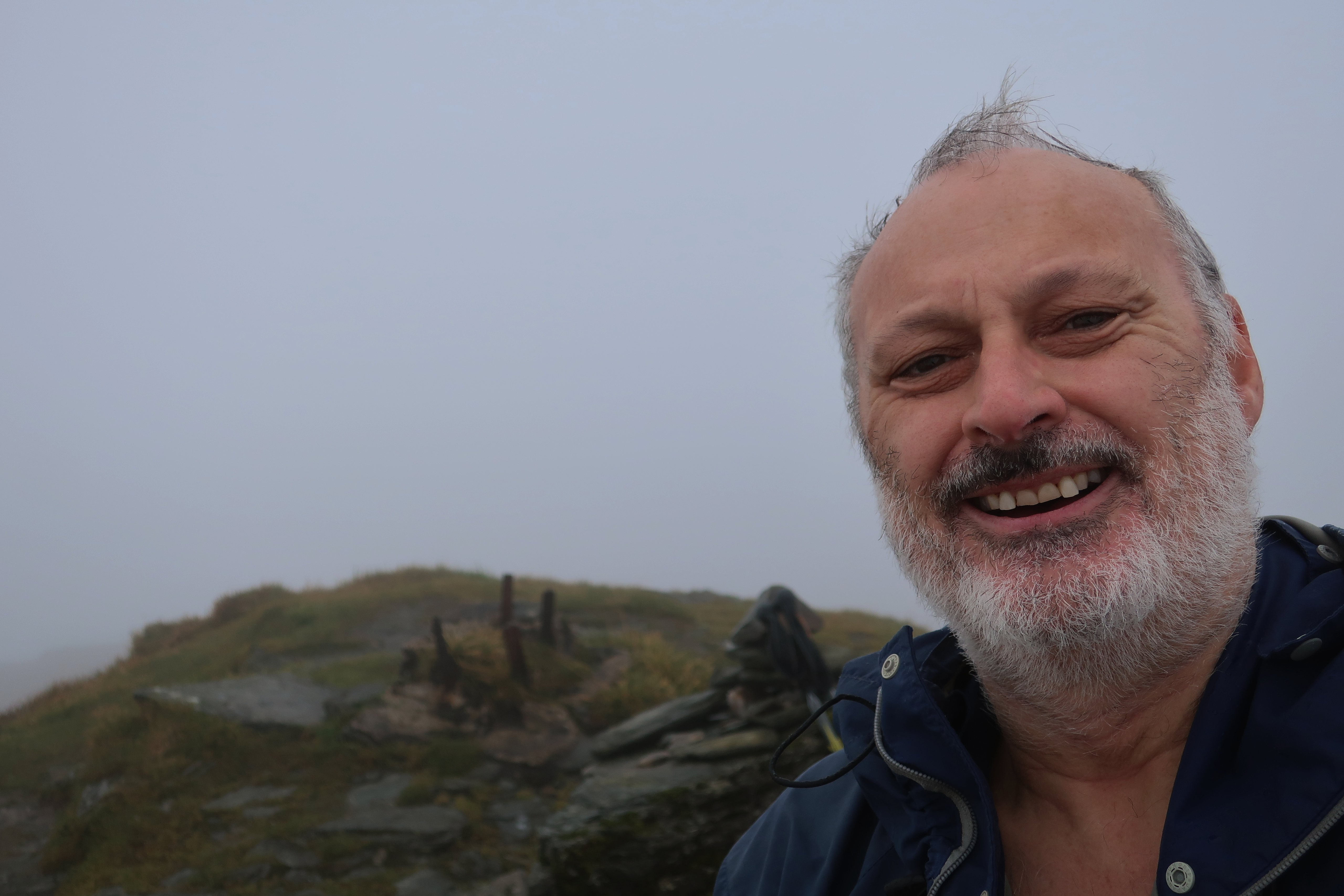
Sooner than I expected, a steep slope loomed above me. The path, now quite eroded in places, found a way up it fairly easily. Before long I stood by a small cairn on a dip in the summit ridge.
From here, a very pleasant path led along the southern edge of the ridge, with one little zig-zag, past a small pond just below the summit. Even in the rain, this was an enjoyable and interesting section of the route. If there had been views, it would have been marvellous.
The trig was gone, leaving four rusting iron spikes jutting out of an overgrown concrete base. It felt just right for this route.
 IMG_1869 (1)
 by
Half Man Half Titanium, on Flickr
Another dystopian image, showing the effects of 58 years of weathering.
 IMG_1874 (1)
 by
Half Man Half Titanium, on Flickr
Later on: humanity and nature in harmony - Inveraray seems to float on Loch Fyne, and the fabulous Benmore Botanic Gardens.
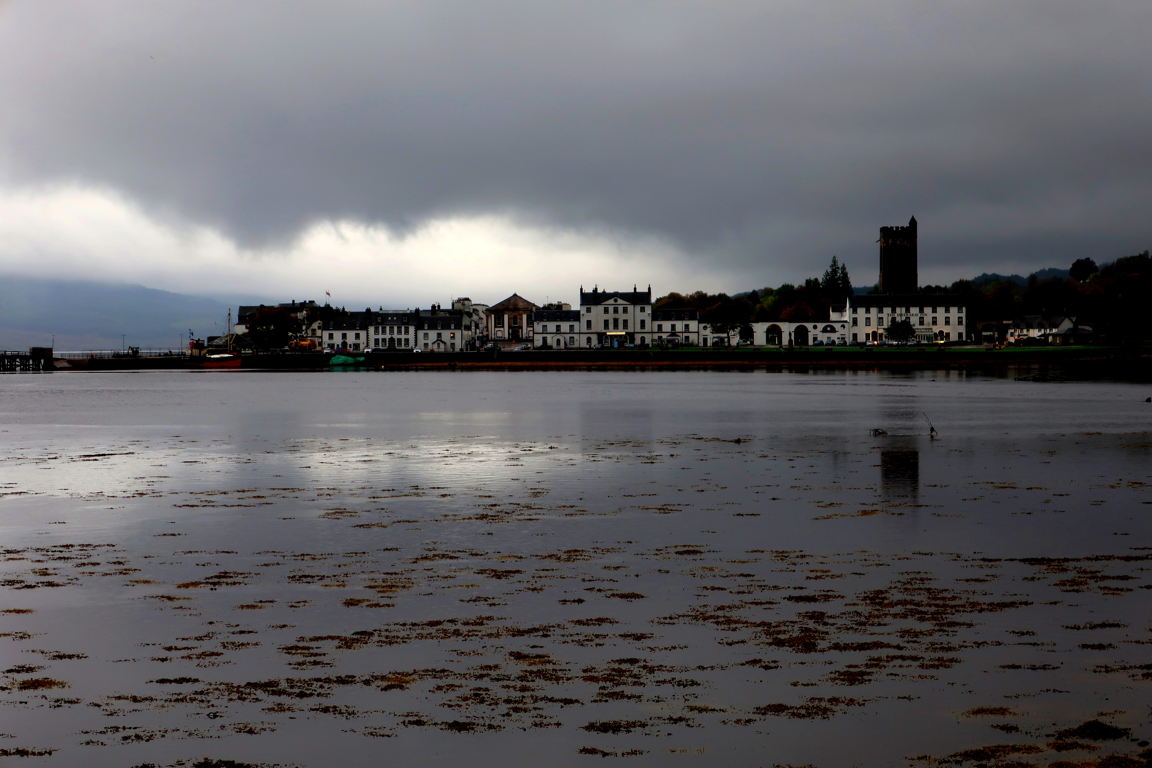 IMG_2248 (1)
 by
Half Man Half Titanium, on Flickr
 IMG_2068 (1)
 by
Half Man Half Titanium, on Flickr
