free to be able to rate and comment on reports (as well as access 1:25000 mapping).
For one reason or another, I've not been able to get up the hills lately, so have been reading past reports just to remind myself that when I was younger, I did. Those of you who like to pat yourselves on the back can pride yourselves on the fact that you did this round MUCH QUICKER. However, unless it's very much quicker, I wouldn't recommend it for November.
For a long while now the Auch hills have been my nearest unclimbed Corbetts, but whenever I have suggested them, R comes up with a suggestion that we climb a Corbett neither of us have climbed. He didn’t really want to repeat them, having done them on a sweltering day in 1999. A friend had been tasked with filling in some vacant squares for the millennium butterfly atlas, and had taken one look at the terrain behind Tyndrum and called for help. R had said that he wasn’t an expert, but friend had persuaded him that he was a good observer, and just needed to take notes about what was up there. When he had returned exhausted with chasing after butterflies as well as bagging hills, our friend had been particularly interested in some anonymous beige-coloured ones, and got R to describe them minutely. Hence, R is responsible for establishing that there were, as of 1999, still colonies of mountain ringlets up there, something that hadn’t been reported by butterfly buffs since the 1970s.
This meant that he was less than keen to repeat the experience, however, I had devised a cunning plan. If it was too wet or windy to climb The Cobbler on that day, we would go to Tyndrum and attempt them as a treat for my birthday. The BBC forecast had rain coming up from the south and hitting Tyndrum between 12 noon and 3 p.m. mwis forecast light rain with winds of 25-30mph on the summits. Not a day for The Cobbler. We wanted an early start, so we booked into The Tyndrum Lodge Hotel. As we drove over the heavens opened. The forecast for the Saturday had been not dissimilar to the Sunday(my birthday), except for lower cloud initially, so we were very depressed. A fellow guest told us that the breakfasts were excellent, and R looked hopeful, until I explained that we had brought our own, since we wanted an early start. We agreed that we would do one hill, come what may, and if the weather wasn’t too horrendous would carry on for three and them go down from the Bealach Ghlas Leathaid as outlined in tombuidhe's report
http://www.scottishhills.com/html/modules.php?name=Trip_Report&topicid=880 . Five didn’t seem likely
R remembered creeping through the cattle creep and up the extremely steep side of Beinn Odhar, and wasn’t keen to repeat that start after the rain of the previous day, it would be too slippery, so we parked our car near the bottom of the south east ridge
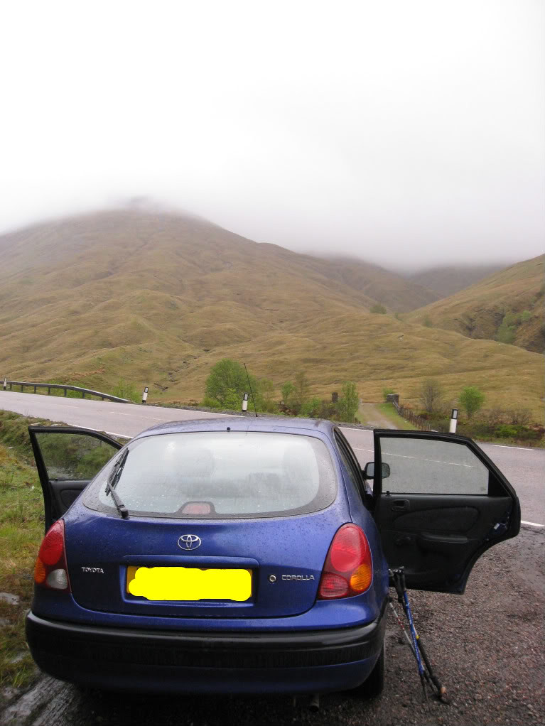
We set off at 7.10 a.m. From here a stalkers path goes up to the old quarry, so we set off in the light rain. “This is what happens,” said R gloomily, “If you commit to climbing a hill on a given day. I don’t think charities should do it, because people go out in all weathers, and it could be dangerous.”
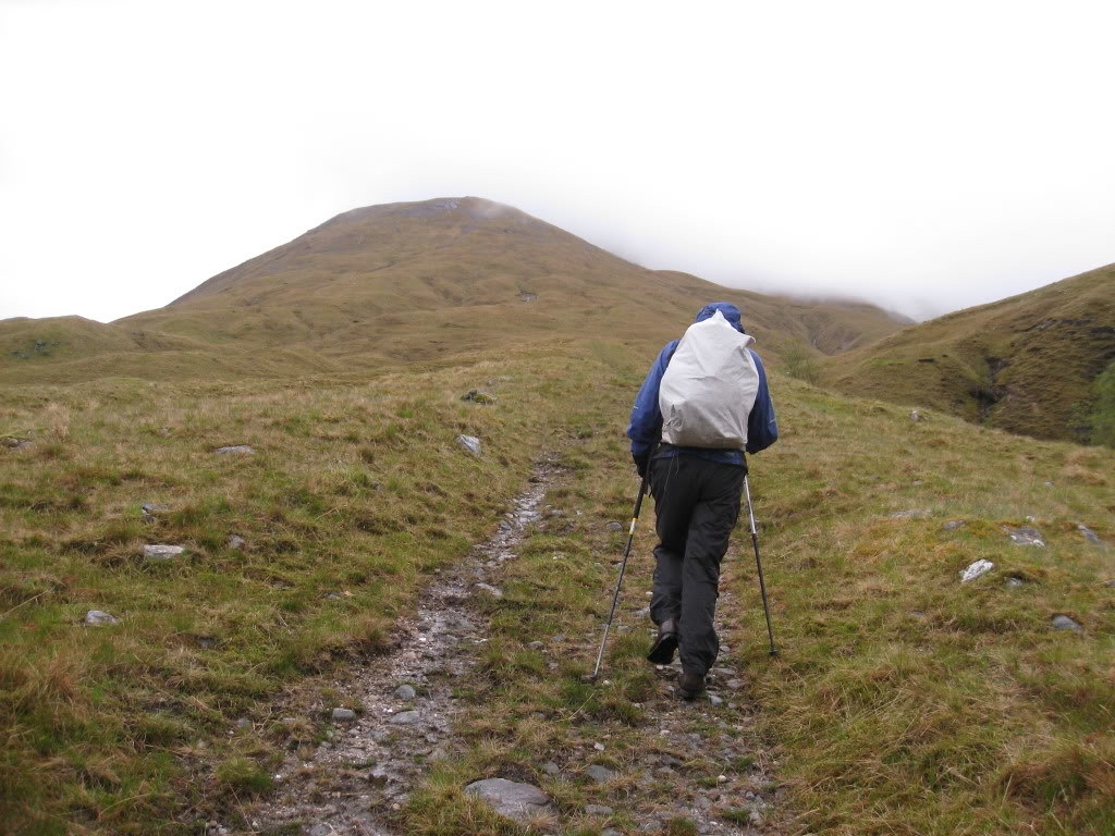
We followed a path of sorts into the cloud.
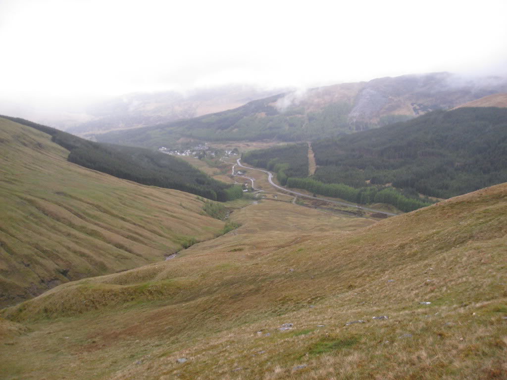
Tyndrum looked clear below, would this be the last views we would get?
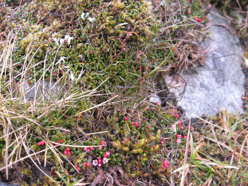
We found some (?) mountain azalea along the way
It had rained on and off most of the way up, and R could see nothing as he sat by the cairn.
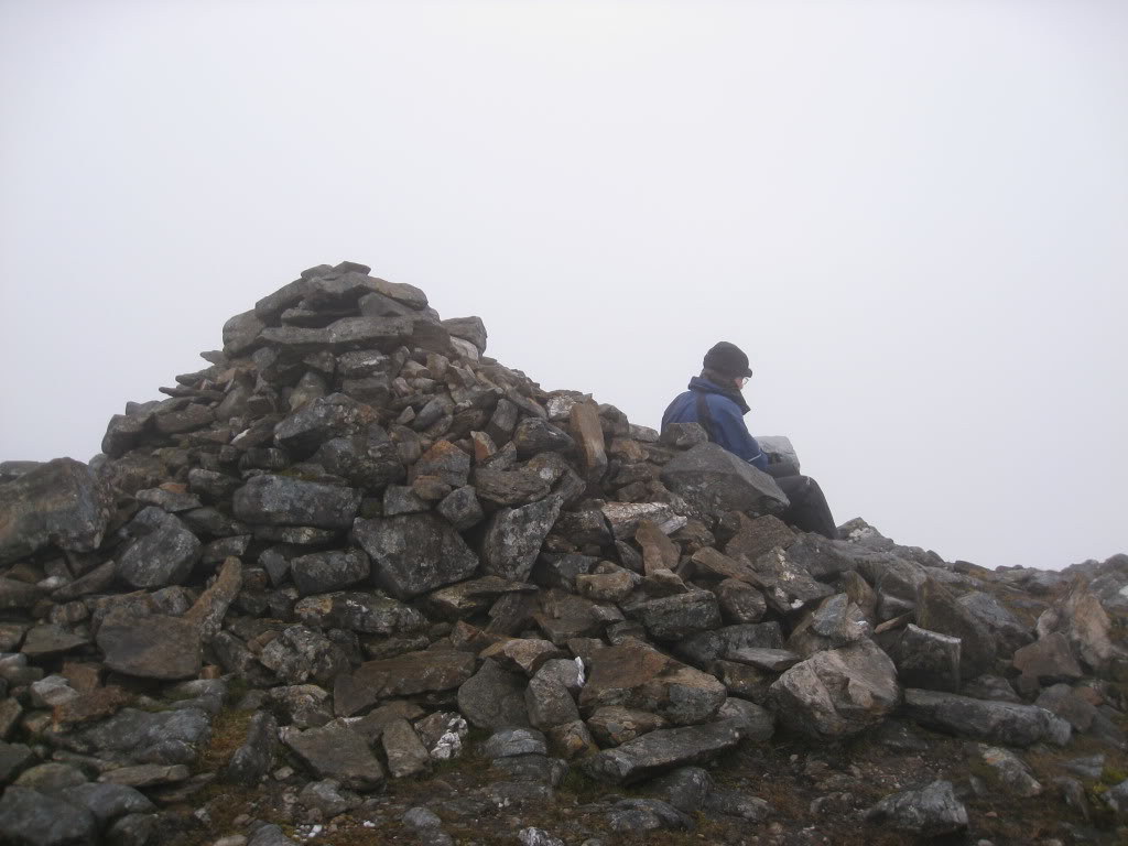
Maybe we should have gone along with the party idea, after all. My sister had tried to organise everyone into a surprise party, but had struck rocks when she had phoned my daughter, who had said firmly “I think you’ll find she wants to go up a hill.” Well done that daughter. I promised that I would take the birthday cards of the core party participants and take their photos on the tops. So here are my sister’s card (Party a very kind thought, sister) and 9 year old grandson’s card (at least he drew a mountain, which is more than the rest did).
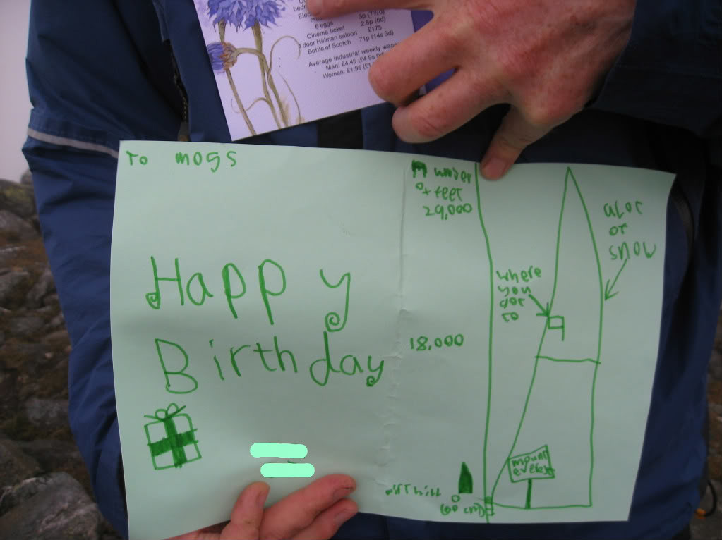
We had reached the top at 8.40 a.m.
The rain seemed to stop, so we thought we might try to locate the way to Beinn Chaorach. It seemed an awful long three hundred metres to the lochan, trying to count steps in the mist, but at last it appeared, and what was more, the cloud started rising.
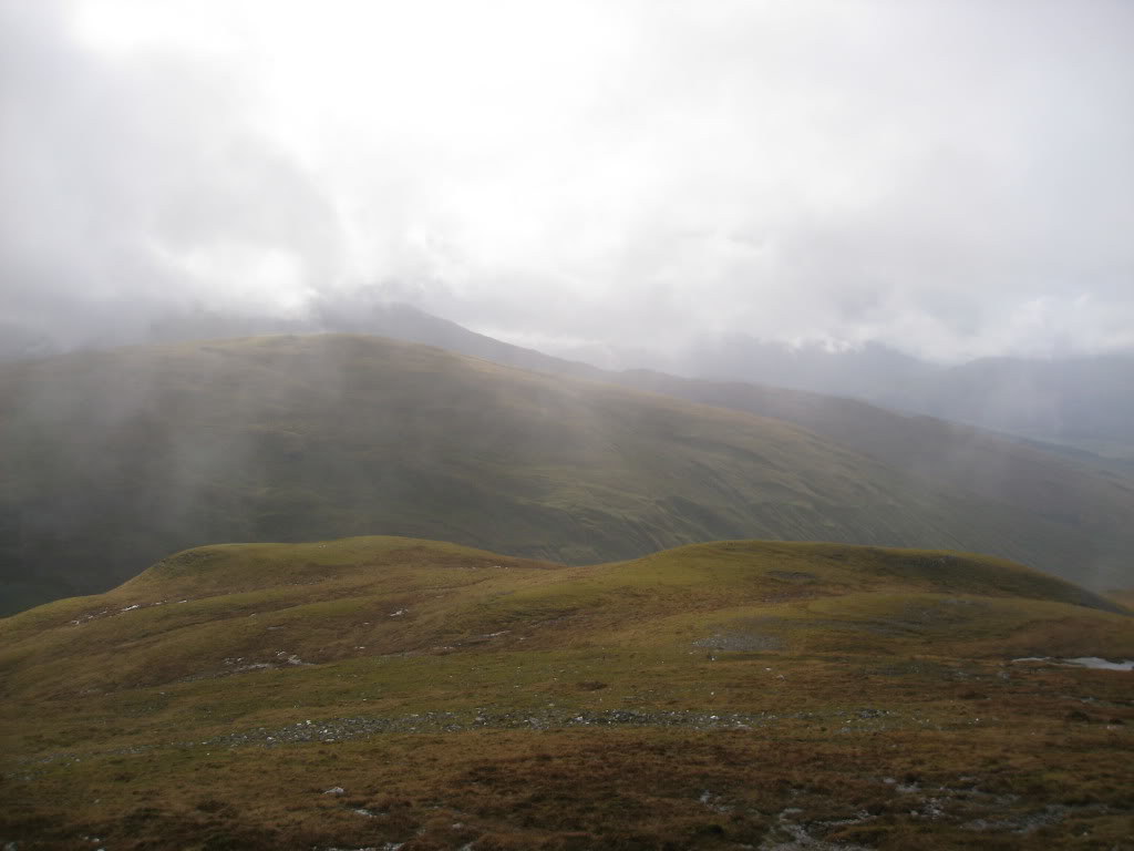
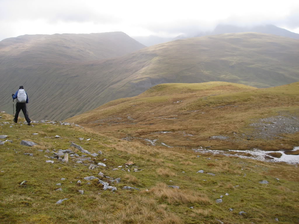
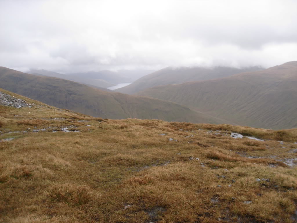
We located the remnants of the electric fence and then went down what seemed like a very long way, reaching the col at 9.45 a.m. and climbing steeply up to Beinn Chaorach for 10 50 a.m.
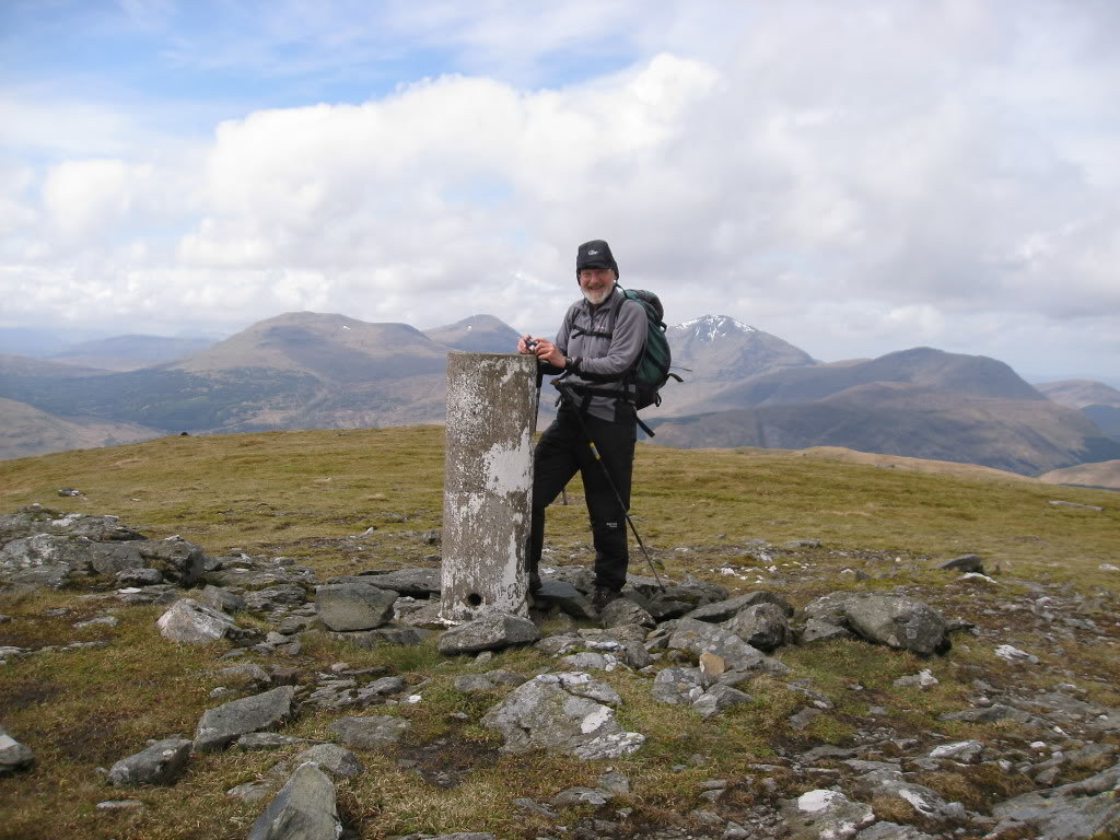
The clouds had cleared by now and didn’t even trouble the munros.
We had spectacular views of Ben Lui
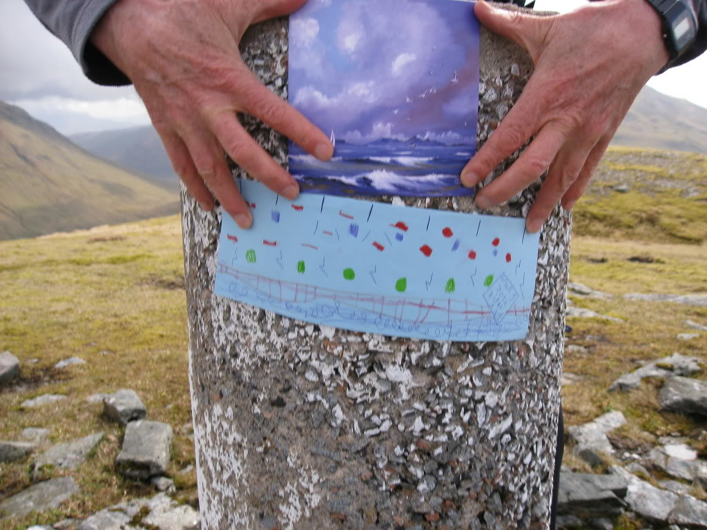
R clamped the cards sent by 6 year old grand-daughter and him to the trig point and explained “All the age cards just said ‘Put your feet up’ well, we’re not having any of that, are we?”
From here we saw that two people were following us, having got to the top of Beinn Odhar.
The transition to Cam Creag was less painful,
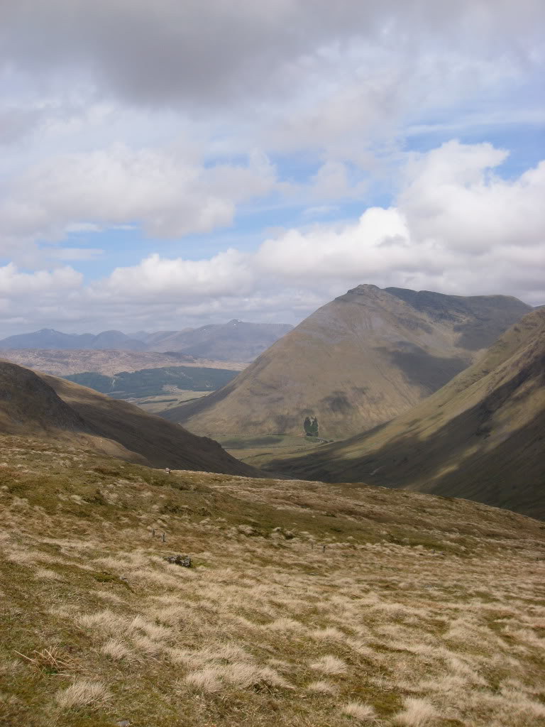
We encountered the remains of the electric generator mention in the Corbett guide
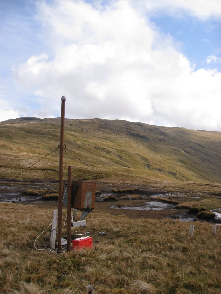
and we arrived at 12 noon. The other two walkers were already coming up to the summit.
Here I took a photo of 3 ½ year old grand-daughter’s card. She had made a valiant attempt to write Granny, but so far, she is better at doing T’s. We think this is very clever, since her name begins with a T, but looking back, her oldest brother did that perpetually at this age, and told us he was drawing swords. We matched it with my son’s card.
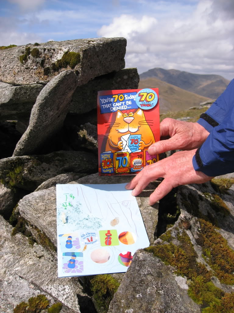
Still no rain. The clouds that R said looked so threatening earlier, didn’t seem any worse. It would be a long walk down and round to fetch the car. “We may as well go on?” I pleaded. “Well, you have to understand you’re letting yourself in for A VERY LONG WALK.” said R .
I set off down the north north west ridge. Descending this, the two people we had spotted earlier on came running past us "No wonder you were catching us up so fast!"said R. They shouted something about smelling the beer, and bounded past. By the time we had got down to the Abhain Ghlas, they were little spots, half way up the next mountain. I did find them once on the photo below (inserted later) honest!
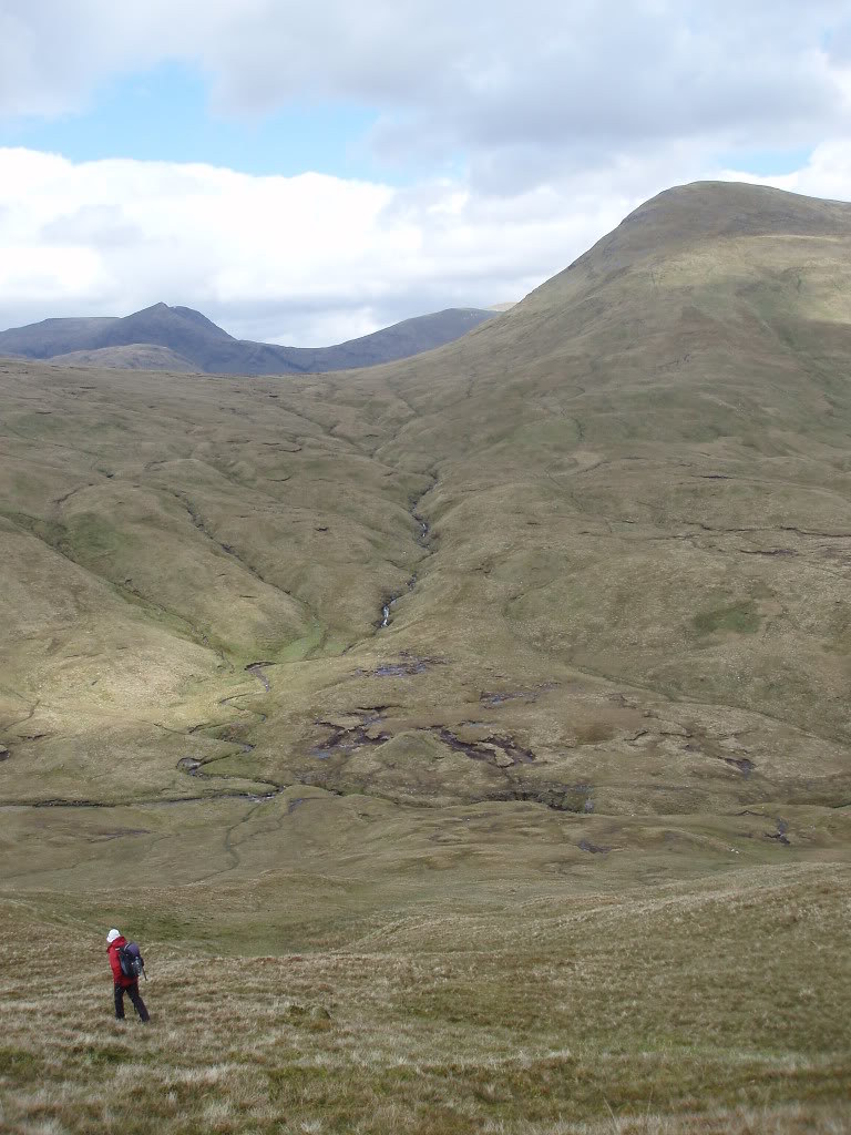
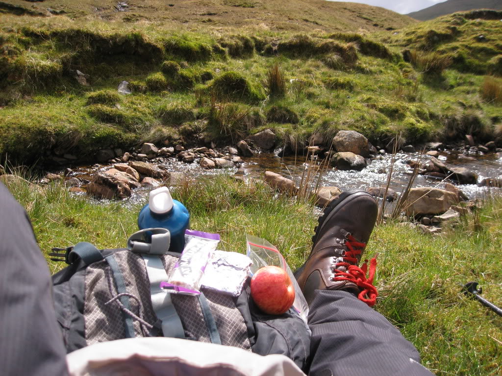
I didn’t care. If I was to get anywhere near the top of that, I had to refuel, so we stopped by the stream for some lunch around 1.20 p.m.
The top of Beinn nam Fuaran is only a kilometre from here, but it is very steep.
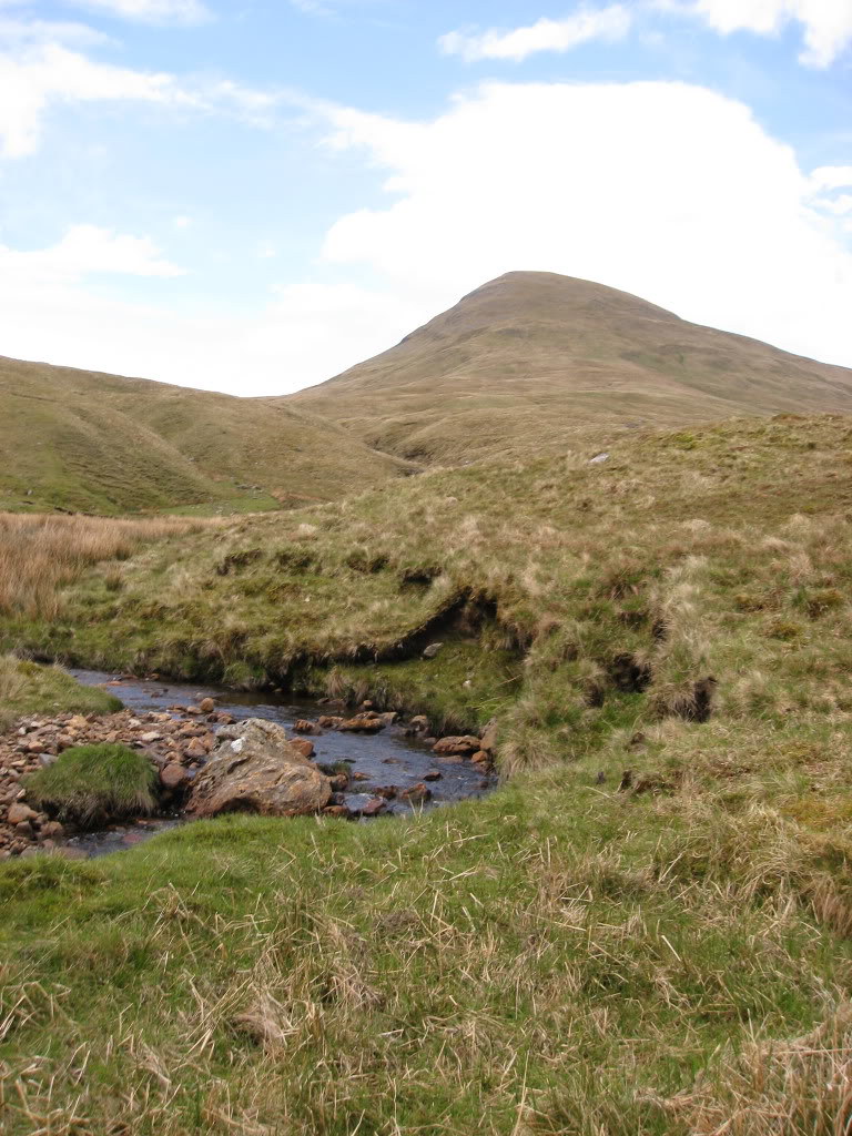
R had warned me that this was the part he found the hardest ten years ago. We passed a tree graveyard, what a pity there are none left now
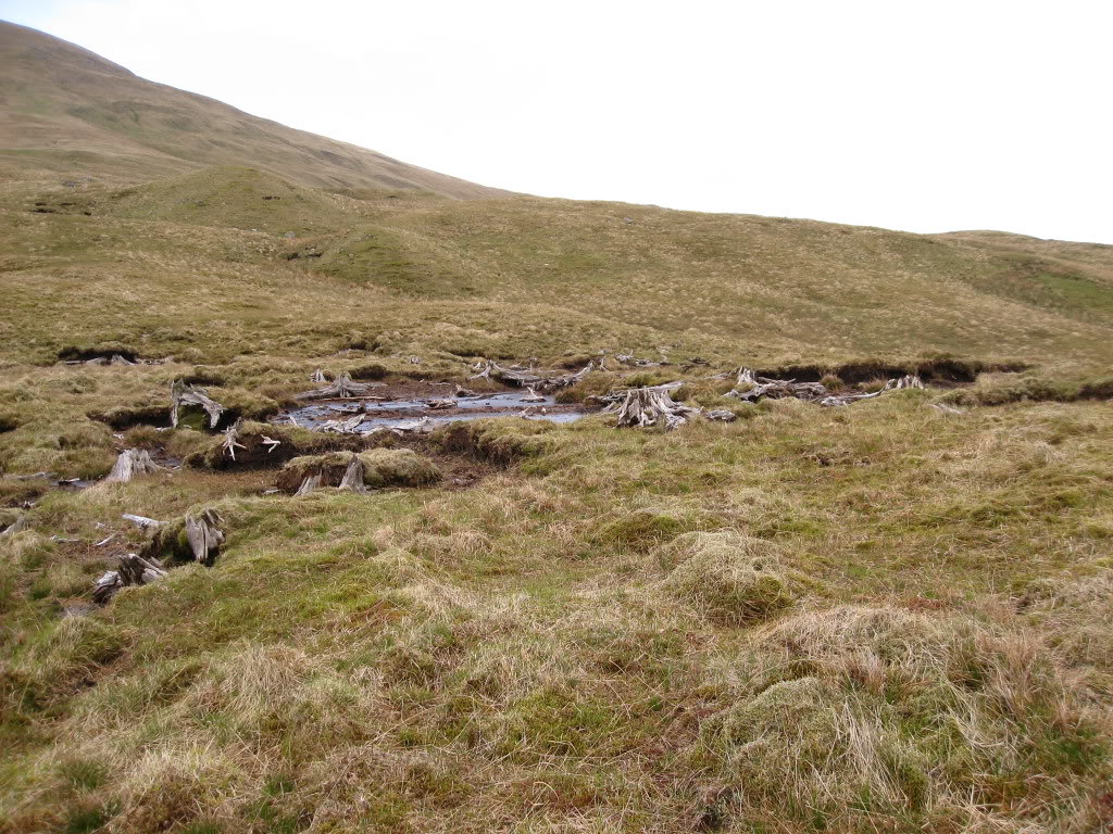
However, the blustery wind was now behind us. We got to the top at 2.35 p.m.
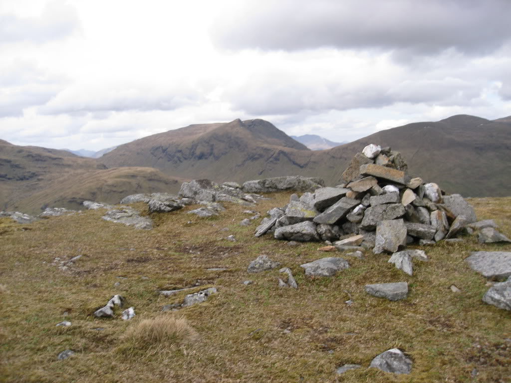
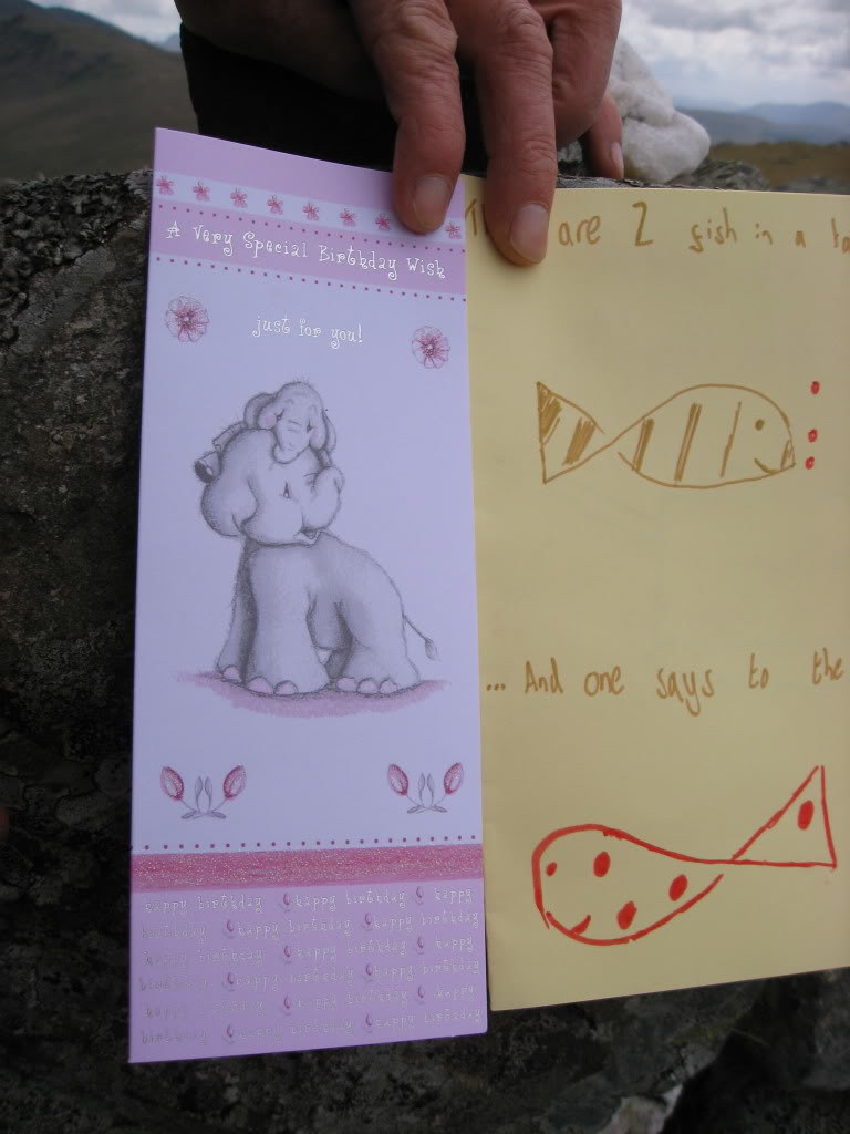
Here was an appropriate place to take a look at 16 year old grandson’s card, and cheer ourselves up with a joke “There are 2 fish in a tank, and one says to the other……any idea how to drive this thing?” I’ll forgive him for not producing his usual artistic stuff, since he’s in the middle of exams. The other was from son's girl friend.
Going straight down to the bealach seemed rather steep, so we veered back a little towards our route of ascent and managed to get part way up Beinn a’ Chaisteil before flopping for another snack at 3.10 p.m.
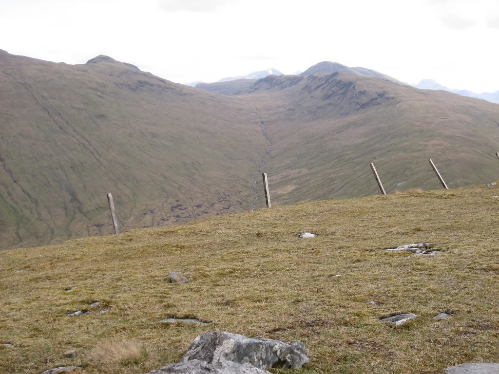
Looking back the way we had come
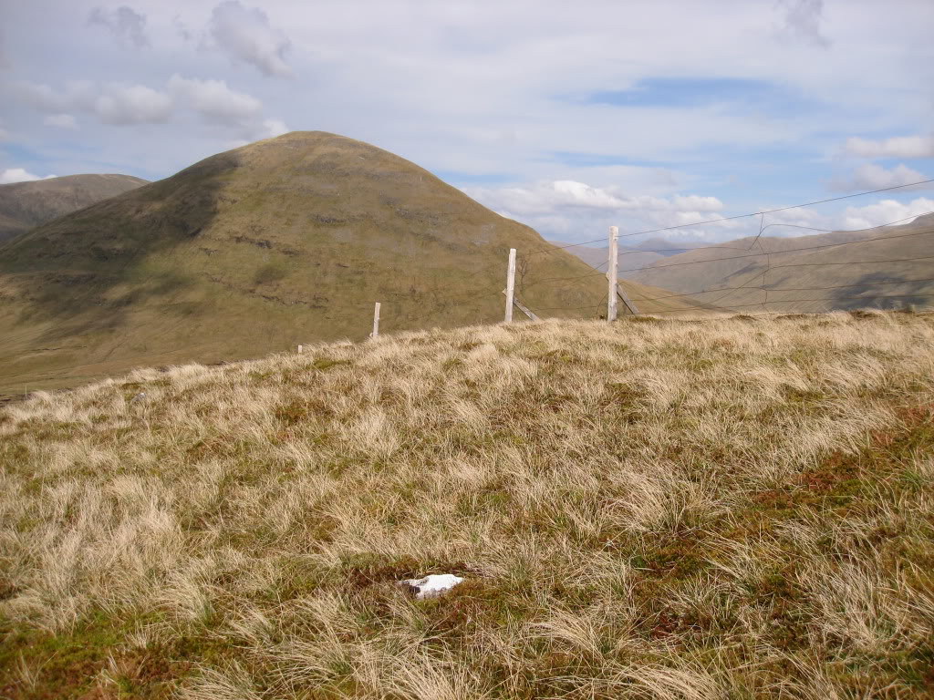
Finally we made the top at 4.28 p.m. The views from here seem better than from any of the other tops, though we missed the views from Beinn Odhar, which must be good
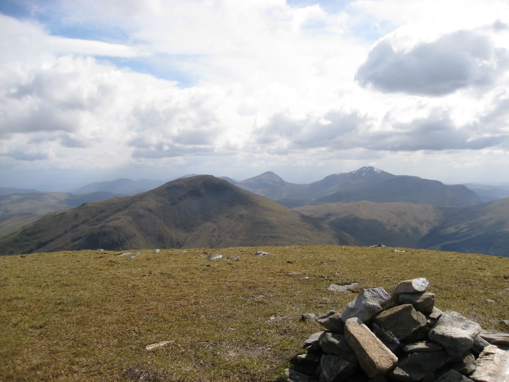
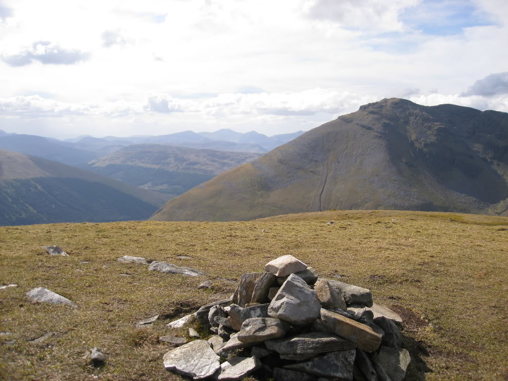
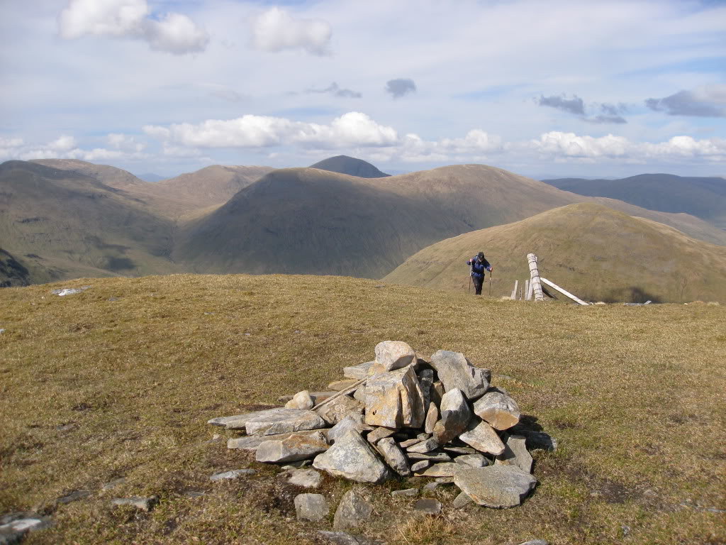
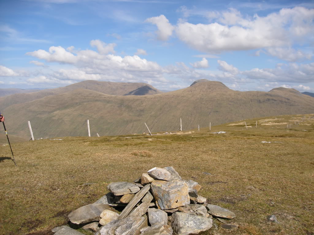
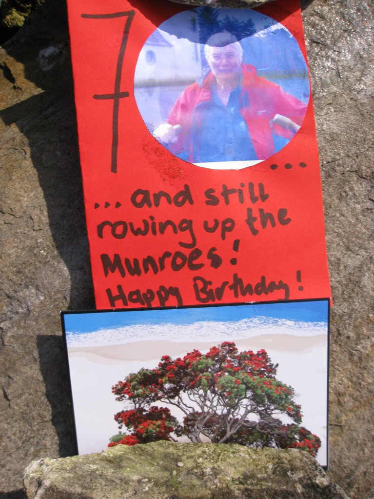
The last two cards I had brought: one from Daughter (who had incorporated a picture of me looking a bit like grandma from the Giles cartoons) and one from my ex-business partner who has climbed many a metaphorical mountain with me in the many years we worked together. She has a very long memory: she is married to a New-Zealander and years ago we had asked her if it were true that all indigenous N-Z plants were white. Her card shows one that is red (but crucially, the red parts aren’t petals).
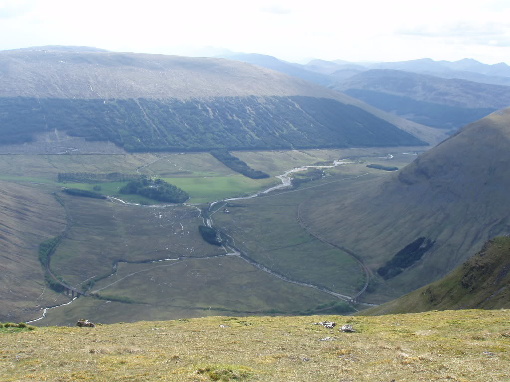
It would be nice to go directly to Auch, but the crags are in the way. Below you can see how the railway curls round at this point (Inserted later from R's photos)
The way back goes down the south east ridge.
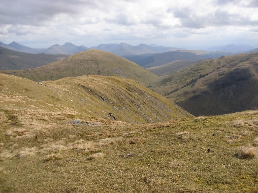
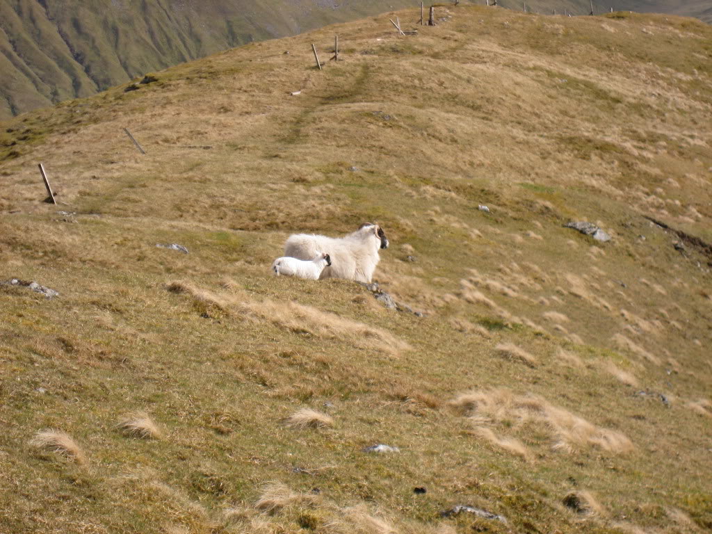
The lambs are high up again already
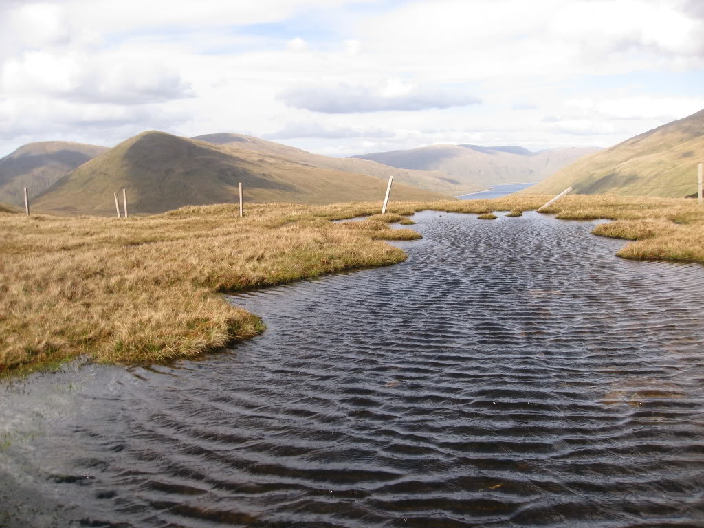
The wind was blowing into our faces now
R told me that he had got into trouble trying to go sideways off the ridge too soon last time, so we plodded right to the bitter end, his knees were playing up by now, so it took us a long time to get down and back to the car.
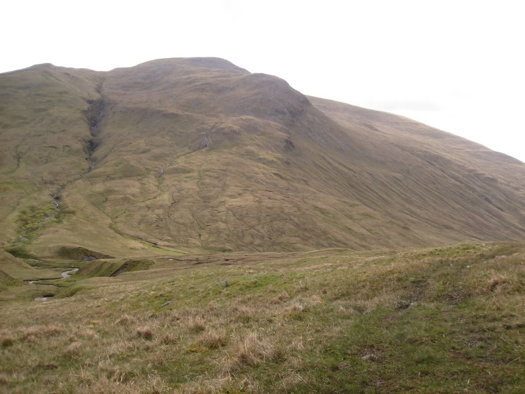
We found a faint track, then a vehicular track in grass, and then a rough stony track which took us right down to the viaduct, and under it.
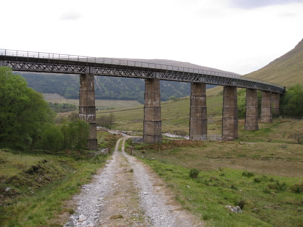
We plodded doggedly on
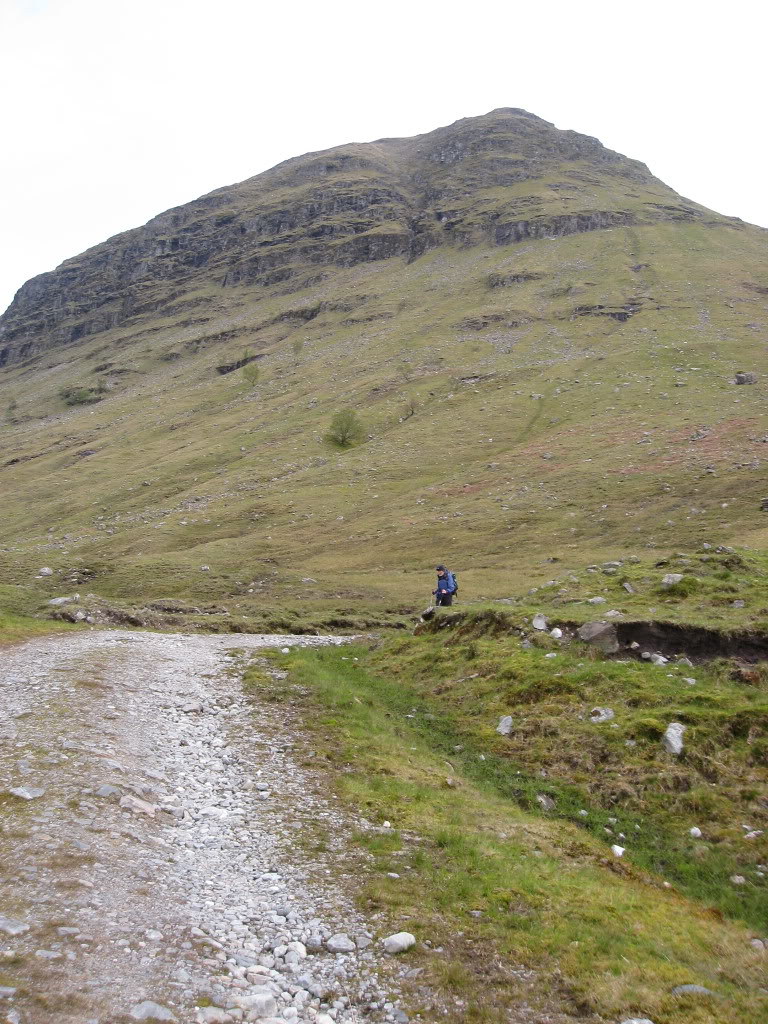
and reached the car at 7.52p.m. a total round of 12 hours 42 minutes. Respect to foggieclimber who did it in 8O 9 hours 15 mins 8O
When we got back to the hotel we found a certain person had booked in as well. Son had come up from London, bearing a bottle of champagne, so thanks to his girl-friend, who despite having to have an op. on her shoulder, valiantly let him come north. We were so tired, we could only sip the champagne and make ourselves some Cup-a-soup, but he could stay for breakfast.
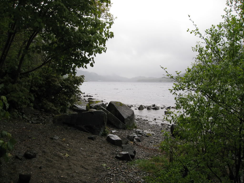
The next day (the day we would have climbed the second half had we not done five together) it poured with rain as we set off. How lucky can you be? Below, Loch Earn in the rain
So to finish here are some stats
What? Beinn Odhar, Beinn Chaorach, Cam Creag, Beinn nam Fuaran, Beinn a Chaisteil
When? May 17 2009
How? Via the SMC Corbett guide with the exception that we started at the bottom of the S.E. ridge, and returned to it.
Metres of ascent? Approx 2000
Kilometres walked? Approx 20
Weather? Forecast rain and clouds. Actually a little rain, some blustery wind on summits and beautiful weather for most of the day
Dog friendly? Yes, but mind the sheep.
Who? Squiz and Realsquiz
EDITED The two people who ran past us were Manny Gorman, very early in his continuous self-propelled round of the Corbetts, and a running friend.