free to be able to rate and comment on reports (as well as access 1:25000 mapping).
Sub 2k Marilyns: 'S Airde Bheinn.
Date: 10/11/2021.
Distance: 3 + 5.5 km.
Ascent: 140 + 120 m.
Time: 1 hour, 35 minutes + 2 hours.
Weather: Breezy - sunshine and showers.
Yesterday's trip to Iona hadn't killed Jackie off in the way she's been accustomed to after a day out walking, so we decided to do another short walk or two while visiting Tobermory today. While it was only 12 miles or so to Tobermory from Kilninian, it takes about 45 minutes to drive! Anyway, we planned to stop before Tobermory to wander up 'S Airde Bheinn and look at what seems to be commonly known as the Crater Loch - a lochan in an extinct volcanic plug. With less than 150m ascent we hoped this wouldn't be too much of an ask, and set off before midday.
 Path to 'S Airde Bheinn
 Being a bit of a destination on Mull, there was even a path the whole way - a little boggy in places but it made the going easier. As we approached the final steepening, We decided to veer off to the right and go round the east side of the crater first. Any concern about crossing the outflow of the loch was gone when we realised we had crossed it without even noticing!
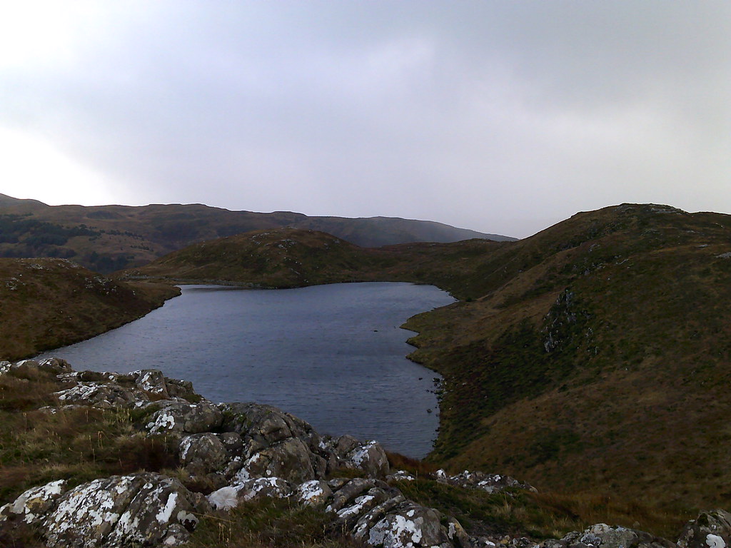
 Lochan 's Airde Bheinn (or the Crater Lochan to many people)
 The lochan is certainly interesting, circled as it is by a low, rocky summit ridge, but the main revelation was the views. This is the highest thing on the north end of Mull so we could see plenty - the Sound, Ardnamurchan and Morven, and when the showers moved on, Canna, Eigg and Rum. Excellent

. Although it was breezy we found some shelter for lunch.
 Tobermory and Beinn Hiant
  Meall an Inbhire and the western end of Ardnamurchan
  North coast of Mull with Coll in the distance
  Kilchoan and Ardnamurchan
 We could see a shower moving in that would be fairly unpleasant so we packed up and dropped down off the summit, heading round the other side of the crater. Although the shower hit, we plugged on and it was gone in 20 minutes or so.
 Crater loch from near the summit
 After a short steeper section, we rejoined the outward route. I always expected to like this hill, but it was even better than I thought it might be.
 Speinne Mor and Loch Carnain an Amais
  Heading down again
  Looking back to S Airde Bheinn
 We drove on to Tobermory and had a wander along the front, accidentally losing some money at the distillery and the chocolate shop - oops

. Since we still had some daylight and Jackie felt OK, we decided to stroll out to the lighthouse at Rubha nan Gall. This turned out to be a well-made path cut into the hillside, and as we got further from Tobermory the trees opened out a bit, giving views across the Sound. There were a couple more showers but nothing too nasty. A nice quiet spot - quite remote feeling too due to being right at the foot of some steep cliffs. The path appeared to be the only access to the adjacent cottage (apart from the water of course).
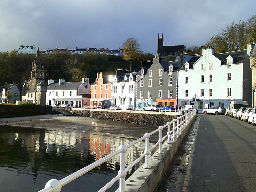 Tobermory
  Rubha nan Gall lighthouse
 On our way back we followed an overgrown path uphill to the top of the crags. There were some good views from up here but quite a lot was obscured by trees. Eventually we picked up the edge of the golf course and followed it back into town, arriving as the light began to leave. Another fine day of pootling.
 Lighthouse with Ardnamurchan behind