free to be able to rate and comment on reports (as well as access 1:25000 mapping).
Sub 2k Marilyns: Meall Mor.
Date: 27/12/2021.
Distance: 8.5 km.
Ascent: 385m.
Time: 2 hours.
Weather: Clear and mostly sunny.
Probably the final hill of the year for me, and a walk mostly done to satisfy the arbitrary target I set for myself this year of doing 40,000m of ascent. Normally this number is passed without me even noticing or trying (and apparently I haven't missed it since 2009), but due to last year's lockdown and Jackie's ongoing post-Covid struggles, I only just made it in 2020. I assumed that 2021 would be better (in most regards), but it hasn't really turned out this way!
I decided to reprise a walk we had done last Christmas Day and get to the higher summit of Meall Mor as well this time, albeit on my own. We had enjoyed a couple of days of flatter walks together and Jackie needed a rest day. Mist, fog and drizzle over Inverness itself quickly dissipated as I climbed the A9 past Bogbain, and it looked like I would be treated to an atmospheric and sunny day. I took the loop of old A9 near Daviot and parked at Lairgandour, dodging the icy surfaces as I walked up past the contractors yard and buildings. The track to the quarry beyond here still doesn't appear on any map, but I think it provides the most pain-free approach to this pair of summits.
 Strathnairn and Cannich Hills
  Sgurr a Choire Ghlais and Beinn a Bhach Ard
  Fannaichs
 It turned out that the misty inversion sitting over Inverness was confined pretty much just to the town and Loch Ness, perhaps with a little more low-lying cloud over the Conon and Cromarty Firth as well. Beyond that, the views to the bigger hills of the NW were spectacular - this is probably some of the best weather I've had on the hills in this area. Passing the quarry, the track climbs over a shoulder and descends slightly into the un-named NE corrie between these two summits. A couple of sharp ups and downs later, the track ends.
 Beinn Bhuidhe Mor
 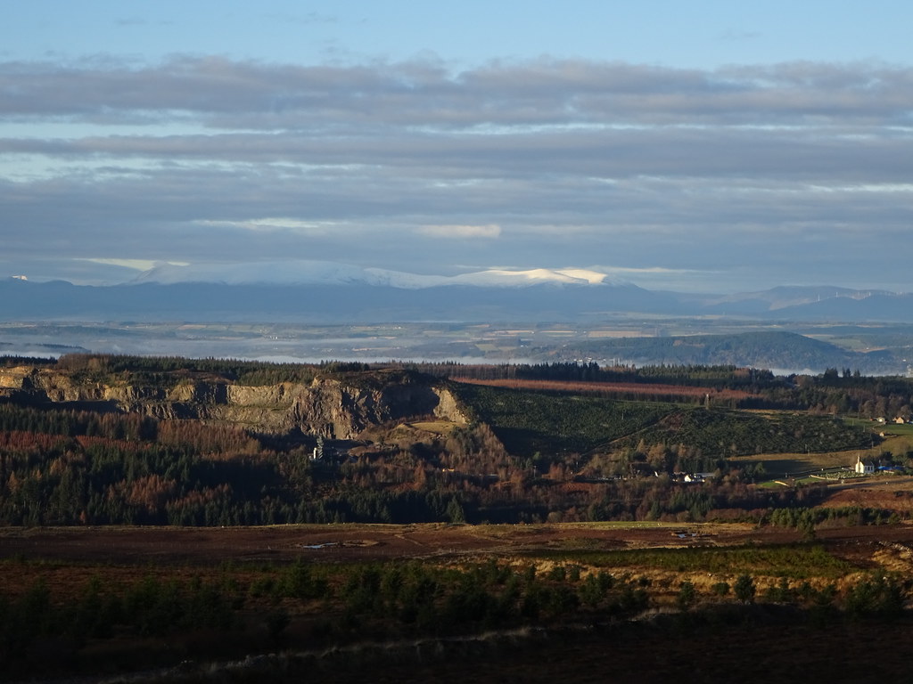 Daviot quarry and Ben Wyvis
 We had reached this point previously and just gone up the rough, heathery slopes straight onto Beinn Bheurlaich. This time I decided to head to Meall Mor first. There were faint quad bike and animal tracks easing the way, although it wasn't clear whether the hard frosty ground was making things easier than normal. This whole side of the hill has been planted with mixed trees in the last few years so there are lots of faint paths to follow, but also lots of holes to fall in!
 Northern corries of the Cairngorms
  Icicles
  End of the new track and path to the summit
  Strathnairn and Meall Fuar Mhonaidh
  Hill of Nigg with Sutherland beyond
 From the summit of Meall Mor, views to the Cairngorms and Strathdearn opened up, and in Sutherland, distant hills such as Ben Klibreck and Scaraben were visible.
 Loch Moy and the A9
  Strathfarrar hills
 I fell in a few holes on the traverse between the two summits but the line of an old fence made the going a little easier. The A9 seems really close here, and distance-wise the shortest approach to the hill is probably from it (that's what I did on my first visit), but it feels like a bog and heather smash from the word go. The track from Lairgandour may be longer but it takes a lot of the crap out of the ascent and turns it into a hill that's worth going up more than once.
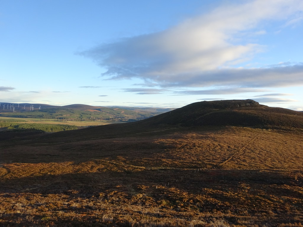 Meall Mor from Beinn a Bheurlaich
  Inversion over Loch Ness and Inverness
 Beinn a' Bheurlaich probably has the better views despite being 10m lower as it is the last high ground before the Moray Firth. Rather than drop straight back to the track, I followed the NE ridge down towards the quarry. There was a faint quad bike route down here that was better than the more direct line to the track, also keeping the views for longer.
 Moray Firth from Beinn a Bheurlaich
 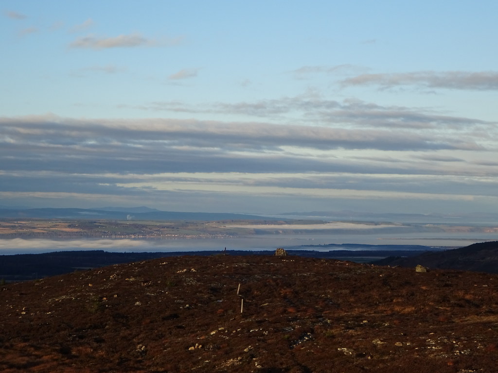 Fortrose and the Black Isle
  Zoom to Ben Klibreck
  Scaraben across Tarbart Ness
  Ben Wyvis
 As I descended towards Strathnairn, the afternoon light turned everything red - quite an impressive day out for such an unassuming hill.
