free to be able to rate and comment on reports (as well as access 1:25000 mapping).
Struie2.05km
191m ascent
52 mins
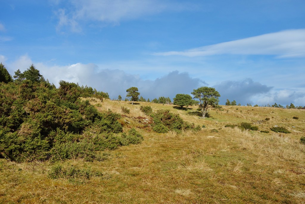
Malky suggested a couple of small hills out near Ardross - not too far from the house and with the option of only doing one if I was struggling.... We parked up at the parking area near the bottom of Struie and looked up. It looked very heathery but Malky had promised me there was a path...

One of the advantages of this hill was the high start point, which meant that we only needed to climb a few metres to be able to make out Ben Klibreck in the distance

To be fair to Malky, he was correct and there was a good path all the way up. Although a little squishy in places it was easily doable in trail shoes

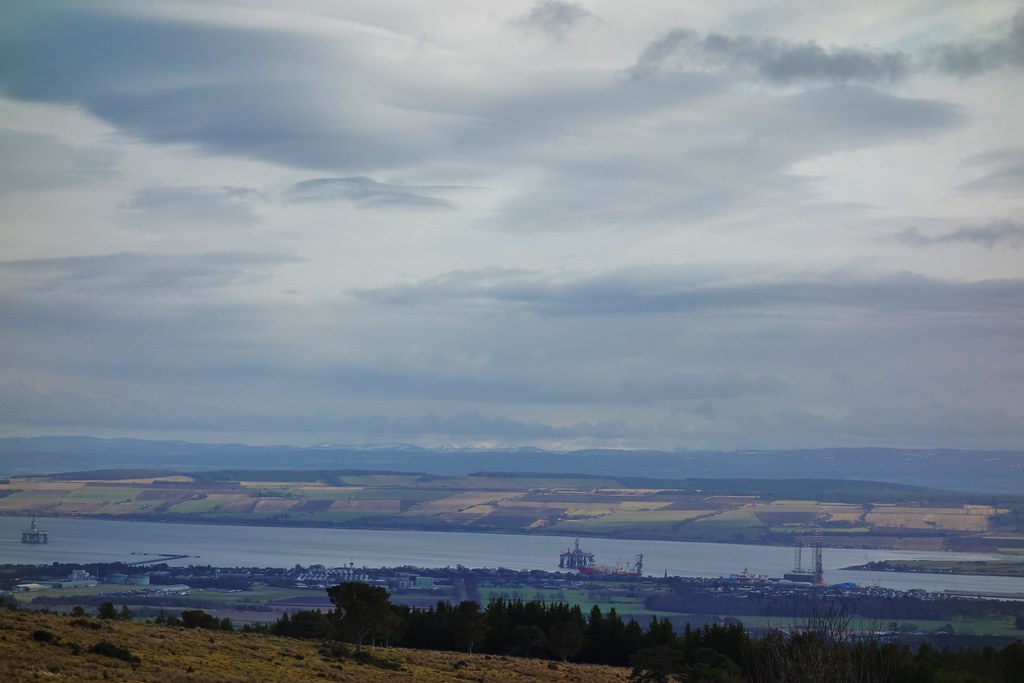
Looking down to the Dornoch Firth - the sun was shining and everything looked pretty (it was also freezing and very windy!!)

It was slow going - I was really struggling with my breathing and needed lots of rests.
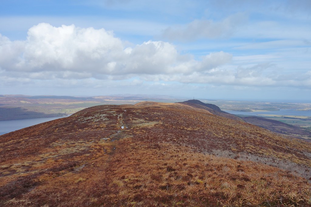
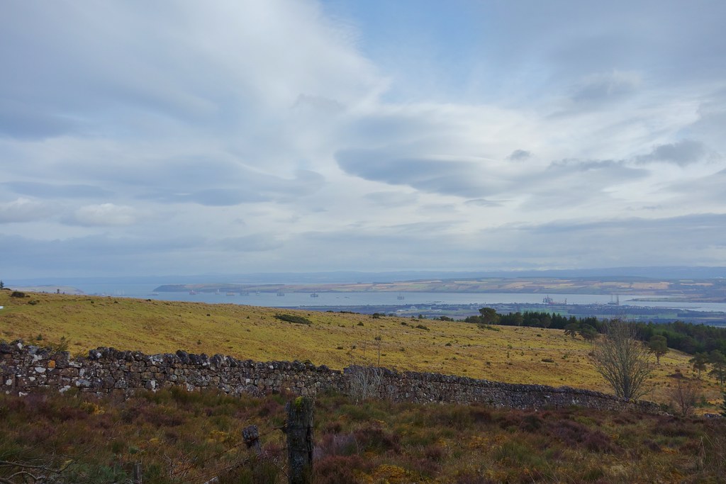
The ridge steepened for a short period before we popped out on the top which gave us views back down the glen

The actual summit was a few metres further. Even walking on the flat was hard work and the wind wasn't exactly helping me


A walk for another time - Struie has a long ridge with a path to the radio mast and viewpoint at the other end. I wouldn't manage it now, but maybe one day...
Snow covered high hills in the distance

The Dornoch Firth

Summit of Struie

Looking down the Dornoch Firth towards Bonar Bridge

We headed back down the same way - although I was exhausted it was definitely easier going back down. We had lunch in the car before debating whether I was up to another hill - before lunch I'd had say no, but after a good break I thought I could give it a go....
Cnoc Corr Guinie7.31km
228
2 hours 15 mins
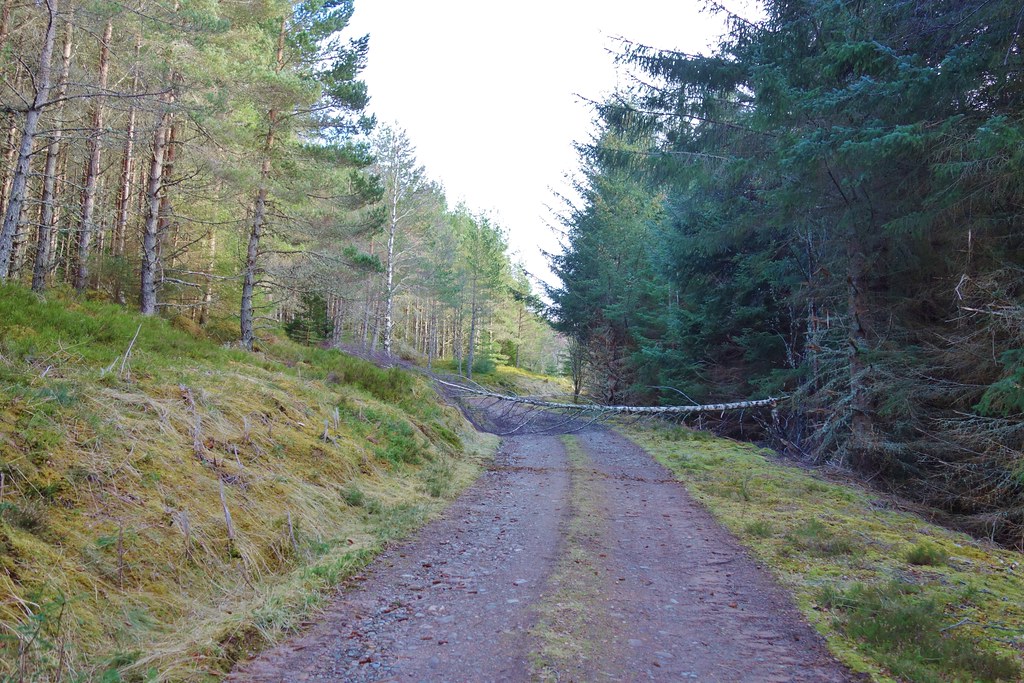
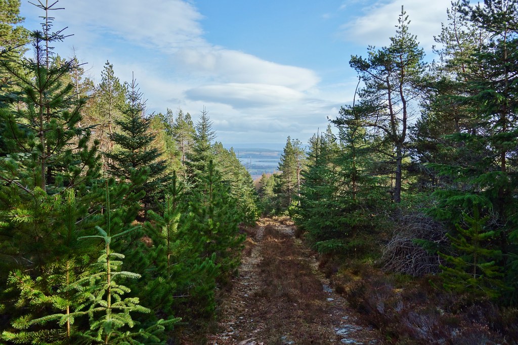
We drove a few miles back down the road and found a parking spot at the beginning of the track. We followed the track through the forest - it was slow going and hard work but much more sheltered from the wind which helped a lot!
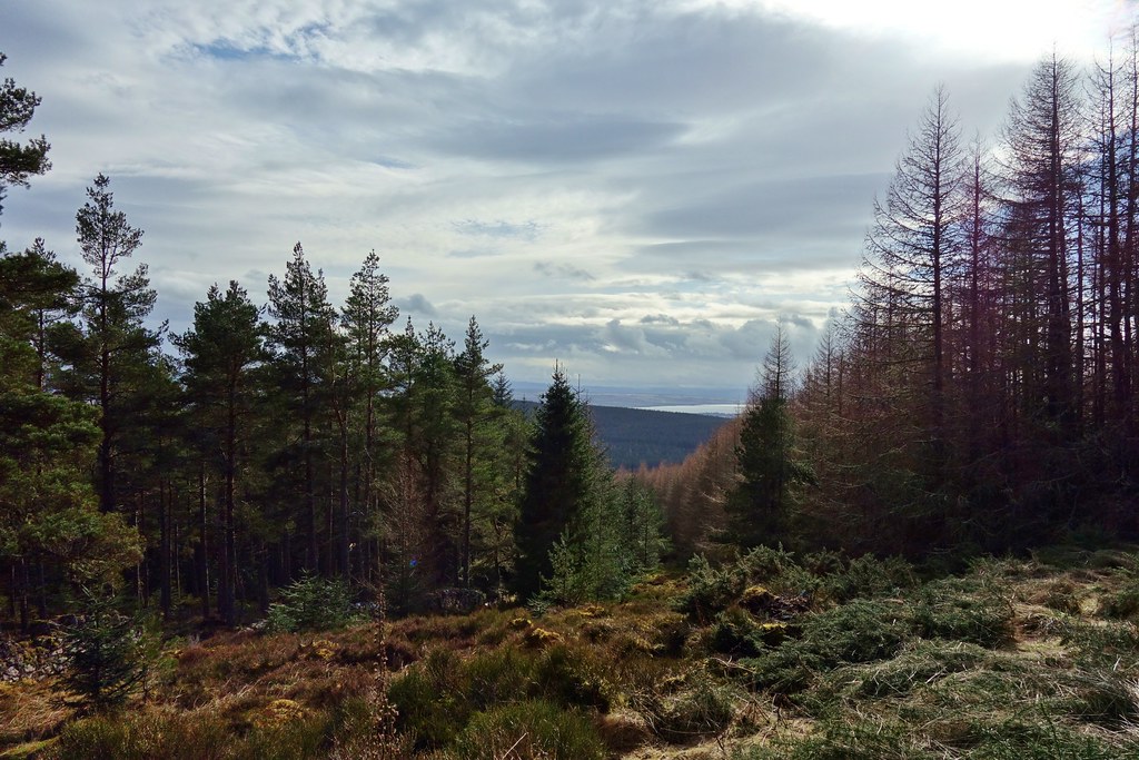
As we slowly gained height we also were able to benefit from the sun and could see wee bits of views through the trees

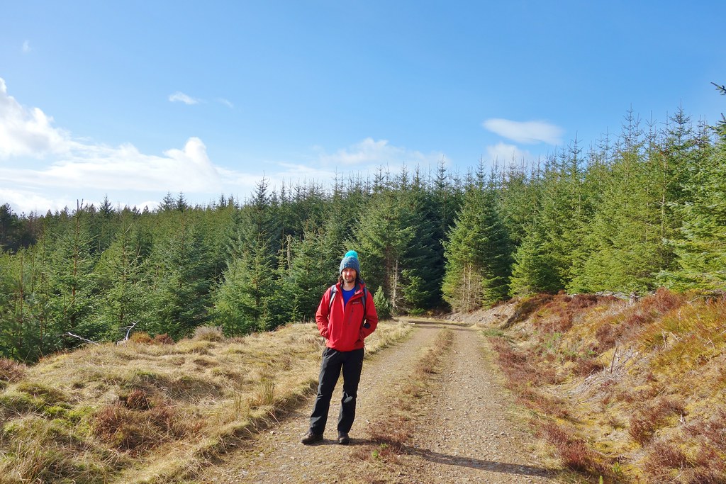
The hat looks like overkill but it was a lot colder than it looks

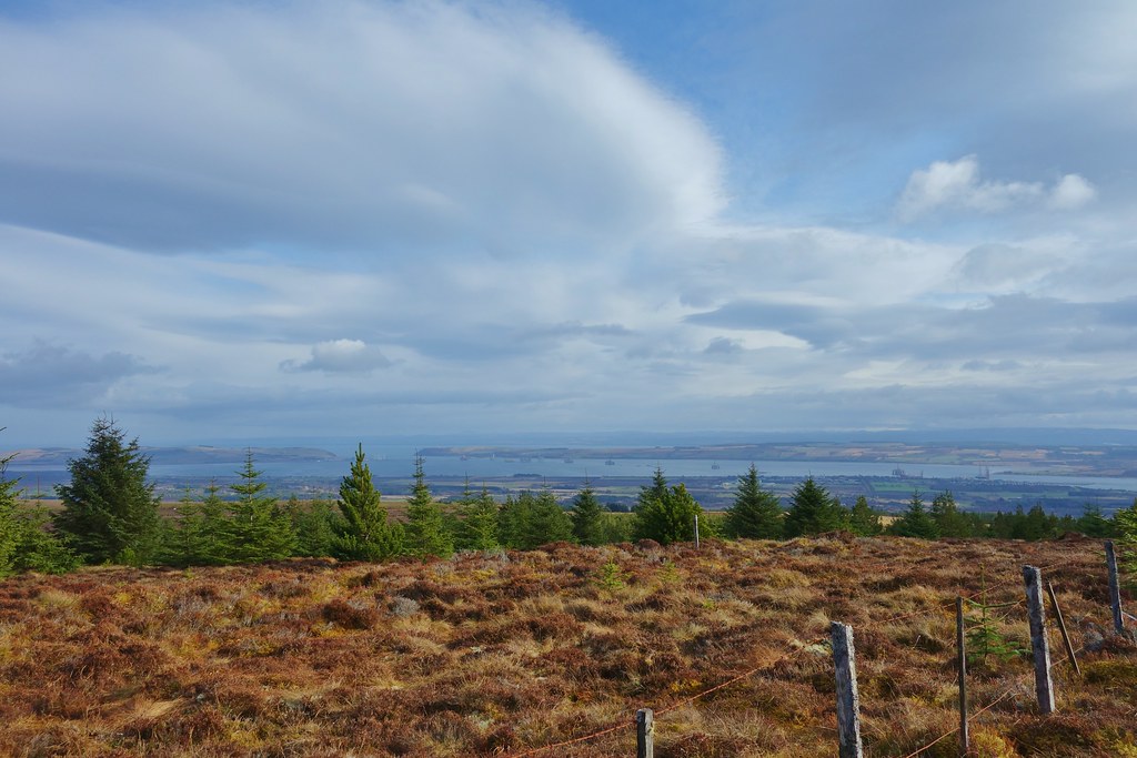
Just before the end of the trees we saw a track going off through the trees - a glutton for punishment I agreed to follow Malky a little further to get some views. To be fair to him, as we broke out of the trees the views did open out over the Cromarty firth

If it looked awful he agreed that we could go back to the track, but it didn't look too bad...
Invergordon
However, a couple of climbed fences and piles of heather later it seemed better to carry on than to go back... I've been over worse ground but generally not when there's a perfectly good track a few metres away

There was a large cairn where 3 fence lines met. This wasn't quite the summit but it would be a good spot to sit and enjoy some views and the sun

Hairy fence posts


Looking out towards Tain

The end of the firth, Cromarty and Nigg either side

We sat and enjoyed the views and the warmth for ages - it was so lovely to be able to sit out without freezing
After a while we walked a metres along the fire break to the real summit which was unmarked before being surprised by a fell-runner! I don't suppose she had expected to see anything there either
We followed her (at a much slower pace!) down the track that we could have come up
Again, it was much easier on the way down and I was glad I'd made the effort to try the 2nd hill. We plodded our way slowly back to the car before heading home
