free to be able to rate and comment on reports (as well as access 1:25000 mapping).
This easy walk to a magnificent Munro summit has rewards out of all proportion to the effort. But there’s a dearth of recent TRs for the route.
So, for anyone interested, I have added details that may help you find the way at a couple of key places. But overall, there is a clear path, and route-finding is very simple. Here's the map.
Although it was January, there was practically no snow on the hills, and just a slight frost in the glens. I drove up the minor road in Callander that leads past the golf course and the start of the Bracklinn Falls walk, and onto the open moor. I parked in a space near a row of wheelie bins, where the road forks into two private roads to the two farms (637107).
The morning sky looked beautiful - the promise of a good day!
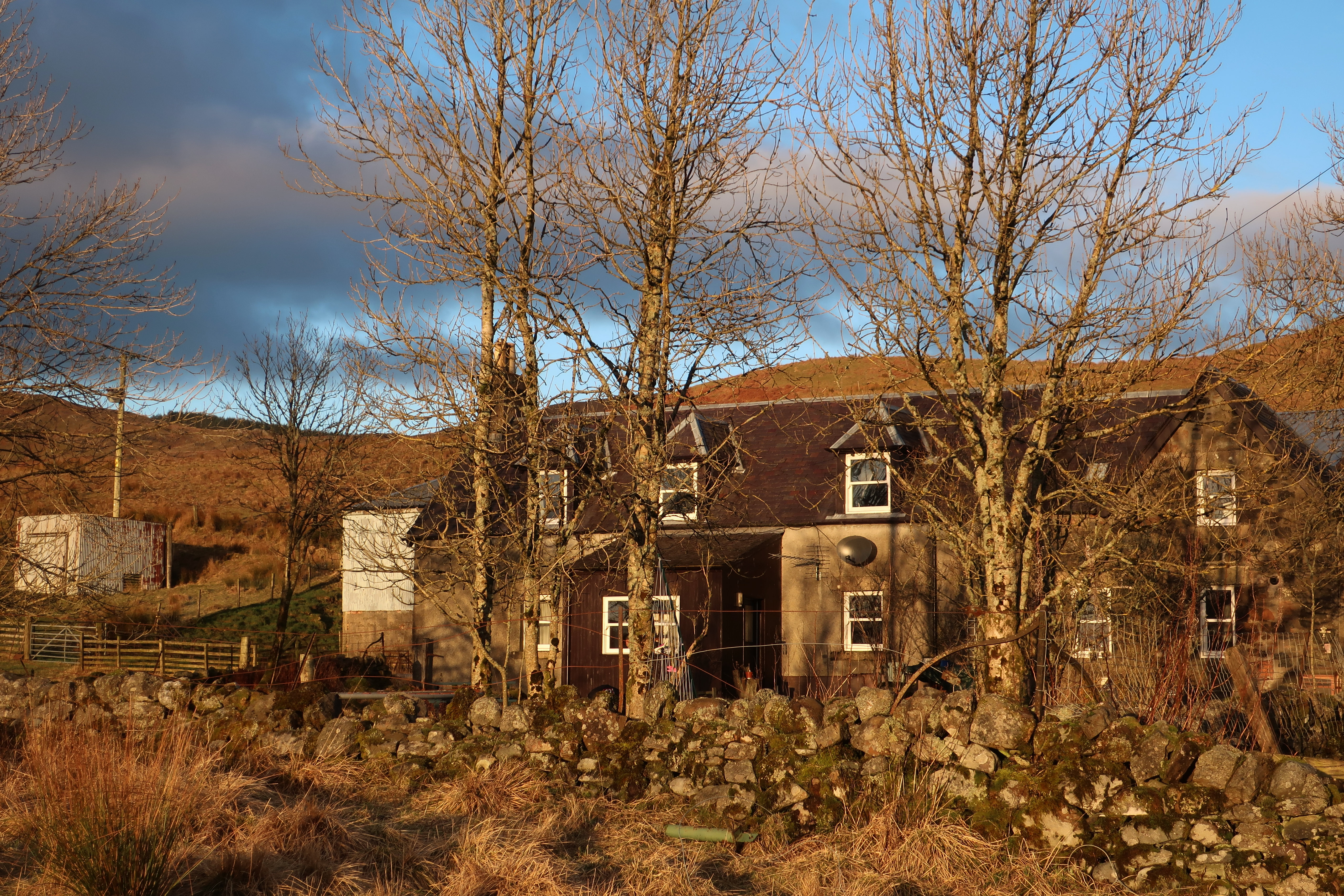
 IMG_5083
 by
Half Man Half Titanium, on Flickr
Braeleny Farm, and its surroundings, aka Little House on the Prairie
 IMG_5093
 by
Half Man Half Titanium, on Flickr
 IMG_5129
 by
Half Man Half Titanium, on Flickr
The track led me easily and quickly towards the hills, with Stùc a' Chròin looking fine in the distance.
 IMG_5133
 by
Half Man Half Titanium, on Flickr
TRs from a few years ago mention having to ford the river (or two!) because of a bridge collapse. There are now two new bridges to make life easier.
 IMG_5155
 by
Half Man Half Titanium, on Flickr
Keltie Water and the upper glen.
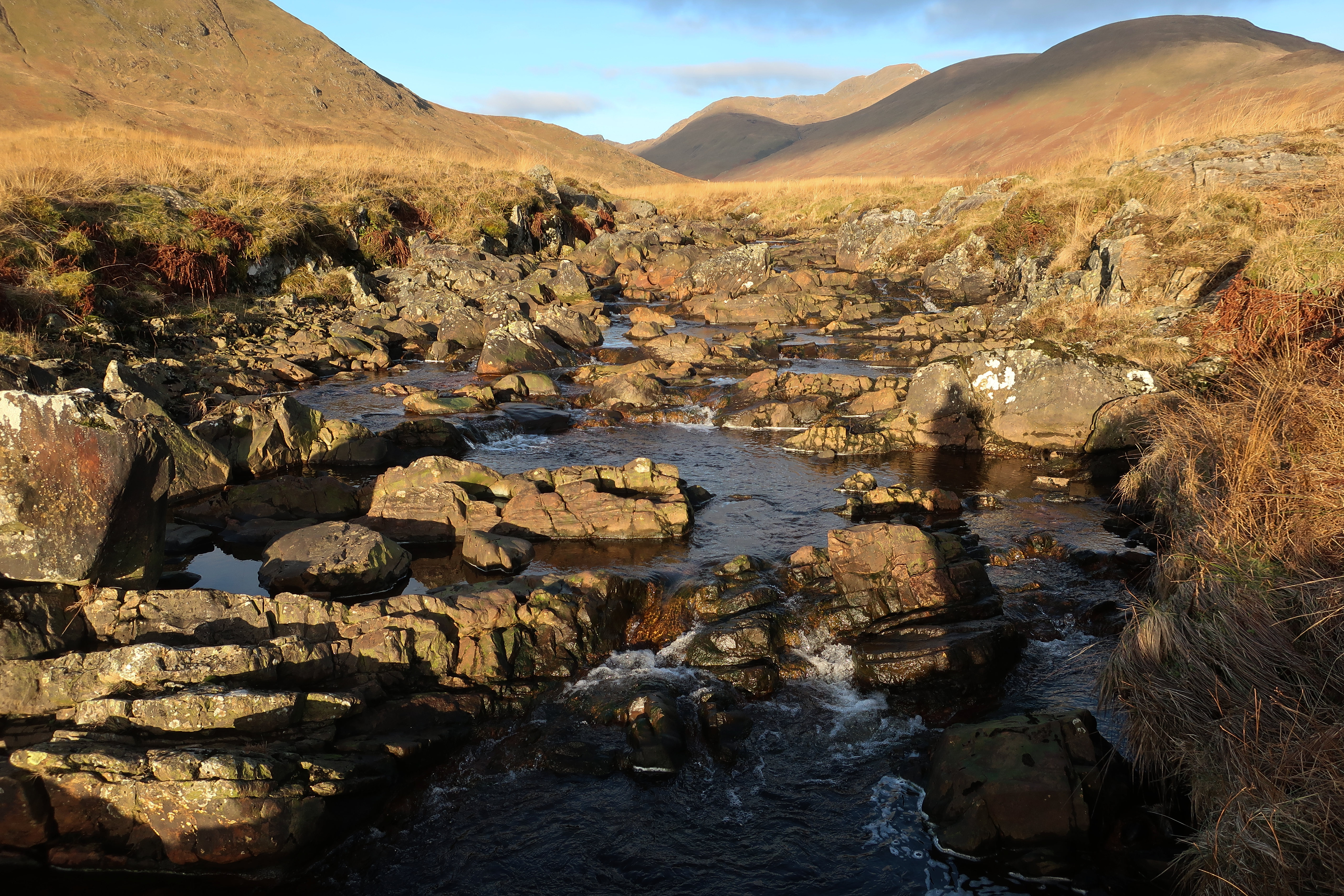 IMG_5176
 by
Half Man Half Titanium, on Flickr
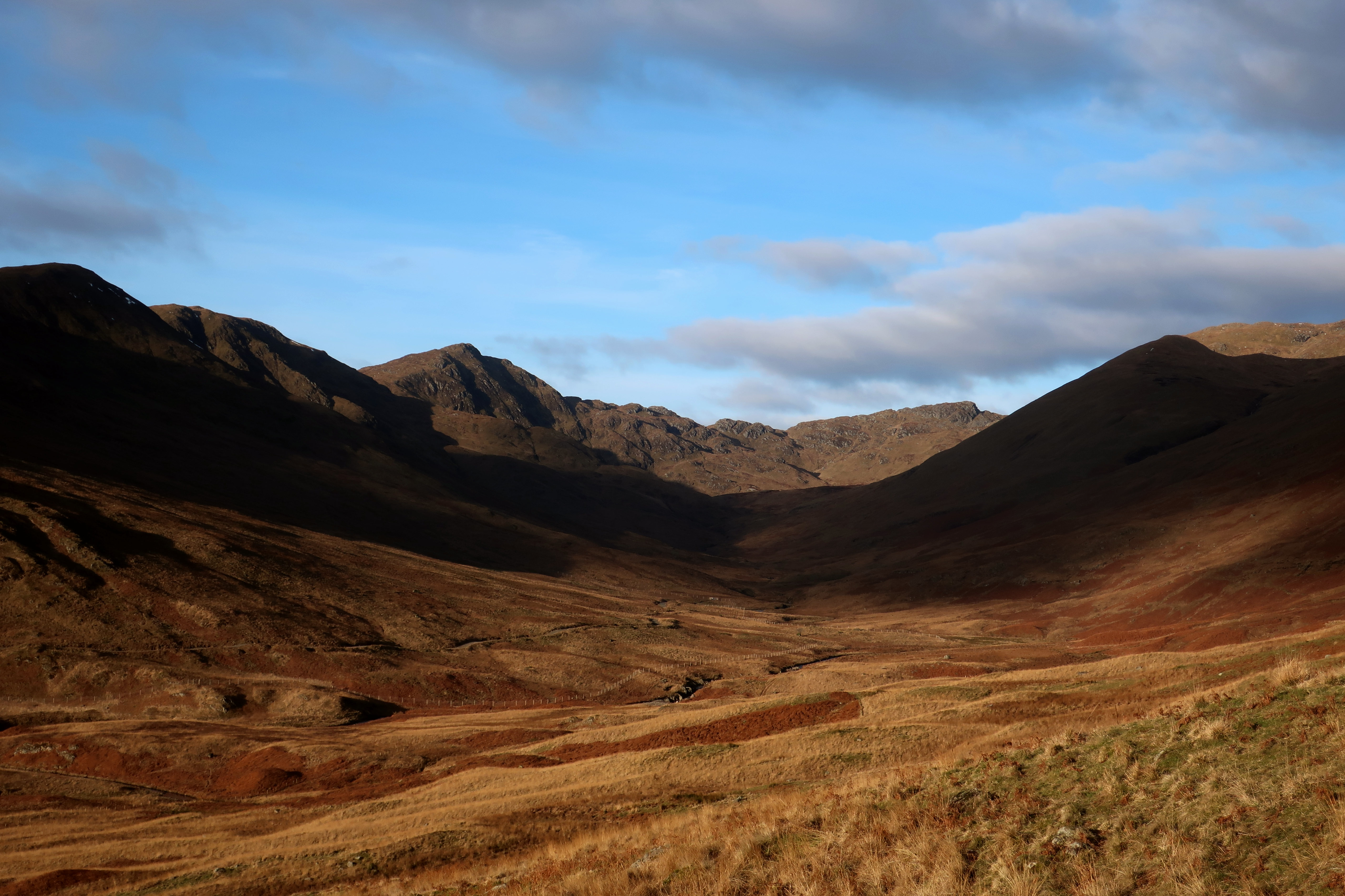
As the track turned away from the river, I had my first view of Beinn Each.
 IMG_5201
 by
Half Man Half Titanium, on Flickr
The track rises to the farm buildings at Arivurichardich. Here I left the track - going straight ahead in the photo below, into the old farmyard.
 IMG_5202
 by
Half Man Half Titanium, on Flickr
 IMG_5209
 by
Half Man Half Titanium, on Flickr
A faint path leads toward the ruined buildings ahead...
 IMG_5206
 by
Half Man Half Titanium, on Flickr
...but it is easier to go left, through this gap, onto an initially narrow but clear path.
 IMG_5211
 by
Half Man Half Titanium, on Flickr
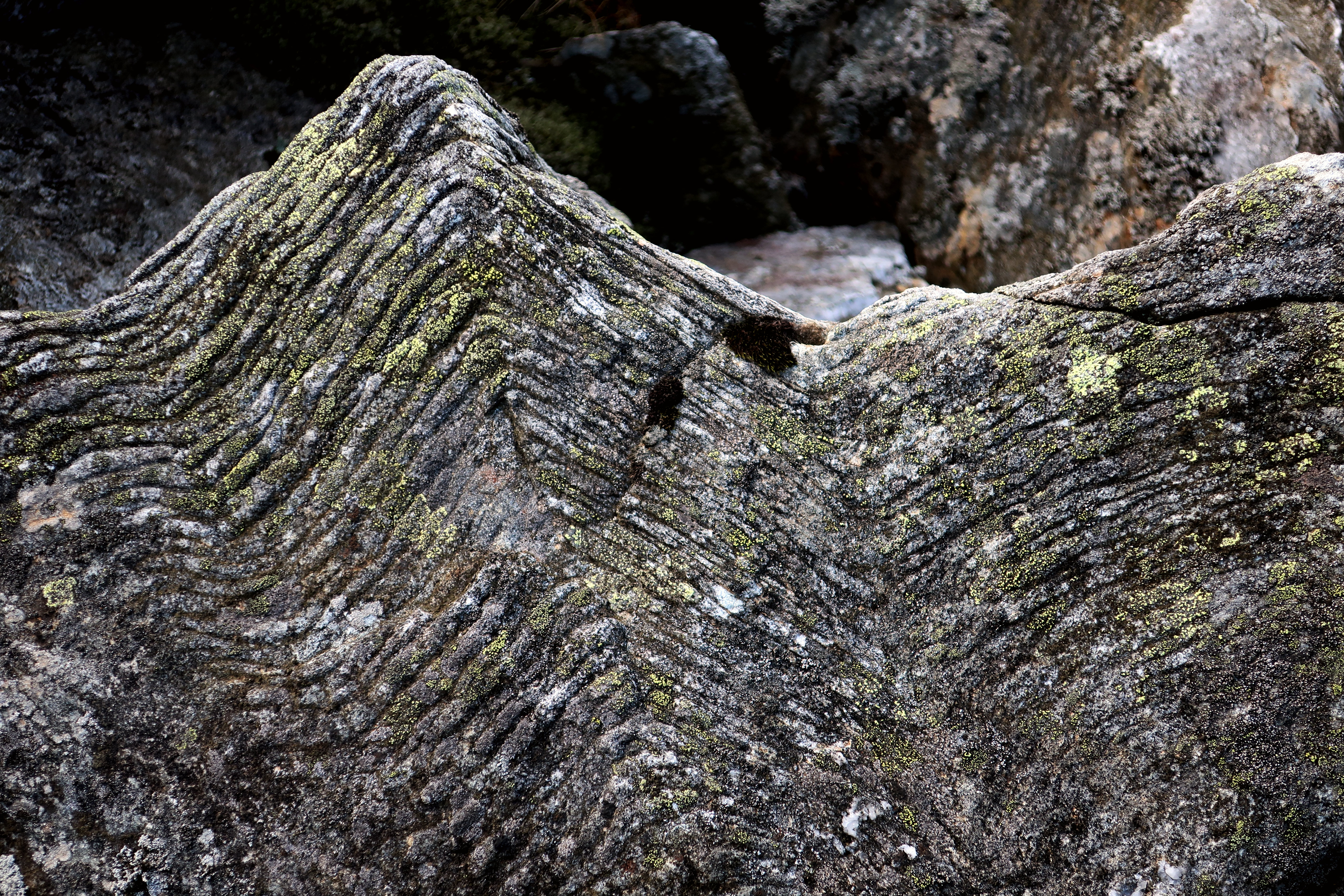
The path keeps level for a short distance, then rises to this prominent boulder.
 IMG_5234
 by
Half Man Half Titanium, on Flickr
This path is a delight. It's easy on the feet, and easy to follow, all the way to the final summit slopes of Stùc a' Chròin. It begins by contouring below a new-looking fence, with great views of Beinn Each...
 IMG_5245
 by
Half Man Half Titanium, on Flickr
...Ben Ledi above the reservoir below the farmyard...
 IMG_5232
 by
Half Man Half Titanium, on Flickr
...and the head of Gleann a'Chroin.
 IMG_5235
 by
Half Man Half Titanium, on Flickr
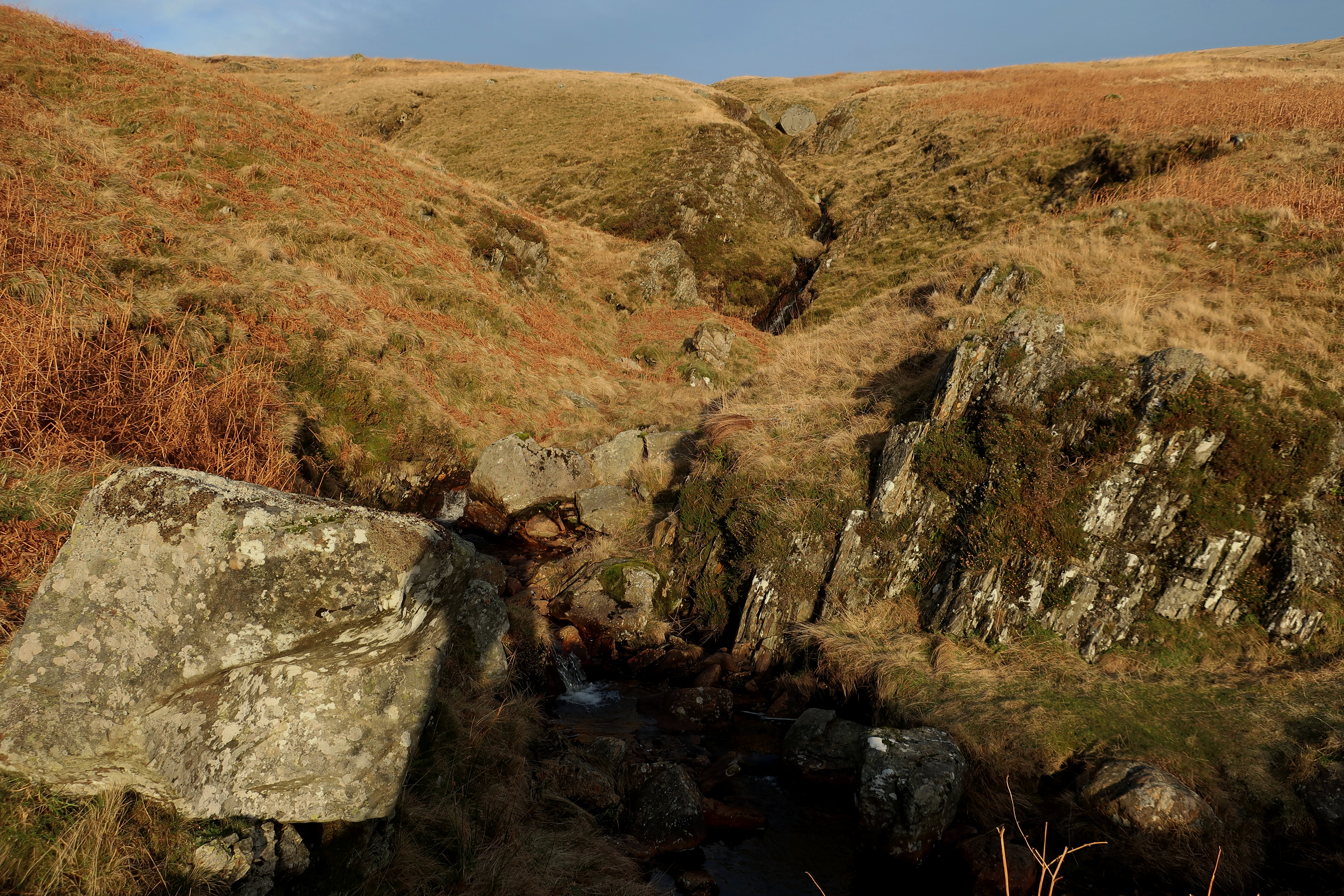
The path led to a stile near a gate, then crossed a stream at this charming little ravine.
 IMG_5436
 by
Half Man Half Titanium, on Flickr
The stream drains the Bealach Beag-Laraich, which is a broad area of peat hags. Beyond the ravine, the path goes a little uphill, alongside the stream, then sensibly turns left to avoid this soggy area. Instead, it climbs a short steep grassy bank, beyond which a steady plod took me to the rounded top of Stiol nan Tarbh (only named on the OS 1:25000).
The sky was now more grey. But this prominent rock near the 709m spot height was still a good place to pause and look around. The view was now much wider.
 IMG_5274
 by
Half Man Half Titanium, on Flickr
The Forth valley, Dumyat and (far right) the Wallace Monument.
 IMG_5281
 by
Half Man Half Titanium, on Flickr
Western giants - Cruach Ardrain, Stob Binnein and Ben More.
 IMG_5276
 by
Half Man Half Titanium, on Flickr
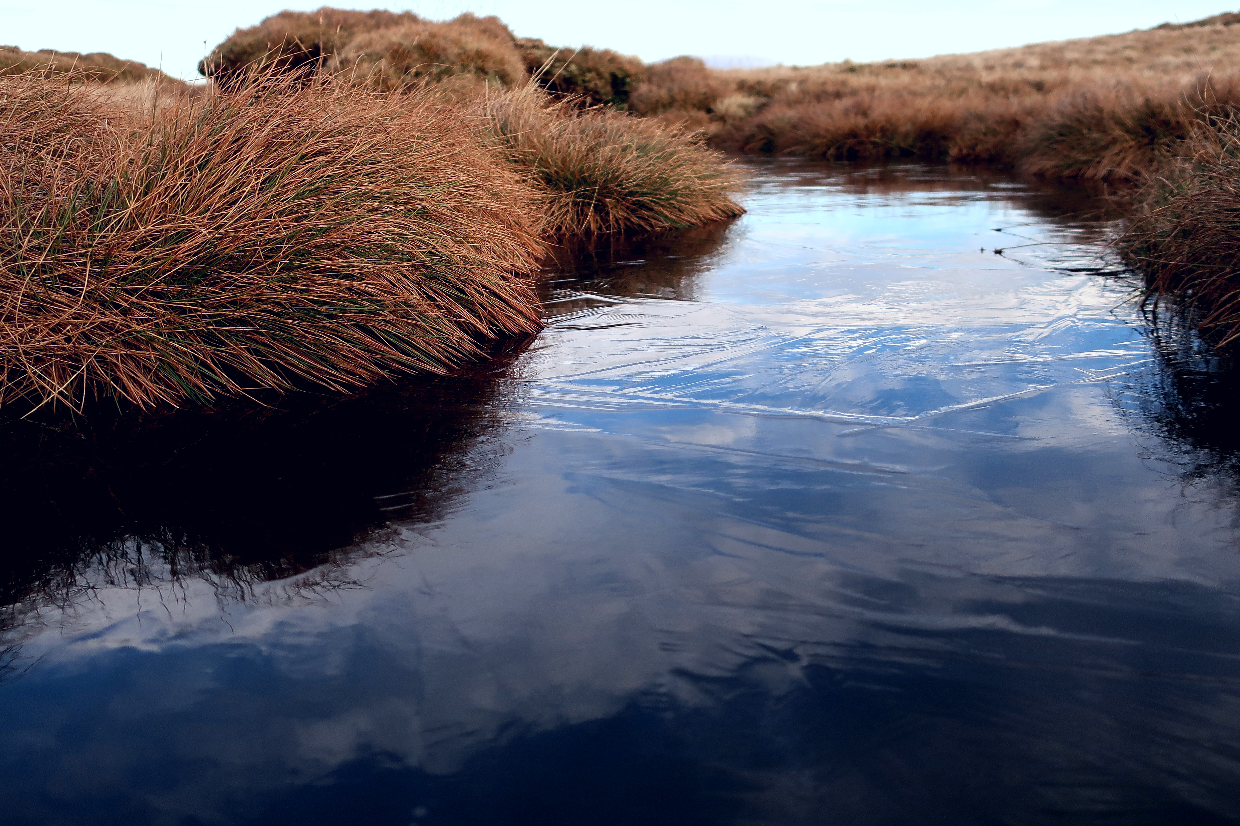
The ridge from here was an easy stroll, following the fine path, past the odd interesting icy puddle, with Ben Vorlich and the grand eastern flanks of Stùc a' Chròin in view ahead. In the first photo, the distant hill beyond the bealach is Meall Ghaordaidh.
 IMG_5288
 by
Half Man Half Titanium, on Flickr
 IMG_5418
 by
Half Man Half Titanium, on Flickr
 IMG_5311
 by
Half Man Half Titanium, on Flickr
 IMG_5315
 by
Half Man Half Titanium, on Flickr
The ridge (Aonach Gaineamach on the OS 1:25000) gives fast progress to where the final summit slopes of the hill start to rise more steeply, above the massive leaning boulder in the snow at the bottom right of the next photo. It was a good spot to stop and admire the winter sky. Although I could faintly see parts of the faraway southern uplands, my eyes were drawn to the distinctive outlines of Meikle Bin and tiny-looking Dumgoyne in the Campsies.
 IMG_5324
 by
Half Man Half Titanium, on Flickr
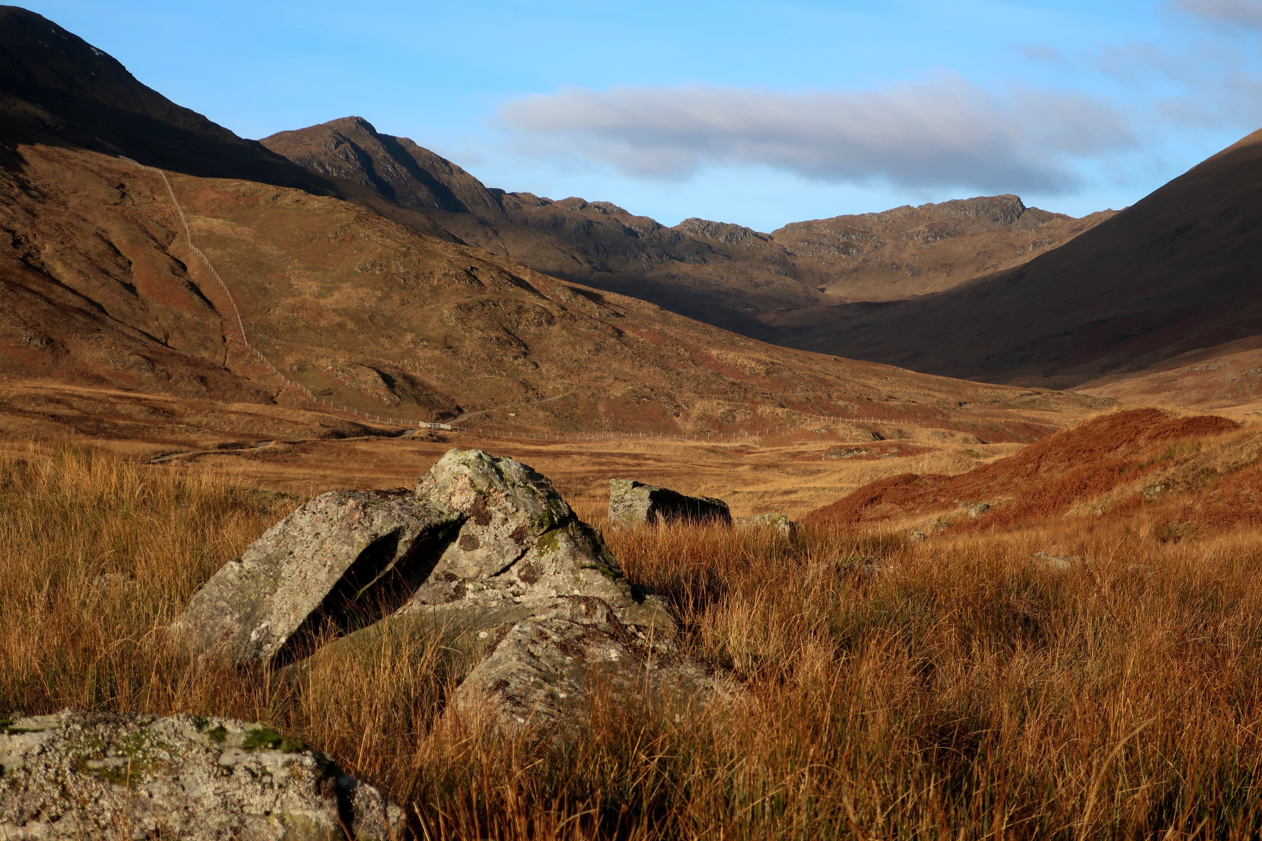
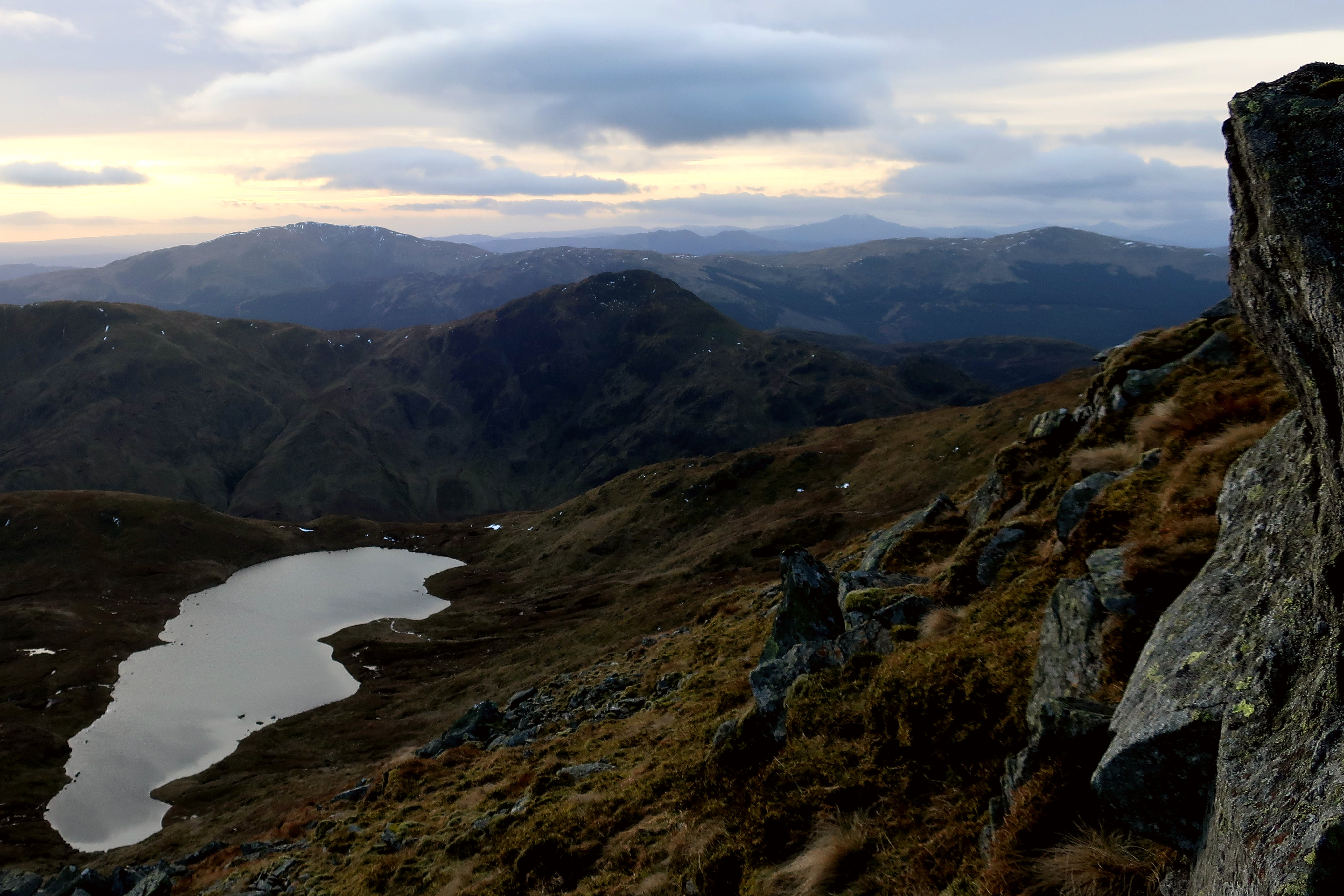
Along the ridge, there had been tantalising glimpses of Lochan a'Chroin in its secluded basin. I decided to clamber up the contorted rocks on the left, to get a better view of it.
 IMG_5326
 by
Half Man Half Titanium, on Flickr
Ben Lomond in the distance
 IMG_5342
 by
Half Man Half Titanium, on Flickr
I soon reached this prominent pointed rock, from which easy slopes led to the summit.
 IMG_5343
 by
Half Man Half Titanium, on Flickr
But, for anyone who has enjoyed the grassy path so far and wants the easiest way to the top, then take note of this boulder (the one with my sticks on it) in the photo below. It is by the path, at the very foot of the summit slope, near the big leaning boulder I mentioned earlier.
From here, go up the slope, following the easiest line on grass by zig zagging past the rashes of stones. The continuation of the path can be seen in the photo, just below the skyline and directly above the handles of my sticks.
 IMG_5404
 by
Half Man Half Titanium, on Flickr
As soon as you pick up the path again, you are nearly there - there is a fork in the path, and the right branch leads almost immediately to the summit cairn. The quartz stone made it look like a lighthouse as I approached it.
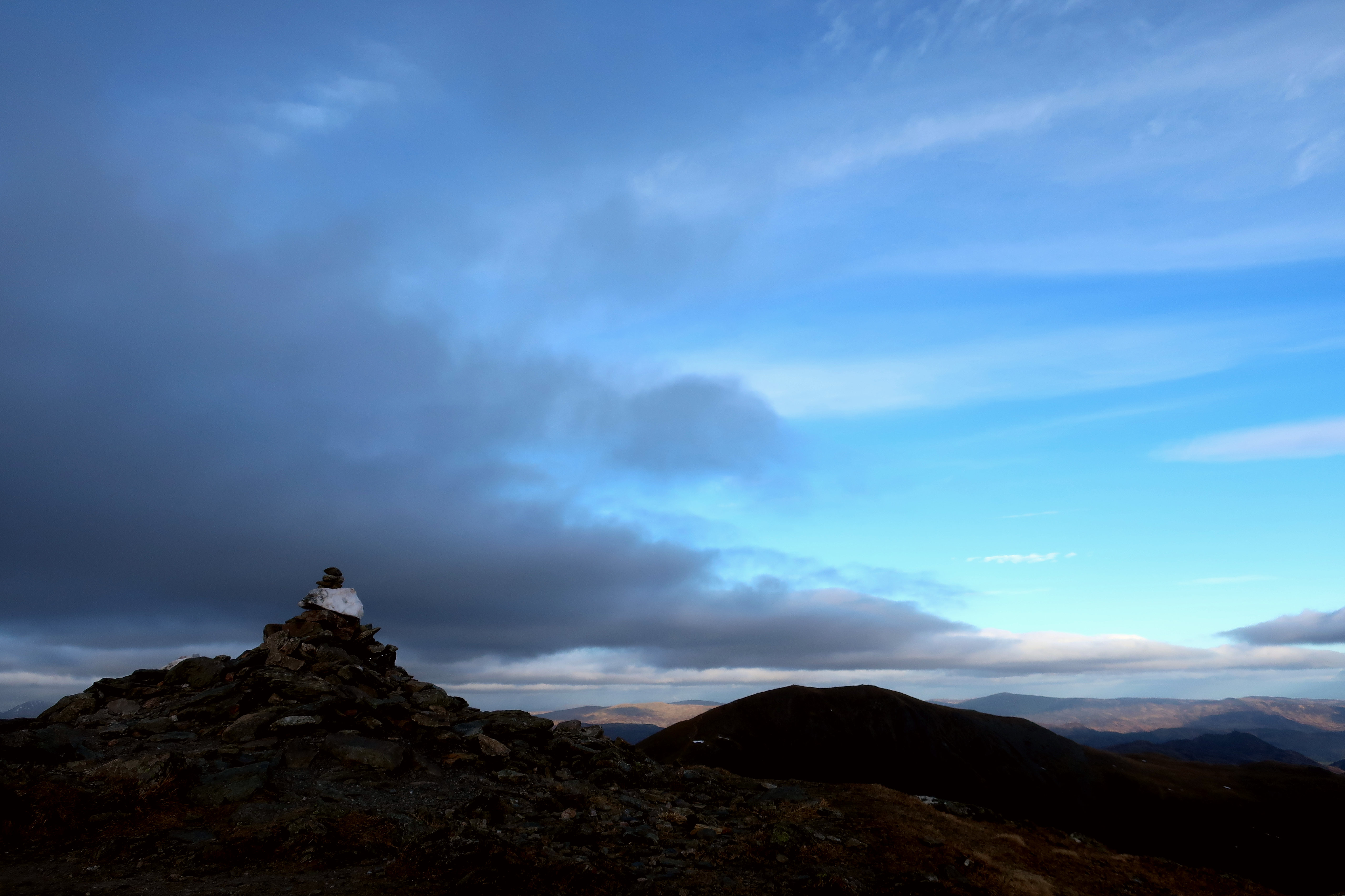 IMG_5382
 by
Half Man Half Titanium, on Flickr
Summit views
 IMG_5355
 by
Half Man Half Titanium, on Flickr
 IMG_5377
 by
Half Man Half Titanium, on Flickr
 IMG_5374
 by
Half Man Half Titanium, on Flickr
The western cairn, with all seven of the Crianlarich munros (well, parts of them) visible beyond.
 IMG_5353
 by
Half Man Half Titanium, on Flickr
The return to the car was easy, and the sun came out a bit as I descended. This photo shows, on the left, the ravine that I mentioned. The path, just beyond it, can also be seen.
 IMG_5428
 by
Half Man Half Titanium, on Flickr
Looking back to Stiol nan Tarbh
 IMG_5434
 by
Half Man Half Titanium, on Flickr
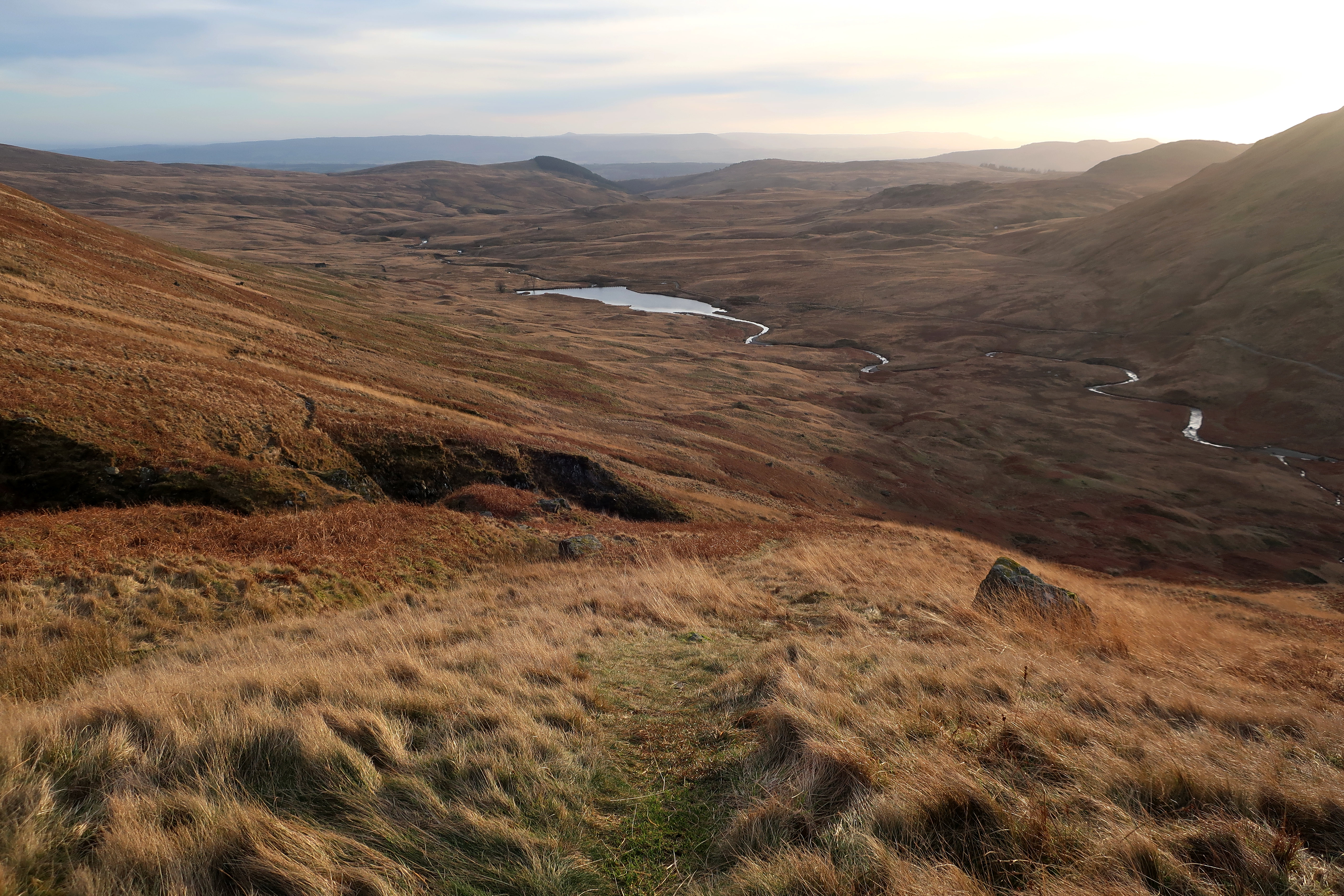
The reservoir again
 IMG_5444
 by
Half Man Half Titanium, on Flickr
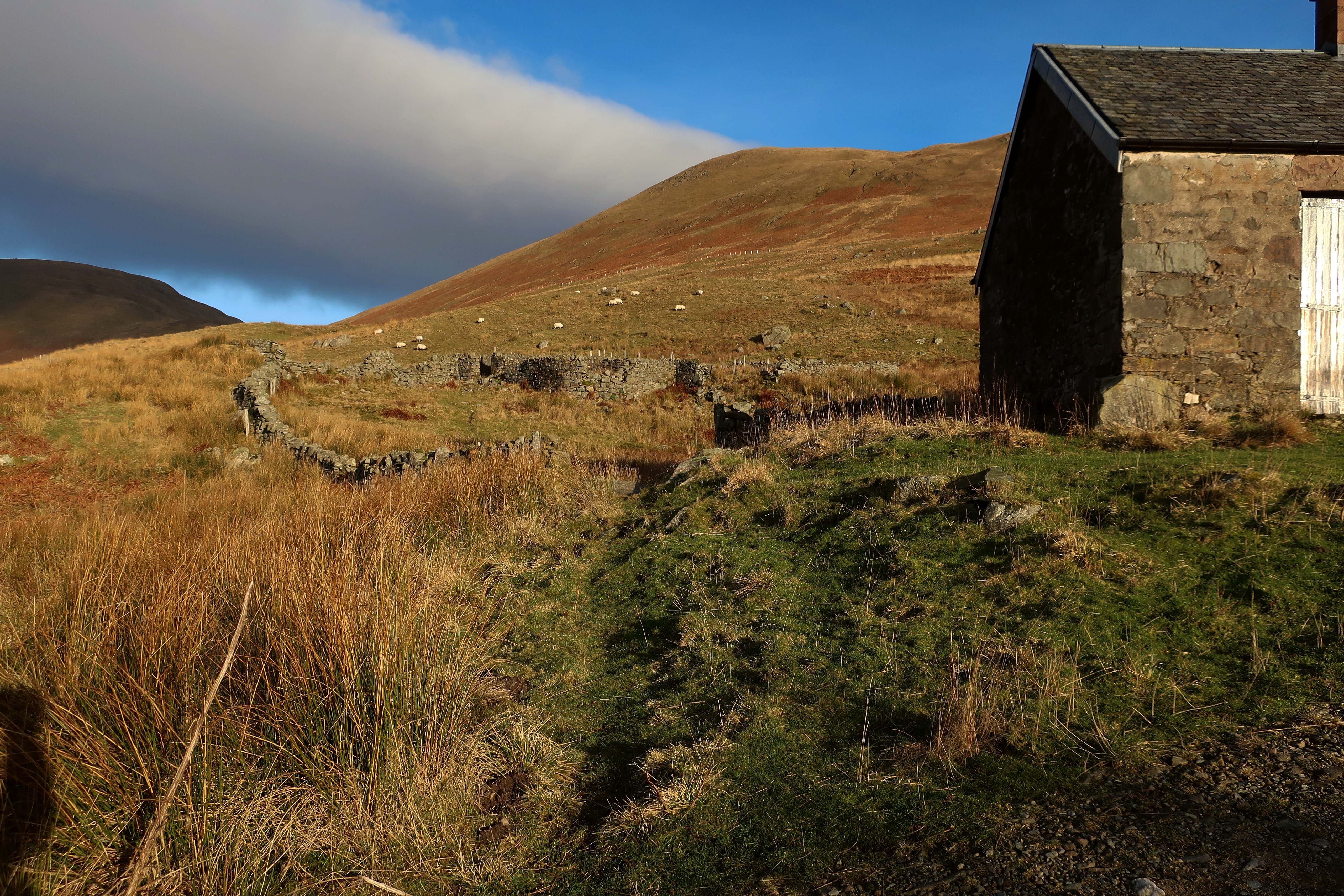
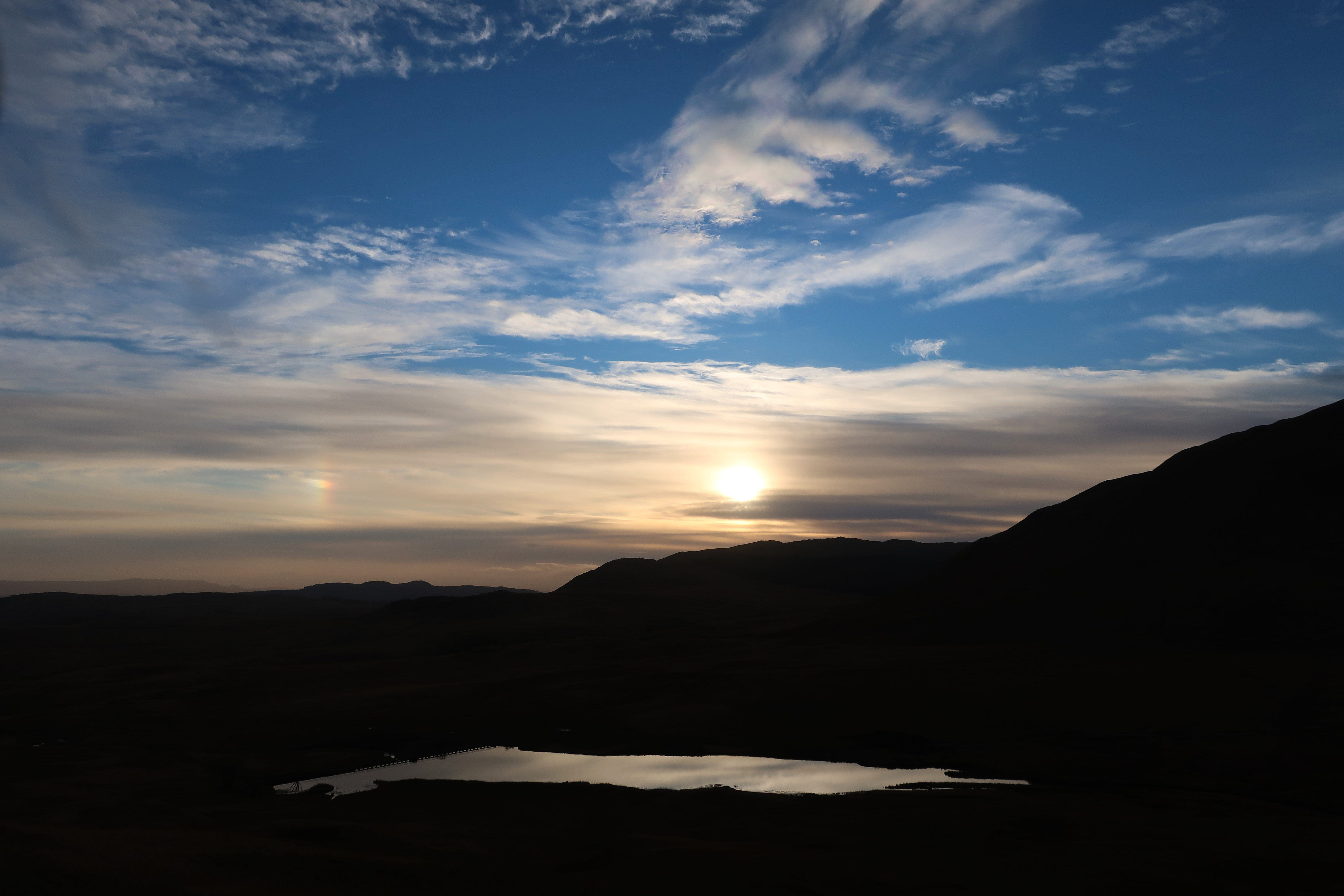
Sunset near Braeleny Farm
 IMG_5459
 by
Half Man Half Titanium, on Flickr
The end of a perfect day.
 IMG_5465
 by
Half Man Half Titanium, on Flickr
