free to be able to rate and comment on reports (as well as access 1:25000 mapping).
It's been a long and awful winter, for so many reasons, and just when I was at least hoping to escape the doom-and-gloom of Covid, someone decided to start a war.

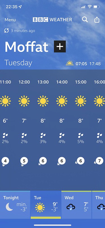
So I was really feeling quite down, when I saw a weather forecast that predicted great sunshine for Tuesday and Wednesday. I had a couple of days annual leave left over from last year that need to be used up soon. Maybe this would be the time to start hillwalking again? Is Spring about to spring at long last?
Yes!


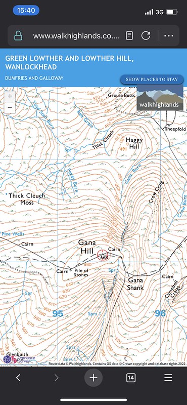
I've had this walk in my head for a while, and this was the perfect day to go for it. I've never properly got into Donald-bagging before (even though I come from Prestwick and you can see a few of them from the beach), but March strikes me as the optimum time to climb them. It's too early for me to think about Munros, but the days are just about long enough to link a few Donalds together. And there's no better place for that than the Daer Reservoir.

I arrived at Kirkhope Cleuch at 10:45am, after getting a bit lost on the minor road and nearly ending up in the waterworks area. The weather was exactly how I'd hoped: still, sunny and clear. I followed a faint path up the side of the forest towards Comb Law.
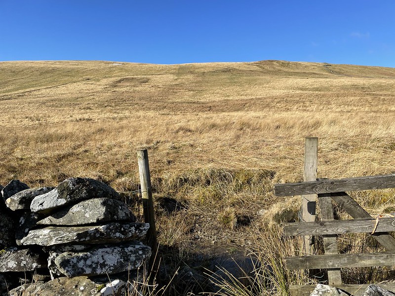
There are a couple of dry-stone walls with some gaps/gates dotted along them, then the climb begins in earnest. Unfortunately the last barrier was a barbed-wire fence, and I couldn't be bothered walking North to the wall and coming all the way back, so I ended up with a couple of (tiny) tears in the waterproof trousers.

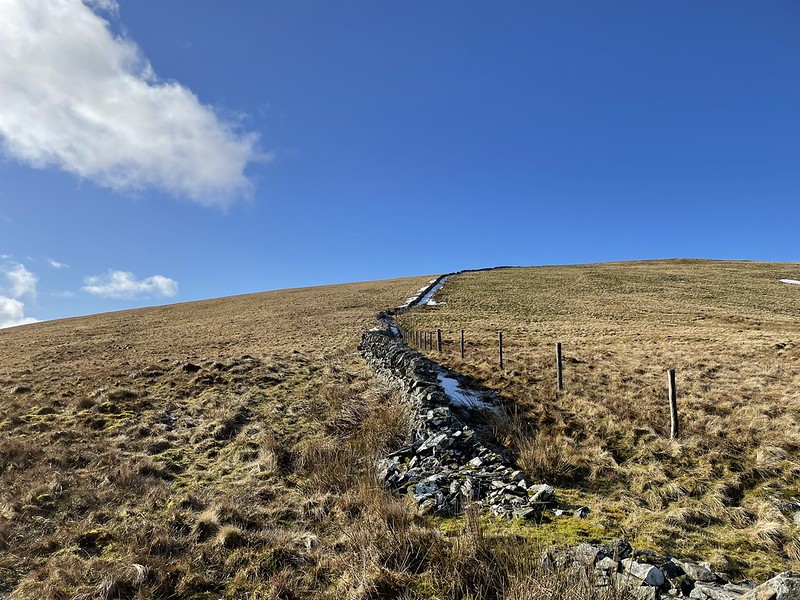
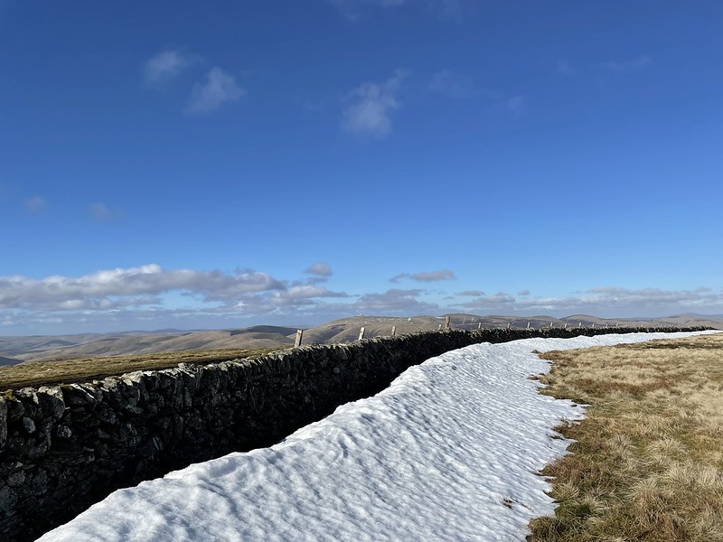
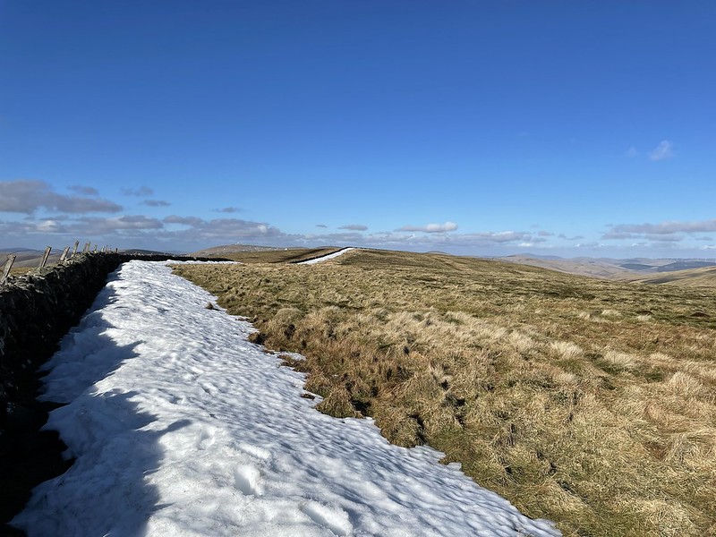
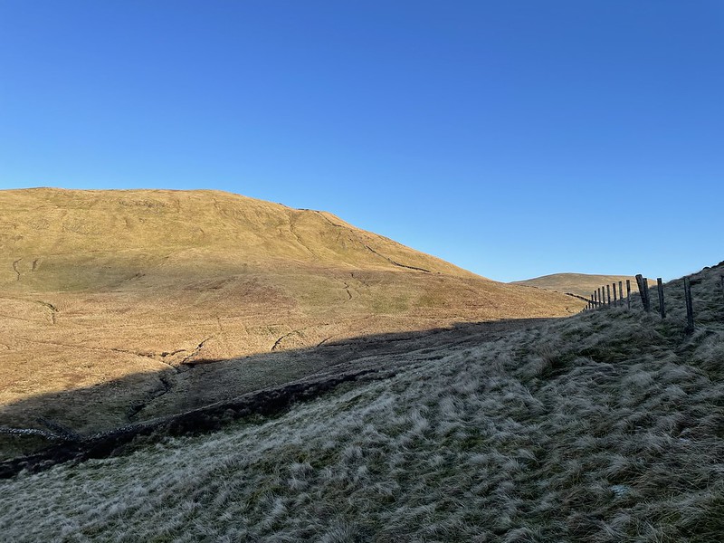
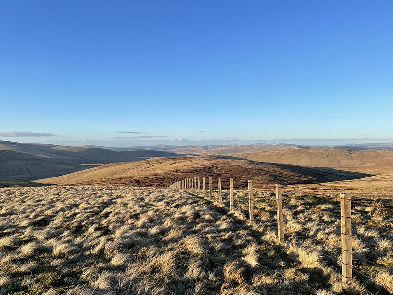
With the steepest climb out of the way, the route led up by the dry-stone wall towards the summit of Comb Law. There were a few small remnants of the huge snowfall from last Thursday.
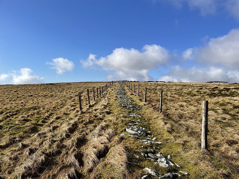
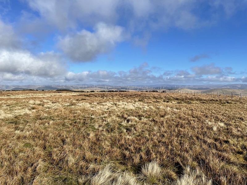
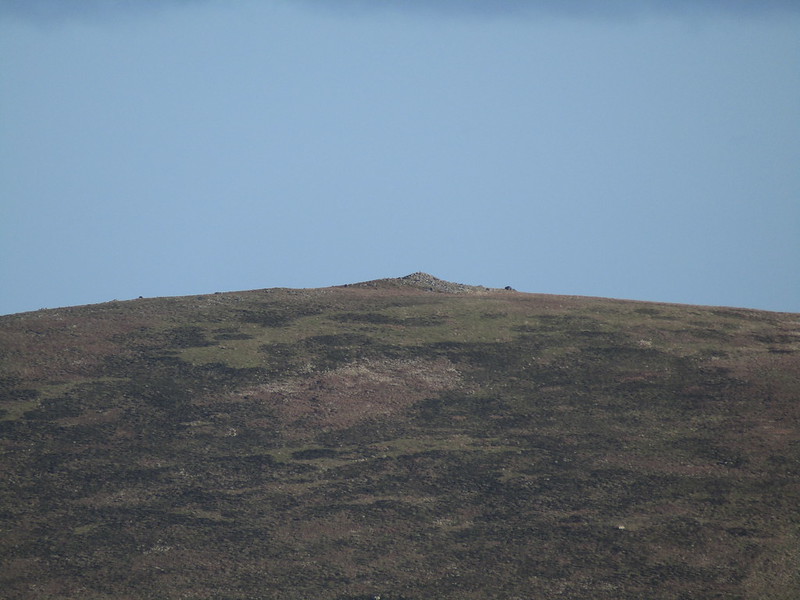
Most summits today would look like this: very, very wide and flat, with no cairns and a bit of a guessing game to find The Real Summit.


Was that it, at the meeting of the fences? No, OS said I would have to clamber over one of them and head Southwest a bit.
Um, ok. The first summit, I think! An hour after leaving the road, I was off and running for 2022.

1/6.

The most prominent hills were the main Lowther group to the North that I remember from 2010, with all the masts and buildings and the weird golf ball thing.

The next hill actually isn't a Donald, but I figured I wanted to climb Rodger Law, as it might give a good view of the reservoir (and also it's only 1m lower than Ballencleuch Law, so if it ever gets re-surveyed it might become the Graham...) This was a trickier section, as I tried to cut away from the fence and ridgeline, and ended up regretting it, losing a bit too much height and ending up in a load of gullies.


And oh yeah, some ice.

There was a small bridge and a faint path leading up the hill, but it disappeared quite quickly. This was a steep but short climb up towards the top of Rodger Law.
Lovely...

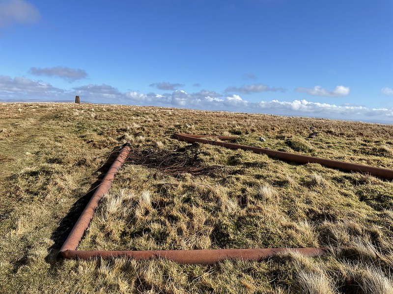
The only trig point in the whole day, although I thought the real summit was a few metres Southwest.
Rodger Law is a Donald Top, but the day before I went I also discovered a different concept on another site, known as New Donalds. It appears to be the 89 Donalds plus another 30 (presumably taken from the most prominent Donald Tops). I love lists, but I can't say I'll ever go all in for the New Donalds. Apart from anything else it would mean having to go back to Cairnsmore of Carsphairn and Lowther Hill, and if WalkHighlands never recognise them I don't think I will. Imagine if someone finally compleated the Munros and was celebrating in e.g. Tobermory or Fort William, when someone came up to them and said, "Excuse me, just to let you know, they've just increased the number of Munros by 25%. It's going to be called the 'New Munros'..."


There was actually no view of the reservoir from the true summit, but time was of the essence if I wanted to climb all six, so instead of heading East down the hill I turned back towards Ballencleuch Law.

Huh?

It's a very pleasant walk from Rodger Law to Ballencleuch Law, and I reached the highest summit of the day 2 1/4 hours after leaving.

It seems to be this extra fencepost (I think).

2/6.


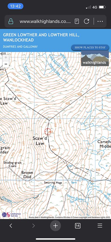
The next hill is Scaw'd Law, which has twin summits at 663m, so I detoured off the faint track to the right to try and find the first one.
Eh...there's no cairn. Again. This seems to be a common theme with Donalds.

I climbed on top of the snow but that was about it.
2.5/6?
A short walk later I was at the second summit, and guess what? No cairn there either!

3/6.

There was a track leading down from the second summit (unmarked on the map), and very quickly this lead to a junction with the main track (which is on the map) leading towards the summit of Wedder Law. On another track over on Glenleith Fell there were two blokes in a car. I couldn't tell if they were staring at me or not, so decided they were probably folk from the estate checking out the route of "grouse butts" (I had thought they were a Highlands thing?)

This was the best track of the day, and made the climb of Wedder Law more straightforward. I would later discover that Glenleith Fell is actually a Donald Top as well (although maybe not a "New Donald"...) Oh well, I wouldn't have had time anyway! It was already passing 2:30pm, it would be getting dark around 6pm and I had a long walk ahead of me.

4/6.

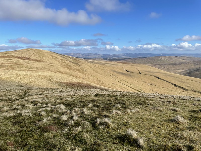
Rodger Law and Ballencleuch Law.
Wedder Law is Decision Time if the day is getting a bit long. The good track leads down towards the Daer Reservoir and back towards (the fringes of) civilisation), or you can strike off into ye wilds and go for Gana Hill and Earncraig Hill. A few people on here have actually climbed all seven Donalds in the Souther Lowther group, but that involves an enormous walk back from Queensberry. I had already climbed Queensberry in September 2020 (in a stolen afternoon between lockdowns), so my aim was to reach Earncraig Hill then get back to the car as quickly as possible.

The view opened up towards Criffel, Dumfries and (faintly, just about) England.
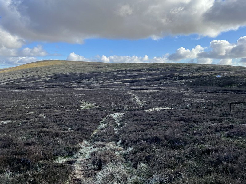
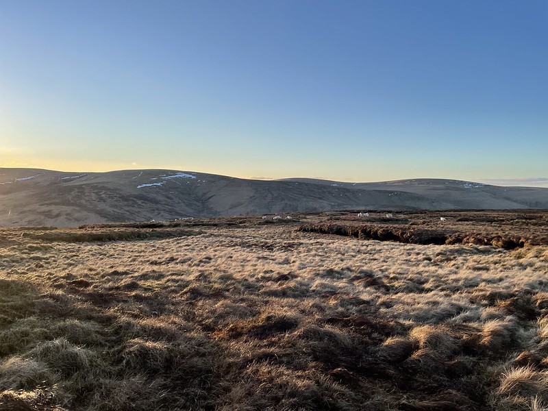
This whole route is pretty remote, but the next bit was properly stepping out to the wilds. It clouded over as well, and the ground wasn't great, so the mood changed a bit here.
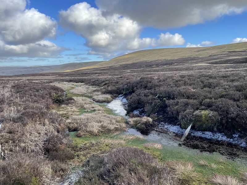
The map said 117m re-ascent from Wedder Law to Gana Hill, so at this point I just ploughed through it. It's a long way to come back for Two Donalds...

Dunno what that is.

Aha! The sun returned as I reached the ridge of Gana Hill (no connection to the country: at least I don't think so).

Another track (something to do with grouse again?) appeared at the summit, having come from the other side. The summit is the small pile of rocks right next to it.
5/6......
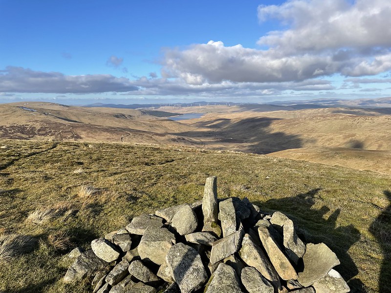
Another cairn looks North. Weirdly this was one of my only glimpses of the reservoir the whole day, even though the route surrounds this reservoir.

Criffel.

This confused me when I looked back at the photos, because it looks like three huge masts have appeared on Wedder Law in the last hour. Turns out they're the Green Lowther masts several miles behind it. As optical illusions go, it's hardly the Electric Brae, but it puzzled me anyway.
The massive Queensberry summit cairn.

The surreal Lowther Hill.

Ah, thought I would have to encounter proper snow at some point. At least this was brief.


Earncraig Hill and Queensberry.
It's a long, long walk round from Gana Hill, still following the fence, but Earncraig Hill would be a good reward, as it's probably the most dramatic of the six.

A check at the map suggests that this is the "Daer Head", also known as "Daer Hass" (almosts sound German). Which would potentially make this the source of the Clyde? Technically, anyway?

It's only 109m from Daer Hass to the summit of Earncraig Hill, but my goodness it's steep. And at this point in the day it made even more of an impact on me, so photos were out of the question during the final climb(!)

Finally!! I need a seat. It looked like the summit cairn was on the other side of a barbed wire fence, but no way was I climbing that twice. I tapped the cairn with the walking stick then sat down on a bit of ground to the left that actually looked higher anyway.

6/6(?!)
All that remained was to make it back to the car, and oh dear. Whatever you do, don't go the way I did. I wanted to return to Daer Hass and head down to the track near Daerhead, but I couldn't face the thought of descending down that slope again. I figured the views would be great towards Daer Reservoir if I headed straight down Lamb Hill. It was a long walk to the track going this way (about 4.5km...), but it looked inviting from the map.
Instead, it was an endless assault course of peat hags. Some of them were frozen, and in some cases this actually helped, but other times it made it tougher. Progress was painfully slow, and it was getting cold. Oh, and dark.
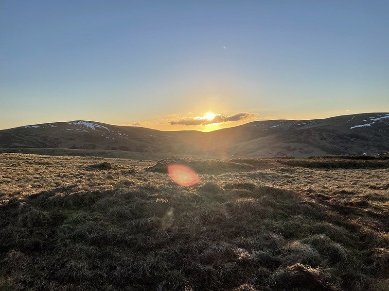
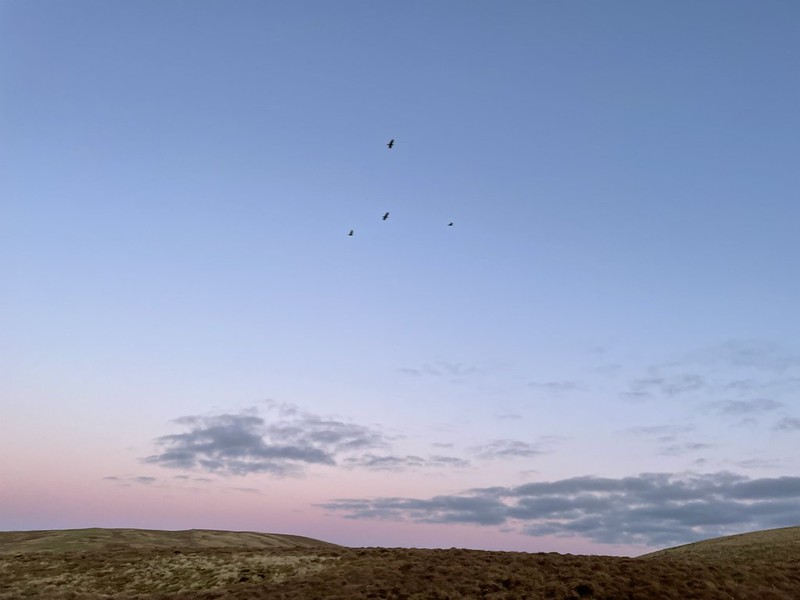
Sunset makes for nice photos, but I'd rather not be several kilometres from the nearest road.
I had absolutely hit the wall by this stage, but there was no option but to keep going. There must be a hundred sheep on this hill (clue was in the name "Lamb Hill", in hindsight) and they all ran a mile when they saw me. I followed the fence (that had doubled up as the border of South Lanarkshire and Dumfries & Galloway since Scaw'd Law), until it darted to the right somewhere between Lamb Hill and Over Law. I just carried straight on, where thankfully the peat hags weren't as bad as on Lamb Hill. There was a trace of a path now to avoid the worst bits.

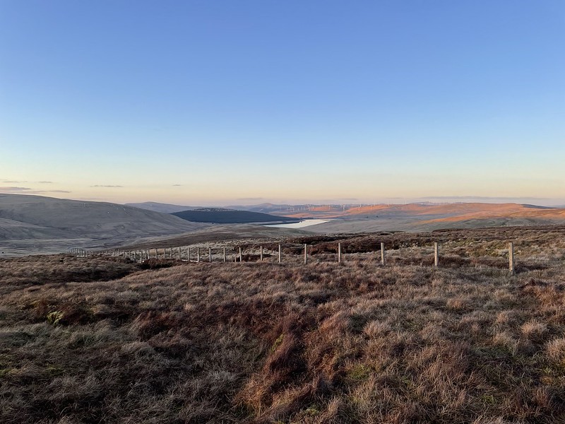
I finally caught sight of Crookburn Farm just after 5:45pm. That song by The Farm ("All Together Now") started playing in a loop in my head, which annoyed me even more, because I don't actually like it. Still, the views were amazing.

Past Over Law now, and just Nether Law remained. I could see a faint track heading over Nether Law, so I decided to aim for that, rather than heading left towards the wall.

A fence appeared that wasn't on the map. Hope I'm not lost at this stage...?

Phew! The farm, the road and the reservoir. It's all still there after all. I was starting to think I'd end up living in this wilderness and turning feral (maybe preferable, considering everything?)
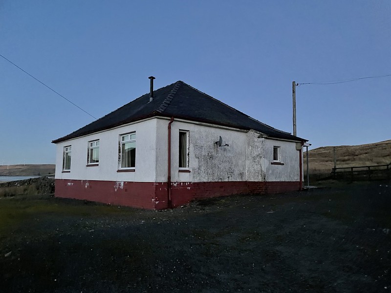
I was nervous about walking through the farm at this time of night, but to my surprise it seemed to be completely abandoned. Don't know who tends to the sheep (some of them were painted so presumably there's a farmer somewhere?)
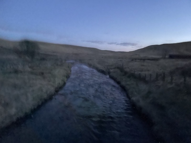
This is why I didn't fancy a river crossing. The Daer only begins up at the Daer Hass watershed near Earncraig Hill, but this area gets a ton of rain and it builds up a head of steam quickly.

Don't think I've ever been so glad to see a road.

Pre-1996 sign there.

The view of the stars was amazing. Absolutely no light pollution round here.

Comb Law! That feels like about three days ago now.

It was actually very warm up on Ballencleuch Law at lunchtime, but you wouldn't know it now!

Two big lights appeared on the Lowther Hills (presumably the massive golf ball thing and one of the masts).
It was a great day, and long overdue. I'm going to aim to climb as many hills as possible in 2022, because after everything that's happened / is still happening(!), I figure I'm going to need a distraction. I also want to eat a lot more curry in 2022, and I need the excuse of having climbed loads of hills before each one. Something to do with supply and demand, I think...

