free to be able to rate and comment on reports (as well as access 1:25000 mapping).
I had a bad habit of underestimating the Galloway Hills, thanks to a few sunny walks on and around the Merrick in my teens and 20s. So this white-out round the crags of Bennanbrack, head down in map and compass, was a good reminder of their testing other-worldliness on a tougher weather day.
A pal had come up for a visit from Sussex, and was walking some of the Ayrshire coastal path (basically to leave me in peace during the working days). So on the Saturday, released from my shackles, she agreed to a walk up Lamachan Hill with me. I was keen to see what it was like on this side of Loch Trool, after looking at the hills from walks up Craignaw and Cairnsmore of Fleet etc over this past year.
We parked down at the Caldons car park, headed on to the path and crossed the burn.
 001 Crossing Caldons Burn
 Avoiding bracken bashing, and also basically missing the possible track off to the right, we carried on the main path til it brought us above Loch Trool, and then headed up south to re-find Caldons Burn. Planting around here seems to include oak.
 002 Oak tree whips
 For some reason I was expecting the walk up beside the burn to be a less avoidable bracken-bash, so was very pleasantly surprised to find it's just a really lovely walk with springy terrain underfoot.
 003 Walking up beside Caldons Burn
 Though you do sometimes need to watch your balance


Less pleasing was the view back north, where the Merrick should be. All was shrouded in low cloud, so it was to be an atmospheric walk today if not exactly a scenic one.
 005 North to Buchan Hill - Merrick behind in mist
 As we rose out of the trees beside the Mulmein Burn, a branch that feeds the Caldon, things weren't looking much better, and there was no choice but to plunge on into that thick cloud.

 006 Beside Mulmein Burn - Lamachan ahead in mist
 We could just make out the wall in the distance, so we headed for the top corner of that, which would take us pretty much to Lamachan Hill's top.
 008 Into the mist
 Every now and then a wind blew the clouds just a few feet higher and we had tantalising glimpses of the ground around us.
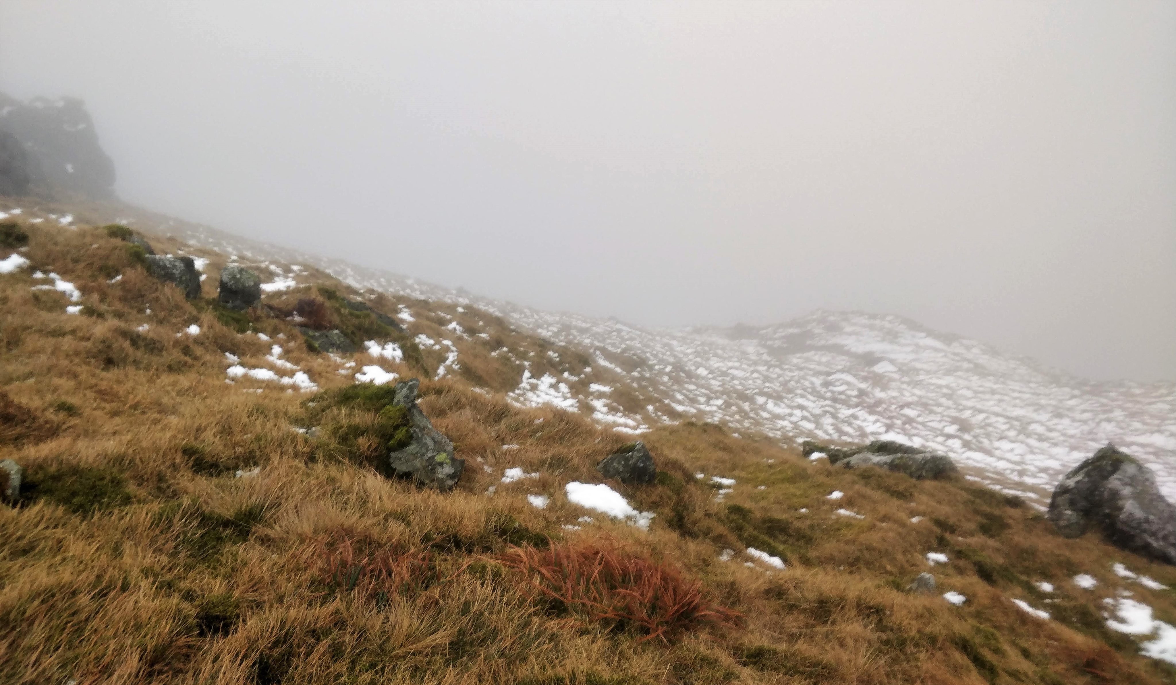
 010 Glimpse of Scars of Lamachan
 But from that point on, it was totally invisible. We knew we'd reached Lamachan Hill summit when there was no more up to go to, and a quick check on my friend's phone confirmed we really were at the top (and there really is no cairn of glory).
Next it was a careful bit of navigation to curl round Brennanback's crags and try not to fall off its scars, which we managed (this is the first time my friend has had to trust my viewless navigation, and she went quite quiet in her sheer excitement and enthusiasm

), but I was more than happy to keep checking on her or my phone that we were where we thought we were. Peace of mind for us both in truth. There are quite a few spots where you don't want to go wrong up here.
So no photos of the glorious views, or the glorious crags, and it was a delight when even this much came back into vision.
 011 Snowy ground after Lamachan summit
 At about 580m, we found the little lochan before we went back into cloud above the Scars of Milldown and down again from the 603 point.
 012 Lochan and bog
 From here, at last, vision was restored - and I love that feeling. One of my favourite rewards for making the effort in clag.
 014 From the Scars of Milldown
  015 Loch Valley with Craignaw and Mullwarchar maybe
By the time we reached Curleywee, which I had originally fancied going up today, we'd both had enough of stomping about in cloud, took one look at the inviting wall to handrail down to the Southern Uplands Way, and followed it. We still had a long walk out after all.
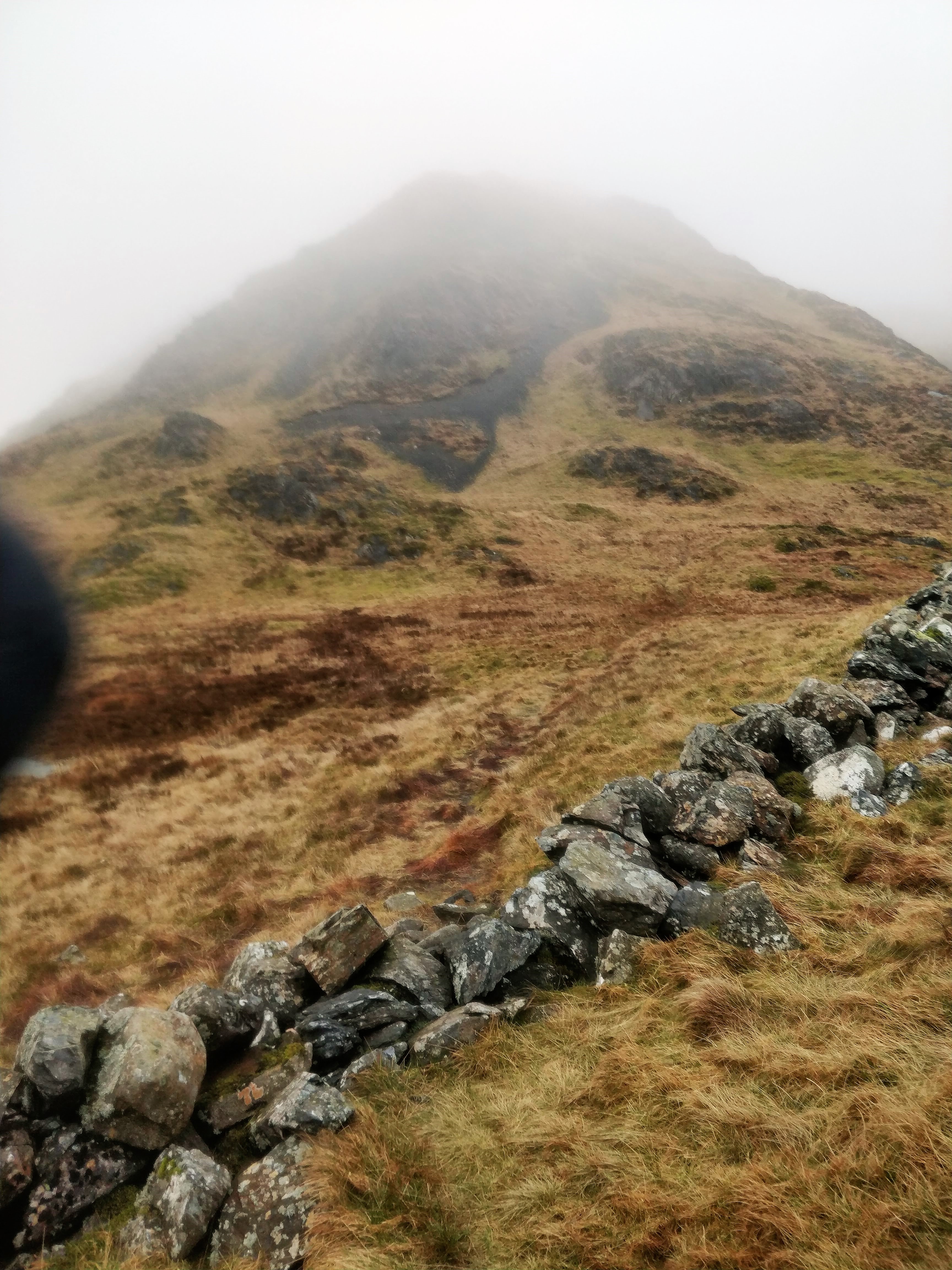 016 Curleywee and the too tempting dyke
 I had an odd sensation up there below Curleywee of feeling I was facing 180 degrees in the wrong direction. Weirdly I think it actually came from being head down in map and compass, and perhaps also from still having my planned route in my head, which would have taken us the other side of Curleywee and facing at least 90 degrees in another direction before we descended. But it soon passed, my head got its bearings again, and down we went.
 017 Looking back up to Bennanbrack
 018 Sarah not seeing the Merrick
  019 Towards Meikle Millyea of Rhinns
 At last Loch Dee came into view. And with it a taunt of blue cloudless sky.
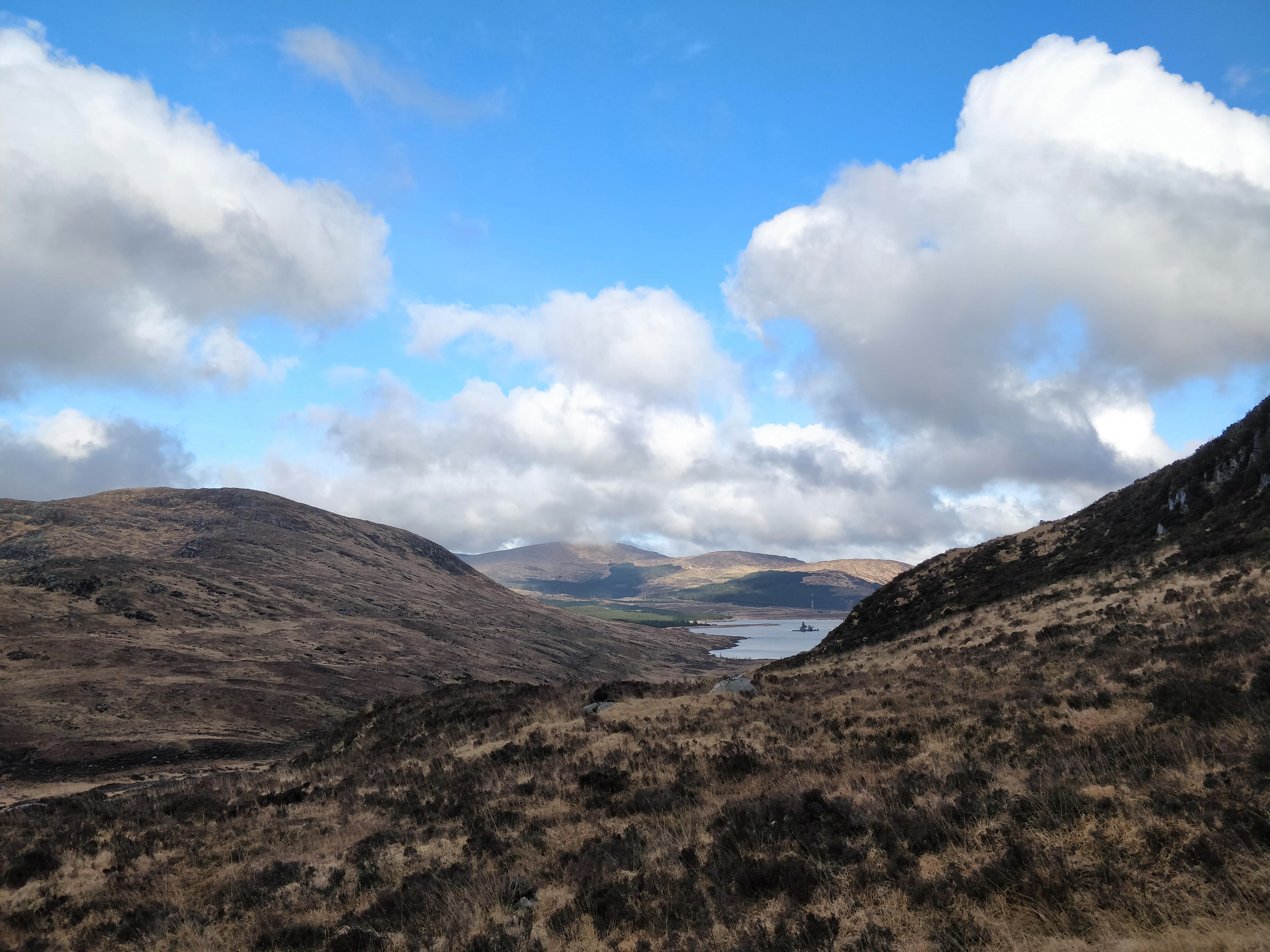 020 Loch Dee under blue sky
 And as we descended to the forest roads, we had waterfalls to enjoy.
 021 Waterfall below Curleywee
  022 Southern Upland Way under misty Merrick
 023 Loch Dee and south Rhinns of Kells
 Down on the track something small and black-and-white cat-like ran out from the stacked logs. Cat? Domestic cat? Here? Then a nanny goat appeared and the cat reappeared, now - ah! - obviously a kid. They ran off, and a handsome billy arrived - and went out of view again too quickly for me to take a decent pic.
 024 Distant billy goat
 Then it was round the track to Glenhead, completely missing the axe head sculpture which I'd forgotten to look out for, and back to Loch Trool for a quick tourist trip up to Bruce's Stone.
 025 Buchan Hill and a bit of Benyellary
  026 East end of Loch Trool
  027 Sarah at Bruces stone
 The light was just beginning to lower as we returned to the car, taking the Loch Trool-hugging path as we went.
 029 Back at westend of Loch Trool
And home to dry off my pal's boots ready for her to get back on her coastal path walk the next day.
