free to be able to rate and comment on reports (as well as access 1:25000 mapping).
This was a very pleasant walk, with some stunning views, on a perfect spring day.
I missed the WH parking spot - didn't turn left immediately after leaving the A9. But there was a large parking area beyond some cottages, with a fine view of A'Mharconaich.
 IMG_9257
 by
Half Man Half Titanium, on Flickr
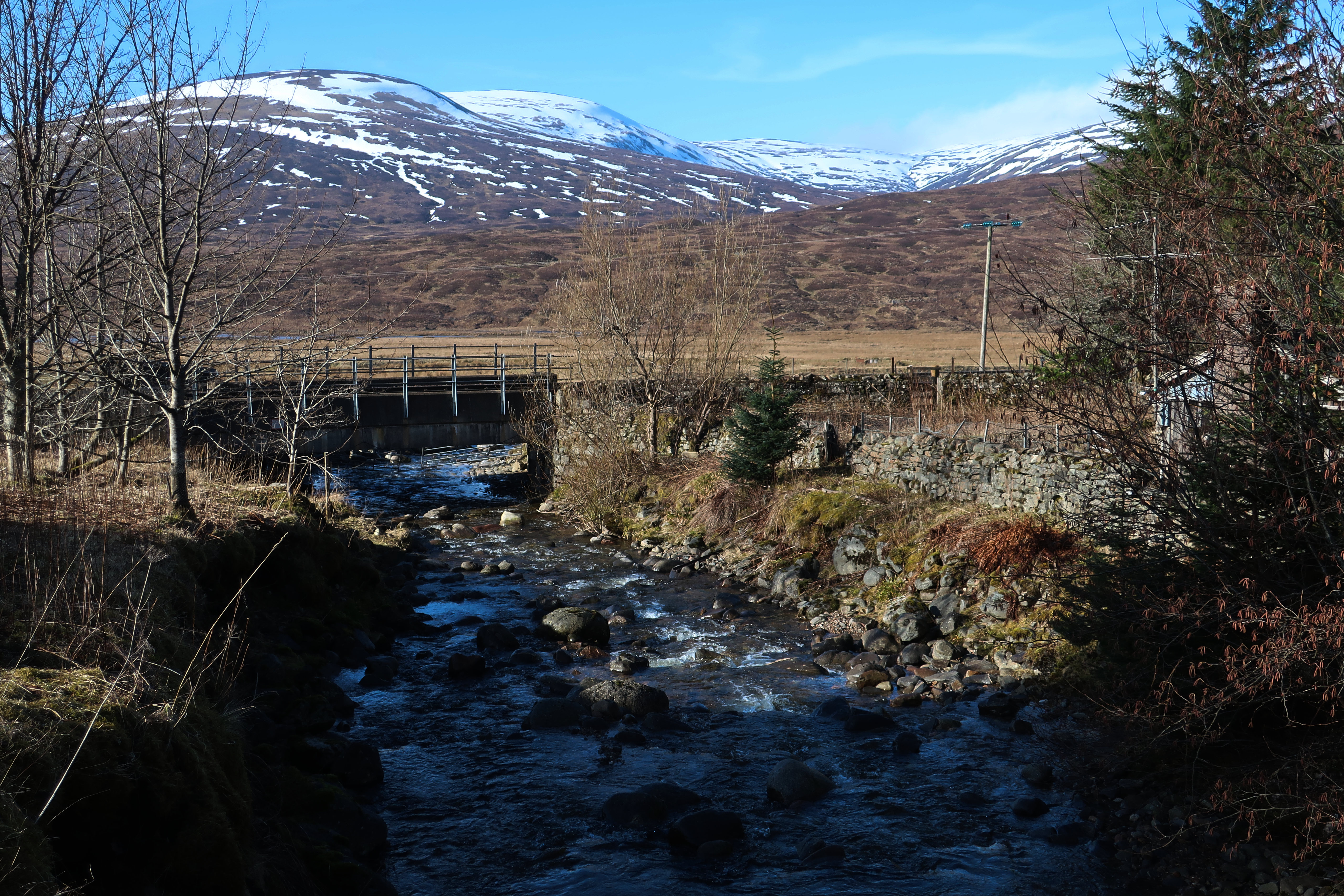
Railway bridge over the Allt Coire Mhic-sith. The recommended parking area is just to the left-hand side of this view, next to the level crossing.
 IMG_9261
 by
Half Man Half Titanium, on Flickr
Sgàirneach Mhòr above pools on the Allt Dubhaig, which flows from from the Drumochter summit. There are some geese on the water, Greylags maybe.
 IMG_9274
 by
Half Man Half Titanium, on Flickr
Sow of Atholl from the sluice dam
 IMG_9281
 by
Half Man Half Titanium, on Flickr
The outflow of Loch Garry, from the next dam
 IMG_9295
 by
Half Man Half Titanium, on Flickr
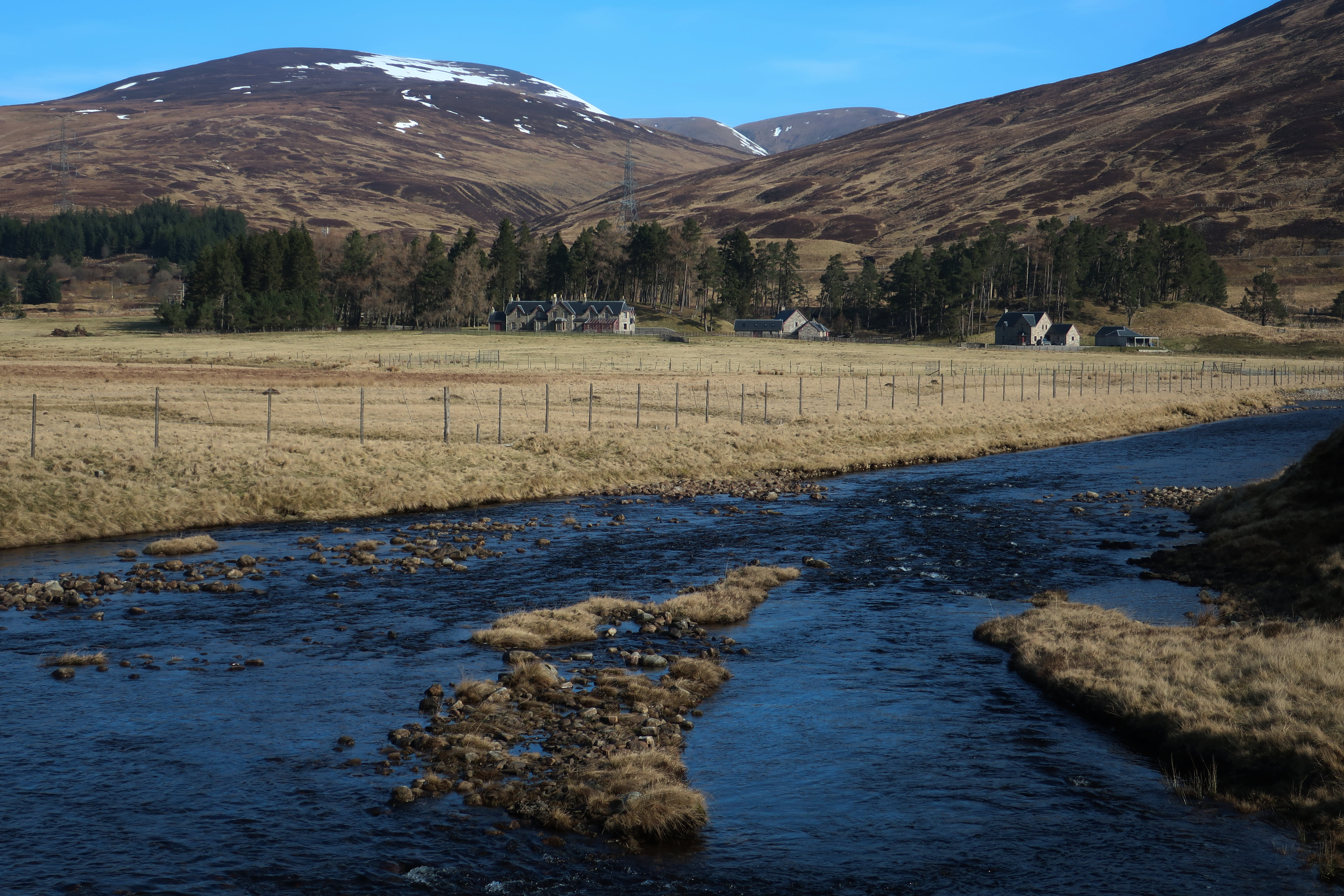
Looking back to Dalnaspidal. The prominent hill just right of centre is the southern 900m summit of A'Bhuidheanach Bheag.
 IMG_9301
 by
Half Man Half Titanium, on Flickr
The ascent is quick and easy. About half-way up the slope, this pool of melted snow caught my eye.
 IMG_9315
 by
Half Man Half Titanium, on Flickr
At the top of the slope, a track branches off to the right to the 748m summit, which gave me views of the Drumochter hills - this is Sgàirneach Mhòr and A'Mharconaich.
 IMG_9352
 by
Half Man Half Titanium, on Flickr
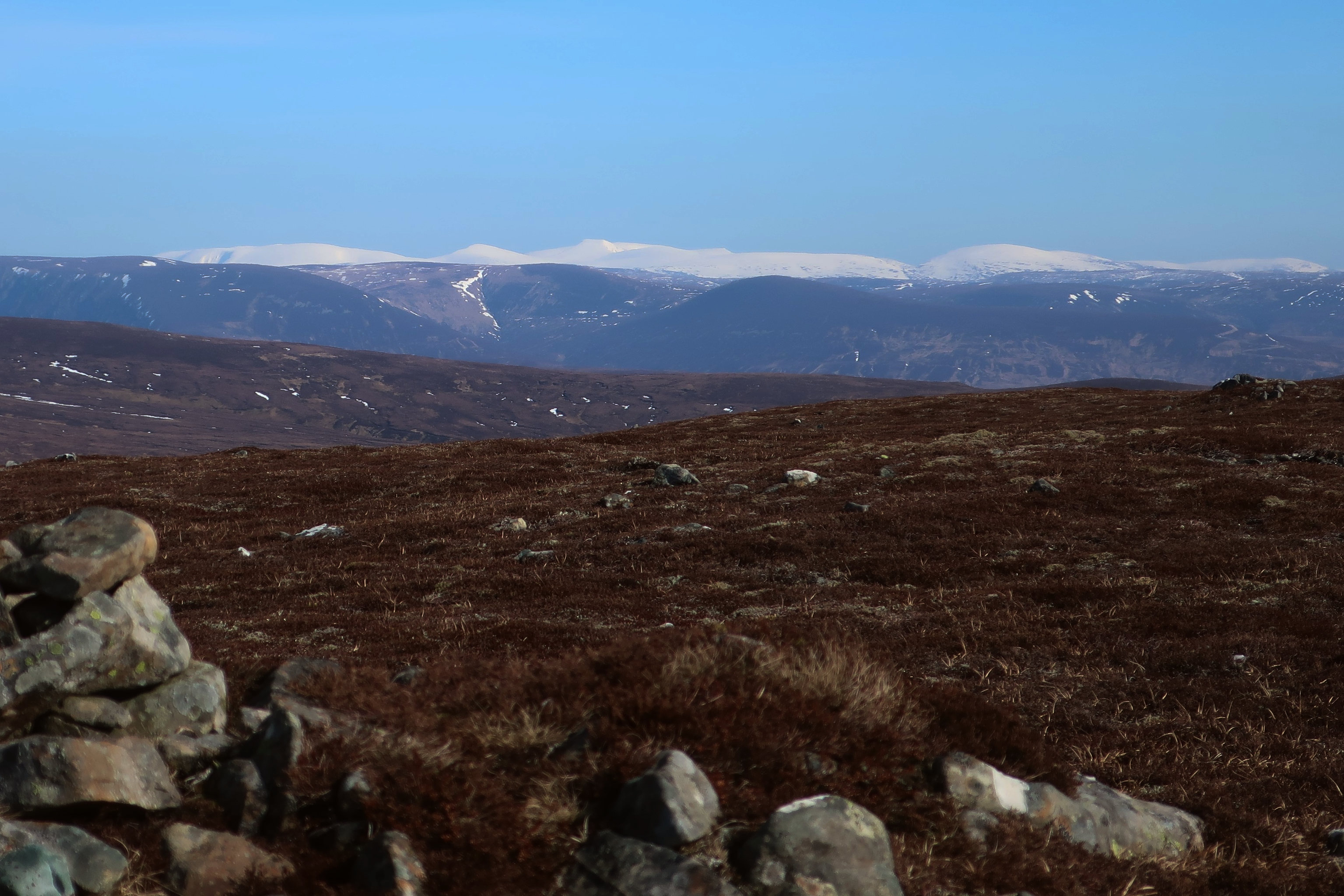
The Cairngorms from the same spot. From left to right I think the main summits are Braeriach, the Angel's Peak, Cairn Toul, Ben Macdui just to its right with Monadh Mòr below it, the sharp scarp of Stob Coire Sputan Dearg, and Beinn Bhrotain.
 IMG_9356
 by
Half Man Half Titanium, on Flickr
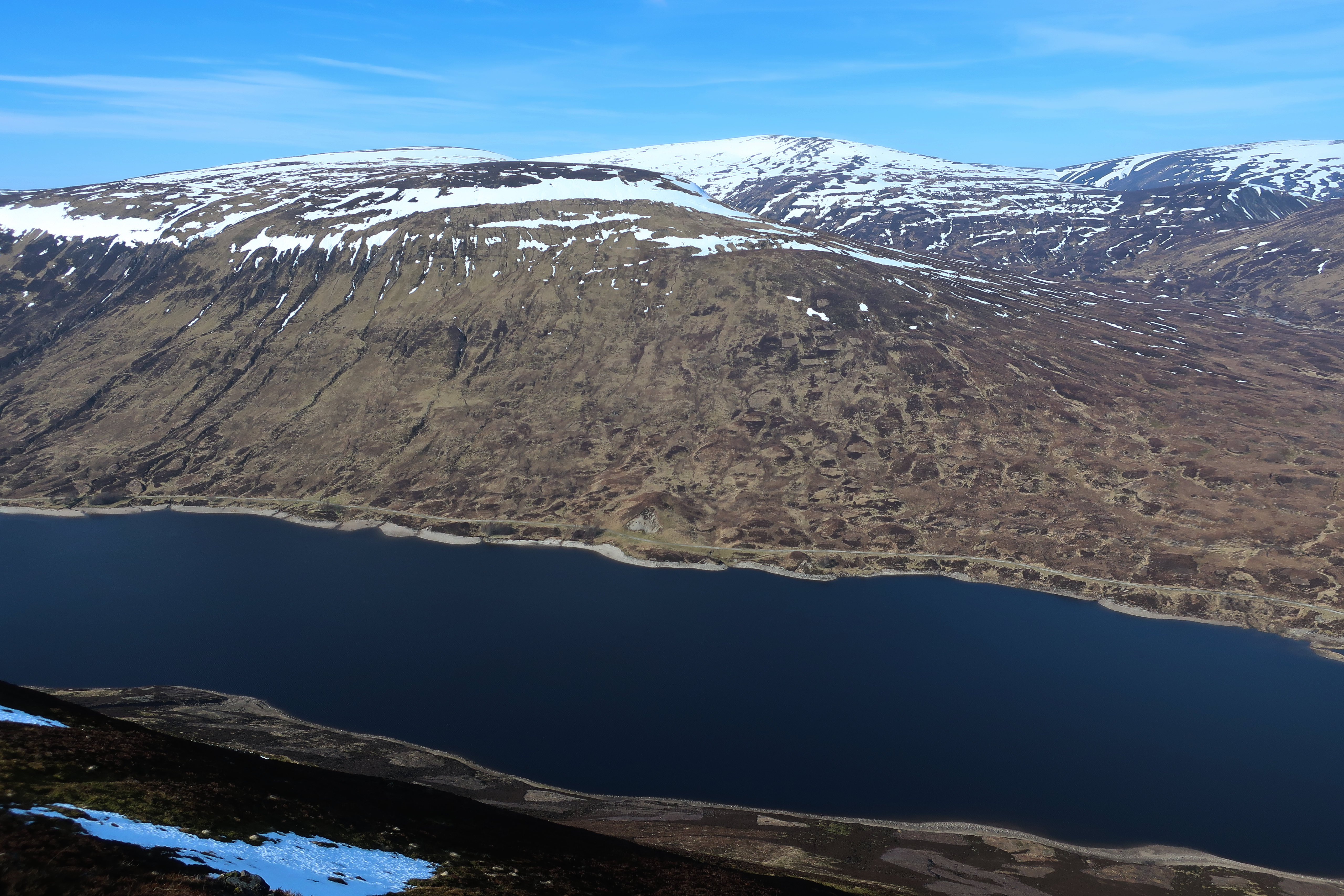
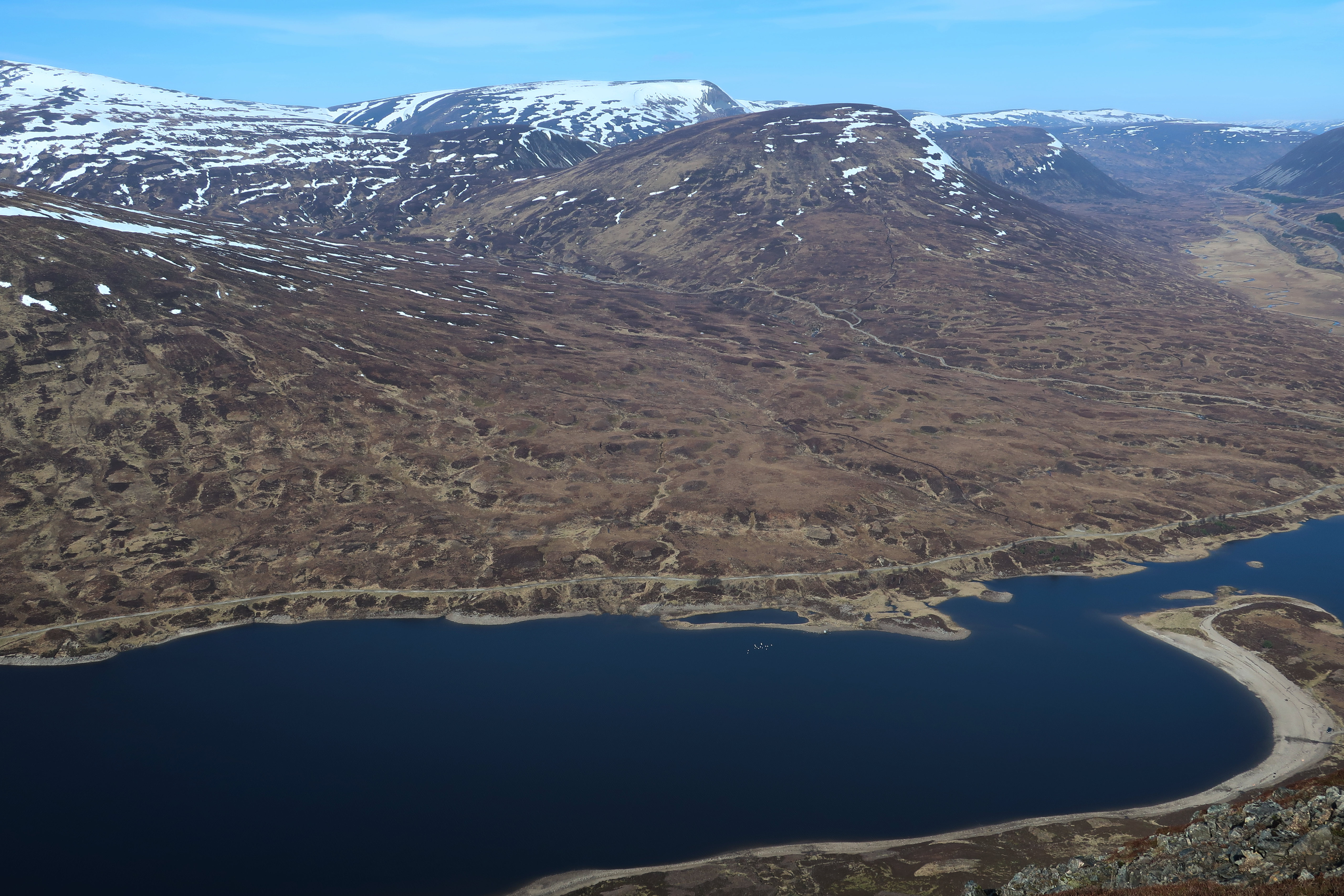
Just beyond the 748m cairn, there was a fantastic full-length view of Loch Garry in its deep glacial trench. I think the very distant peak on the left of the first photo is Stob Ghabhar (above the building on the shore of the loch).
 IMG_9365
 by
Half Man Half Titanium, on Flickr
 IMG_9364(3)
 by
Half Man Half Titanium, on Flickr
 IMG_9362
 by
Half Man Half Titanium, on Flickr
Drumochter. The geese are now on the loch, directly below the Sow.
 IMG_9360
 by
Half Man Half Titanium, on Flickr
From there, it was a relaxed stroll, with wonderful views in every direction, to the main summit of Meall na Leitreach. This is the cairn from the point at which a small path leaves the track, with Ben Vrackie behind.
 IMG_9368
 by
Half Man Half Titanium, on Flickr
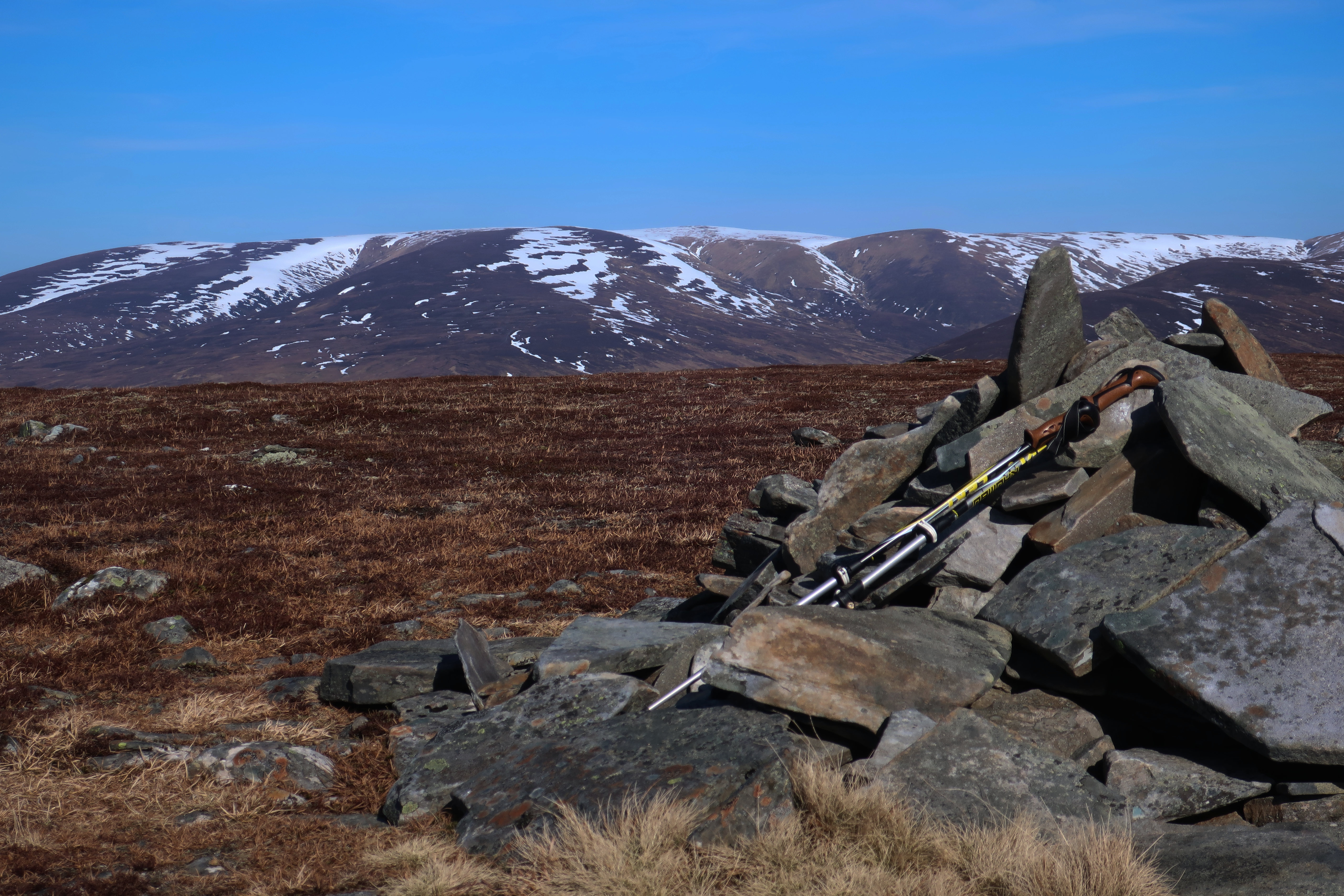
The eastern Drumochter hills.
 IMG_9387
 by
Half Man Half Titanium, on Flickr
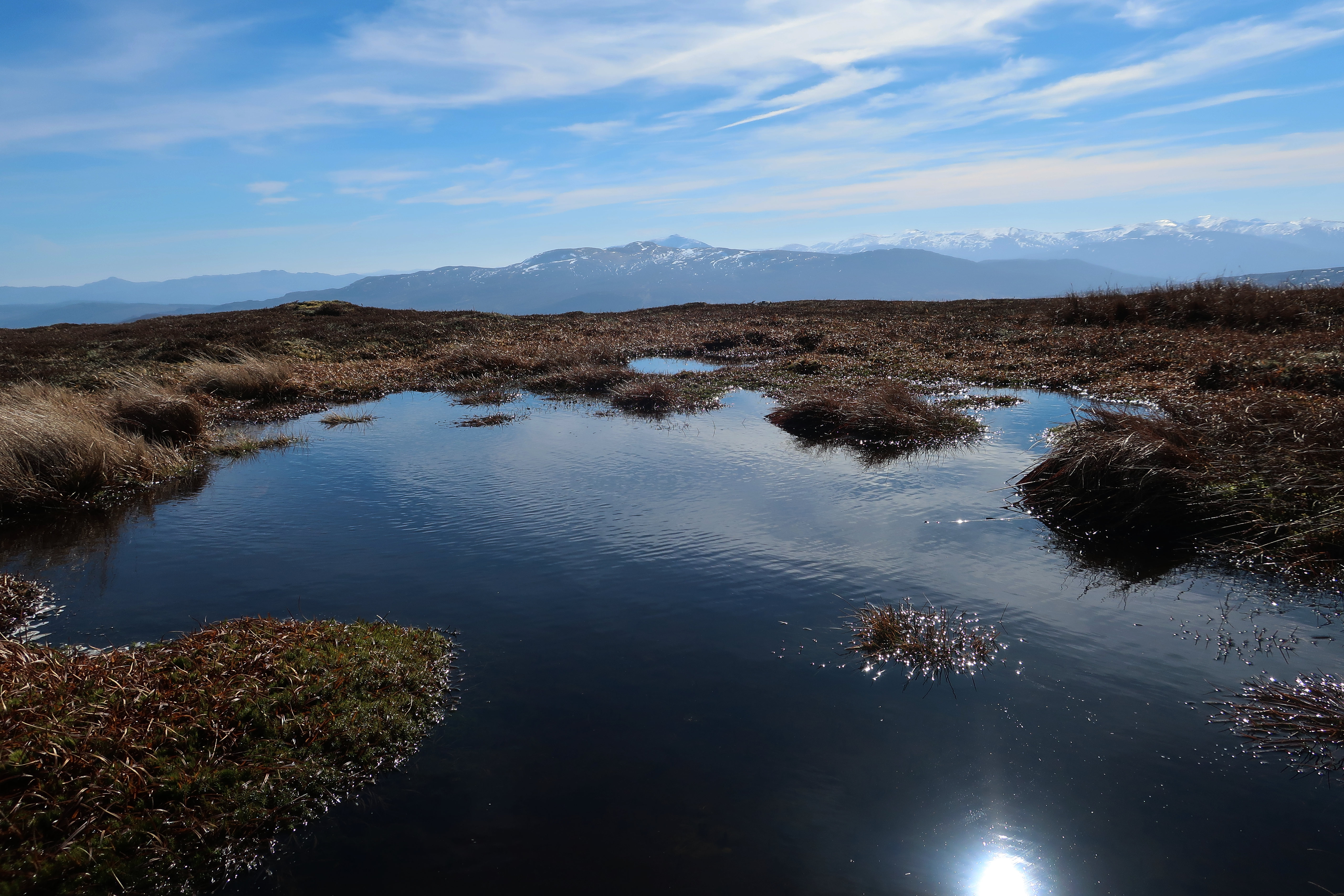
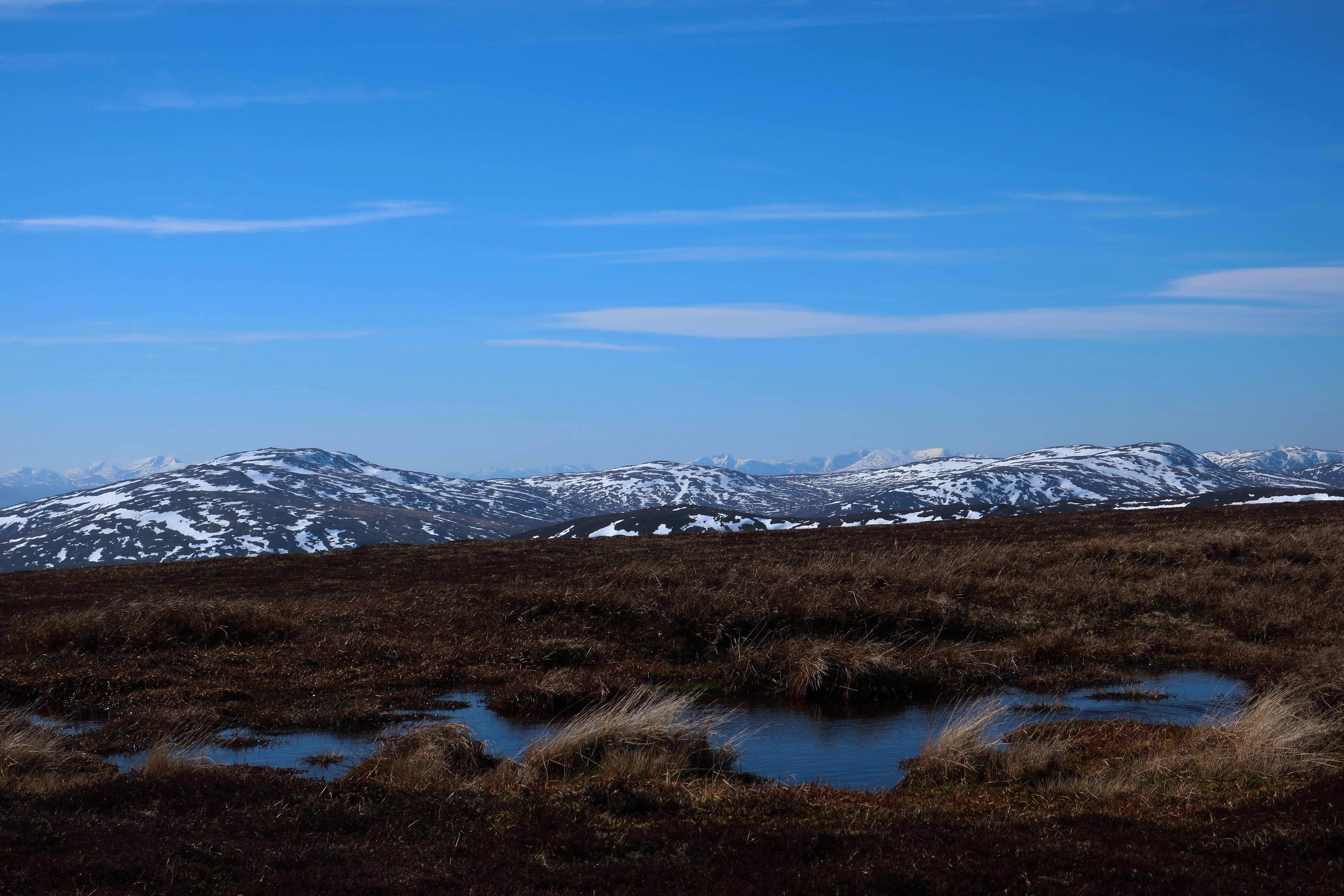
Apart from the cairn, the only landmark on the flat summit is a pond which probably looks like a dull puddle most days, but today was rather attractive, with Schiehallion in the distance.
 IMG_9369
 by
Half Man Half Titanium, on Flickr
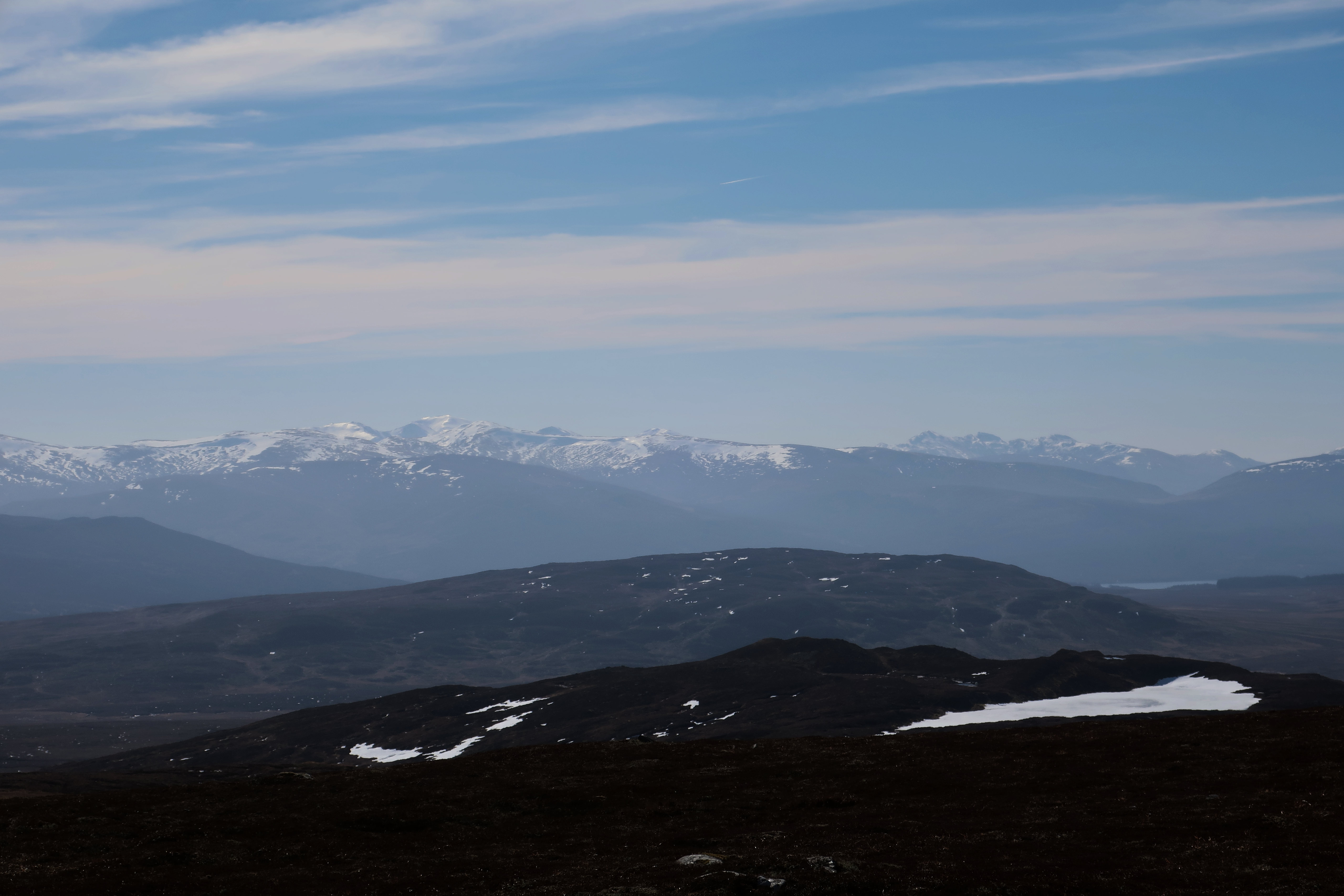
Hazy view of Ben Lawers above Càrn Gorm, and the Tarmachan ridge on the right, with a glimpse of Loch Rannoch below it.
 IMG_9394
 by
Half Man Half Titanium, on Flickr
Looking south-west - I think the distant skyline is Beinn a'Chreachain on the left, Beinn Mholach in the middle distance, then Stob Ghabhar just right of centre, and Creise catching the light to its right.
 IMG_9398
 by
Half Man Half Titanium, on Flickr
The view to the west - I think the pointed peak is Sgòr Gaibhre, and Ben Alder dominates the view.
 IMG_9407
 by
Half Man Half Titanium, on Flickr
Descending to Drumochter
 IMG_9445
 by
Half Man Half Titanium, on Flickr
Back at Dalnaspidal, a last glimpse of Loch Garry.
 IMG_9470
 by
Half Man Half Titanium, on Flickr
