free to be able to rate and comment on reports (as well as access 1:25000 mapping).
Having completed Stages 1 & 2 of this route, my plan was to do Stages 3-5 as an overnight trip, getting some more miles in the legs and testing out my gear for the WHW which is my ultimate goal (which I'm sorry to say after this trip I'm a long way from being ready for!)
I began on the Avon Walkway from Hamilton in to Strathclyde Park, and crossed the Clyde at Clyde Bridge between Hamilton and Motherwell and then back under it in to Baron's Haugh Nature Reserve and the start of the route (which offically begins at the Watersports Centre for this stage). The start of the route follows the river but is heavily lined with trees and passes by a cemetery and under Camp Viaduct before opening out as we enter the bird reserve.
 Camp Viaduct
There are 2 routes through the reserve, the one closest to the river is obviously the offical route but there has been a lot of flooding and path erosion so there are a few small diversions to negotiate.
 downed trees at eroded path
There are numerous areas of wetland and several hides here for bird watching, and I was rather shocked to see a van coming towards me - it was an RSPB Ranger out checking the hides and the paths! At the end of the nature reserve is a metal gate and you arrive at Adders Gill pumping station, or at least the remains of it. Water was extracted here for the local steelworks, almost all of which are now closed.
 Adders Gill pumping station
The path becomes more rural in looks after this, but the noise of the nearby M74 remains for a good while. Crossing some farmland before Lower Carbarns farm the Covenanters Graveyard is visible (centre of the picture amongst the trees) and the field is also full of cows so be careful with dogs. There were several grazing near the gate at the far end of the field and gave me hard stares but backed off as I approached giving them as wide a berth as I could.
 Covenanters Graveyard
 Cambusnethan Priory just visbile through the trees
The reason most people do the Clyde Walkway as day hikes starts to become clear here - much of the path is shared space and there are very few spots to wild camp. Either you are crossing fields full of livestock or passing close to them with fences on one side and the river on the other. A long stretch on a farm track here gives way to Highmainshead Woods and a network of paths before passing some houses and taking what is essentially a driveway to meet the A71 above Garrion Bridge. This is a very busy road but was quite easy to cross due to roadworks having it down to one lane, so easy to nip across when the lights changed. Follow the road towards Law briefly then turn right in to Mauldslie Woods.
 Mauldslie Woods
I had thought here might be the first place I could find to stop for the night, but it was heavy undergrowth and mostly on the valley side so no options that I could see. After the section through the woods the path returns to the river and a large open area approaching Mauldslie Bridge, where Stage 3 (should!) ends.
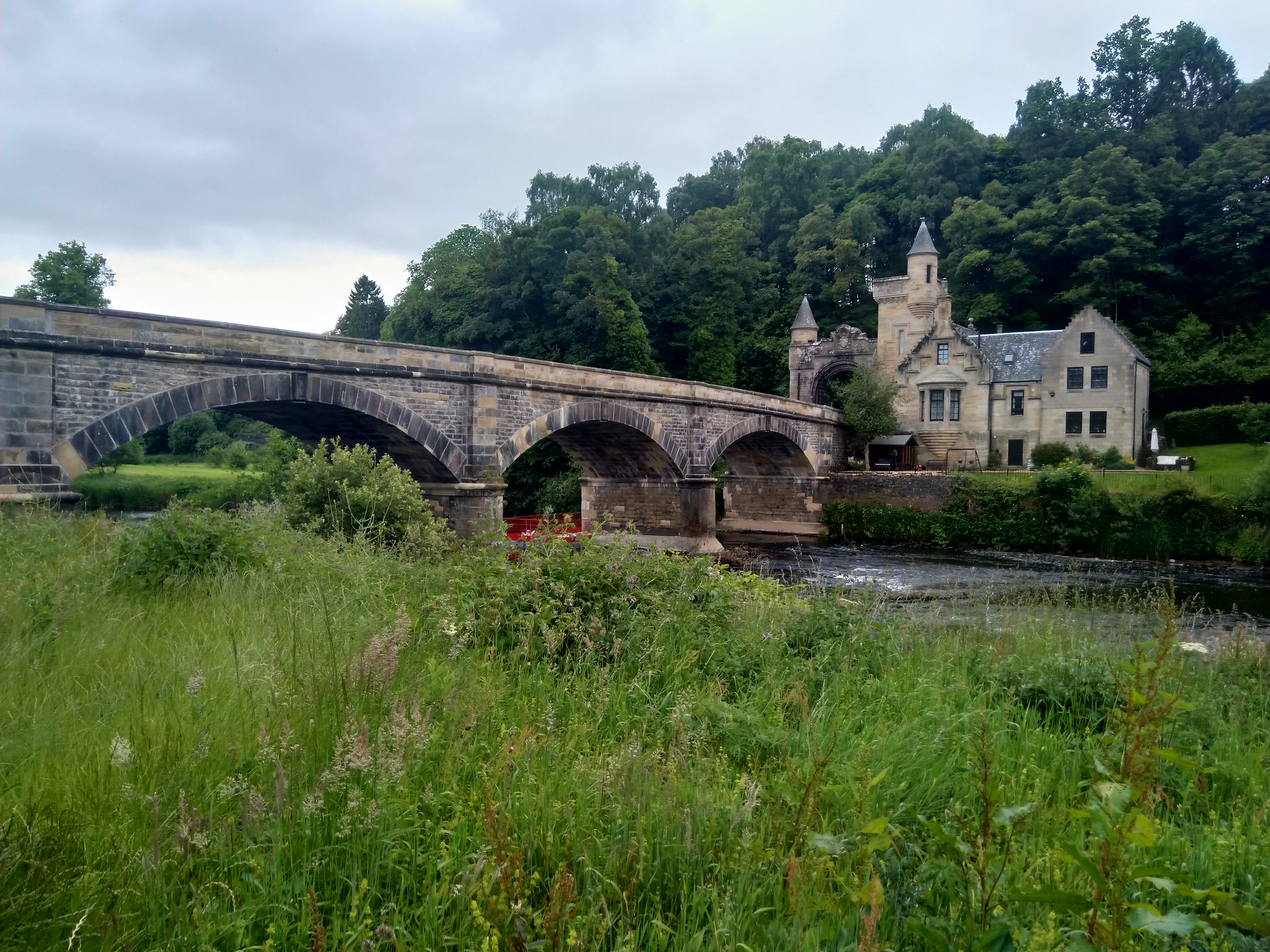 Mauldslie Bridge
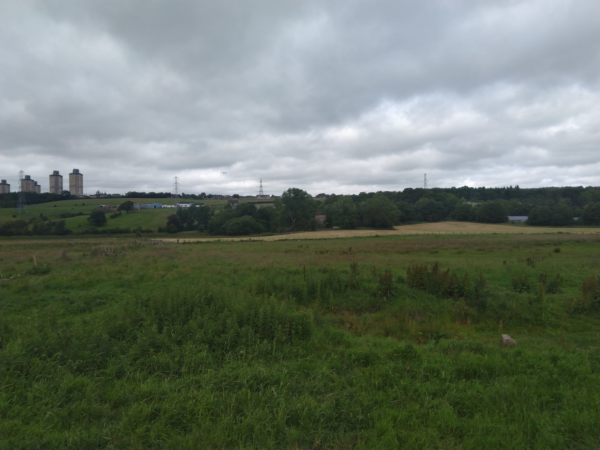
I carried on here again looking for somewhere to stop for the night. The path past the bridge was once again bounded closely by fences and the river and as I reached the woodland near Rosebank (where I had thought I would stop having looked on Google Maps) I again found that I had made a mistake. Firstly, the area is shared with the Milton Lockhart Estate and then the Waygateshaw House Estate and so is bounded by electrified fences, and also the woods were on the valley slopes so there would have been nowhere flat to pitch up anyway. By this time I was tired and hungry and also annoyed with myself at not scouting properly, and nearly stopped at a flattish area at the end of the Milton Lockhart Estate but decided against it. Eventually after a long climb up some wooden steps (and being passed by a large group of runners) I found a spot at the bottom of the steps back down. There was a wooden bench at a small beach area and off to one side hidden from the main path was a small flat section that was perfect for me to pitch up, with the bench serving as my kitchen and lounge for the night. This is around Stage 3 of the guide for Stage 4 of the walk on this site, before Crossford.
I settled down for dinner (meat sticks and rice, better than the name would suggest, sticky toffee pudding and raspberry drink from a 24hr ration pack, which was delicious. It tasted just like Creamola Foam and gave me the sugar hit I needed) when a couple out for a walk came along. They had just moved to Crossford and were out exploring and the guy was delighted to see what I was eating - he was ex-Army and had no idea that you could get ration packs online. They were going camping at the weekend and his girlfriend looked less than impressed as she could see her weekend menu changing to boil in the bag pouches - sorry about that!
Although warm and comfortable (Naturehike Cloudup-1 tent, Bergahus Peak Pro mat, OEX Evolution 400 bag and furnace-8 liner) I woke frequently during the night, to be expected on one of my first nights out wild camping. Still it was good to get out, stretch the legs, test the gear and see if I could do it all again the next day. Spoiler alert, I could, but a lot less!
