free to be able to rate and comment on reports (as well as access 1:25000 mapping).
We thought we had a bit of weather window, the forecast was OK so after making sure everyone was available we decided to finish off the Donald's on what is arguably the hardest trio on offer. It was 5 years since my last visit and I remember the previous visit very well and as a bit of a comparison I will add the odd photo from my previous visit - if nothing else it will highlight the totally different conditions.
Anyone who hasn't tackled hills without paths will think just over 1000m of ascent and 20km should be fairly easy, all I will say is once you experience the terrain and underfoot conditions you will understand why it takes over 8 hours. It took us 3 hours to each the first summit, Mullwarchar and that was after 4.5km on a fairly decent path/track.
We arranged to meet Tommy at the car park that is mainly used for the Merrick at 9am, we made quite good time on the journey SW and we were surprised to find quite a few spaces in the car park.
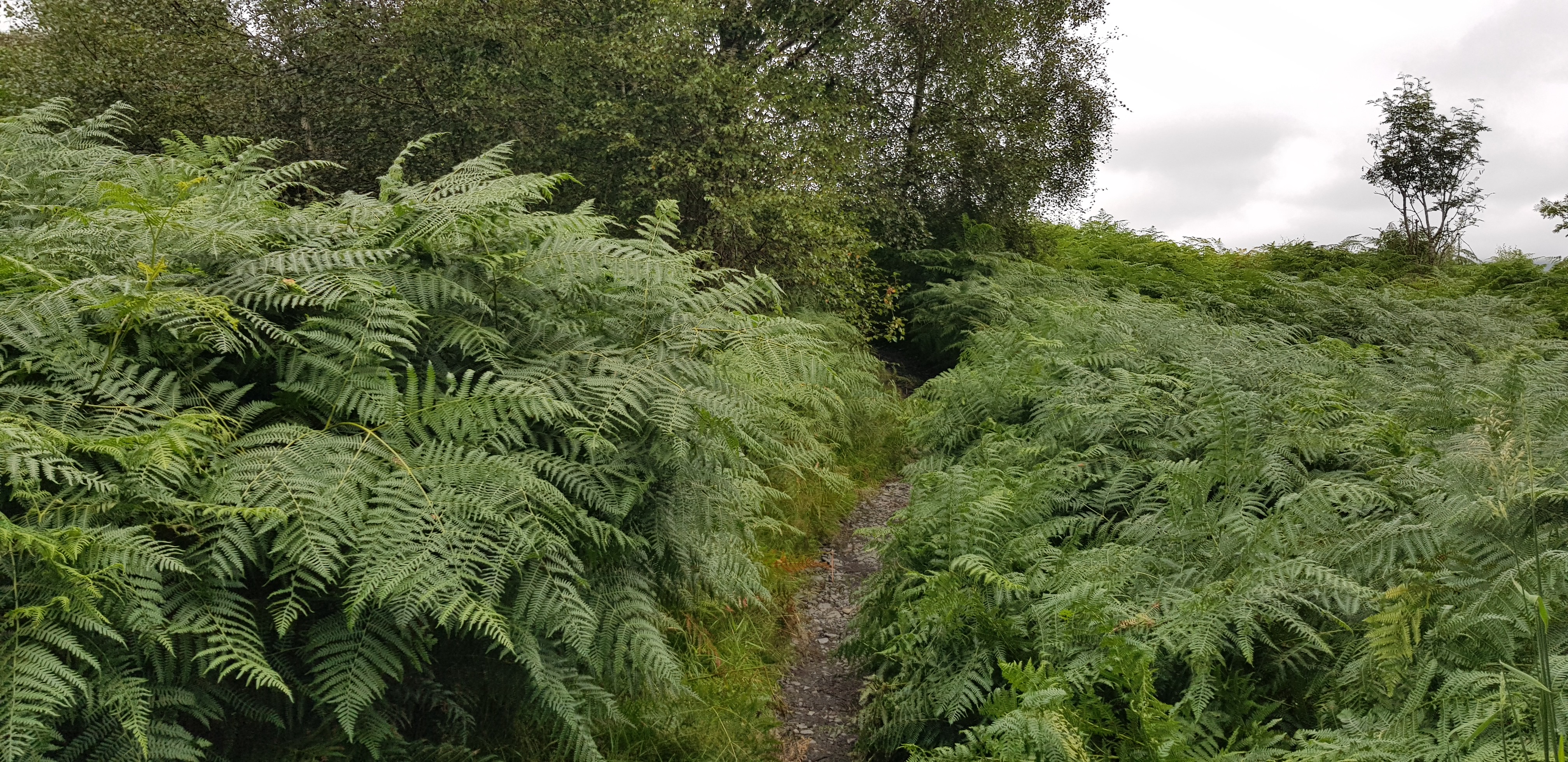
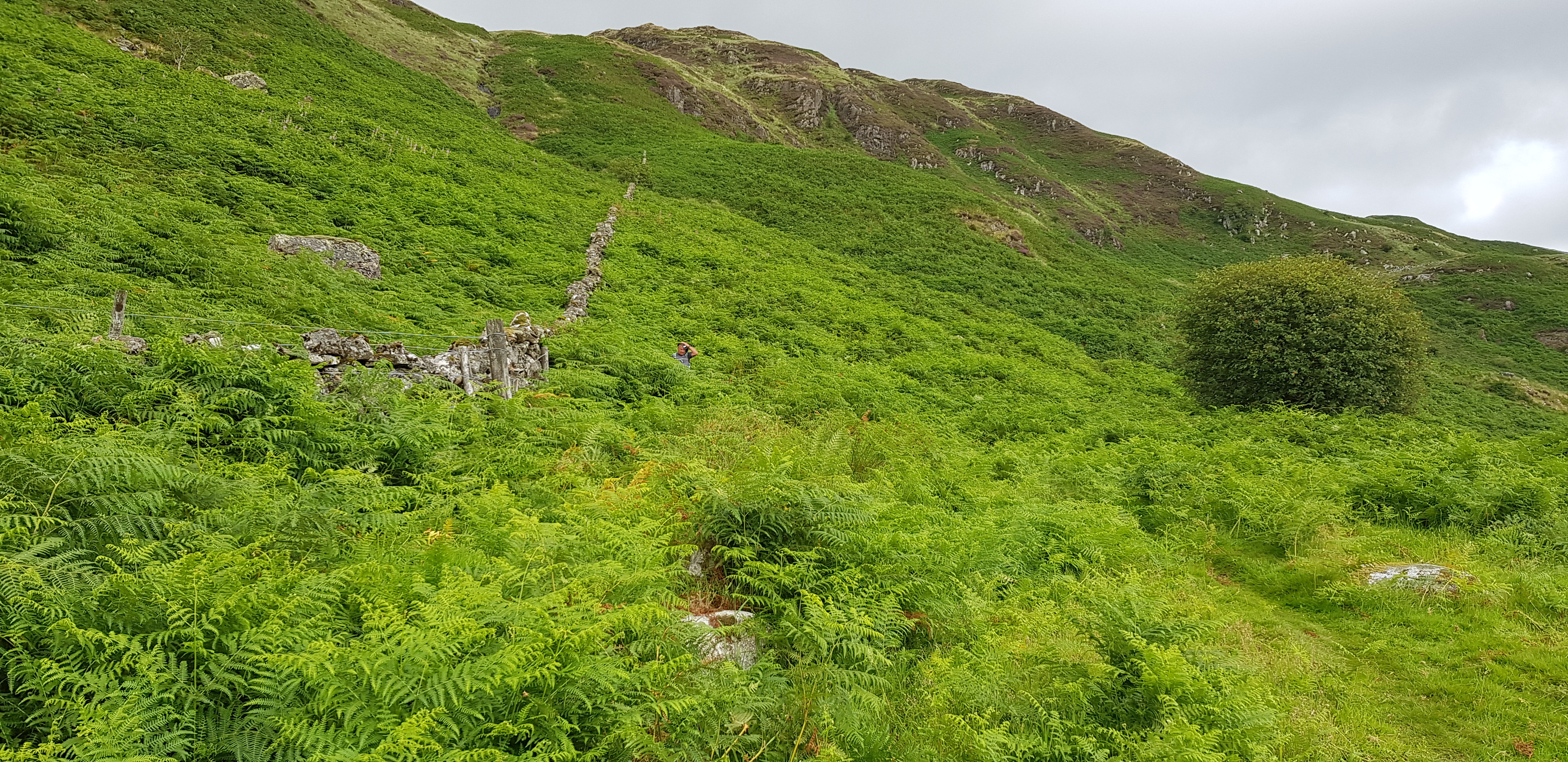
Here we go, we were on the path a month ago and the bracken has shot up

Bracken not as bad 5 years ago

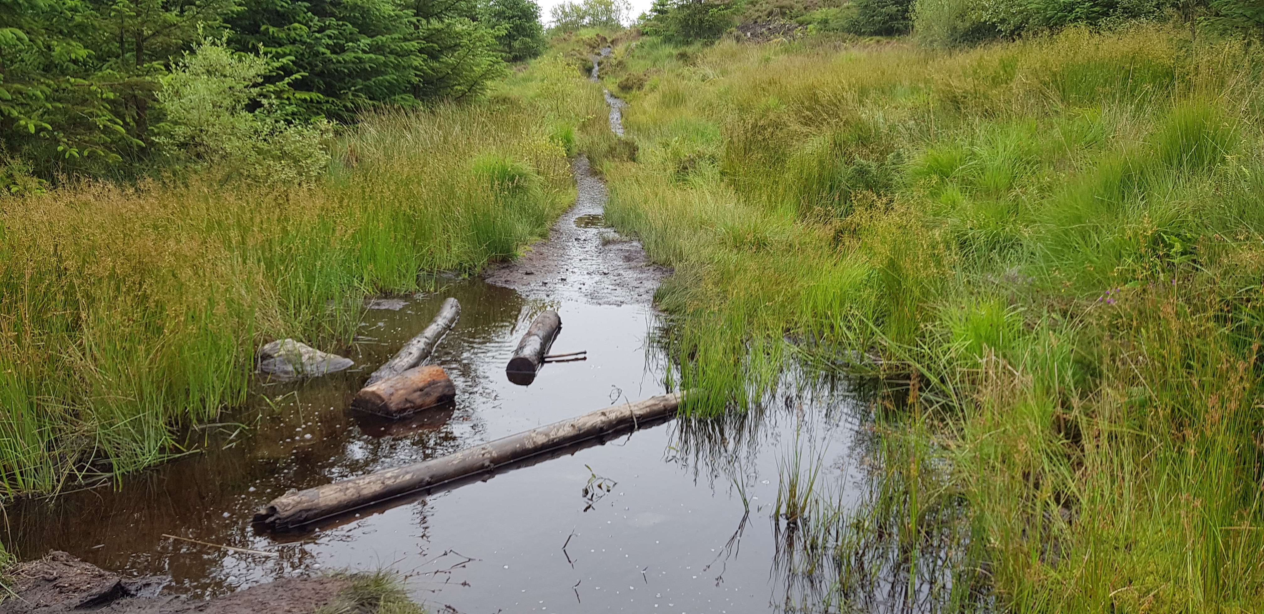
Plenty of water down in the SW

Culsharg bothy in the distance

Bothy 5 years ago
This is the path that also used for the Merrick

Storm damage from a few years ago

Now we are fortunate, there is a new track that gradually winds and rises uphill for about an extra 1km

This is what life was like before the new track 5 years ago

Also from 5 years ago
5 Years ago, I was glad of the shade

There is even a nice new bridge over a tiny burn
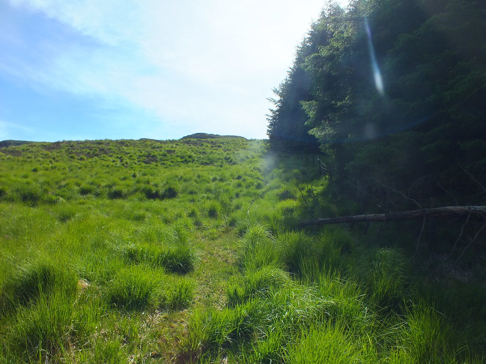
Nice looking gully

Not a pretty sight, the path can be seen wiggling gradually uphill

George and Tommy donning their waterproof trousers, that turned out to be a very wise decision as wet knee high grass is a recipe for wet feet, as Parminder and myself found out. I never seem to learn, my trousers were in the car

Heading down towards Loch Enoch, even though we can't see it yet

The first view of Loch Enoch 5 years ago

Loch Enoch again 5 years ago

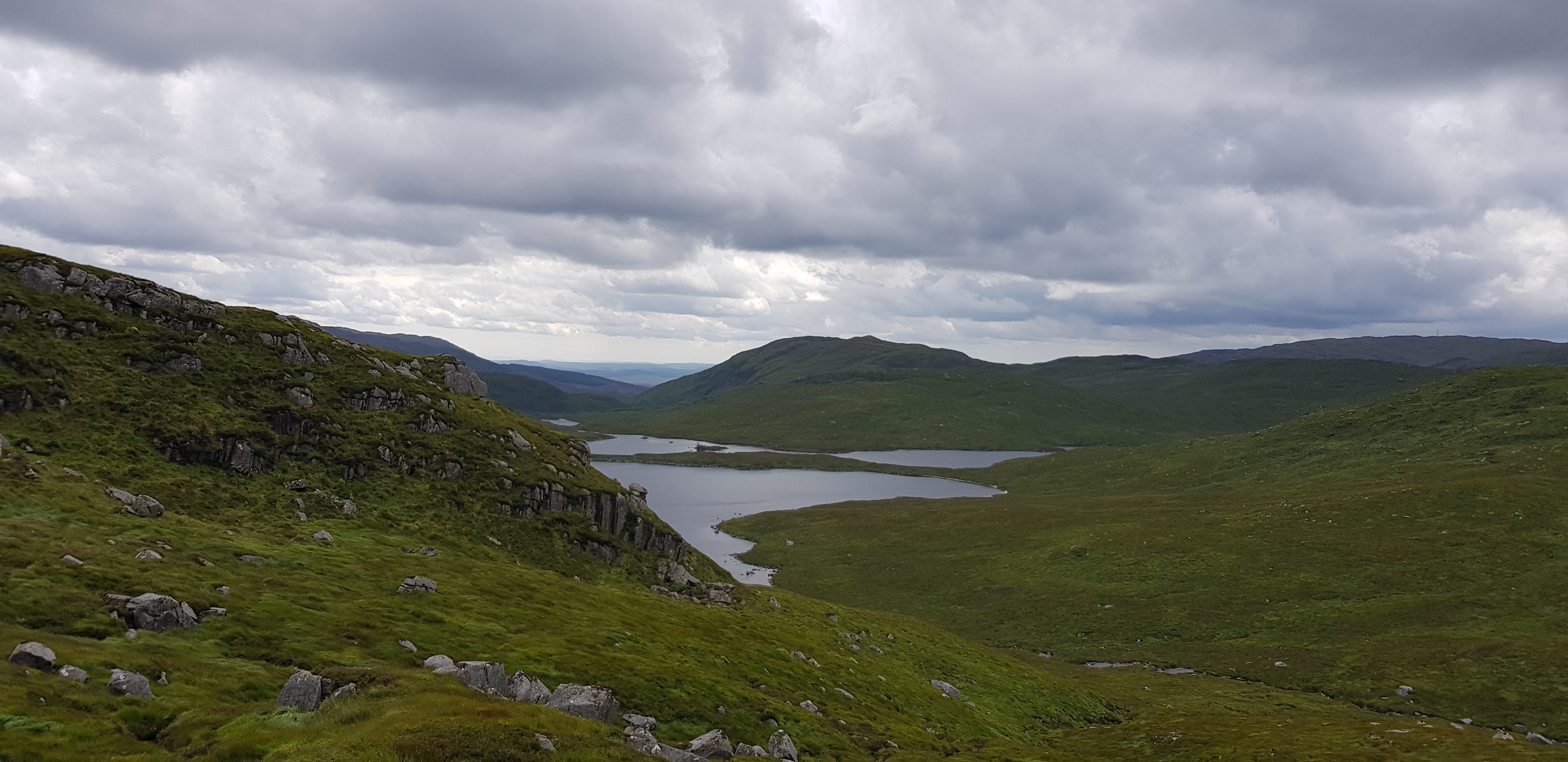
Loch Enoch looking rather spooky

Looking along the shore line

The walk along the shore of Enoch 5 years ago

Carefully following the shore

Is the cloud lifting? Looking back

Looking across the loch

Our first view of Mullwarchar - just

The walk along the shore is not flat

Mullwarchar from Lochside 5 years ago

Similar photo to the one above
Mullwarchar from slightly closer 5 years ago

Parminder concentrating hard

I can't say I remember it on my last visit, if it was there it was just a trickle of water
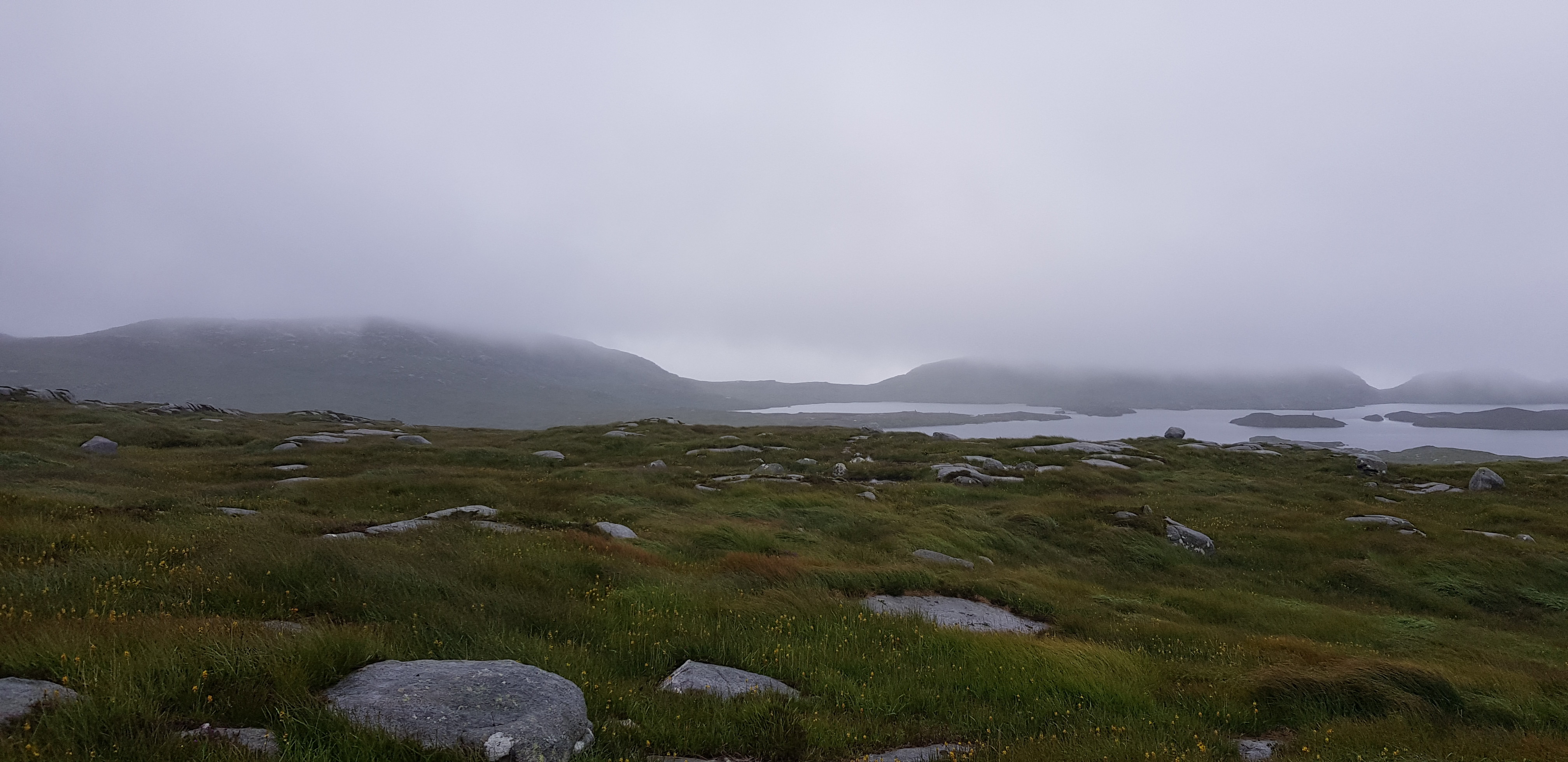
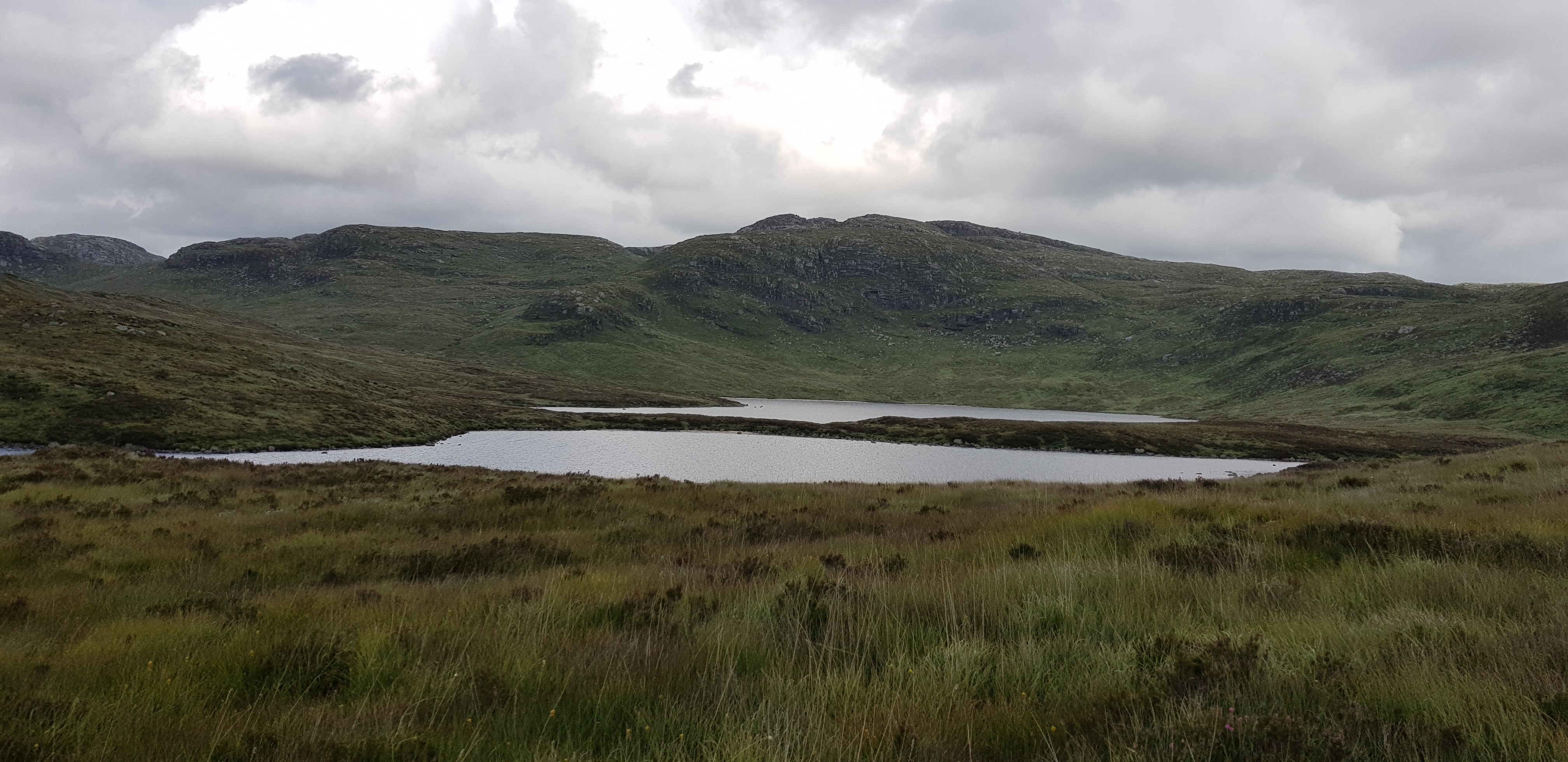
Looking across the loch to our two final hills - hiding in the cloud

The summit cairn on Mullwarchar, our 87th Donald
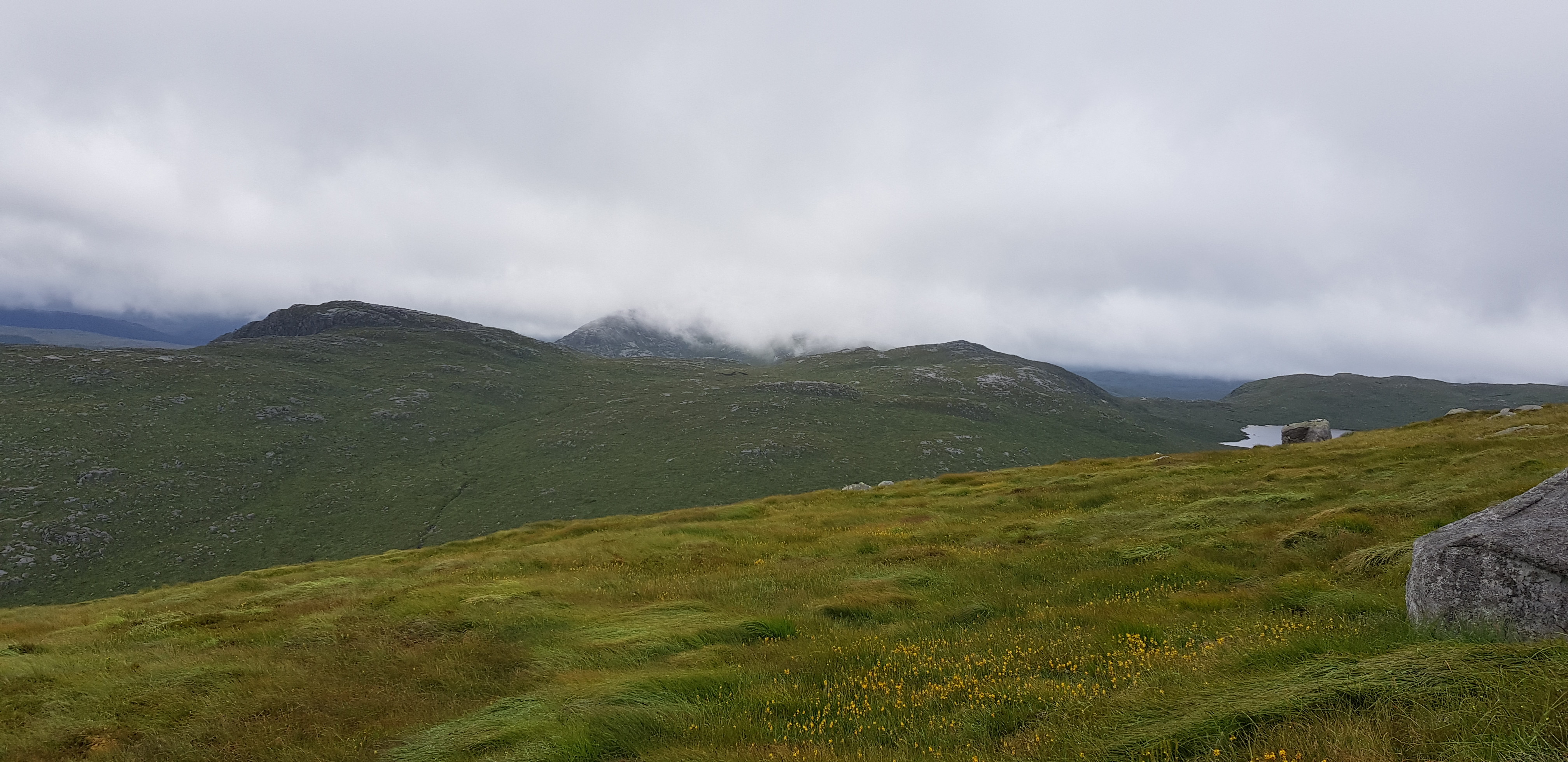
Dungeon Hill now visible

The whole of Loch Enoch now visible, lovely loch and only a few metres short of 500m

Looking back to Parminder descending Mullwarchar, great care is needed as the long grass hides all sorts of nasties, holes, rocks and plenty of unevenness

Something different, there are literally millions of them in the area

Looking across to Loch Neldricken which would be our eventual descent route, you can also see how rocky the general area is
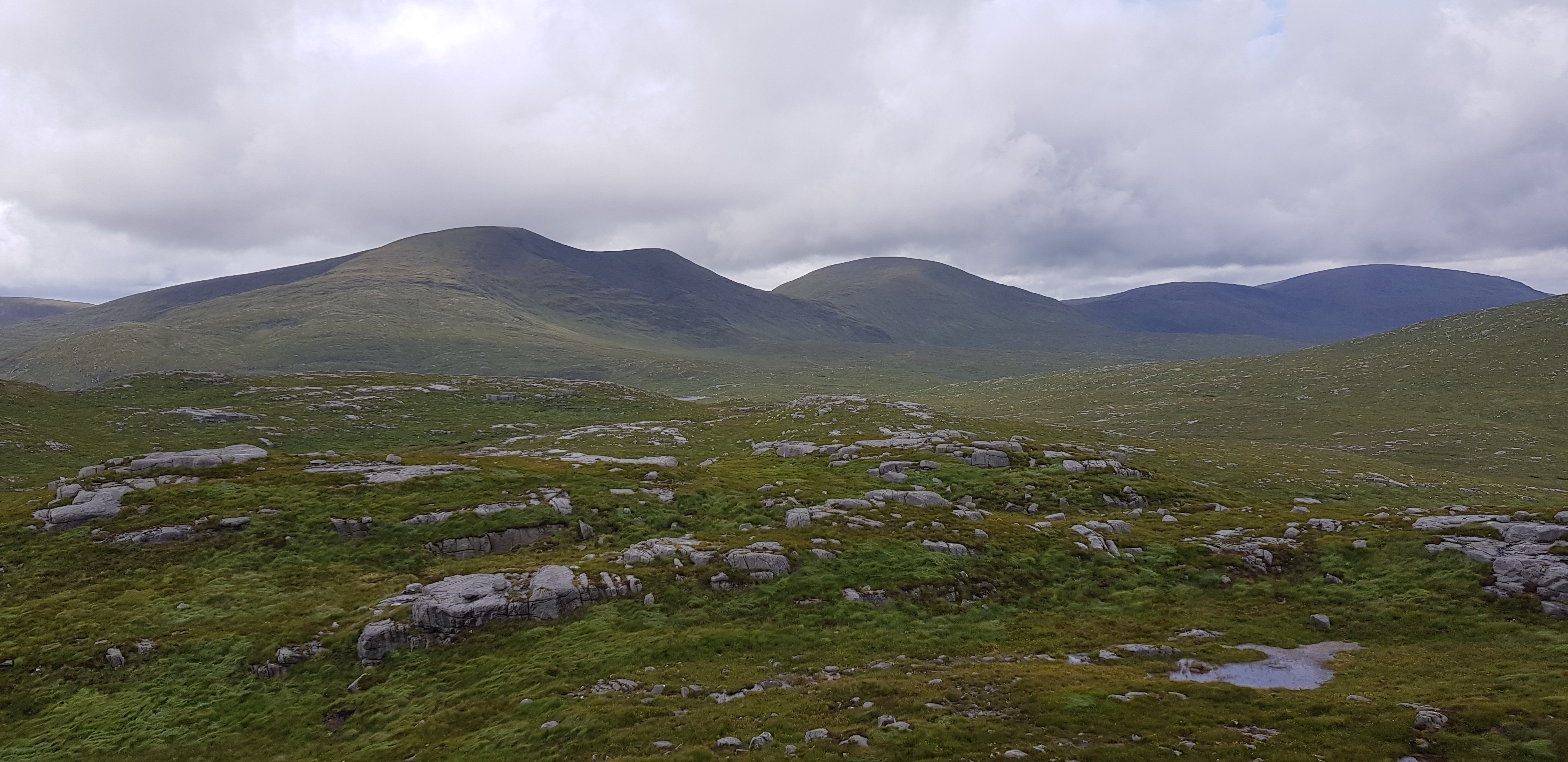
Look at that, the cloud has lifted, we can now see Merrick, Kirriereoch and further along the broad round ridge, well that's what it looks like from here

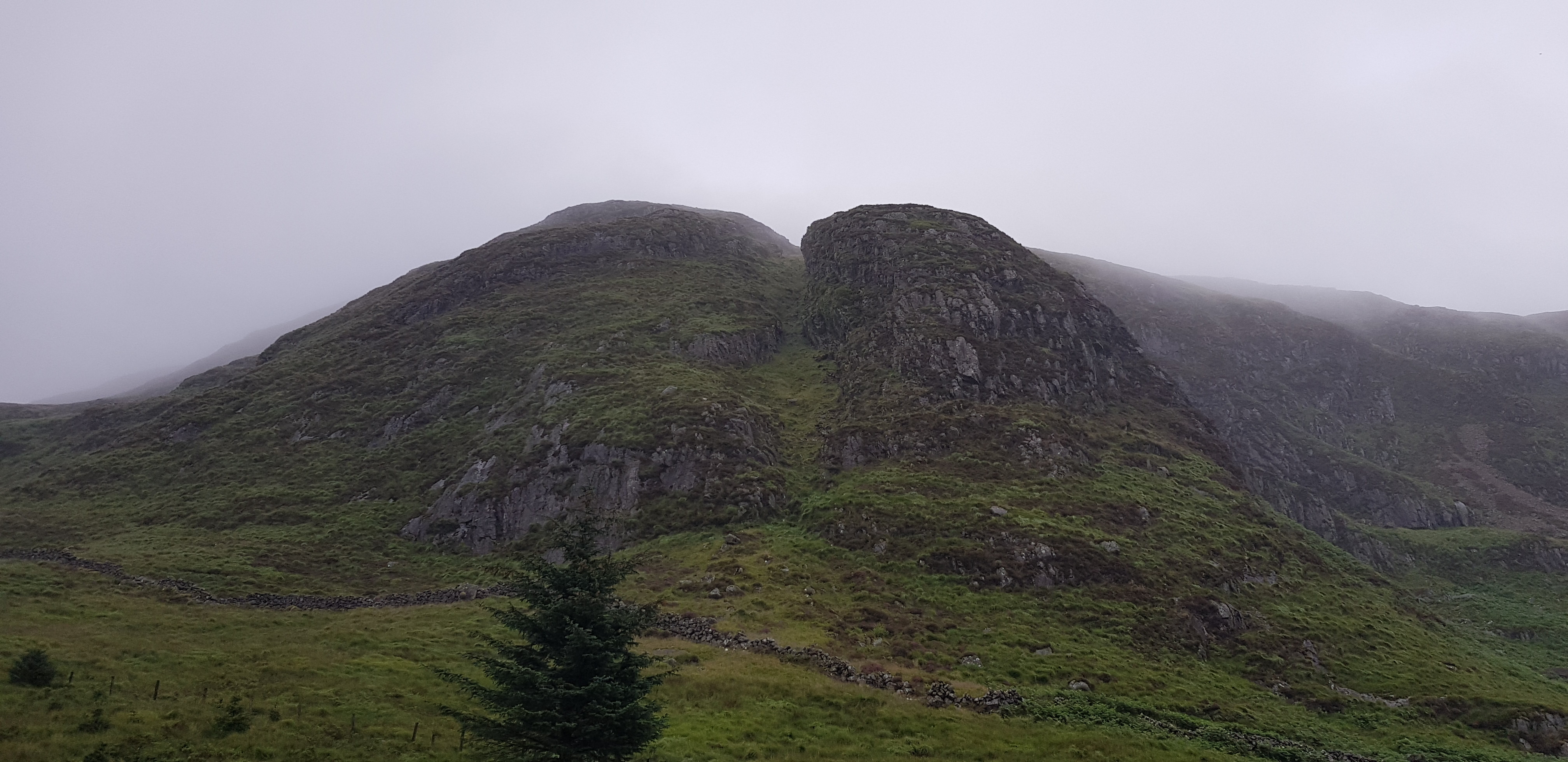
We are now on the summit of Dungeon Hill, looking across to Craignaw

Dungeon Hill 5 years ago looking across to Craignaw

Dungeon Hill summit cairn

Loch Doon in the distance, shame we didn't see it from Mullwarchar

The way across to Craignaw, head to the obvious bealach to keep as much height as possible, there is even a path
Craignaw from 5 years ago

Looking back to Dungeon Hill so you can see what the descent is like

We opted to do a bit of extra ascending, anyone following in our footsteps, you can avoid this ascent be keeping to the left

Merrick on the left, Enoch in the middle and Mullwarchar on the right

Dungeon Hill & Mullwarchar

Craignaw summit, the end of yet another journey. Well done to my colleagues on compleating their first Donald round, I doubt they will be as daft as me and do a second round?

5 years ago, I opted for a different descent route that took me along the southern banks of Loch Enoch. I remember being physically exhausted and soaking my cap in the water
Looking down to Loch Neldricken, we would be picking up a path (if you can call it that) that goes along the north banks and then down the west side

We followed the fence south until we almost reached the loch, as I said there is a path but it is very well hidden by the lovely long wet grass

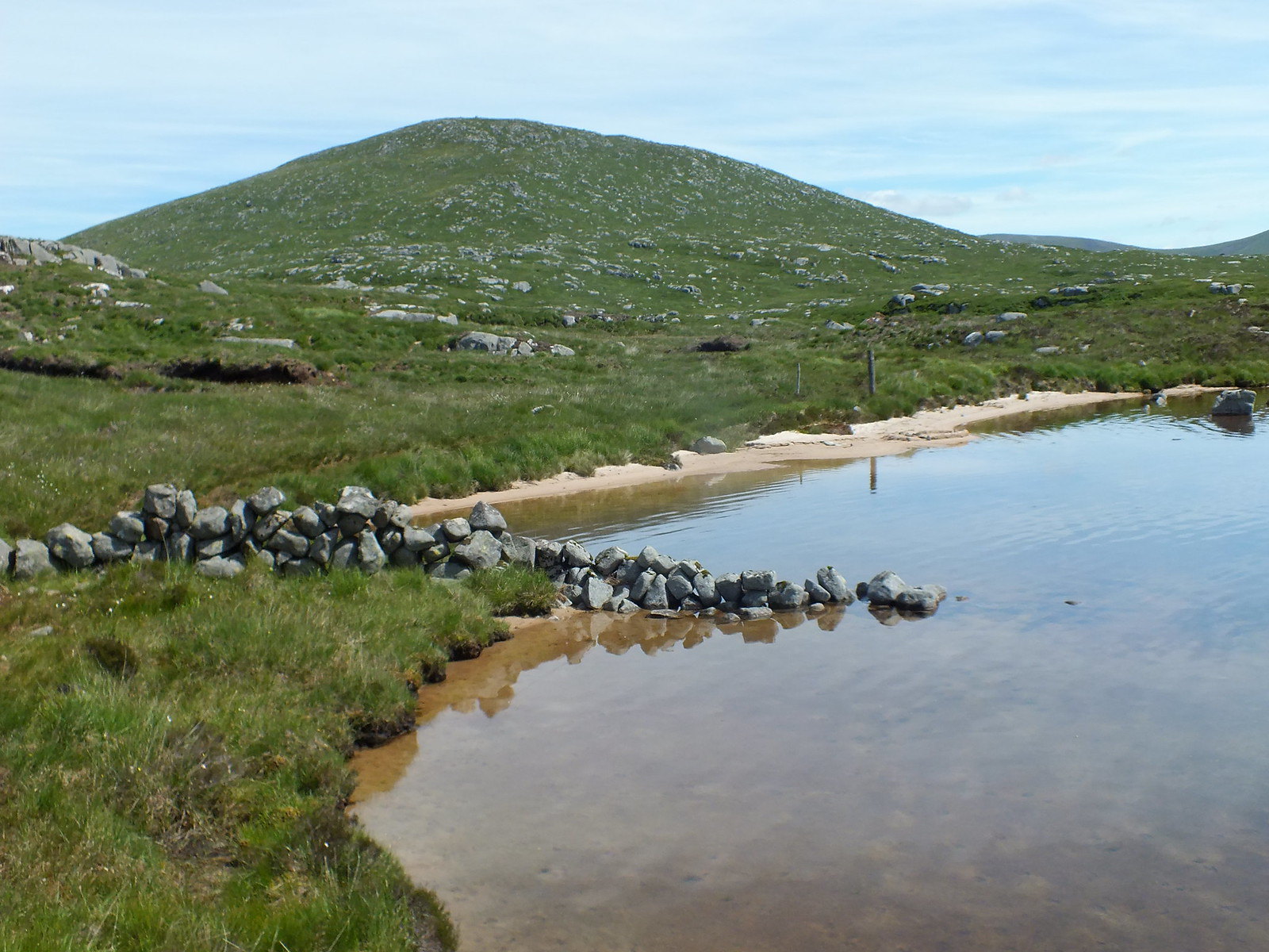
One of the many little beaches in the area, you can see Tommy's dog Max loving this area - plenty of water to swim in

Looking back along the beach, Craignaw in the background, we descended on the left as you look at the hill
Looking across Neldricken to Craignaw

There you are, look how good the path is

Loch Valley

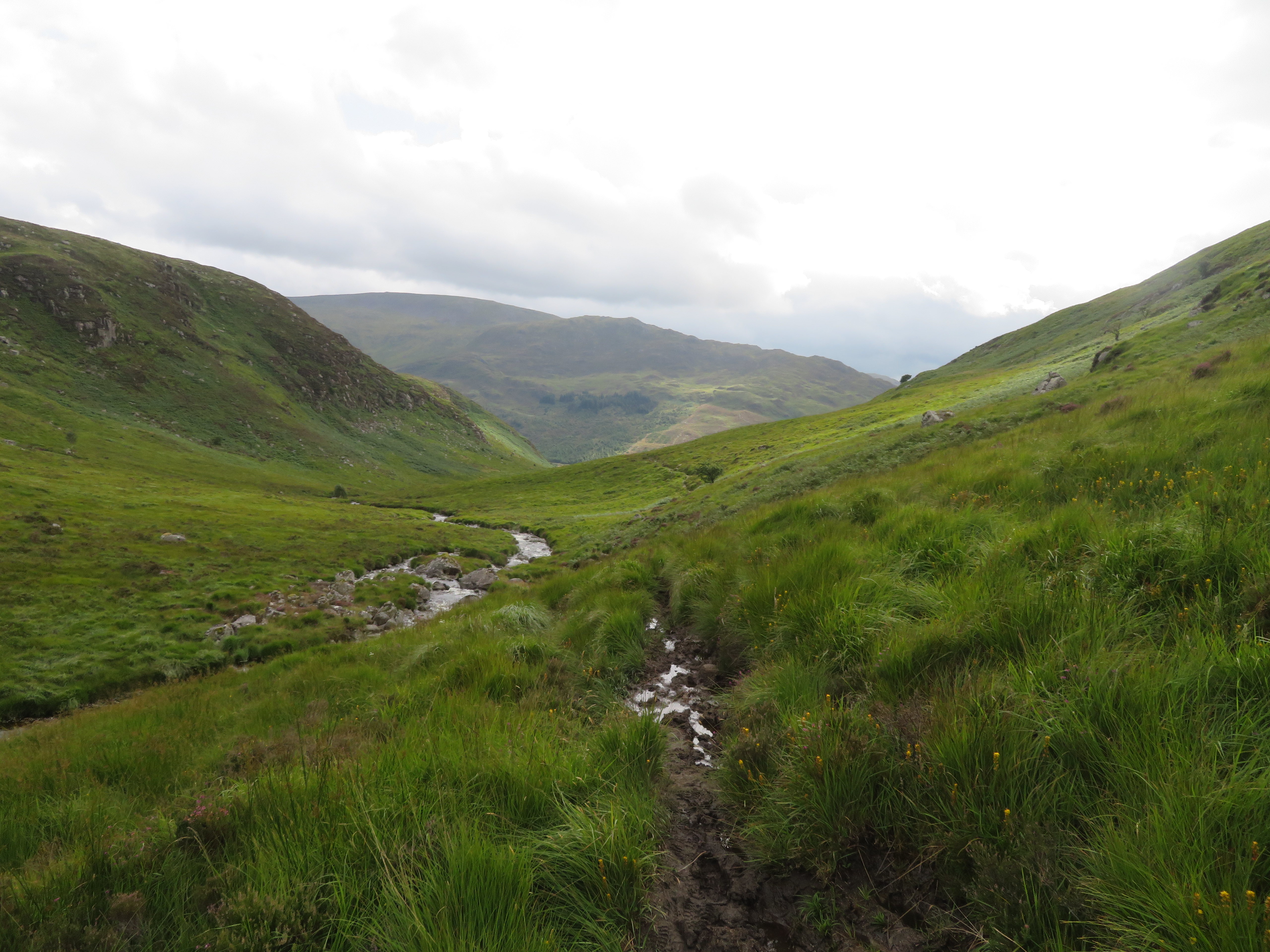
Gradual descent, the good news there wasn't much ascending

The way ahead and down

We are obviously lower as the bracken is trying to takeover

Loch Trool, the good news is we are getting close to the car

Love this
Parminder is in there somewhere
A few photo's borrowed from my colleagues, this is one of the better parts of the descent path

Quite a few local wild goats
The end of another journey, just like my previous round of Donald's I really do enjoy the Borders and what they have to offer. I know they don't have pointy summits and scary ridges but they still have remoteness and you can plan your route to be as short or as long as you want.
Next on the horizon for us is to try and compleat the Munro's, unfortunately we are a victim of Covid and that won't be happening this year. Parminder has 22 left and I have 25 left on my second round. We will certainly manage a few more before the end of the years as we have a couple of weekends away planned, first Torridon and then Ullapool, they are ideal for us as it will save the long drives.
