free to be able to rate and comment on reports (as well as access 1:25000 mapping).
We've done the WH route along the Parallel Roads from the viewpoint in Glen Roy a couple of times and often wondered what it was like further up the hill after the route starts along the Parallel Roads. When I looked at the map I found that the hill, Beinn a'Mhonicag, is a sub 2000, a good enough reason to get to the top

We wanted a short walk to get out into the fresh air so off we went to do a bit of huffing and puffing, well, it does look quite a pull up on the map

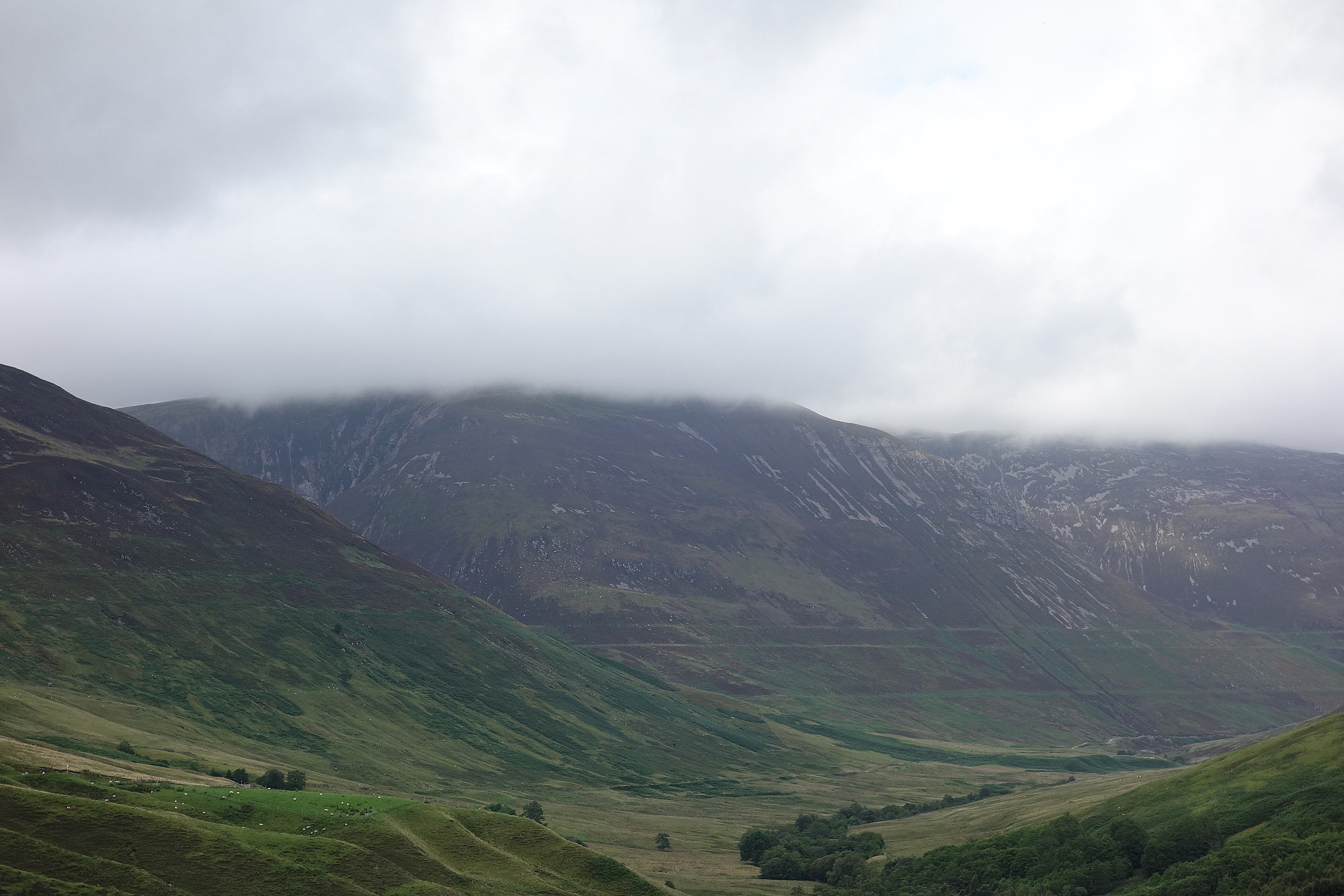
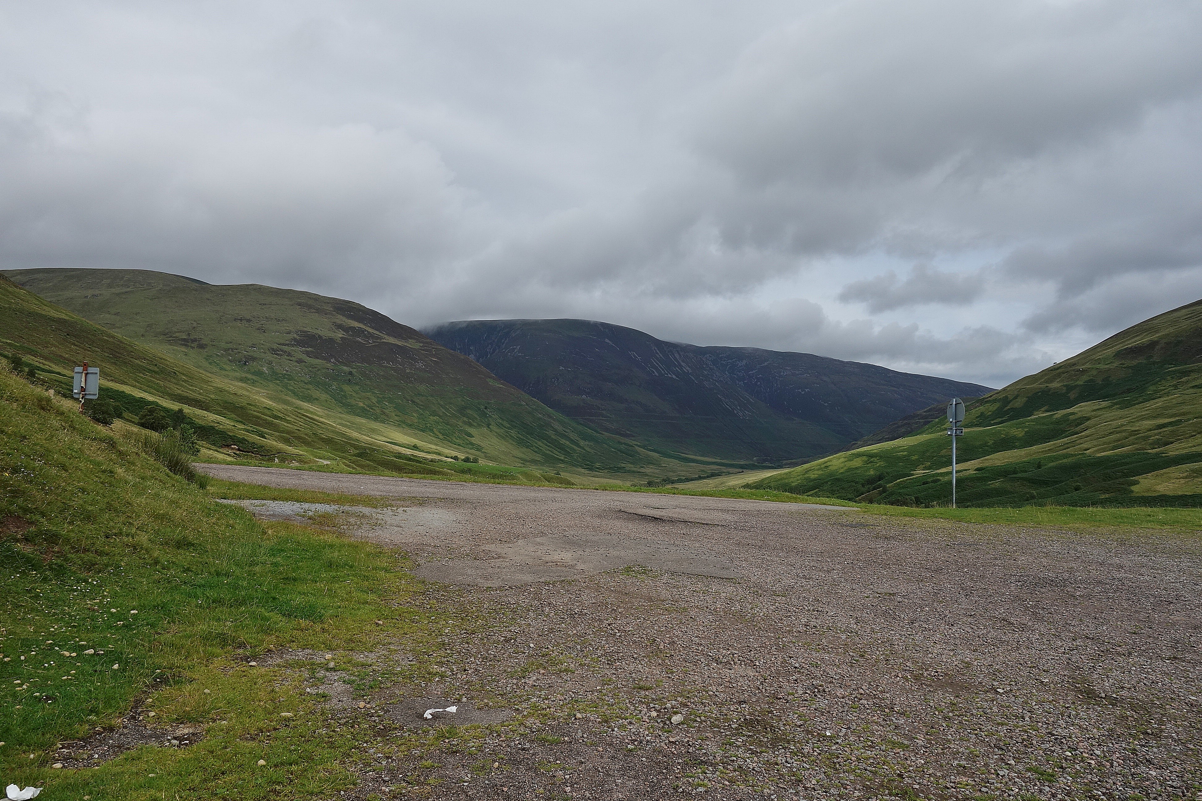
After a lazy morning we set off on the short drive up the glen from Bunroy and parked up at the viewpoint, It was around 11 so we decided to have our lunch on the top and then return to the car. It was a bit overcast and the clouds were covering the higher tops, there was no threat of rain, it was warm, so boots on and off we went.

It is quite a stiff pull up to the summit and I was feeling it a bit, the warm air was energy sapping, Denise was willing me on the temptation to stop and take photo's (often) was getting stronger but I managed to resist temptation and kept plodding on, a nice cooling rain shower would have been very welcome

To be honest it's not a bad climb, we reached the top about 50 minutes after leaving the viewpoint with hardly any photo's taken


There are two cairns on the top of Beinn a'Mhonicag so we visited them both.

We took the larger one to be the summit they're about a 80m apart and look to be at the same height.

The hills around were losing their clouds so we looked at extending our walk to take in another top.
Leana Mhor east

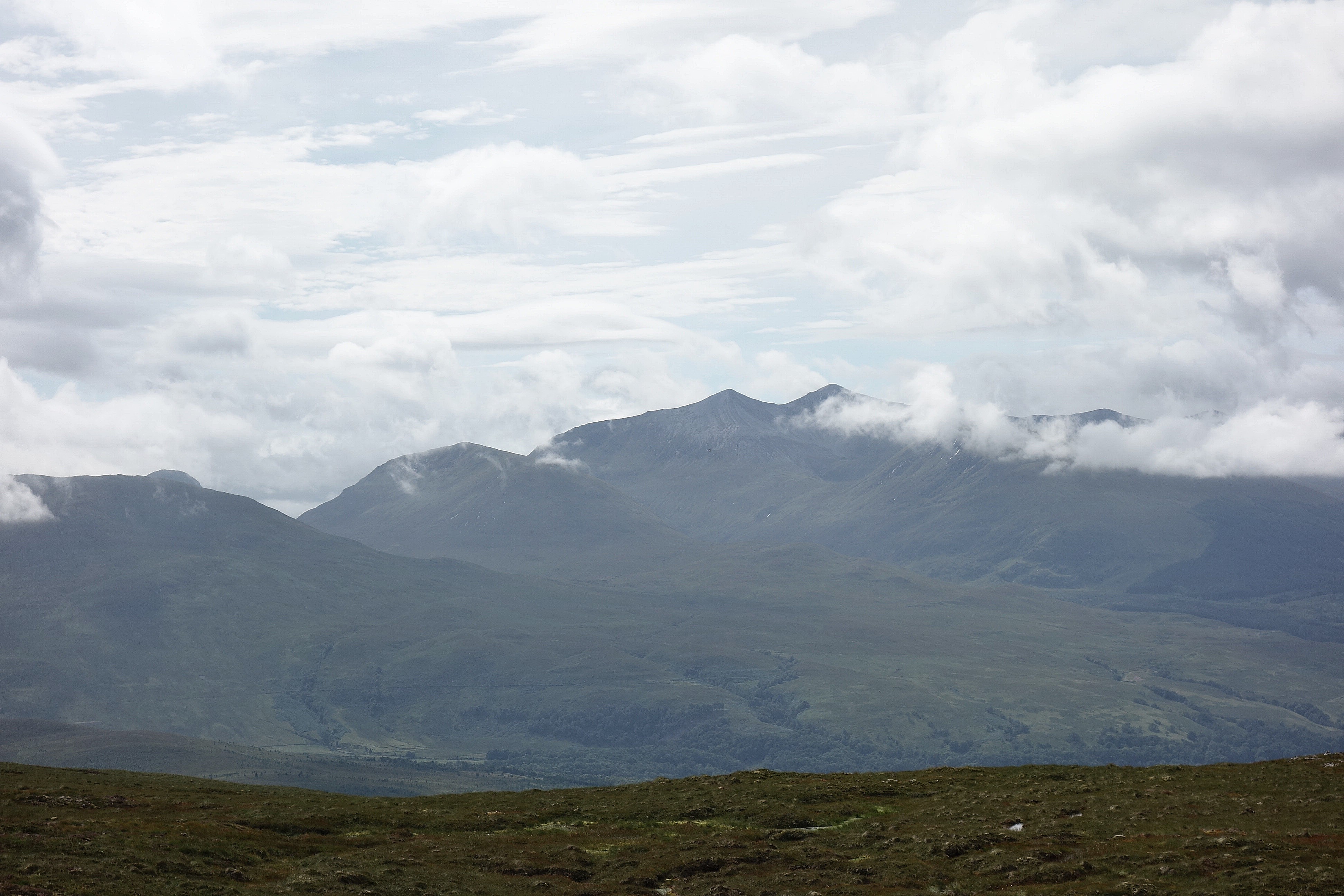
Grey Corries
We had a look around for a suitable lunch spot, it's quite flat and featureless on the summit and we wanted a view so, after a quick look at the map, we decided to head NNE and go down the ridge and find somewhere down there. Looking across to Leana Mhor, the west one, we decided that would be our extension to the walk.
It's a bit of a steep descent from the summit and finding our way down avoiding the craggy bits took our minds off "lunch with a view"
so we thought something to eat by the Allt Bruachan would be nice. When we got to the burn at around NN292866 we looked back, it was a lot steeper than the photo suggests

We looked up at our next objective, had a quick snack and carried on, we'll have lunch on Leana Mhor instead, we suggested

There's no path up Leana Mhor from here so it was a case of "off piste" straight up on a compass bearing as close to 330degs as possible or just keep going up hill and head for the 596m spot height as we ended up doing
There's a lot of up hill, we eventually arrived in the little dip between 596m and the summit, from there it's a steady climb to the top.
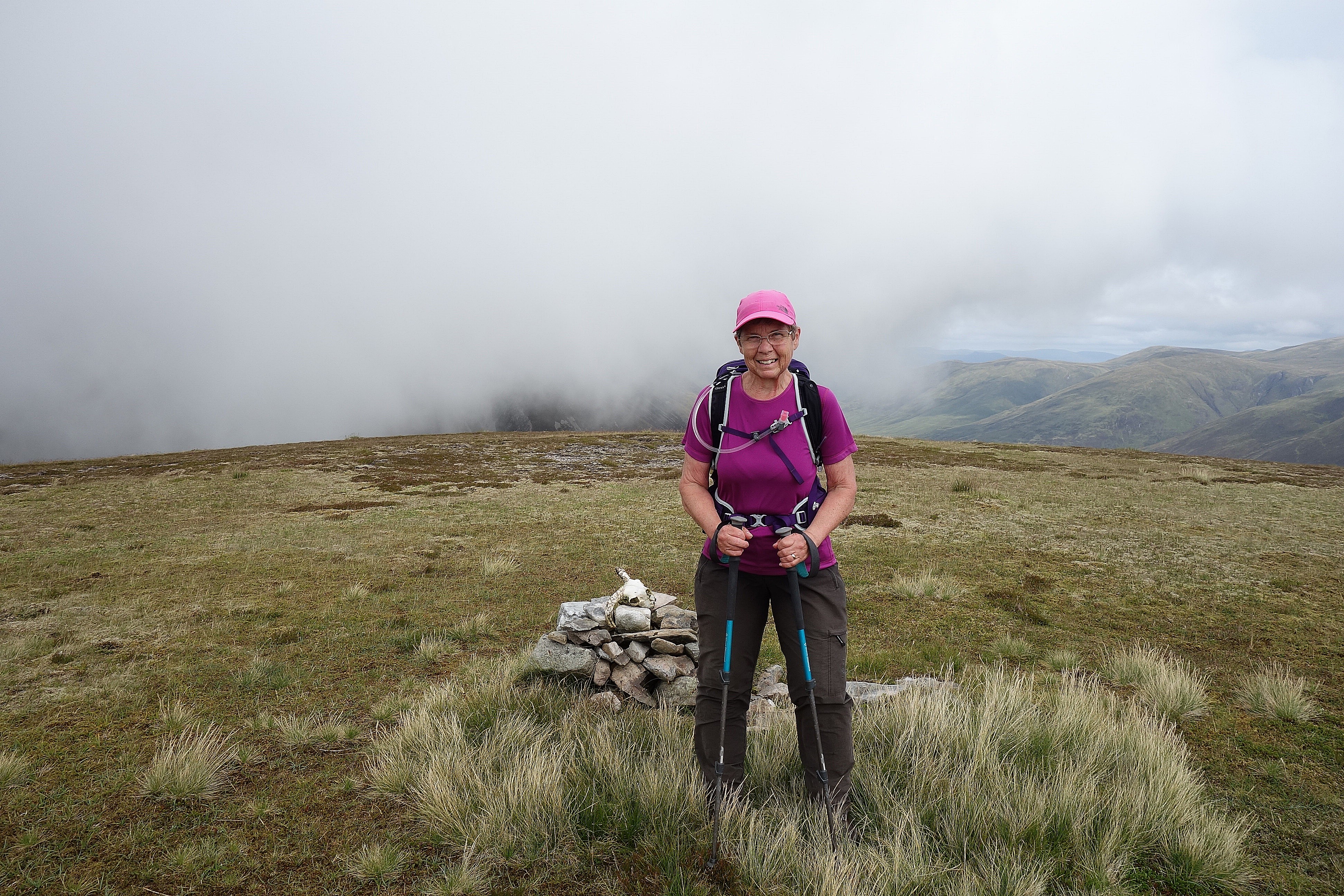
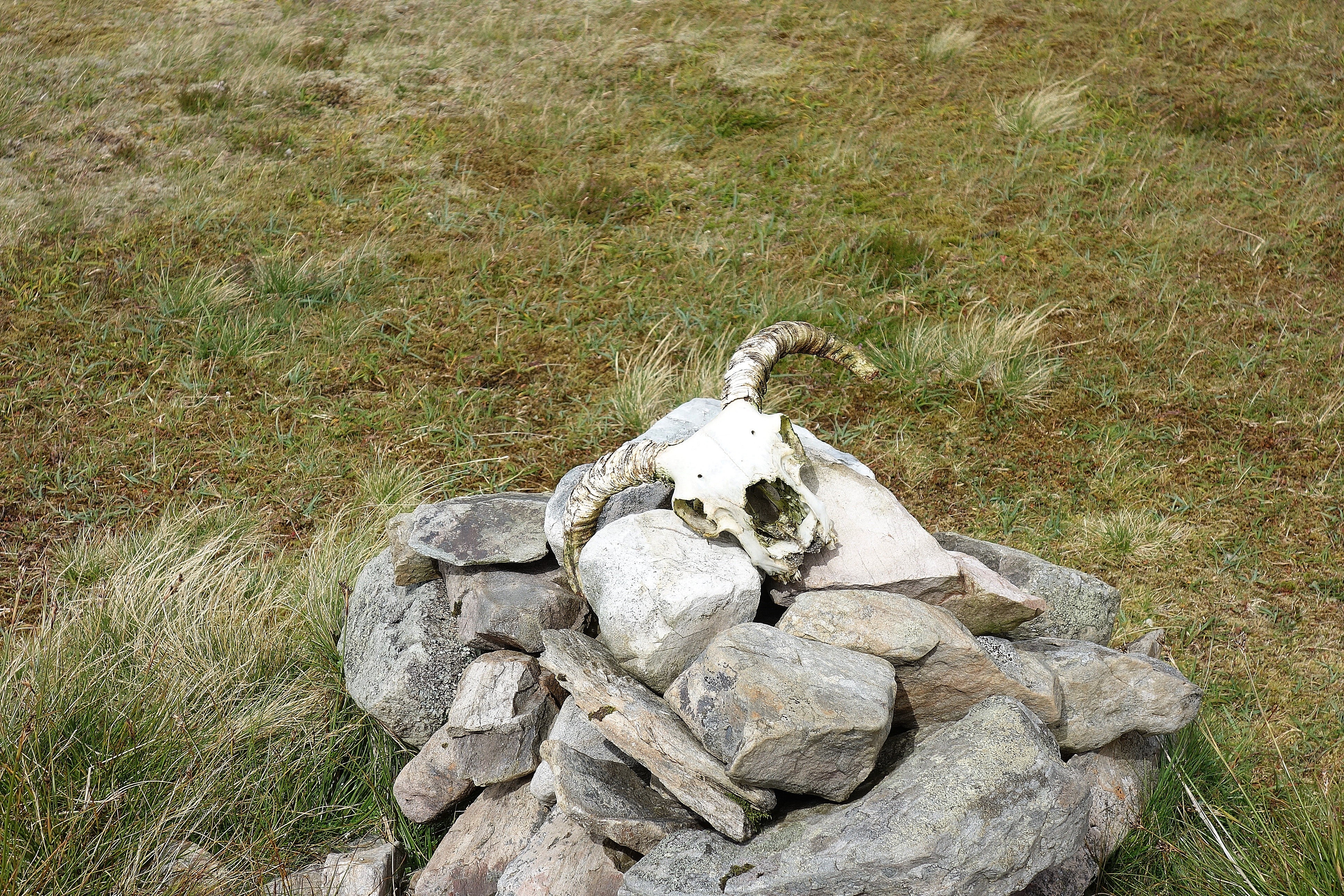
The cairn on the summit has a rather macabre decoration, I hope the rest of it isn't under there
The clouds were swirling around Beinn Laruinn next door, another possible extension to our walk? but, no, the clouds didn't look like they were lifting anytime soon and we didn't want a long road walk back to the car.

And the views were a little subdued


I think that's The Window on Creag Meagaidh

So we had a quick snack and set off back the way we'd come, still no lunch
Beinn a'Mhonicag

When we reached the burn we followed the track down to the road and then the road back to the viewpoint.
When we got to the viewpoint we had a brilliant idea, "lets have lunch" we said, so we sat down by the information board and had lunch, it was a long way round to have some lunch, but we did get some views