free to be able to rate and comment on reports (as well as access 1:25000 mapping).
After a lovely April came the worst, wettest and windiest May since I can recall. The only hill we were able to climb was Cnoc Croit na Maoile (319m) which we did in pouring rain

. And as I have become addicted to writing reports I would feel awful if I didn't post anything for a long time, today I'm turning on my "mountain time machine" and going back to March 2010.
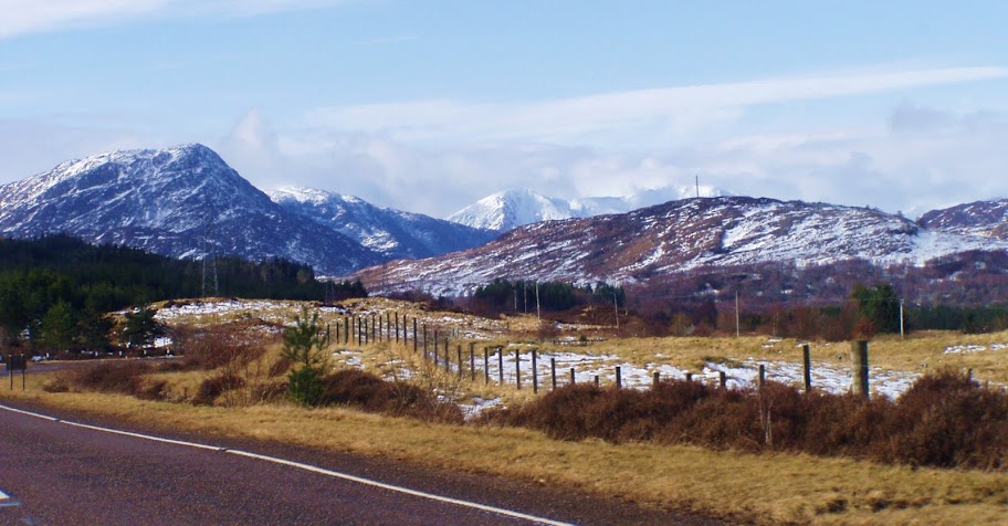
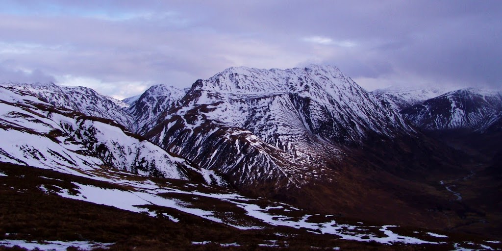
It was a cloudy day in Beauly but forecast suggested sunny spells to the west so we took the gamble and drove towards Kintail. It paid off - as we passed through Glen Shiel, I found myself glued to the side window...
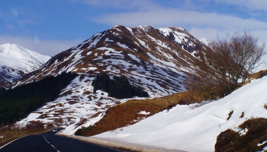
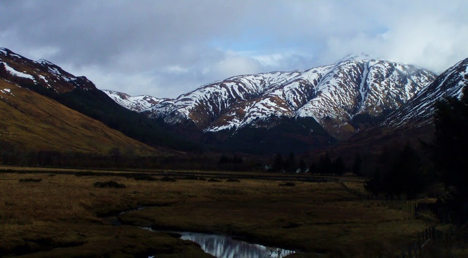
Approaching Glen Shiel from the east:
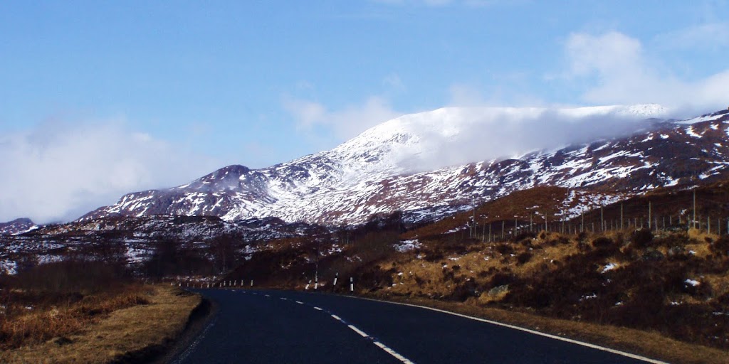
Frozen Loch Cluanie:
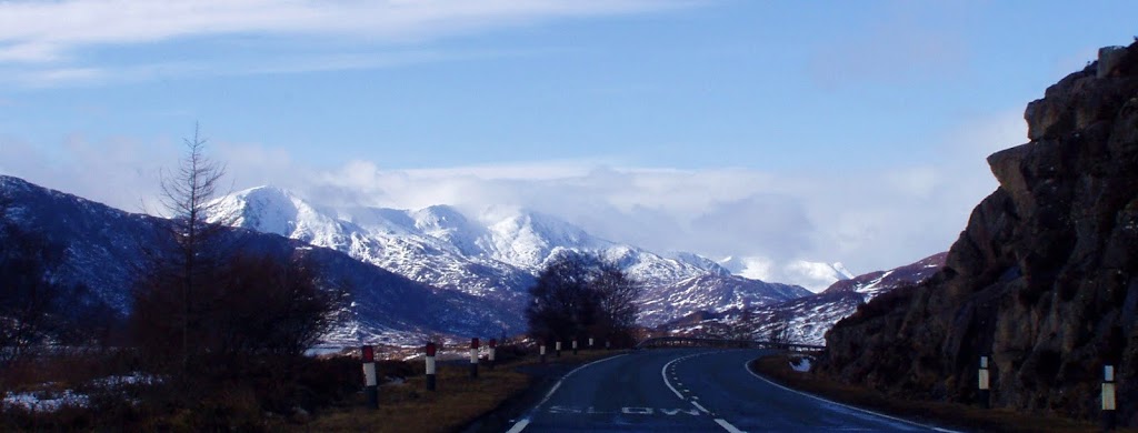
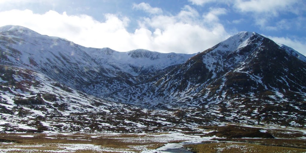
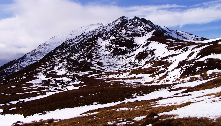
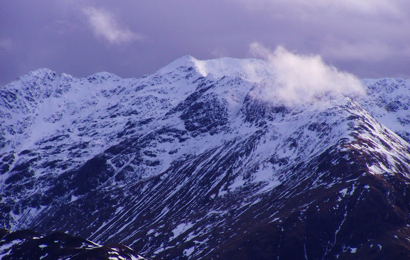
Am Bathach in snow:
South ridge:
Unfortunately, when we reached Shiel Bridge, grey clouds appeared on the western sky.
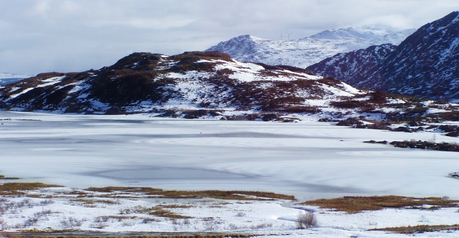
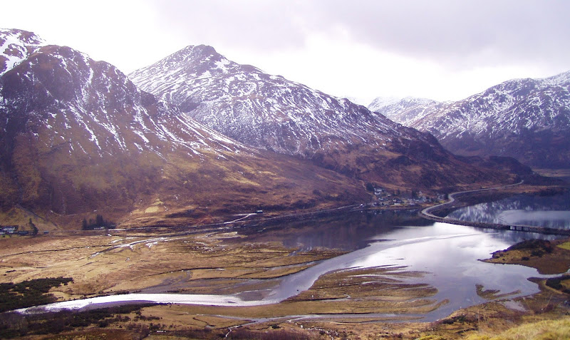
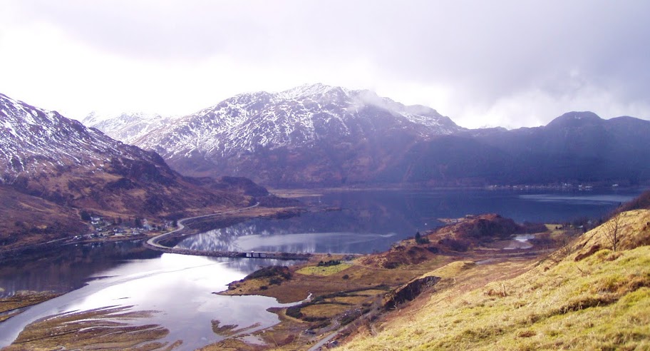
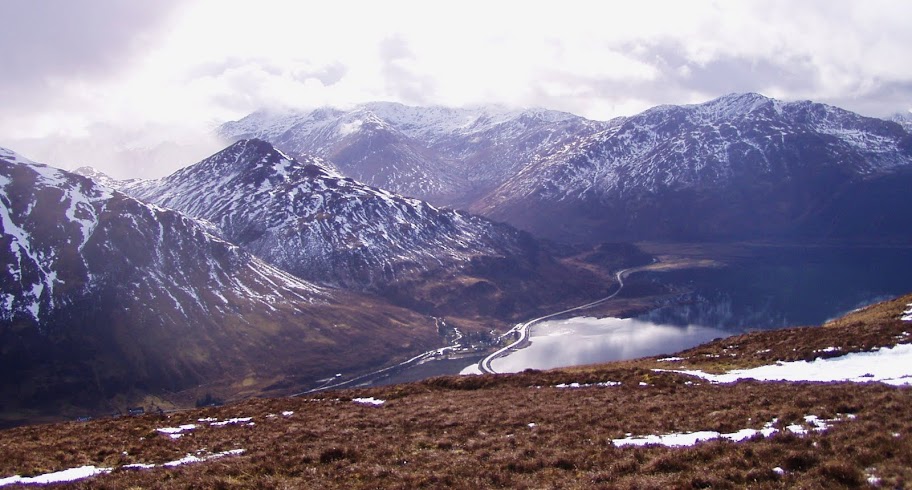
Loch Duich:
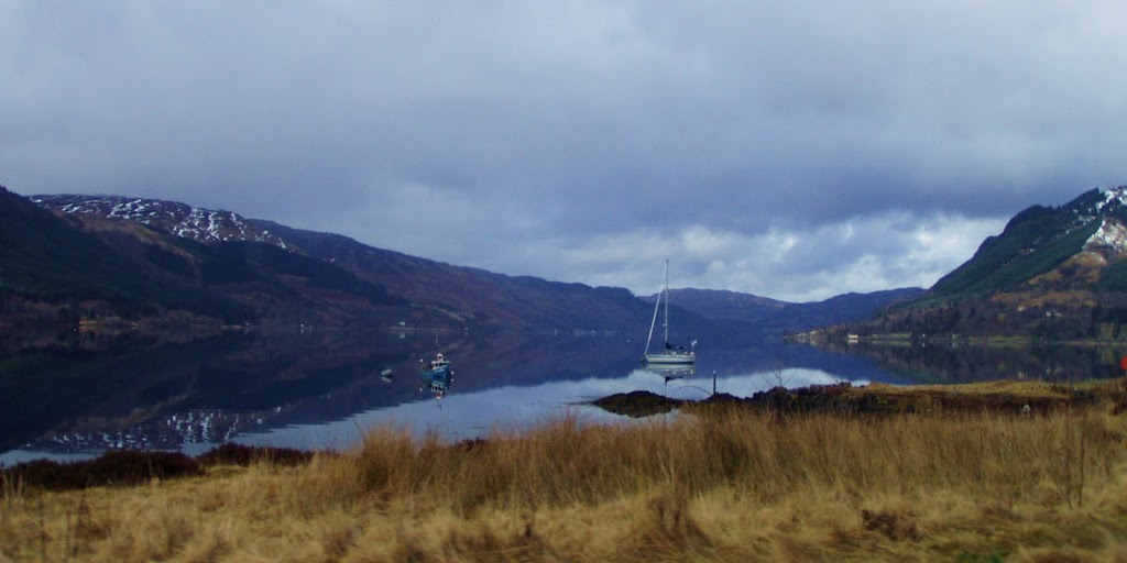
One positive thing - not much wind, the waters of Loch Duich looked like a mirror:

We weren't entirely sure how the weather fronts were going to develop so we picked one quick and easy Corbett just in case we had a fast way back if it turned really nasty. Besides, higher mountains had their heads in clouds

Our route:
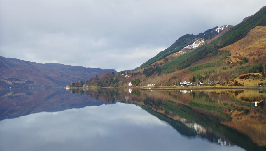
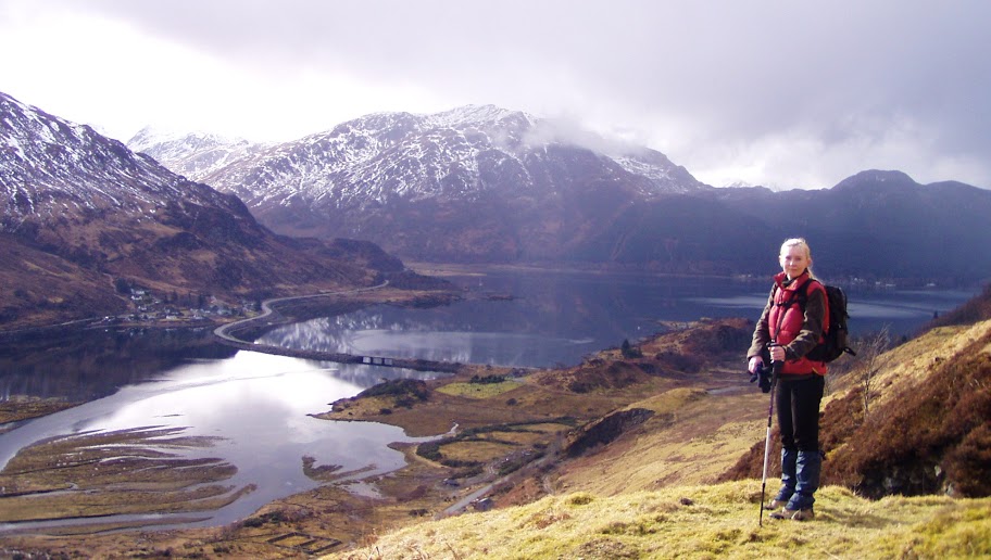
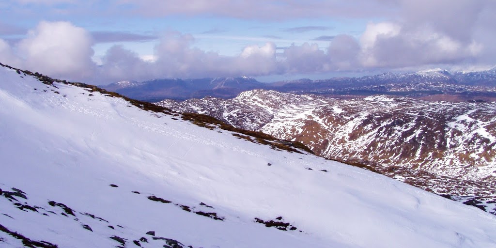
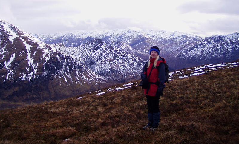
So Sgurr an Airgid it was. We parked at the car park in Morvich and walked along the road through Croe Bridge, later turning to a minor road to Lienassie. The beginning of the path to Sgurr an Airgid wasn't that easy to find, luckily we met a friendly local who showed us the way. Once we started climbing up the boggy path, we were rewarded with this lovely view down to Loch Duich and surrounding mountains:
And Sgurr a Choire Ghairbh:
I was glad we took the risk that day...
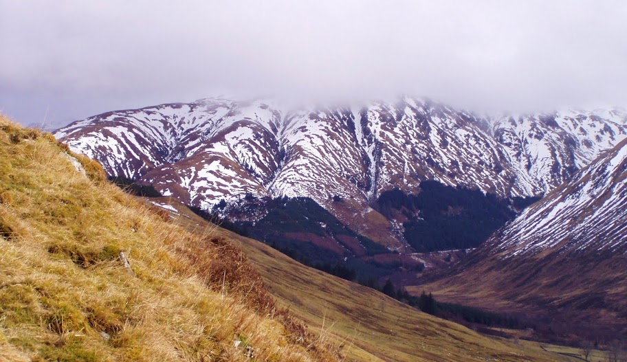
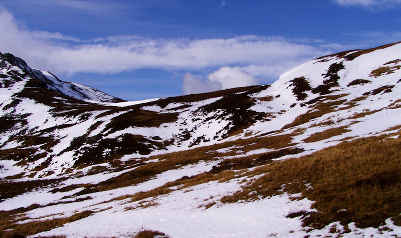
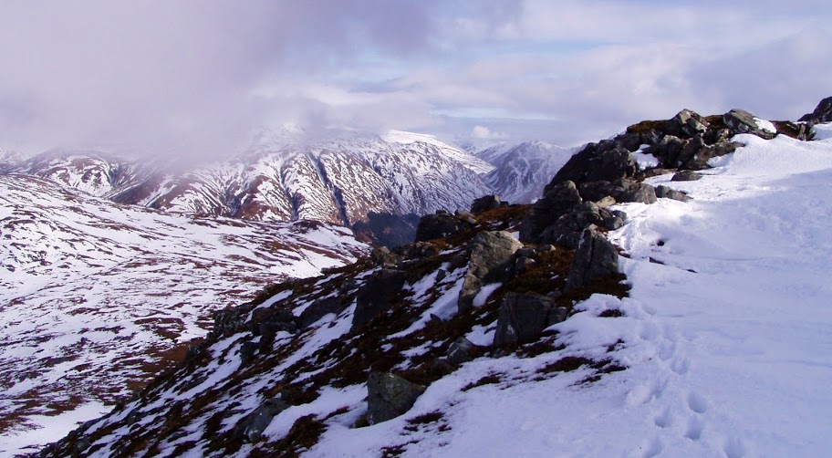
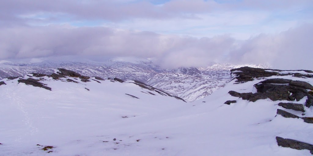
Path zigzagged up the slope and soon we reached the higher ground, where it was hard to find under snow. We gave up the path and headed across the snow towards the summit. The best views were still to our left and as clouds started to lift we were lucky to see the summits of both sides of Glen Shiel:
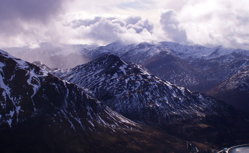
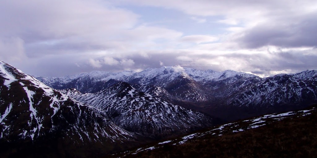
With some "moody" clouds above them, the hills looked dangerous!
We focused our attention on getting to the top - here still with nice blue sky above the Corbett summit and the top of the ridge:
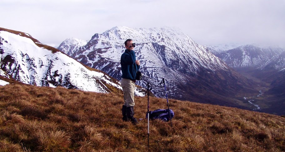
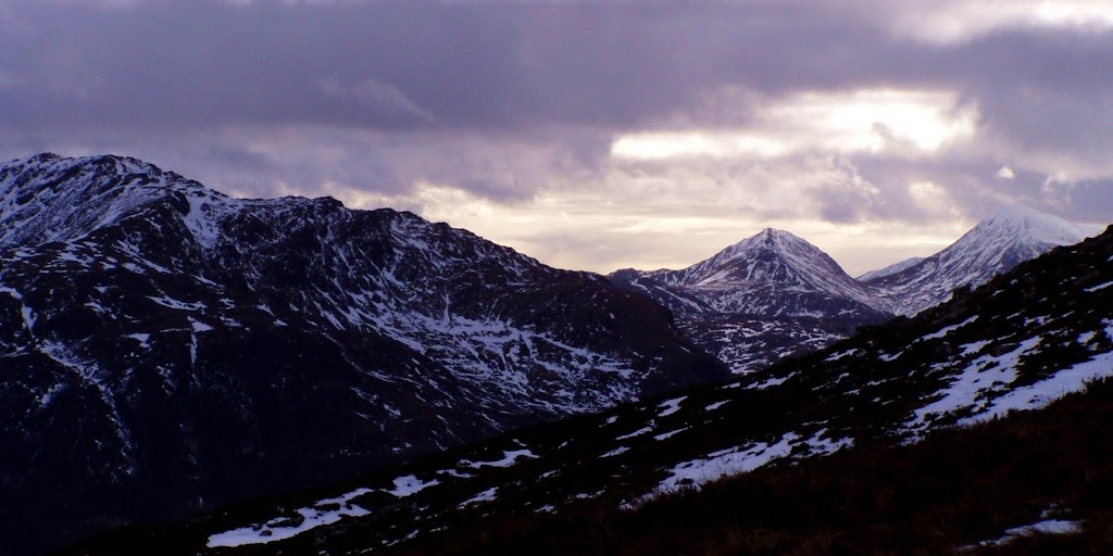
It looked like we run away from the bad weather hanging over Sgurr a Choire Ghairbh and Ben Attow. Kevin stopped for a few minutes and grabbed his camcorder:
But I was eager to quickly climb up to the summit:
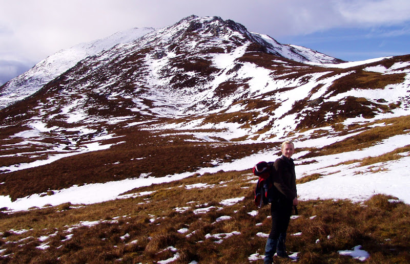
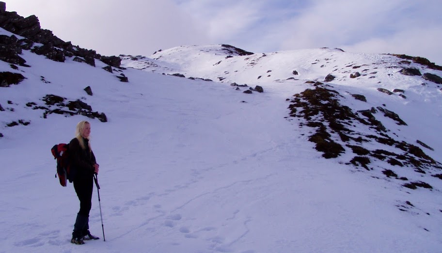
When we reached the ridge and gradient eased off, I was convinced it would be a stroll from now on. But I was wrong. Snow cover was so deep in places that we had to maneuver quite a bit between rocks and slabs to make sure we didn't sink up to out thighs. Still, we had a lot of fun

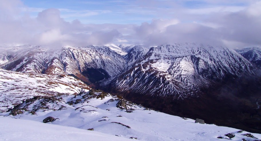
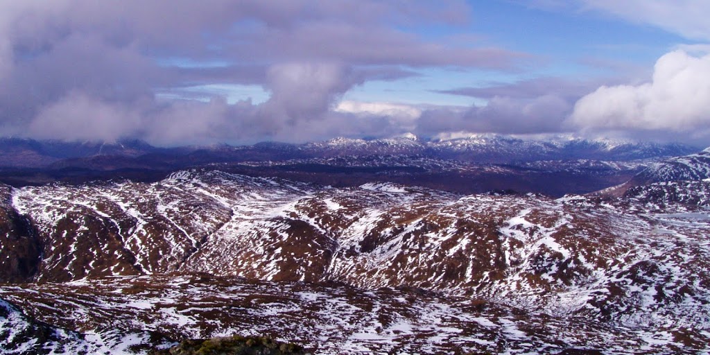
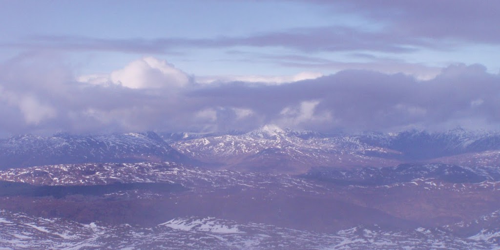
Pano to the east...
...north...
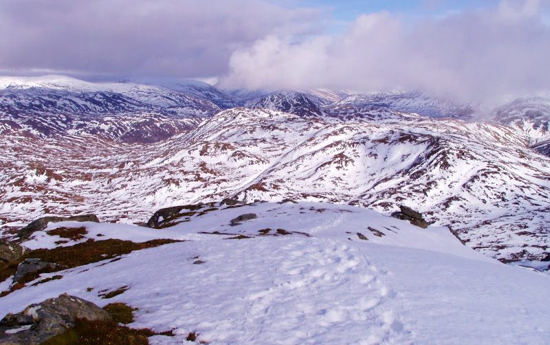
... and to the west.
It may not look like it, but snow was really deep in places:
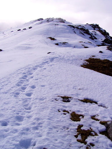
The last push to the summit:
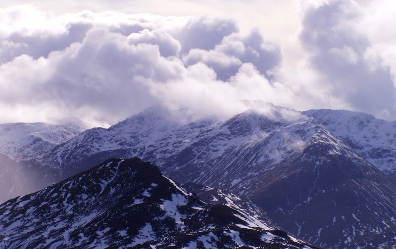
Moody mountains:
Gleann Lichd:

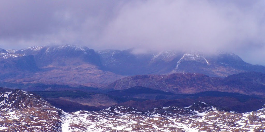
I hoped to get good views towards Isle of Skye but clouds were still hanging here and there - in all directions:
The cliffs of Applecross looking so impregnable...
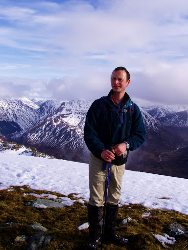
Kevin on the summit ridge:
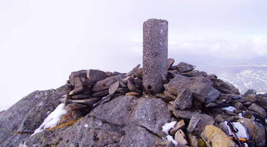
Finally we landed by the trig point and... our hopes to see Isle of Skye were... hmmm... clouded over
The trig point:
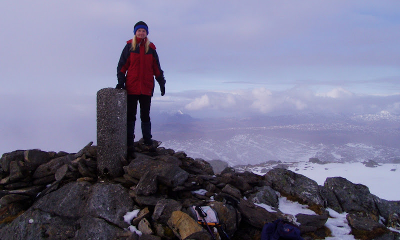
That's where Skye and Lochalsh should be !!!
Posing with the trig point. Meow!
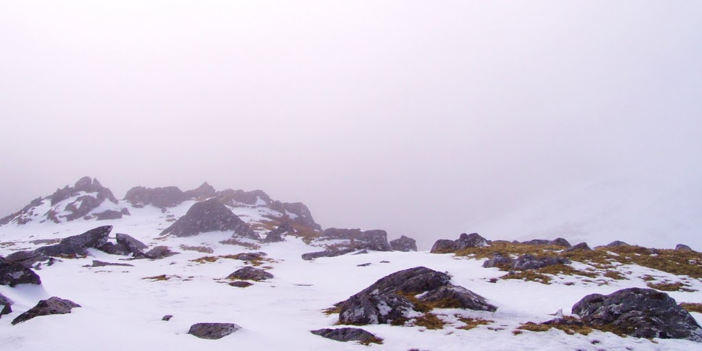
Views from the top were all a bit misty:
Well, we might not have seen Skye and Lochalsh from above, but all in all it was a lovely climb. As we headed back down, we got a second prize of these great sundown moments:
What else to say? I simply love Scottish mountains!
I love them even in bad weather but I hope to get some good days soon... My Skye holidays are coming!
