
Crianlarich Hills - Cruach Ardrain & Beinn Tulaichen
On Saturday 11th June 2011, Peter and I headed for Cruach Ardrain and Beinn Tulaichen on the A82 at Crianlarich.
Conditions were ideal all the way from Glasgow but as soon as we got out of the car it started to drizzle.
We parked up at the long carpark off the A82 and hit the cowfield and the underpass of the railway, up the landrover track which you head left for Cruach Ardrian or right for An Caisteal, so we peeled off left down the sub path to the rickety old bridge. There is no track at this point, we stuck to the fence beside the conifer woodsand then started to cut diagonally onto the ridge, where we picked up the official path.
The track is undulating and eventually gets to the steeper ascent up Cruach Ardrain, which splits at around 3000 feet, to the right the path down to the beallach and back up to Beinn Tulacihen. This is clearly marked by a small cairn. As the clouds had moved in we decided to follow this track first and then you return to the same pint. An easy ascent of a few hundred feet then got us our 2nd munro of the day Cruach Ardrain.
The clouds came and went, so we got a bit of a view.
We returned via the same route but cut off diagonally left long before the path finished to descend down to the rickety old bridge and back along the landrover track to the car.
[youtube]http://www.youtube.com/watch?v=gpwoN_zzqLw[/youtube]
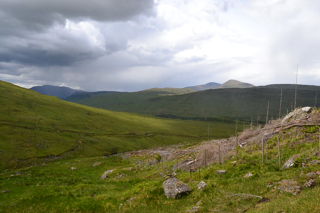
This is the landrover track and the subtrack down to the rickety old bridge:
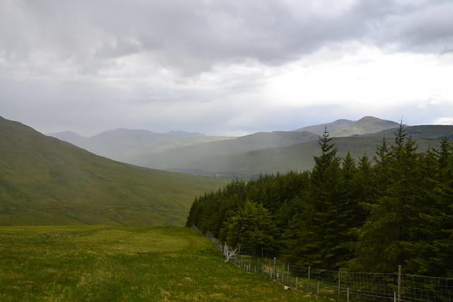
Climb along the forest's edge (good for sheltering from the rain too!):
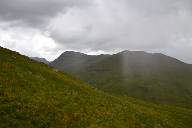
Localized rain shower:
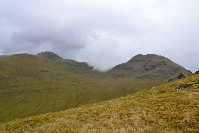
Onto the ridge now, view of Cruach Ardrain and the other ridge (it's Y shaped):
And now the cloud is spilling in:
Gully with Mighty Ben More behind:

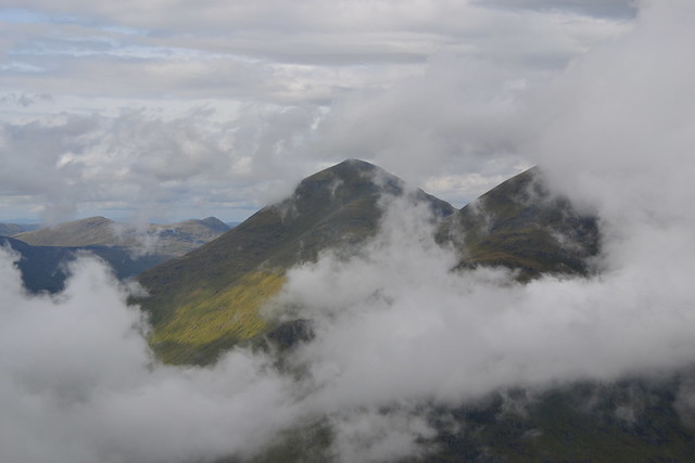
Cloud clears to allow us to see Beinn Tulaichen from Cruach Ardrain:
And now we can see the summit of Cruach Ardrain:
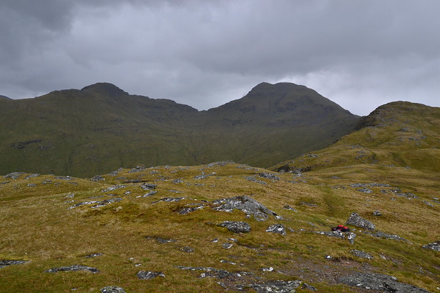
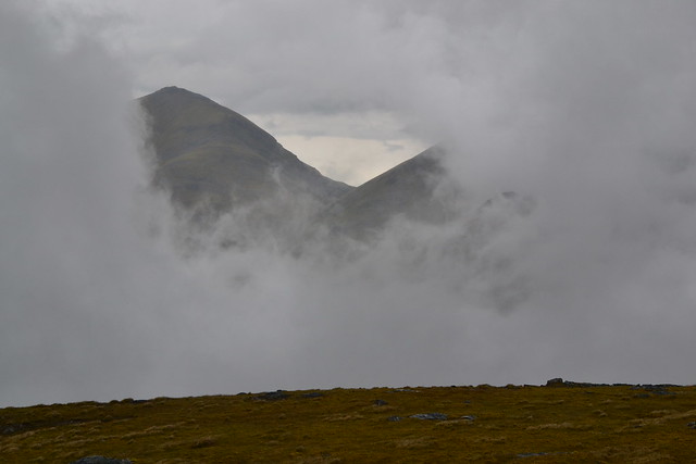
The beallach between the BIG TWO:
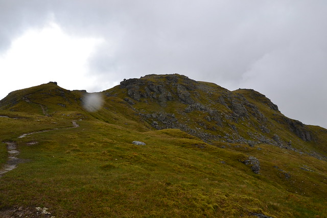
Looks as though the weather is going to improve:
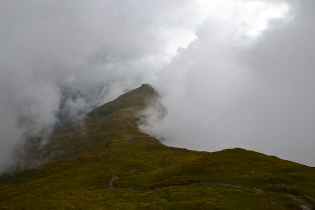
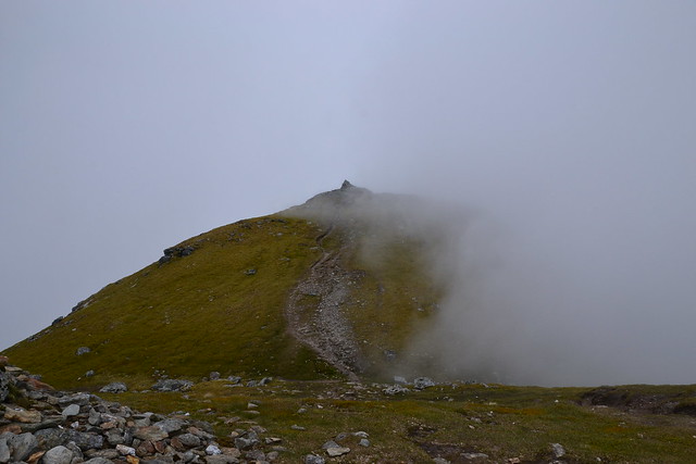
Almost at the summit of Cruach Ardrain:
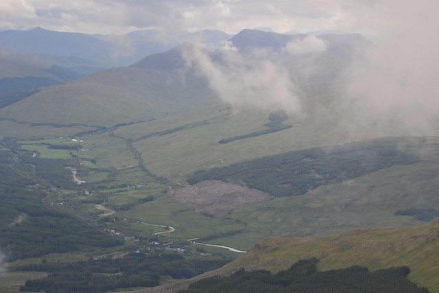
View up to Tyndrum from Crianlarich with Ben Nevis behind:
Me at the summit with that cloud rolling in again:

Conditions were ideal all the way from Glasgow but as soon as we got out of the car it started to drizzle.
We parked up at the long carpark off the A82 and hit the cowfield and the underpass of the railway, up the landrover track which you head left for Cruach Ardrian or right for An Caisteal, so we peeled off left down the sub path to the rickety old bridge. There is no track at this point, we stuck to the fence beside the conifer woodsand then started to cut diagonally onto the ridge, where we picked up the official path.
The track is undulating and eventually gets to the steeper ascent up Cruach Ardrain, which splits at around 3000 feet, to the right the path down to the beallach and back up to Beinn Tulacihen. This is clearly marked by a small cairn. As the clouds had moved in we decided to follow this track first and then you return to the same pint. An easy ascent of a few hundred feet then got us our 2nd munro of the day Cruach Ardrain.
The clouds came and went, so we got a bit of a view.
We returned via the same route but cut off diagonally left long before the path finished to descend down to the rickety old bridge and back along the landrover track to the car.
[youtube]http://www.youtube.com/watch?v=gpwoN_zzqLw[/youtube]
This is the landrover track and the subtrack down to the rickety old bridge:
Climb along the forest's edge (good for sheltering from the rain too!):
Localized rain shower:
Onto the ridge now, view of Cruach Ardrain and the other ridge (it's Y shaped):
And now the cloud is spilling in:
Gully with Mighty Ben More behind:
Cloud clears to allow us to see Beinn Tulaichen from Cruach Ardrain:
And now we can see the summit of Cruach Ardrain:
The beallach between the BIG TWO:
Looks as though the weather is going to improve:
Almost at the summit of Cruach Ardrain:
View up to Tyndrum from Crianlarich with Ben Nevis behind:
Me at the summit with that cloud rolling in again: