free to be able to rate and comment on reports (as well as access 1:25000 mapping).
This is our first walk report for WalkHighlands. We've been so impressed with the WalkHiglands community and website, and rather fear this post will be very prosaic compared with most, but in case it's of any interest, here goes...
There is by the way active conservation interest in this area, as it is currently part of a hydro-electric proposal. Hence the choice for our first post...
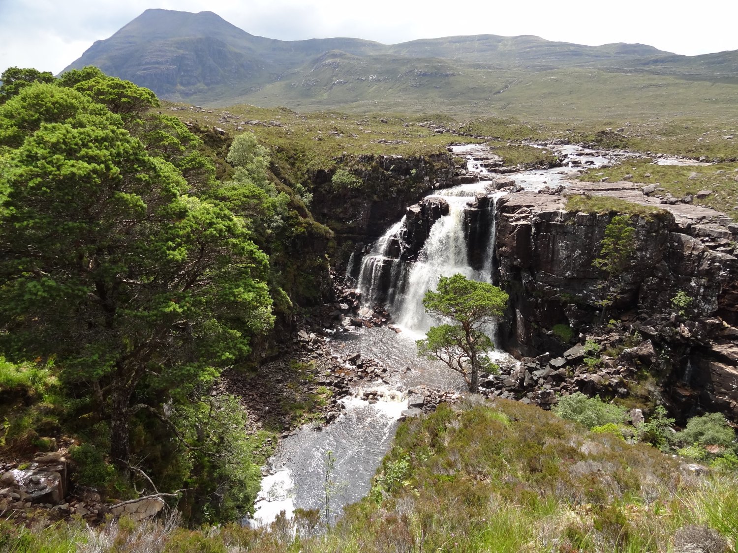
This was an exhilarating walk for us - aided by some wonderful light, and great conditions for viewing what could be Scotland's most underrated waterfall? Even though we didn't quite make it to the top of Beinn A'Chearcaill, or anything else... This really didn't detract from the day, so blessed were we with space, light and colour. Before we waffle too much, here is a photograph of our first objective, the Talladale Falls:
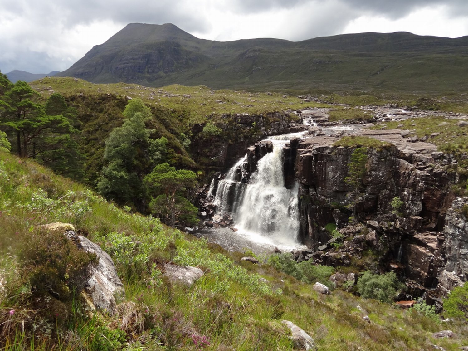
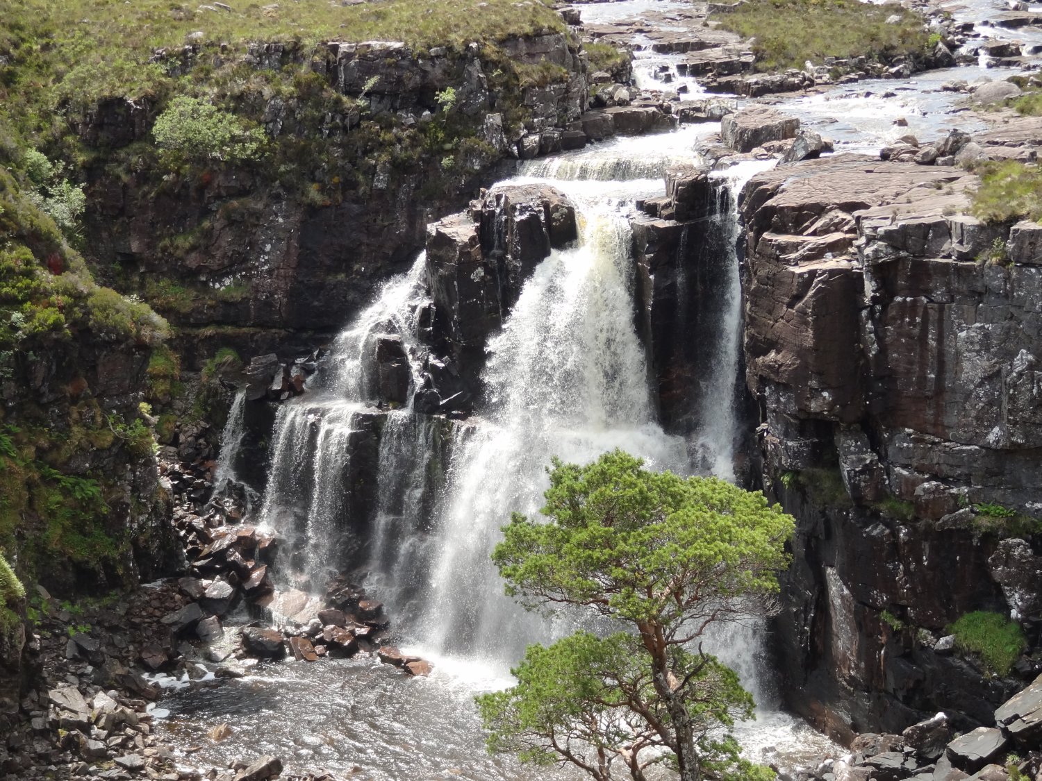
We were very lucky to catch them after a night of torrential rain, but in bright light.
The weather hadn't started too well, and we were feeling pretty slow and tired, but the forecast was OK, so we prepared for a longish day out, just in case. We hoped to make it at least to the Falls.
We'd seen only seen one written reference to these Falls, this in Richard Gilbert's book, "Exploring the far north west of Scotland" (Cordee Press, 1994). He visits the Falls as part of a walk over Beinn A'Chearcaill, starting up the Grudie from the Loch Maree road, and coming back down Talladale. In the book, he writes with great enthusiasm about much of the most amazing scenery north of the Great Glen. He says that the Talladale Falls are "probably not surpassed by anything in this guidebook... It is the climax to the day, yet gets no mention in any other book I have read."
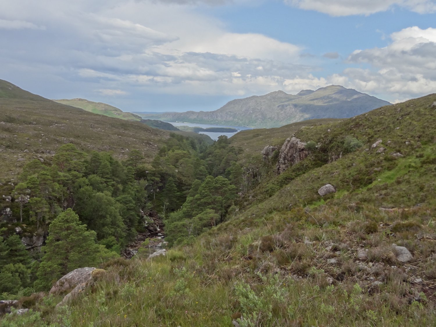
This is clearly a wilderness area even by Wester Ross standards: The Falls are at the centre of this photo, taken later on this walk from the broad shoulder of Beinn A'Cheircaill:
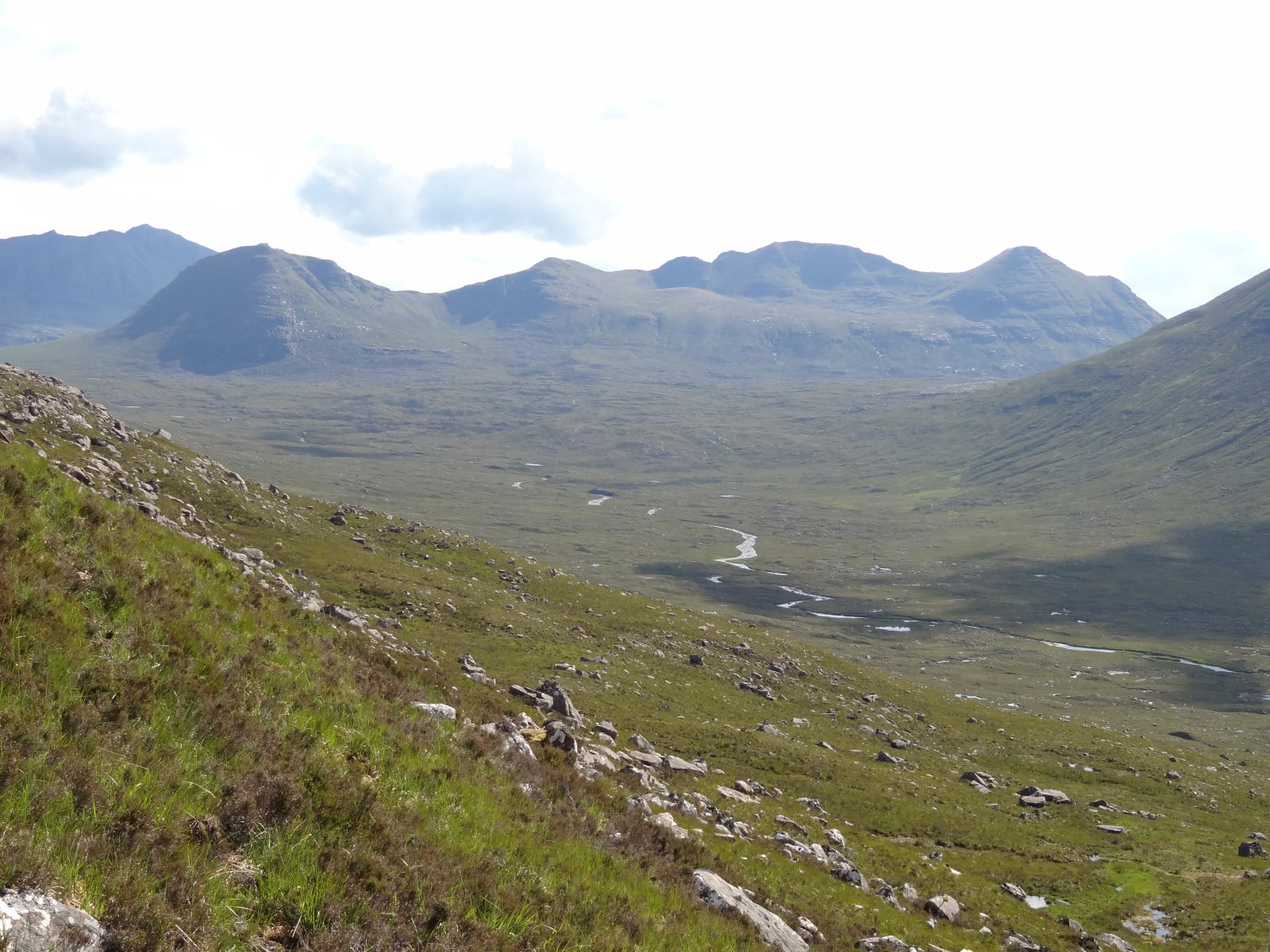
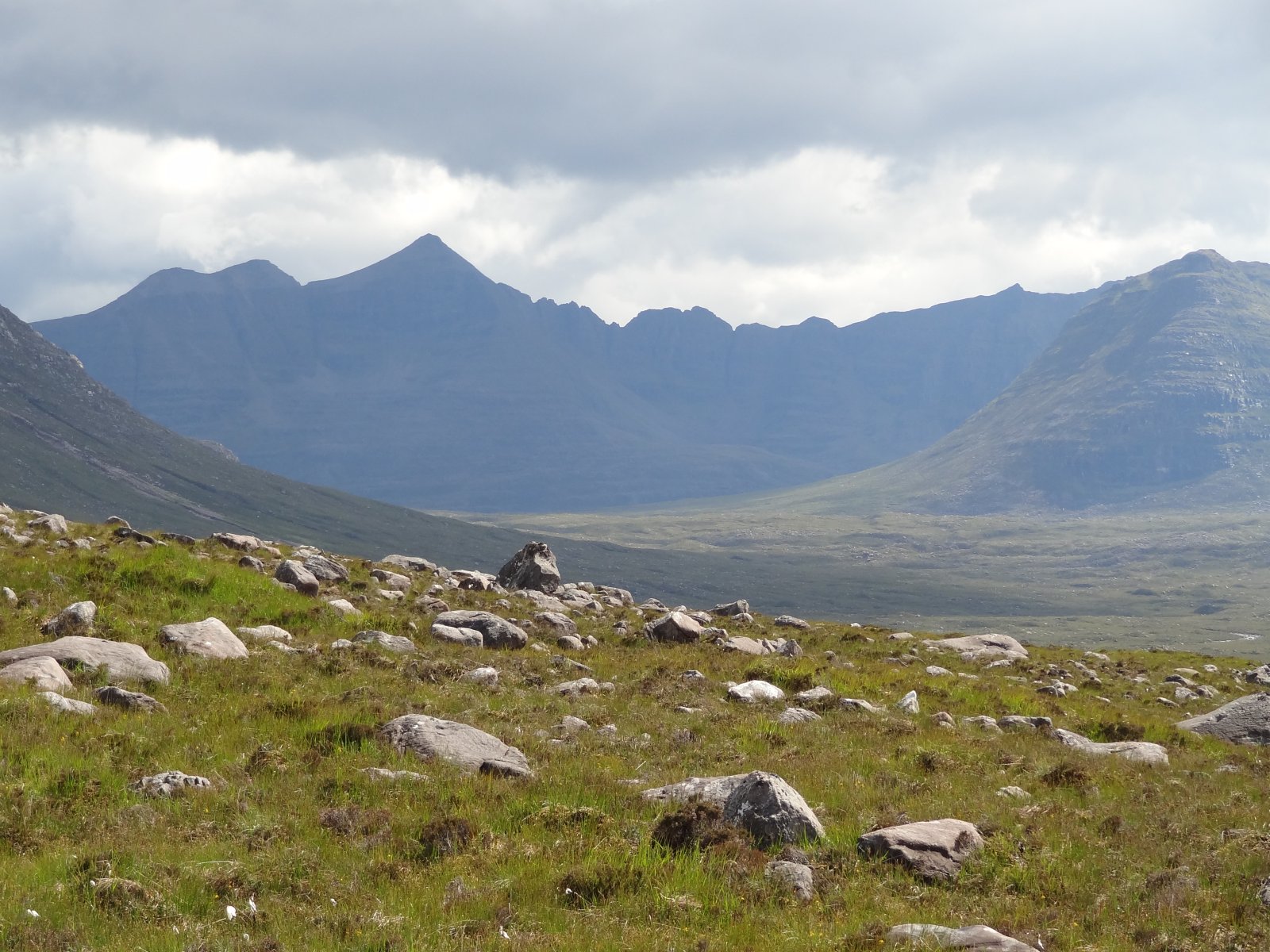
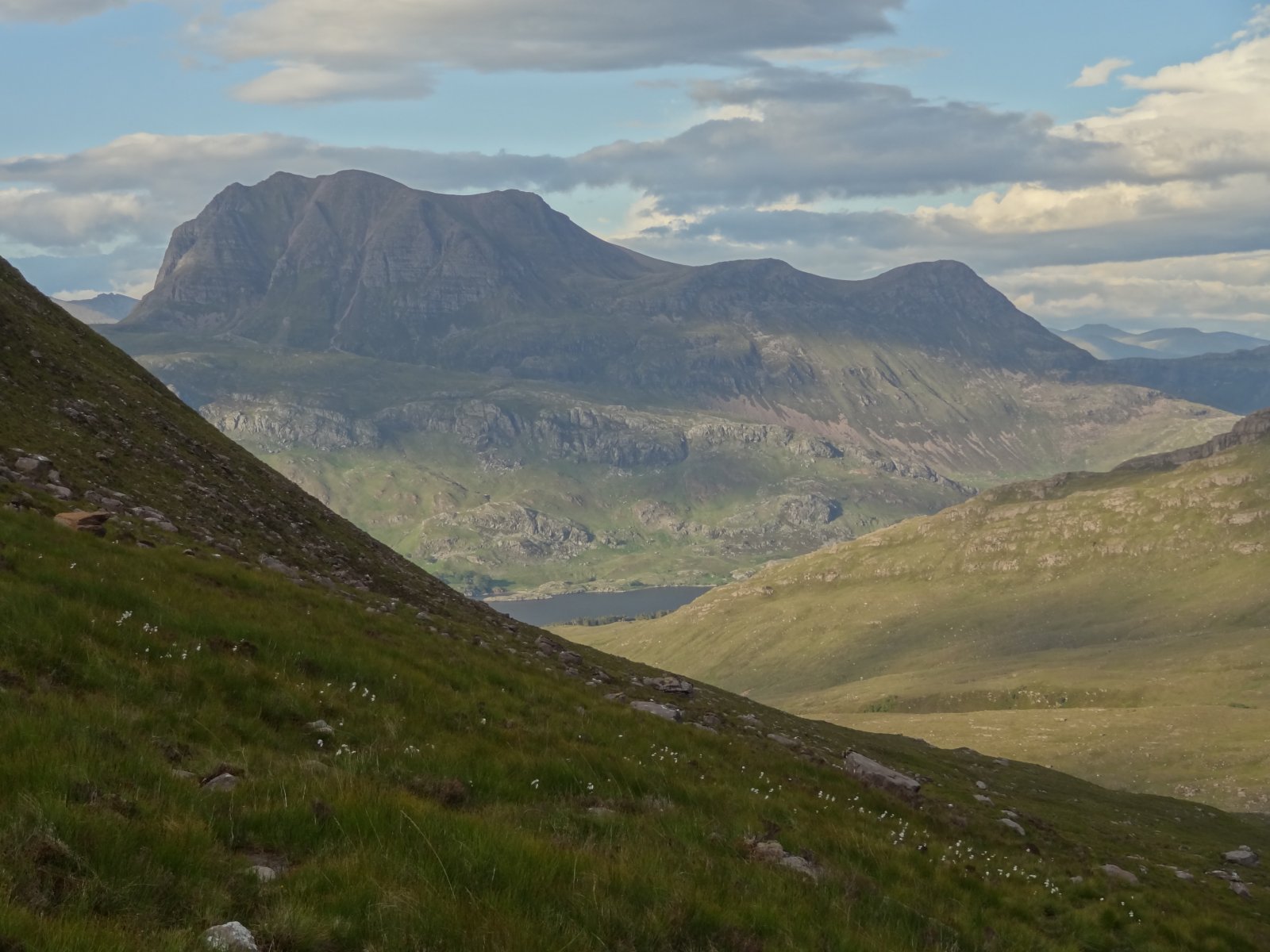
Upper Srath Lungard, further upstream of the Falls, looks even wilder when viewed from a similar position, backed by Beinn Dearg:
Reading about this unknown gem of course captured our imaginations. It's now about 16 years since we first read about the Falls. Since then, we've had many holidays in the northwest Highlands, and have read many books, etc. and talked to many people locally. It wasn't until we finally got around to staying at Talladale this summer (2011), that we found anyone who knew anything about the Falls, and saw them ourselves.
We stayed with Nick Hardy-Thompson at the log cabin by the Loch Maree hotel. Nick was a great host, and we felt extremely comfortable there. When we booked, Nick told us that the Grudie-Talladale hydro scheme had been revived, and looked like it was going to go through this time. Richard Gilbert's book, mentioned the then recent demise of a similar scheme there, citing a conservation campaign. Just before our visit, a quick websearch did find some information, e.g. the Mountaineering Council of Scotland's response to the latest plans. When we got there, however, it seemed that local people hadn't been consulted about the plans. Another quick websearch only revealed half a dozen images of the Falls. They did look promising: we seem to have had better weather on our visit, so we hope that posting some pictures might be worthwhile...
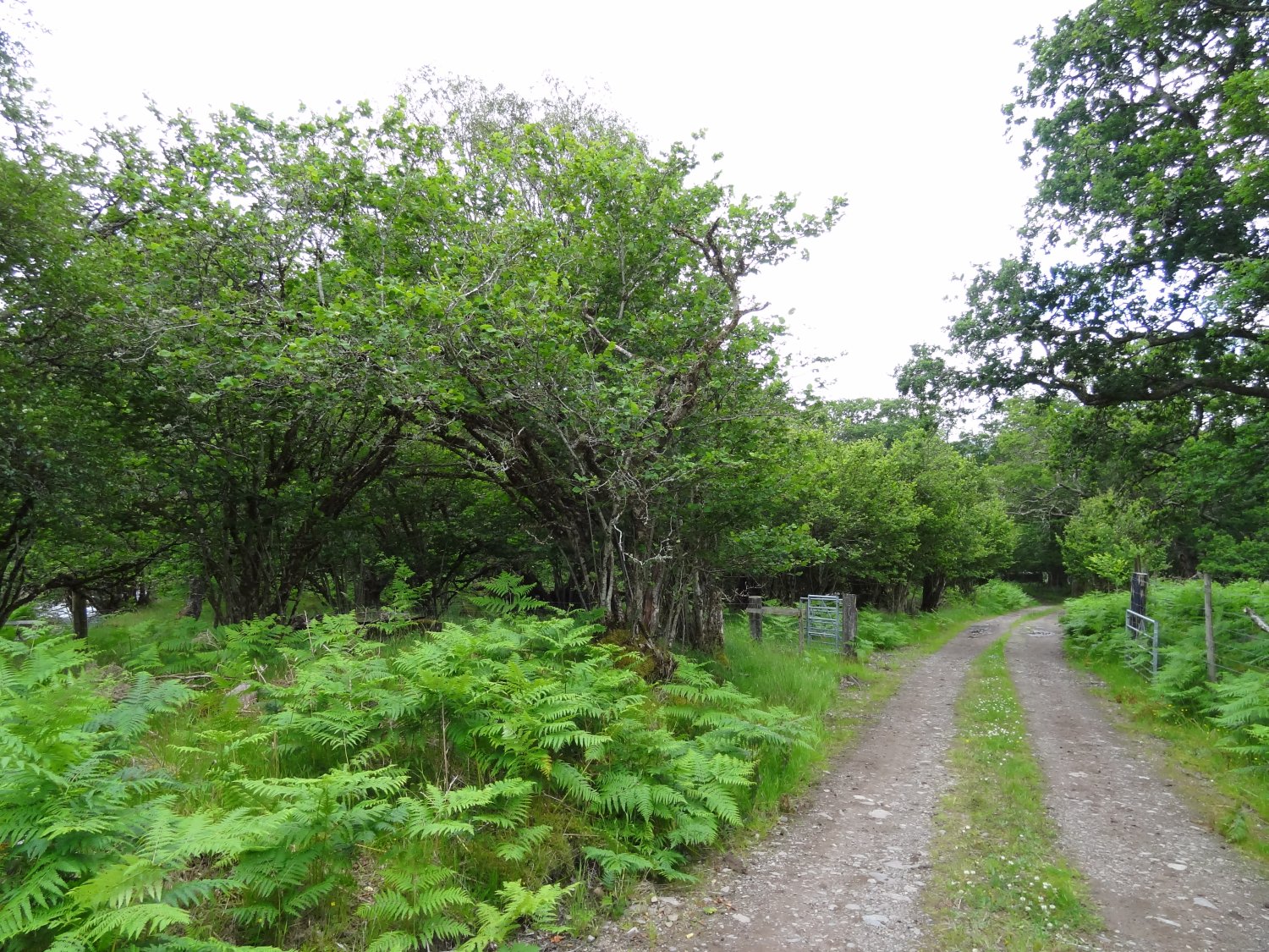
Richard Gilbert also comments that it's tough going to get there, without any vestige of a path. This is still true, although it's been a pretty dry year so we might have had an easier time of it than normal. We set off from the hotel, and up the short farm track that follows the east bank of the river Talladale. This track from the road follows the river, audible and glimpse-able through the trees, which include an old stand of coppiced hazel.
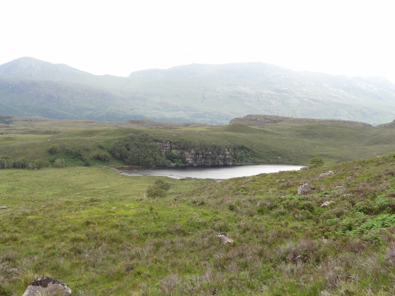
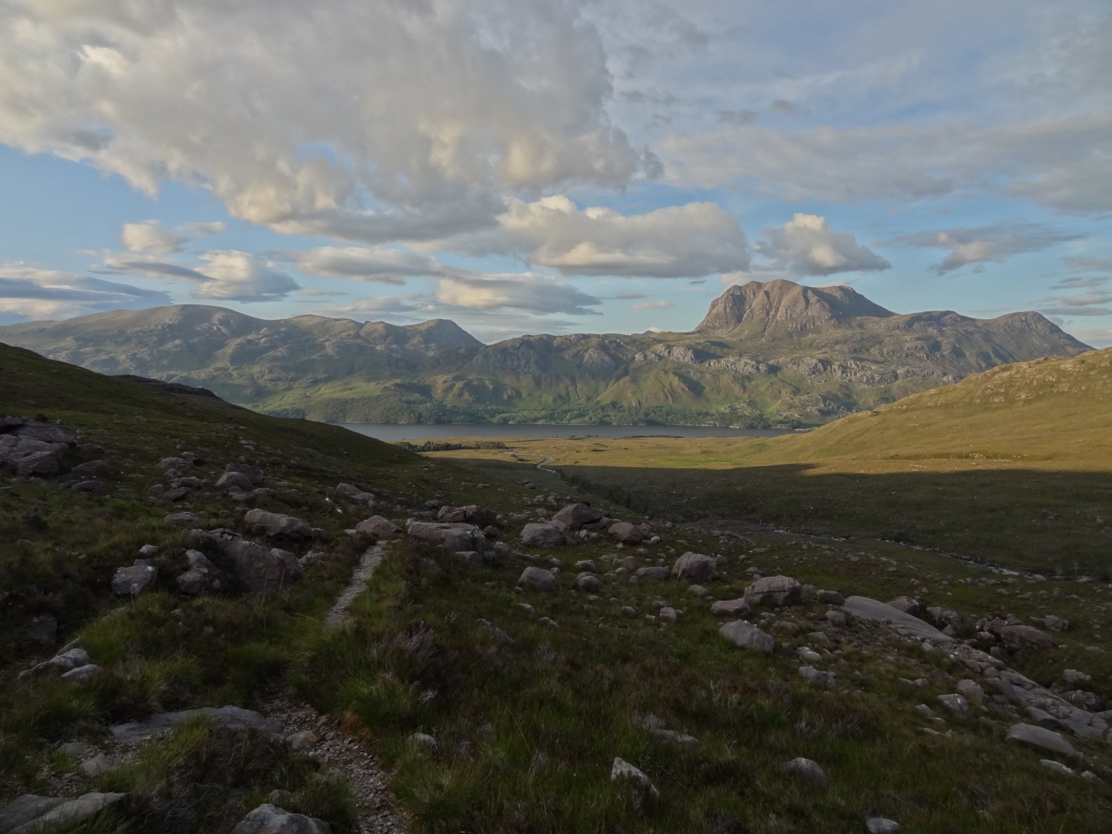
We were soon on the open hill, and moving a little away from the river as we headed upstream, to avoid the steeper, more switchback ground nearer the gorge, Now we were essentially doing Gilbert's walk in reverse, although, in a rather roundabout and snaily way, with lots of lingering. The views behind, across Loch Maree, soon open out. Loch na Fideil looks quite wild from above - one can well see why Brenda Macrow, in her book "Torridon Highlands" (Robert Hale Ltd., 1953), said it has the character of a hill loch even though it is so close to the road (and to sea level!):
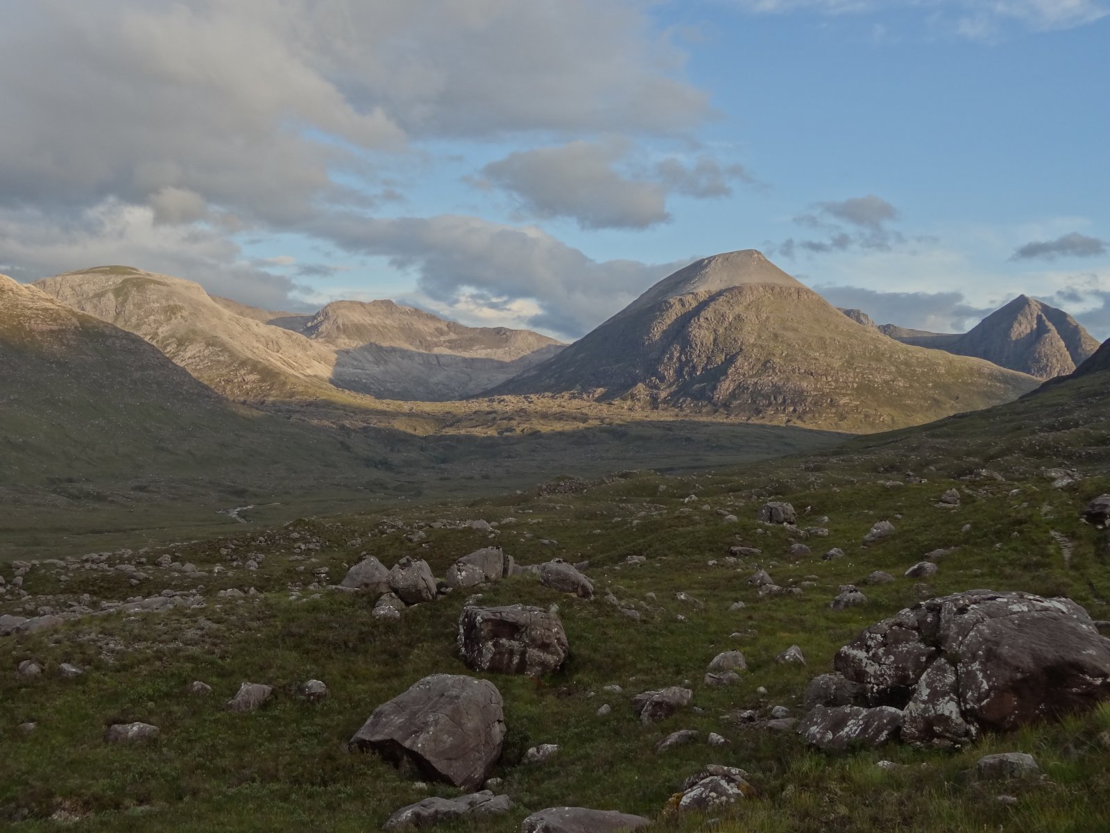
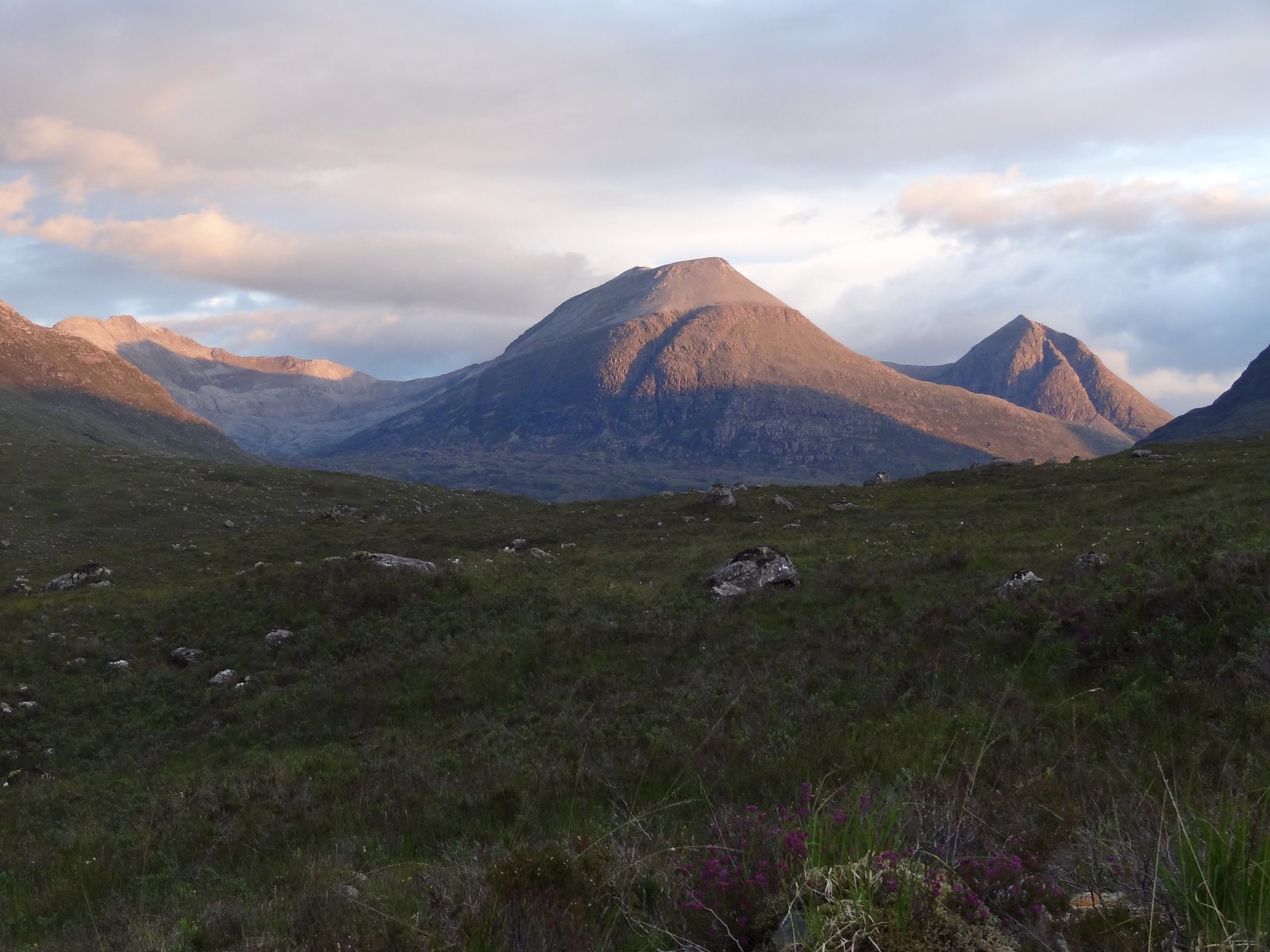
Once the land flattens out alongside the gorge, some of the Torridon and Flowerdale mountains started to emerge - this is Beinn an Eoin across the gorge:
Before the main Falls were visible, a smaller waterfall comes into view:
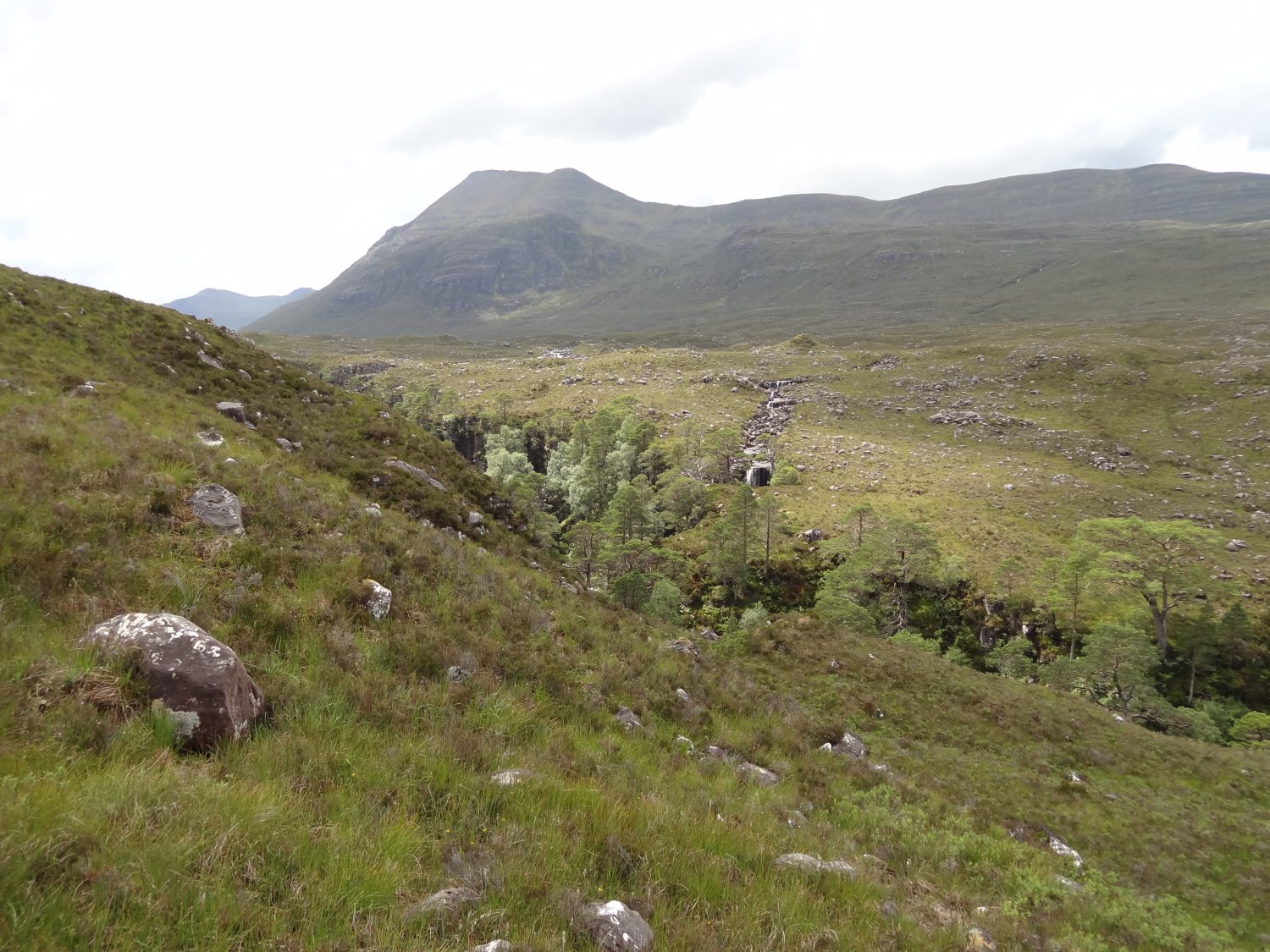
worth a closer inspection, for the colours showing the different types of wear on the rock:
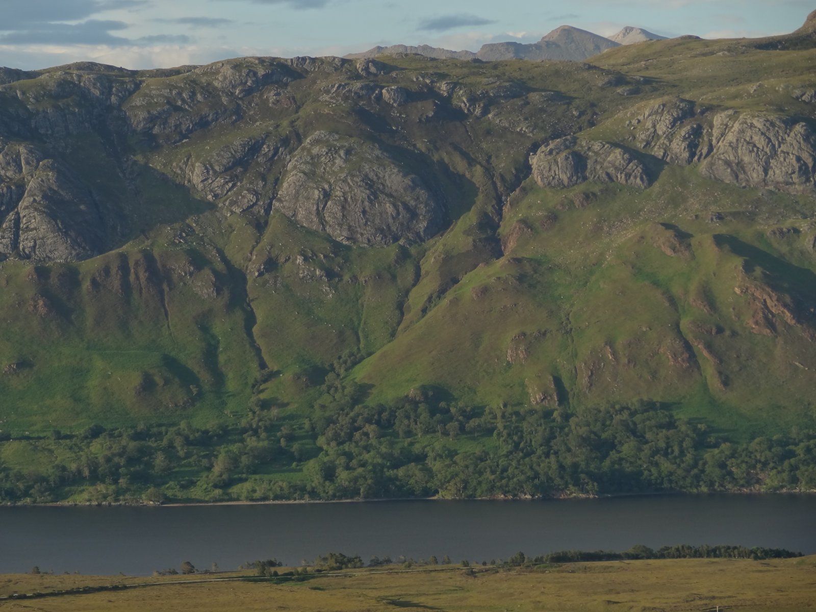
Looking back, the full length of the gorge impressed: Isle Maree just is just visible on the right of the Loch here:
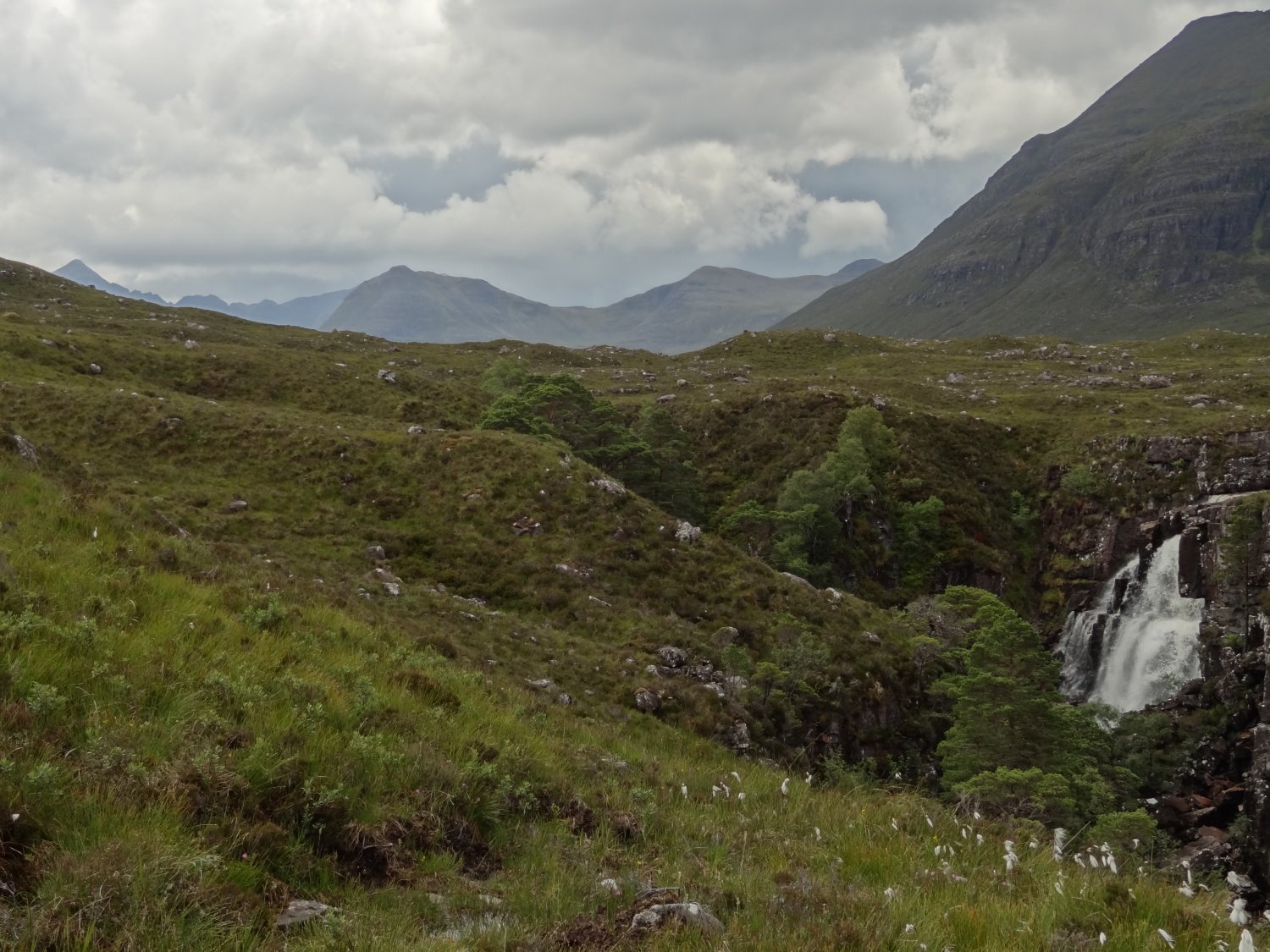
The first view of the main Falls is an oblique one, with the skyline ahead still demanding attention: nearby the west end of Beinn A'Chearcaill on the left and the south end of Beinn an Eoin are prominent, framing the more distant but exciting outlines of Liathach (left), and Beinn Dearg (centre) The overhang of rock on the north border of the Falls might catch your eye as much as the Falls at this point.
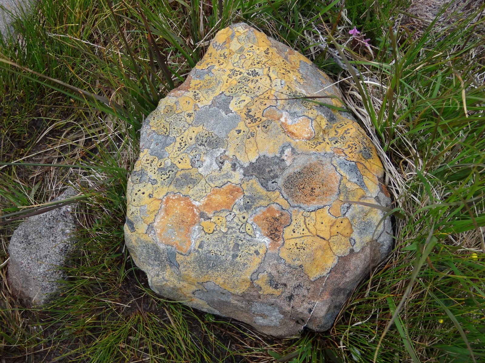
We saw some interesting lichens along the way:
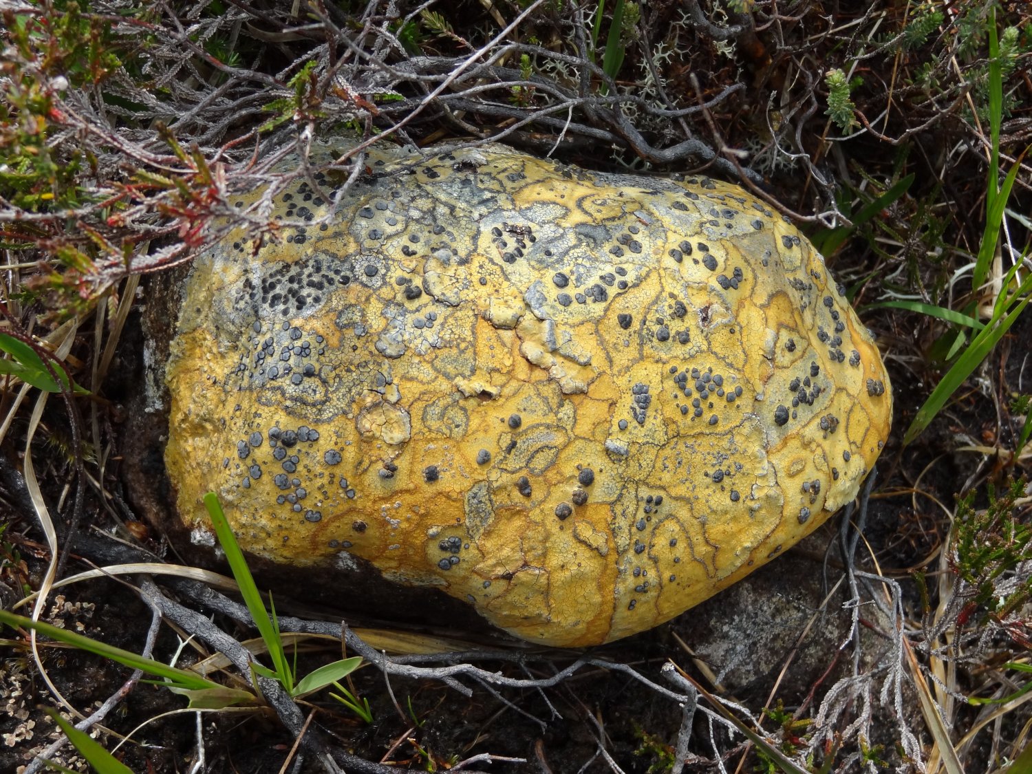
including these unusual growth rings:
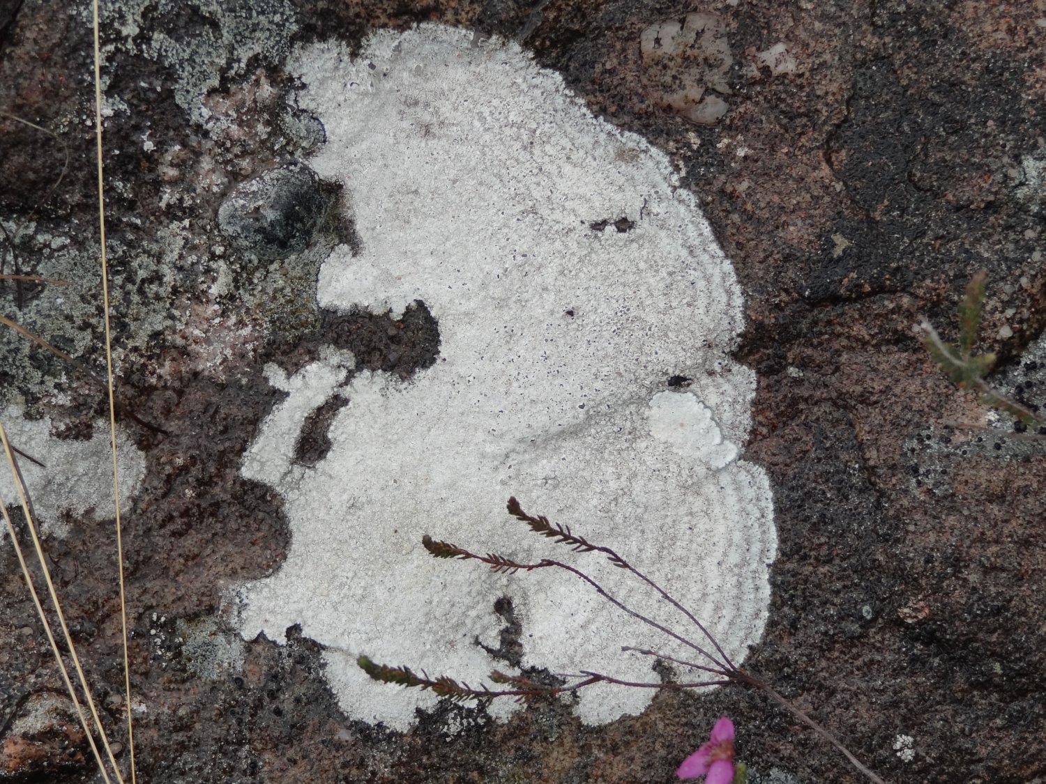
..all on classic-coloured Torridonian sandstone, which dominates this walk.
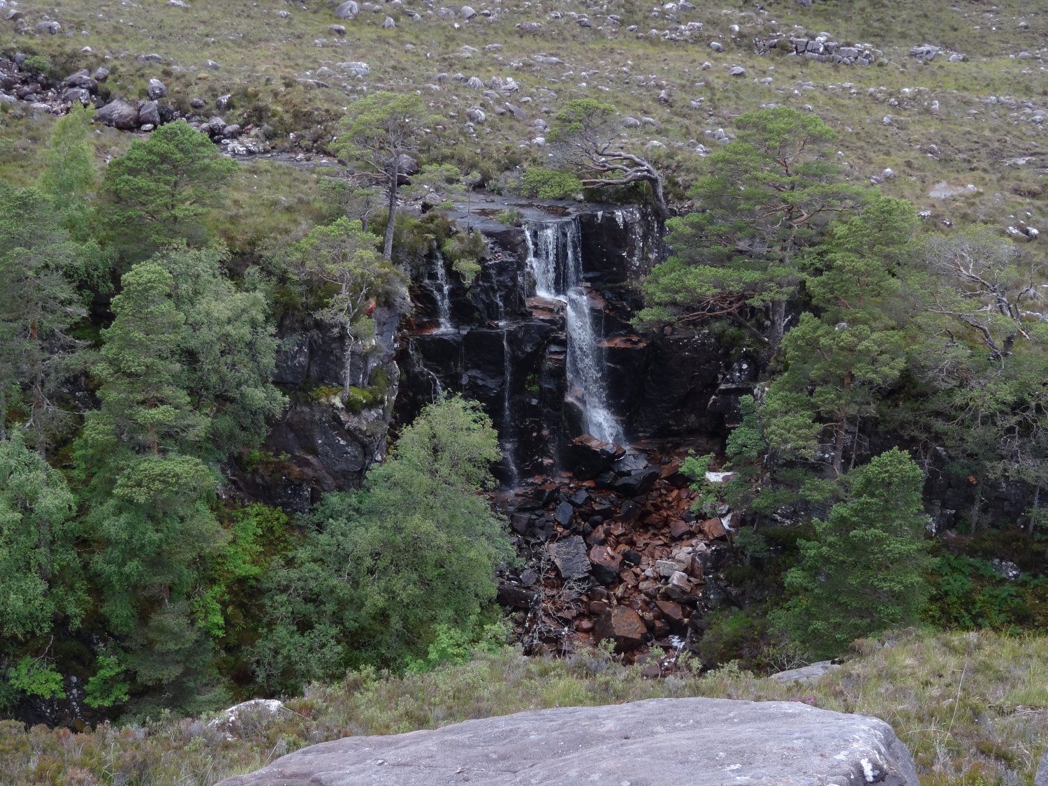
Looking down on the gorge by the Falls, we saw a lot of birds: a pair of siskins and a pair of bullfinches flew downstream below us - interesting to get a bird's-eye view of them! Here are some closer views of the Falls:
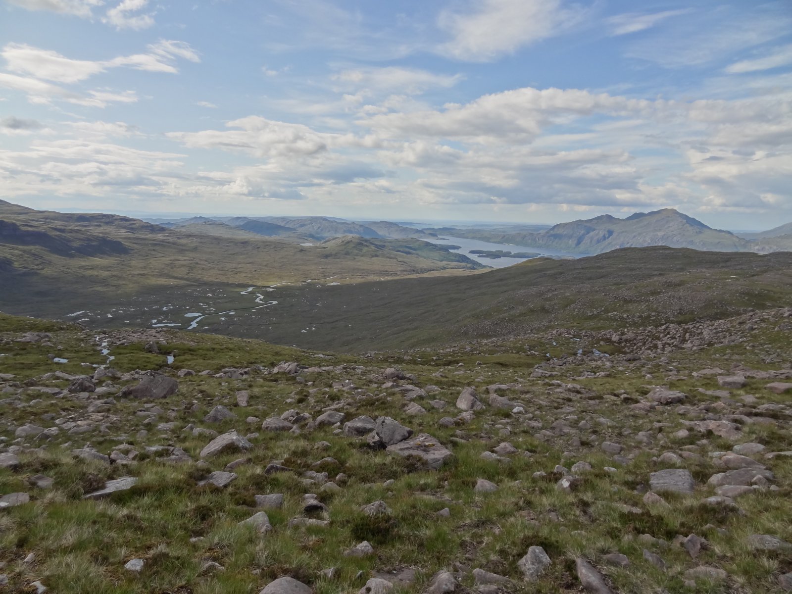
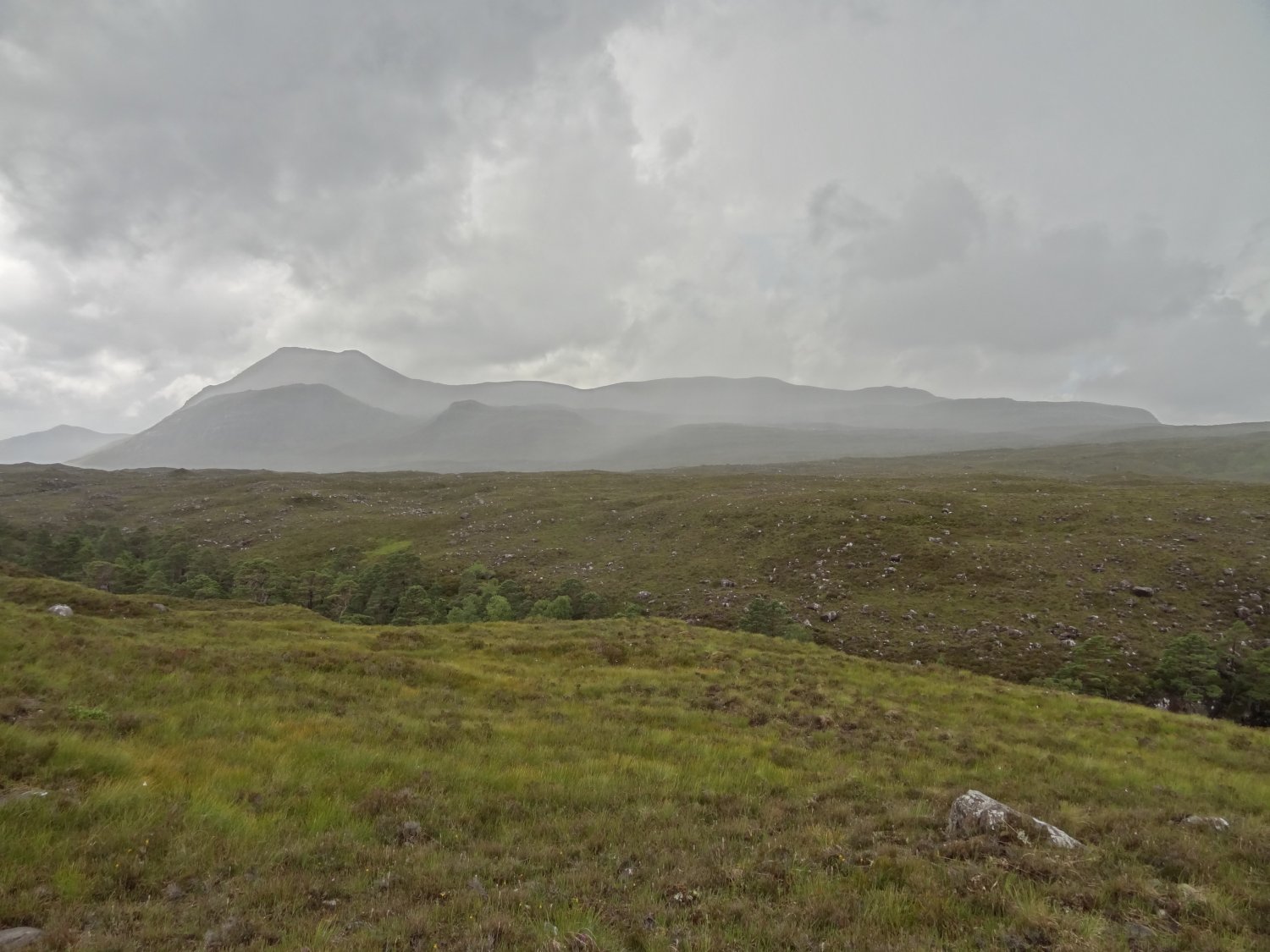
It was into the afternoon before we left the Falls, still not sure how far we'd get but we and the weather were starting to warm up, so we continued up the west flank of Beinn A'Chearcaill in hope. The wilderness of Srath Lungard gave an impressive sense of space.
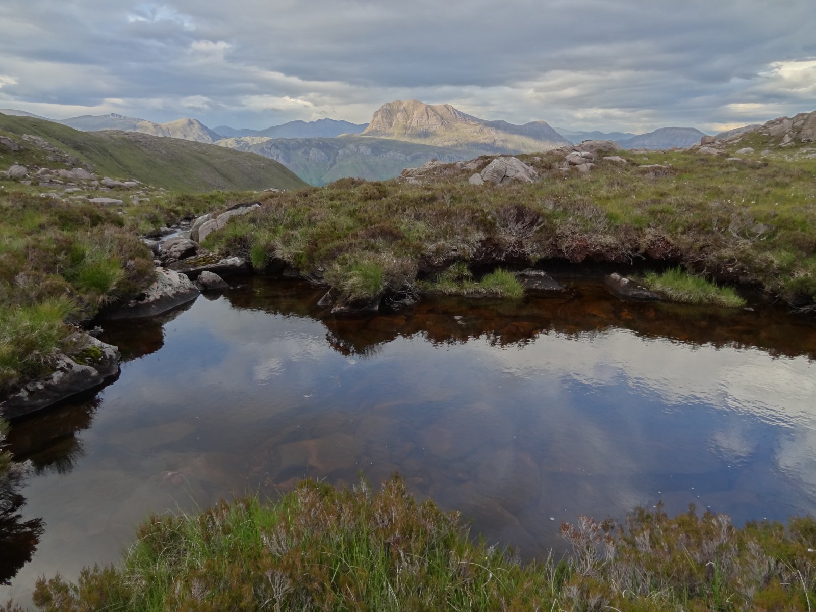
The most praised feature of Beinn A'Chearcaill is the view of Liathach from the Beinn's summit. Joe Cornish's book has a splendid example. ("Scotland's Mountains" - Aurum Press, 2009. The picture is on page 114). This was about the only view we didn't get on the mountain, but we rather liked a similar perspective on Liathach, framed instead by Beinn A'Chearcaill (left) and Beinn Dearg - forming a graceful bowl as a contrast to the angular outline of Liathach, showing here only a hint of its awesome precipitousness:
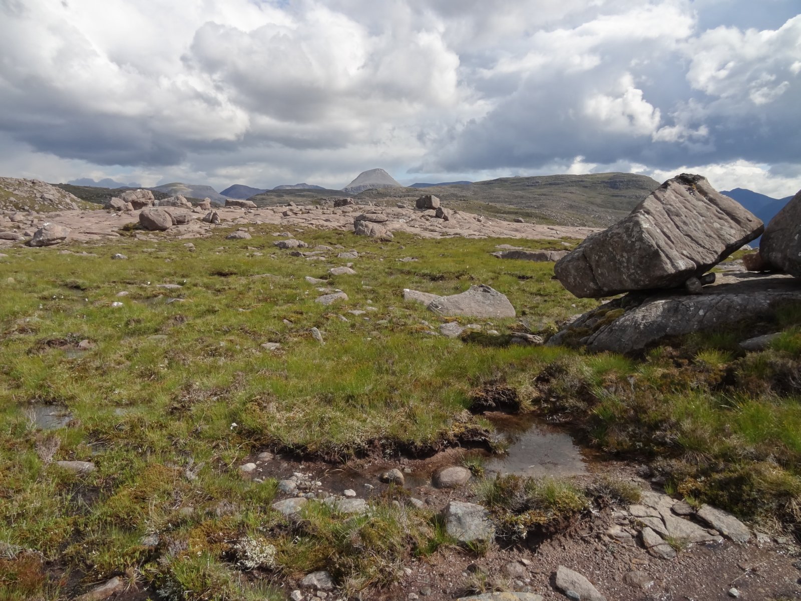
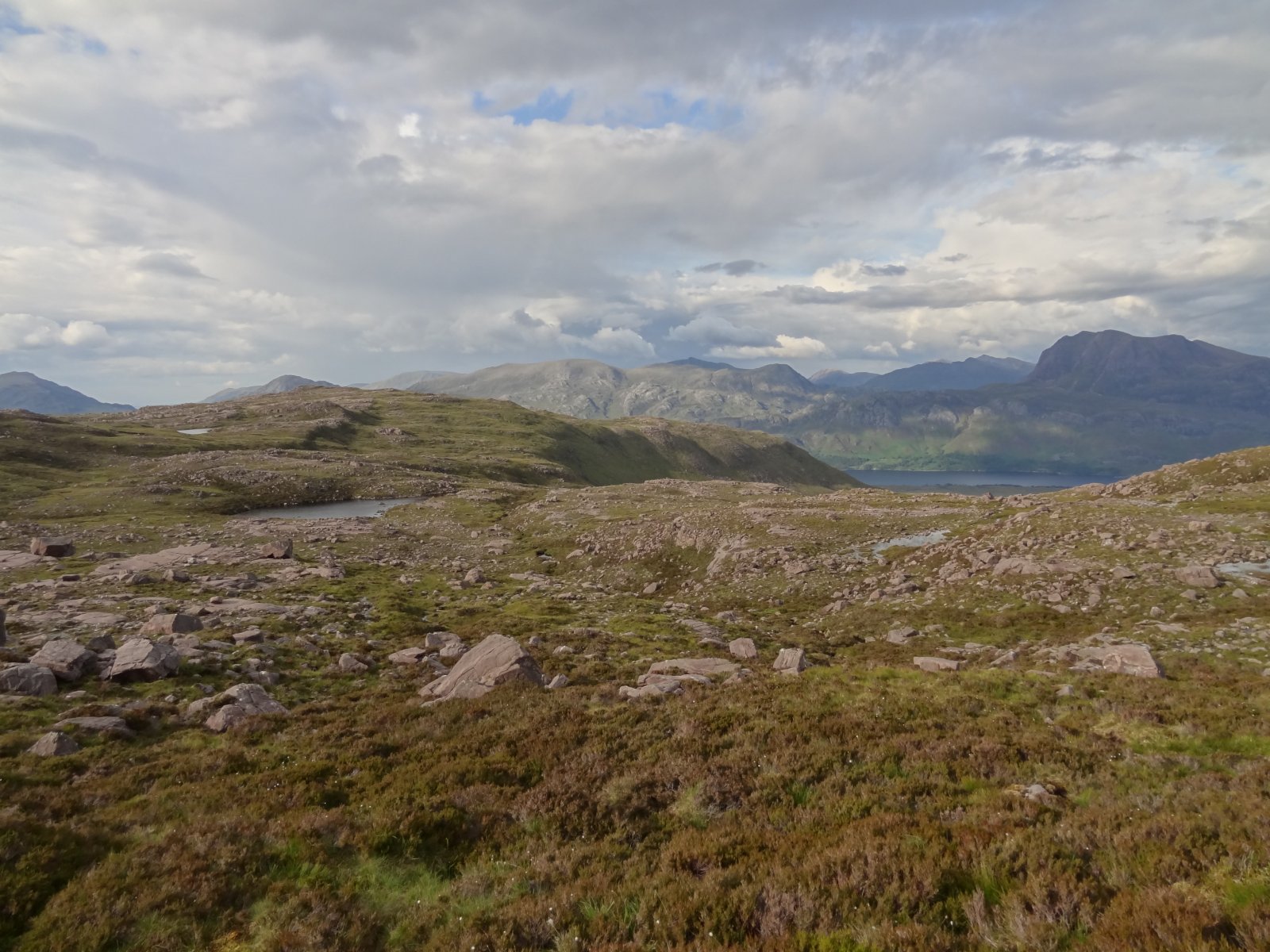
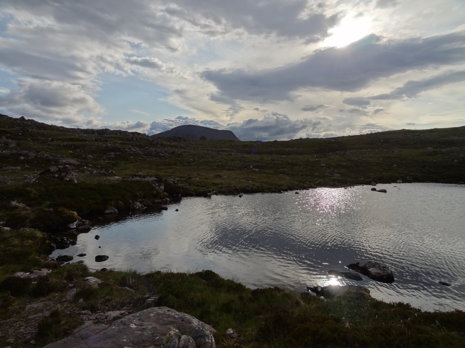
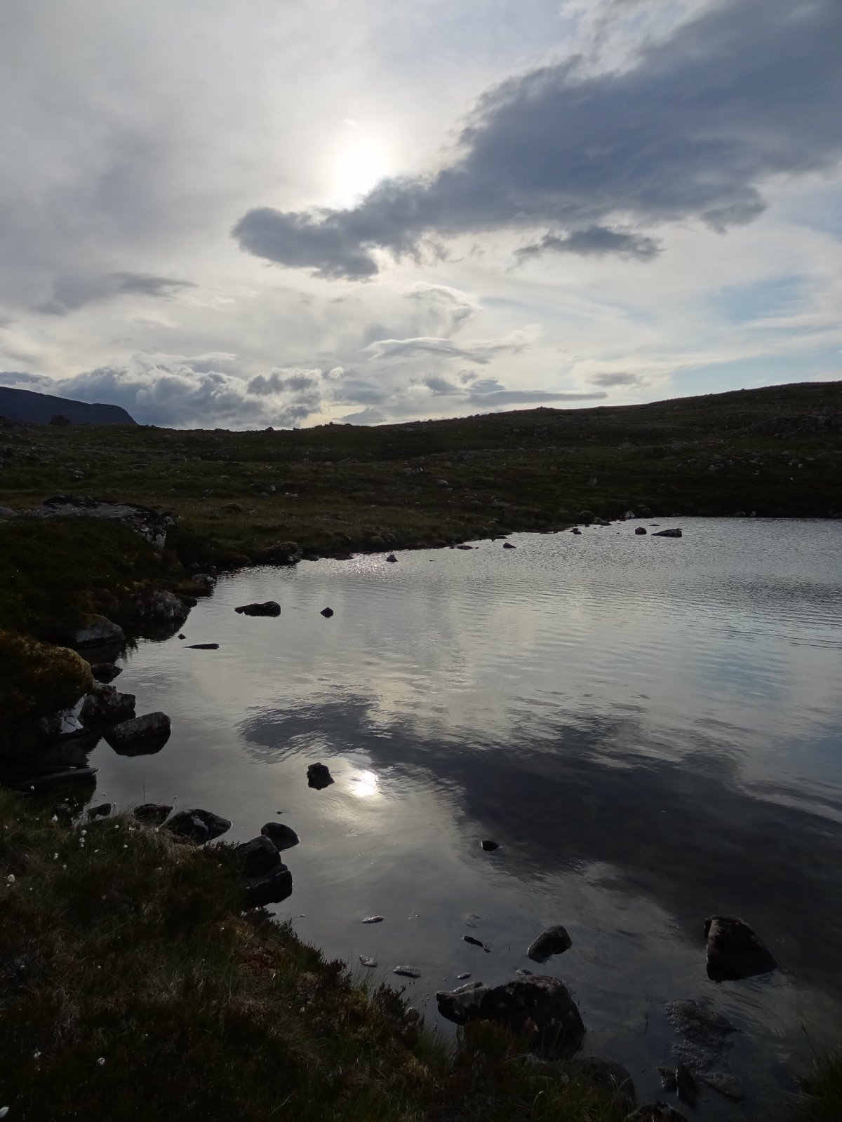
We arrived on the shoulder south of A Choineach Beag. This is a large, complex area, with much exposed, horizontal sandstone, glacially scoured, with other glacial debris. There are many delightful lochans between here and the summit plateau, e.g. this one on the west side:
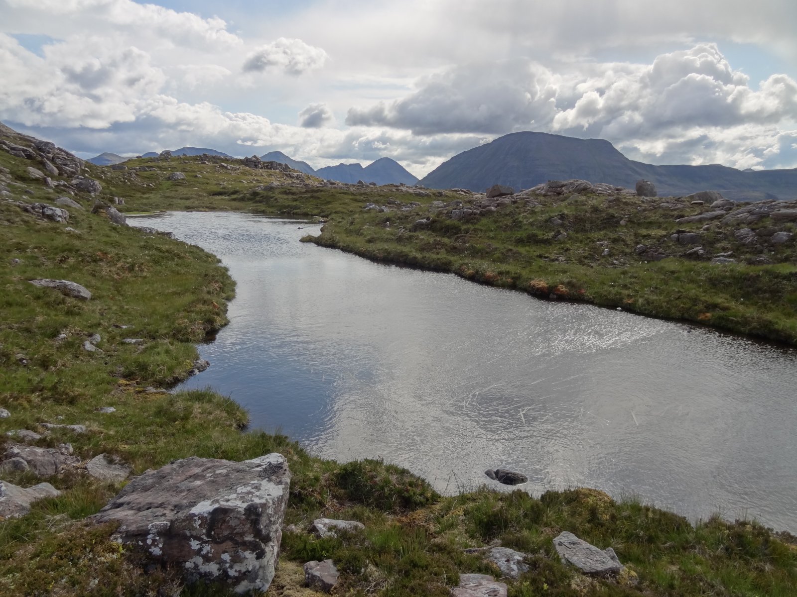
boulders and slabs, sometimes in their own world:
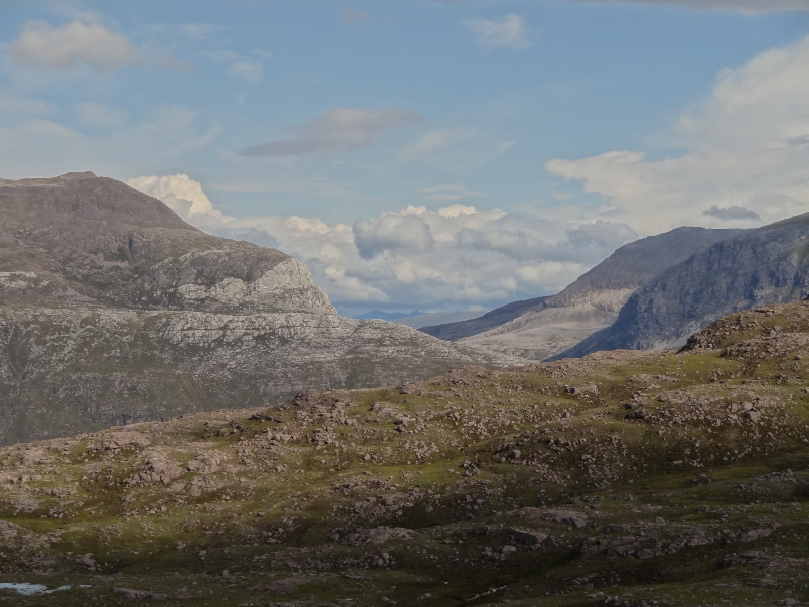
and looking east to Meall a Ghiuthais, showing its remarkable unconformities:
We got as far as the summit plateau, reaching it at the little raise at the west end (marked 663 metres on current maps - NG931645). It had taken us a long time, free-ranging for a good few miles, and we wanted to give ourselves plenty of time to free-range down the other side and get back to the road at Grudie Bridge before it got dark, and still have time to enjoy it. So we went east a little and along the escarpment, but decided not to go to the actual summit. Instead we paused for a while to enjoy the panorama to the north.
Here are some views from the broad shoulder and plateau of Beinn A'Cheircaill. Loch Maree and Loch Ewe:
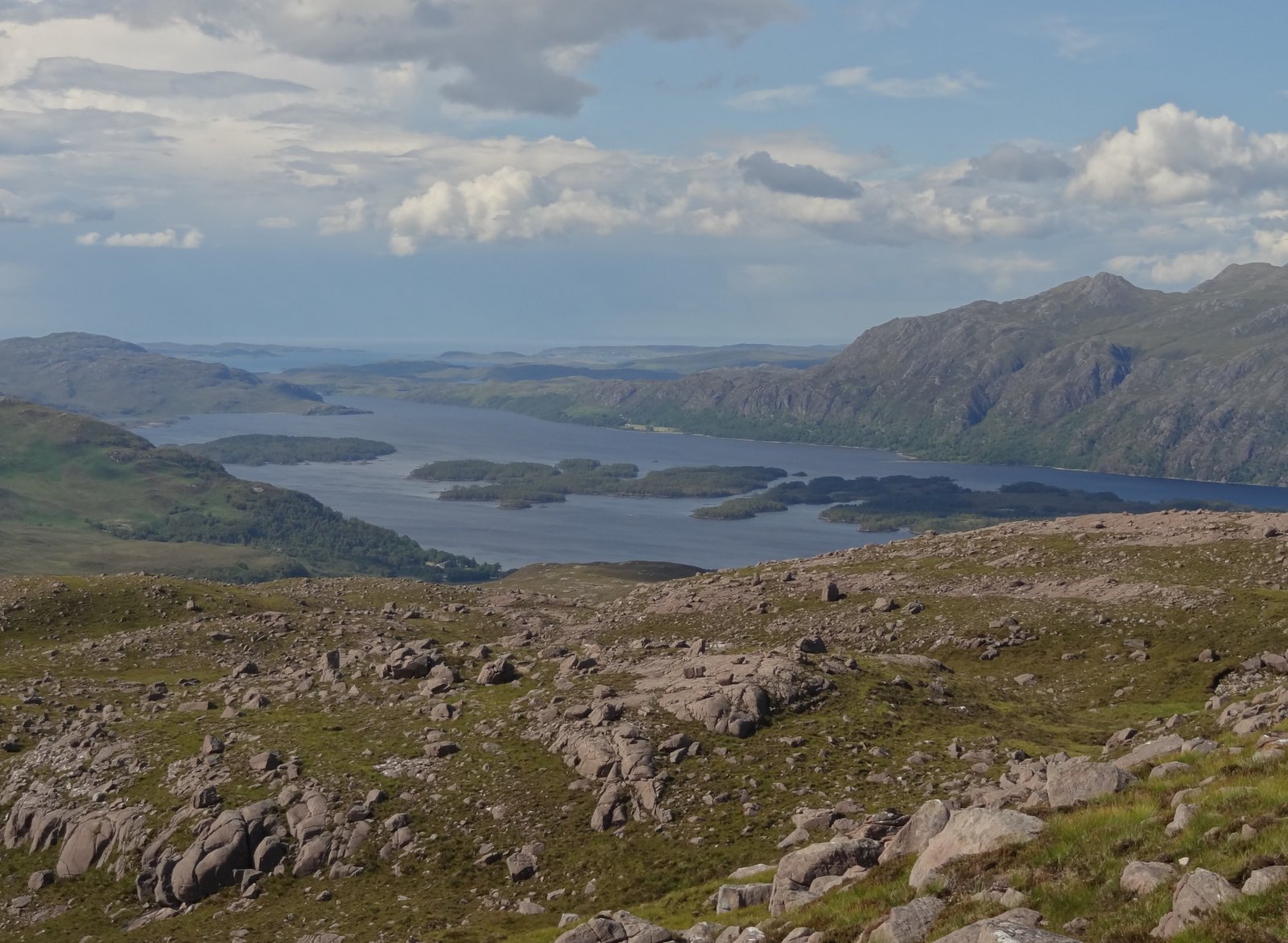
Across to the Isles:
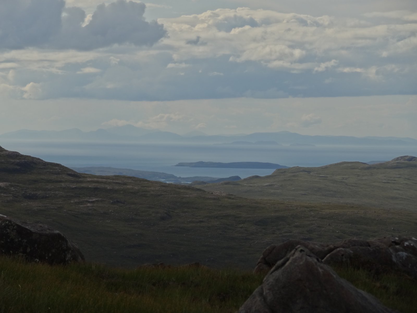
The Letterewe wilderness:
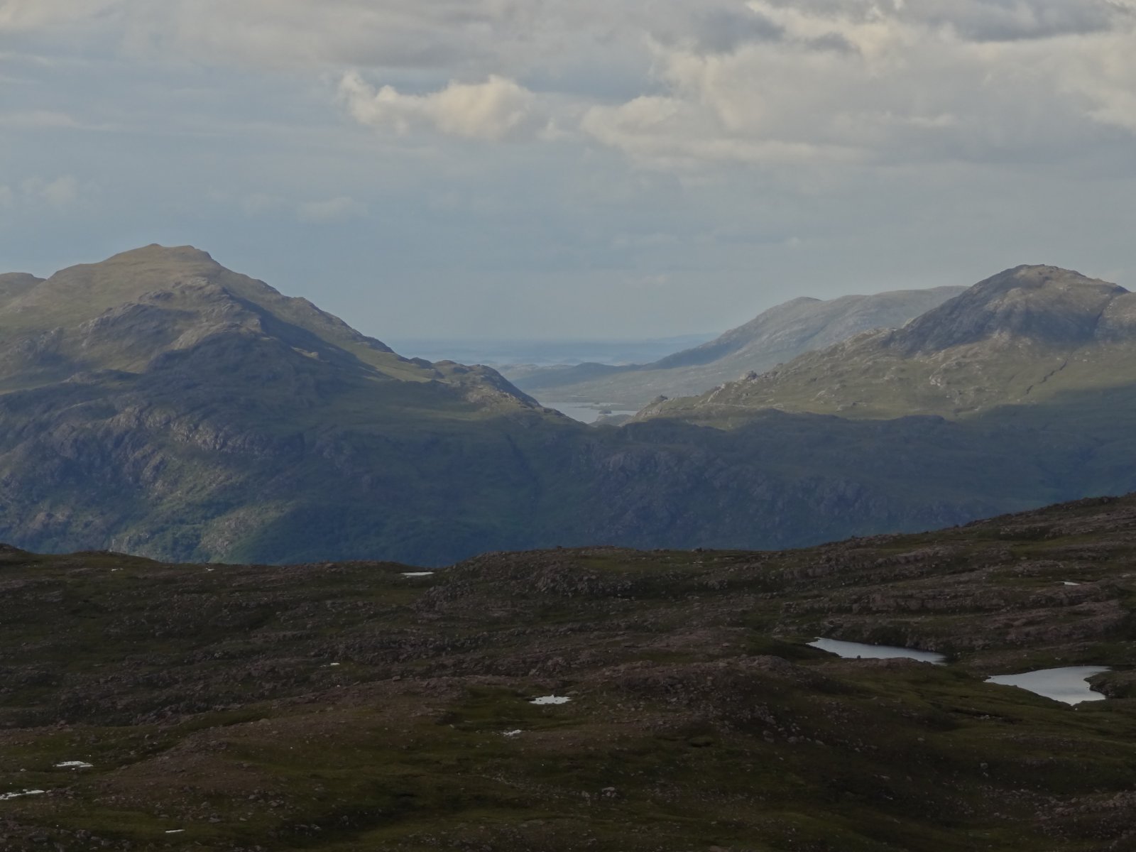
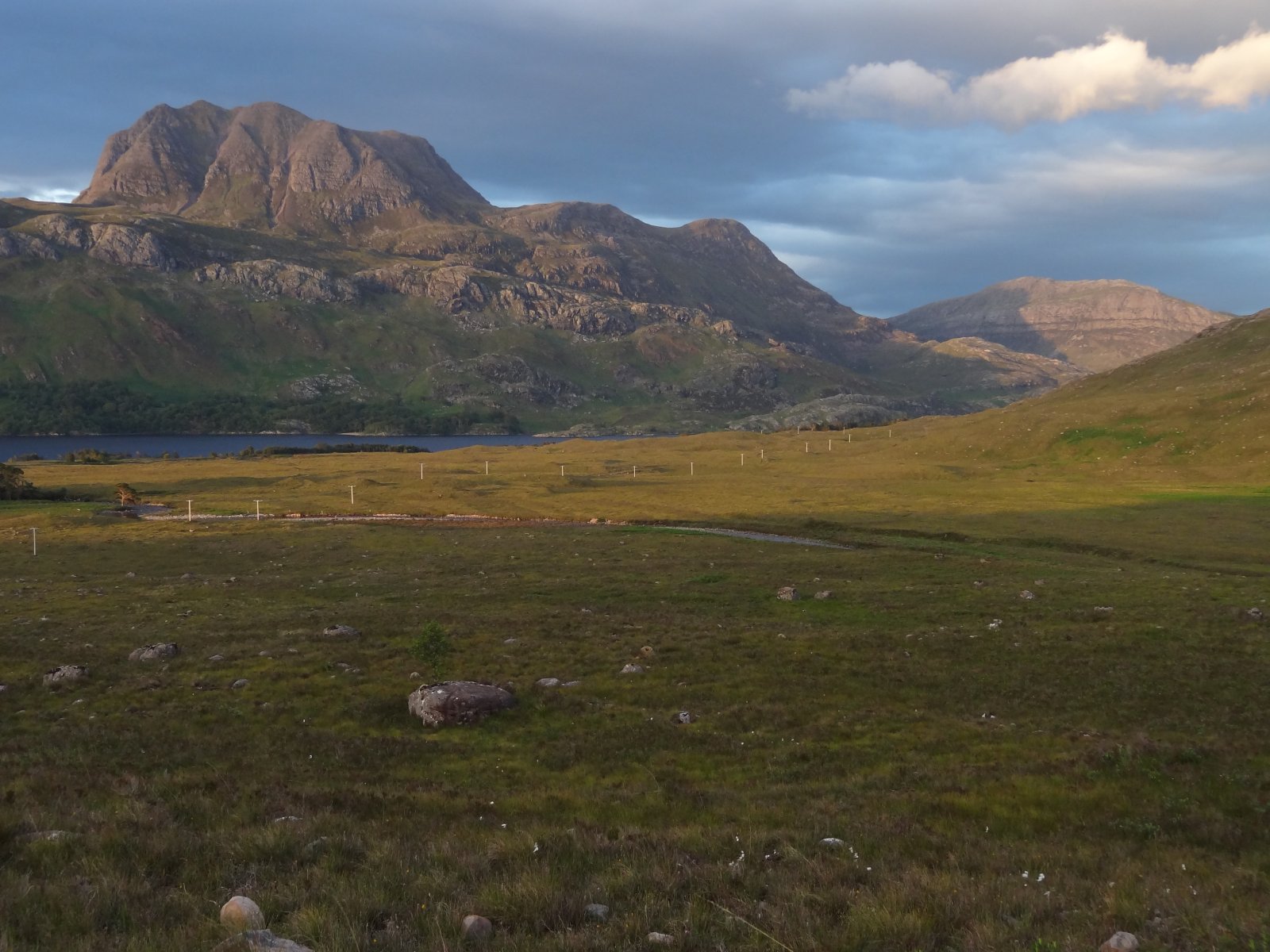
Along the shoulder to A Choineach Beag, and Slioch (right):
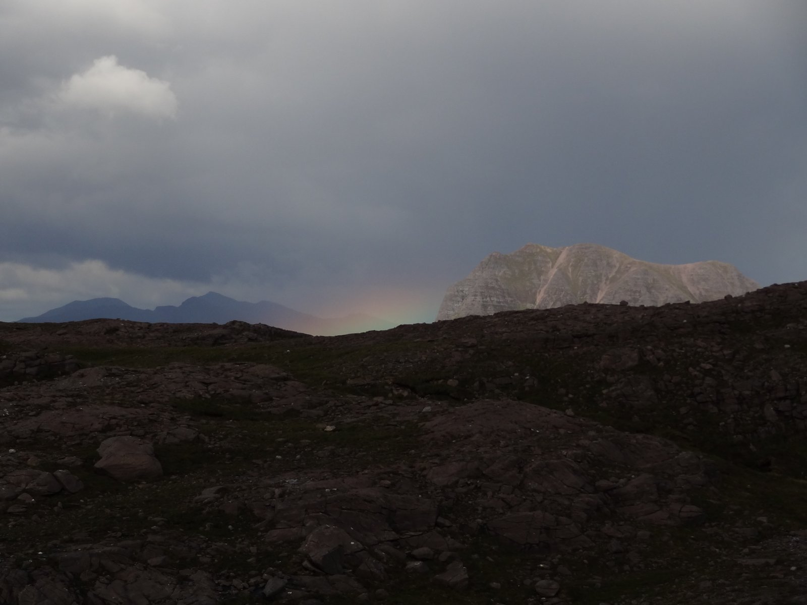
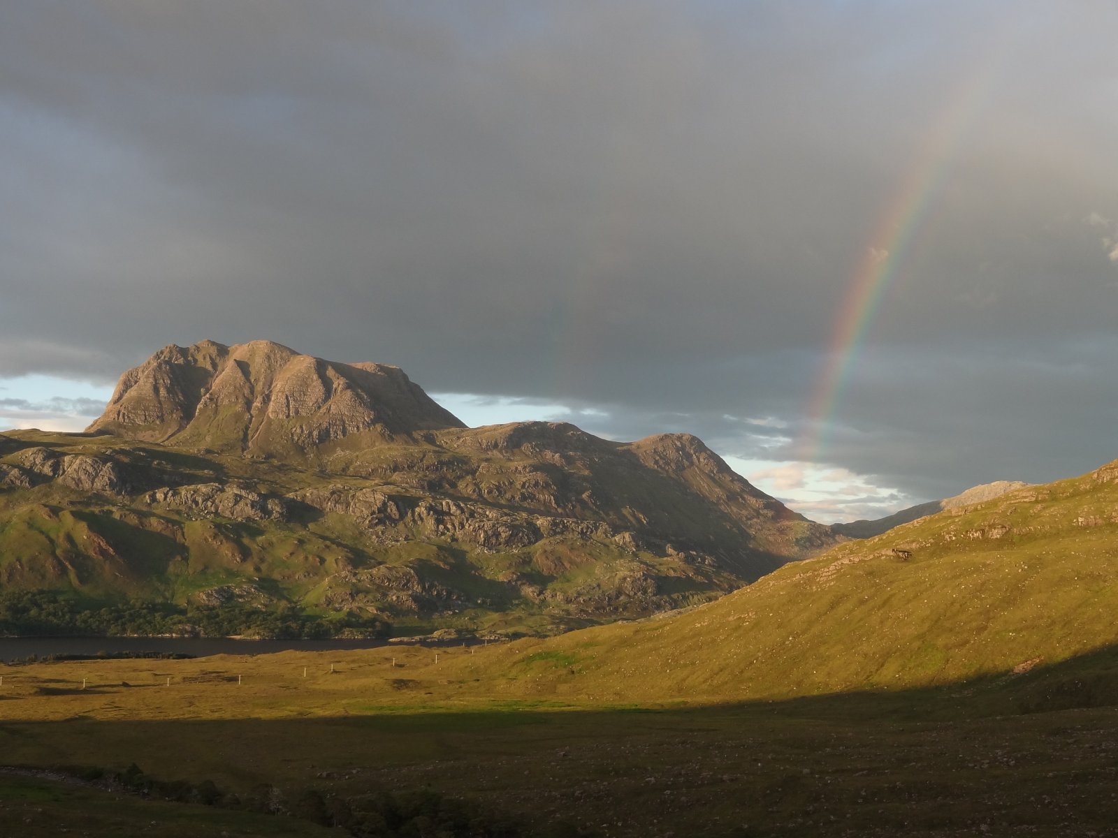
Sun, cloud, brightness and ominous shadow, rainbows - they kept coming... This is one of two separate rainbows by Slioch:
We headed down towards the lochan at NG937653:
Near the stream at the top of the Coire Briste we found a path. This was a bonus as it wasn't on any map we've seen, nor had we read of it. It looked like a little-used stalkers' path: obviously well engineered once, somewhat faint and boggy in places now, but still a very useful guide back to the Glen Grudie path. This pool on Allt a Choire Bhriste was just before the Coire lip:
Lower Glen Grudie soon appears beyond the width of Coire Briste:
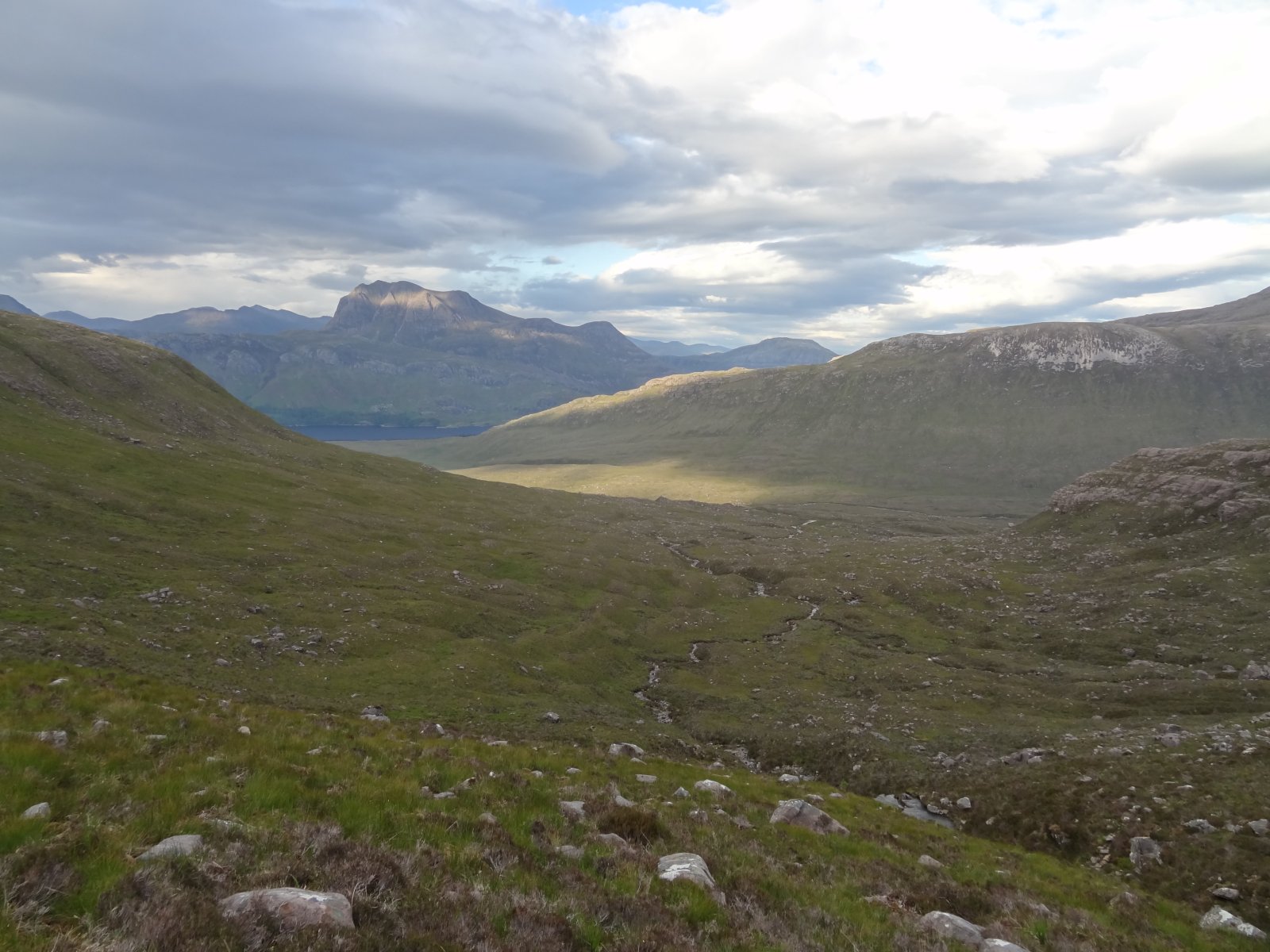
Coire Briste has some good moraine at the bottom, and fine views up the Glen, particularly of Beinn Eighe (with its own spectacular moraines):
And of course to Slioch:
The views of Slioch became ever more compelling as we descended:
The light became softer, though further up Glen Grudie still looked pretty wild - the path is a long way from the river here. But Beinn Eighe's final view of the day got a little colour.
The banding on Beinn A'Mhuinidh, to the right of Slioch, was very clear.
Then, remarkably, a third (and fourth) rainbow by Slioch.
The Glen Grudie path is excellent from the bottom of Coire Briste to the Loch Maree road, so getting off Beinn A'Cheircaill was a lot easier than we expected. The sun set as we plodded along the road, arriving back at the log cabin at about 11.30, some 14 hours after we left, and in fair darkness. A fabulous day out. It was thought-provoking in many ways - the hiddenness of the Talladale Falls, and the possible imminent changes to it; our fragility in the wild, and the fragility of the wilds themselves to mankind's degradation of all sorts. But above all the views and the light, and the beauty of it all.
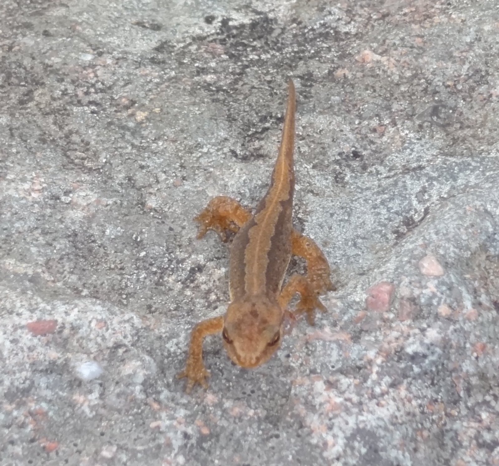
Here is some wildlife from the walk - newt:
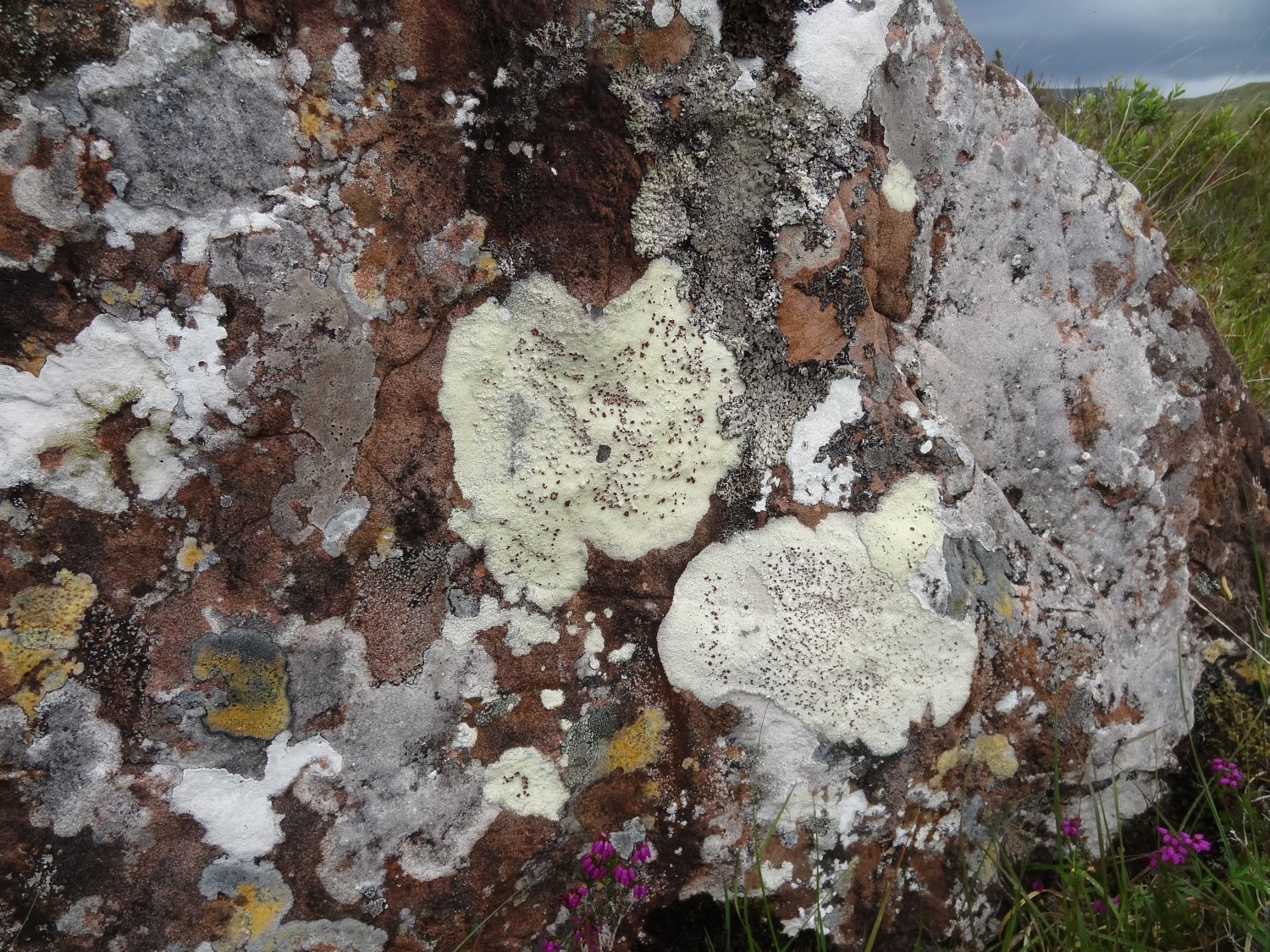
More lichen:
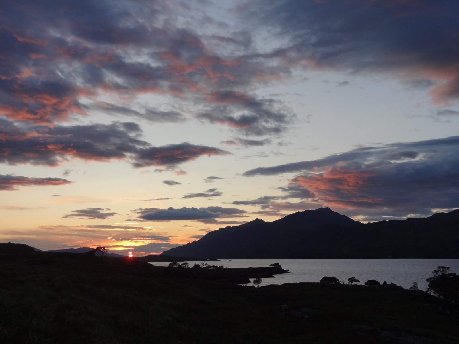
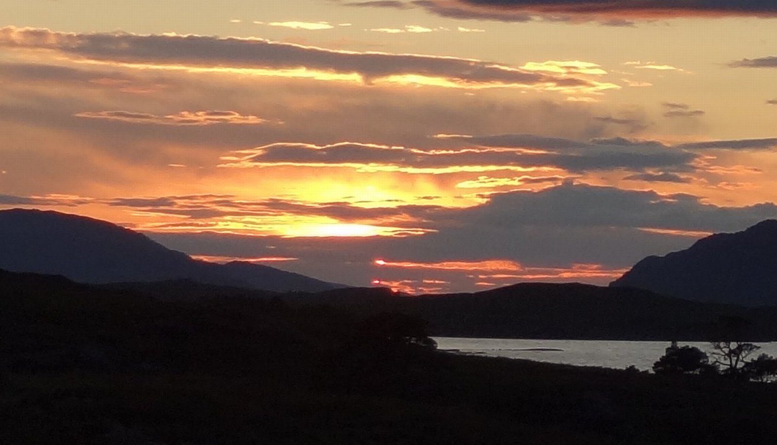
And the sun setting over Loch Maree:
Postscript:
The Talladale Falls might soon become much more accessible, via construction tracks for the Talladale-Grudie hydro-electric scheme. The same tracks would probably considerably alter the character and appearance of the area round the Falls, and possibly of the Falls themselves.
It seems that the Falls have always been shy: while staying at Talladale, we cycled to Gairloch and visited the excellent museum there, where we bought the new reprint of J.H.Dixon's classic account of the Gairloch parish, published in 1886 - probably the most detailed book available. On a quick scan of the relevant parts of the book, it appears that he doesn't mention the Falls either. If the hydro scheme goes ahead, the Falls' history as a secret part of the Wester Ross wilderness would thus come to an inconspicuous end.
This may not be the place to debate the rights and wrongs of it. There's generally greater emphasis on sustainability now than there was in the 1980s, when the original scheme was rejected. This is undoubtedly a good thing, and we have been trying to put our money where our mouth is over this: walking/cycling to work every day, saving water, using public transport rather than driving, etc. etc., for the last 20 years. Does the supreme importance of sustainability mean that any piece of land can be used for (comparatively) clean energy generation, regardless of the costs to wildlife, scenery, etc.? Will in fact this development make a fine and virtually unknown feature of the Wester Ross landscape more accessible, to the possible benefit of many, or will it ruin it? What value wilderness?
(Text and photos by Daniel and Clare Gordon. September 2011).
There's a more detailed version of this walk report at these links:
http://cdgordon.org.uk/photos/Wester_Ross/2011_07_Torridon_Talladale/Talladale_falls/index.htmlhttp://cdgordon.org.uk/photos/Wester_Ross/2011_07_Torridon_Talladale/Talladale_Grudie/index.html