
Ben Wyvis (via Tom a Choinnich) [rain/wind/cloud....]
Date - Date: Sat 15/08/2009
Hills - Ben Wyvis
Route - One way route - ascending An Cabar and descending down Tom a Choinnich.
Weather - Poor/Horrible (varying rain all day, WIND, surrounded by cloud most of day)
Attendees - Me & Colin
Time - 7 hrs 30 mins
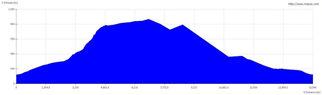
Distance - 15.5 km
Ascent - 1020 m
Max Altitude -1046 m
Route - ascending An Cabar and descending down Tom a Choinnich.
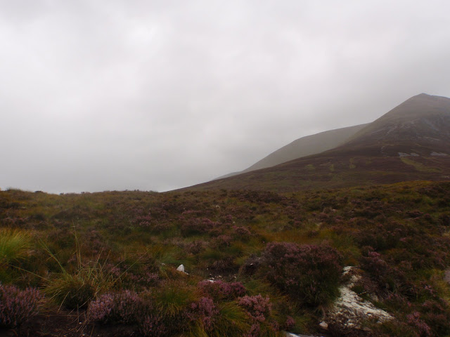
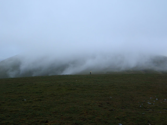
Would it clear?
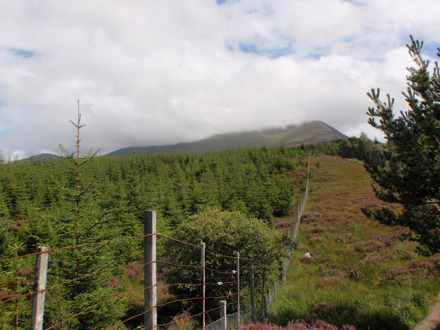
Maybe...
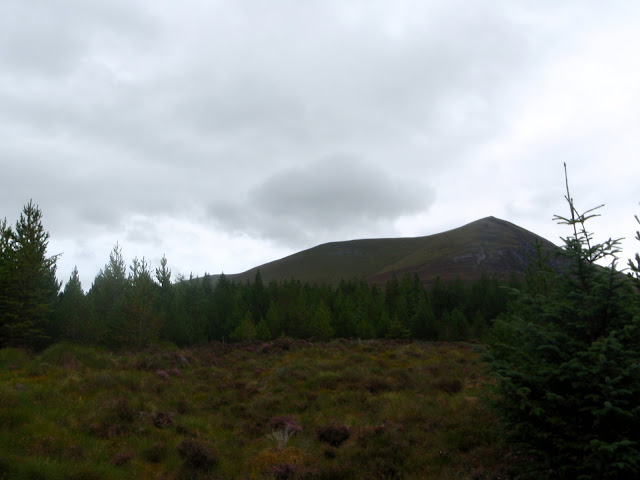
Maybe not....
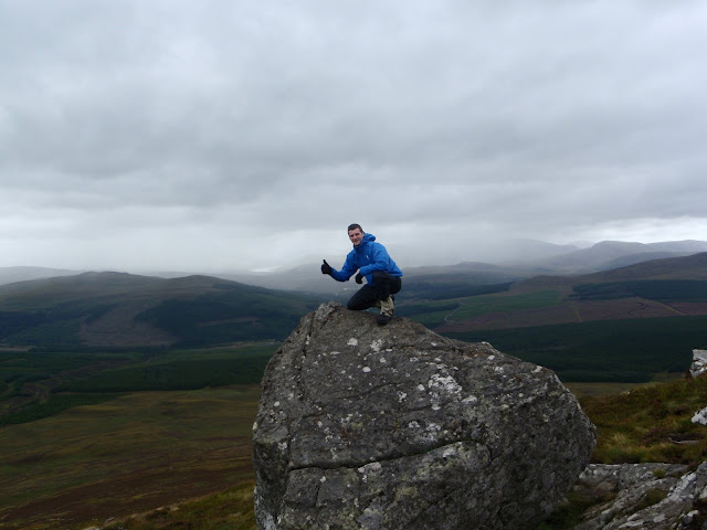
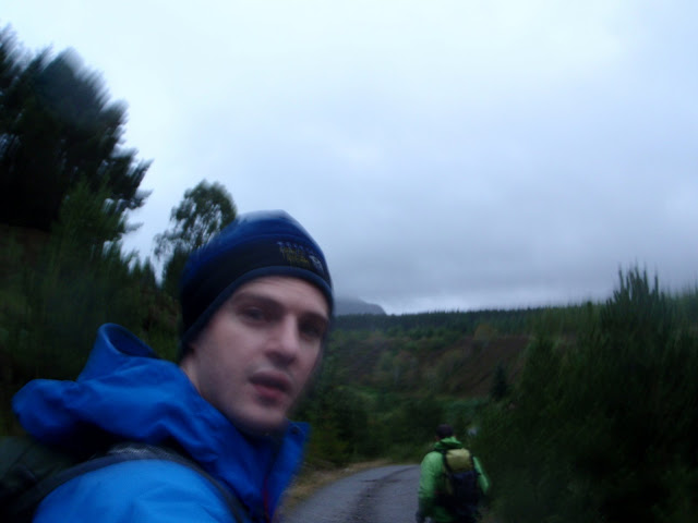
Me, spoiling the best view we would get all day!
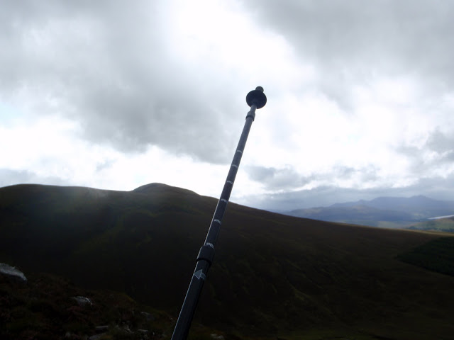
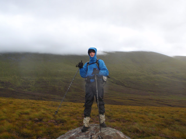
We both agreed our newly purchased walking poles made a great difference (especially descent and through the bog later on!). As shown here they are also useful for pointing at rare gaps in the cloud.
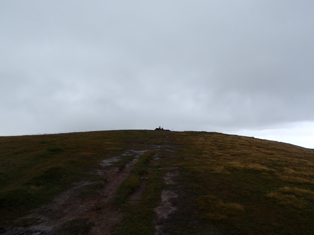
Things cleared a little as we approached the summit (Glas Leathad Mor), but it was still raining and extremely windy! - little did we know the worst was yet to come.
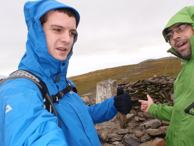
Great we made it, now lets get out of this rain and wind
so the 2 man shelter get's it's first outing. I can't praise this thing enough, what a joy to get comfortable and have lunch on a wild wet and windy summit. How we laughed looking out the window of our newfound warm cosy house as the summit cairn took a battering...

Lunch over, shelter packed away, and we leave Glas Leathad Mor and head towards Tom a Choinnich. We checked the map, took a bearing and headed off...well Colin headed off ahead as I thought now's maybe a good time to also switch on GPS just in case we lose ourselves completely. We had agreed before proceeding to do a 100m or so at a time, always ensuring we were en route. Novices that we are, I was impressed with our so far self taught skills, at no point were we far from a retreat to a known location (there's a lot of poles/trig points/cairns betweens these 2 tops) and we made ourselves aware of what we were likely to find if we strayed too far the wrong way.
Visibility worsened from here on, and the wind was so hard it made the rain proper face stinging stuff, you just couldn't face into it. Suddenly the huge expense of all this rain gear all made perfect sense (maybe one more trip like this and I'll even be convinced I wasn't robbed £17 for a waterproof map cover!....but it to was still invaluable).
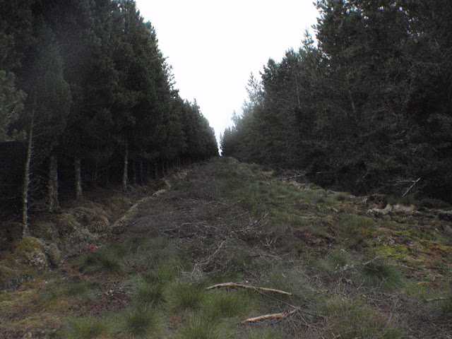
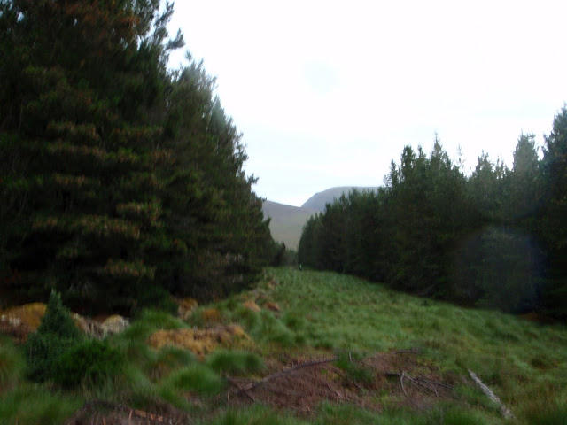
The camera was left in it's pouch as we concentrated on battling on, we made it to Tom a Choinnich, then caught a lucky break in the cloud and could see the line we wanted to take on the descent - along Allt a Gharbh Bhaid and into the Garbat Forest. We navigated the breaks in the forest back to the main path and to the car park.
Relieved to make it down and ready to for some bog walking to the forest..
We came down here..
Then went down there...
Eventually connecting with the main track, and looking a bit drained I must say!
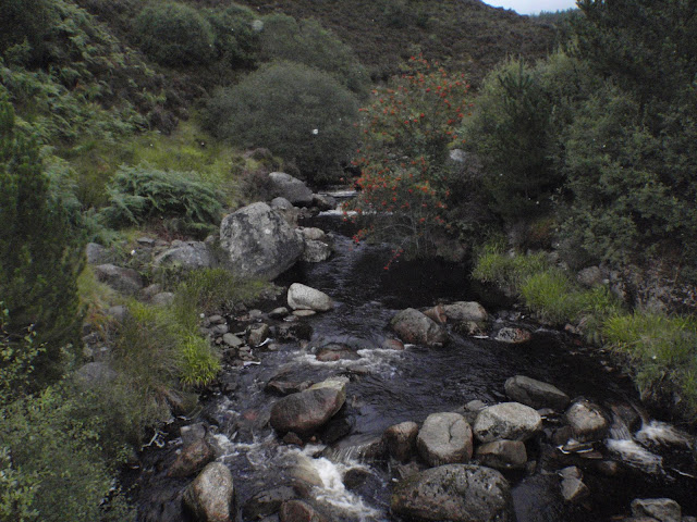
Crossing the bridge over Allt a Gharbh Bhaid
The track then connects back to the main path and it's a short walk back down the path to the car park.
Job done. A great adventure this time. And a lot learned since our [click to view =>]stroll in the sunshine on the same mountain 2 weeks before.
My first real test of rain/strong wind/navigation/bog/cloud/poor visibility/jumping streams/quite a long walk. All brilliant fun, very enjoyable, and a cracking adventure.
Til next time....
Hills - Ben Wyvis
Route - One way route - ascending An Cabar and descending down Tom a Choinnich.
Weather - Poor/Horrible (varying rain all day, WIND, surrounded by cloud most of day)
Attendees - Me & Colin
Time - 7 hrs 30 mins
Distance - 15.5 km
Ascent - 1020 m
Max Altitude -1046 m
Route - ascending An Cabar and descending down Tom a Choinnich.
Would it clear?
Maybe...
Maybe not....
Me, spoiling the best view we would get all day!
We both agreed our newly purchased walking poles made a great difference (especially descent and through the bog later on!). As shown here they are also useful for pointing at rare gaps in the cloud.
Things cleared a little as we approached the summit (Glas Leathad Mor), but it was still raining and extremely windy! - little did we know the worst was yet to come.
Great we made it, now lets get out of this rain and wind
so the 2 man shelter get's it's first outing. I can't praise this thing enough, what a joy to get comfortable and have lunch on a wild wet and windy summit. How we laughed looking out the window of our newfound warm cosy house as the summit cairn took a battering...
Lunch over, shelter packed away, and we leave Glas Leathad Mor and head towards Tom a Choinnich. We checked the map, took a bearing and headed off...well Colin headed off ahead as I thought now's maybe a good time to also switch on GPS just in case we lose ourselves completely. We had agreed before proceeding to do a 100m or so at a time, always ensuring we were en route. Novices that we are, I was impressed with our so far self taught skills, at no point were we far from a retreat to a known location (there's a lot of poles/trig points/cairns betweens these 2 tops) and we made ourselves aware of what we were likely to find if we strayed too far the wrong way.
Visibility worsened from here on, and the wind was so hard it made the rain proper face stinging stuff, you just couldn't face into it. Suddenly the huge expense of all this rain gear all made perfect sense
The camera was left in it's pouch as we concentrated on battling on, we made it to Tom a Choinnich, then caught a lucky break in the cloud and could see the line we wanted to take on the descent - along Allt a Gharbh Bhaid and into the Garbat Forest. We navigated the breaks in the forest back to the main path and to the car park.
Relieved to make it down and ready to for some bog walking to the forest..
We came down here..
Then went down there...
Eventually connecting with the main track, and looking a bit drained I must say!
Crossing the bridge over Allt a Gharbh Bhaid
The track then connects back to the main path and it's a short walk back down the path to the car park.
Job done. A great adventure this time. And a lot learned since our [click to view =>]stroll in the sunshine on the same mountain 2 weeks before.
My first real test of rain/strong wind/navigation/bog/cloud/poor visibility/jumping streams/quite a long walk. All brilliant fun, very enjoyable, and a cracking adventure.
Til next time....