walkhighlands

Share your personal walking route experiences in Scotland, and comment on other peoples' reports.
Warning Please note that hillwalking when there is snow lying requires an ice-axe, crampons and the knowledge, experience and skill to use them correctly. Summer routes may not be viable or appropriate in winter. See winter information on our skills and safety pages for more information.

Ben Macdui

Ben Macdui


Postby HighlandSC » Mon Aug 31, 2009 9:44 pm

Munros included on this walk: Ben Macdui

Date walked: 29/08/2009

Time taken: 7 hours

Distance: 15 km

Ascent: 800m

Register or Login
free to be able to rate and comment on reports (as well as access 1:25000 mapping).

Hills - Ben Macdui
Route - Approach from North (Cairngorm Ski Centre car park) - ascend Coire an t'Sneachda and meet path on east side of Cairn Lochan. Continue on to main summit of Ben Macdui. Return via path on west side of Cairn Lochan down the ridge with Coire on Lochain on our right and back to car park.
Weather - Good. Clear on all but the highest sections. No rain. Breezy at times; mostly light winds.
Attendees - Me & Colin + Roy Stark (http://www.aultsighadventures.com) who we'd hired for 2 days of training on Navigation/Hill Skills (referred to at times in the report as "teacher"!)
Time - 6 hrs 45 mins
Distance - 15.5 km
Ascent - 800 m
Max Altitude -1309 m


benmacduigpxexport.gpx Open full screen  NB: Walkhighlands is not responsible for the accuracy of gpx files in users posts


profile.jpg
Profile


Ben Macdui was done on day 2 of a 2 day course on navigation + hill skills with Roy Stark. The course involved a mix of navigational skills such as:
  • Pacing
  • Map reading/orienting
  • Contour interpretation
  • Route choice
  • Map scales and measuring distances
  • Aiming off, attack points, collecting features, handrails.
  • Grid references

In amongst all the "standard" advice (gear, etc, etc), Roy also has an interest in and wealth of knowledge on the surrounding flora & fauna. As we were walking along Roy was spotting things we'd never have noticed....all sorts of different plants, moss, trees, etc - it really makes the whole experience more interesting and educational. There's so much good stuff to learn about the environment around you in these places - Roy's a good man if you want to ensure you get this from a guide; I must get back in touch with him to find out the name of the small green clover leaf type plant that tasted like apple - will eat more of that again!. Overall it was a great trip; Roy was a good laugh and made everything safe and enjoyable. We'll certainly be going back to see him in the future for some hard scrambling / rock climbing / Skye/Inn Pin / ice climbing (lol...one step at a time). For long periods I ignored the camera as we concentrated on navigation excercises; but of course I managed a few snaps along the trip...........

For those interested, I have a report of Day 1 spent at low levels in the Cairngorm area - Loch Morlich / Glenmore Forest Park (Cairngorms)

Okay, Ben Macdui....

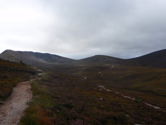
We leave the car park and head along the path towards the Northern Corries:
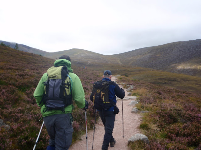
Image

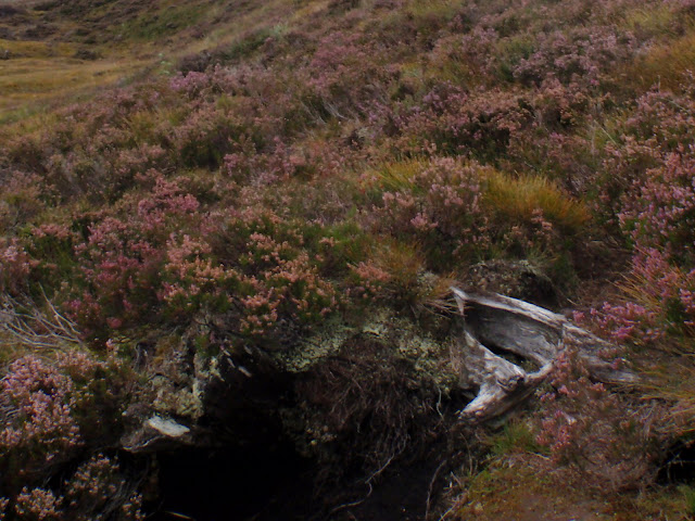
Some moss on the rock: (I forget the interesting fact about it....)
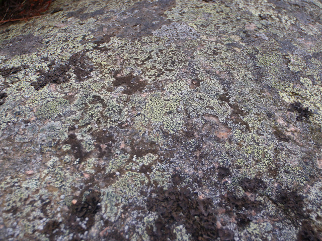
Image

Bogwood; apparently 6000 years old:
Image

Cool little caterpillar on the path (Emperor Moth Caterpillar)
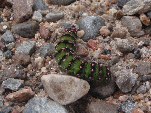
Image

Emperor Moth Caterpillar
Image

Northern Corries:
Image

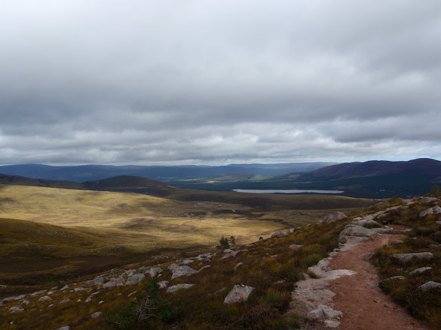
Looking back towards Loch Morlich:
Image

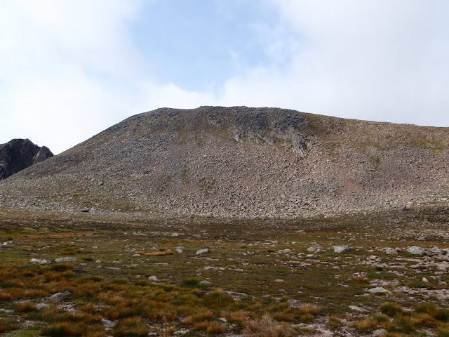
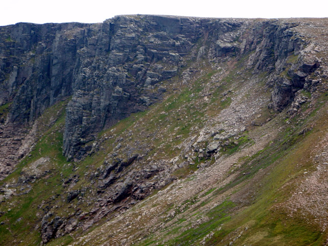
Northern Corries - Coire an t-Sneachda
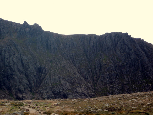
Image

Image

Can you spot the 3 climbers at the bottom of their pitch?
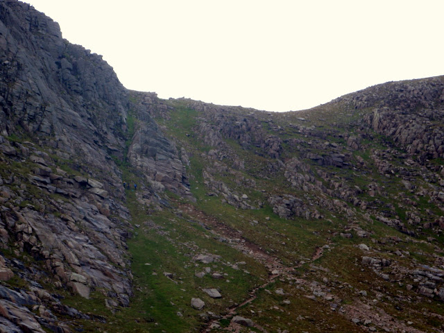
Image

[no climbers here] but a nice looking rock face...
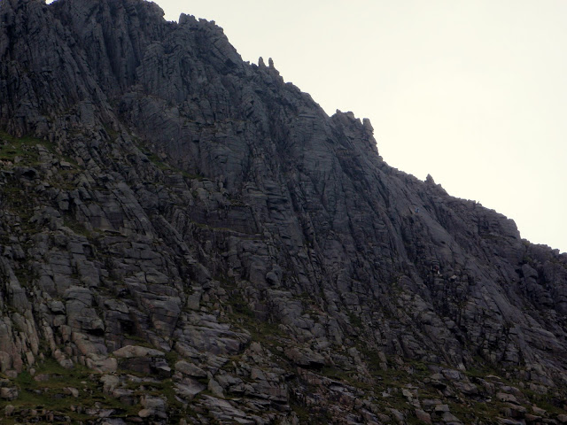
Image

Top of Coire an t-Sneachda - looking North:
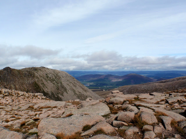
Image

Top of Coire an t-Sneachda - looking NW:
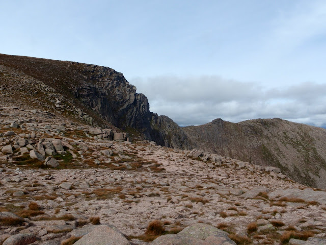
Image

Top of Coire an t-Sneachda - looking NE:
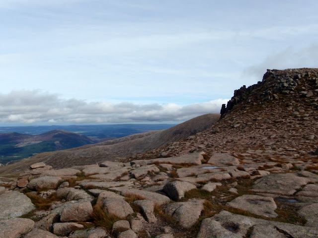
Image

Top of Coire an t-Sneachda - looking South (we took a path veering off to the right of the pic)
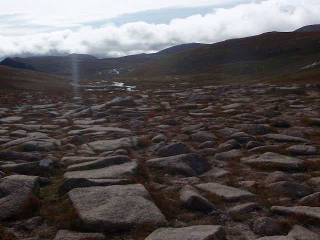
Image

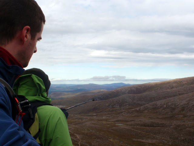
The teacher points out some things to his pupils.....
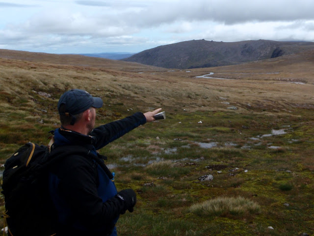
Image

Never mind the hill in the background with lumps on top (something to do with the glaciers...i forget), down there is the crag "Hells Lum" :twisted: , of interest to me as an armchair rock climber - it's where Dave Macleod filmed a climb shown on the BBC a few years ago. The climbing route is named "To Hell and Back", graded at E10 ( :crazy: ). Most important part of climb description: "A fall from anywhere on the second half of pitch one is unlikely to be survivable". There are however about 30 climbing routes down there of all grades. Oops...I'm on a walking forum aren't I....
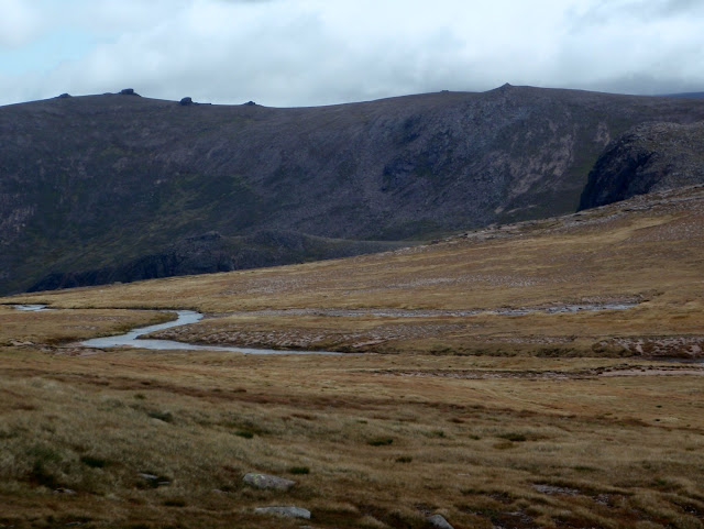
Image


Right, sorry, back to the walking....

The camera was put away for a while (you're not missing much!), as we got higher and met up with the clag (to the teachers delight and the pupils dismay :lol: ) - then followed was a blur of map reading, path finding, bearing taking, lunch, then before we knew it...
Image

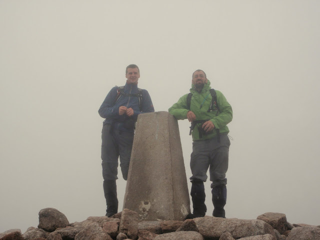
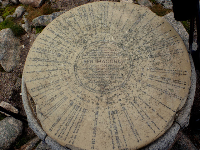
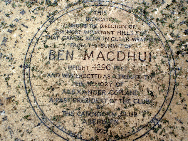
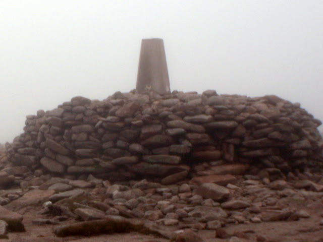
Summit of Ben Macdui. At the summit we met a couple, of which the lady was doing all the Munro tops and deleted tops! Good on her. I told her we were on Munro 002 :lol:
Image

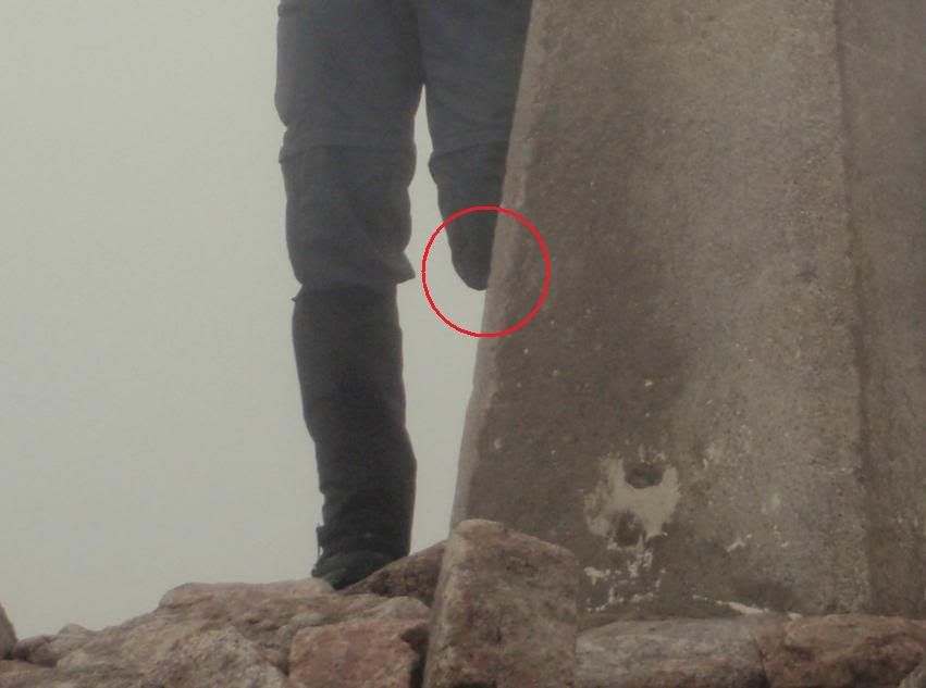
As I went to leave the cairn, I shockingly realised that Caberfeidh must have snuck up behind me and performed an amputation!!
Image

Image

Image

Is this the way out? Time to test the navigation skills.....
Image

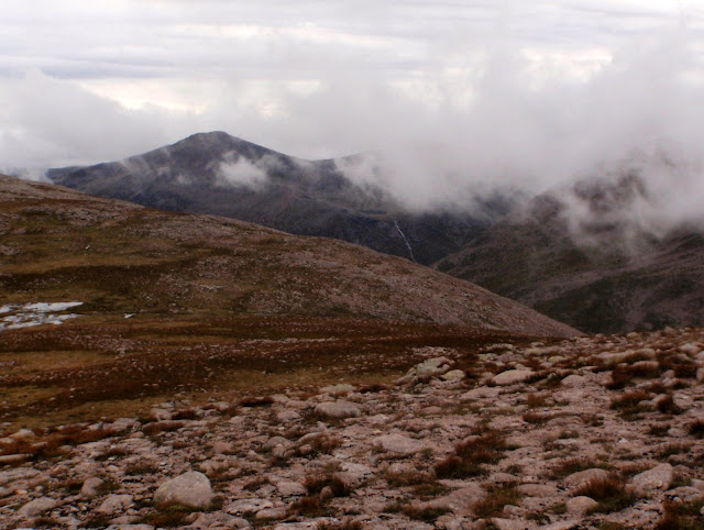
The summit of Carn Toul appearing in the background through the cloud:
Image

Braeriach ridge (will give that a go sometime...)
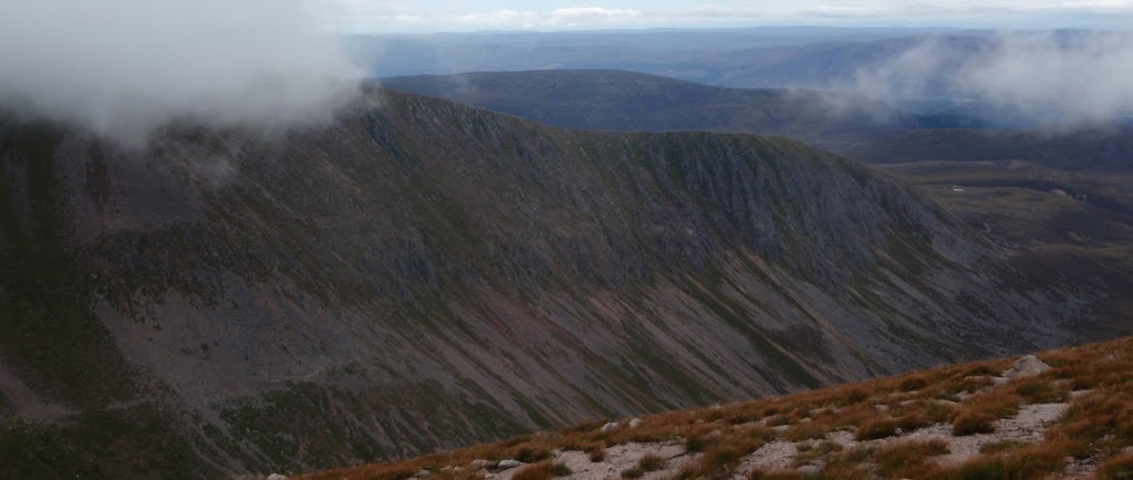
Image

We continue along the path...
Image

Can't help but take another look at Braeriach ridge:
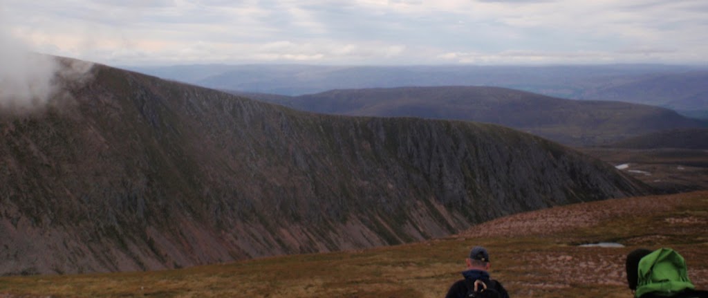
Image

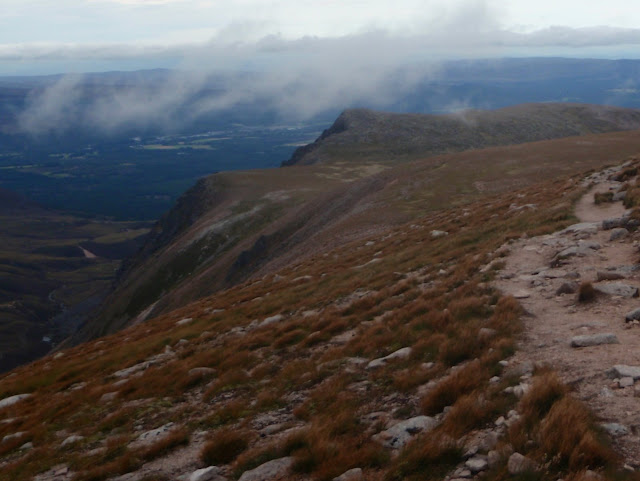
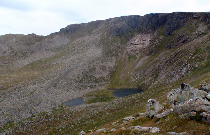
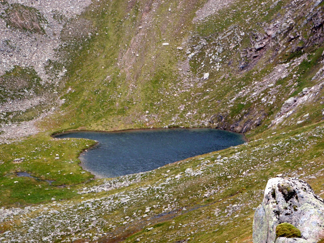
Another couple of Km's along the path and we hit the west ridge of Coire an Lochain:
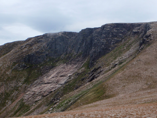
Image

Prone to a good avalanche in winter I'm told...
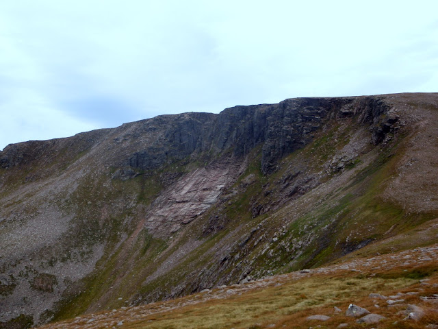
Image

Image

Image

Image

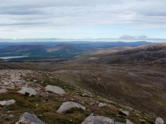
And the home leg to the car park begins:
Image

The teacher pointing out another interesting fact (can I remember it at the momemnt? :lol: )
Image

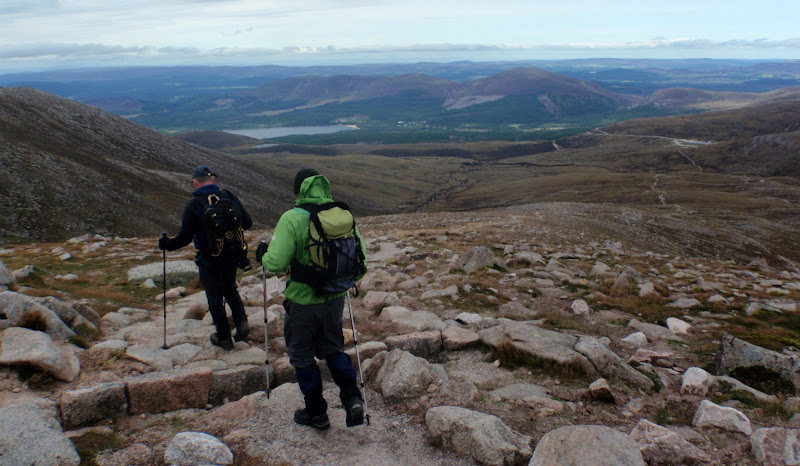
Right, lets crack on to the car park:
Image

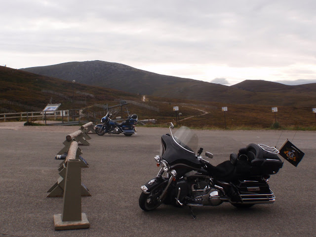
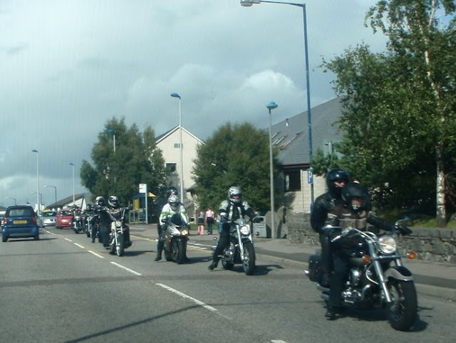
Done! (met some left overs of the Thunder in the Glen biker event)
Image

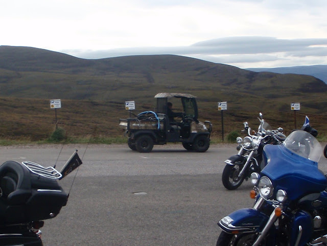
Someone brought the wrong type of vehicle to the event:
Image

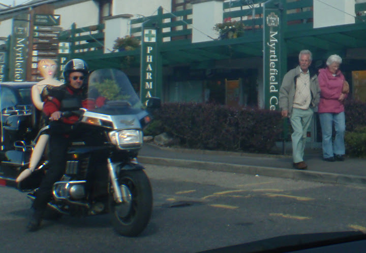
(some pics from the day before in Aviemore)
Image

Look at the biker chick on the back of that :lol:
Image

She's disgusted, but he looks like he wants one...
Image
Last edited by HighlandSC on Thu Jan 21, 2010 2:02 pm, edited 4 times in total.
User avatar
HighlandSC
 
Posts: 2188
Munros:33   Corbetts:4
Fionas:2   
Sub 2000:14   
Islands:8
Joined: Jul 12, 2009
Location: USA (formerly Inverness)

Re: Ben Macdui

Postby mountain coward » Mon Aug 31, 2009 9:57 pm

That post is hilarious in places - thanks for a great laugh (the neighbours don't agree however!;-) Loved the bike passenger but loved that couple's faces (on the pavement) even more! Also loved the amputation shot! :lol: Shame your teacher didn't take you over to see Hell's Lum - it's very interesting. To get right to the edge of it to look down, you have to jump a narrow gap with a huuuuuuge drop beneath you - luckily the gap is only about a foot wide but the drop will be in hundreds of feet probably! Very exciting and interesting place!
mountain coward
 

Re: Ben Macdui

Postby Stretch » Mon Aug 31, 2009 10:24 pm

The blow up doll on the motorcycle put this report over the edge haha. Great stuff. Ben Macdui was my 1st munro and I had the exact same views from the top as you did, although I still had both of my legs in my summit pic. We branched off to include Cairn Gorm that day where the lower peak offered extensive views. About the guide and the navigational training you received . . . from your 2 days out, what is the level of confidence you are at now if you were to be on the hills without the guide in say poor weather?

Also, I don't see a price for the 2 day nav course on his site, how much was this?

Once again, great trip report.
User avatar
Stretch
Munro compleatist
 
Posts: 1714
Munros:146   Corbetts:8
Sub 2000:2   
Joined: Jun 15, 2009
Location: Morristown, Tennessee

Re: Ben Macdui

Postby HighlandSC » Mon Aug 31, 2009 10:52 pm

:lol: glad you liked the report guys.

Mountain coward - thanks for the comments, I do want to go over for a proper look sometime. Believe it or not you came to mind as I was reading that scarey horrific climbing route description! - helps put things in perspective! (2 mins before I was reading your post about the step on skye).

Stretch - Cairn gorm was purposely missed out, as he said it'd make a good one to back to and do ourselves. I presume it also meant the day wouldn't be too mammoth. I'm glad we went up through the corrie though, as I got to watch 2 different groups of rock climbers there.

I have huge confidence to be out in challenging conditions now; it's funny, you can read and read and read about stuff, but it only really sinks in with practical training/experience. It's experience that I now need to build up and make skills learned become 2nd nature...but that'll come...quickly if I get my way.

Roy's courses are pretty much all custom made I think, we discussed requirements beforehand and he suggested a plan which I liked. Like most (all?) he's a Mountain Leader, and also has Single Pitch Award for climbing. Other navigation courses I looked at are just 1 day, or even half a day and in much larger groups - but we wanted navigation + guidance on many other aspects so 2 of us went for the weekend with Roy. In TOTAL it was £180 (so £90 each) for 2 days, each starting 8am in Inverness and finishing approx 5pm - you should find that this is a good price.
User avatar
HighlandSC
 
Posts: 2188
Munros:33   Corbetts:4
Fionas:2   
Sub 2000:14   
Islands:8
Joined: Jul 12, 2009
Location: USA (formerly Inverness)

Re: Ben Macdui

Postby legendaryjordan » Mon Aug 31, 2009 11:06 pm

Excellent walk report filled with wonderful pictures!!!!!

Well done!
legendaryjordan
Mountaineer
 
Posts: 43
Joined: Aug 27, 2009

Re: Ben Macdui

Postby Stretch » Mon Aug 31, 2009 11:31 pm

Cheers for the info, I'll certainly look into setting up something and if anyone else from the site wants to go in on it let me know.

Thought I'd post 2 memorable pics from my day on Macdui and Cairn Gorm. Closest thing I've had to a cloud inversion!

Spot the mountain climbers.jpg


Cloud pouring into Coire an t-Sneachda.jpg
User avatar
Stretch
Munro compleatist
 
Posts: 1714
Munros:146   Corbetts:8
Sub 2000:2   
Joined: Jun 15, 2009
Location: Morristown, Tennessee

Re: Ben Macdui

Postby HighlandSC » Mon Aug 31, 2009 11:54 pm

Nice pics stretch :)

Obviously cloud in the way, but it does look like you'd get a good view into Coire an t-Sneachda from Cairn Gorm (that is where the pic is taken from is it?)
User avatar
HighlandSC
 
Posts: 2188
Munros:33   Corbetts:4
Fionas:2   
Sub 2000:14   
Islands:8
Joined: Jul 12, 2009
Location: USA (formerly Inverness)

Re: Ben Macdui

Postby Stretch » Tue Sep 01, 2009 12:09 am

Yeah it was taken near the base of Cairn Gorm. When we reached the corrie I stood alongside the edge and watched as the cloud poured into it like a waterfall, pretty spectacular. Then I pulled out the map to have a quick glance at our position and a gust of wind blew it out of my hands. I ran after it for about 4 steps . . . then realized it was just a map and let it blow over the edge. It probably ended up in Aviemore somewhere :lol:
User avatar
Stretch
Munro compleatist
 
Posts: 1714
Munros:146   Corbetts:8
Sub 2000:2   
Joined: Jun 15, 2009
Location: Morristown, Tennessee

Re: Ben Macdui

Postby legendaryjordan » Tue Sep 01, 2009 12:43 am

Stretch, that second view looks absolutely amazing. I would give anything just to see that.

So jealous...
legendaryjordan
Mountaineer
 
Posts: 43
Joined: Aug 27, 2009

Re: Ben Macdui

Postby mountain coward » Tue Sep 01, 2009 9:26 pm

Putting my couple of "Hell's Lum" photos on...
Cairngorms-Hell's Lum & Shelter Stone Crag.jpg
Cairngorms-Hell's Lum.jpg
mountain coward
 

Re: Ben Macdui

Postby HighlandSC » Sun Sep 06, 2009 12:20 am

mountain coward, we're going into hells lum tomorrow after doing Cairn Gorm, taking the path down Coire Raibert into it. Am I right in thinking I've seen a path on a harveys map that leaves the crag north west up beside Allt Coire Domhain?
OS Map http://www.multimap.com/s/jlIzMvBl
That would lead up to here from the crag in the background.

Image Looks like it would be a steep path up to there if there is one, perhaps marshy/boggy - I'm sure there was a lot of water about that bit, do you know?
User avatar
HighlandSC
 
Posts: 2188
Munros:33   Corbetts:4
Fionas:2   
Sub 2000:14   
Islands:8
Joined: Jul 12, 2009
Location: USA (formerly Inverness)

Register or Login
free to be able to rate and comment on reports (as well as access 1:25000 mapping).


Can you help support Walkhighlands?


Our forum is free from adverts - your generosity keeps it running.
Can you help support Walkhighlands and this community by donating by direct debit?


Return to Walk reports - Scotland

Who is online

Users browsing this forum: Gavin99, jimmy1070, Mtony, Nmorrison05, Swisspeter and 63 guests