free to be able to rate and comment on reports (as well as access 1:25000 mapping).
Hills: Beinn Breac-liath attempted
Date: 24/12/2011
Length: 5km
Ascent: 600m
Time taken: 2 hours 30 minutes
Weather: Howling. Not known this much wind since the last works curry night!
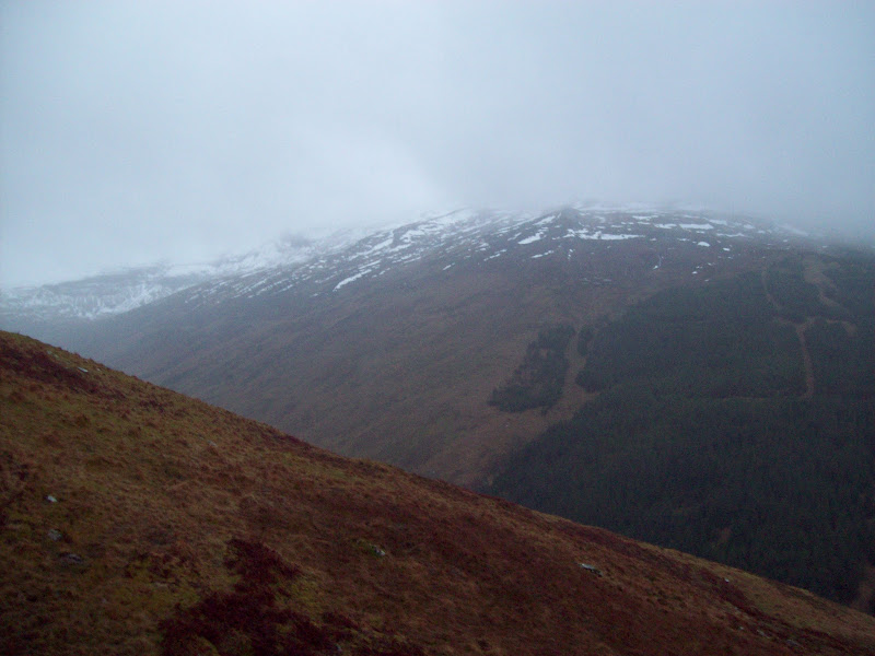
The story actually starts in Tyndrum rather than Perth. I'd driven over first thing to meet up with Kevsbald, Leithysuburbs, Gavin99 and Daveh to have a bash at Beinn Breac-liath and Beinn Udlaidh. At one point we even considered the Graham of Beinn na Sroine too, although this was dismissed within 30 seconds of meeting.
Kev's report covers the full gory details of our walk, suffice to say that we didn't reach any summits due to extremely strong winds. We were barely able to stay on our feet or move in the desired direction, and although we didn't have much more height to gain, there's no way we were going to spend any longer outside. A speedy retreat back to the cars in Glen Orchy, and we were in the Green Welly Stop cafe before midday.
Beinn Udlaidh:
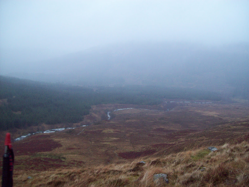
Glen Orchy:
On the drive home, I had vague ideas about stopping and having a go at something smaller, but the weather wasn't improving much. Some sun appeared at Crieff, and I had a notion of visiting the Knock of Crieff, but I still didn't feel like getting out of the car.
~~~~~~~~~~~~~~~~~~~~~~~~~~~~~~~~~~~~~~~~~~~~~~~~~~~~~~~~~~~~~~~~~~~~~~~~~~~~~~~~~~~~~~~~~~~~~~~~~~~
Sub 2000's: Moncrieffe Hill
Date: 24/12/2011
Length: 2km
Ascent: 130m
Time taken: 35 minutes
Weather: Windy but mainly dry and clear. Overcast.
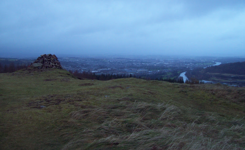
Fortunately I remembered Moncrieffe Hill just outside Perth. With the rain easing off, I could climb this without even having to change back into my wet clothes. Luckily (and rather randomly) I had the OS map in the car, so I was able to find my way to it (so close to the motorway but actually quite fiddly to get to!)
I wasn't sure of my route, but saw a big car park with Moncrieffe Hill' signposted from the Rhynd road. Seemed like a good hint! I parked up and followed a very well made path towards the hill fort remains on the summit. The going got a little muddier before the final rise, but not much, and in 20 minutes I was on the top. Hardly worth producing a report for really, but on a good day, there would be fine views down the Tay Estuary and up towards Dunkeld. I nipped back down the same way, although you could easily make a couple of hours worth of walking in the area if you had time. It seemed to be a very popular after lunch walk for dog walkers and families.
Ascent path:
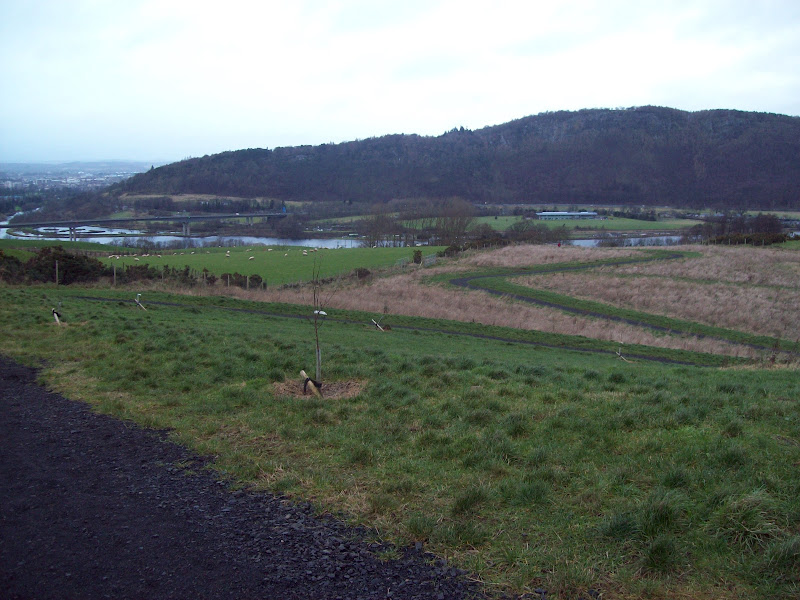
Tay Estuary:

The road to Edinburgh:
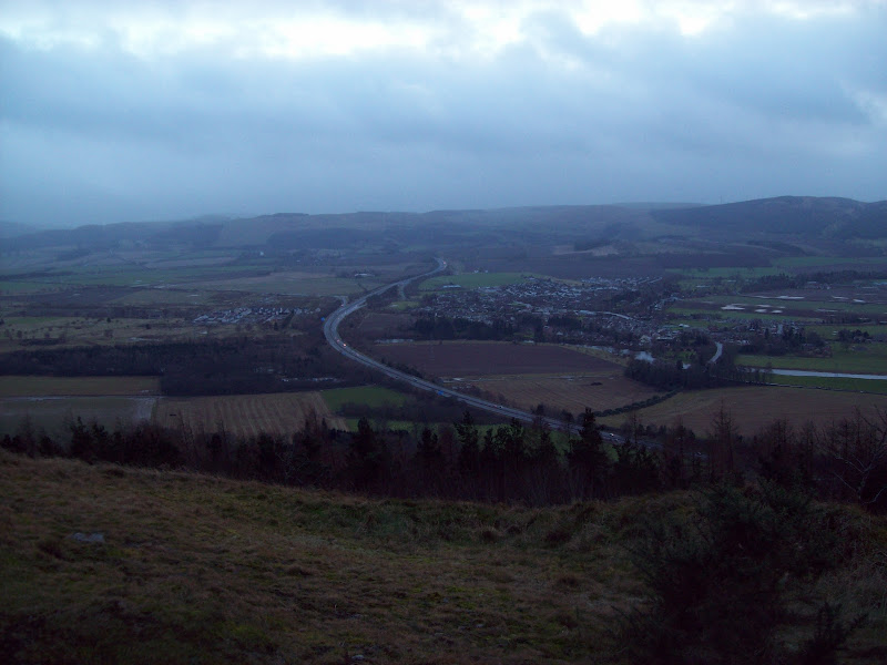
Perth:
As I had neglected to mention this little detour on the phone earlier, I was in hot (well, lukewarm) water again for being late. Some people just never learn!
