free to be able to rate and comment on reports (as well as access 1:25000 mapping).
The last time I was up The Cairnwell and Carn Aosda, it was really wintry with gale force winds, so we had decided to forgo the third, slightly more remote munro, Carn a' Gheoidh. I wasn't particularly enthusiastic about attempting it again given the prospect of having to pass all of the ski paraphernalia.... Then I discovered, in the Pocket Mountains guide, an alternative route that sounded much more scenic and enjoyable. So we gave it a go.
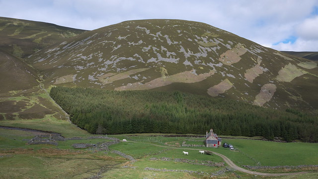
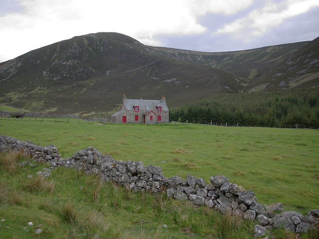
We parked by the entrance to Baddoch, just south of a plantation of trees off the A93 and headed up the track, slightly confused by the absence of a stile that the book mentioned. Crossing the bridge over the river we soon reached the house at Baddoch itself, then turned southeast to climb up to the gentle ridge of Strone Baddoch where we joined an old path.
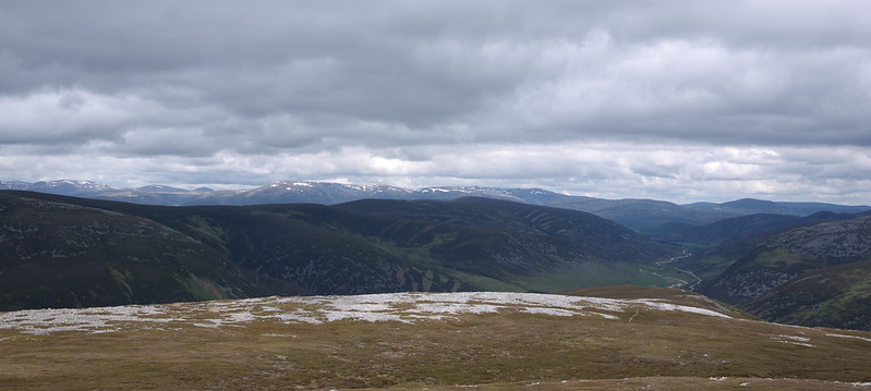
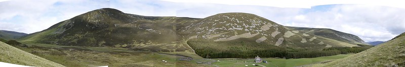 Baddoch panorama
 by
GariochT, on Flickr
 P1040086R
 by
GariochT, on Flickr
 P1040093R
 by
GariochT, on Flickr
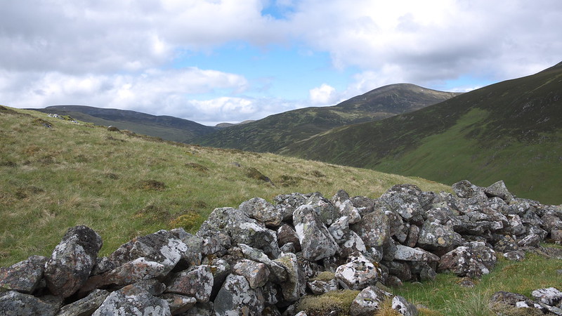
We passed a series of grouse butts, each one clearly numbered. We gradually gained height as we headed south, at first having fine views down Glen Clunie and then enjoying even finer views across to the main Cairngorms massif to the northwest.
 P1040095R
 by
GariochT, on Flickr
 P1040098R
 by
GariochT, on Flickr
 P1040107R
 by
GariochT, on Flickr
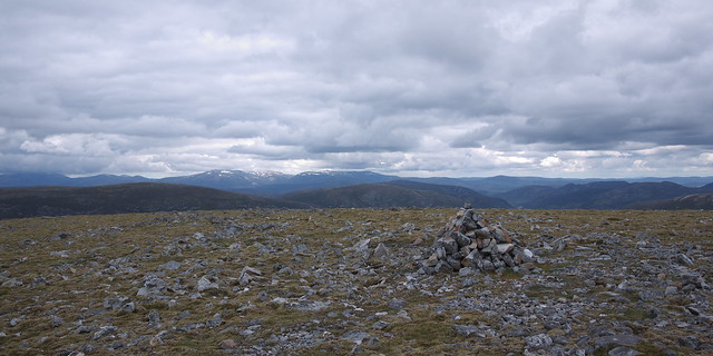
After passing Carn Chrionaidh it was not long before we had reached Carn Aosda. Ok, this was a walk where the views on the ascent were better than those from the top.
 P1040132R
 by
GariochT, on Flickr
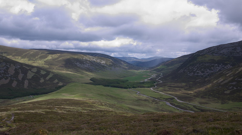
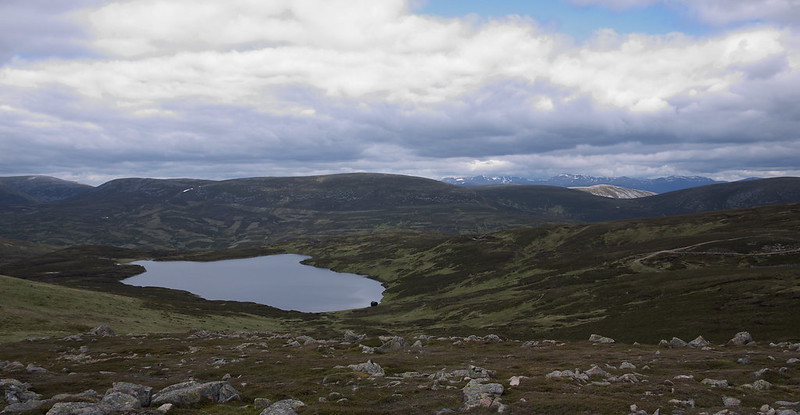
We then descended to the bealach near Loch Vrotachan; skirted round the edge of the corrie of Allt a' Choire Dhirich, and then made our way up the ridge to Carn nan Sac. The views were improving again, especially towards the southwest!
 P1040110R
 by
GariochT, on Flickr
 P1040118R
 by
GariochT, on Flickr
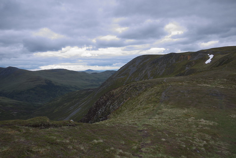
Soon we arrived at Carn a' Gheoidh. We had a rest in the stone shelter by the cairn, and were joined by two young children and their dad, who had ascended from the ski centre car park.
After the obligatory photographs at the summit cairn we descended the broad north spur to the headwaters of the Baddoch Burn. The book mentioned a 'hidden footbridge' (not shown on our maps) that we could cross to reach the west bank, but the water was low enough to ford - a bridge wasn't required. We headed northeast along the river bank and soon found the track that we were to follow down to Baddoch. We also spotted both the 'hidden footbridge' and several other bridges across tributaries of the burn.
It was a pleasant walk back to Baddoch, past a few sheilings on the way. In fact the entire walk had been surprisingly scenic and definitely much better than the conventional ski-slope route. A great day, rounded off by an al fresco dinner at the reopened Hungry Highlander.
 P1040138R
 by
GariochT, on Flickr
