free to be able to rate and comment on reports (as well as access 1:25000 mapping).
So, it was time for a second attempt to cycle up Glen Callater to bag Carn a' Choire Bhoidheach... The first attempt was an abysmal failure as a result of a seized-up rusty bike chain due to months of neglect and we had ended up walking up Carn an Tuirc instead. Since then a shiny new bike chain and freewheel had been installed and my bike was now trail-ready.
We set off up the track from the car park at Auchcallater on the bike and I breathed a sigh of relief – I had not forgotten how to cycle!
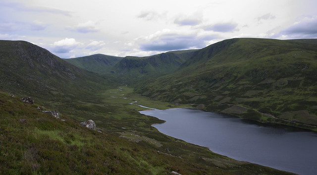
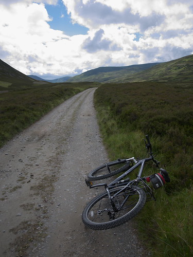 P1050081R
 by
GariochT, on Flickr
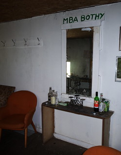
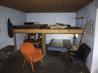
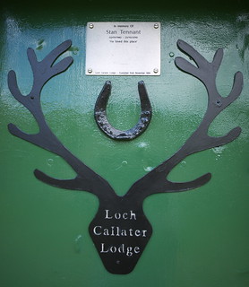
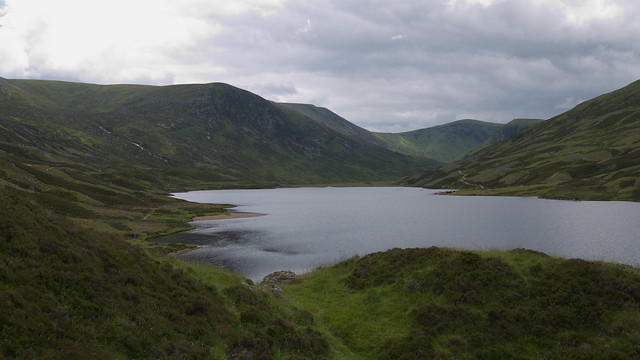
The track up the glen was ideal for cycling (well, apart from the fact that it goes slightly uphill...) and it wasn't long before we reached Loch Callater Lodge and Callater Stable. The bothy seemed quite luxurious (relatively speaking) with fancy armchairs, even.
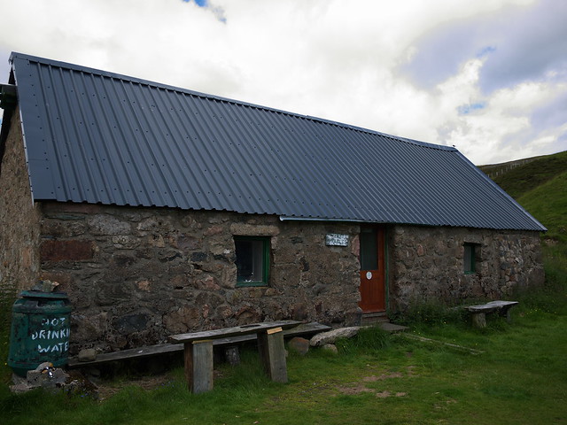 P1050088R
 by
GariochT, on Flickr
 P1050085R
 by
GariochT, on Flickr
 P1050084R
 by
GariochT, on Flickr
 P1050090R
 by
GariochT, on Flickr
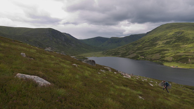
We wheeled our bikes uphill, over a stream and around some hummocky ground before finding a good spot to hide them. Then we started to bosh up hill, to join the track that contours around Creag an Loch – we couldn't see the track but knew it was 'up there somewhere', as it was on the map. A couple of other walkers above us seemed to be strolling along with little effort which hinted that they may have been on the path – and sure enough, they were.
 P1050097R
 by
GariochT, on Flickr
 P1050107R
 by
GariochT, on Flickr
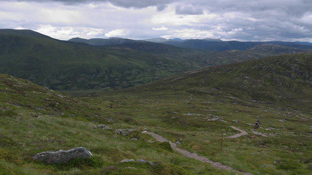
The path made for much easier walking, and we made our way along it, enjoying the views up the glen. It then turned towards the northeast and wended its way up the hill. A mountain biker passed us, confidently negotiating the steppy and rocky path on his bike. He was followed by another biker who was...erm, a bit less confident. Still, much more confident than I would be though... I would be walking the bike all of the way down!
 P1050111R
 by
GariochT, on Flickr
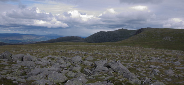
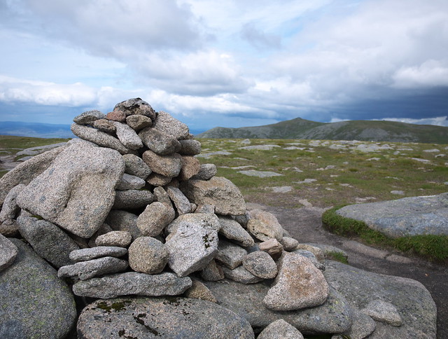
As we got higher we left the path and headed up the northwest slopes of Carn an t-Saigairt Mor, mainly to look out for ptarmigan and other wildlife. We spotted a mountain hare, and a gate (ok, the gate isn't wildlife but it was slightly interesting nonetheless.)
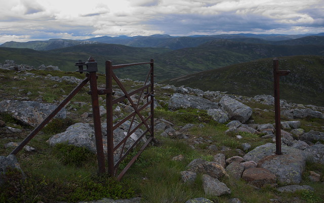 P1050116R
 by
GariochT, on Flickr
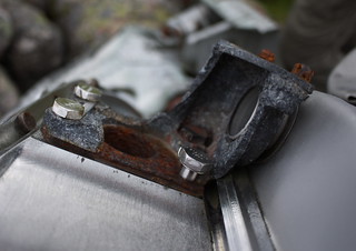
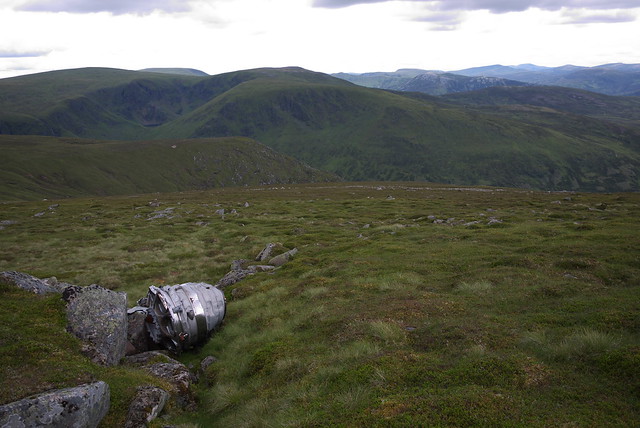
We also found various items of wreckage belonging to a RAF English Electric Canberra (designed as a high-altitude jet bomber) that had crashed on 22 November 1956. (More information is at
http://www.aircrashsites-scotland.co.uk/canberra_c-t-sagairt-mor01.htm)
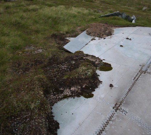
The wreckage was surprisingly widely scattered over the hill. Some of it such as one of the wings was gradually being assimilated into the landscape, with moss and lichen starting to grow on and around it.
 P1050120R
 by
GariochT, on Flickr
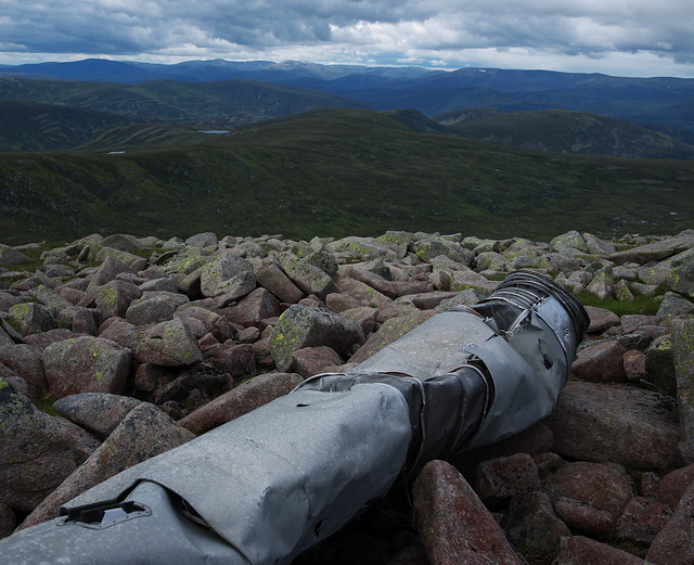 P1050125R
 by
GariochT, on Flickr
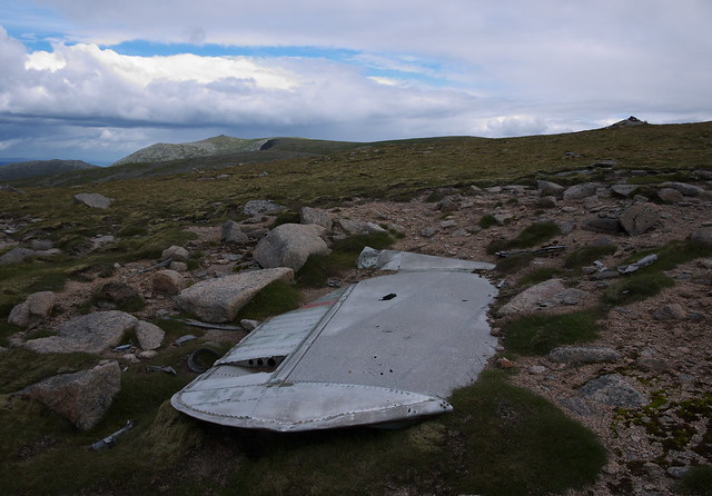 P1050133R
 by
GariochT, on Flickr
 Wing Loch
 by
GariochT, on Flickr
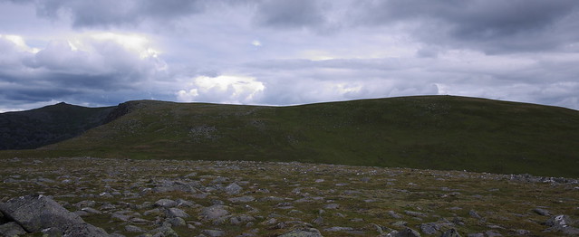
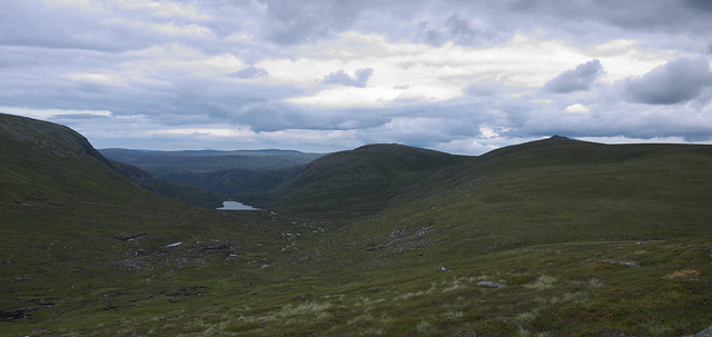
We then headed across to Carn an t-Saigairt Beag then across boggy flat ground to The Stuic.
The view of Carn a' Choire Bhoidheach was stunning. (I may be being ironic...)
 Lochnagar from Carn an t-Saigairt Mor
 by
GariochT, on Flickr
 Carn a' Choire Bhoidheach
 by
GariochT, on Flickr
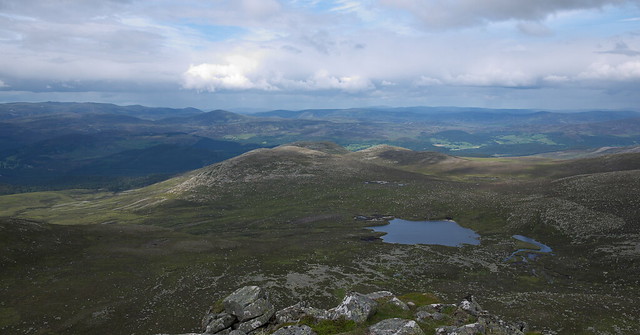
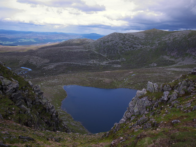
The views from The Stuic, down to Sandy Loch and Loch nan Eun and across to Cac Carn Beag were even better. We spotted a ptarmigan here.
 By The Stuic
 by
GariochT, on Flickr
 Sandy Loch and Invercauld
 by
GariochT, on Flickr
 Cac Carn Beag and Loch nan Eun
 by
GariochT, on Flickr
It was a hop, skip and a jump to Carn a' Choire Bhoidheach. Although we did none of these; we just walked.
 P1050198R
 by
GariochT, on Flickr
Then we headed northwest to join the track, which skirted around the southern side of Carn an t-Saigairt Mor (where more aircraft wreckage was found) then its western side, then descended to the bikes.
 P1050204R
 by
GariochT, on Flickr
 P1050216R
 by
GariochT, on Flickr
 P1050226R
 by
GariochT, on Flickr
 P1050237R
 by
GariochT, on Flickr
The cycle back to the car park was even better than the outward cycle – downhill virtually all of the way!
