free to be able to rate and comment on reports (as well as access 1:25000 mapping).
Date - Sat 21/11/2009
Hills - Craig Phadrig (172m) & Dunain Hill (288m), Inverness (plus a bit of the Great Glen Way route in the city)
Weather - Nice clear/bright start (7am). Clouds rolled in as forecast at midday - 1 brief shower as this happened but the worst rain struck after 3pm when I was at home with my feet up. Result.
People - Me
Time - 6 Hours
Distance - 18km
With rain forecast all over the place and my lack of a will to beg, borrow or steal a car to go afar I thought I'd see where I could end up by walking out the house and exploring my immediate surroundings properly.
It ended up being a combination of the inner Inverness City section of the Great Glen Way (start or finish off the overall route depending on how you do it!), with detours to a couple of the small hills surrounding the city - Craig Phadrig & Dunain Hill.
The route begins in the city centre and heads South on the East bank of the River Ness (as walked by me every day to work! - nice change to swap the suit and shoes for walking boots and Goretex this time!

). Cross the river via Ness Islands and continue on the Great Glen Way (GGW) route - past the Sports Centre and North-West along the canal. Leave the canal path and past the golf course before ascending towards the Hospital grounds. Leave the GGW route by going NW through Leachkin en route to Craig Phadrig. After the Craig Phadrig circuit go SW down the road briefly before joining a track that passes the Chambered Cairn and crosses the GGW path and on to the track contouring round Dunain Hill in an anti-clockwise direction. I then took the GGW back into Inverness, joining where I cut off earlier in the day at the Hospital, and retracing my footsteps back to the start (although returning on the West bank of the River Ness and going over the footbridge near the end).
It was a nice enough walk, with plenty of interest along the way. Very few view points whilst on the small hills (there IS a few spots though) to get a view (mostly blocked by trees) but as the pics show there's plenty of other vantage points for a brief view in most directions - just not all at the same time!
Looking W across River Ness and the Cathedral. You can make out Dunain Hill in the background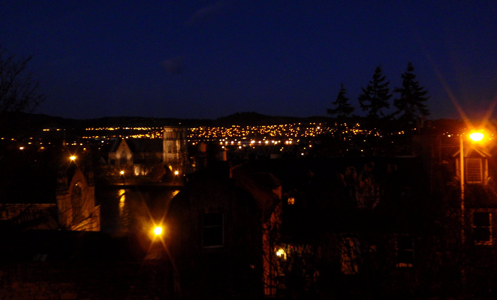
A recent daylight shot from same spot:
Again from same spot turning to face NW - you can make out
Ben Wyvis in the distance:
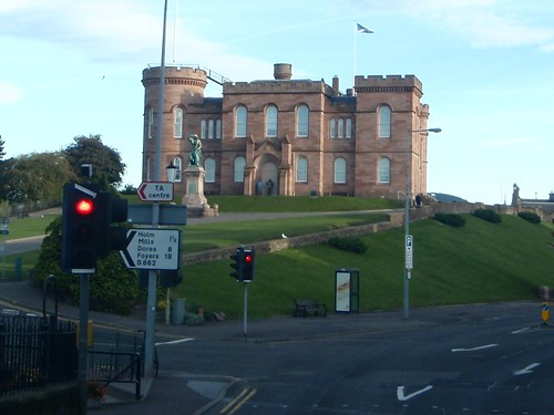
 Inverness Castle
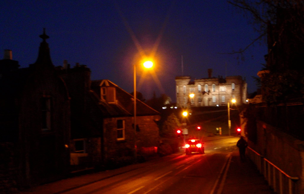
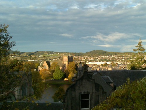
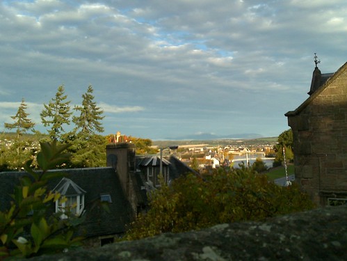
Another recent shot:
 Start of Route. The Thistle symbol is used on markers throughout the GGW route
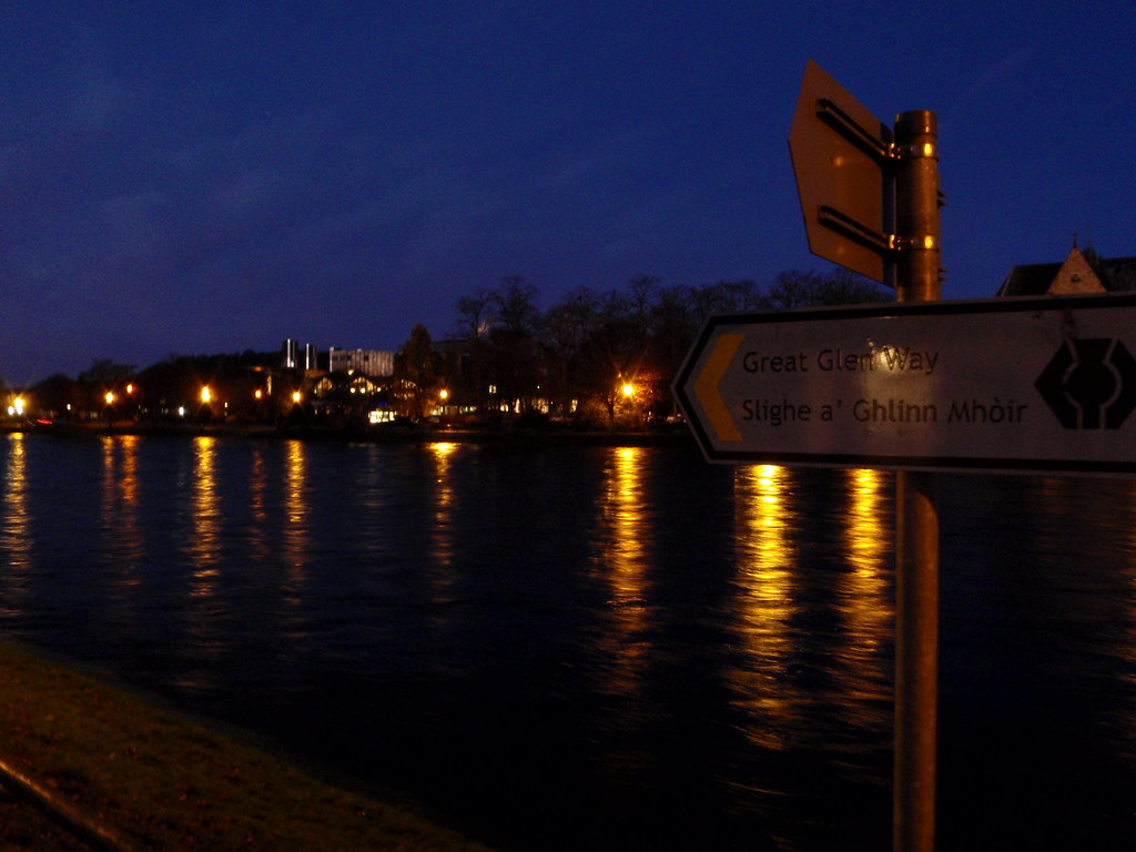 Inverness Cathedral
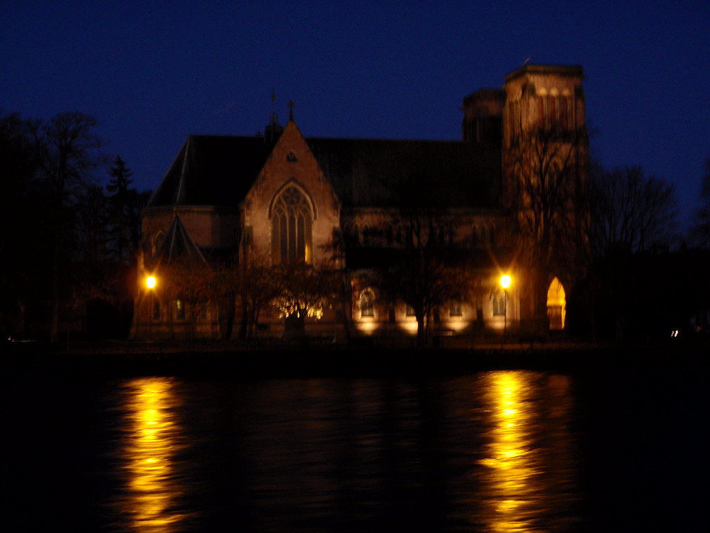 Eden Court Theatre
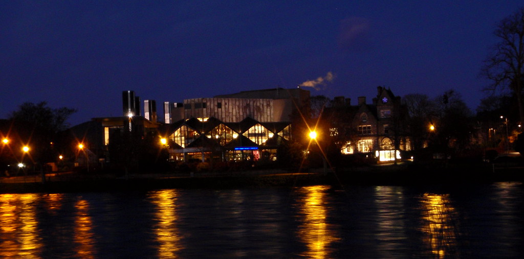
Looking across to Eden Court (14/10/2009)
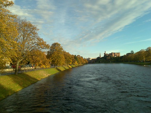
 Looking back North toward the Castle
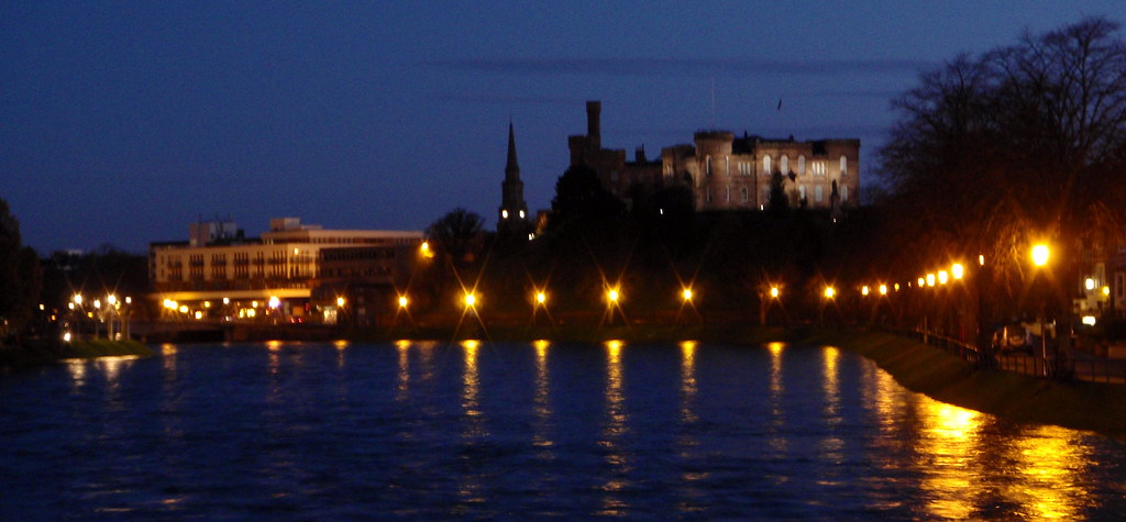
And again (14/10/2009):
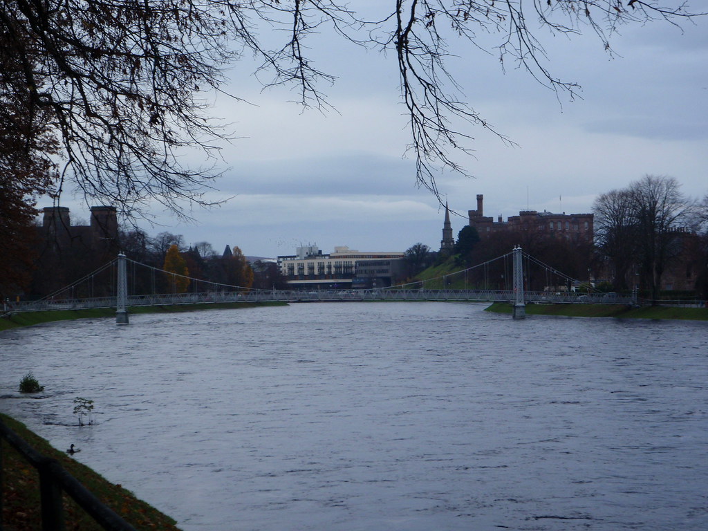
 South down River Ness from the footbridge
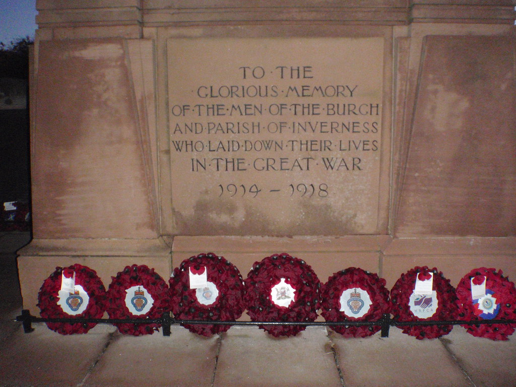
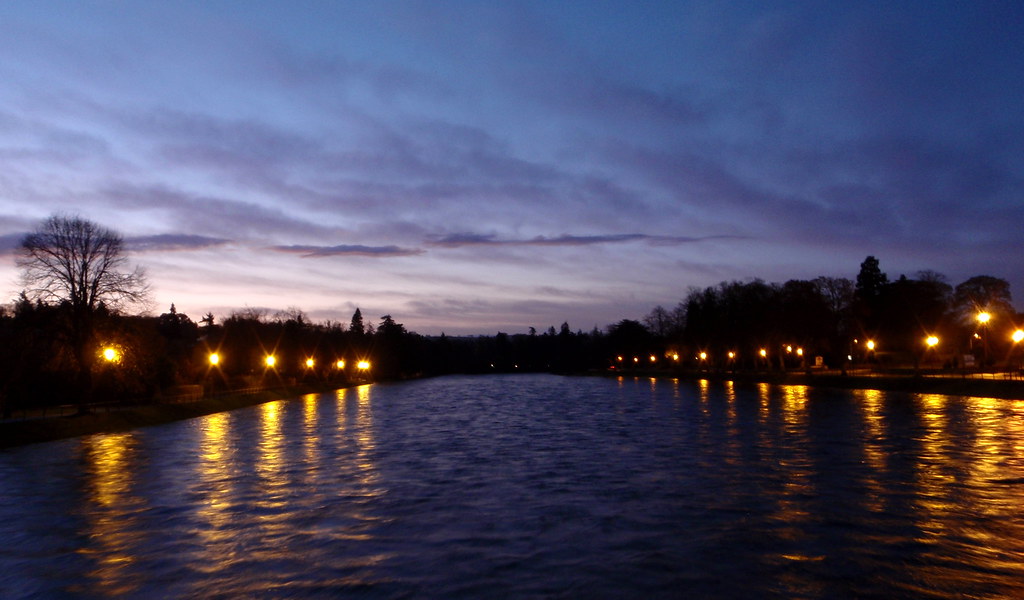 War Monument
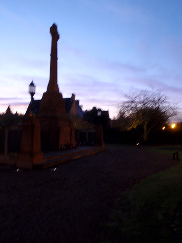
 Looking toward the footbridge from the War Monument
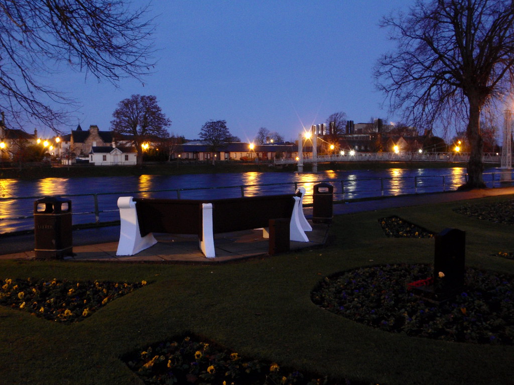 There's lots of benches in the nooks and crannies around Ness Islands - although with all the recent rain you'd have gotten wet going near most of them today!
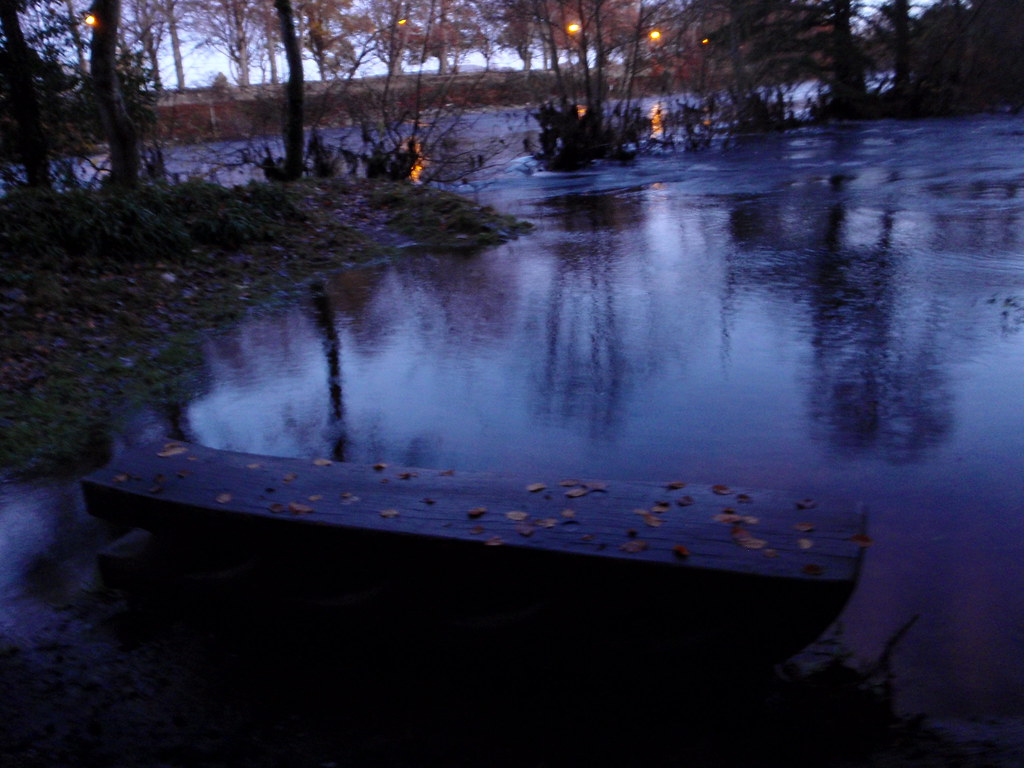 However there were some dry spaces to be found
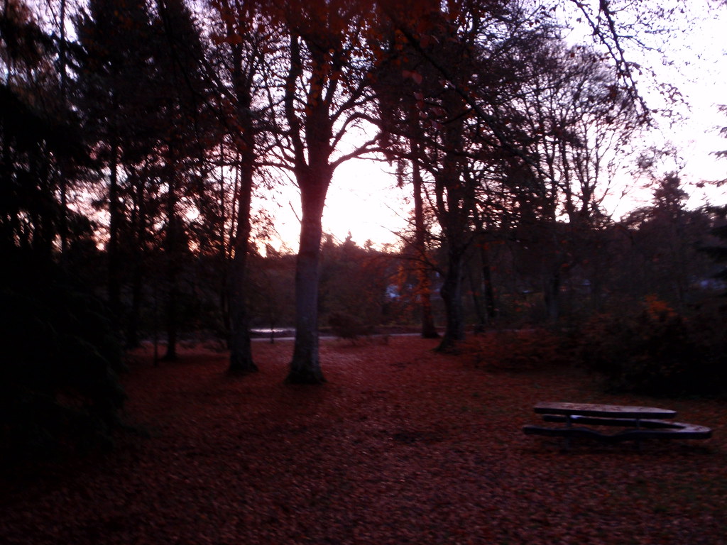 Coffee anyone? Not for me. That's the Cemetary hill in the background, just North of the sports centre on the East side of the canal
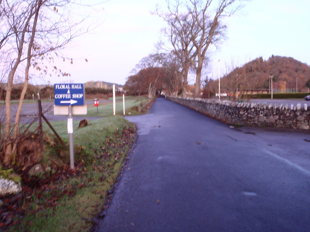 Cruise boat on the Caledonian Canal
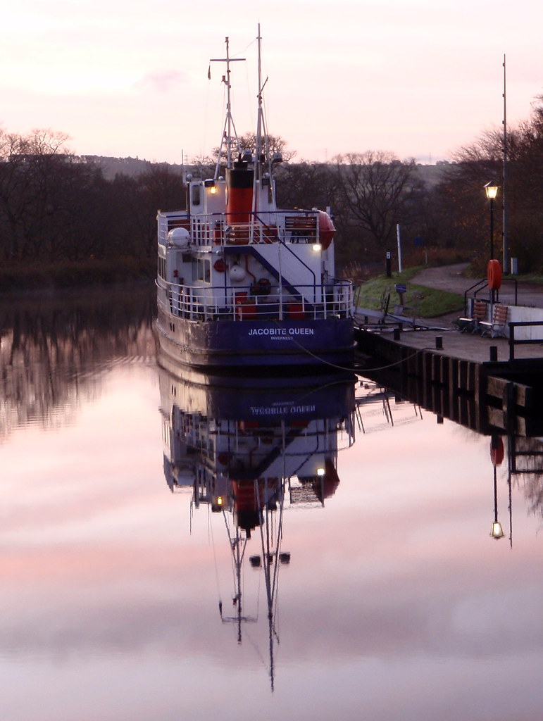 Continue up the path on the West side of the Caledonian Canal
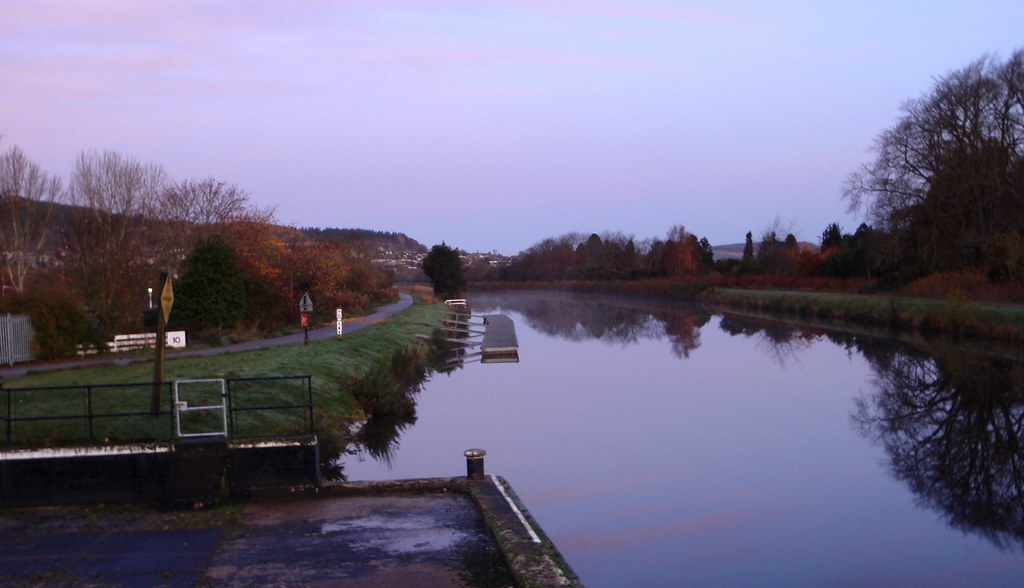 Looking W across the golf course toward Dunain Hill
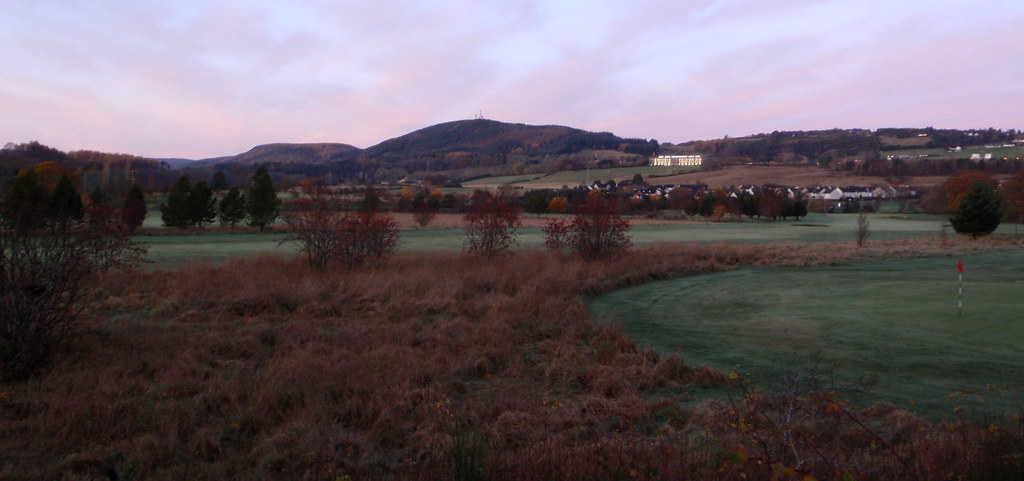 Fore!!!
 Continue ascent toward Craig Dunain
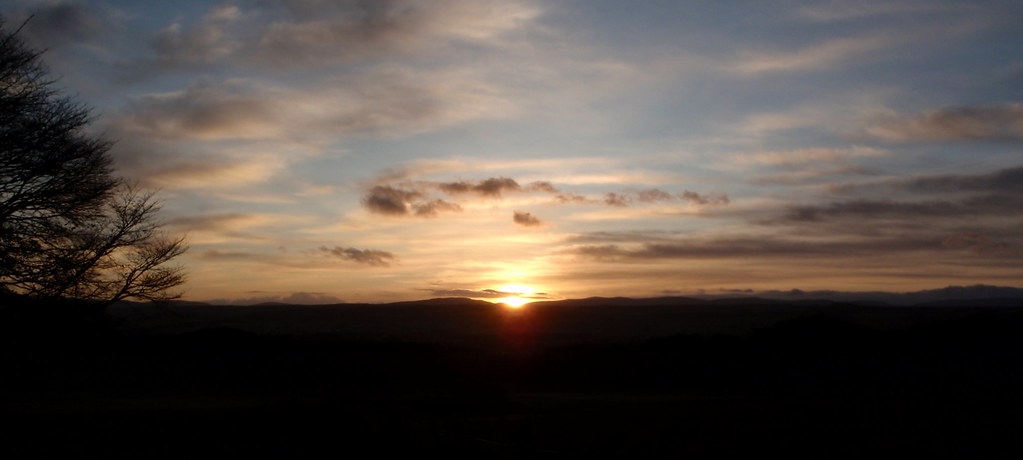
 Sun rising from the South
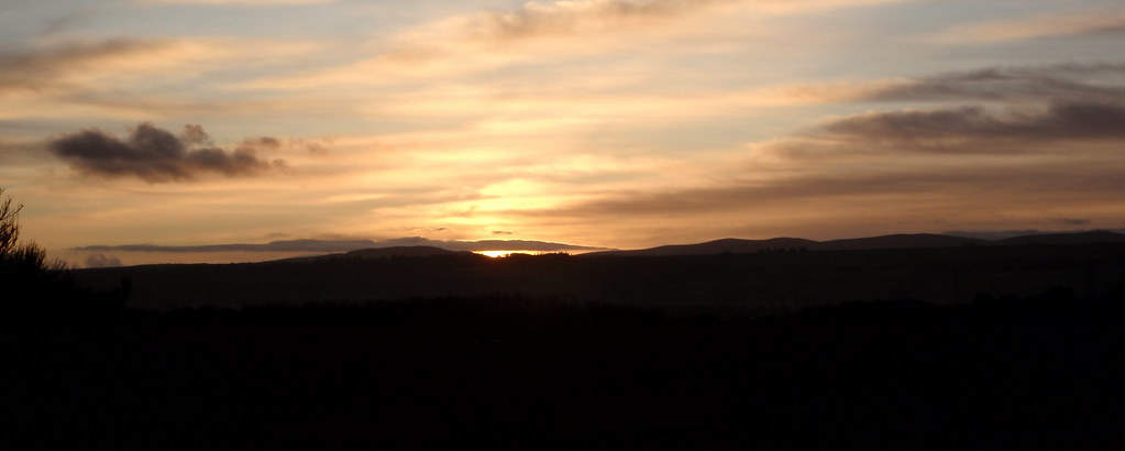
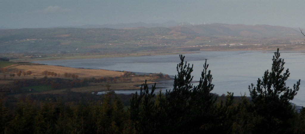
 Looking over Inverness, Kessock Bridge and the Moray Firth
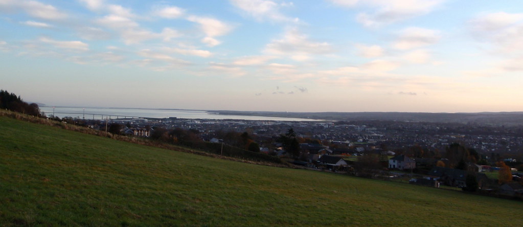 Start of Craig Phadrig walk
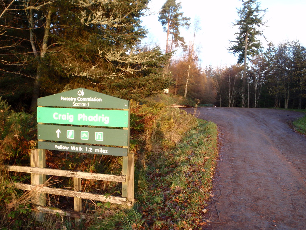 Good tracks all the way
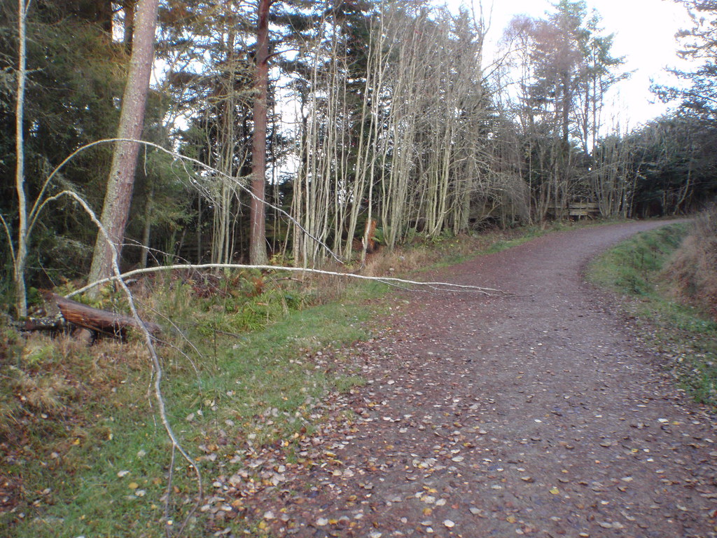 Top of the hill - where the fort once stood. Close to the top there was a 1 man tent pitched behind a tree.
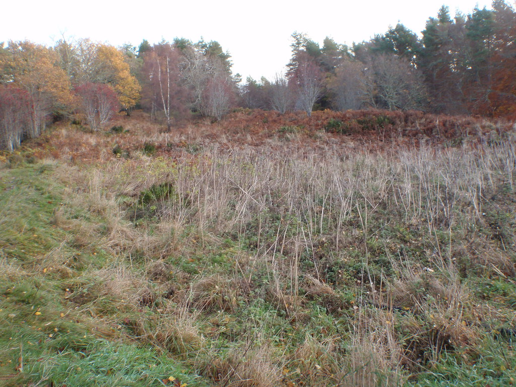 It looked something like this
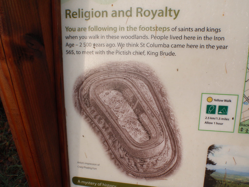 Find the gap in the trees for a view across Beauly toward Ben Wyvis
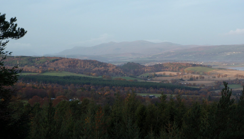
 View toward Dunain Hill (partially hidden on left) from Craig Phadrig. The tree blocking the summit is doing a fine job of blocking the big mobile phone mast up there!!
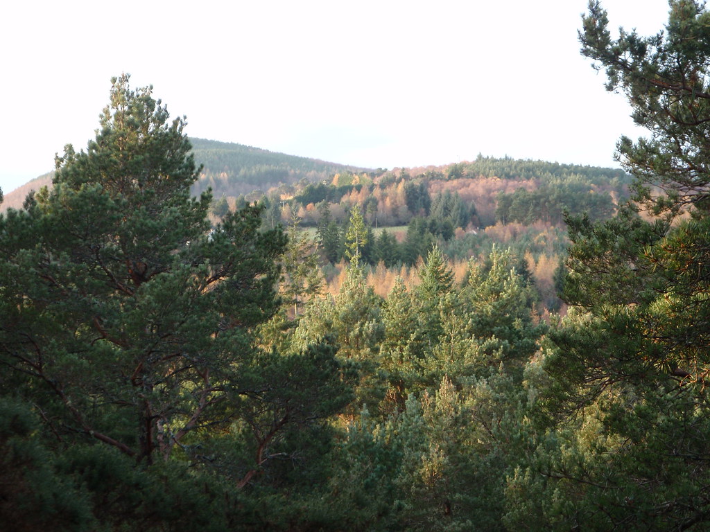 Lunch anyone?
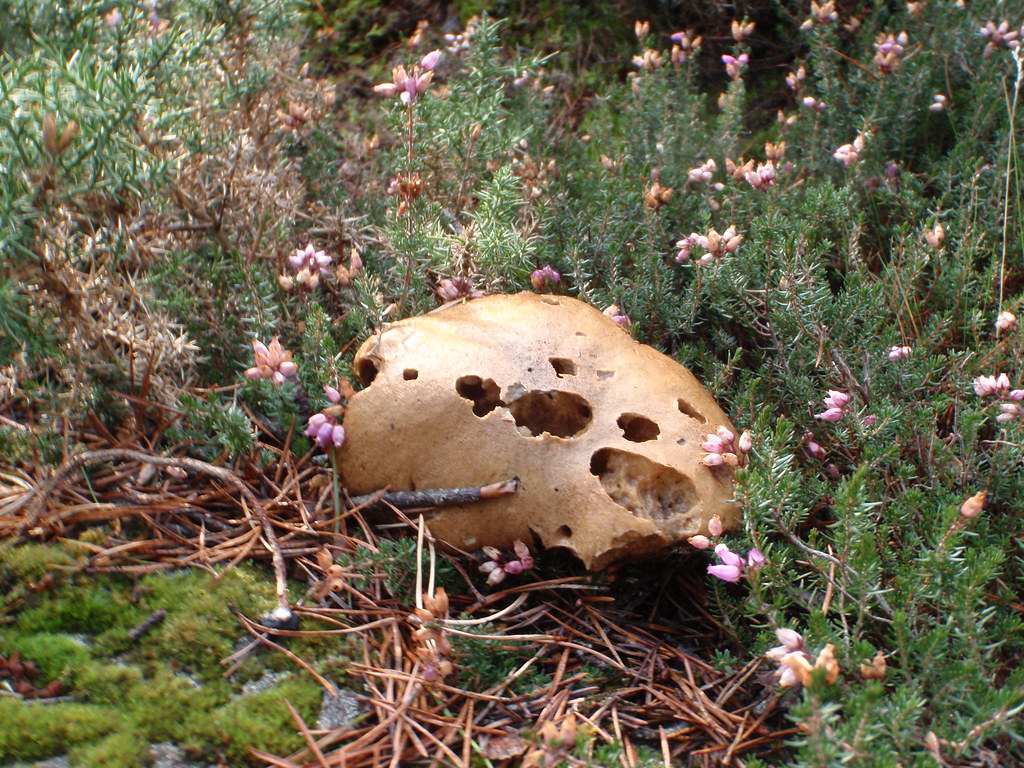 After leaving Craig Phadrig I went West along the road before joining the track NW of Leachkin and following this until meeting the GGW path and across it to Dunain Hill. Plenty of puddles to dodge!
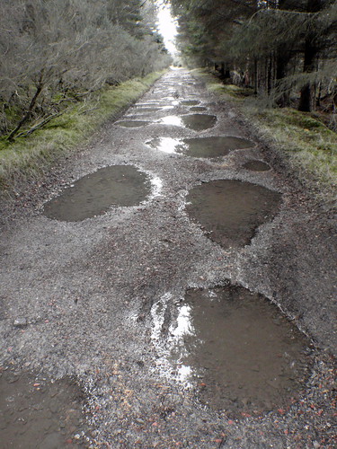 Reservoir
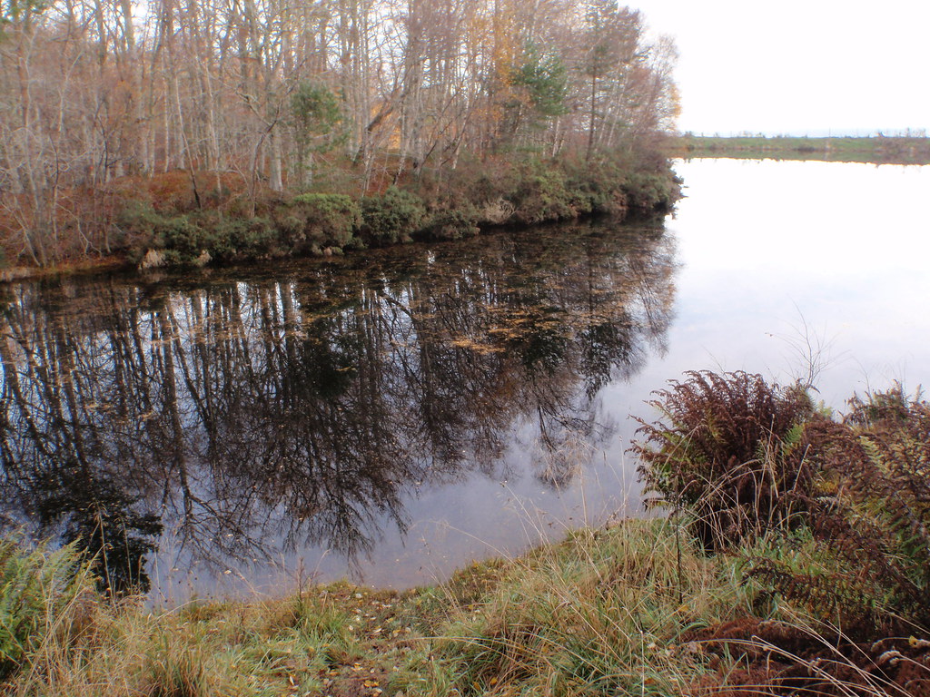
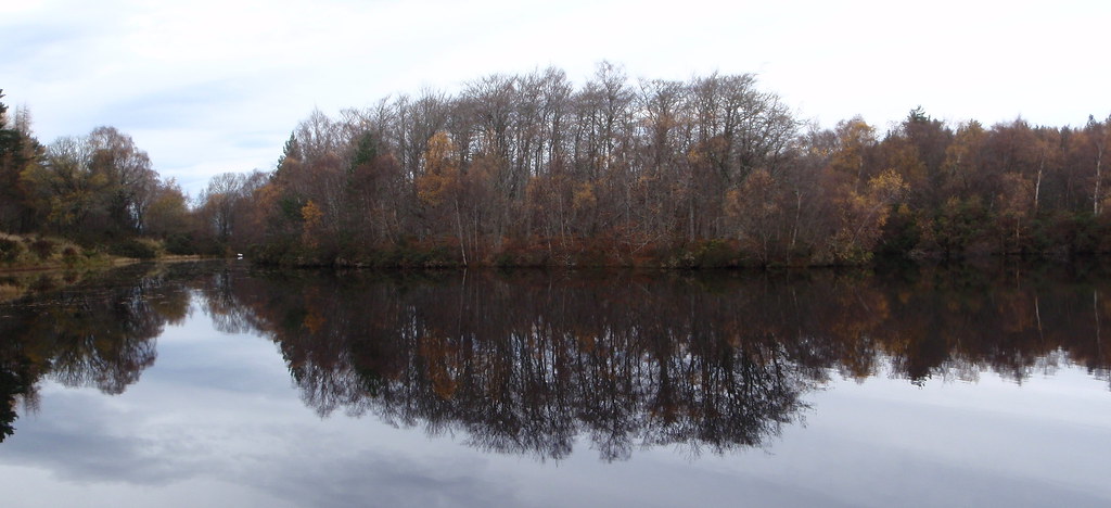 Track contouring round Dunain Hill
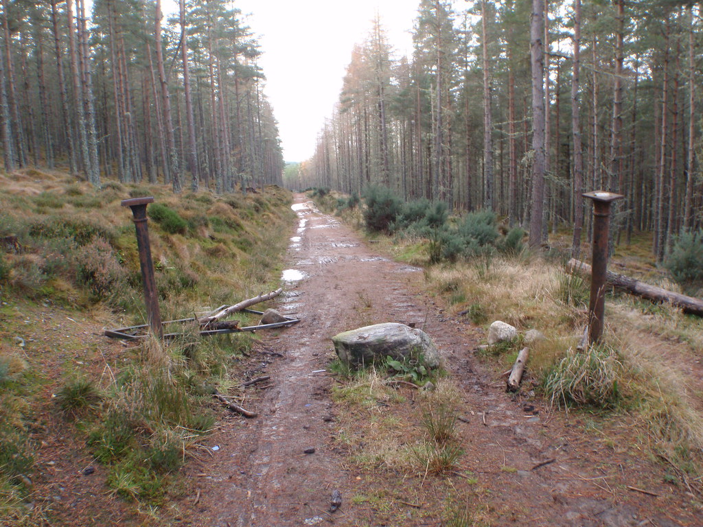
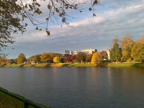
 After the Dunain Hill circuit back at the reservoir. The view over Inverness (Eden Court Theatre is the large yellow building in centre)
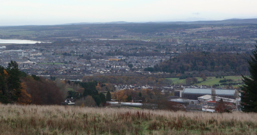 You get a VERY GOOD phone signal in these parts!
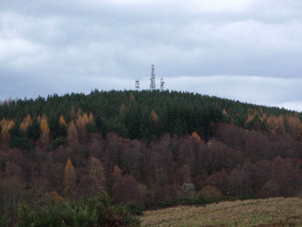 The cloud started to roll in and a brief shower at this point. As I was going down the GGW path, south of Leachkin, I noticed a sign saying "Picnic area & Xylophones". Xylophones? Off I went to check it out (it's only a little bit off the path). Here's something you wont find on the Munros. I've sent off my entry to Britains Got Talent
[youtube]http://www.youtube.com/watch?v=V_23PcGq0GM[/youtube]
Shower over, and bored of the xylophone, I made my way back down the GGW path all the way to the sports centre, picking up the path along the West bank of the River Ness and toward the city centre. River is quite high - and is still like that today, 3 days later.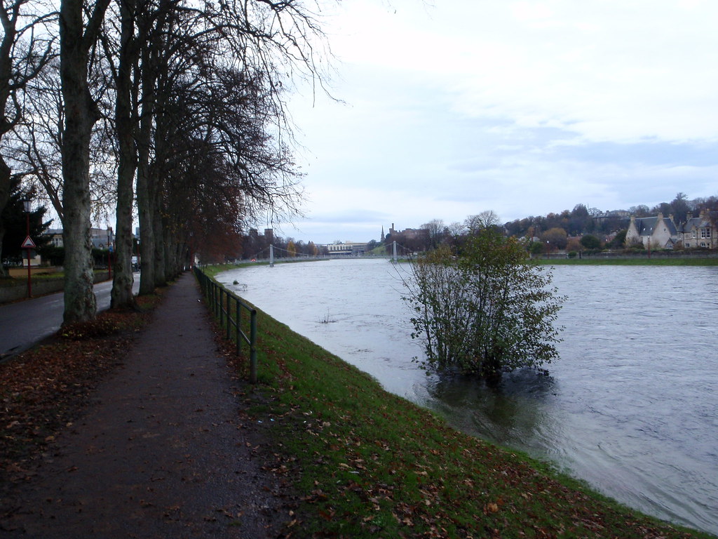 Cross the footbridge, turn left, and after 300m you're back to where you started