free to be able to rate and comment on reports (as well as access 1:25000 mapping).
Sub 2000ft Marilyns: Burgiehill, Hill of the Wangie.
Date: 18/11/2012.
Distance: 104 km.
Ascent: 780m.
Time Taken: 6 hours 30 minutes.
Weather: Cold and sunny.
(The walking was a paltry 3km and 30m of the above).
I doubt I'll ever do all of the Marilyns. Never mind the sea stacks of St. Kilda - there are far too many hills like the ones in this report which aren't worth driving 5 hours for. In order to be worthy of an ascent, any Marilyn needs to fit at least one of the following criteria for me:
-be over 2000ft high (I plan to do all of these)
-make a good walk, look spectacular or have good views
-be on the route of a walk I am doing anyway
-be short and next to a route I am driving, therefore giving an opportunistic bag
-be within cycling distance of home (or somewhere I am staying).
These two only really ticked the last box in my mind, but I knew that getting to them would be a good long day out on the bike, hopefully with some good scenery along the way. Over the last 5 or 6 years, I have enjoyed picking off the more local hills on the bike - much more fun than driving up for a 20 minute walk. A lot of them have fitted in after work, but these two were going to need a full day.
I set off from the house at 11am, a great tail wind helping me past the airport and Ardersier. The sun was out and the views across the Moray Firth were great - plenty of snow on Ben Wyvis and Beinn Tharsuinn. I was soon through Nairn and following the minor roads towards Brodie Castle. I stuck to the cycle route signs as I knew these would take me to Forres, but in retrospect, this was an oddly winding route. Not sure who comes up with these long distance national cycle routes - they seem to be designed to put people off by adding on loads of pointless extra loops!
Brodie Castle:

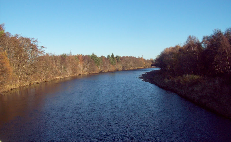
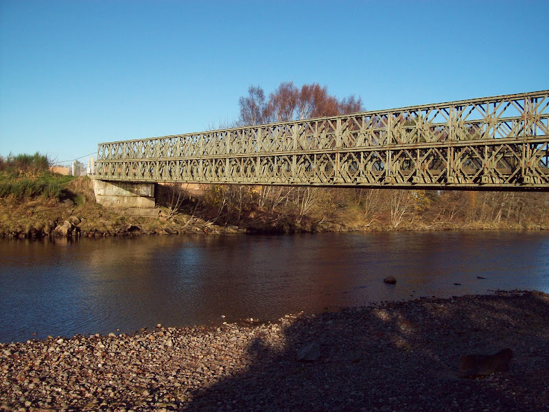
Some of the winding about was worth it to cross the Findhorn at Broom of Moy. There was a footbridge across the river here, then a nice section through the woods to Forres.
River Findhorn at Broom of Moy:
Broom of Moy bridge:
Forres was a pleasant little place, but completely dead on a Sunday afternoon, and after a couple of wrong turns, I managed to find my way out onto the Dallas road. I was soon turning off this for the first big climb of the day, up to Califer.
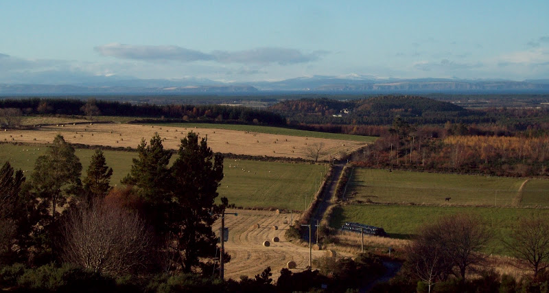
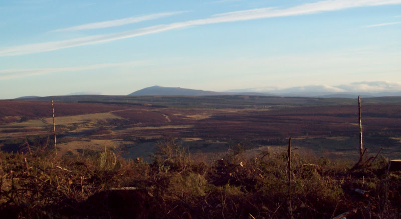
On some of these more forested hills, you have to collect the summit and the views separately, so with this in mind, I pulled into the viewpoint at Califer for a lunch break. Well worth the bother, with Findhorn beneath me and the NE coast stretching away in front. The weather wasn't so great over the hills, but a brief clearing allowed me to see Morven. The indicator suggested that Ben Klibreck, Ben Hee and Ben More Assynt would all be visible in good conditions.
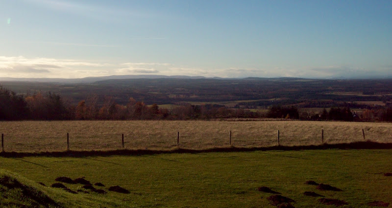
Wyvis, Easter Ross and the mouth of Cromarty Firth from Califer:
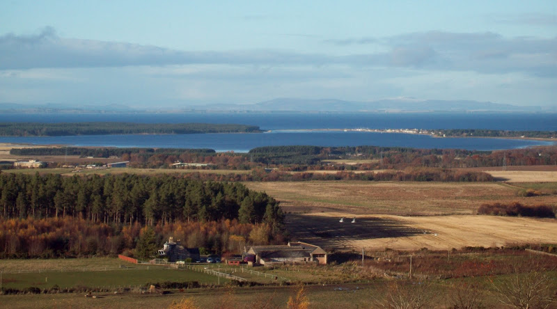
NE coast behind Findhorn Bay:
West to Carn Tri Tighearnan:
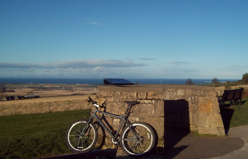
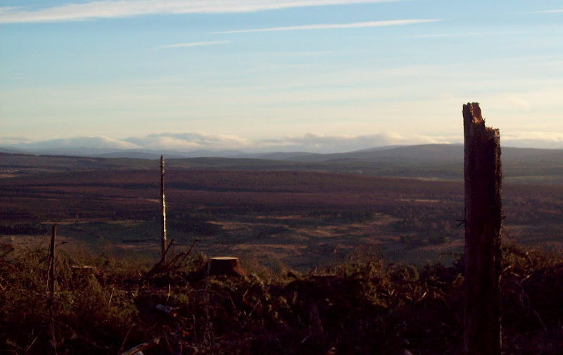
Viewpoint and indicator:
Burgiehill summit wasn't much higher, and a couple of miles more cycling took me to the forestry track that led there. This looked like it led all the way to the mast, but I abandoned the bike slightly early and cut across a felled area to avoid a slight descent and re-ascent. While the felled area allowed views to Ben Rinnes, there wasn't much else going for the summit, and the views from Califer were much superior.
Exciting. The summit of Burgiehill:

Ben Rinnes from Burgiehill:
I dropped back to the public road, then down to Pluscarden. Lots of really nice cycling around here - the minor roads south of the A96 are always really quiet, and feel like some sort of forgotten world.
East to Elgin and possibly the Bin of Cullen beyond:

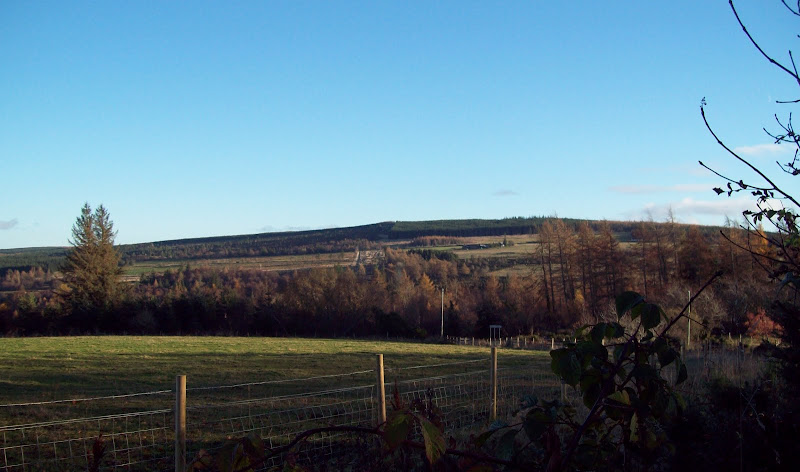
Hill of the Wangie from the descent of Burgiehill:
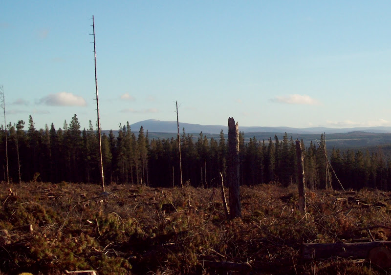
After Pluscarden Abbey, it was time to re-ascend to the Hill of the Wangie. Another forestry track led me close to the summit, after which it was a fight through the trees to try and find the trig point. Before finding it, I stumbled across another felled area, giving great views to the south to Ben Rinnes and the eastern Cairngorms. I stopped for another break - lovely spot in the afternoon sun.
Ben Rinnes from Hill of the Wangie:
Towards the Cairngorms:
Ben Rinnes again:

Cairn Uish windfarm with Little and Meikle Convals beyond:

After a break, time to find the summit. The 1:50,000 map was useless for this. I stumbled across a fence and firebreak that I remembered seeing on the 1:25,000 map, but I couldn't remember where this was in relation to the trig point. A good half hour of blundering around in the woods led me to it. At which point I wondered - if the summit is impossible to find and has no views, why bother visiting it? The felled area was much nicer as it had some scenery at least.
Summit of the Hill of the Wangie. Mainly taken as it took so much effort to find:

Bit of a crash back to the bike, then a quick descent to the tarmac road. I think this hill is probably much better done from the south (as described by HighlandSC and Foggieclimber) than by my route.
There were some nice views and a pleasing descent back towards Forres, where I diverted to avoid going through the town centre a second time. By now it was almost dark, and I was feeling a bit lazy. My wife phoned asking where I was, and when I told her, she asked if I wanted a lift back from Nairn. Having got me at a weak moment, I couldn't really refuse!
Burgiehill from the road to Dallas:

Managing to avoid skidding on a couple of icy bits on the road down to Auldearn, I eventually got to Nairn and was saved the last 13 or so miles. Luckily the wind had dropped a little, as this would have been extremely painful otherwise.
