free to be able to rate and comment on reports (as well as access 1:25000 mapping).
Sub 2000 Marilyns: Sgurr Marcasaidh, Creag Loch nan Dearcag.
Date: 16/12/2012
Distance: 16.5 km
Ascent: 1040m
Time taken: 5 hours
Weather: Sunny spells with inversion.
Last week's high pressure had me planning a Friday off work and an overnighter somewhere in Sutherland, but typically the weather changed as the week went on. Having failed to get that plan off the ground, I was back to looking at walks closer to home. I had been saving these two hills for a half decent day as the area around lower Strathconon is really spectacular, however they make quite a substantial walk (for a couple of sub 2000ers at least), so I'd always been off further afield when the weather was right.
The road down by Loch Achilty hadn't been gritted, and low lying cloud here removed any chance of the road thawing out. The last few miles to the Luichart power station were plastered in black ice, and I went pretty slowly, parking next to the substation on the road up to the dam. There are a couple of ways onto the east end of Sgurr Marcasaidh but I had always fancied walking over the dam and going straight up the other side, which is what I did. I walked up the side of the tarmac to the dam as the road was a skating rink here.
From the Luichart Dam:
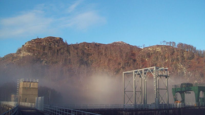
Loch Luichart and Carn Faire nan Con:
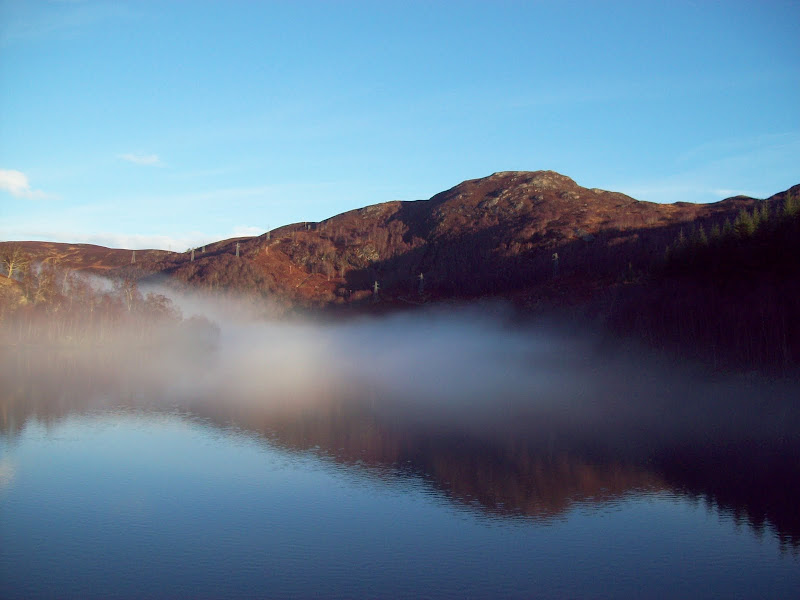
There was a new track on the far side of the dam which appeared to go to the farm at Glenmarksie. I crossed this and hit the hillside - steep but not too rough (could be a nightmare in the summer with the high bracken though).
Rising above the inversion:
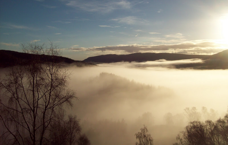

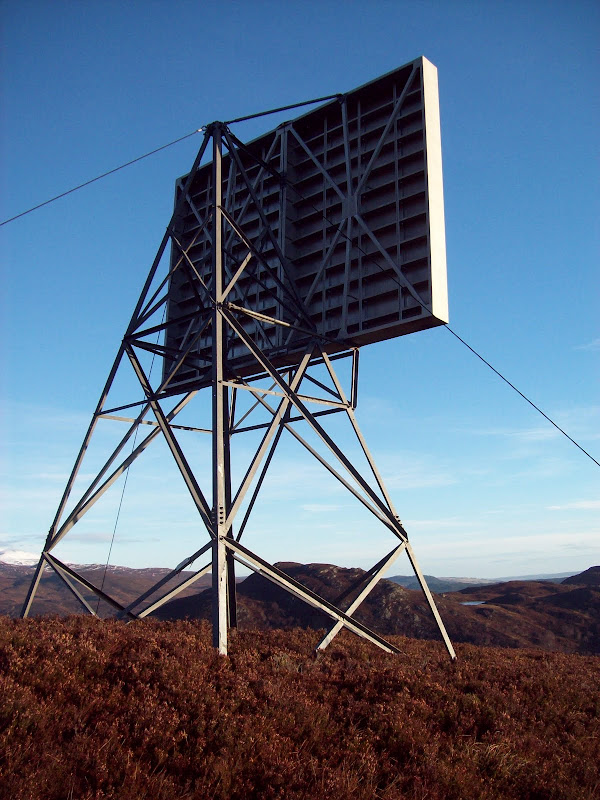
The ridge levels out for a short length and there is a strange pylon arrangement on a minor knoll. I'm assuming some kind of relay station, but it isn't connected up to anything.
Sgurr a Mhuilinn:
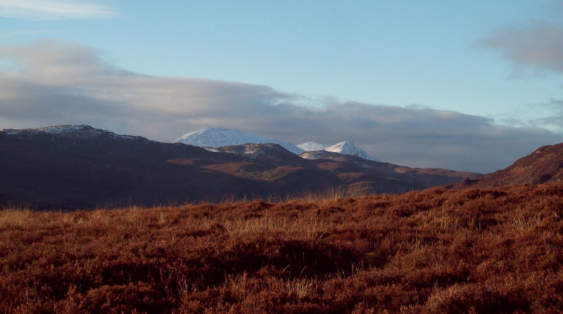
Target practice?
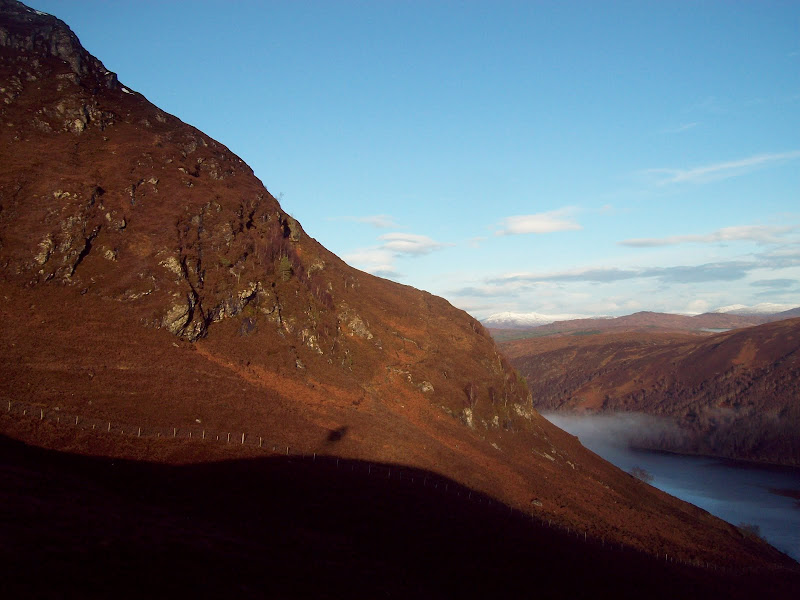
Above here, there is a steeper and rockier section, with a bit of sliding around on greasy slabs leading to the first significant summit - the 506m spot height at the east end of the ridge. Not a bad ascent route, but it looks more interesting from Carn Faire nan Con across the loch.
Upper slopes of Sgurr Marcasaidh:
Little Wyvis and Ben Wyvis:

East down Strathconon:
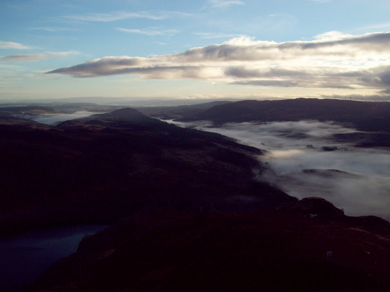
Plenty of good views from the ridge, although Torridon was suffering from low cloud. The Fannaichs and Beinn Dearg were looking good, and judging by the ground under my feet they might finally have some consolidated snow on them

. There was little in the way of snow on my route, but the ground was nicely iced up, making walking on the ridge easy. Not sure if it is always this straightforward as there are plenty of bogs and hags around.
Wyvises from the east-most summit:

Across Strathbran to Beinn Dearg and Cona Meall:

Ben Wyvis:
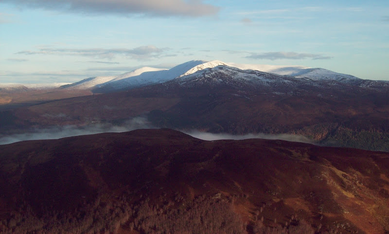

East to the Black Isle and the Moray coast:

On the summit, there were good views of the Fannaichs, Fionn Beinn and the Meallan nan Uan/Sgurr a Mhuilinn group. Still some cloud hanging around in the valleys to add some atmosphere too. Had a nice break a little way NW of the trig point.
Meallan nan Uan and Sgurr a Mhuilinn:

Fionn Bheinn:
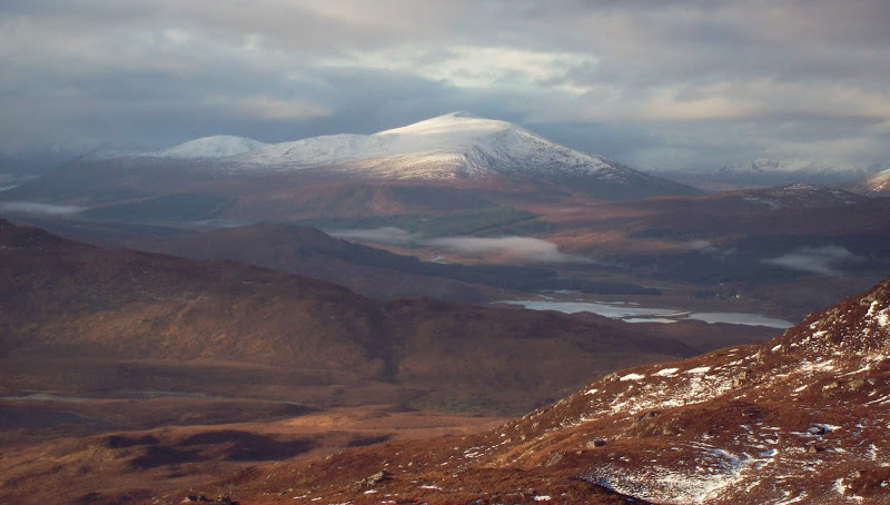
Fannaichs:

Loch a Bhealaich:
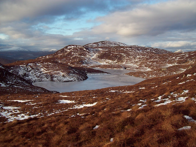
An Coileachan:
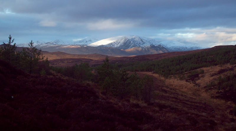
I descended rough heathery ground south of Loch a Bhealaich and crossed the track up Gleann Marcasaidh, which goes much further than the map shows. The next section was rougher still, as an area has been fenced off and planted since my map was published. I had looked at this online at home to try and pick the best way through, but in the end it was easiest to just find a line on the ground. I had to climb a couple of deer fences, and the heather inside the area was even thicker than anywhere else, but the trees were fairly spread out at least.
Once out the other side I followed a faint rib SE onto Creag Loch nan Dearcag. I thought this would have inferior views to Sgurr Marcasaidh, but in the event, the view up Strathconon was one of the best of the day. The sky was more overcast now, but the weather was still better than I had expected. Time for another break!
West up Strathconon:
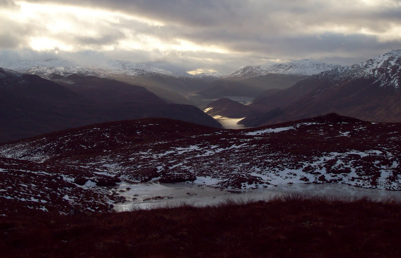

Strathconon, Meallan nan Uan and Sgurr a Mhuilinn:

Fannaichs again:
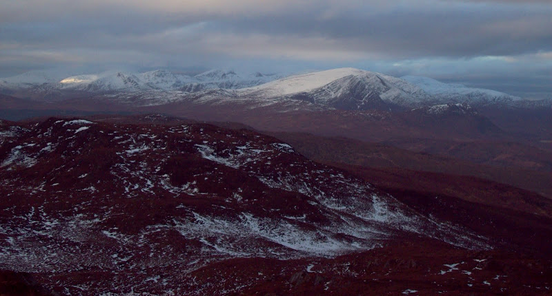
Back to the summer gear!

I had always fancied walking along the ridge above Loch Meig, but had a feeling that it would be hard going. Again, the frozen bogs were much easier to walk along than normal, so it turned out well. My plan B (to drop down onto the track in Gleann Marcasaidh) was never required, and I was soon at the eastern extremity of the ridge overlooking the Luichart dam. It was a shame that the best light had gone as it was an impressive sopt.
East from Creag Loch nan Dearcag:

Loch Meig:

Meall nan Damh to Carn na Coinnich:
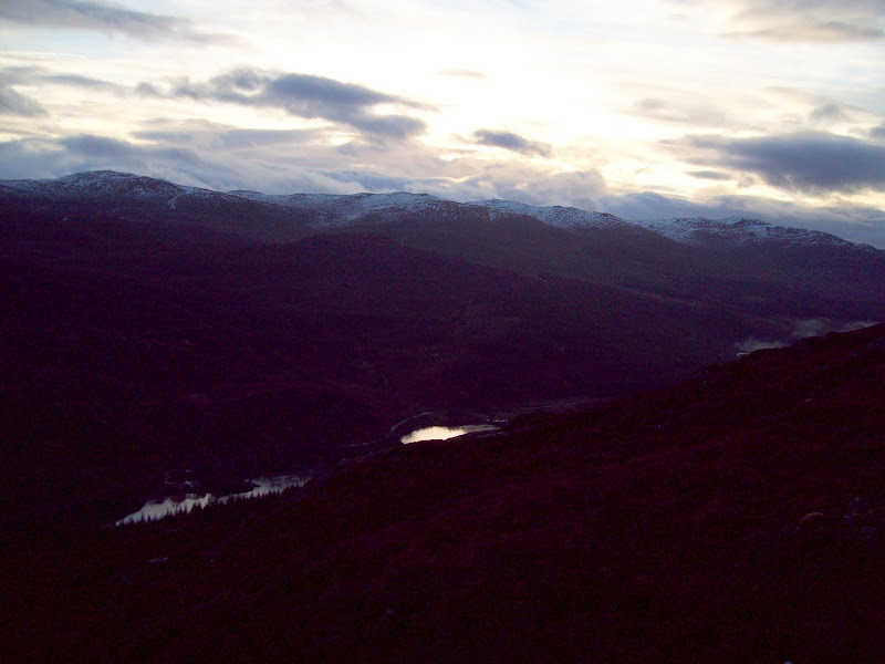
Luichart dam and Carn Faire nan Con from Torr a Bhealaidh:

East end of Sgurr Marcasaidh:

It was a fairly steep drop back into Strathconon, but I was able to follow the edge of a wood, then deer tracks all the way to the road. The walk back along the road was the most dangerous part of the day as it was still iced up (easy in microspikes I'm sure). Still, with less leaves on the trees I was able to get a view into the bottom of the Meig gorge, which I had tried to see into before without success.
Road up Strathconon:
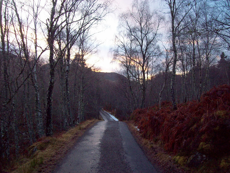
River Meig gorge:

Another great walk on the lower hills, and some of the best scenery within a half hour drive of Inverness.