free to be able to rate and comment on reports (as well as access 1:25000 mapping).
Sub 2000 Marilyns: Bidein Bad na h-Iolaire
Date: 21/06/2013.
Distance: 9 km
Ascent: 725m
Time taken: 2 hours 45 minutes.
Weather: Warm and sunny
It was time for my family's annual holiday to Scotland. I usually try and join them for a few days each year. This time they were in a caravan in Onich. Gill and I were going to go down for a night and do some cycling in Ardgour, but in the end she couldn't make it. This opened the door for some walking opportunities

. I booked Friday afternoon and Monday off work and was on the bus down to Fort William shortly after lunch.
On the way down I had a plan to carry on down to Corran, catch the ferry to Ardgour and nip up Druim na Sgriodan. However once I worked out the times, I realised that there was no way this would fit in before going for a meal out. I quickly scaled back and went for Bidein Bad na h-Iolaire instead. A quick phonecall to dad to let him know I would now be finishing in Fort William. Turned out he was just about to wander up Cow Hill with my sister, so I let him know I might bump into them.
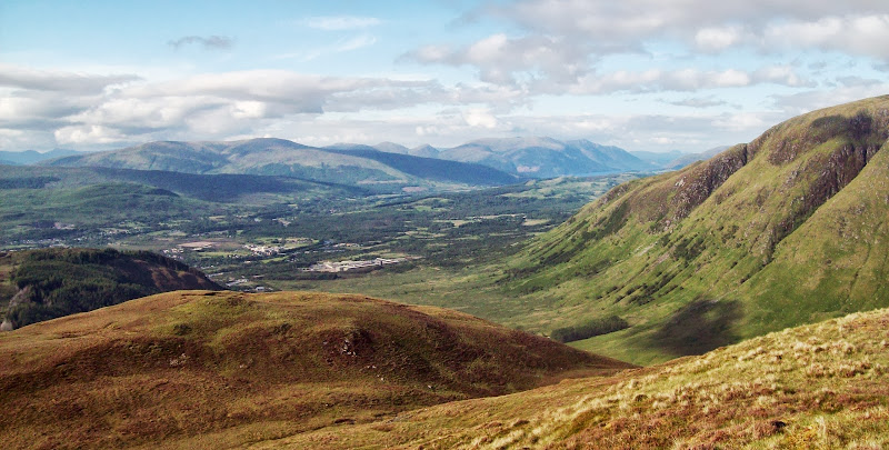
Setting off from the bus station at 4:50 pm, I decided to take a direct route up the flank of Cow Hill that overlooks Fort William. I went up Alma Road for a short distance before finding a path heading into the woods. There is a network of paths contouring around the flanks of Cow Hill, but they don't lead to the top. I remedied this by jumping over a couple of fences and clinbing through some steep woodland. The radio mast and local highpoint followed shortly after. Good views up and down Loch Linnhe for such a small effort

Fort William:
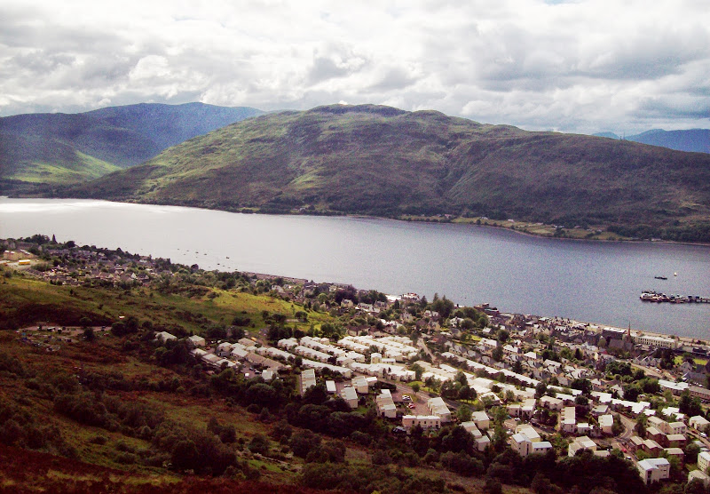
Caol:
Loch Linnhe:

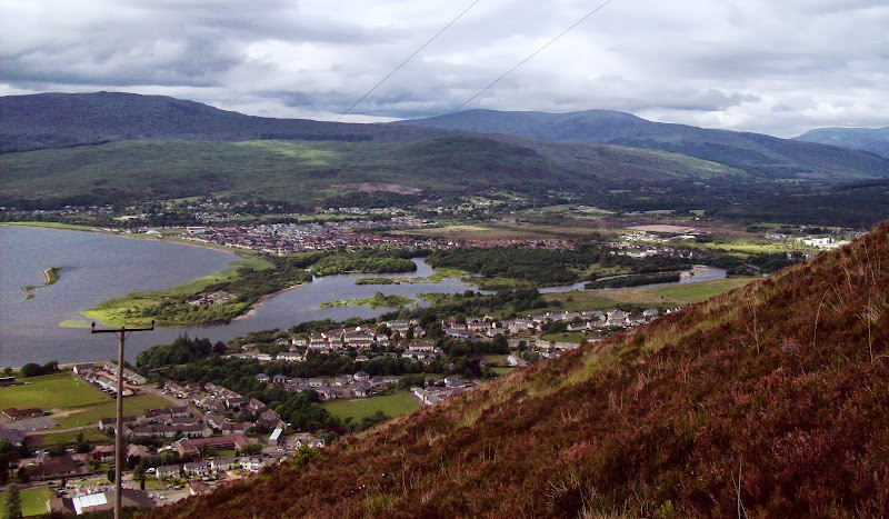
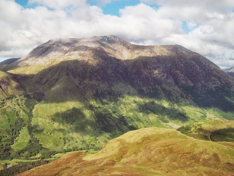
The true summit is further south, just off the transmitter track. I spied a couple of people disappearing over the brow of the hill on the track - I had an idea this might be dad and Laura so I ran along to catch them up (missing the summit out in the process). It was them. They were just about to drop down the peat road into Glen Nevis, so I walked with them for a few minutes before heading up the N ridge of Bidein Bad na h-Iolaire. There was the trace of a path, but some thick heather lower down. Going got easier as I got higher, but the ridge was quite uneven - lots of slips and faults in the bedrock.
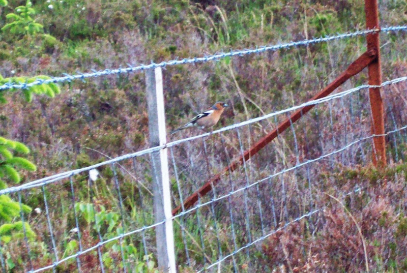
Chaffinch - not too shy but still didn't want to get close enough for my rubbish camera!
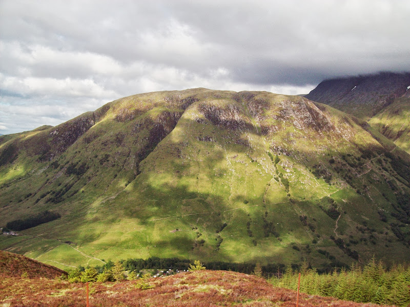
The views opened out rather nicely. Not long range ones, but a good study of the less interesting side of Ben Nevis and great views of the Mamores. In the unobstructed directions, I could see down to Beinn a; Bheithir and Mull. There was a profusion of red-and-white tape on bamboo canes leading down to the WHW, suggesting that this hill has a fell race on it. Despite that, it is probably the least visited summit surrounding Glen Nevis. Go there if you have a free evening in the glen!
Meall an t-Suidhe:
The Ben - soon to clear:

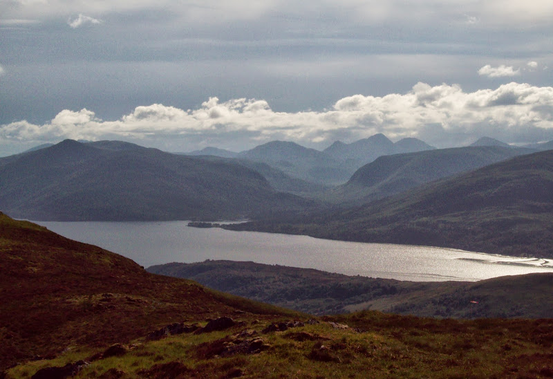
North up the Great Glen:
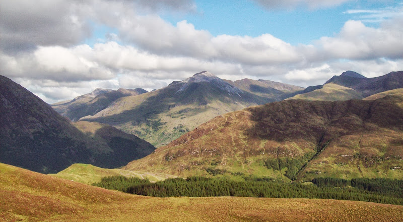
Binnein Mor to Sgurr a Mhaim:
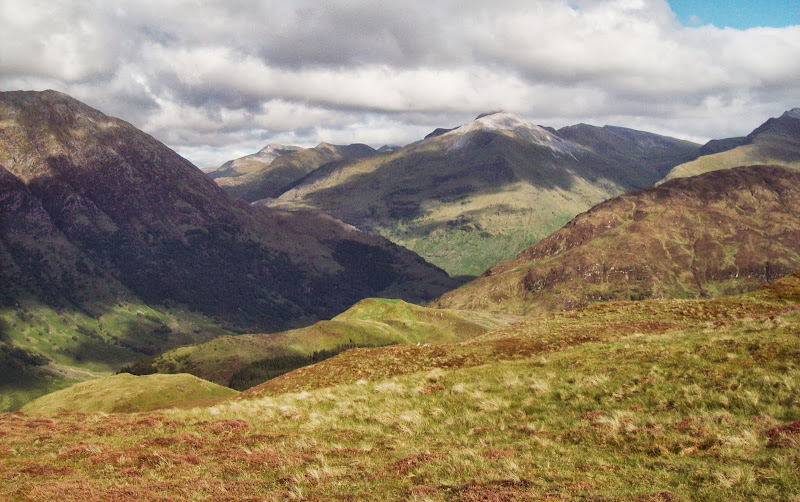
Bheinn a Bheithir:

Sgurr Dhomhnuill and Ardgour:
Mamores again:

...this time including Stob Ban:
Ben Nevis finally clear:
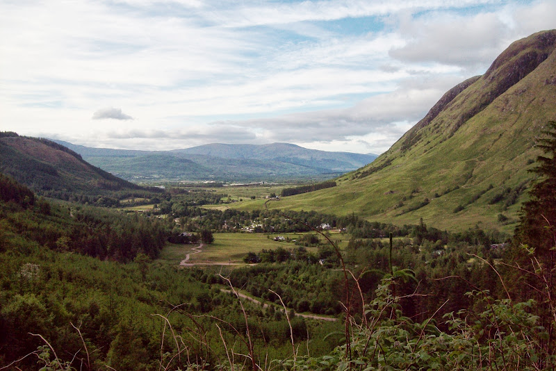
I fancied a circular route of sorts, so I dropped steeply down to the WHW and followed it back towards Fort William. This part has good views into Glen Nevis, but is spoiled somewhat by the amount of intensive felling and track building that has gone on around the descent into the glen (this was a bit of a theme in the places I visited over the next few days. Conifer plantations in Lochaber must all be approaching the perfect harvesting age just now).
Glen Nevis:
Further down, I got a call from dad asking where I was. I think he wanted to escape shopping duties, so he drove up to the Glen Nevis visitor centre and picked me up there. We all headed round to the
Holly Tree in Kentallen for some seafood - much recommended (in fact we were back there the next day for a pint). A good start to what turned out to be a brilliant long weekend, dodging an atrocious weather forecast to find sunshine every day somewhere
