free to be able to rate and comment on reports (as well as access 1:25000 mapping).
Despite planning on making this my biggest year yet for hillwalking, as I reached August I was disappointed to have climbed only four Munros so far. I climb the Corbetts and Grahams in equal measure, or sometimes more often, as I'm running out of straightforward Munros to climb in bus/train day trips from Glasgow! So it was with some relief that a friend of mine suggested driving to Arrochar, where we could climb Beinn Ime and potentialy the Corbett of Beinn Luibhean. In the end, the weather was so foul on the final third of Beinn Ime that we reached the summit and decided to turn for home. Somewhat ironically, the weather cleared up for a few minutes on the summit, giving us the best views of the day on my first 1000m summit of the year.

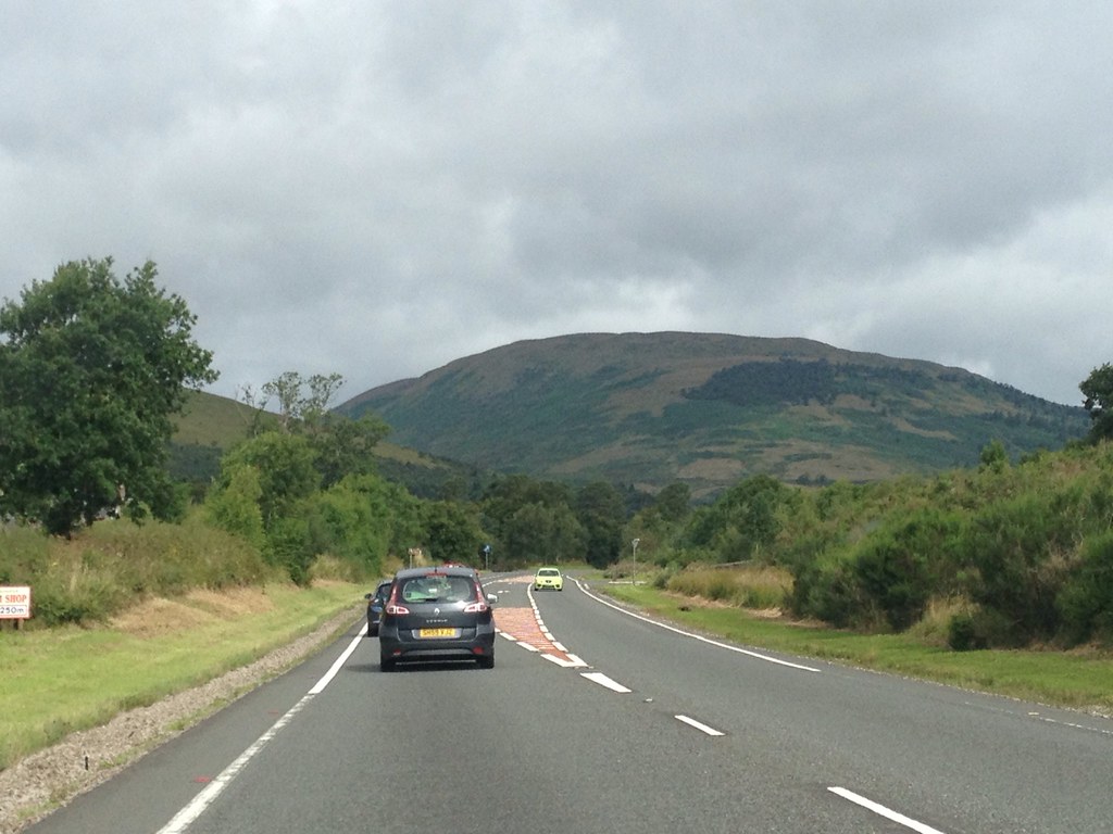 Ime(1)1092025_10153150952030014_108589436_o
 by
Craiging619, on Flickr
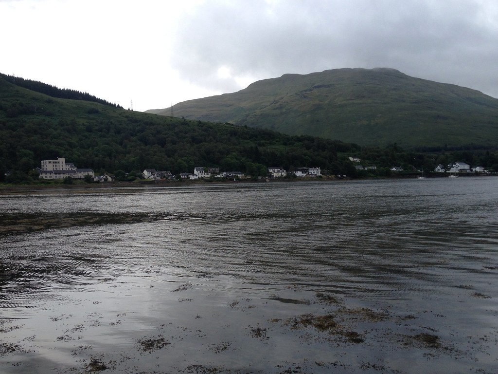
The Luss Hills from the A82, heralding our return to the Highlands.

 Ime(2)1092340_10153150946395014_420084554_o
 by
Craiging619, on Flickr
 Ime(3)1093076_10153150935290014_519739230_o
 by
Craiging619, on Flickr
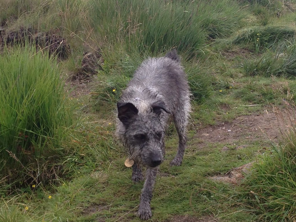
A rather wet-looking dog descending (with its owners) near the Narnain Boulders.
 Ime(4)1148222_10153150926310014_1341730737_o
 by
Craiging619, on Flickr
A brief opening of blue sky near the Bealach a'Mhaim.
 Ime(5)1091341_10153150920515014_1010156317_o
 by
Craiging619, on Flickr
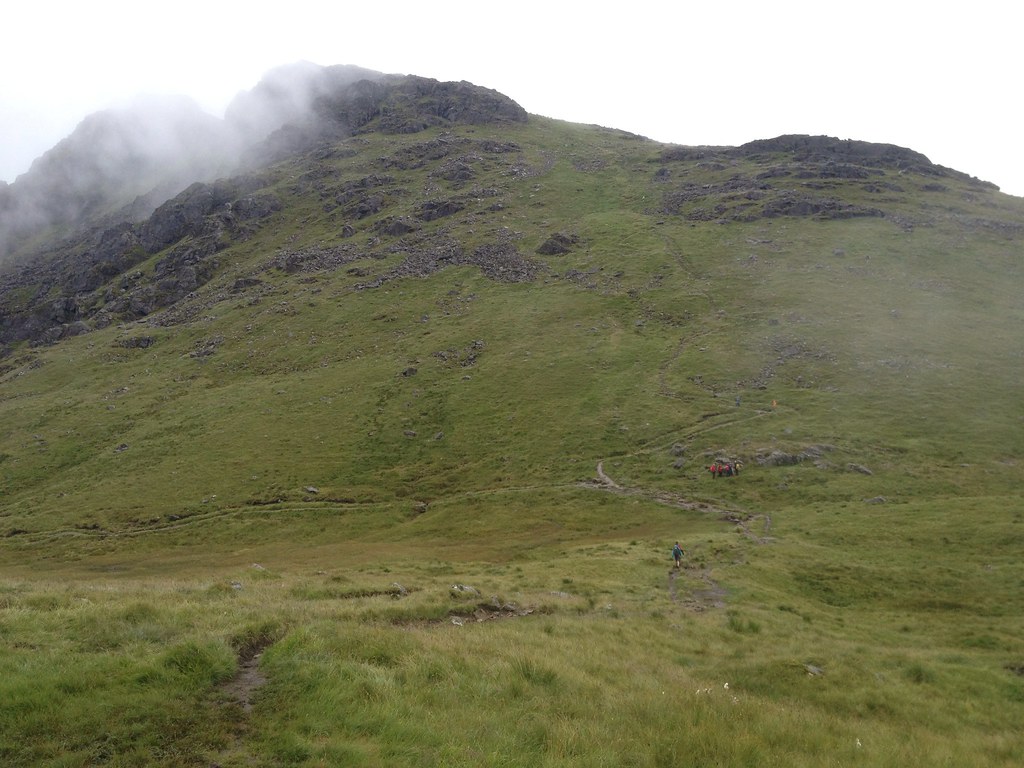
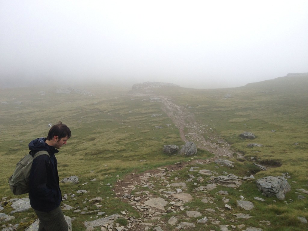
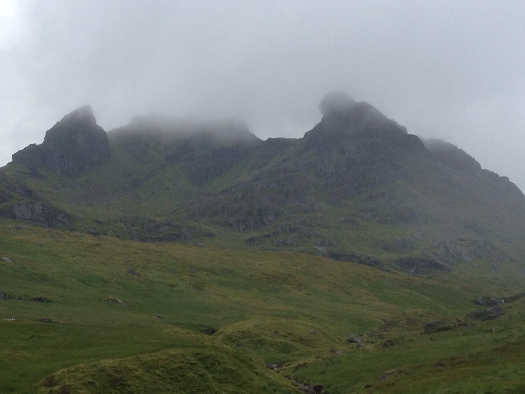
A group of walkers huddled under the stone staircase to The Cobbler, but we headed right then left on a deteriorating path towards the gate and Beinn Ime.
 Ime(6)1091695_10153150915125014_1813466867_o
 by
Craiging619, on Flickr
 Ime(7)1091501_10153150913415014_685509072_o
 by
Craiging619, on Flickr
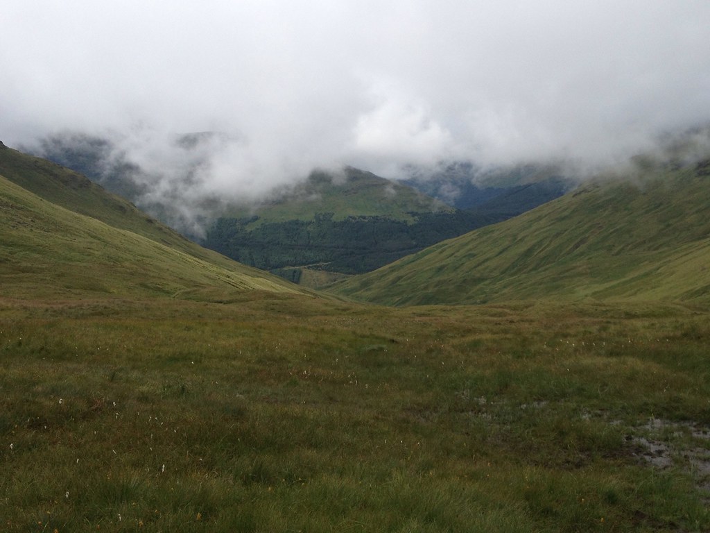
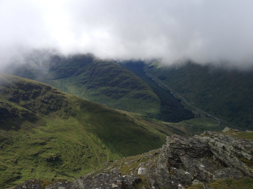
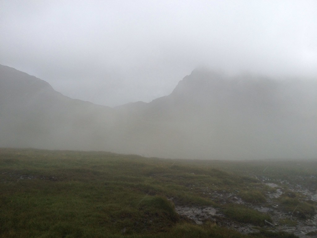
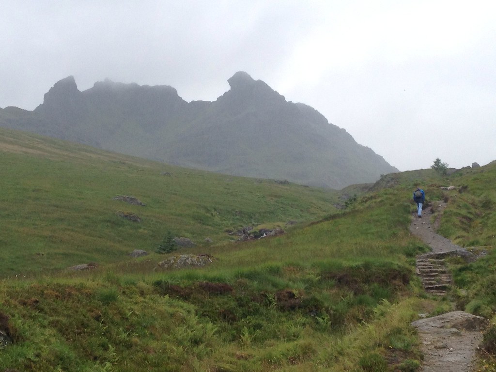
Beinn Luibhean was hidden by cloud sweeping over the col.
 Ime(8)1171396_10153150907705014_180522677_o
 by
Craiging619, on Flickr
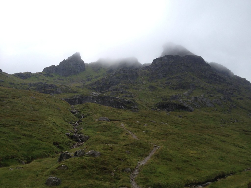
The dark clouds over The Cobbler signified a worsening in conditions.
 Ime(9)1083719_10153150905615014_1240940636_o
 by
Craiging619, on Flickr
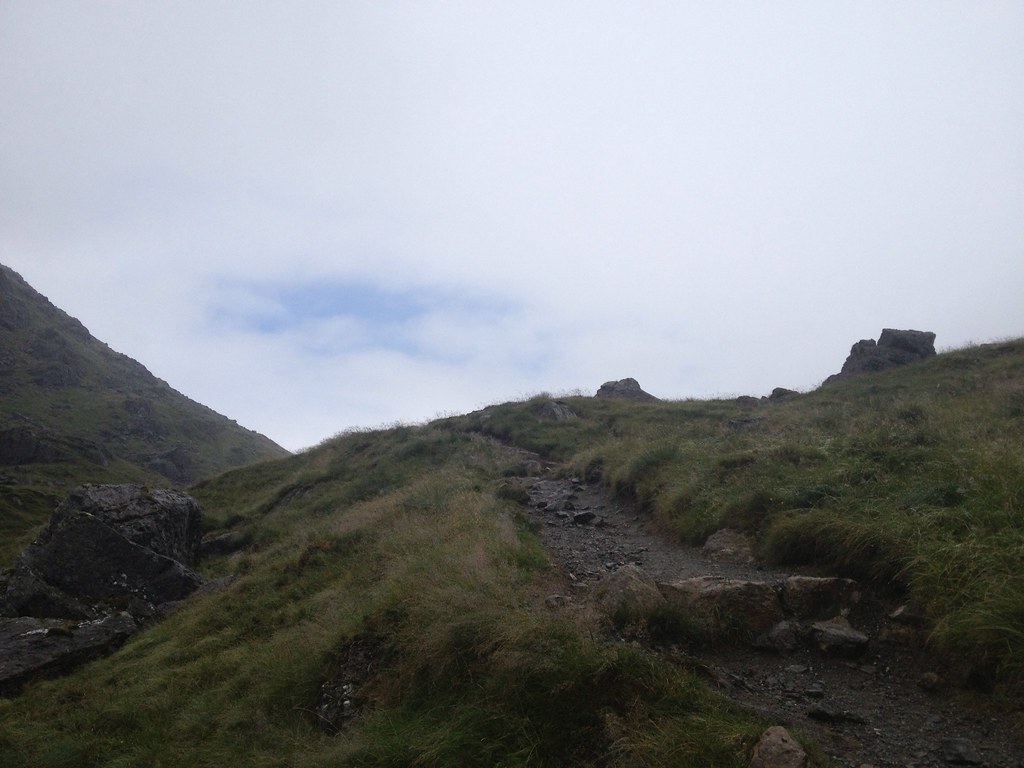
The path seemed to break into wide intermittent swamps at one point, not helped by the persistent rainfall.
 Ime(10)1020117_10153150887800014_1778740552_o
 by
Craiging619, on Flickr
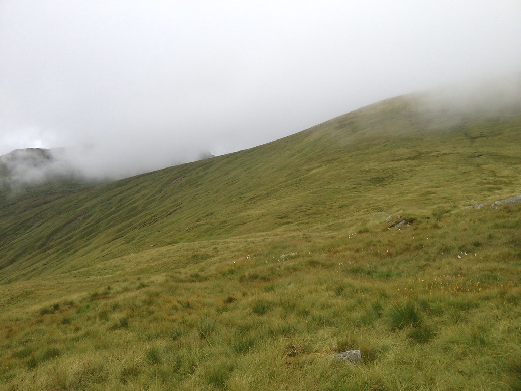
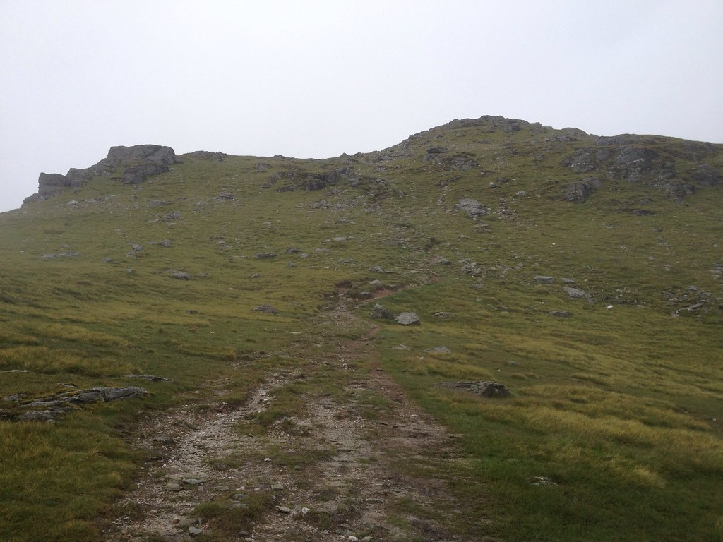
Thankfully things weren't too steep, and we made it up to the large false summit visible for many miles around (and from Glasgow on a clear day).
 Ime(11)1093432_10153150885950014_1965059023_o
 by
Craiging619, on Flickr
 Ime(12)1020862_10153150885260014_1053690740_o
 by
Craiging619, on Flickr
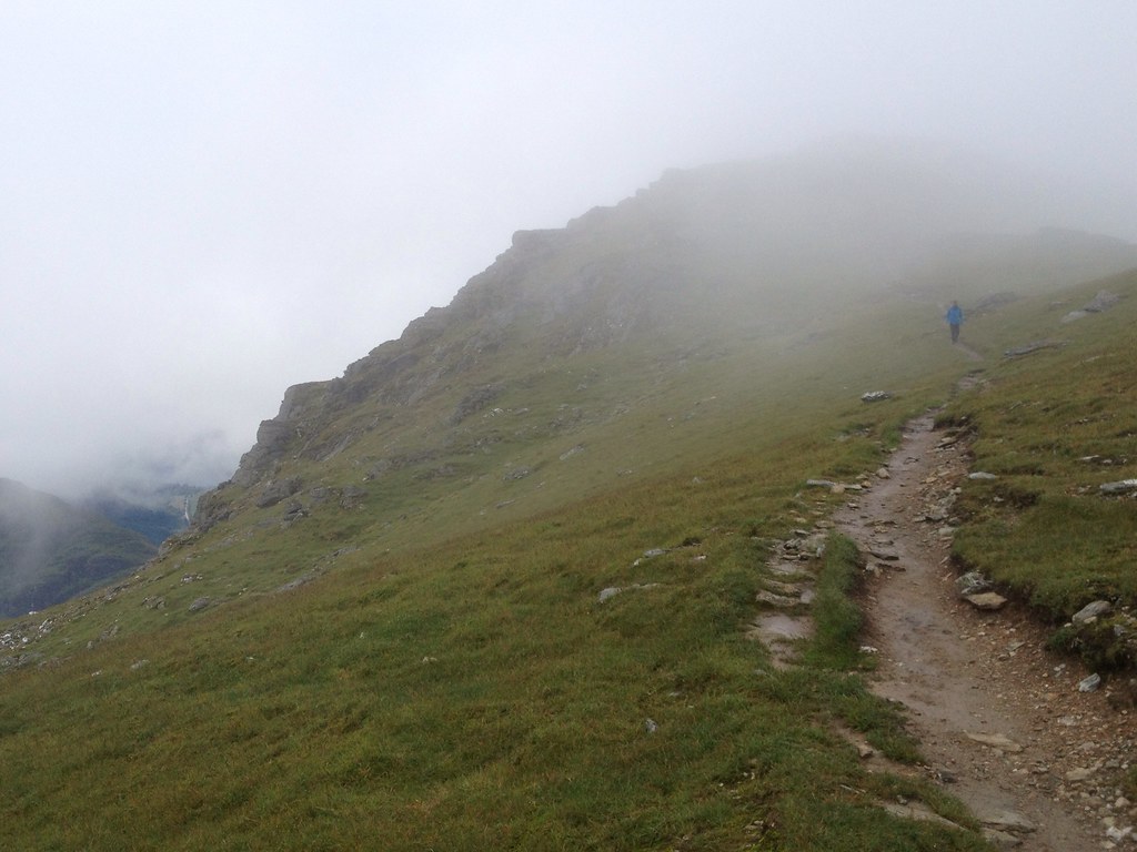
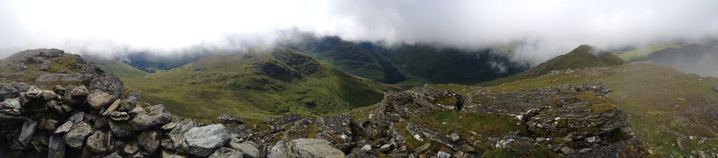
An example of how much the weather can change in 10 seconds or so!
 Ime(13)888614_10153150883990014_1361770938_o
 by
Craiging619, on Flickr
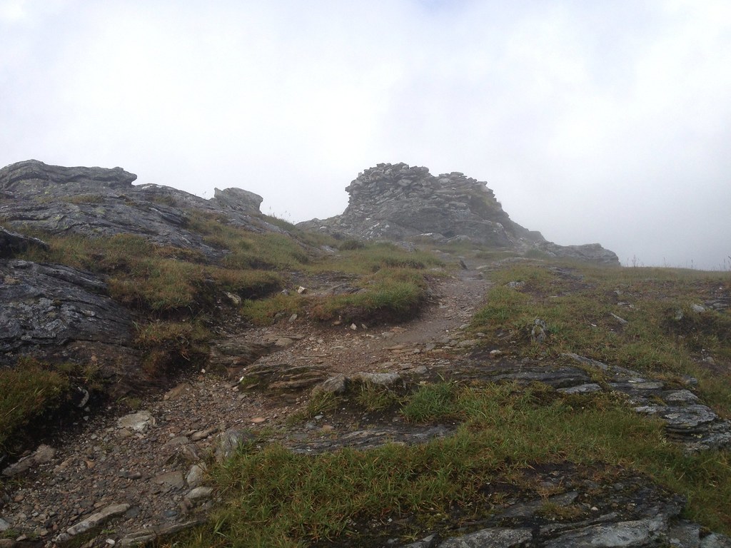
After about 3 1/4 hours, the huge summit cairn and shelter appeared. Back over 1000m at last!

 Ime(14)1093600_10153150449945014_695867372_o
 by
Craiging619, on Flickr
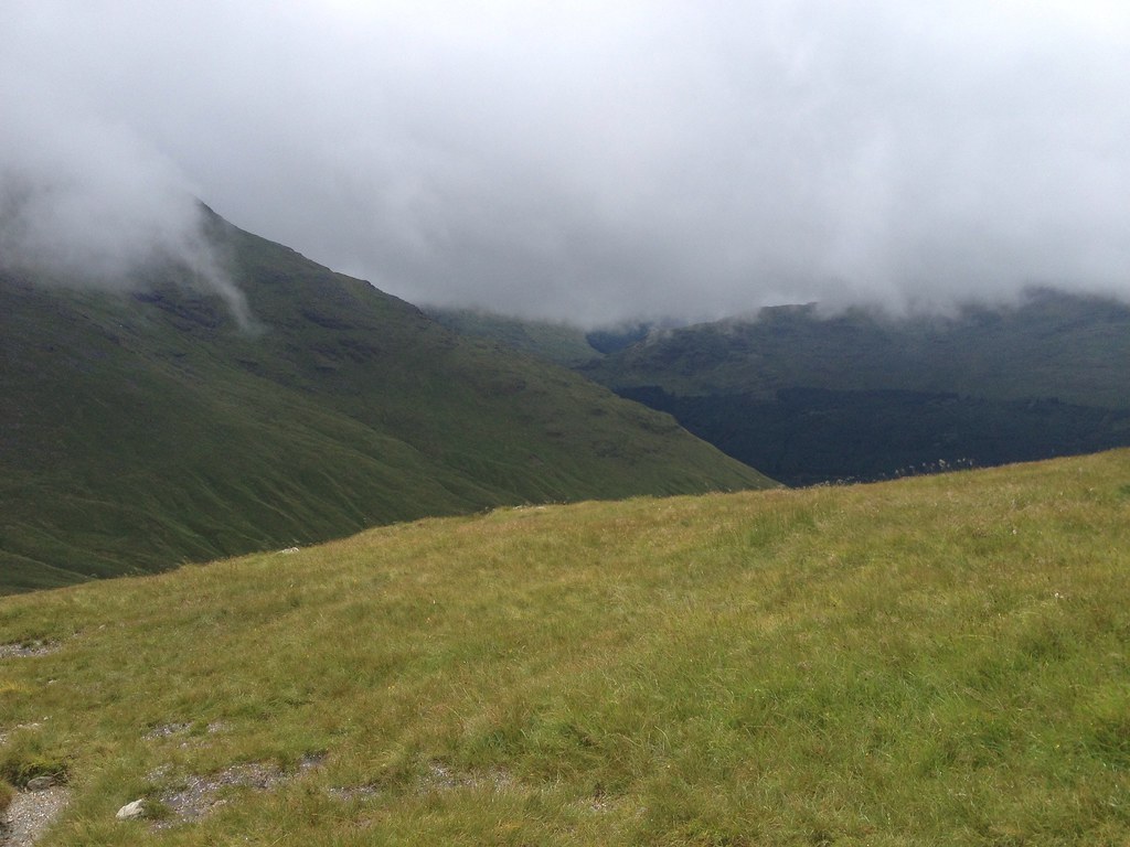
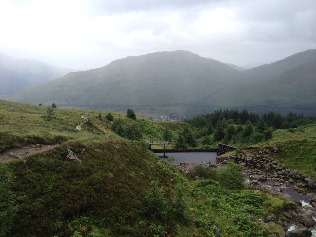
Butterbridge was visible as the clouds suddenly lifted with unusually good timing.
 Ime(15)1083850_10153150449430014_589226119_o
 by
Craiging619, on Flickr
 Ime(16)1145808_10153150134540014_1633652930_o
 by
Craiging619, on Flickr
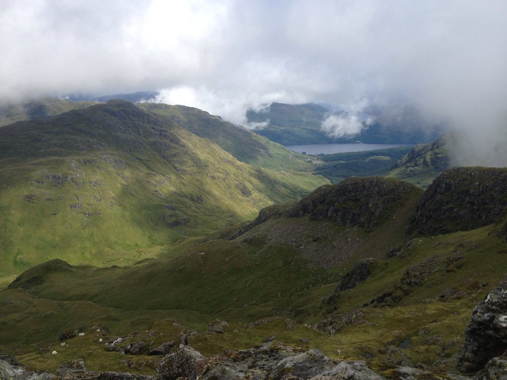
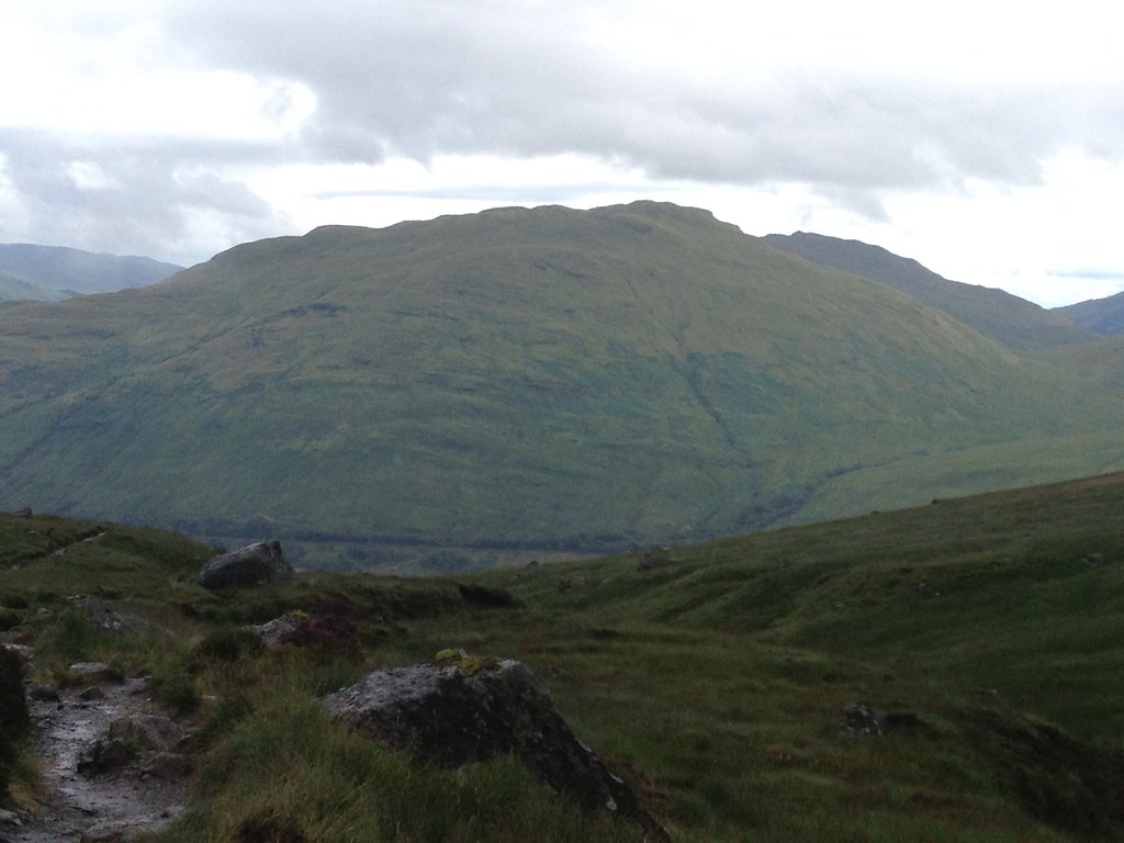
A great view opened up to the rugged Ben Vane and Loch Lomond.
 Ime(17)1090655_10153150133475014_1340991756_o
 by
Craiging619, on Flickr
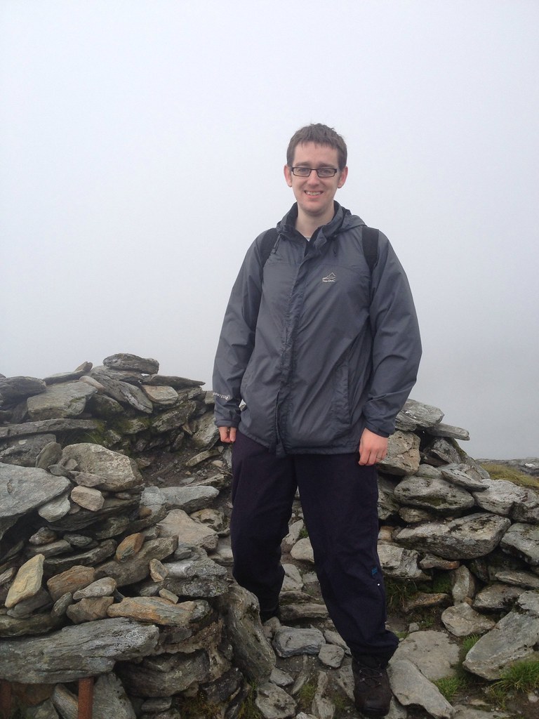
Me at the top. We bumped into a couple I knew from Uni, who looked equally surprised to see us. I've never met anyone I know on the hills, and given the size and emptiness of the Scottish Highlands, I never expected to!
 Ime(18)1145484_10153150131345014_65665772_o
 by
Craiging619, on Flickr
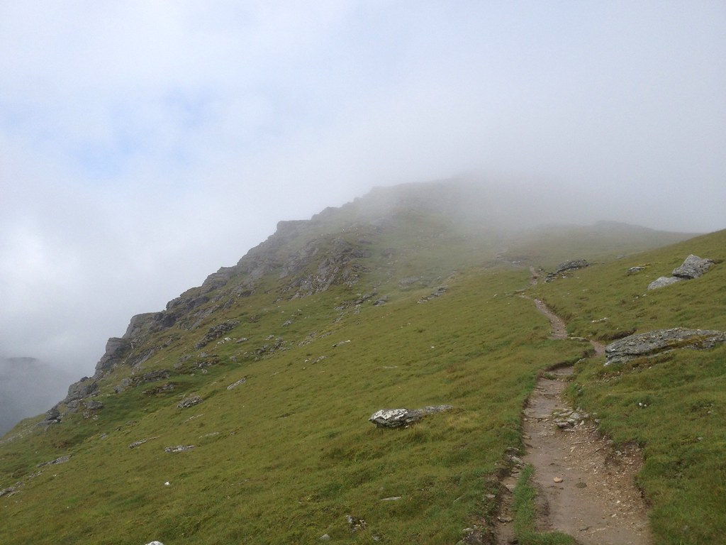
Conditions were equally rotten on the return to the bealach, but at least Beinn Ime is never too steep (the steepest section appeared to the zigzags at the start).
 Ime(19)1083610_10153150129635014_2116214286_o
 by
Craiging619, on Flickr
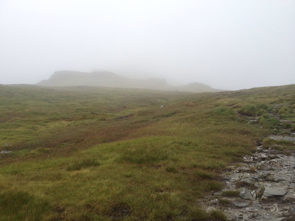
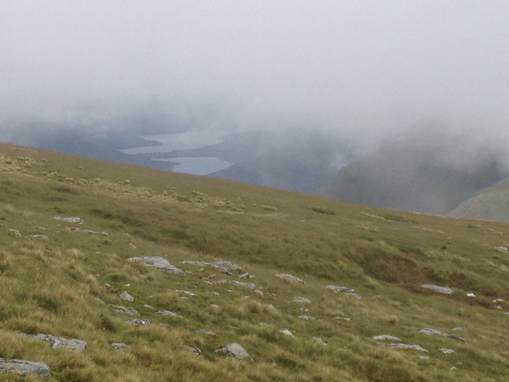
Loch Arklet and Loch Katrine briefly appeared out of the mist.
 Ime(20)1090803_10153142199660014_2013457591_o
 by
Craiging619, on Flickr
 Ime(21)1084175_10153142185830014_98490852_o
 by
Craiging619, on Flickr
The Cobbler looked somewhat eery on the descent.
 Ime(22)1083967_10153142182095014_1255577318_o
 by
Craiging619, on Flickr
 Ime(23)1090828_10153142180930014_1684774911_o
 by
Craiging619, on Flickr
Ben Reoch across Loch Long.
 Ime(24)1090438_10153142172960014_1292378465_o
 by
Craiging619, on Flickr
A brave soul heads for The Cobbler at 5pm.

 Ime(25)1084521_10153142171370014_1771750260_o
 by
Craiging619, on Flickr
 Ime(26)1083885_10153142162360014_1337631198_o
 by
Craiging619, on Flickr
Back in Arrochar. Pub time awaits in Glasgow.
 Ime(27)1091515_10153142158815014_1619115542_o
 by
Craiging619, on Flickr
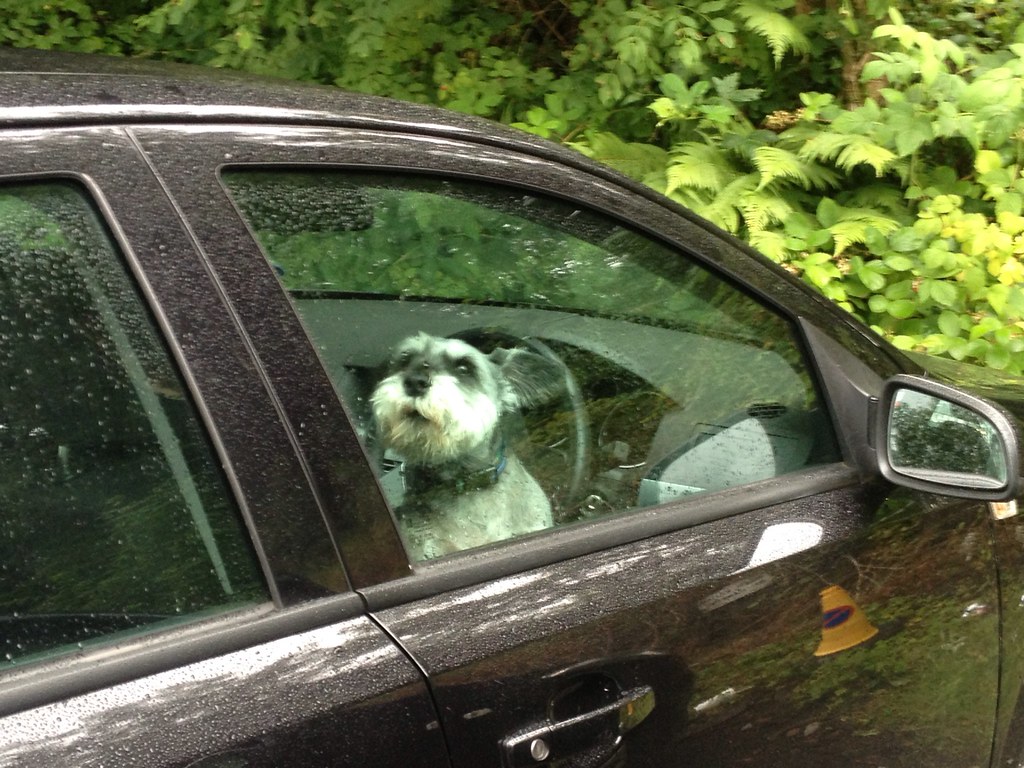
Cute dog alert in the car park!
