free to be able to rate and comment on reports (as well as access 1:25000 mapping).
After our epic 'Knoydart Odyssey' last year (walk report here:
http://www.walkhighlands.co.uk/Forum/viewtopic.php?f=9&t=24694 we returned to the peninsula the easier way this year - by boat from Mallaig to Inverie.
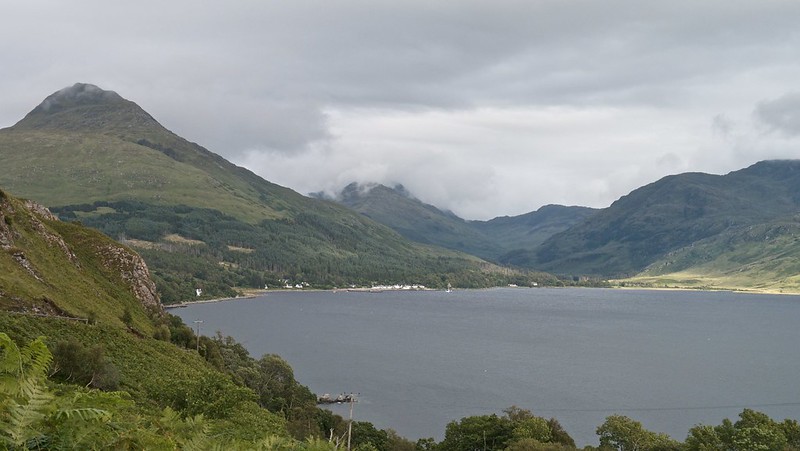
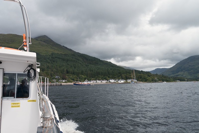 Approaching Inverie
 by
GariochT, on Flickr
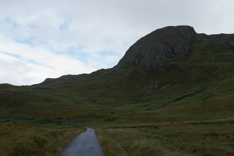
There were far fewer midges this year - they were almost unnoticeable in fact... well, most of the time! However, the weather wasn't as good for this return trip - rain showers, with gusty winds blowing the tops. Most of us opted for a relatively low-level walk from Inverie up a glen to see the waterfalls at Easan Buidhe.
On the Sunday, with similar weather forecast, some of us decided to improvise a walk to the west coast of the peninsula, poring over the map and eyeing up Doune as our destination (the map showed an intriguing 'Dun Ban - fort' next to it).
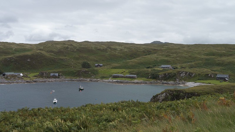
We set off from our bunkhouse accommodation, and headed through the old woodland and along the 'sea front' main street of Inverie, past the post office, the cafe, The Old Forge and the pier. We continued along the road and soon saw the houses of Scottas along the coastline.
 Flower
 by
GariochT, on Flickr
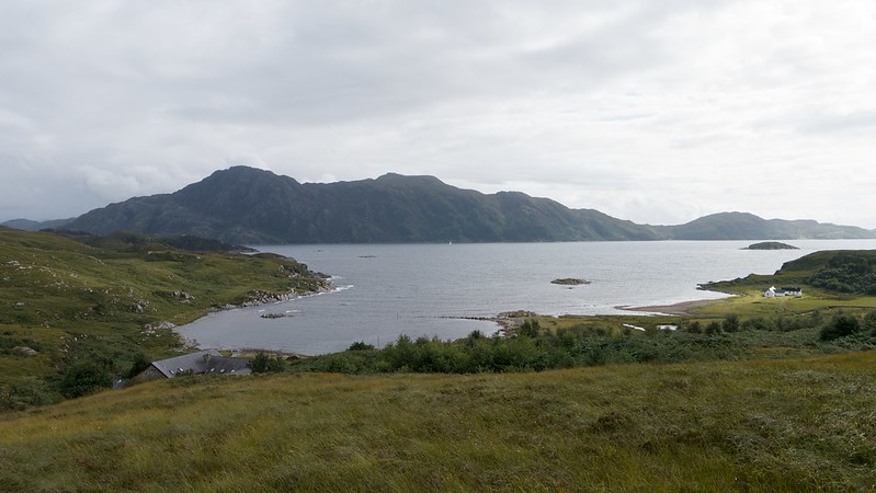
 Inverie Bay
 by
GariochT, on Flickr
The road turned inland, where a track branched off to lead down to Glaschoille House a kilometre or so further along the coast. We followed the road as it wended its way uphill, soon reaching Glaschoille Loch where we stopped for a snackette.
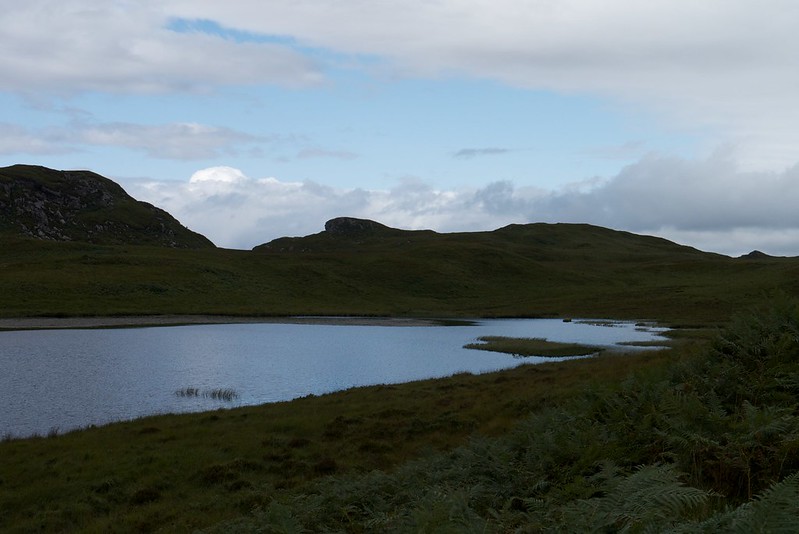 Glaschoille Loch
 by
GariochT, on Flickr
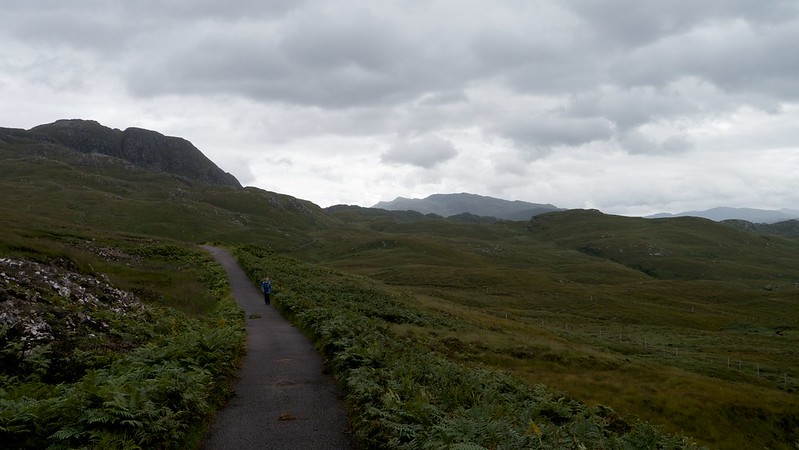
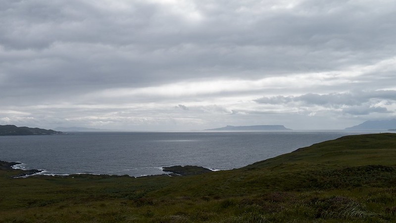
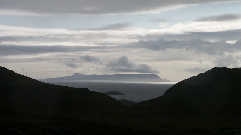
Onwards and (gently) upwards, along the road across rolling grassland. Eigg and Rum peeked over the near horizon.
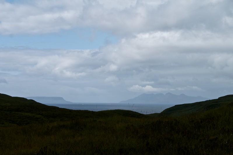 Eigg and Rum in the distance
 by
GariochT, on Flickr
 The road to Airor
 by
GariochT, on Flickr
As we continued north, Sleat - the southern end of Skye - also came into view.
 Eigg, Rum and Sleat on Skye in the distance
 by
GariochT, on Flickr
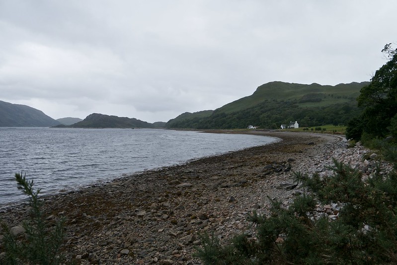
Our next sight was Sandaig Bay.
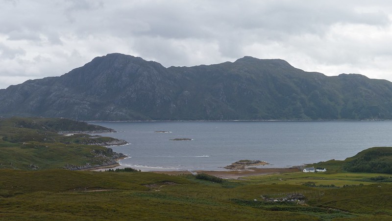 Sandaig Bay, Western Knoydart
 by
GariochT, on Flickr
The road continued, on and on....
 On the road
 by
GariochT, on Flickr
Then we came to a sign which said 'Doune Here', indicating the path down to Doune. Clever.
We carefully made our way down the muddy path, and shortly various little buildings overlooking the bay came into view. I've never been to Norway, but I thought that it looked like a little Norwegian fishing village.
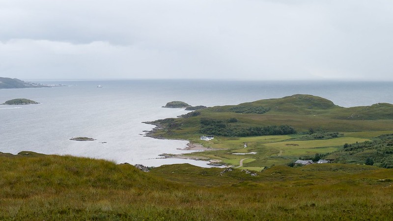
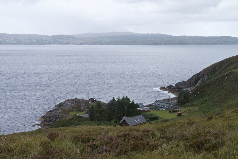 Doune, on the west coast of Knoydart
 by
GariochT, on Flickr
A delightful spot. We had our lunch on a picnic table by the rocky beach, looking out to the boats in the bay and across to Skye in the distance.
 The Sound of Sleat at Doune
 by
GariochT, on Flickr
After lunch, we went on search for the fort, ending up on the top of Dun Ban, but couldn't find any obvious archaeological remains. But instead enjoyed a good view of the bay.
 Doune Bay
 by
GariochT, on Flickr
We then continued southwards, soon reaching an old sheepfold, its drystone walls topped with heather and turf.
 Old sheep fold or shieling
 by
GariochT, on Flickr
 Flower on drystone wall
 by
GariochT, on Flickr
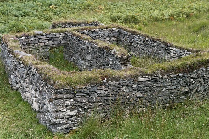 Old sheepfold or shieling
 by
GariochT, on Flickr
It was then time to head across the rolling landscape, following a SE bearing towards Sandaig and facing the occasional heavy rain shower.
 Magic light
 by
GariochT, on Flickr
As we neared the bay, we reached a stream that didn't look easy to cross, so we followed it upstream and went through a convenient gap in a forestry fence, from where we headed down to near where the stream meets the sea at the bay. It was easy to cross here.
 Departing Inverie Bay
 by
GariochT, on Flickr
We then passed by the front of a well-manicured lawn belonging to the former St Anthony's Chapel which is now a private house... according to our map, the track passes this old chapel and heads up to rejoin the main track which in turn leads back to the road. Conveniently for us, the owner of the house was around, so we asked him about the track and he explained that it was no longer in use and was very overgrown, but that we were welcome to try fighting through the vegetation to follow it if we wanted!
Which we did. It was hard work but eventually we emerged above the thicket, and from this higher ground we had good views again across the bay.
 Sandaig Bay, Western Knoydart
 by
GariochT, on Flickr
 Sandaig Bay, Western Knoydart
 by
GariochT, on Flickr
Only one more obstacle to tackle before we reached the main track - a locked gate in a deer fence. I faffed around with my rucksack before climbing the fence, and this was when the midges in their thousands finally discovered us. Arggh. We hurried uphill to join the road.
Now for an uneventful stroll down the road, back to Inverie. Well, not quite uneventful it turned out. We came across Postman Tommy (also known as Part Time Ranger Tommy) walking up the road to ask for our help - his delivery van had broken down. We pushed it into the nearest passing place so that it no longer blocked the road. He accompanied us for part of our return walk, until he thumbed a lift from a passing truck (driven by the owner of the former Chapel who we'd met earlier, who also runs the Knoydart ferry I believe! It's a small world is Knoydart.).
 Eigg from Knoydart
 by
GariochT, on Flickr
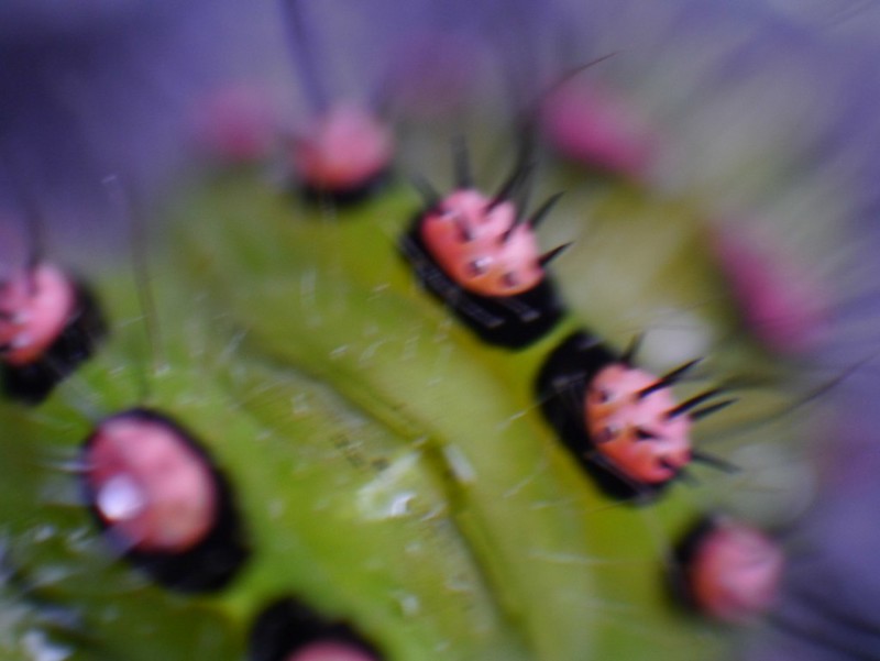 Knoydart Caterpillar
 by
GariochT, on Flickr
The return to Inverie didn't seem to take very long at all - perhaps because it was downhill - and we were pleased when the bay came into view.
 Inverie Bay
 by
GariochT, on Flickr
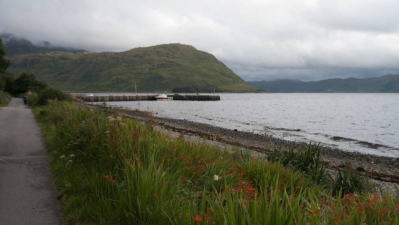 Inverie Pier
 by
GariochT, on Flickr
It was tempting to stop in the Old Forge, but there was plenty of wine back at the bunkhouse that we had to finish...
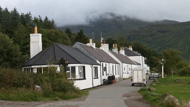 The Old Forge, Inverie
 by
GariochT, on Flickr
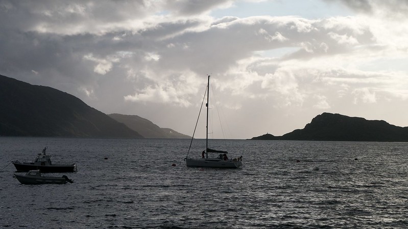 Boats in Inverie Bay
 by
GariochT, on Flickr
We did indeed finish the wine that evening, and fortunately could have a lie-in before catching the mid-morning ferry to Mallaig. Goodbye Knoydart; hope to see you again soon!
 Inverie
 by
GariochT, on Flickr
Departing Inverie Bay by
GariochT, on Flickr
