free to be able to rate and comment on reports (as well as access 1:25000 mapping).
Hey
Here is a trip report from my recent trip to the Outer Hebrides
On the forth and last full day of my staff training expedition to the Outer hebrides I decided the team should do the Clisham horseshoe. The weather could not of been better after the two previous days of Mealaisdhal and Seatisadhal being in the clouds. Its was finally going to be nice to see some views.
That day we woke up on our beach base camp on the west of the isle of Lewis, packed up and drove over to Harris. We started the route at around 10am, we started up a few kilometres of bog in Gleann Sgaladail. We reached the base of Mullach an Langa where the ground became less water logged and we started the first real uphill of the day. Reaching the summit of Mullach an langa and the view of the ridge line unfolded in front of us. The original idea of a lunch break on the first summit quickly left our minds and we eagerly carried on.
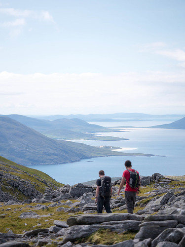 Heading down Mullach an Langa
 by
AlexFrood, on Flickr
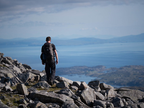
The views from the ridge heading to Mulla dho Thuath were spectacular, seeing the mountains turn to white sand beach before heading into the aqua blue water was certainly a view I wont be forgetting.
We were about 300 meters from the summit of Mulla dha Thuath when we took a quick photo break, posing on a pinnacle with a great view behind it. After our photo stop I picked up my rucksack only to notice my SPOT GPS beacon strap had snapped and the beacon was missing. Not good for two reasons, one - it's a expensive device and two - I need it for work. Long story cut short, I had to walk all the way back up the first summit and I still couldn't find it. As I was walking back I bumped into two walkers who were coming in the other direction. In a last ditch effort I asked them if they had seen an orange GPS device, they had, they said it was laying in the middle of the path a few hundred meters back. They originally pointed me in the right diction but i wasn't having any of that I eventually persuaded them to take me back to it.
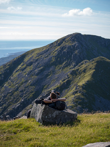
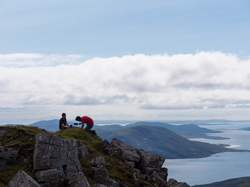 Mulla bho Thuath summit lunch stop
 by
AlexFrood, on Flickr
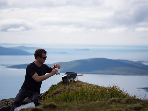 Lunch with a view on Mulla bho Thuath
 by
AlexFrood, on Flickr
Finally the summit on Mulla Bho Thuath was made and the later than planned lunch was had. The wait was worth it and it was one of the best looking lunch stops i've ever had.
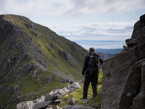 Ridge to Mull bho Dheas
 by
AlexFrood, on Flickr
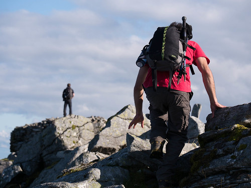
Two summits down and two do go. The next summit was Mulla dho Dheas, but by this point we were running a little low on water, all we have left was a 1 litre of hot boiled water from cooking the rat packs from lunch.
 Rest stop on Clisham
 by
AlexFrood, on Flickr
We summited Mulla dho Dheas and drank some more of the warm water, took in the views and looking out over the final summit. We carried on down the ridge to the final summit. Luckily for us there was a small stream just before the ridge starts to go back up to Clisham, we quickly refilled bottles and camel baks and we were ready for the final climb.
 View from Clisham summit.
 by
AlexFrood, on Flickr
Not far to go now and views of the Isle of Skye and the Scottish mainland began to appear, making what was already a great day even better.
 Clisham Summit
 by
AlexFrood, on Flickr
The team almost on the final summit

Summit photo from Clisham with views of the Isle of Harris, Isle of Skye, North Uist, Scottish mainland and our faces.
 End of a long day on the Clisham horseshoe
 by
AlexFrood, on Flickr
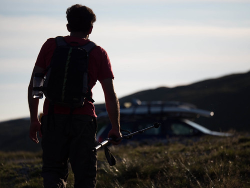
Heading to the car after a great day in the mountains with friends, great weather and breath taking views.
One of the best mountain days i've had. I photographed the trip as if they were mock clients for me and im going to be doing more adventure photography as something for company I work for.
For more photos or to see the other days of the trip visit my blog
http://alexfrood.wordpress.com/tag/outer-hebrides/If you got this far thanks for reading and I would love you hear what you think.
Thanks
-Alex
