free to be able to rate and comment on reports (as well as access 1:25000 mapping).
Date: 26/12/13
Hills: Drumelzier Law
Present: Just Me
Weather: Cold, Windy & Claggy
Distance: 6.56mls
Ascent: 1804ft approx.
Walking: 2hrs 46min. Loafing: 2hrs 05mins Total 4hrs 52mins Work and this bloody awful weather has kept me off the hills since 10th November so with a slight lull on Boxing day I took my chance to get out. The Borders was looking best so Drumelzier Law was quickly selected when I got home from family gathering at 11.30pm on Xmas day.
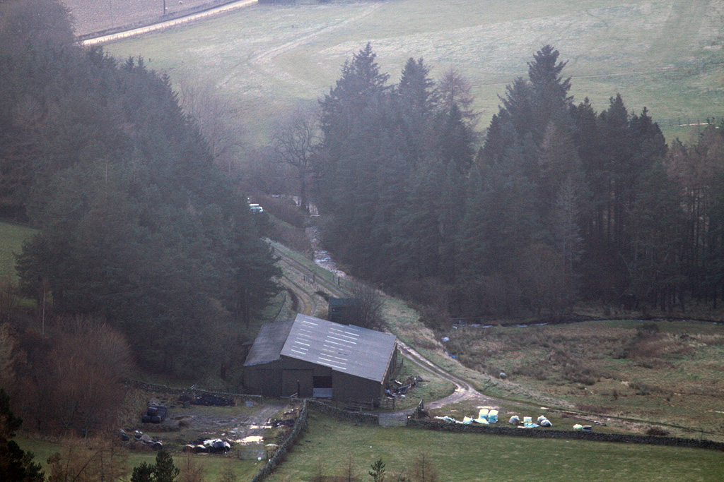
Left Irvine under clear skies but by the time I reached Drumelzier it was looking a bit gloomier overhead. There is space for a few cars at the end of the lane at NT136340, though there was only space for one this morning as the cottage was occupied by a shooting party. I sat in the car for a while before making a move, just as more vehicles arrived for the shoot. I enquired as to where they were heading so as not to be in the line of fire. They were heading for the low ground at Logan Wood so we were not going to be in each other’s way.
I set off over the bridge and up behind the cottage to gain a grassy path on the east side of Drumelzier Burn, leaving the shooting party to head up the farm track.
Bridge over the burn.
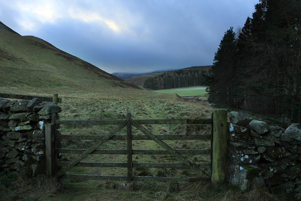
Gate at the back of the cottage.
Looking back to Trahenna Hill.

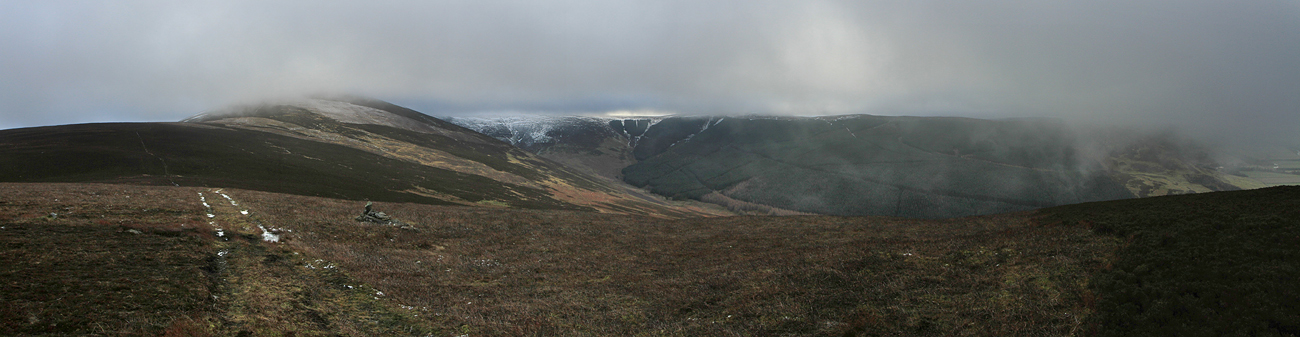
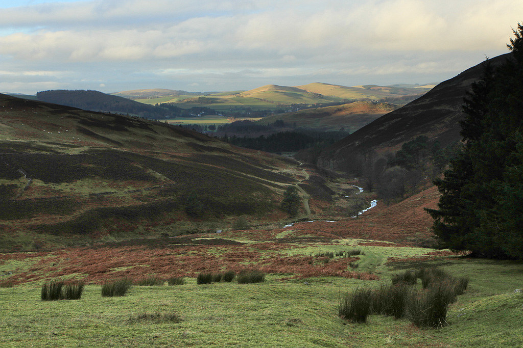
Logan Wood with Drumelzier Law hidden by clag.
Shooting party heading off.
It was pleasant walking on this side of the burn but a tad overgrown in places and very wet underfoot after all the recent rain.
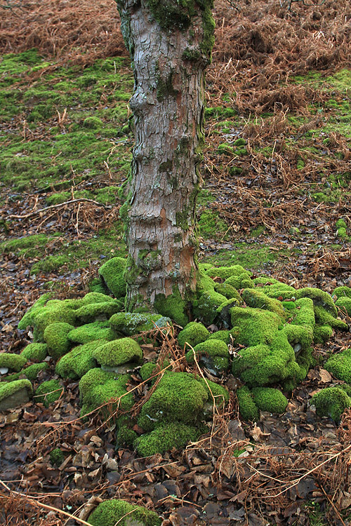
There was a line of trees with a nice pile of moss covered rocks around the bases.
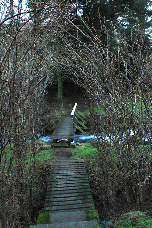
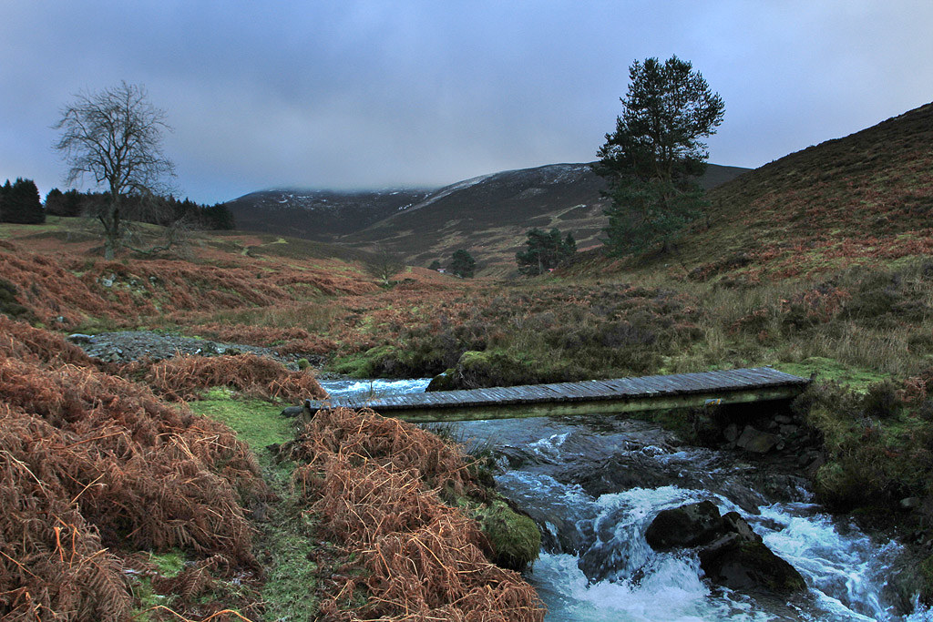
Crossed over this footbridge at NT143332.
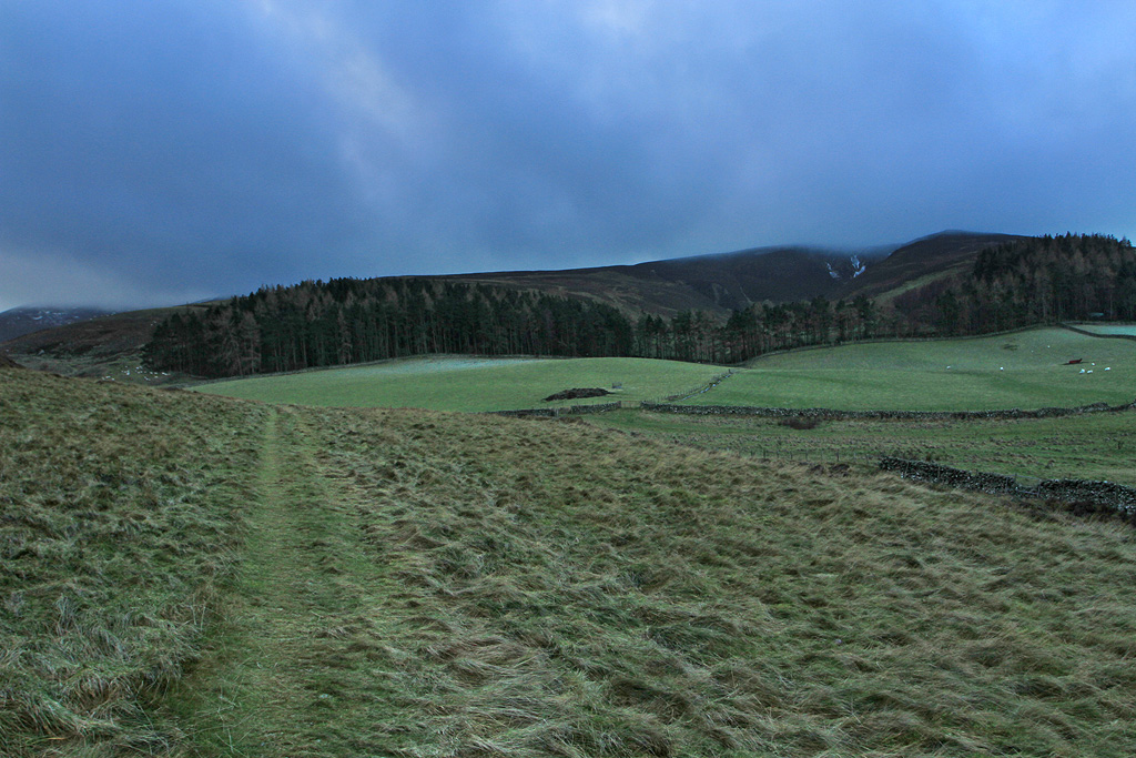
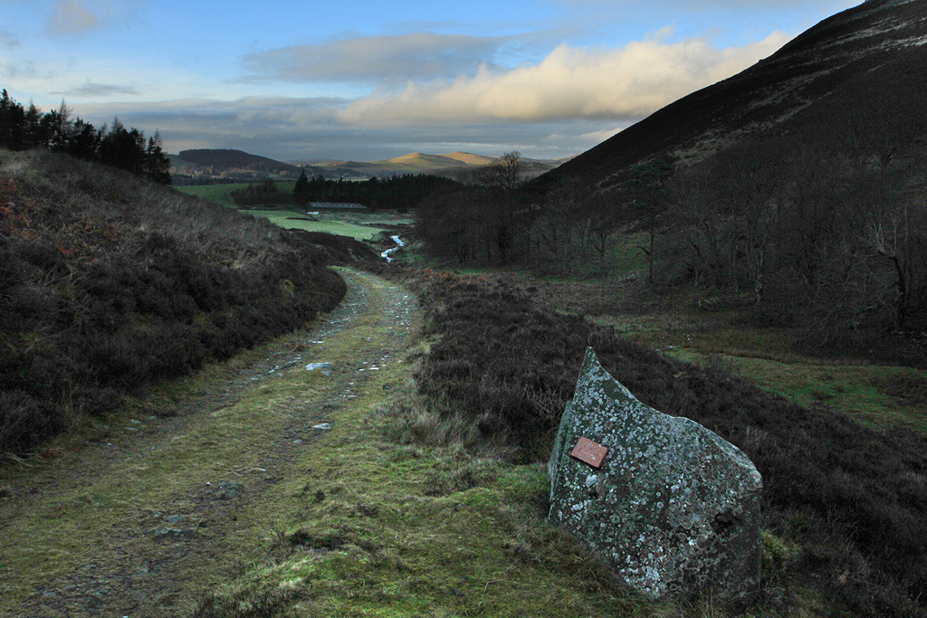
After crossing over the burn I headed s/w following a fence line uphill for a short distance, before picking up an atv track which makes it way up to Logan Head.
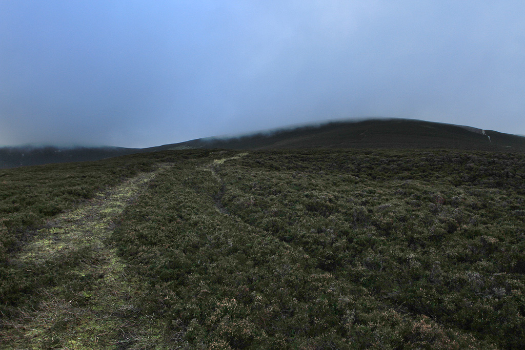
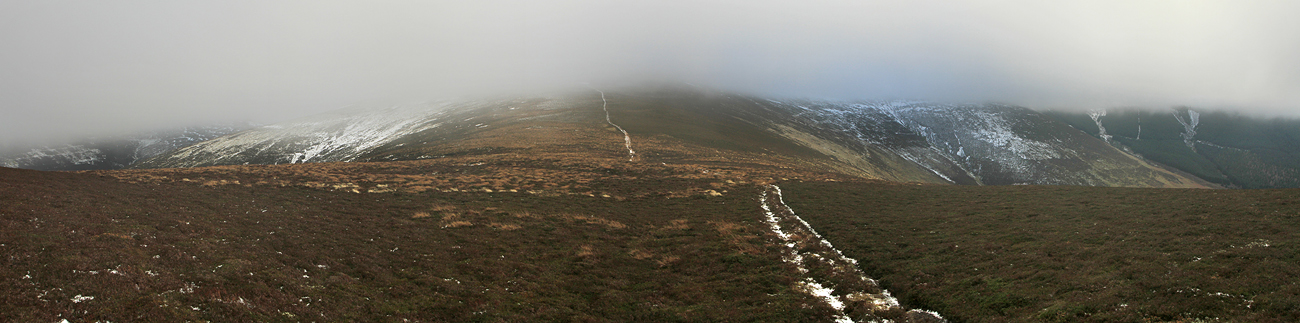
Drumelzier Law still in clag.
Trahenna Hill.
Heading up to Logan Head.
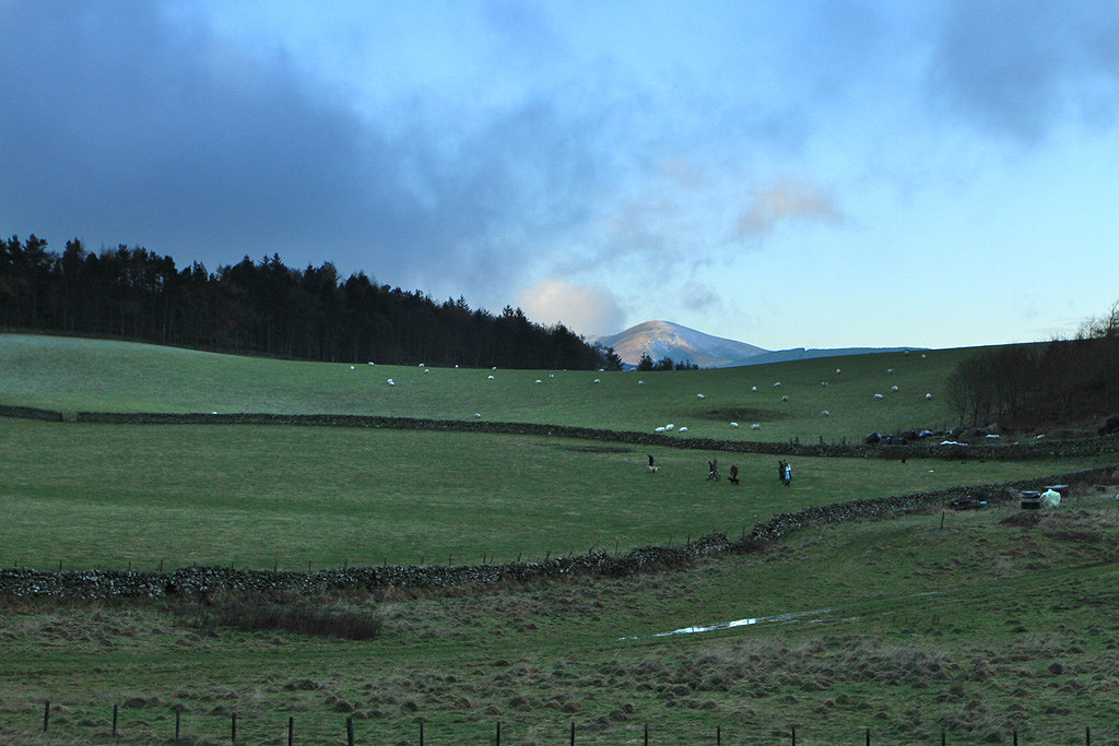
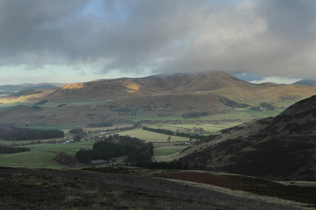
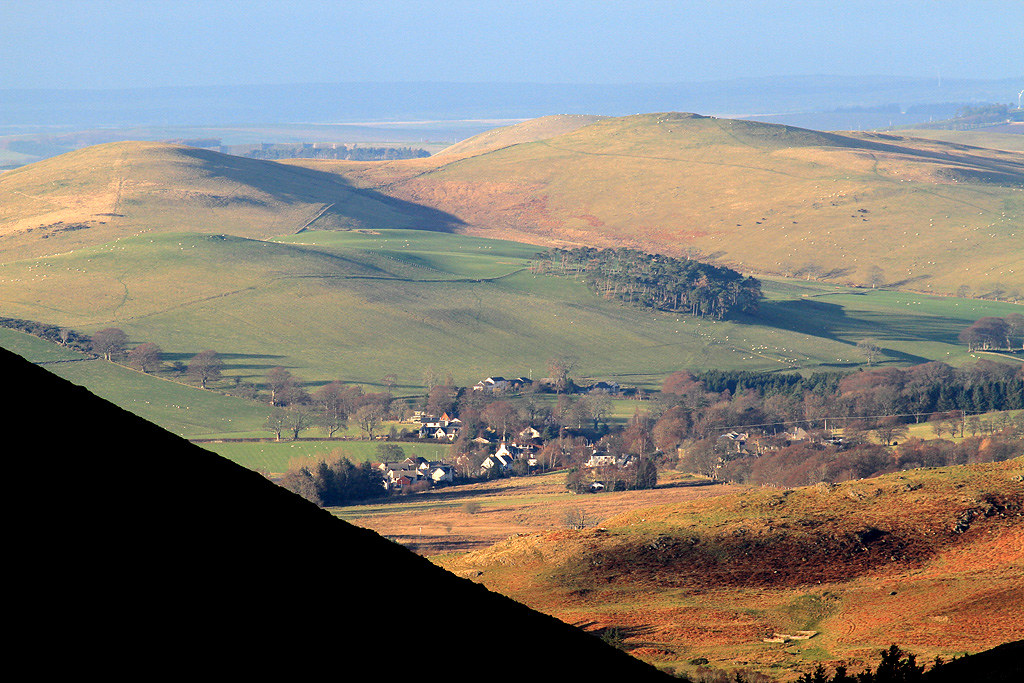
View north towards Broughton.
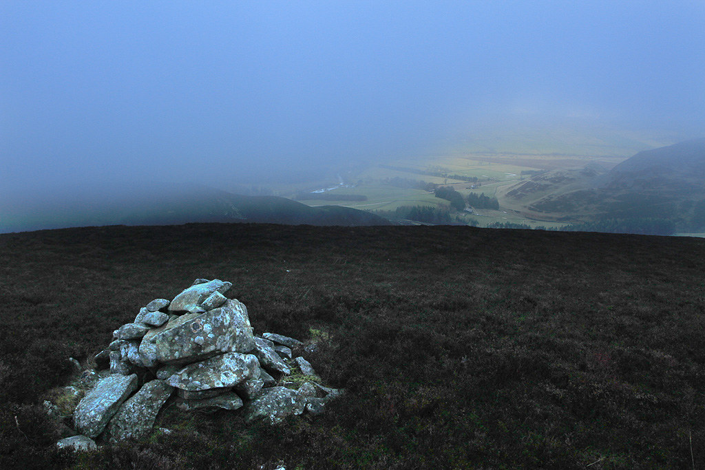
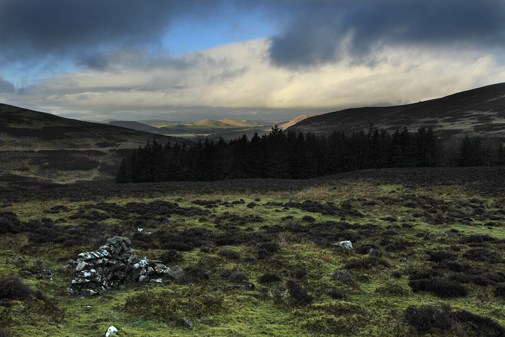
As I entered in to the clag a saw a cairn just a few meters to the right of the track which I decided to have a break at plus a bite to eat. Yesterday’s big nosh up was wearing off by now. The clag was giving brief views so I hung around for a while.
Zoom to the starting point. You can see the cars and the footbridge.
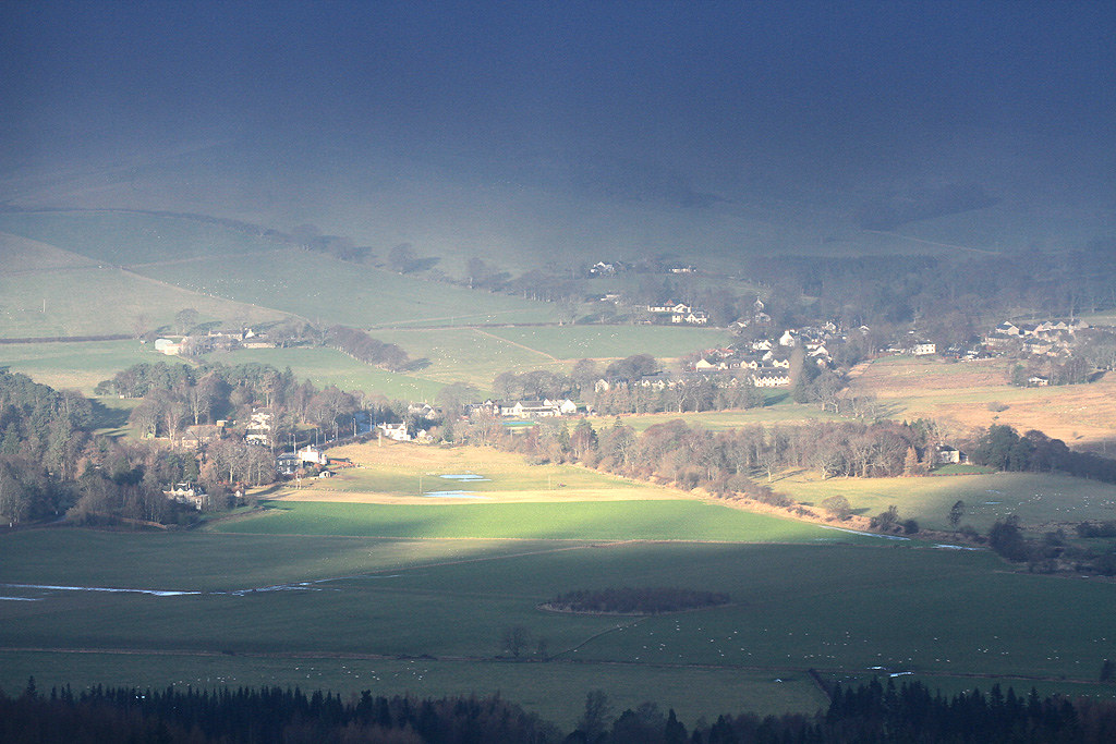
Zoom to Broughton.
Shot of the cairn as I left.
View ahead from Logan Head.
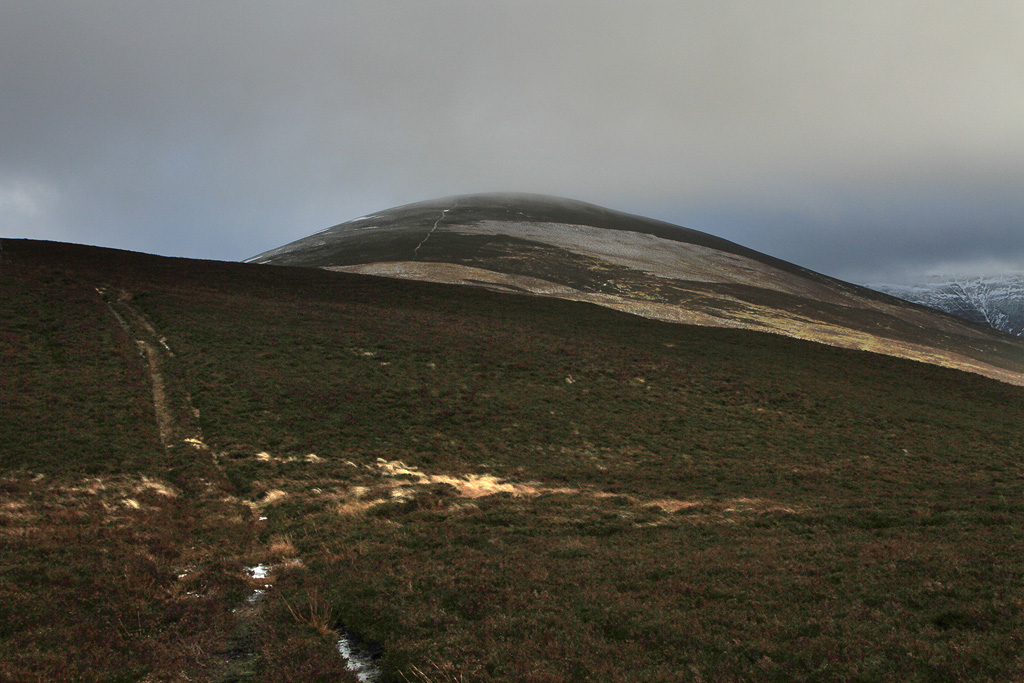
Drumelzier Law still hiding in the clag.
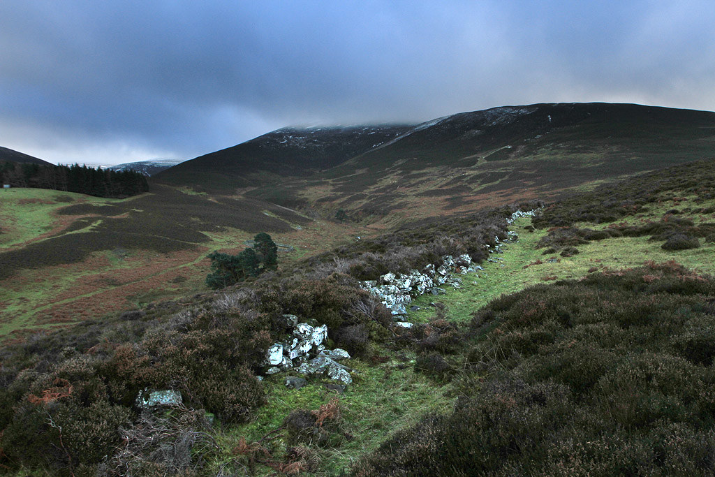
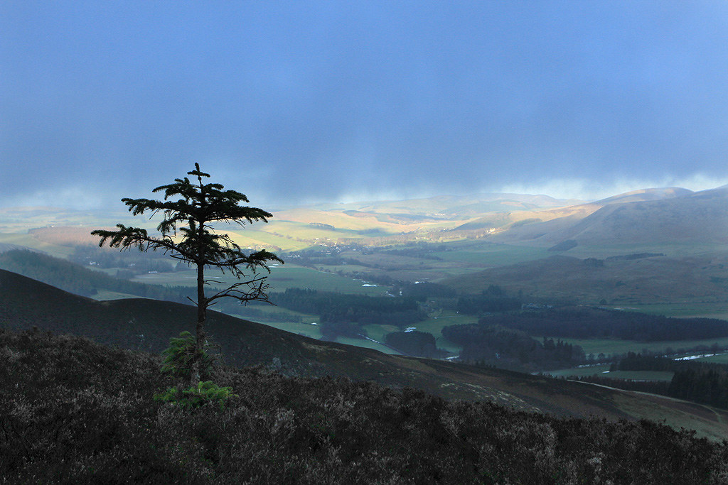
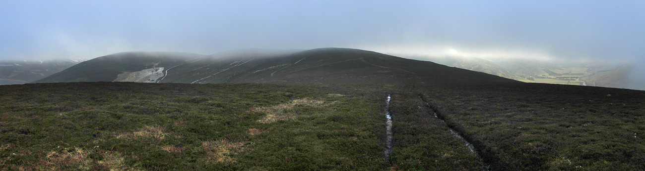
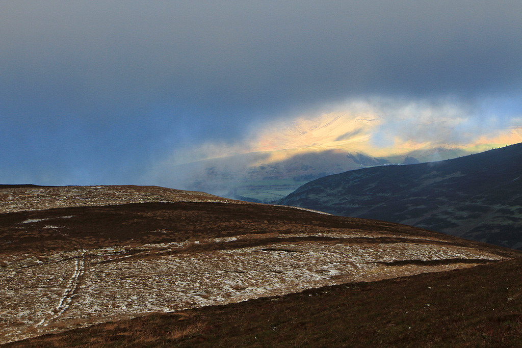
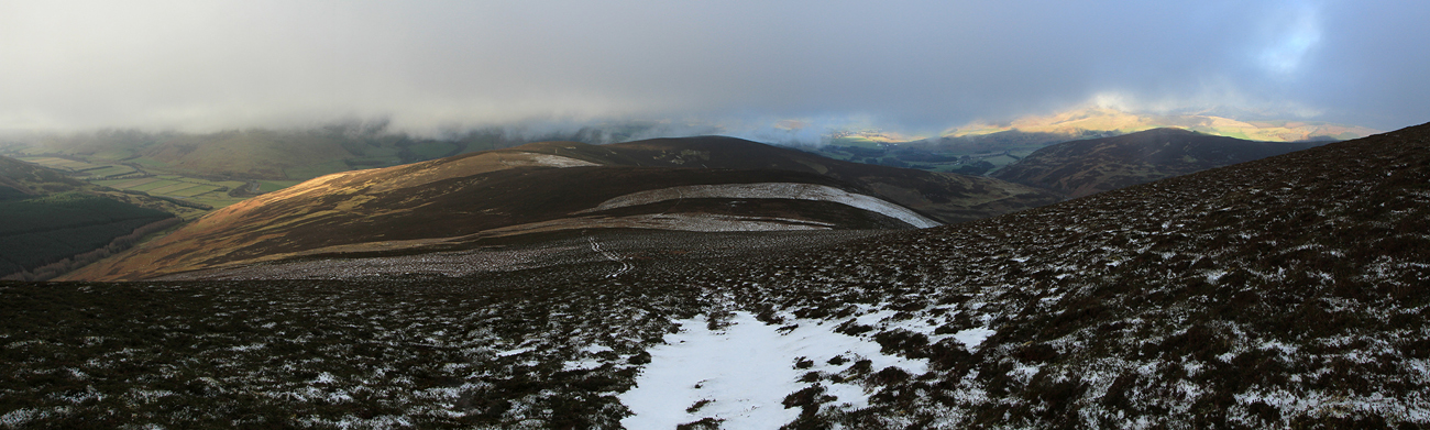
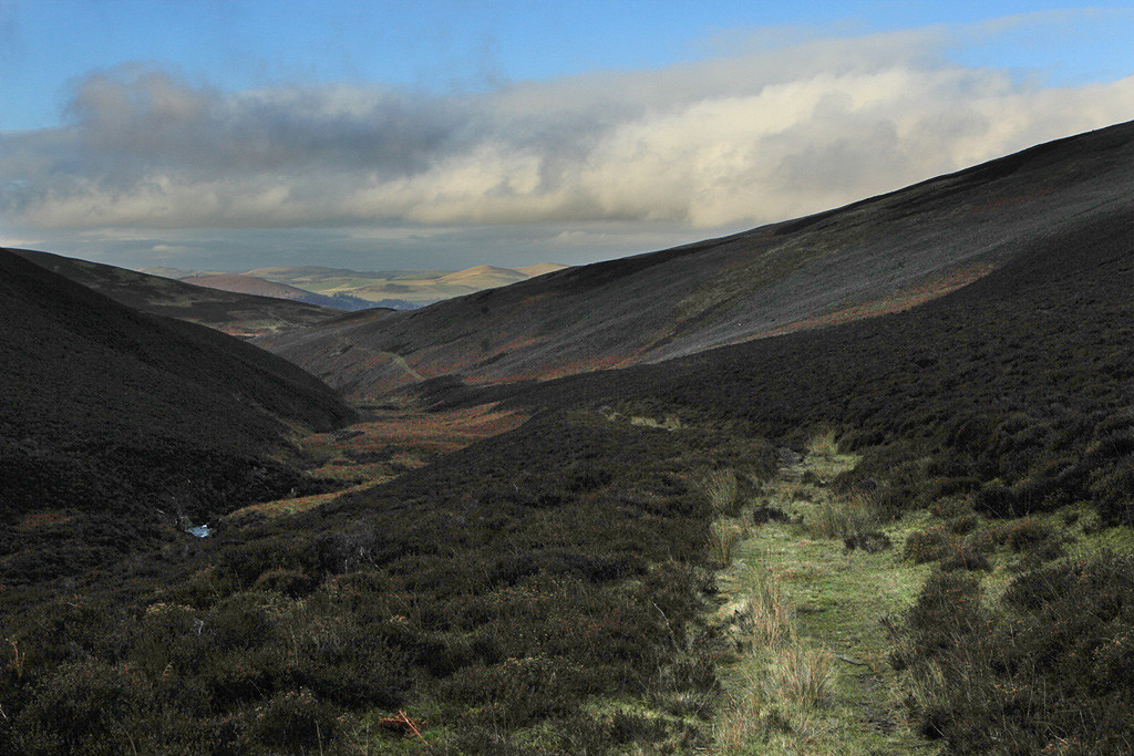
As I made my way along the ridge line following the atv track the clag was coming and going, giving an odd glimpse down to the sun kissed ground below.
A brief glimpse to sunnier lands below.
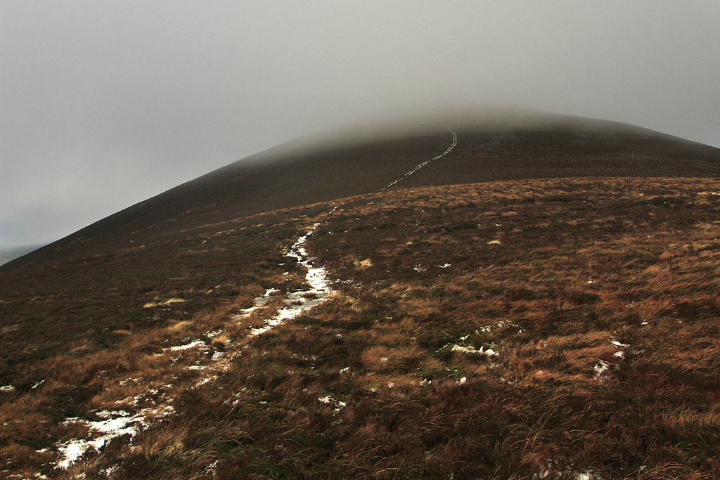
Things looked like improving as I got nearer Drumelzier Law.
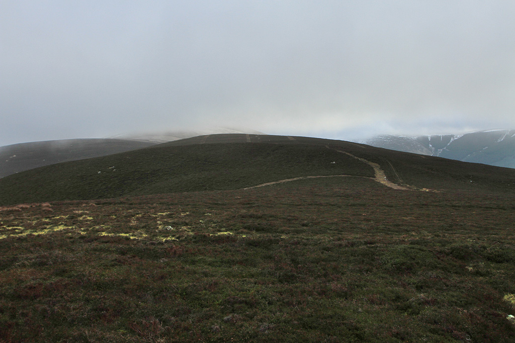
The summit almost clear.
Looking back to Logan Head.
Trahenna Hill through the clag.
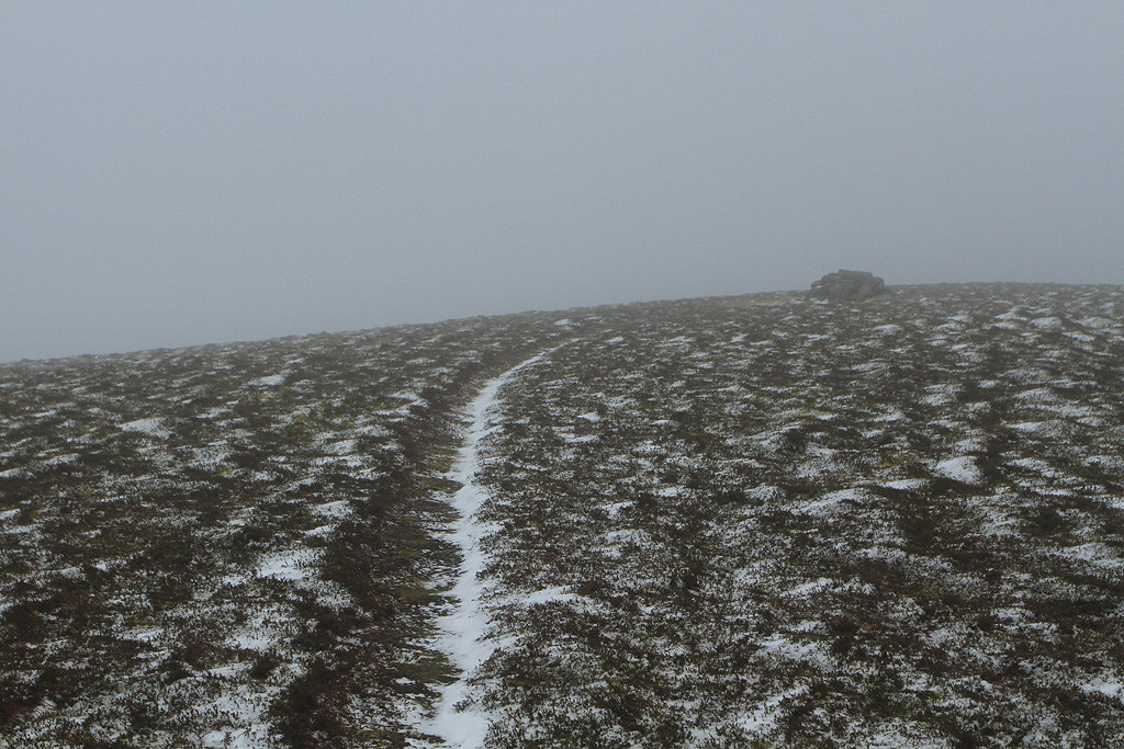
Another look back just before I entered a world of cold winter clag.
Approaching the summit.
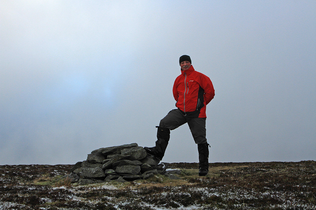
It was pretty Baltic at the summit with no shelter from the wind. Another layer on and a quick summit pose was in order. Really annoying type of clag as blue sky could be seen above but it was not a place to spend too much time loafing about on today.
Summit pose then it was time to go.
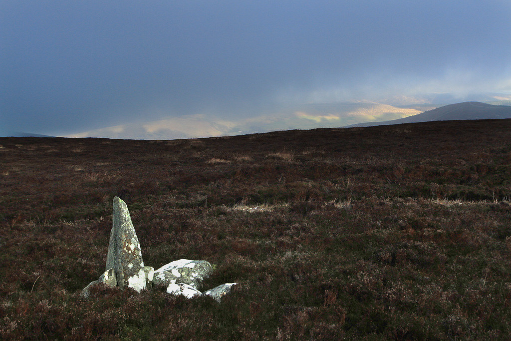
Onwards to another cairn.
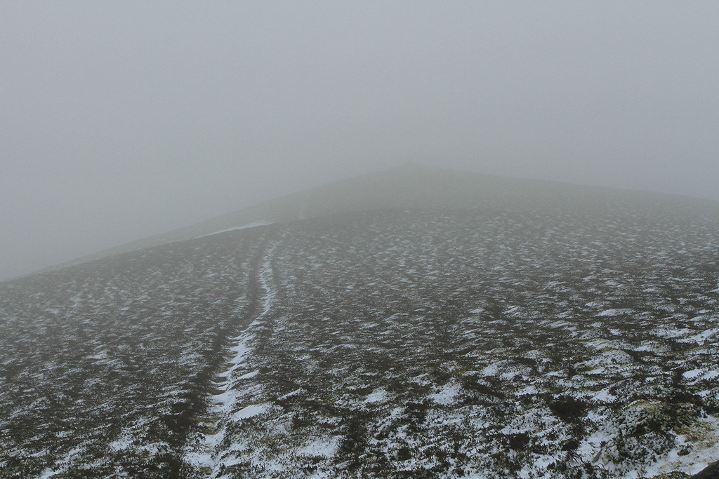
After a brief stop at the next cairn I continued on down with the intention of heading up to Glenstivion Dod then Long Grain Knowe and on up to Pykestone Hill.
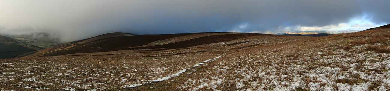
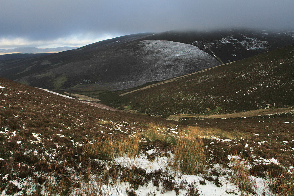
View ahead as I dropped below the clag.
View back up to Drumelzier Law.
When I got down to the col I had a break and weighed up if it was worth going over the overs on the route I had planned. I soon came to the conclusion that with little chance of a view plus the fact I had done Pykestone Hill earlier in the year it was a bit pointless, so it was time to bail out. Decided to drop down to the north and follow the Drumelzier Burn back out, hoping there was an atv track to follow.
Heading down through deep heather.
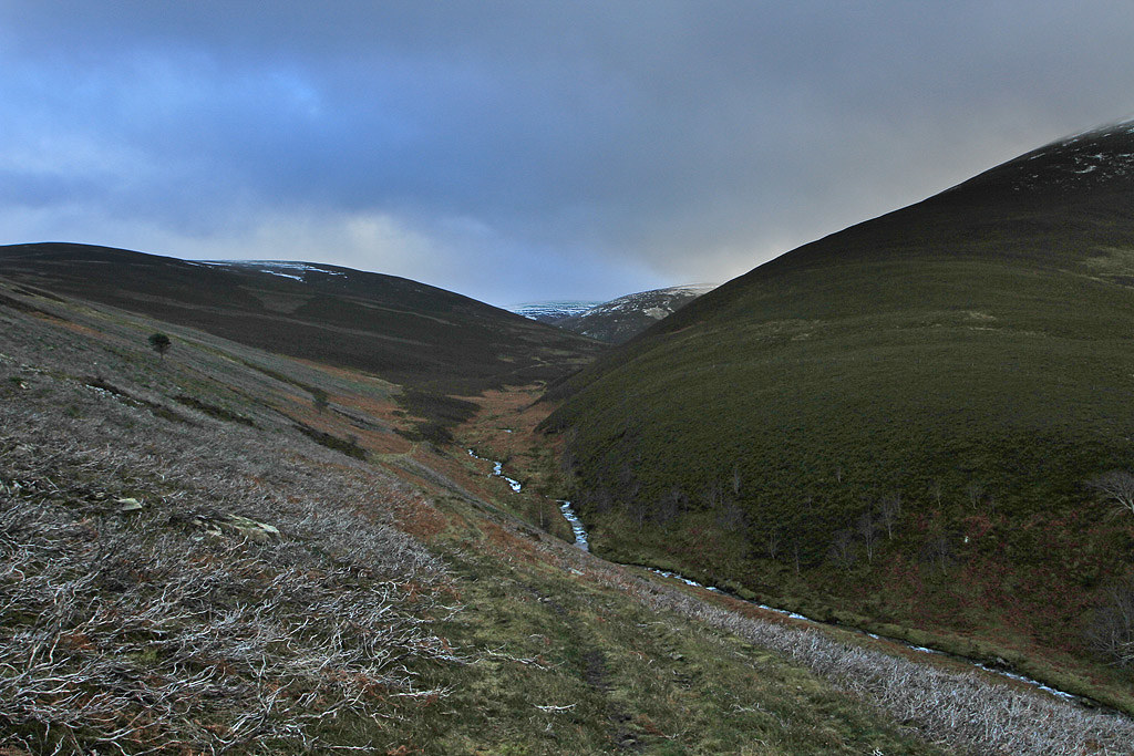
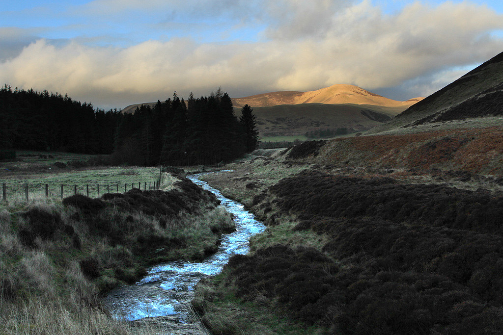
Drumelzier Burn.
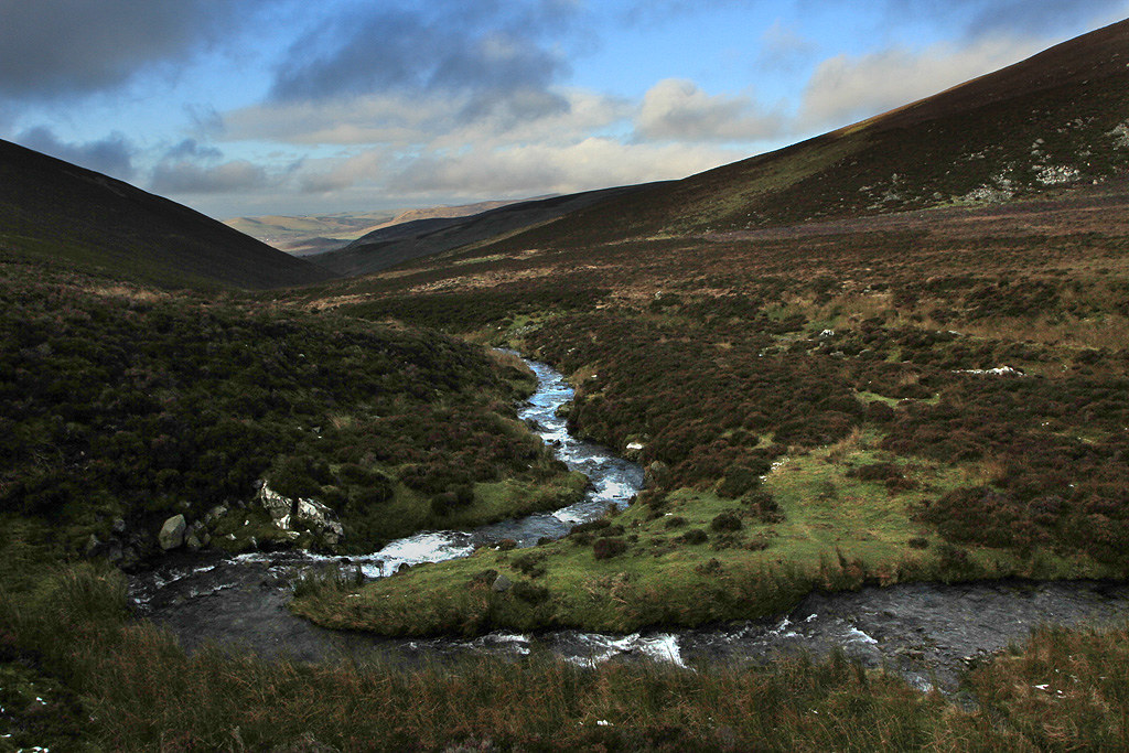
The burn was easy enough to cross at NT157314 at it was a wind free spot for another break and finish off the grub. As hoped for there was an atv track heading off down the valley.
Zoom down to a sun bathed Broughton.
View back with my descent route on the right.

Following the track out.
The path splits at approx NT148324 with one staying high and one dropping down to the burn. No difference which one you take as they both merge again further down the valley. I kept to the high one which met up with the track coming down from Pykestone Hill at NT147328.
View back from the high track.
View ahead towards Broughton.
On the track on the south side of Drumelzier Burn.
Trahenna Hill still catching the sun.
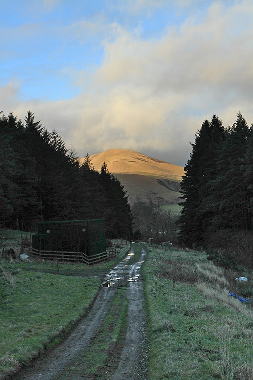
The final few yards before reaching the car.
Weather could have been better, but given the recent storms it was not too bad a day out. These hills may not appeal to everybody but they give another option to me if the weather is worse further north and they are quiet. Apart from the shooting party at the start and a farmer on a quad below Logan Head, I never saw a soul .

