free to be able to rate and comment on reports (as well as access 1:25000 mapping).
The two Corbetts on the southern side of Glen Affric don't yet have their own Walkhighlands route, which is a shame as there is plenty to see on this side of the loch. [EDIT: they do have WH route now

] Sadly, Carn a'Choire Ghairbh and its more shy neighbour, Aonach Shasuinn, are much neglected mountains

I assume most walkers head for the northern side of the glen, enchanted by the majestic beauty of Affric Munros. I admit, we never paid much attention to the southern hills until we started running out of "quickies in the neighbourhood", as I call shorter, easier routes to do in winter time.
The best way to savour these two is to tackle them together in a circular walk, as SMC guide suggest, but this option seemed a wee bit too long for a winter walk, so for now, we tackled only Carn a'Choire Ghairbh. The original idea was to climb the hill from Corrie Allt Garbh, walk the whole length of the ridge to the summit and return the way we came. Due to heavy snow higher up we had to adjust our plans and change the descent route, but it was still a good day out on the hills, if a bit cloudy and windy.
Our route:
On Friday Kevin started sneezing and complained about blocked nose, but try to stop him from planning another trip

He ended up walking with loads of tissues and at least I didn't need to look back to know he was still there - his "a-choos" were loud enough!
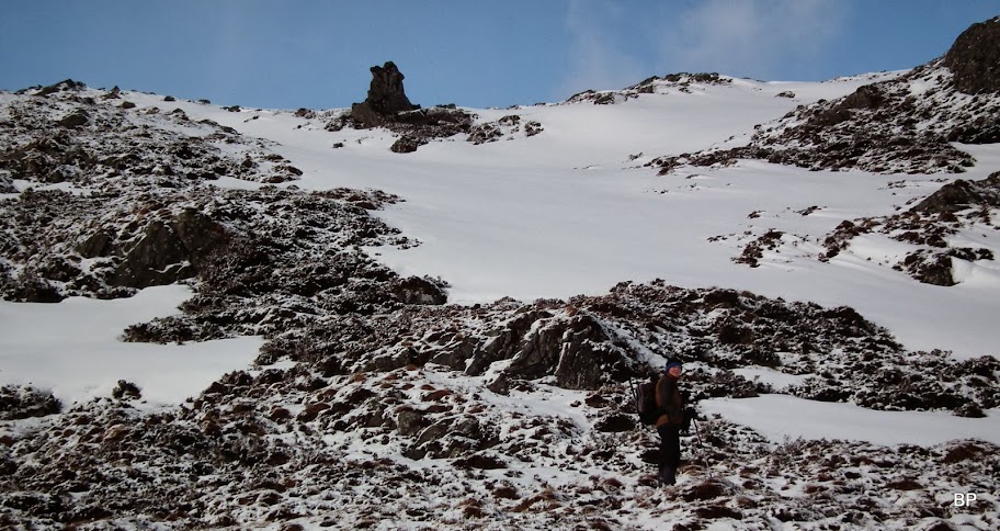
So we went for it. Carn a'Choire Ghairbh is one of those hills often photographed, but rarely climbed. Anybody who walked around Loch Affric must have noticed this long, very steep-looking ridge, guarding the southern flanks of the glen. The ascent from this side looks problematic, to say the least, although there is a stalkers path, climbing steeply up the slope from near Atnamulloch. We took a different approach, tackling the hill "from behind"

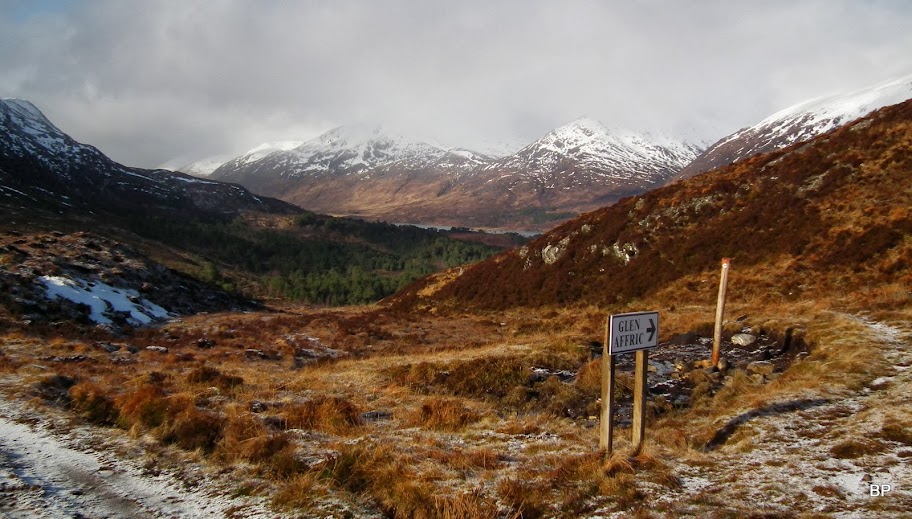
The usual starting point for any Affric adventure will be the car park at the end of the public road into the glen. There has been much talking about the intended parking charge here - at the moment the ticket machines are still covered and the car park is free

The morning was cold, fresh and blue sky gave us hope for a cloud-free summit:

Ready for my next adventure:
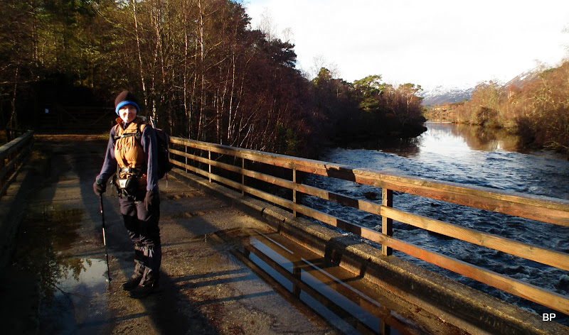
We crossed the bridge and followed the track along the loch for 2km. It has recently been bulldozed wider - we even noticed a caterpillar digger parked on the roadside.

View across the loch:
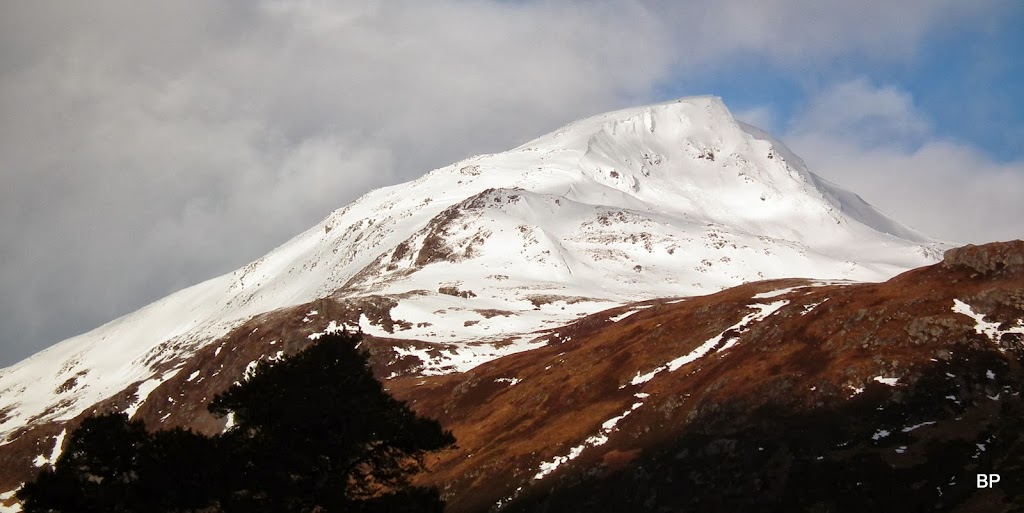
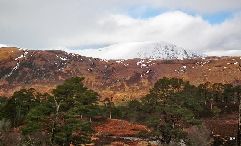
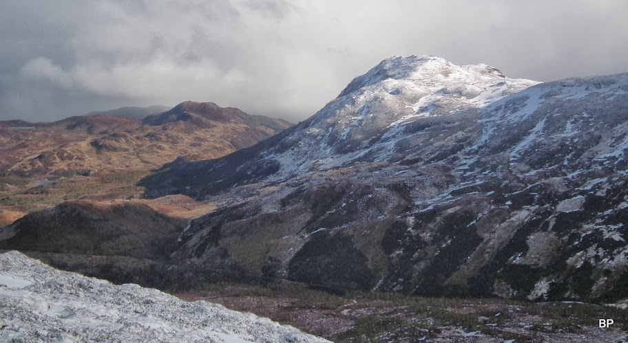
On the opposite side of the glen, Sgurr na Lapaich proudly presented itself in morning sunshine:
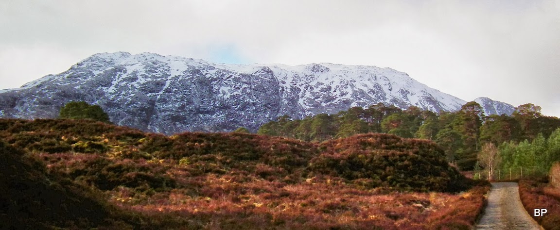
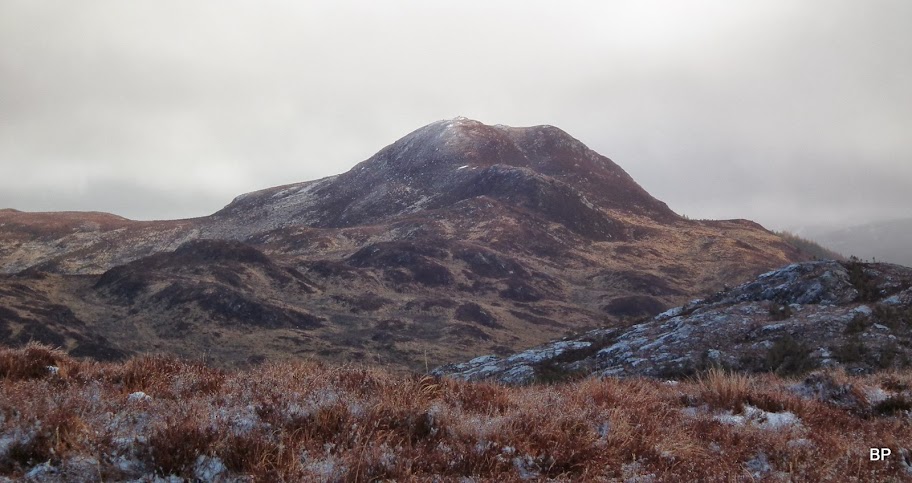
And here is "our" hill - it looks unclimbable from this perspective! What we are looking at is actually the eastern end of the ridge. SMC Corbett guide suggest tackling this straight on up the slopes of Na Cnapain, but we felt a bit doubtful about this option. Probably a route for summer conditions...
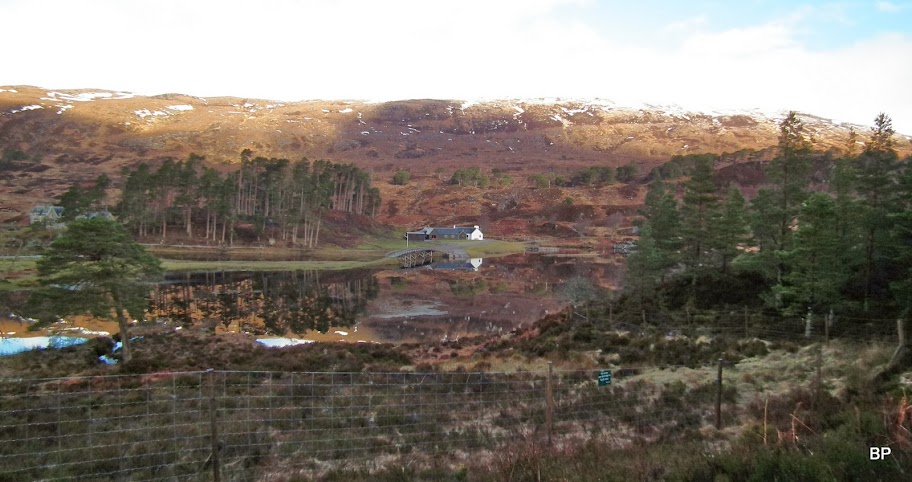
Just past the little white cottage there is a signposted path "to Cougie". Kevin knows this area better than me, as he used to live in Cannich, just down the road
Once he tried to cycle from Affric to Cougie on this path - and spent most time actually carrying his bike on his back! I didn't understand why, until I started up this route myself. Wet, wet, wet.
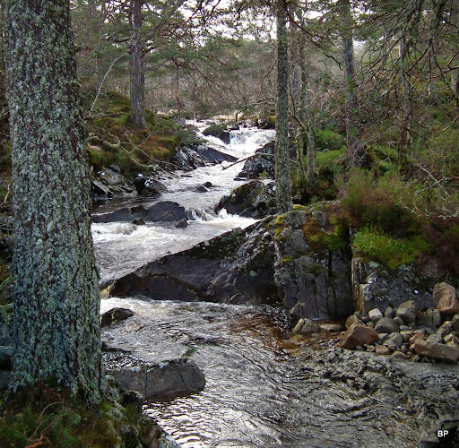
To start with, it didn't look so bad, the path took us along humming Allt Garbh, past some small, but very picturesque waterfalls:
Higher up, the path becomes a squelchy bogfeast

but views are better:
The cloud was coming in and our hopes for clear summit started to fade...
...but our target hill still stayed cloud-free, so maybe it wasn't going to be so bad at all...
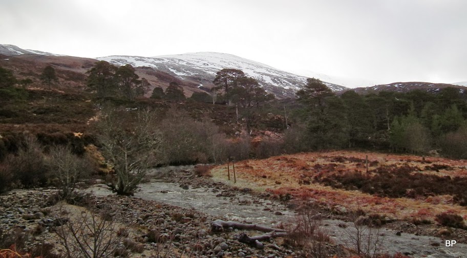
The boggy path comes out of the woods eventually, to climb about 70m up Druim na Caillich, alongside the old fence. This is the wettest part of this right of way and some mud-dancing skills are welcome
When we looked behind, the view down to Loch Affric and the hills beyond was priceless:

The boggy path joins a wider track coming from Cougie and here we turned right and into the shadowy Corrie Allt Garbh. But before that, there was a short break for a few photos and a few a-choos
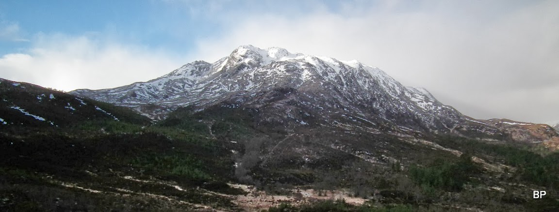
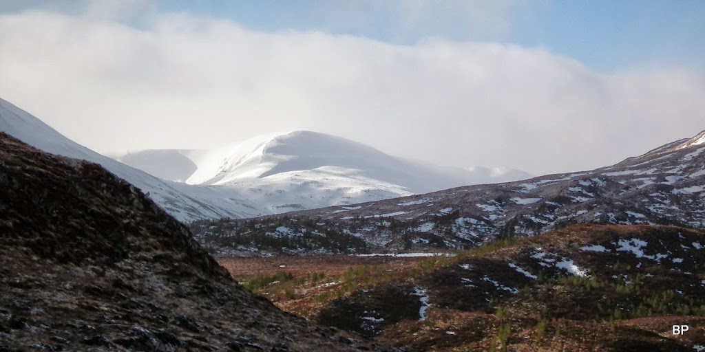
From the col, a distant shapely mountain appeared to the east. Not 100% sure, but I think it's a local Graham, Meall a'Chrathaich. We climbed it almost exactly a year ago, from Corrimony:
Our attention was drawn to the steep east face of Carn a'Choire Ghairbh or to be precise, its lower top, Carn Glas Iochdarach. The mountain looks beautiful from this side and the snow cover just adds to the magic... Why is this hill so neglected and overlooked, I don't understand.

Whereas the ridge of Carn a'Choire Ghairbh can be seen from basically anywhere in Glen Affric, its shy neighbour, Aonach Shasuinn, remains hidden until one ventures off beaten track (an onto the bog
):
Just in case if you lose your way:
The two Corbetts in one photo
with the track into Corrie Allt Garbh in the middle. A wee bit better underfoot, but still wet approach.
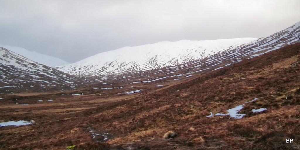
One last glimpse back towards the Affric giants, before we entered the shadowy world of the hidden glen:

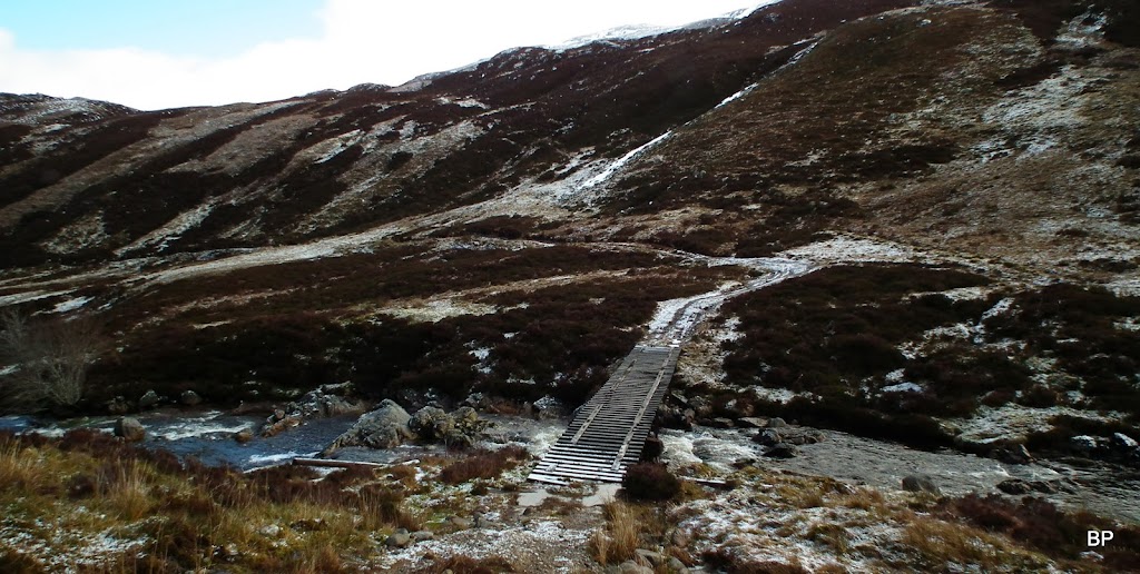
The glen was a completely different world. I didn't realise this hidden spot was here, otherwise I would have explored it ages ago! The track descends slightly towards the river...

...where there is a wooden bridge. the track then continues up the opposite side of the glen:
We left the track about half a kilometre past the bridge (it was boggy anyway
) and charged straight up the steep slopes of An Cnapain. It may be steep, but it's mostly grassy/heathery, with rocks and boulders sitting in the ground like raisins in a cake. Lower down, there was little snow so going, though squelchy, was quite easy:
Aonach Shasuinn across the glen:
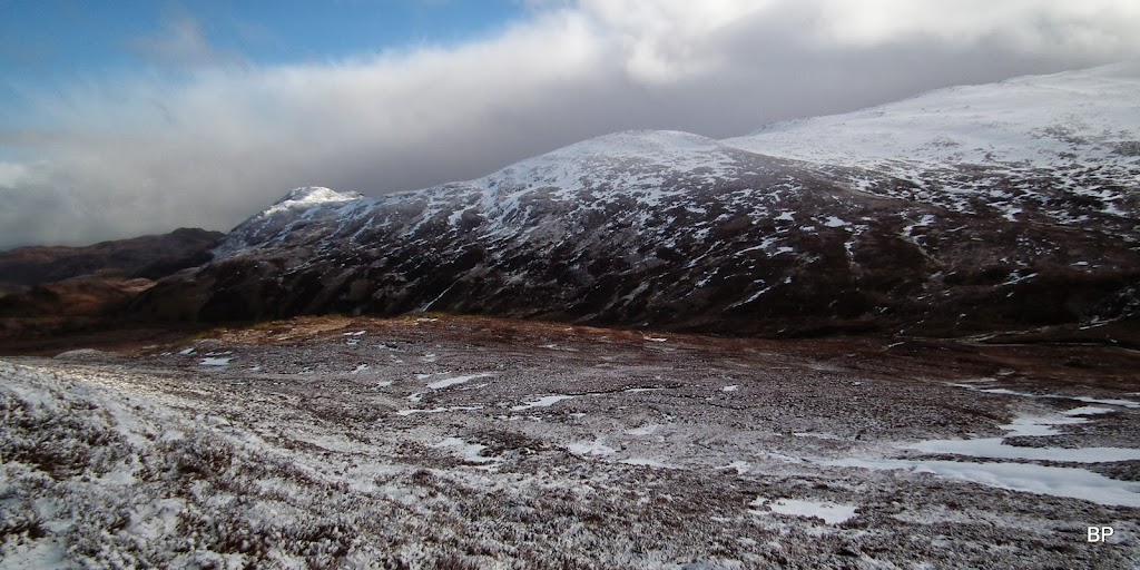
The upper Corrie Allt Garbh and the cloud descending slowly on the hilltops:
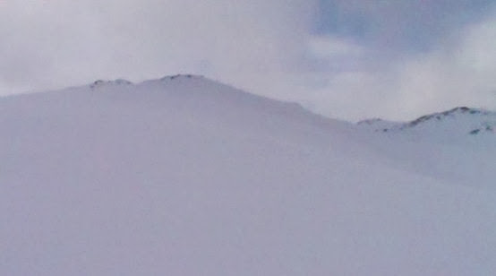
As we neared the top of the ridge, we had to slow down due to deep, sticky snow. The photo may not illustrate it as I'd like it to, but believe me, from this moment on real hard work started:
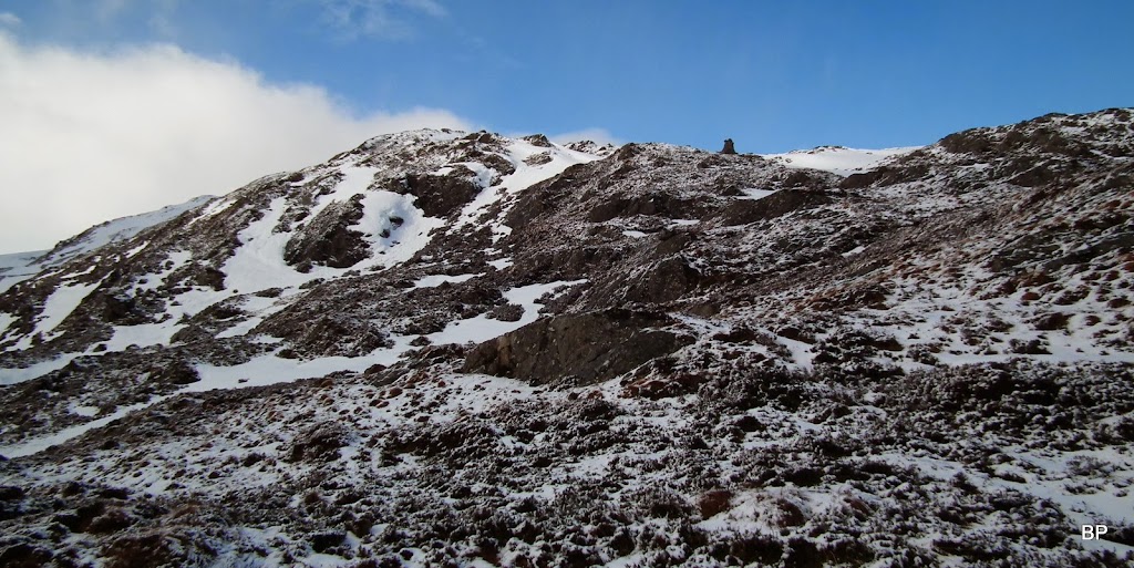
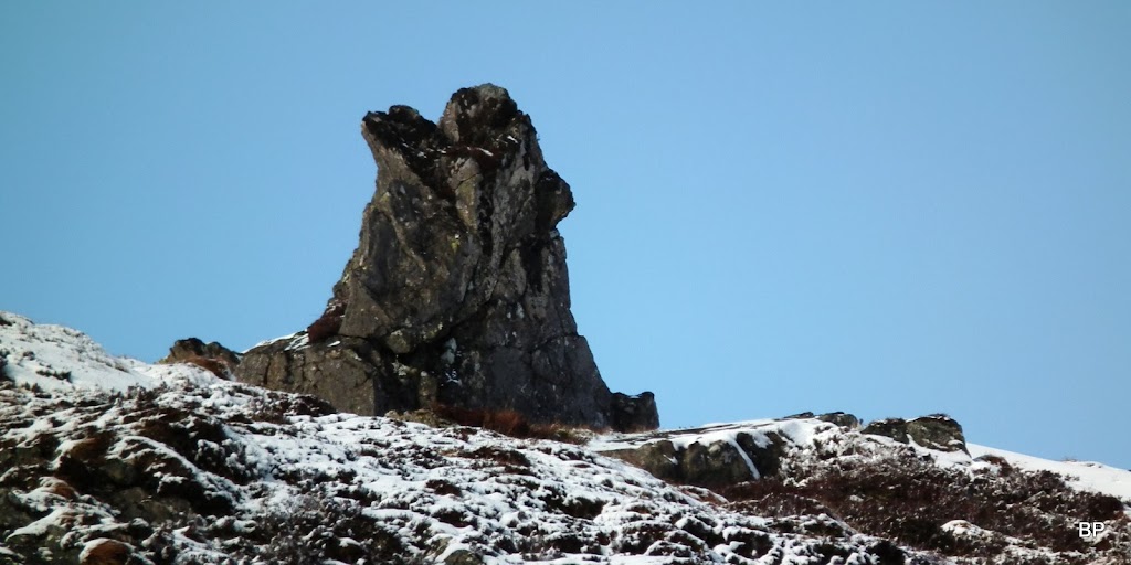
I noticed an odd rock, shaped like a wolf's head, and aimed straight for this feature:
Looking back, the hills to thee east still basked in sunshine, but the weather was definitively breaking. And Kevin still sneezed
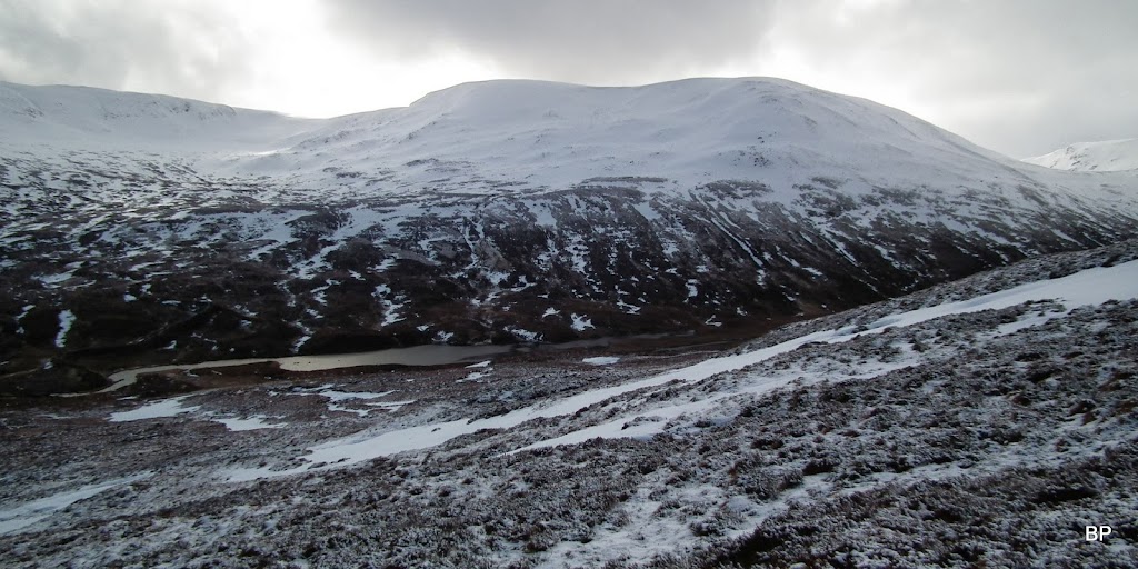
From now on, it was more snow swimming than climbing, but a glimpse behind, towards Loch Beinn a'Mheadhoin, was enough to bring my confidence back:
We climbed on slopes where vegetation was protruding through the snow, at least we knew the white cover wasn't waist deep here... Catching a pose with the wolf's head just above me:
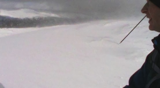
Kevin looking at drifting snow:
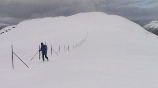
Higher up, snow was knee-deep everywhere and we slowed down to the snail's pace, but kept on going (and sneezing)... Into the white world of snow swimming!
Eventually we reached the eastern summit, Carn Glas Iochdarach. It is actually a Corbett top and well worth climbing for the views. Sadly, it took us much longer than anticipated to get here, so by the time we arrived, most of the views were already disappearing... here is what we managed to catch:
Back to Loch Beinn a'Mheadhoin and the eastern end of the ridge. I imagine, in summertime it must be a great boulder-hopping route! Definitely to re-visit when all that snow is gone!

From the lower top, the true summit of the Corbett still looked far away and with bad weather front coming in, we had a quick chat, wondering whether we should carry on or turn back. I didn't fancy descending back down the deep snow and suggested that we carry on to the col between the two tops. In case weather turned really nasty, we could retreat from the col south into the glen.
The snow on this side of the hill was much more compact and not as deep, so surprisingly, we moved much faster now and soon we concluded that we could just as well carry on to the summit - if we are already here...

Kevin sneezing his way through the white stuff
Just below the summit, against all odds, we walked into sunshine again... Obviously, with cloud drifting around, we had little chance of full summit panorama, but it was shaping up better than expected!
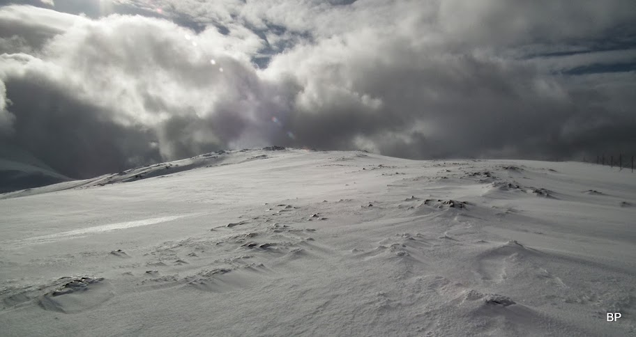
The dark grey cloud lingered above Carn Glas Iochdarach now:
The summit has two cairns, of which the northern one (according to SMC Guide) is the true top of the Corbett. We reached it hoping for some views and were not disappointed. but first - the traditional summit photo:

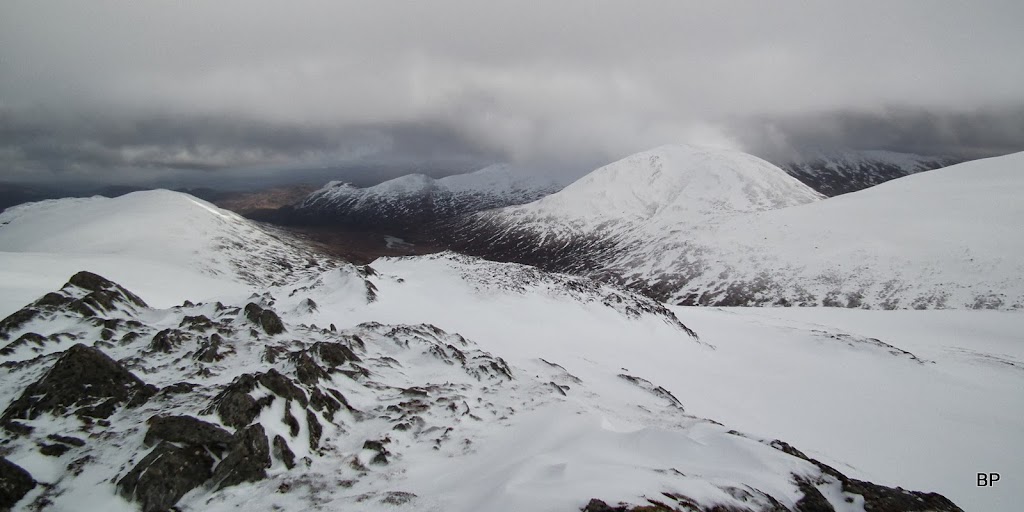
The world around us consisted mostly of shades of gray...
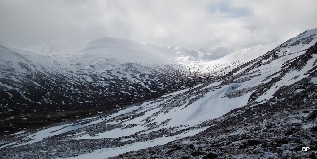
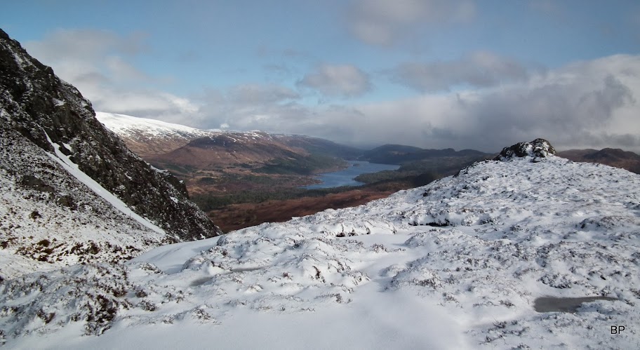
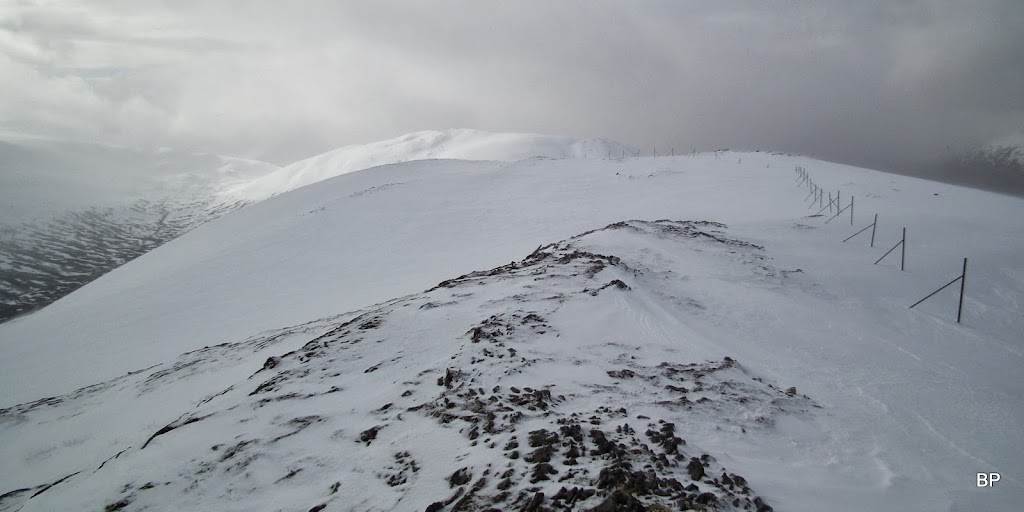
Into upper Glen Affric:

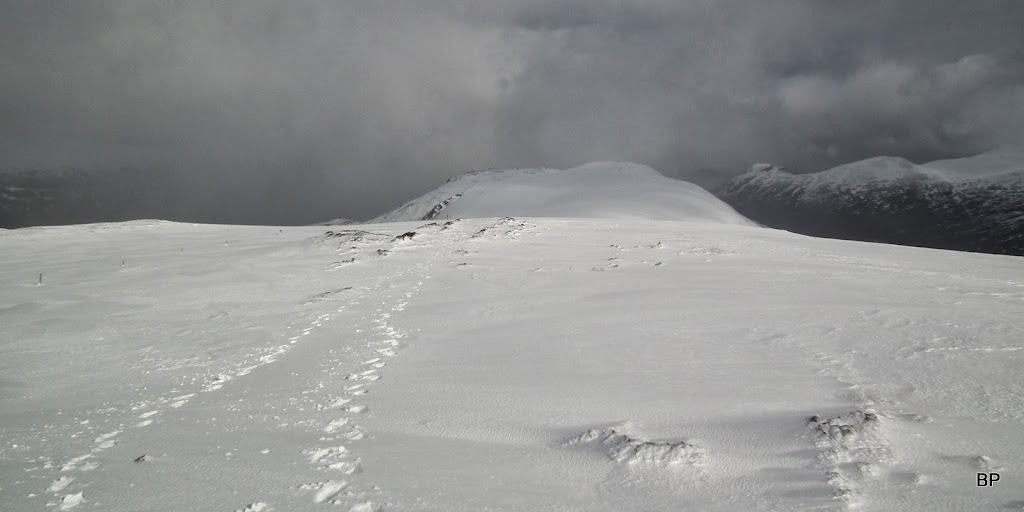
Back along the ridge:

Towards Sgurr na Lapaich:

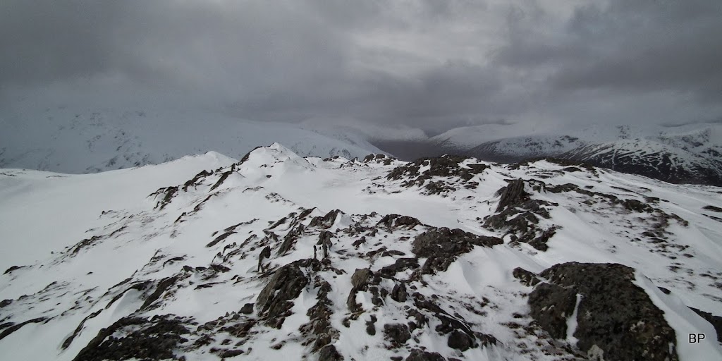
East to the other Corbett, now hidden in cloud... Luckily for us, the worst of the bad cloud stayed over there:
We took a 10min break to wipe runny noses, have a quick warming cuppa and snack and congratulate ourselves on another climbed summit. I know we should improve our Munro count (it has been stuck on 118 for me since November, the only M* this year being a repeat), but we have had so much fun recently on Corbetts and Grahams, that I don't dare complain.
As we gathered our stuff, it started snowing. Visibility wasn't that bad, as we were still below the cloud level, but we agreed that the safest way down was south into the upper Corrie Allt Garbh. mainly because it was getting late and we didn't want to loose daylight while still high on the ridge.
We returned to the col between the two tops, and then took a direct descending route down into the glen, loads of soft snow at first, loads of wet and squelchy ground later
Dry underfoot was not to be that Saturday
Walking became much easier once we reached the banks of Allt Garbh, where we discovered a faint path. Lower down in the glen we came across a few peat hags and had to ford a few streams, eventually we spotted the upper end of the man track in the glen (it goes as far as beyond Loch an Sguid). When we looked back, we were glad that we managed to catch a brighter moment on the summit - it was all grey and cloudy now...
Above Loch an Sguid, looking south towards Aonach Shasuinn:

The track is very muddy, nothing unusual in Scotland...

...but it took us back to the wooden bridge and the much awaited boggy path back to Glen Affric. We even managed to get back to the car park before it got dark. Another day out there, another mountain ticked. Life's worth living. Meow!
Summing up: not a typical "quickie" as the whole circuit is over 20km, but as we proved, a good hill for winter walking. If it wasn't for the deep snow, we would rather have returned along the ridge than descend into the boggy glen. I'd like to visit this mountain again on a better day weather-wise, possibly do the two-Corbett circuit in summertime. Carn a'Choire Ghairbh gets 9 out of 10, one point less for the infamous wet approach.
Since Saturday Kevin has mostly recovered from the virus, but he passed the nasty stuff on to me. I hope I'll beat it till the end of the week, but for now, I'm going back to bed, lemon tea and aspirin. A-choo!
