free to be able to rate and comment on reports (as well as access 1:25000 mapping).
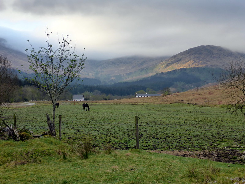
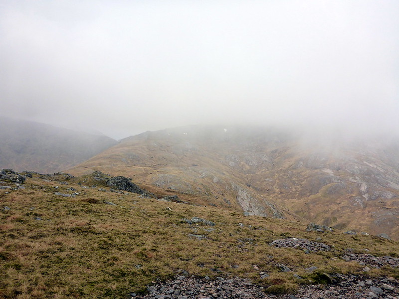
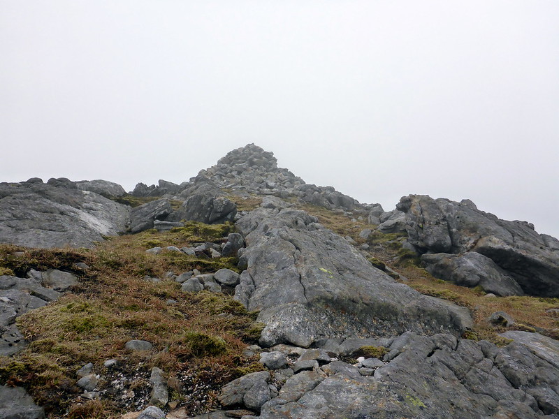
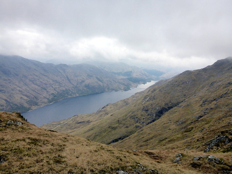
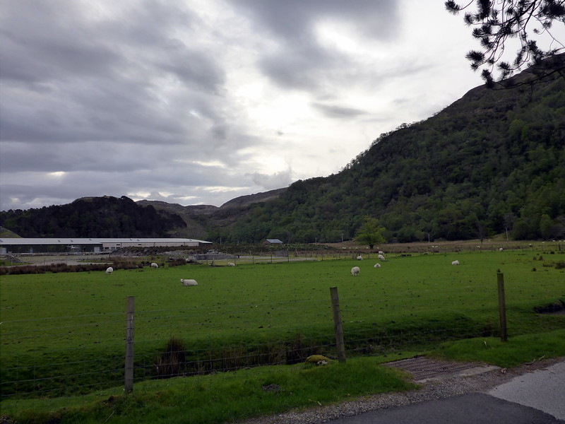
Part 2 of my week in the hills saw me on my own, resident in Loch Linnhe Caravan Park (probably the best showers of any caravan site) and intending to do some Corbetts. Sleep had been hard to come by on Tuesday night due to works going on in the nearby Industrial Estate until after 3am - what on earth were they doing until that time? Anyway, up early and one of the blissful showers (my first since friday...) and off to Callop to climb 3 relatively unpronounceable hills: Sgorr Craobh a'Chaorain; Sgurr Ghiubhsachain and Stob a'Bealach an Sgriodain (to give Druim Tarsuinn its proper name). Parked by the river in the parking area and set off to walk to the hydro station past a field of horses. Mountain tops were covered in cloud but it was dry and fairly warm. At the end of the proper track there's a muddy path that leads uphill to the R, signposted for Glen Cona. Through a gate, a little way along the hillside then a stick marks the start of the steep pathless ascent of Meall Cuartaige. Straight on, over increasingly rocky ground to the first summit, SCaC. Some care was needed in the clag to avoid crags immediately west of the summit, and the first 50m descent is steep scree. I could make out a grassy spine stretching to the NW and followed this, picking up a faint path. Ahead I could see the slabby face of Sgurr Ghiubhsachain looming through the mist. Some easy scrambling led to the summit cairn, then I followed the SW shoulder to Meall nan Creag Leac, where I met Richard coming in the opposite direction. He was raising money for prostate cancer by climbing 150 Munros and Corbetts over the next 2 months and playing a tune he's composed to each hill on his fiddle on the summit - as his plans include the InPinn it should be interesting! You may encounter him between now and July
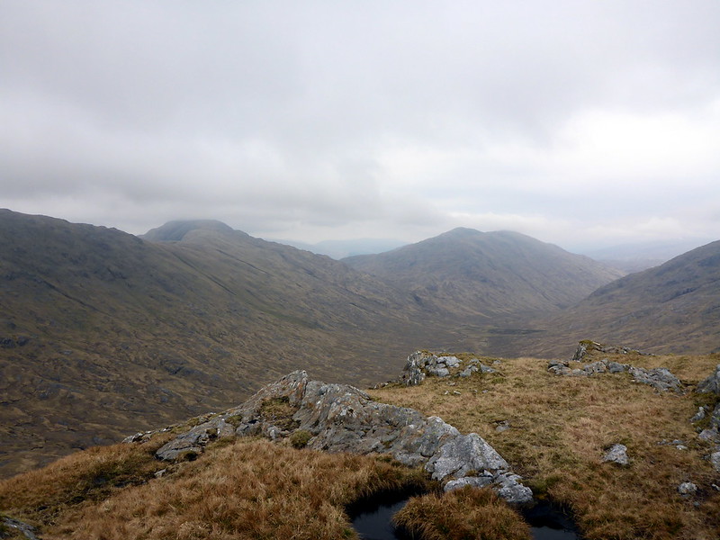
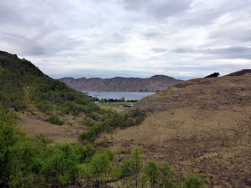
http://www.justgiving.com/FiddlingTheMunrosAnyway, after a chat we went our separate ways and I dropped down to the bealach before Druim Tarsuinn where I found a sheltered spot for some lunch. Moving on I followed thefence posts, almost getting lost and following the southern spur to Teanga Corrach before correcting myself and heading for Sa'BaS - dropped my pack at the bealach and headed up another steep rocky slope to the cairn-less top. Rather than continue along the ridge eastwards I decided to descend from the bealach back into the glen. There are some steep sided gorge areas to avoid to the E and I made for the river, more by accident than design crossing just where the track on the other side begins. It was hard work keeping sight of the path as it disappeared into bog or heather and it included an annoying amount of re-ascent as it skirted up to pass round Meall nan Damh. Eventually it became more distinct, if no less waterlogged and returned me to the stick marker and the approach route. By this time the rain had started to become persistent and I abandoned any thought of going on to do more hills that day. I headed to the Glenfinnan Visitor Centre thinking I might get a quiet cup of coffee, but it was hoaching with coaches and cars so I about turned and returned instead to my tent for a wet, cheerless evening.
Start out
 P1010456
 by
23weasels, on Flickr
 P1010457
 by
23weasels, on Flickr
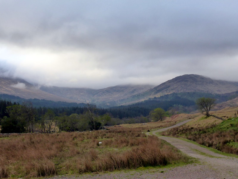
Track
 P1010458
 by
23weasels, on Flickr
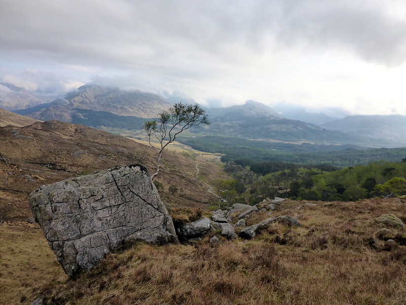
View N
 P1010459
 by
23weasels, on Flickr
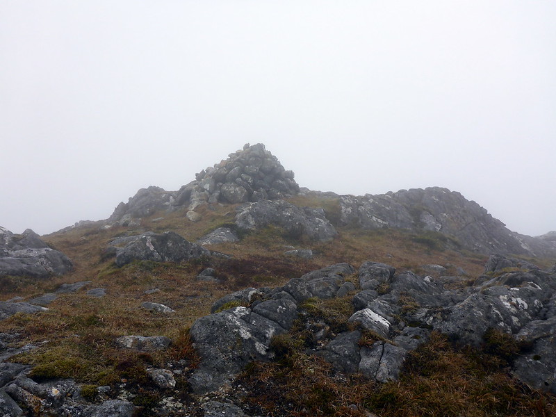
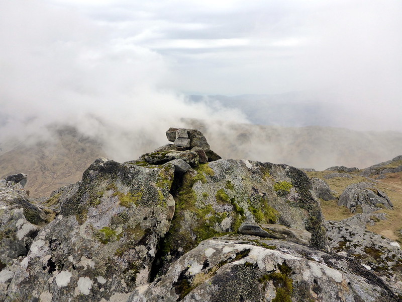
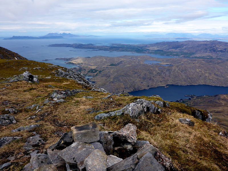
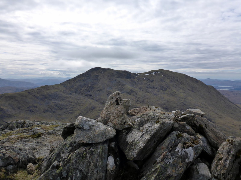
Top SCaC
 P1010462
 by
23weasels, on Flickr
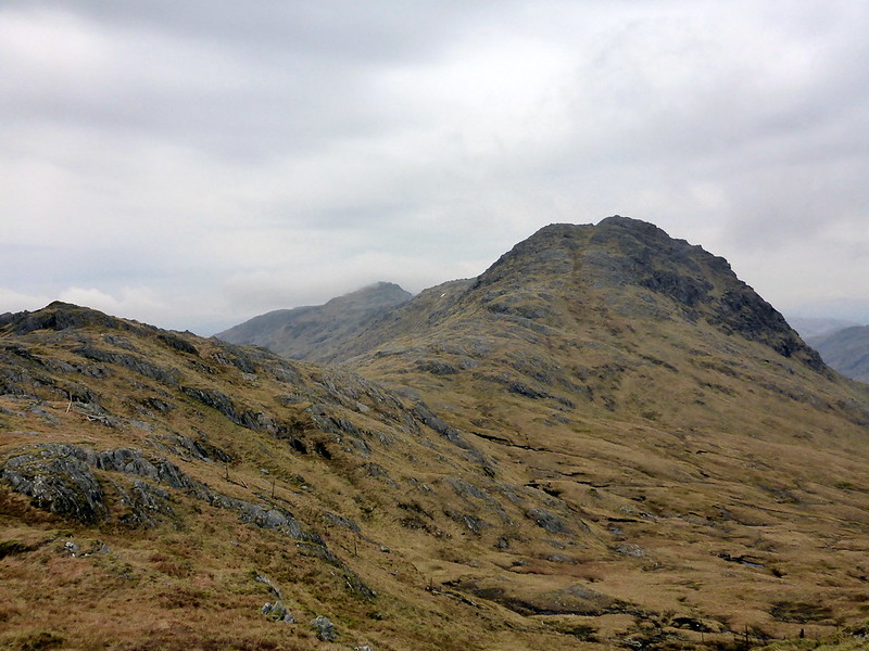
Towards SG
 P1010464
 by
23weasels, on Flickr
Top SG
 P1010467
 by
23weasels, on Flickr
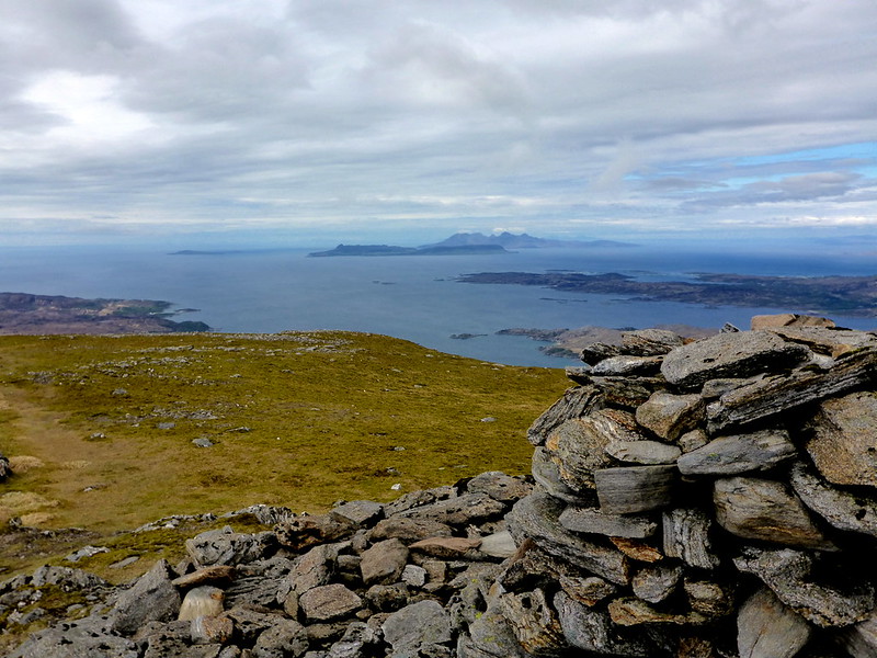
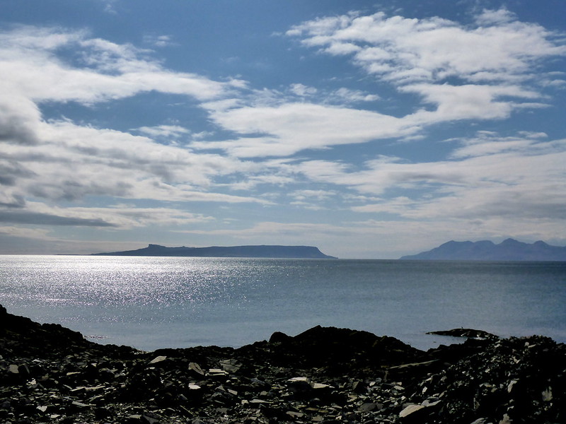
Loch Shiel
 P1010470
 by
23weasels, on Flickr
 P1010471
 by
23weasels, on Flickr
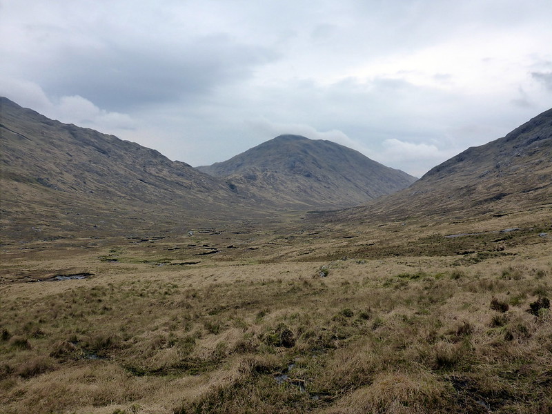
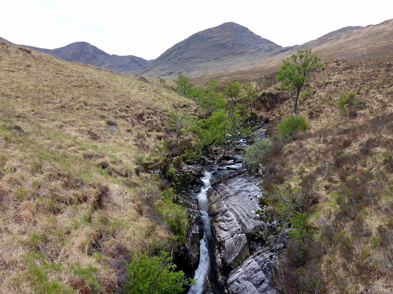
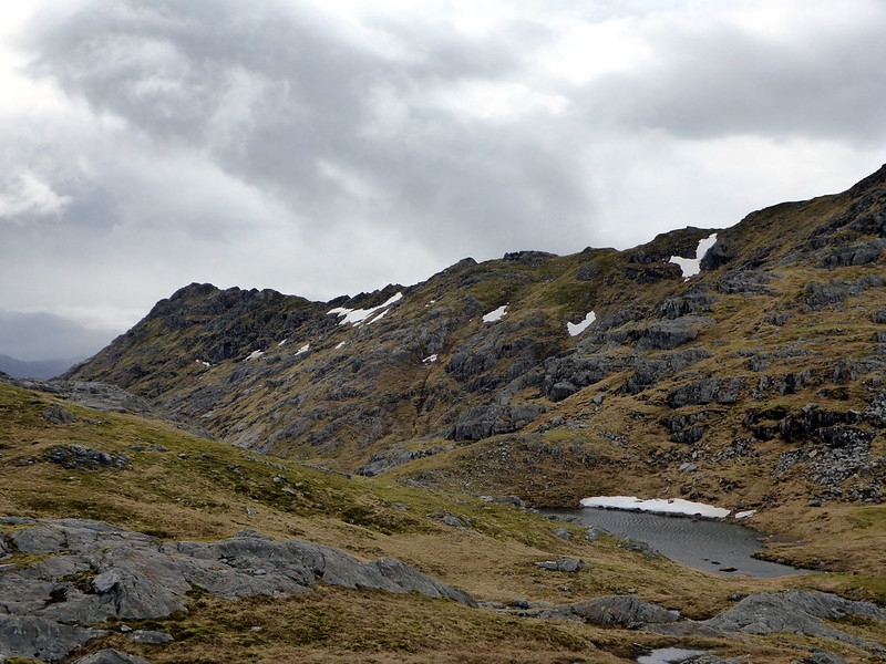
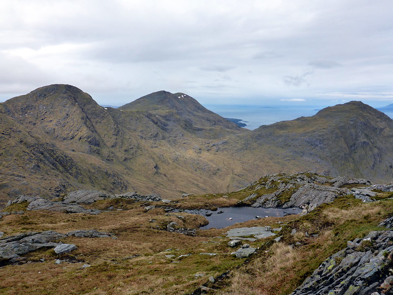
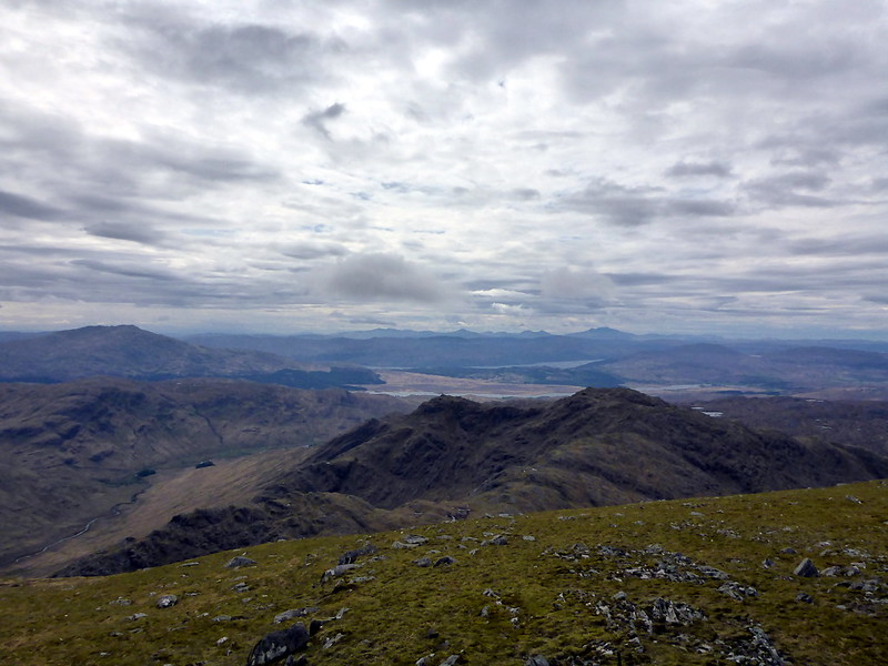
View to SG and SCaC from bealach sgriodain
 P1010474
 by
23weasels, on Flickr
SaBaC
 P1010476
 by
23weasels, on Flickr
Summit #3
 P1010477
 by
23weasels, on Flickr
Back to the glen
 P1010478
 by
23weasels, on Flickr
stats
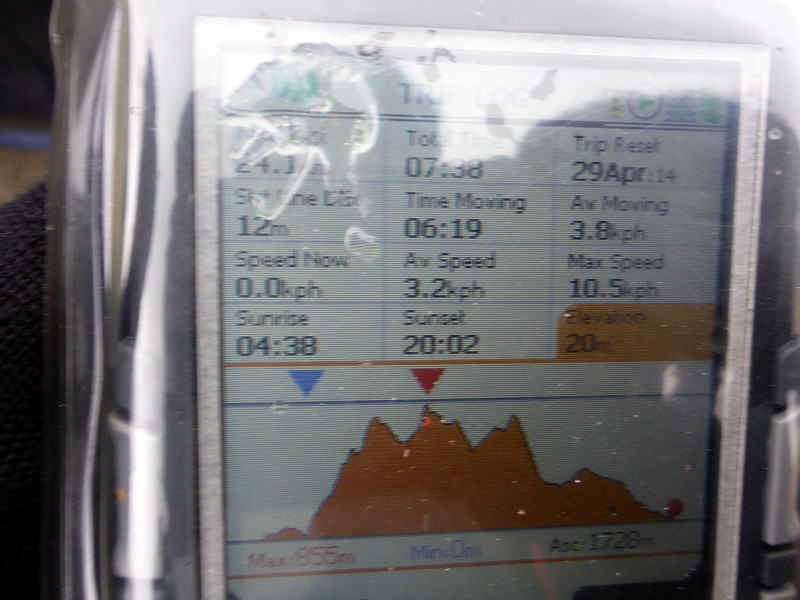 P1010479
 by
23weasels, on Flickr
Time 7h 38; Distance 24.3 Km; Ascent 1720
Day 2 of the Corbetting adventure saw me move west to Inverailort to climb the circuit of 3 Rois Beinn hills. I'd read about the great views off to the west coast and was a bit dismayed by another cloudy morning. Arrived at the estate at around 7.40 and got set to go, the first move being to skirt round an enormous Marine Hatchery building. I followed the track past Glenshian Lodge, beside the river up to Tom Odhar. a muddy, churned up ATV track heads for the Allt a Bhuiridh and I set off across the pathless hillside, through heather and bog. The SMC guide recommends taking a bearing for the wee lochan north of Beinn Coire nan Gall, which is what I did - the going quite steep up the hillside. I was now exposed to the full force of the easterly wind and icy cold it was too - 4 layers of clothing, 2 pairs of gloves and the weasel hat were required, the memories of scorching on Slioch just a couple of days before seemed distant now.
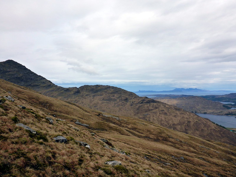
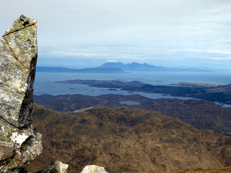
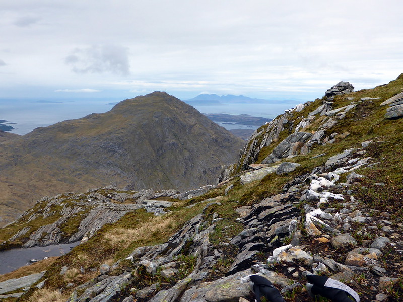
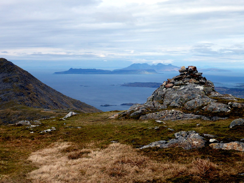
A clear path now took me up to Druim Fiaclach - the "toothed ridge" although it was the other, SW ridge that I'd take off the hill to an t-Slat-bheinn. Bits of scrambling over rough rocky outcrops disturbed a raven from its spied and it croaked a greeting before flying off. The wind wasn't lessening any and I was glad I'd kept warm clothes in my kit. I could now see the first Corbett, Sgurr na Ba Glaise, ahead stretching along a grassy ridge and with a little effort the summit was reached. This had taken about 4 hours. I found a sheltered spot on descending to bealach fhiona and had lunch, before pressing on west to Rois Beinn, with views of Rum & Eigg ahead, Skye mostly obscured by cloud. Following the drystane dyke up to the true summit cairn, I dropped my pack and headed on to the western top with its large cairn, where views out to sea and south to Moidart were superb. On returning to the bealach I headed down from the large cairn marker, but probably should have just followed the steeper line of the wall as less height would have been surrendered. It was still a steep and slippy path down to around 500m before starting to climb again to the slopes of the third Corbett, An Stac, another 300-odd metres of ascent. Again there were great views from the top, even a bit of blue sky. I then picked a path northwards off the hill, going round crags and outcrops and heading round the E side of Sean Chruach to rejoin the ATV track I'd come up on. Must have gone astray at some point as I followed this track northwards toward the Allt an-t Saigart, passing a quaint castellated family burial ground for the Cameron-Heads then through the grounds of Glenshian House and back to the car. Sun was out now and I fancied a wee drive up to Mallaig (never been before) via a stop at the sands of Monar. Enjoyed a cracking fish supper from Jaffy's on the rocks by the harbour, looking out to Skye and thinking that all going well I should be out there in a month's time.
Beginning of walk
 P1010480
 by
23weasels, on Flickr
View back to Lochailort from Tom Odhar
 P1010481
 by
23weasels, on Flickr
 P1010482
 by
23weasels, on Flickr
Ascending the hillside
 P1010484
 by
23weasels, on Flickr
 P1010485
 by
23weasels, on Flickr
RB & AS
 P1010486
 by
23weasels, on Flickr
View to Druim Fiaclach
 P1010488
 by
23weasels, on Flickr
 P1010490
 by
23weasels, on Flickr
Top Druim Fiaclach
 P1010492
 by
23weasels, on Flickr
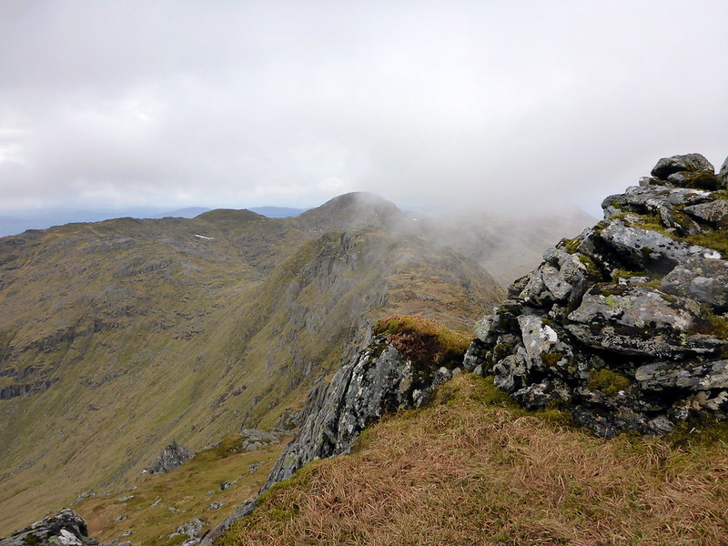
The three Corbetts
 P1010495
 by
23weasels, on Flickr
 P1010496
 by
23weasels, on Flickr
Summit SaBG
 P1010500
 by
23weasels, on Flickr
Wall up to RB
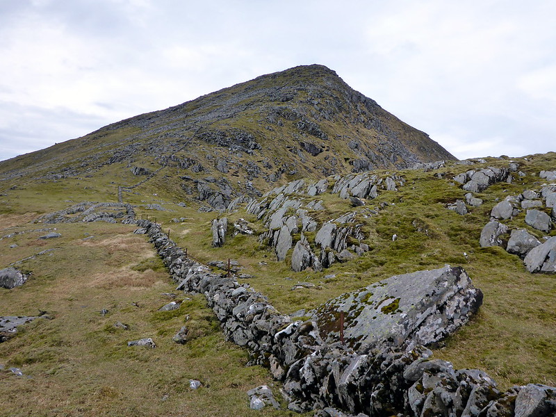 P1010502
 by
23weasels, on Flickr
Cairn RB
 P1010504
 by
23weasels, on Flickr
View from W Cairn RB
 P1010505
 by
23weasels, on Flickr
Back to SaBG
 P1010506
 by
23weasels, on Flickr
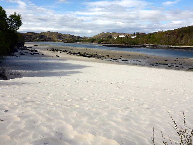
Sweet beach
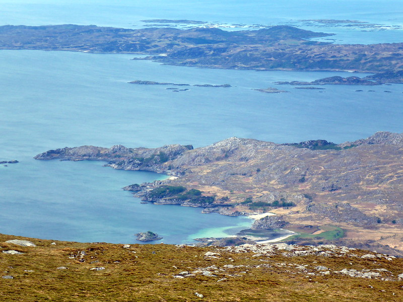 P1010507
 by
23weasels, on Flickr
Ascending An Stac
 P1010509
 by
23weasels, on Flickr
Summit AS
 P1010510
 by
23weasels, on Flickr
 P1010511
 by
23weasels, on Flickr
Skye
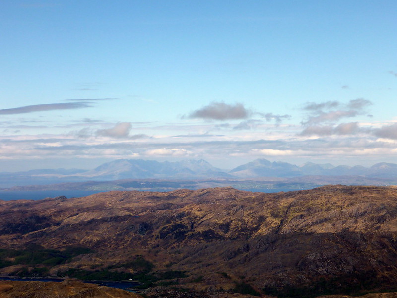 P1010512
 by
23weasels, on Flickr
Crawlie
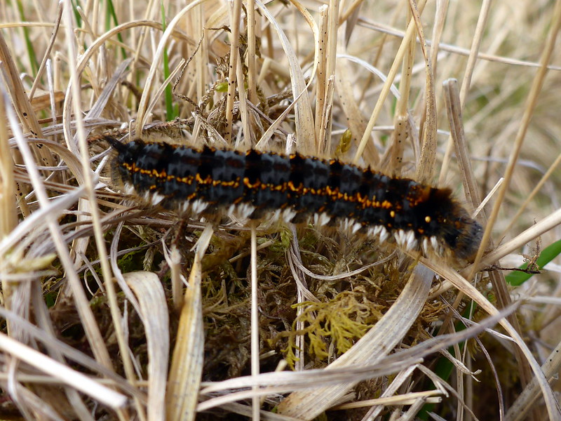 P1010514
 by
23weasels, on Flickr
Stats (guess who forgot to switch on til 500m up the hill!)
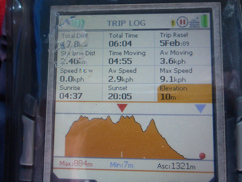 P1010515
 by
23weasels, on Flickr
 P1010516
 by
23weasels, on Flickr
Sands of Monar
 P1010517
 by
23weasels, on Flickr
 P1010518
 by
23weasels, on Flickr
View to Skye from Mallaig
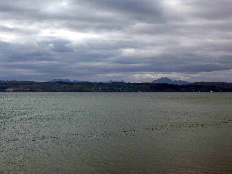 P1010519
 by
23weasels, on Flickr
Time 7h30; Distance 19.5 Km; Ascent 1321m
