free to be able to rate and comment on reports (as well as access 1:25000 mapping).
This steep bump in the ground had been on my radar for post-winter bagging. With the snow clinging on until not so long ago, it was time to deal with the small matter of Ben Vane. Our forecast was May sunshine between high clouds. An accurate forecast as it turned out, good walking weather in that it was warm without being hot, and breezy without being a chilling wind.
by
MekonVengence, on Flickr
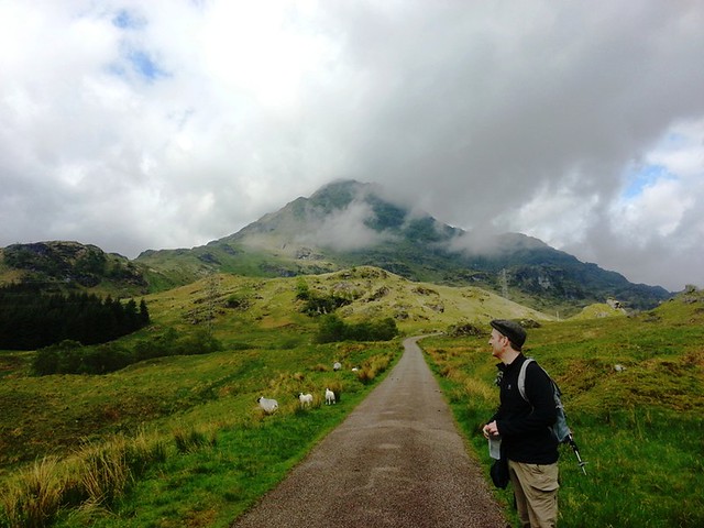
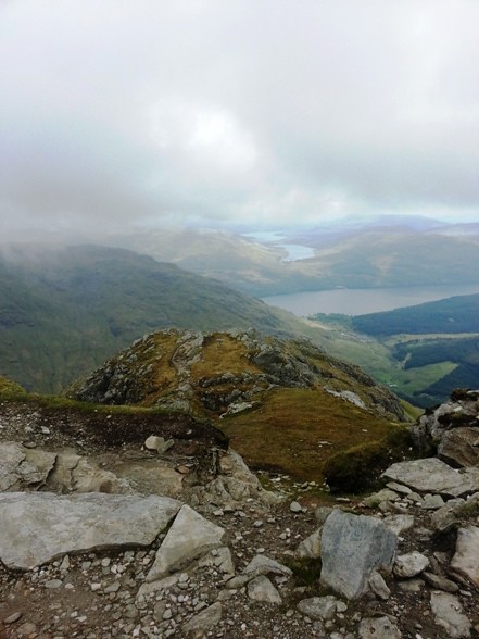
Cloud cleared quickly and the summit was clear well before we arrived and stayed that way long after. I followed the well described walk highlands route, plodding up the road toward Loch Sloy dam and getting that early morning thigh burn out the way.
by
MekonVengence, on Flickr
Turning to the left, the forest track was followed until the small bridge where we took the second of the paths to come onto the shoulder via the left hand side. This was a good warm up for sure but you could see mean-old Ben Vane looking all "steep and knarly" once upon the shoulder proper. It was not going to be easy going. The path was pretty well defined, eroded in places, but soon you rise above the wet grass and start to follow a solid zig zagging (well) trodden route. The route is obvious as you look ahead and upwards, until it reaches a huge crag outcrop, which it then snakes around. Once you get up a bit closer you see the path continue in it's zigzag lines and you move forward with renewed confidence. This stretch 300-600 is steep but no scrambles really worthy of the name, sometime you pull yourself up a double step of rock, but it's generally ok. At times it felt quite exposed as the grass slopes fell away steeply just inches from the path. Just after 600 it flattens out and then you take a massive dogleg to the left to continue - it's a good spot to stop for breather and a bite to eat before following the dogleg.
by
MekonVengence, on Flickr
A'Chrois, you sexy beast

by
MekonVengence, on Flickr
Continuing on, there are some interesting sections where you pull up through tighter gaps with walls of rock in touching distance either side of you, the path still well defined. You clamber over the first of 2 false summits after this section. The next section and rise to the second false summit is not as steep over the distance, but still has shorter steep bits, however these are not as exposed. Around here I opted into a scramble I'd rather have missed, being shorter I couldn't pull off the maneuver required, and unfortunately this was in an exposed gap in rocks. My taller walking buddy was already up and he spotted an alternative - so I backtracked down 5m and stepped over a gap in the rocks and found a much more controlled series of rocks to step up and continue.
The final push was the sneakiest bit of the hike, faced with about 30m to go, a wall of rock appeared, I suggested a rocky path to my mate, which he took; then i didn't fancy it, and went for some mud steps. This was a real arch-clenching moment as the ground really fell away below me and you only had one footstep's width to play with. With a few zig zags (and a leap of faith) I hauled myself over the brow and relaxed those cheeks. There was a much better route to the right - but we only saw that on the way back down

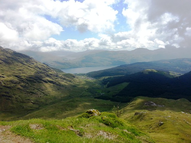
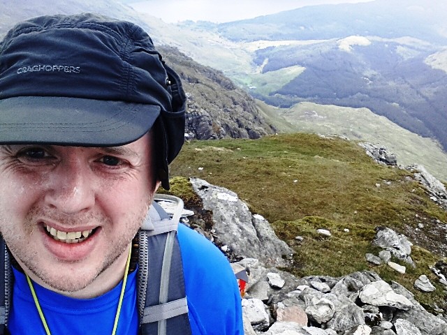
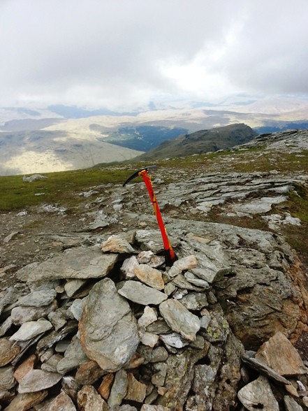
Passing up the opportunity of a break, I headed straight for the summit, the cairn was visible about 10m above. Views were pretty darn good although some cloud had settled about 850m over the simply beautiful A'Chrois, Ben Narnairn and higher yet on Beinn Ime, but Ben Vane stayed clear as was Ben Vorlich.
by
MekonVengence, on Flickr

by
MekonVengence, on Flickr
by
MekonVengence, on Flickr
better visit that other cairn just in case...
by
MekonVengence, on Flickr
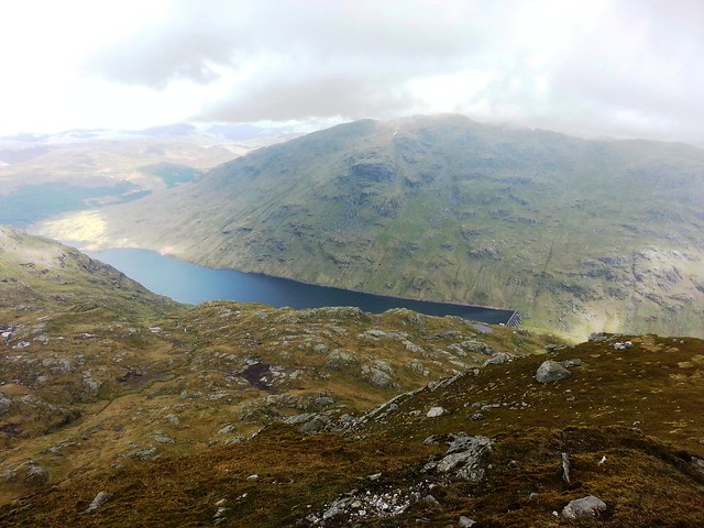
I enjoyed lunch sitting down watching Loch Sloy.
by
MekonVengence, on Flickr
We turned tail and headed back down, missing all the awkward scrambles without actually noticing. Hard work going down given the steepness, I tracked the same 1 km section at 54 mins up and 50 mins down - so that indicates the care required. Both false summits hide the shoulder, but once cleared you make better time. The shoulder, and the wet ground it holds, are highly visible. Not before too long we got to the final drop down and onto the road.
The tarmac gave my feet and stiff boots a killing on the way out. I thumbed a lift down the walkout from the friendly farmer, which may be a WH first (going up a mountain then getting a lift from the person who basically owns that hill). But a great day at a good pace for me. I now have my Arrochar Munros done, with a few Corbetts left to do, now I'll cast my eye northward to Crianlarich.
