free to be able to rate and comment on reports (as well as access 1:25000 mapping).
I have always had a romantic notion that Sgurr na Ciche had to be climbed from its seaward side. I think this arose from a photo I once saw of it from Loch Nevis. This notion did however run up against the twin problems of the difficult access and the notoriously fickle weather. The latter meant this trip was not something you could plan; it had to be a case of just seizing the moment. Thus standing in a gloomy Fort William with noticeably better weather out west and the promise of slight easterly winds (albeit with showers) we decided to go for it.
We drove over to Mallaig and after sorting out a boat for the next day we set up our tents at Back of Keppoch and stoked up the calories at The Arisaig Hotel.
[img
 IMG_1956
 by
price249, on Flickr[/img]
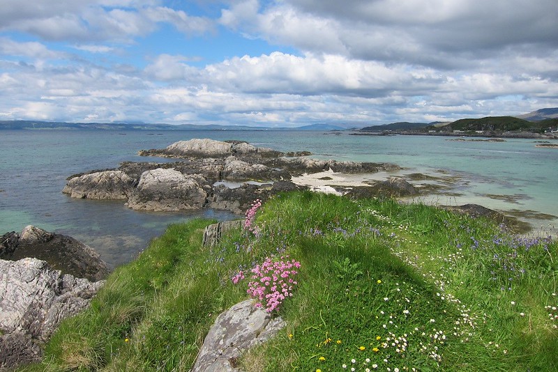
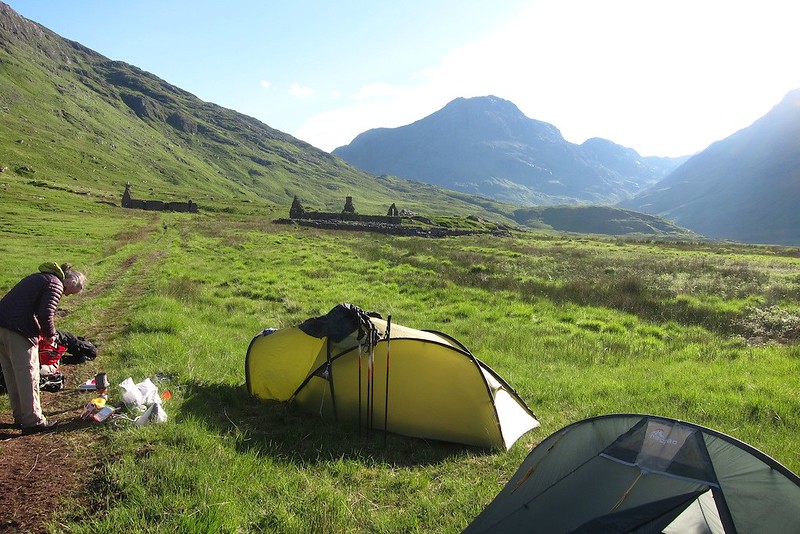
view from the campsite[img
 IMG_1958
 by
price249, on Flickr[/img]
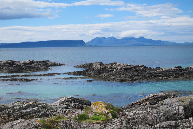
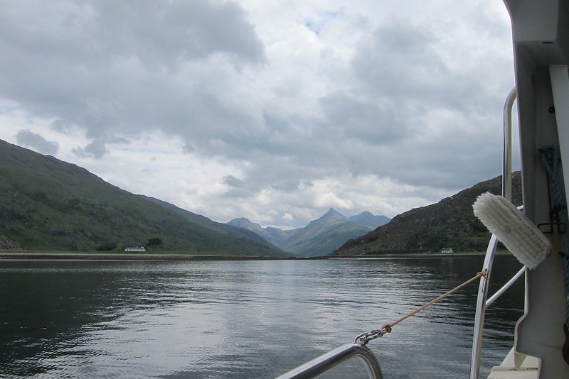
Rhum from the campsiteNext morning we weren't due to get the boat till a rather late 10.30 but it was the best we could manage. The weather wasn't as good as I'd hoped but we had cast the dice and were committed now so we set off up Loch Nevis. The party consisted of myself, my wife, my son and our dog.
[img
 IMG_1969
 by
price249, on Flickr[/img]
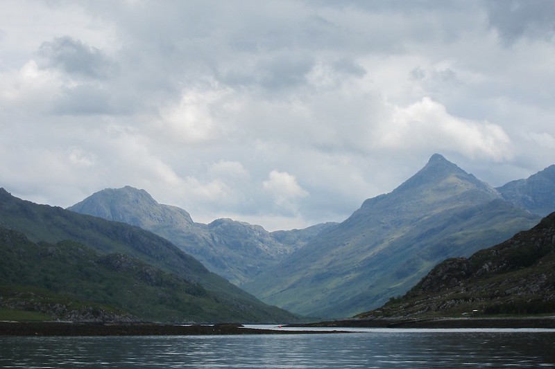
Going up Loch Nevis approaching Kylesknoydart[img
 IMG_1970
 by
price249, on Flickr[/img]
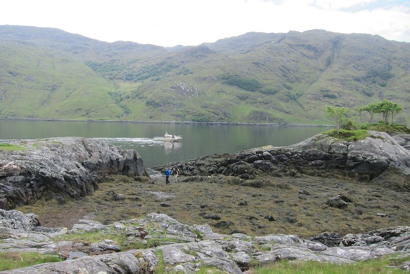
Sgurr na Ciche (zoom)We had been told the boat could not land at Camusrory pier as it was private so they would have to drop us off on some rocks. It was a little bit of a scramble but not a problem if you had faith in the adhesive abilities of limpets - the key is to put your weight on gradually so you don't take them by surprise. What was a bit more of a problem - laden as we were with camping gear and food - was that the rocks were tidal. The good news was that the tide was out; the bad news was that we had to negotiate a number of little ravines full of smelly seaweed.
[img
 IMG_1976
 by
price249, on Flickr[/img]
Landing on An Corr-eilean[img
 IMG_1979
 by
price249, on Flickr[/img]
Marooned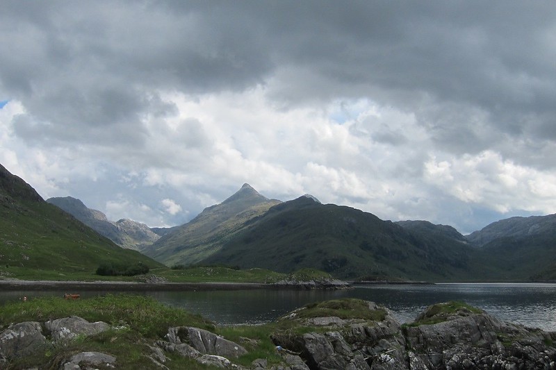 IMG_1980
 by
price249, on Flickr[/img]
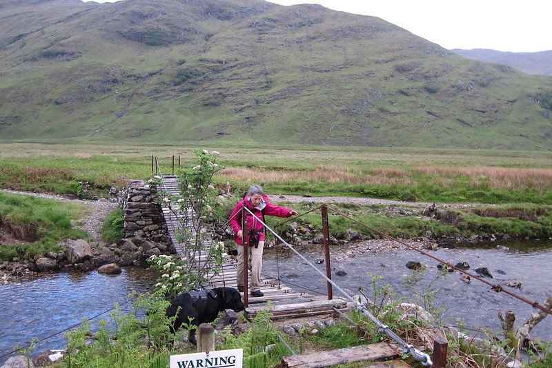
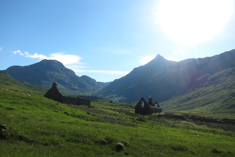
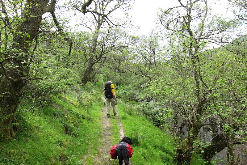
Sgurr na Ciche again After that a very rough path took us to Camusrory pier where we picked up a land rover track to Camusrory itself. We then headed inland up a better track to Carnoch and the 'bridge'. We pitched camp here and had a bite to eat.
[img
 IMG_1981
 by
price249, on Flickr[/img]
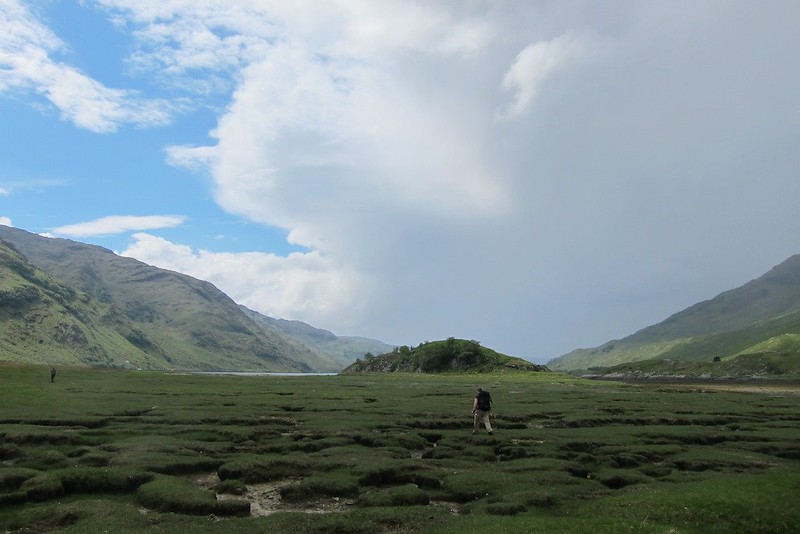
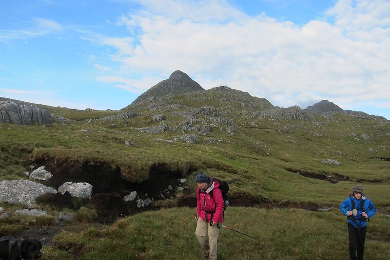
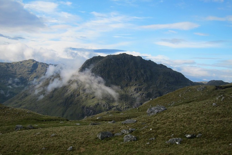
Ben AdenIt was therefore 1pm before we set off on our walk but still with a good 10 hours of daylight ahead. With lighter packs we crossed the bridge and set off across what Tim (a Lord of the Rings fan) called the Dead Marshes - not too bad but it was hard to go in a straight line. The tide was out so we were able to get to Sourlies bothy the easy way via the beach. We really were doing this from sea level.
[img
 IMG_1982
 by
price249, on Flickr[/img]
Crossing the dead marrshes[img
 IMG_1992
 by
price249, on Flickr[/img]
Nice rocks on the beach[img
 IMG_1996
 by
price249, on Flickr[/img]
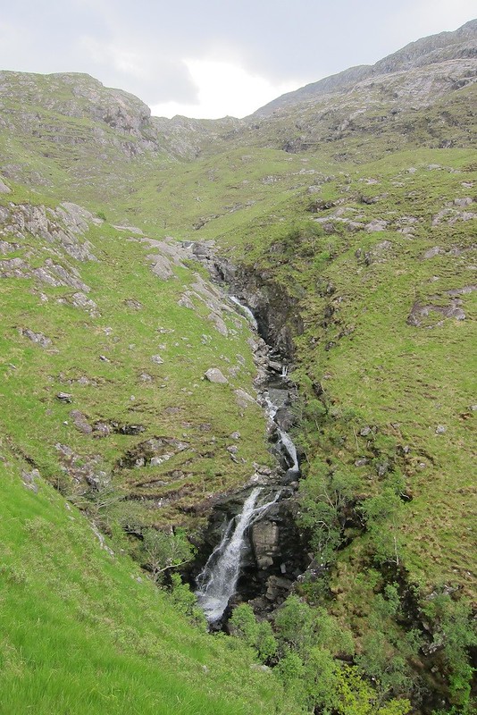
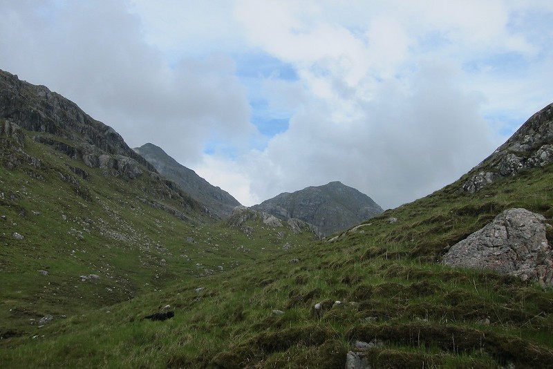
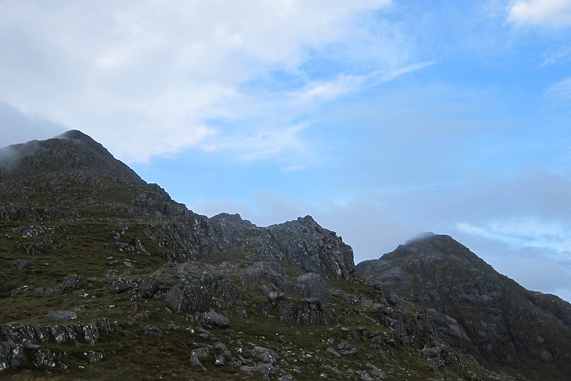
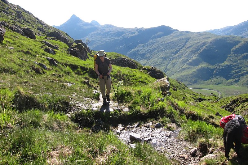
Sourlies bothyFrom the bothy we headed up the track to Glen Dessary. By 2pm we were at an impressive 6 metres above sea level but then we started climbing. On this side the track is well constructed and makes height easily in a series of zigzags, passing a couple of impressive waterfalls. Higher up a small cairn marked a stalker's track going up into Coire na Ciche. The track was little used but gave good easy going. It dropped a little into the hidden lower coire and crossed to the stream at the back before disappearing. The next kilometre or so was rough and wet with a path of sorts but we finally got a look at the tops. The ground firmed up and became easy again and we followed an ATV track out of the coire. Unfortunately Loch Nevis now disappeared and a wall of black replaced it. We hoped that with an easterly wind it would stay there. No such luck. The wind changed to the west and we got a wetting and were in thick clag. We cut across to the normal route to/from Glen Dessary and climbed the rocky gully. This made for easy routefinding but was absolutely dripping wet. It looked well set in so we were elated to get to the bealach and see views down into Glen Quoich.
[img
 IMG_1997
 by
price249, on Flickr[/img]
[img
 IMG_1998
 by
price249, on Flickr[/img]
[img
 IMG_1999
 by
price249, on Flickr[/img]
[img
 IMG_2003
 by
price249, on Flickr[/img]
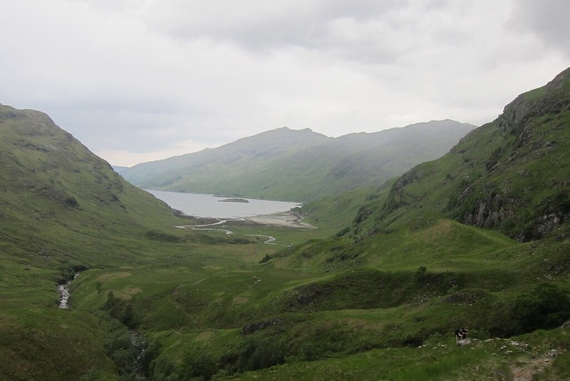
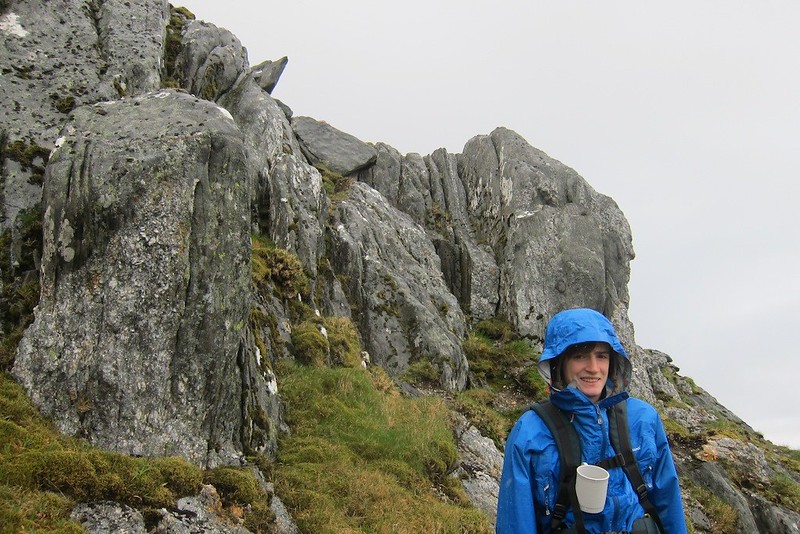
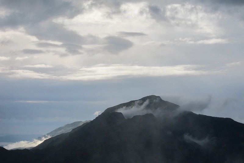
In coire na ciche with the peaks finally in sight[img
 IMG_2006
 by
price249, on Flickr[/img]
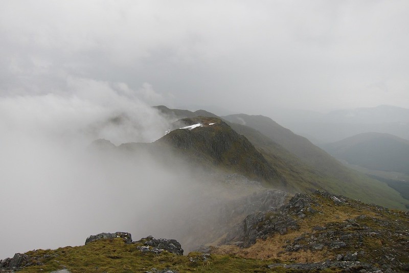
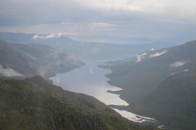
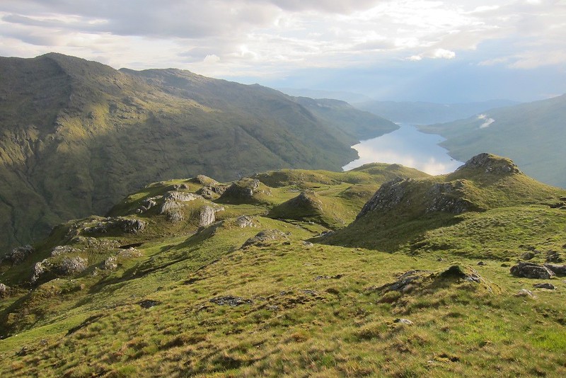
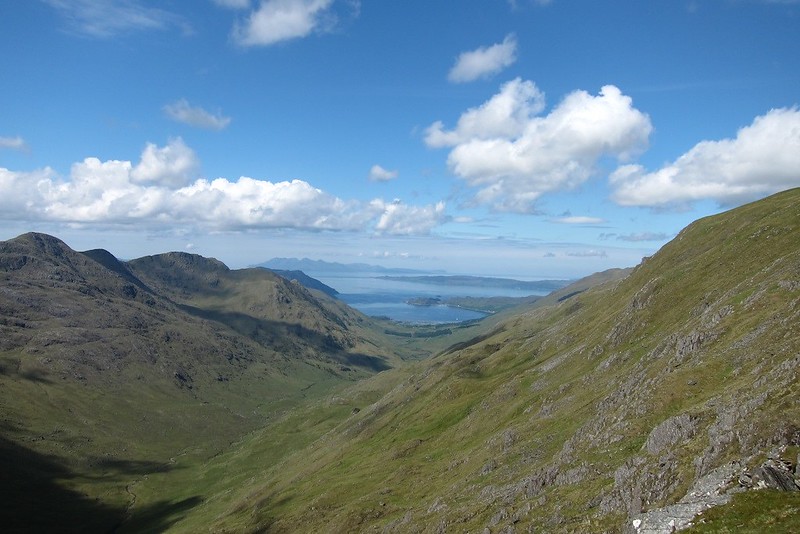
Loch Quoich from the bealachThe peaks were clearing as we went up Garbh Chioch Mhor . It was slow going because it was rocky and wet but we were soon on top. There was mist coming and going but it made the hills more atmospheric.
[img
 IMG_2007
 by
price249, on Flickr[/img]
A sleeping dragon[img
 IMG_2008
 by
price249, on Flickr[/img]
Sgurr na Ciche[img
 IMG_2009
 by
price249, on Flickr[/img]
Loch Quoich[img
 IMG_2010
 by
price249, on Flickr[/img]
Looking east from summit of GCM[img
 IMG_2011
 by
price249, on Flickr[/img]
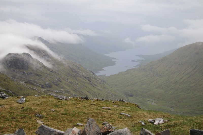
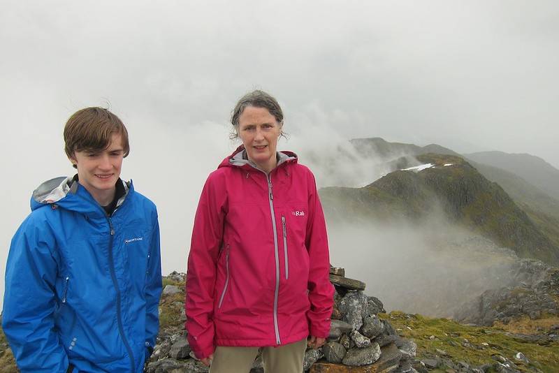
summit photoAfter returning to the bealach we started the steep climb to Sgurr na Ciche which disappointedly had its head in cloud again. At the top of the steep bit there was a sudden clearing towards Loch Quoich but the summit itself was clagged up and as it was about 7 pm we couldn't hang about.
[img
 IMG_2015
 by
price249, on Flickr[/img]
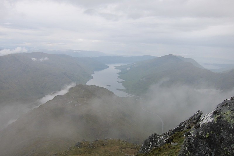
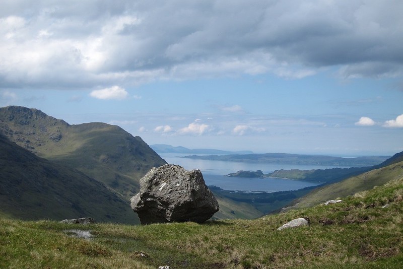
Loch Quoich from the shoulderWe started the descent of the west ridge in very poor visibility but got to a dead end that was too dangerous in the wet so we had to go back up. A more southerly line showed more promise but we got to a steep bit the dog could not get down. I had been a bit bothered about this bit so had brought a short rope and the dog had a harness; so we roped her down with little fuss. Sod's law dictated that the summit then cleared and blue skies returned. Well we had had the full experience and were content.
[img
 IMG_2017
 by
price249, on Flickr[/img]
below the bad step[img
 IMG_2019
 by
price249, on Flickr[/img]
Summit starting to clear[img
 IMG_2020
 by
price249, on Flickr[/img]
Loch Nevis[img
 IMG_2021
 by
price249, on Flickr[/img]
Ben Bhuidhe and Meall Buidhe[img
 IMG_2022
 by
price249, on Flickr[/img]
Ben Bhuidhe smoking like a volcano (zoom)[img
 IMG_2023
 by
price249, on Flickr[/img]
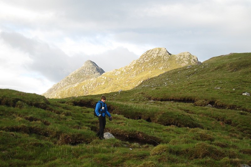
Looking back up at the 2 peaks[img
 IMG_2028
 by
price249, on Flickr[/img]
ditto[img
 IMG_2029
 by
price249, on Flickr[/img]
Ben Aden[img
 IMG_2030
 by
price249, on Flickr[/img]
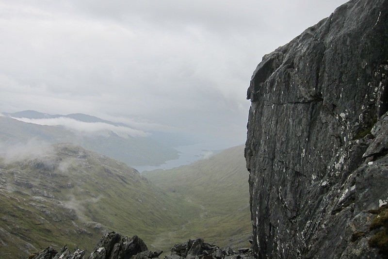
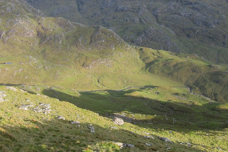
Looking down on lower coire na ciche. The stalkers track is just visible going horizontally across the middle of the photo[img
 IMG_2031
 by
price249, on Flickr[/img]
more bumpy bits[img
 IMG_2034
 by
price249, on Flickr[/img]
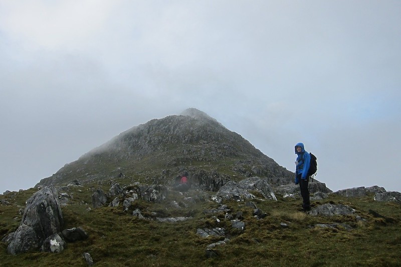
Evening sun on Sgurr na Ciche[img
 IMG_2036
 by
price249, on Flickr[/img]
back at the bridgeThe rest of the descent was not difficult but seemed endless with a lot of annoying little ups. Lower down it got tussocky and although the plan had been to follow the ridge back to the sea we spotted a shortcut back to Carnoch which missed out the dead marshes and we took that. It was a fairly weary party that got back to camp at about 9.30 pm. With no wind and light drizzle it was midge hell until we were in the tents. We slept very well despite the bumpy ground.
The next morning was brilliant - literally. We were woken by bright sunshine which dried off the tents.
[img
 IMG_2039
 by
price249, on Flickr[/img]
Ben Aden from the camp[img
 IMG_2041
 by
price249, on Flickr[/img]
Carnoch in the morning lightAs the way out was over a 549 metre bealach and as we were fairly heavily laden we wanted to be away before it got too hot. It was a pleasantly graded path with glorious views and streams for refreshment so it was easier than expected.
[img
 IMG_2044
 by
price249, on Flickr[/img]
[img
 IMG_2045
 by
price249, on Flickr[/img]
[img
 IMG_2046
 by
price249, on Flickr[/img]
heading up to the bealach[img
 IMG_2049
 by
price249, on Flickr[/img]
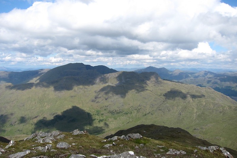
first sight of InverieWe left our bags at the bealach to make a quick ascent of Meall Buidhe. This involved a steep climb up through craglets with traces of path now and again. When we got to the skyline there was easy going to the summit which was a glorious viewpoint. It was hard to tear ourselves away except we knew the last boat left Inverie at 5pm.
[img
 IMG_2052
 by
price249, on Flickr[/img]
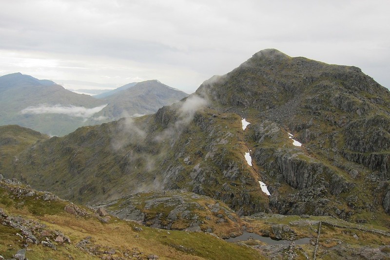
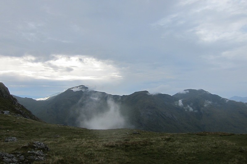
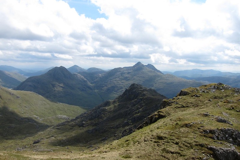
looking back to Sgurr na Ciche, Ben Aden and Sgurr Mor[img
 IMG_2054
 by
price249, on Flickr[/img]
Luinne Bheinn[img
 IMG_2055
 by
price249, on Flickr[/img]
Ladhar Bheinn[img
 IMG_2056
 by
price249, on Flickr[/img]
Skye[img
 IMG_2057
 by
price249, on Flickr[/img]
Rhum and Eigg[img
 IMG_2058
 by
price249, on Flickr[/img]
Looking east from the summit[img
 IMG_2059
 by
price249, on Flickr[/img]
looking towards Inverie on the way down to the bealach[img
 IMG_2060
 by
price249, on Flickr[/img]
the path to Inverie So back to the bealach and then down the long but easy angled path to the sea. We made it with 20 mins to spare and treated ourselves to a nice meal in Mallaig.
Equipment notesSome thoughts:
1 Ruffwear dog harness. This means your dog can actually carry its own food etc and the panniers detach and leave a weight bearing harness. it made all the difference. Mia accepted her burden dogfully. The only problem was when she went swimming.
2 Jetboil stove - I have always used a trangia but this is much lighter and so quick it was a total revelation.
3 Tick Twister - totally effective and indispensible.
