free to be able to rate and comment on reports (as well as access 1:25000 mapping).
Sub 2000 Marilyns: Sgurr Bhidhe, Sgurr Eireagoraidh.
Date: 14/06/2014.
Distance: 13km
Ascent: 1100m
Time taken: 6 hours, 45 minutes.
Weather: Warm, sunny, calm. Occasionally clouding over
A bit of a report backlog, so I'm starting in the middle with the best and working outwards. Still no new camera, so this isn't photographed quite as well as I'd like - phone snaps again.
I'd joined my parents in the caravan they had rented in Corpach the day before, but they were now ready to pack up and head home via my place for a few days. The logical place to look for a walk would have been somewhere in the Great Glen, but with the weather looking good, we decided to head out west instead. Dad had climbed Sgurr Eireagoraidh a number of times over the years, the most recent being a week earlier. However, as one of his favourite hills, it wasn't hard to persuade him to do it again, especially from a different direction. Between us, we came up with this route.
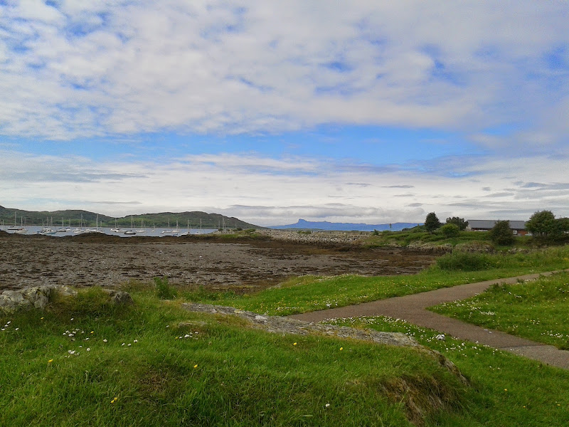
We stopped for lunch in Arisaig, and almost lost momentum there, as lounging about seemed more pleasant than walking anywhere. Once over that, we drove down to Bracorina, where Mum decided to walk along the path towards Tarbert. She would drive round to Mallaig after her walk and meet us there.
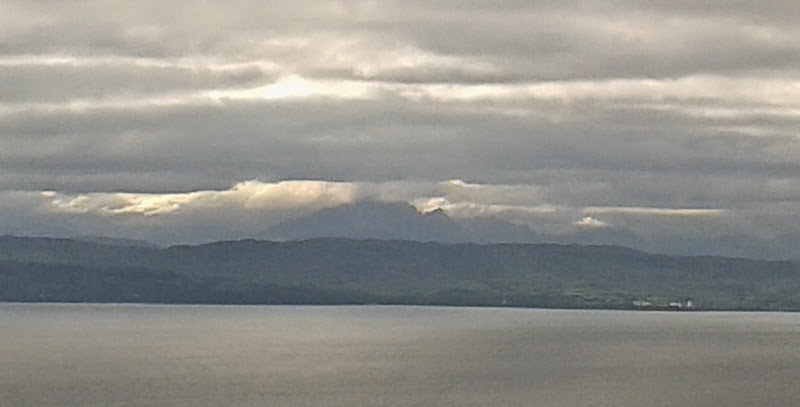
Eigg from Arisaig:
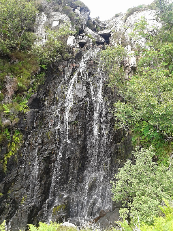
I had initially thought about using the path to Stoul to gain initial height, but we decided to go the direct way to Sgurr Buidhe. This could have potentially been very rough, but it actually turned out to be quite reasonable underfoot. After clearing the initial glen via a small waterfall, Sgurr Buidhe stuck up directly in front of us, although I refused to believe this was actually the top until we were much closer.
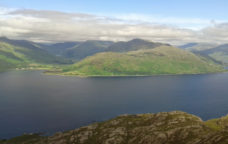
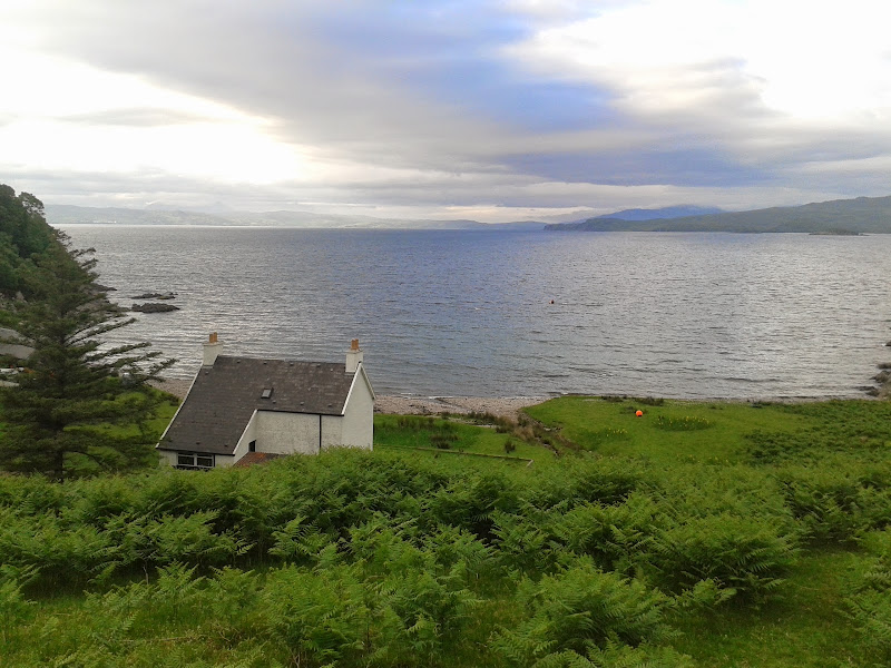
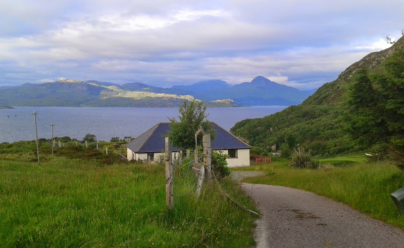
Looking back onto Loch Morar at Bracorina:

One of many nameless burns crossed on the route:

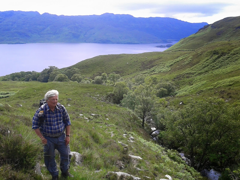
Dad:
Waterfall on the Allt nan Taighean:
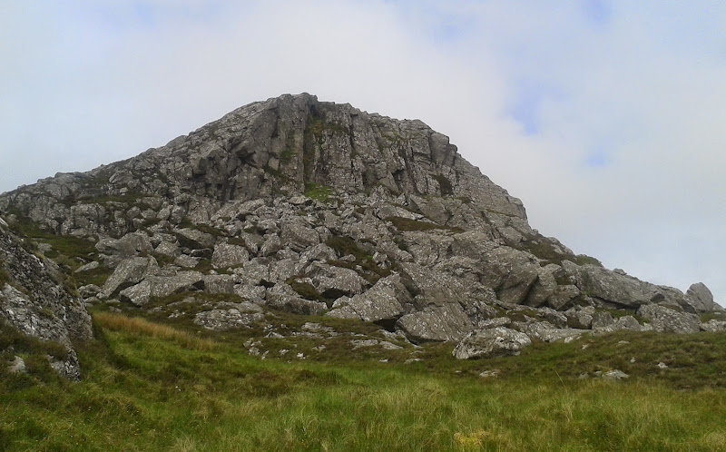
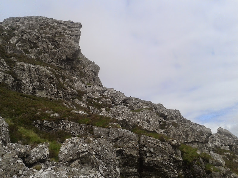
To reach the summit, there was a little scrambling over large boulders. There were a number of cairns around, but the highest point turned out to be right on top of the crag. Great views all around, but we knew there was even better to come.
Summit crags Sgurr Buidhe:
Southwest over Loch Morar and Eigg. It wasn’t really as dull as it looks:
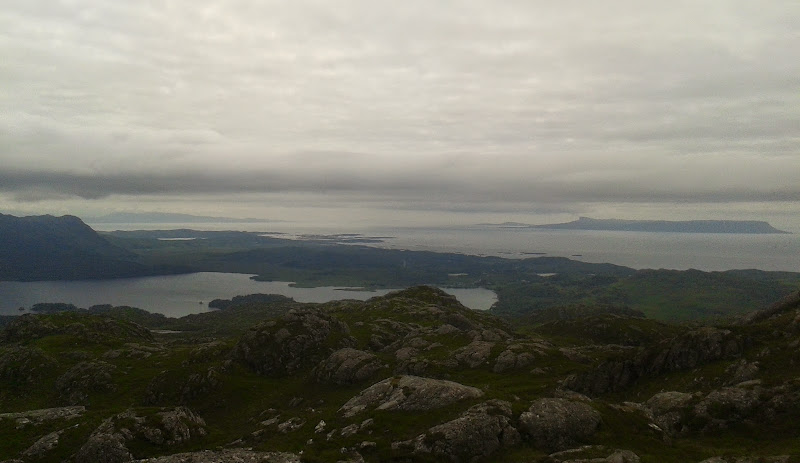
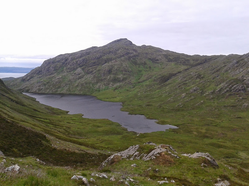
Sgurr Buidhe:
Loch Morar, including Eilean Ban on the right, which we camped on in April:
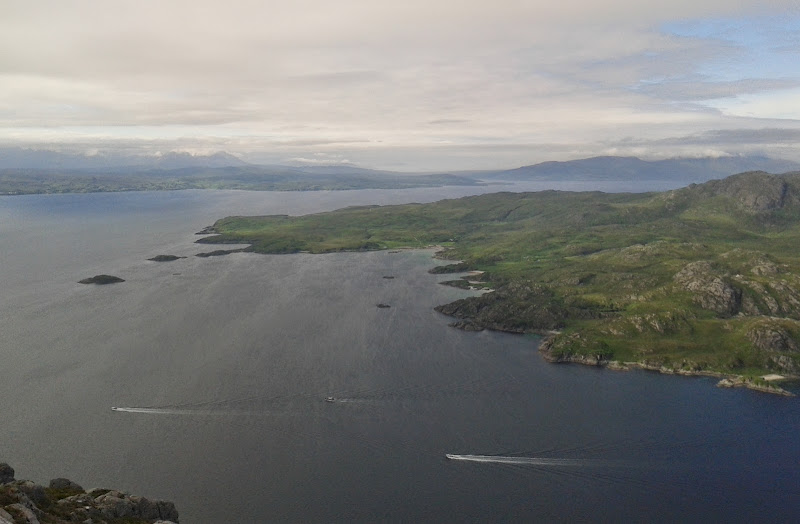
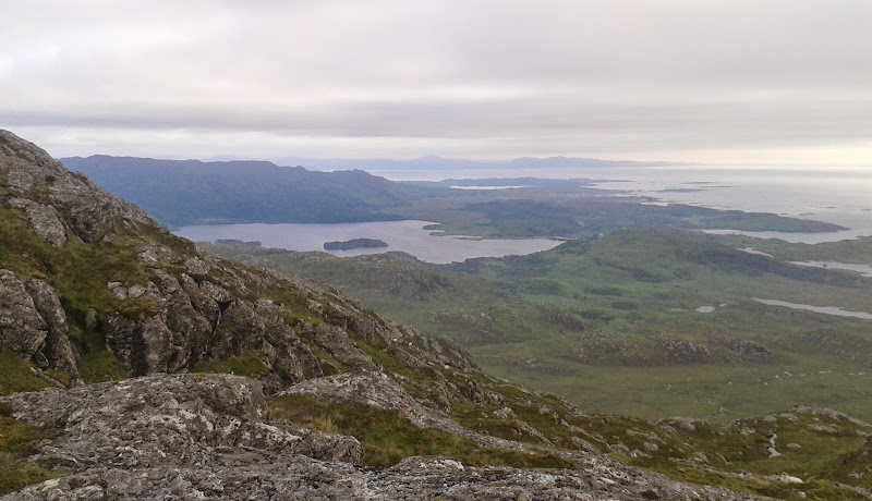
While we could have walked around the rim of Coire Eireagoraidh, it was quite bobbly and indistinct, so we crossed the floor a short way east of the loch. Sgurr an Eilean Ghiubhais was a rougher prospect with endless convex slopes, confusing rocky ribs and a couple of false summits.
First sighting of Sgurr Eireagoraidh:

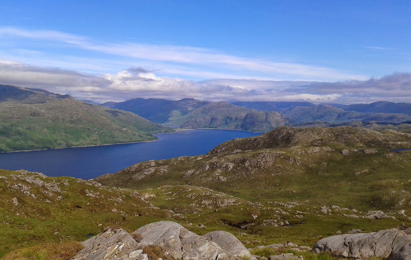
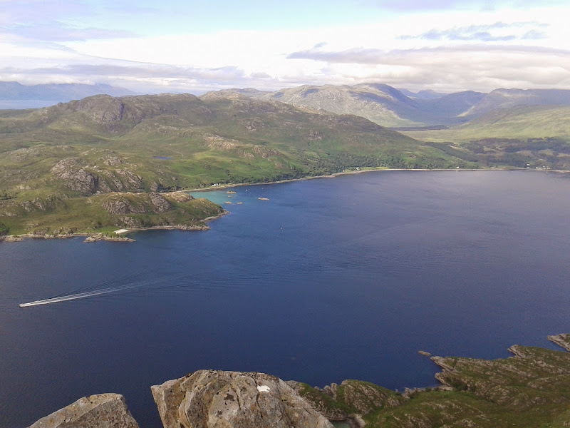
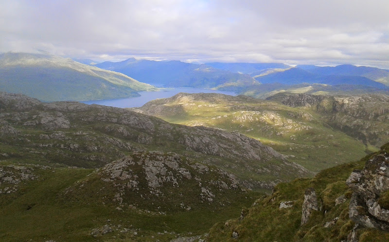
On the final approach to the summit, we crossed a small gap containing a lochan. Then suddenly the much anticipated views of Loch Nevis were in front of us. A substantial drop off over slimy cliffs too. This easily became one of my favourite summits of the year so far, and we had a good half hour sitting up there.
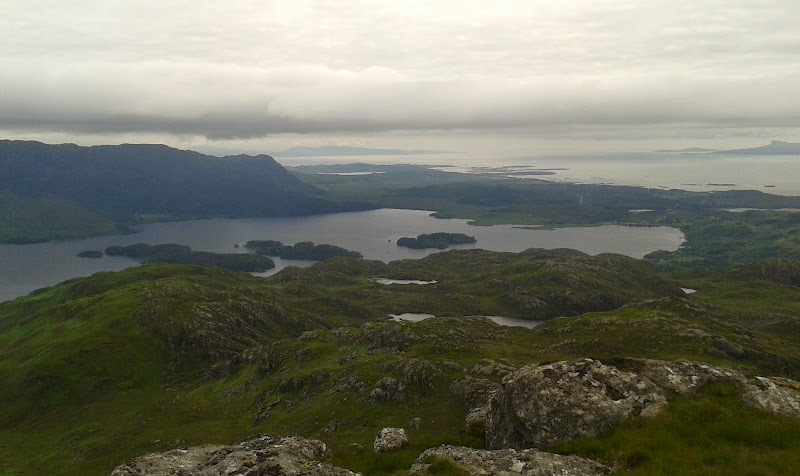
This is what we came for – views east up Loch Nevis:
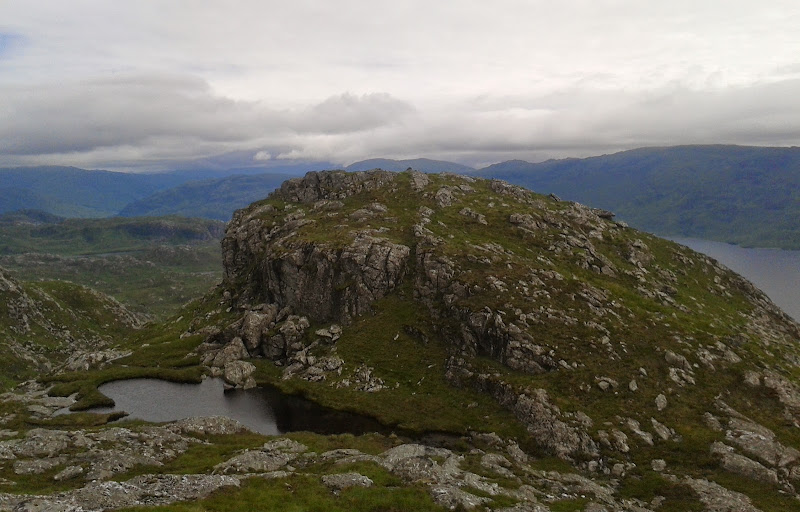
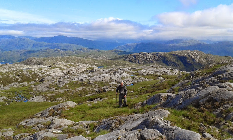
Dad approaching the summit of Sgurr an Eilean Ghiubhais:
Lochan on the plateau:
Inverie ferry is in there somewhere:
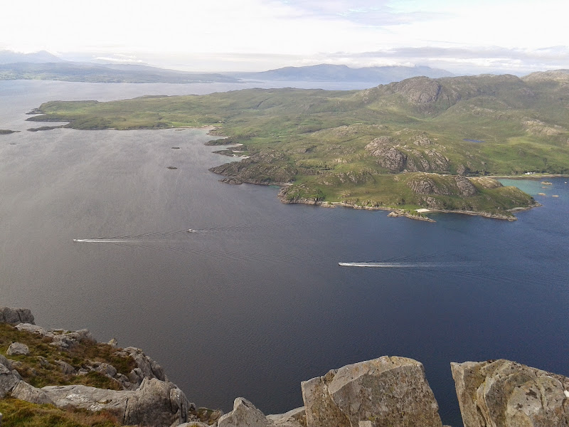
Inverie and Beinn na Caillich:
Sgurr Coire Choinneachan:
Sound of Sleat:
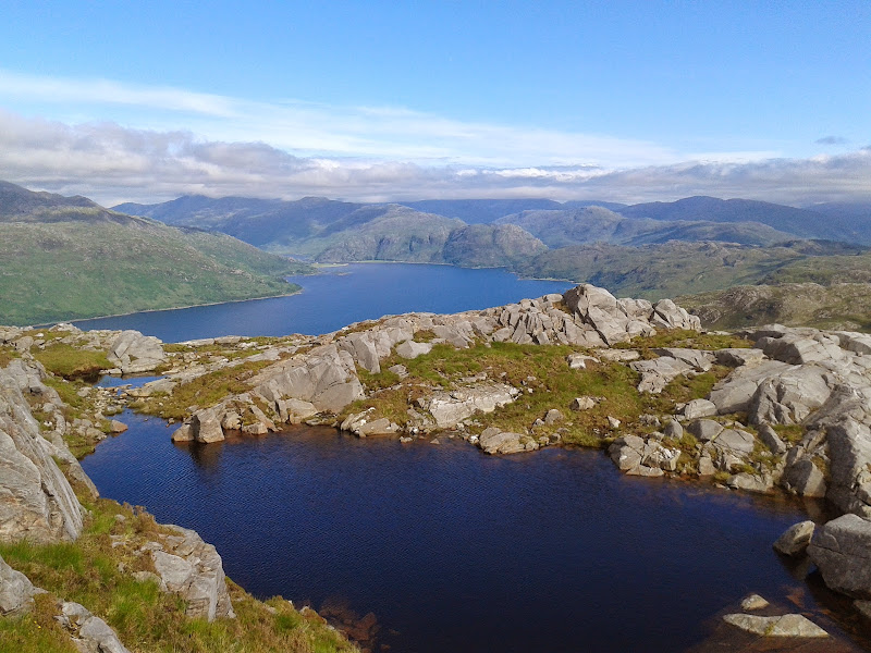
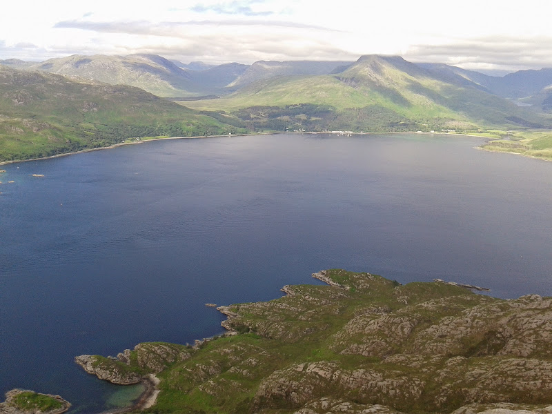
Summit cliffs and Loch Nevis:

Bheinn Bhuidhe:
Then it was on to Sgurr Eireagoraidh. Dad reckoned that this would be a bit of an anti-climax now, and in a way he was right. That was mainly down to the drop in cloud level though, and also the general reluctance of Skye and Rum to clear from the cloud. The going was rougher on the traverse, as we were crossing the grain of the land now. There were also a couple of minor peat hags, before following a steep grassy break onto the summit ridge.
Looking back to Loch Nevis from the traverse over to Sgurr Eireagoraidh:
Sleat:
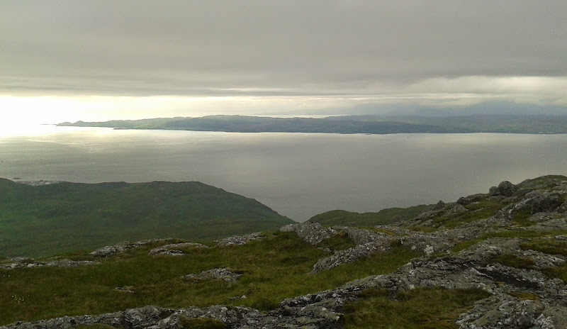
Eigg. Rum in the over-exposed bit in the middle:

As the cloud was brushing the summit, we didn't hang around here. This hill is pretty well guarded on all sides by a low band of crags. and we had to head north some distance to find a way through them. Then it was a bit of a bogtrot down to Mallaigmore, although we were rewarded with a descent to the rocky coastline and views out to Knoydart. It's times like this when the exercise of working through a hill list seems futile, and you could quite happily spend the rest of your days walking in places like this.
Looking out to Knoydart on the descent to Mallaigmore:
Rather grainy zoom to Bla Bheinn and Clach Glas:
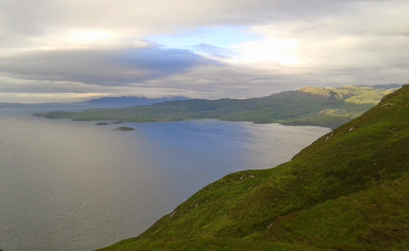
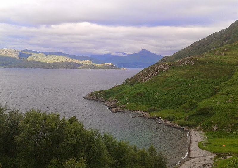
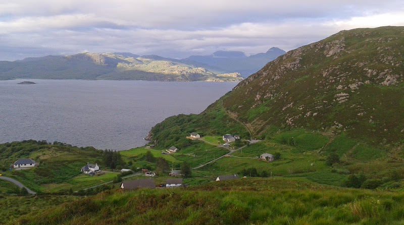
Loch Morar and Ardnamurchan:
Along the coast to Knoydart:

Ruin:

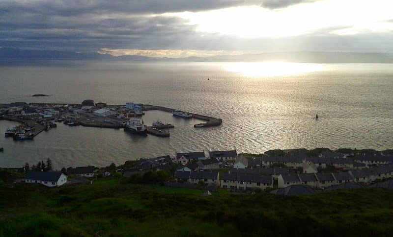
We picked up a vehicle track climbing steeply out of Mallaigmore and headed for the road end. Rather than walk the whole way back along the road, we picked up the Mallaig Circular Walk, and made a slight detour to the 117m spot height for views across the town.
Mallaigmore:
Looking back again:
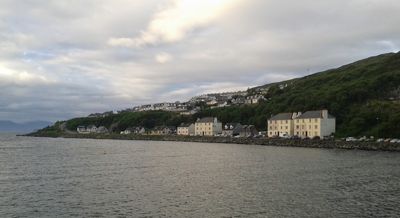
…and again from Malaig Beag:
Then we dropped down into town, where Mum was waiting with the car, having only got there 15 minutes earlier. As it was after 8, and we had a long drive back to Inverness, we had fish and chips on the harbor front before heading off.
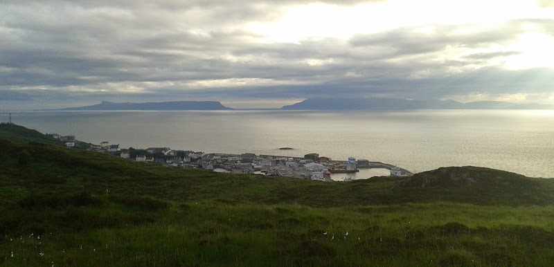
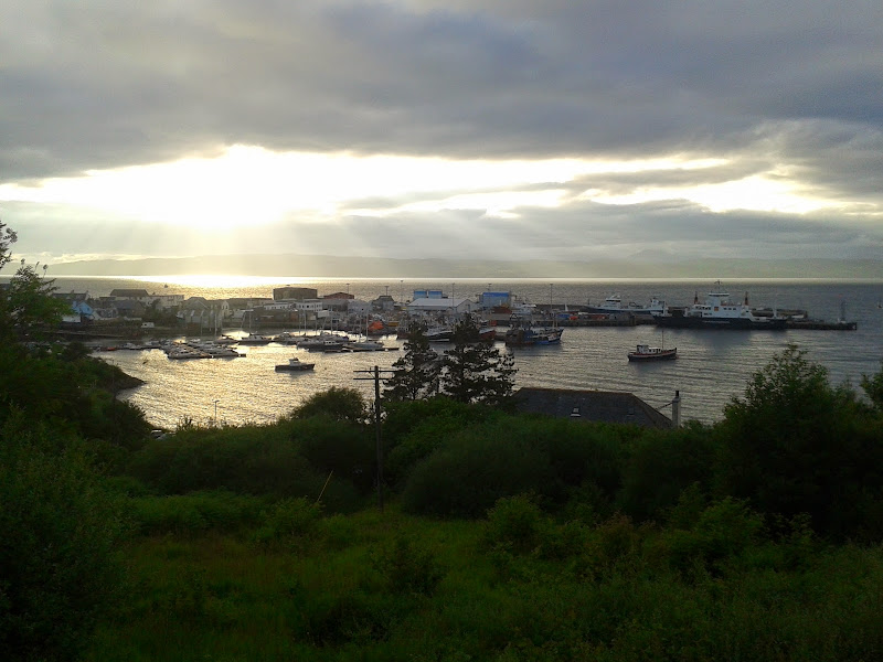
Mallaig, Eigg and Rum:
Malaig Beag from the minor summit behind Mallaig:
Harbour:
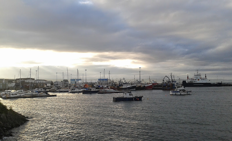
From the harbour:
So while Sgurr Eireagoraidh is a great hill - well up there in the recommended sub 2k rankings, Sgur an Eilean Ghiubhais is the pick of the bunch.
