free to be able to rate and comment on reports (as well as access 1:25000 mapping).
Yet another dreary day greeted us as we left the bothy, although we were soon warmed by the dreadful pull up the heather covered slopes of Cairn Dearg - if there is a path or an easy line we missed it. However, like all hills you top out eventually and we took a quick breather at the summit, although we did not get the hoped for views across the Ben Alder.
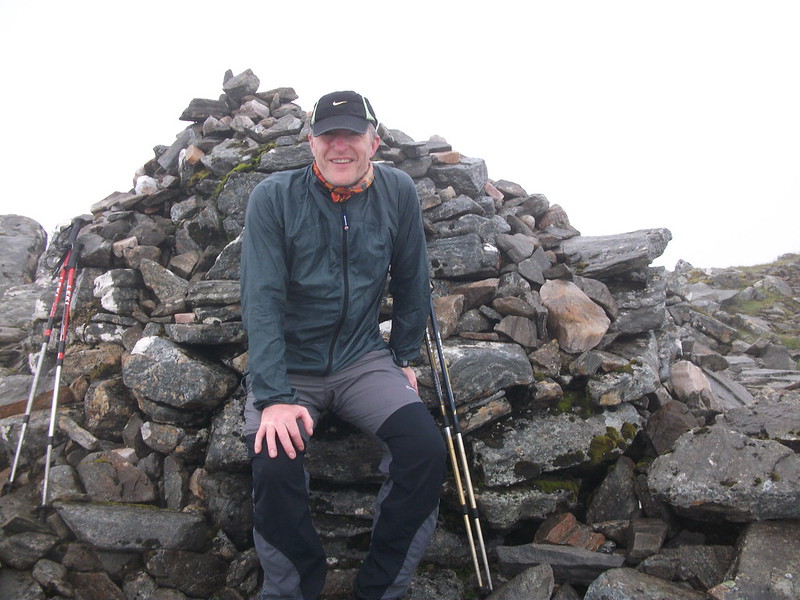 Cairn Dearg
 by
snowdonia7, on Flickr
There is a gentle descent towards Geal Charn with a stiff little scramble to negotiate, although this allows for a quick height gain. Although it was misty at the summit we had little trouble following the incline and the edge of the plateau to the summit.
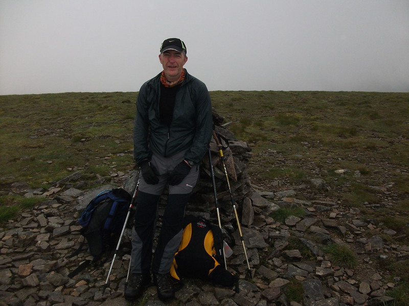 Geal Charn (Alder)
 by
snowdonia7, on Flickr
The trip to Aonach Beag is short and sweet, we stopped en route to chat to a D of E assessor.
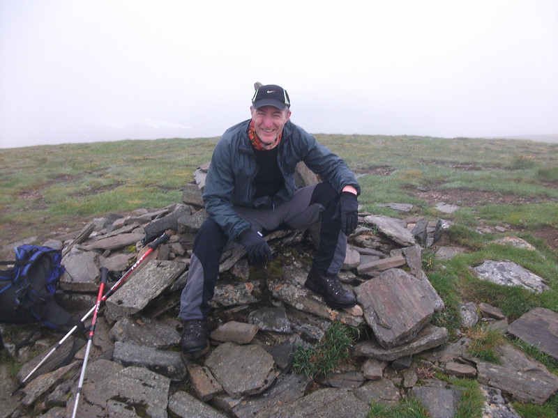 Aonach Beag
 by
snowdonia7, on Flickr
We set off from Aonach Beag without consulting map or compass and after descending for a little while deep in conversation I suddenly realised that the ground ahead didn't look like I would have expected it to. After consulting the map we saw that we had started down the northern shoulder as oppsed to the correct one to the south east

Fortunately we hadn't descended below the level of the bealach we wanted to get to, so it was possible to contour round (albeit this was a lot longer and quite tricky underfoot).
Another fairly short pull brought us to the summit ridge of Beinn Eibhinn, where we spoke to two guys who had come up from Alder cottage, but had left their mountain bikes the day before chained up at Culra.
We crossed the ridge, careful to visit both points marked at 1102 on the map.
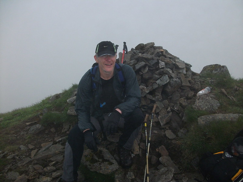 Beinn Eibhinn
 by
snowdonia7, on Flickr
We started our descent a little earlier than that described in the WH description (a touch west of the line described), but found it an easy going descent.
We stopped for a spot of lunch at the burn before the long, long walk back along the track to the bothy (what was worse was that we knew we would then be walking back out to Dalwhinne with all our gear!).
