
A' Ghlas Bheinn
This was to be my third walk in Kintail during July 2014.Rather than climb Beinn Fhada and A'Ghlas Bheinn together on one marathon day I decided it would be better to do them over two days even if it meant a long walk in, and out, on consecutive days.
To see the GPS track of this walk click here http://goo.gl/maps/I66wd
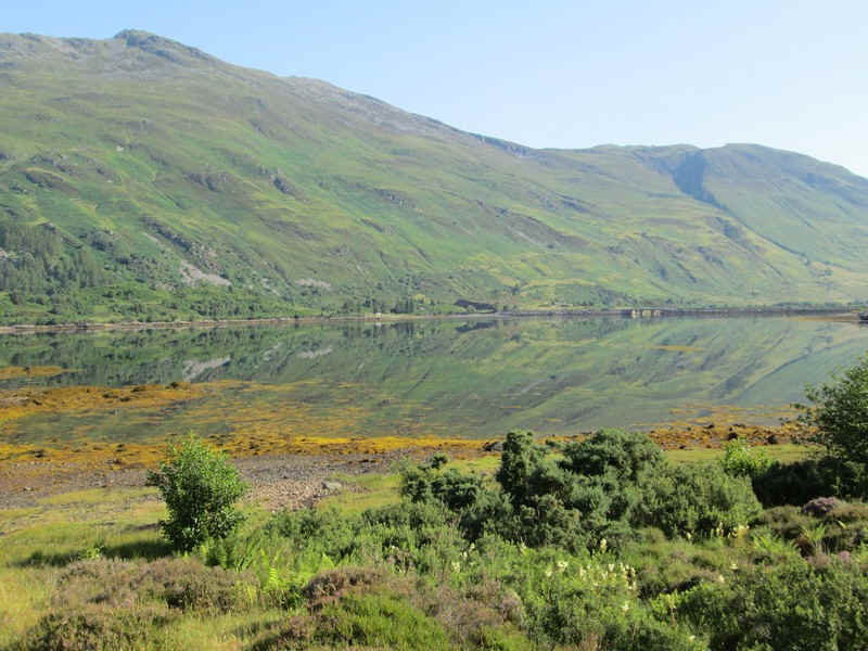
The day's walk starts along the old military road from the Kintail Lodge Hotel and then for a short distance along the A87 to Allt a'Chruinn. In the distance the causeway and bridge over the loch can be seen. On this day the waters of the loch were so still that there was a perfect reflection of the Corbett, Sgurr an Airgid.
If you've already read my description of my walk to Bheinn Fhada you will have read the description of the first few miles of this walk but I've included it again for completeness. The weather conditions were virtually the same so it's not obvious that some of the photos were taken on different days.
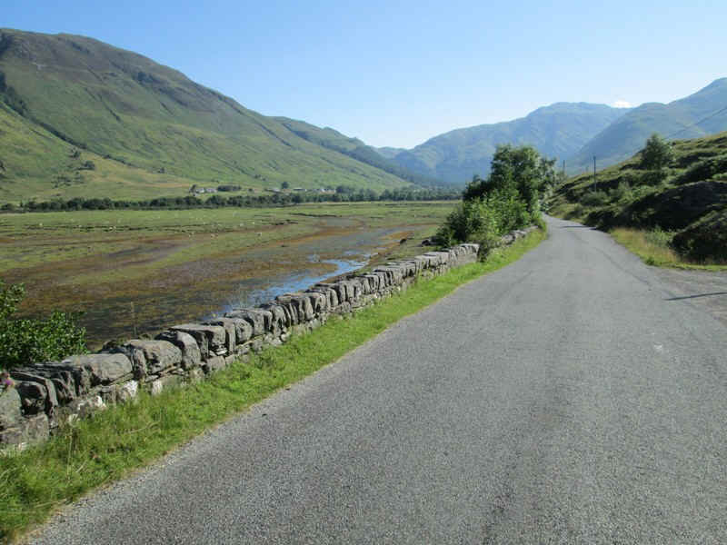
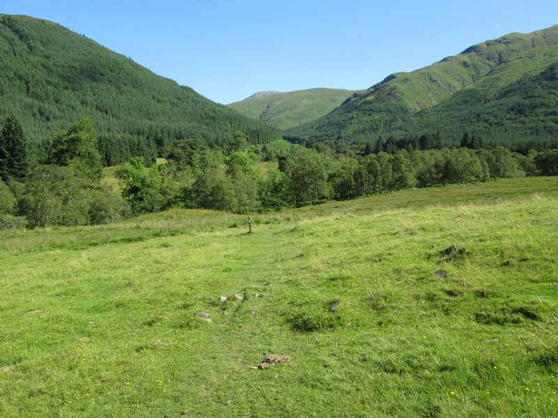
Then it's along the old main road around the head of the upper loch.
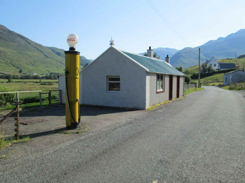
The old petrol pump is still standing at Carngorm.
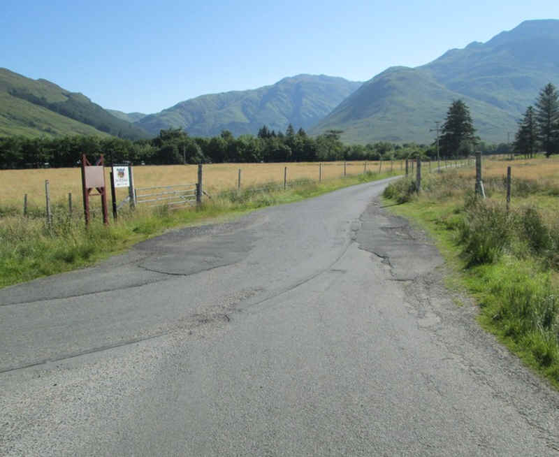
At Morvich the lane to the camp site is taken...
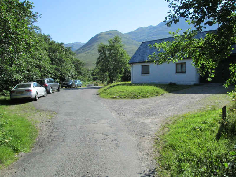
...and after a riverside walk away from the road comes to the Outward Bound centre.
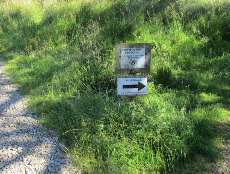
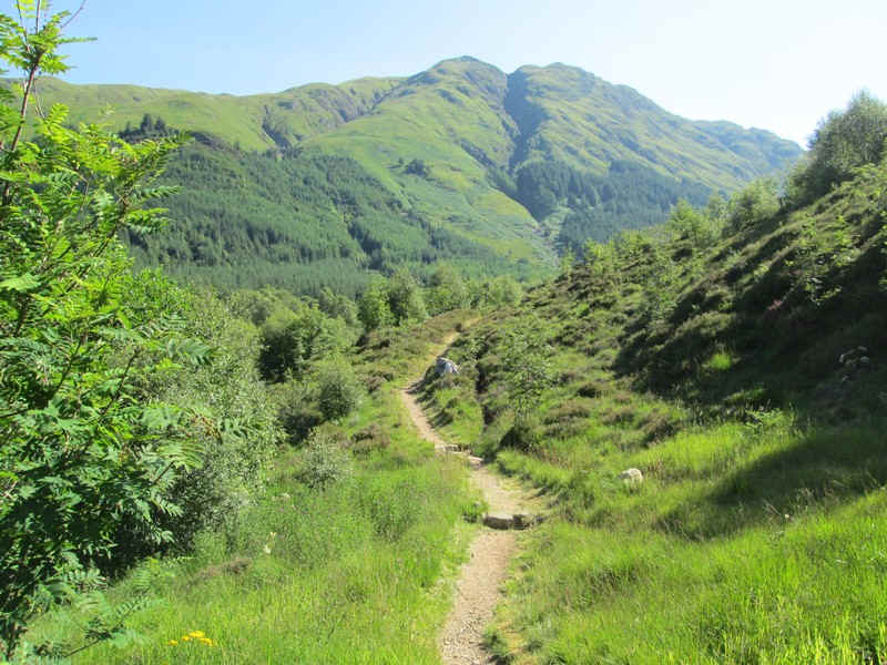
After crossing the river at Inchnacro the path, signposted to the Falls of Glomach and all other walking route is taken.
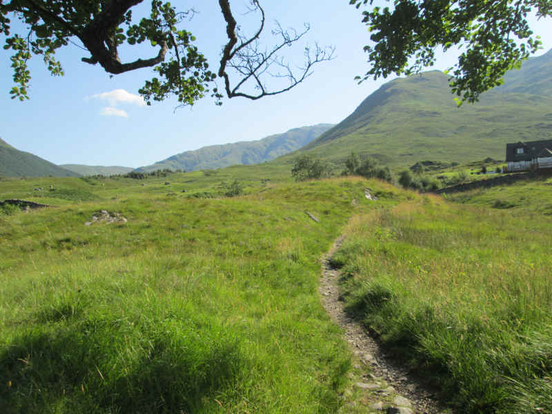
The track climbs gently up by the Abhain Chonaig stream...
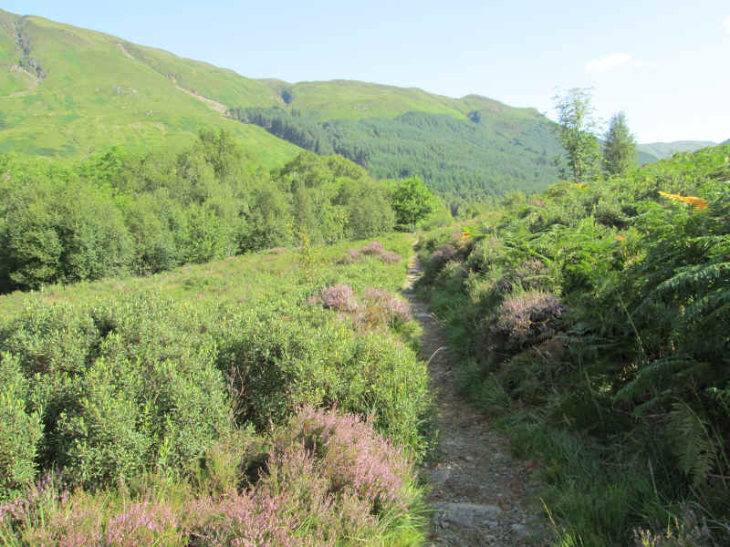
.. and through heather and woodland
...to reach an inconspicuous path junction where the track to the falls carries straight on and across a bridge.
Surprisingly there's no obvious cairn or waymark to show the junction but...
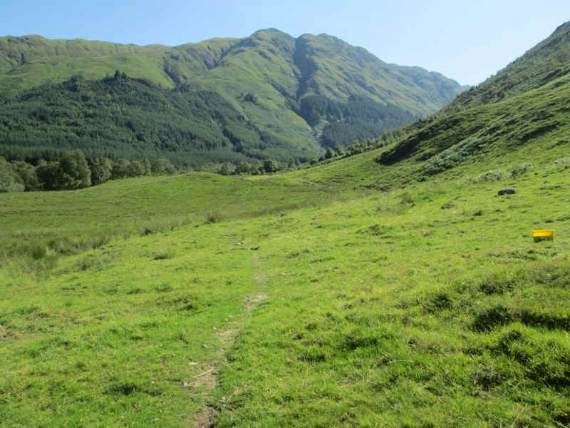
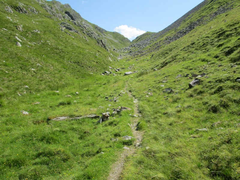
... the track soon becomes very clear as it heads up Gleann Choinneachain.
This superb path climbs gently with views improving all the time.
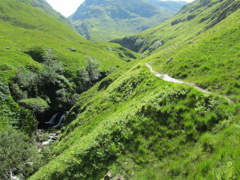
There are several waterfalls and rock pools below the path.
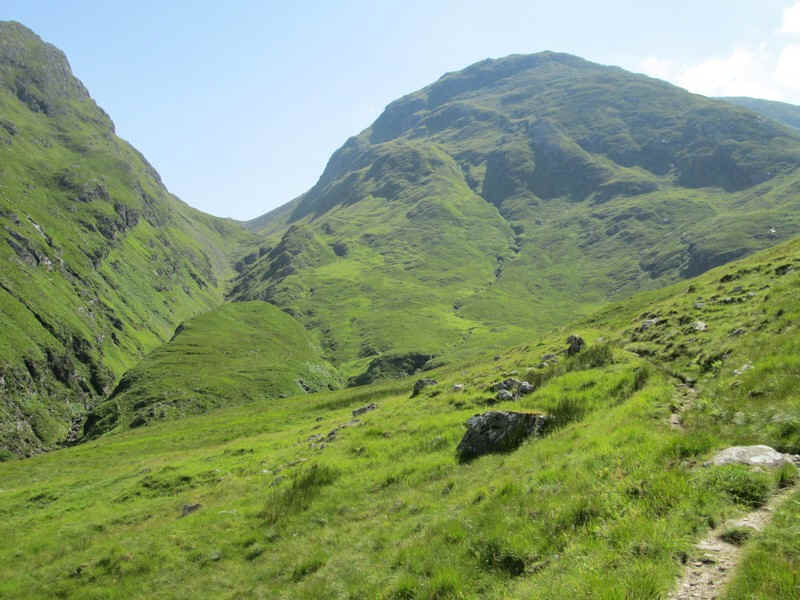
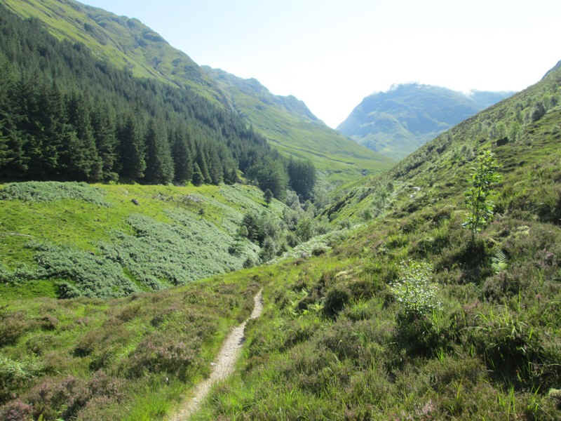
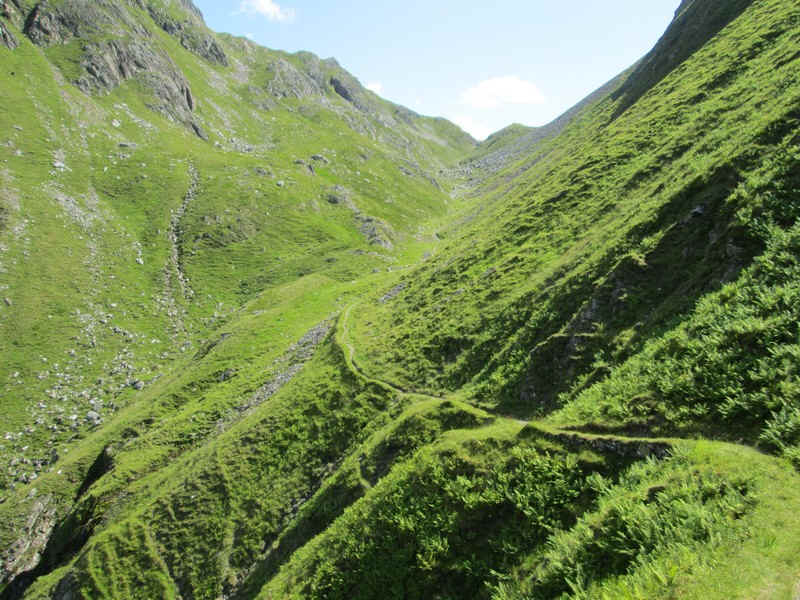
The path climbs several zig zags and the Bealach an Sgairne comes into view. To the left of this is A'Ghlas Bheinn, whilst the track to Beinn Fhada goes off to the right several hundred feet below the bealach.
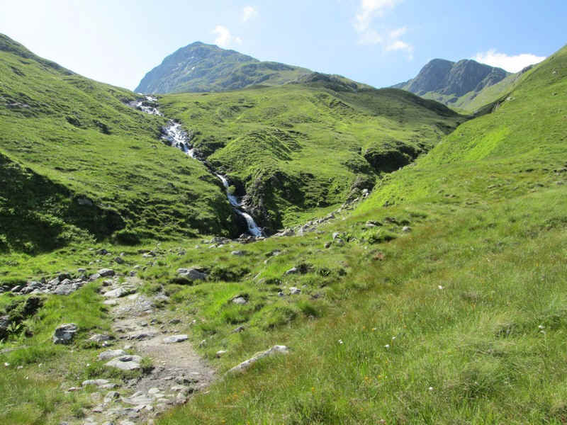
The dramatic waterfalls of the Allt a Coire an Sgairne come into view and...
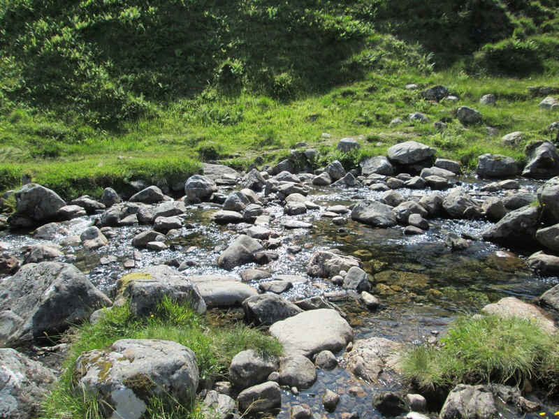
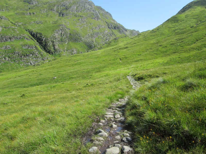
... the track crosses the stream on stones. When in spate this could obviously be a real problem but not when the water is as low as this.
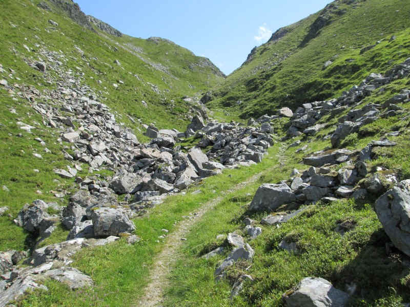
The path now climbs a succession of gently inclined zig zags..
...gaining several hundred feet really easily....
....to reach a small cairn which marks the junction of the path to Beinn Fhada.
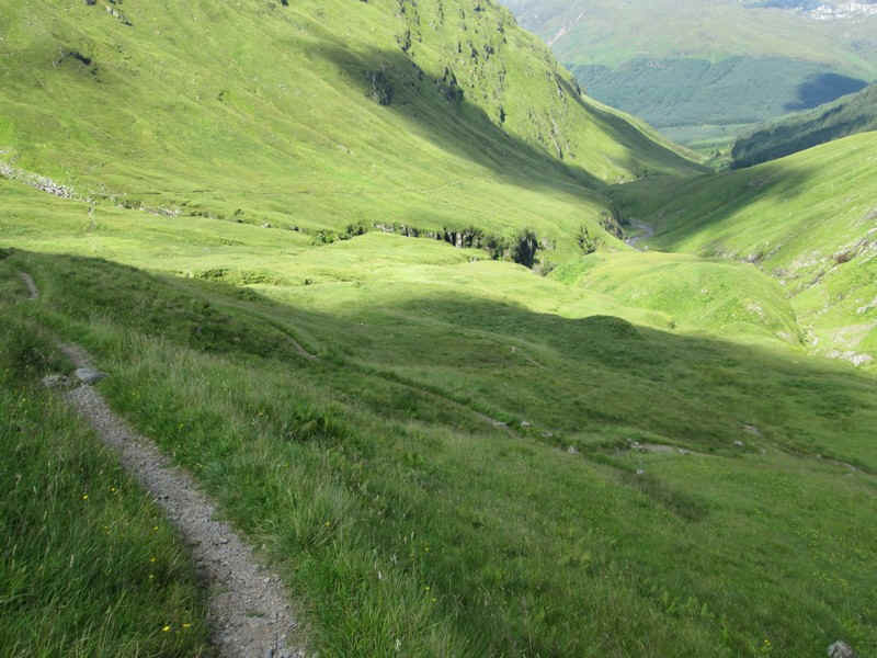
After leaving the Beinn Fhada path the section on to Bealach an Sgairne climbs steadily...
....into the upper part of the glen.
The nick at the bealach beckons the walker onwards.
In places the path is reminiscent of some of the collapsed caves in the Yorkshire Dales (until you look up!)
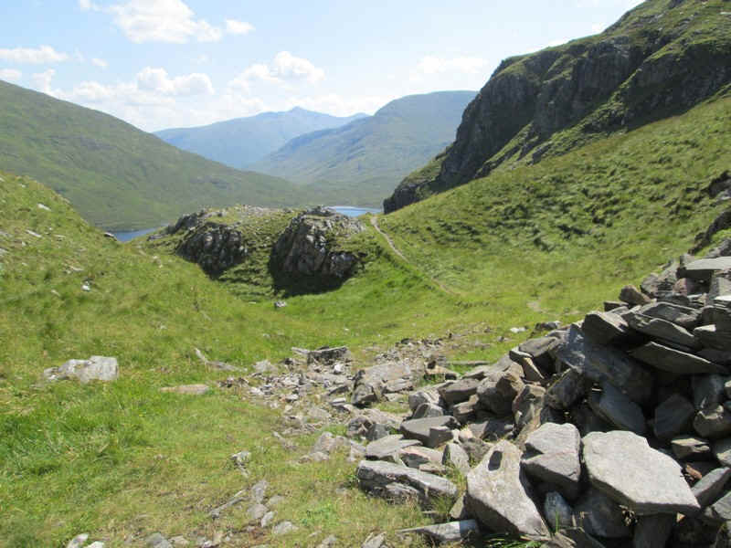
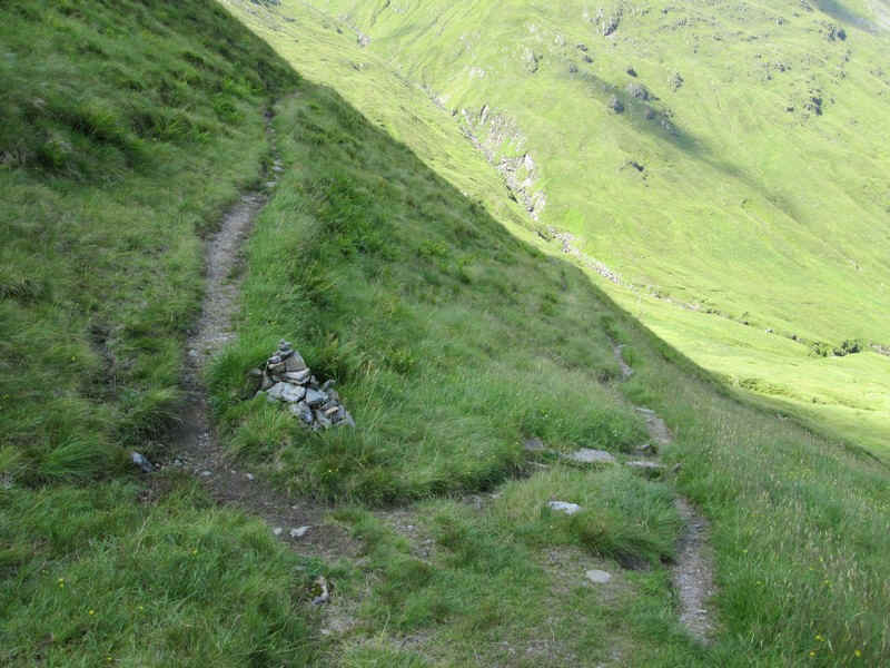
There's a cairn at the bealach with the path leading towards Glen Affric heading off downhill in one direction...
...whilst the hill track to A'Ghlas Beinn heads in the other direction.
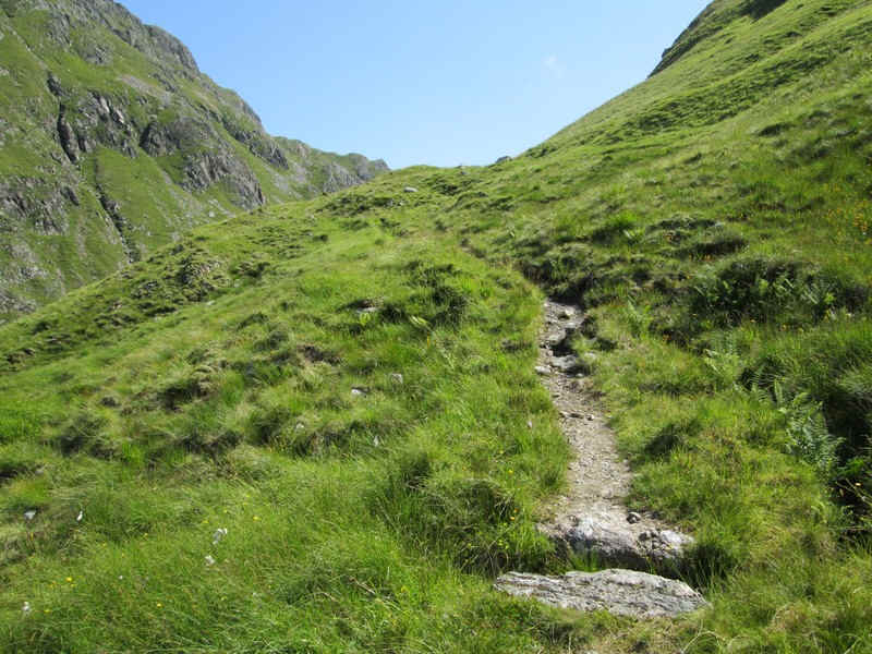
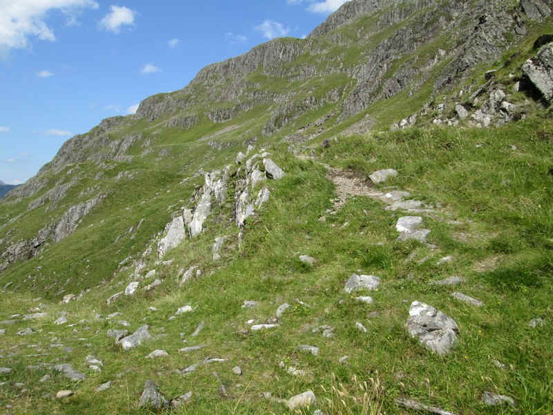
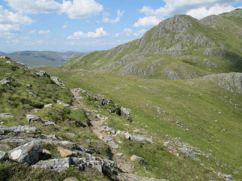
Generally the path is clear as it heads uphill through several small crags...
....whilst below there are good views of Loch a' Bhelaich.
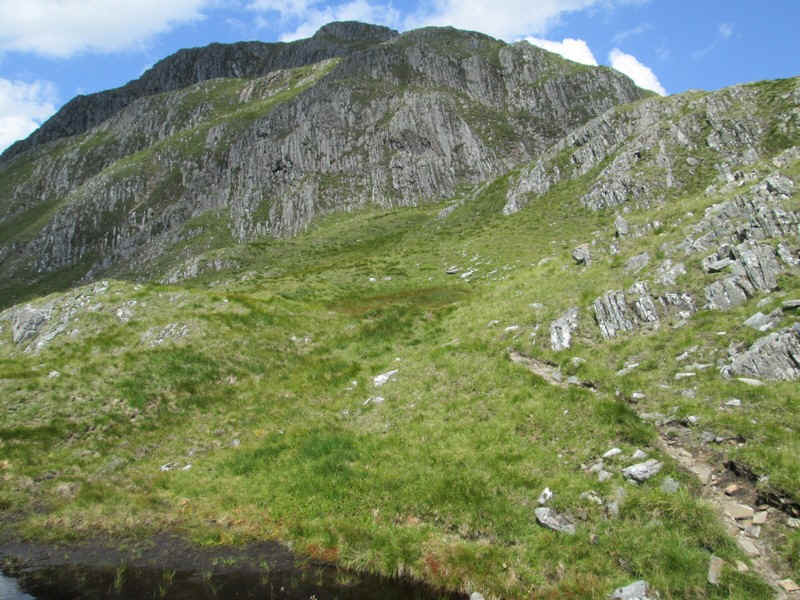
Looking backwards the cliffs of Meall a' Bhelaich look really imposing and almost impregnable. Beinn Fhada is off to the left.
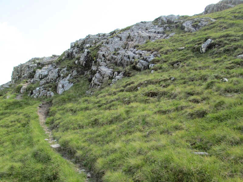
Carrying on uphill, the path twists and turns through rocks without any real difficulties.
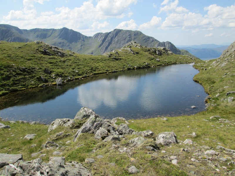
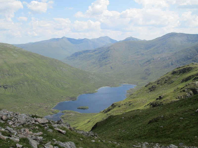
Loch Gaorsaic with Sgurr nan Ceathreamhnan (1143m) in the background.
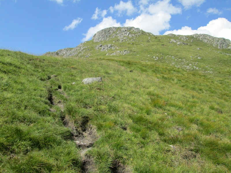
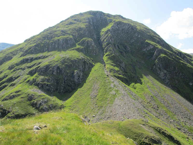
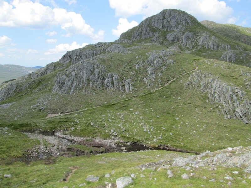
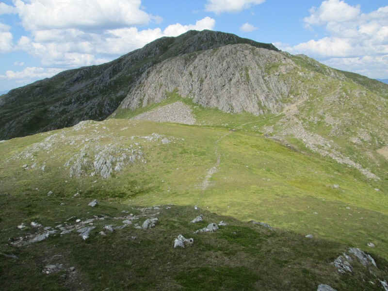
A' Ghlas Bheinn has several false summits - here's the first.
A little further on we get the view towards the real summit (or is it?). Actually you can't see the summit until almost at the end of the walk.
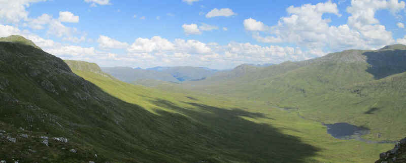
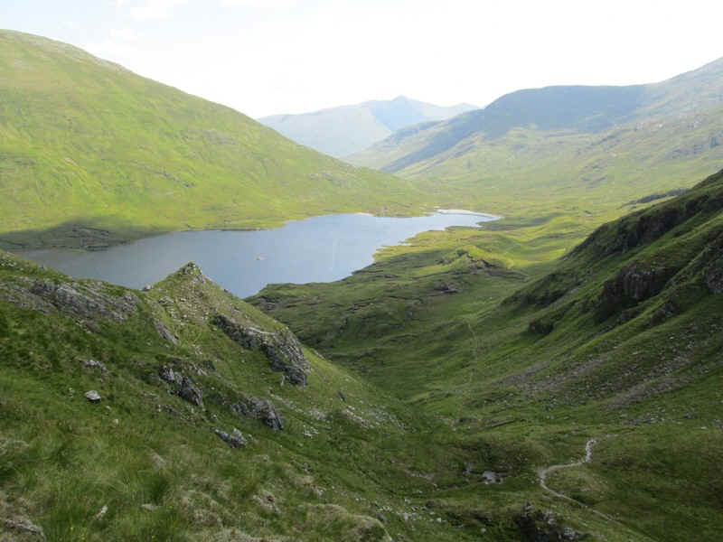
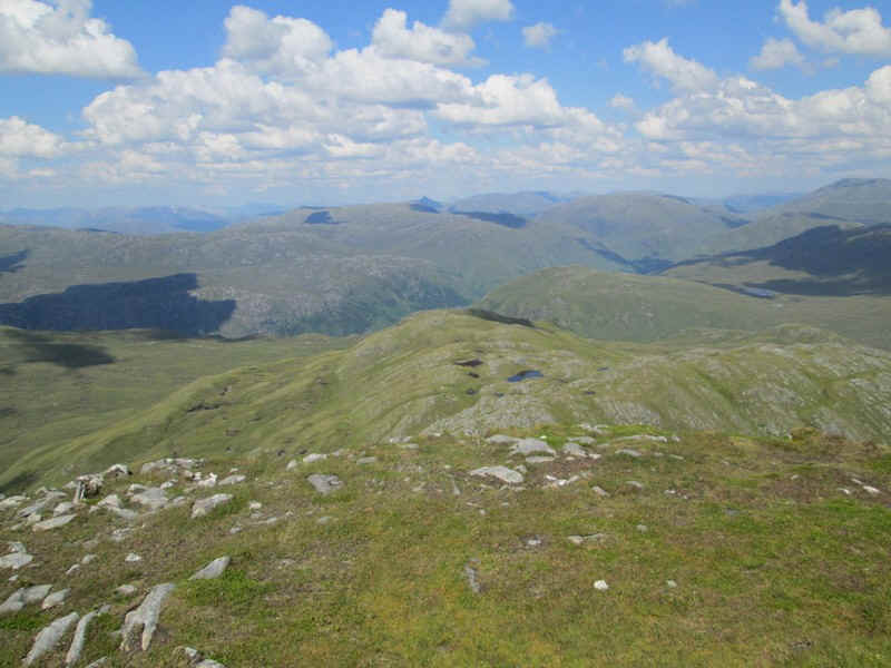
A panoramic view looking down Gleann Gaorsaic. The river in this valley eventually goes over the Falls of Glomach and into the sea near Eilean Donan castle.
This delightful lochan is near the 758 metre spot height.
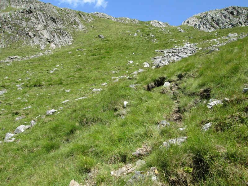
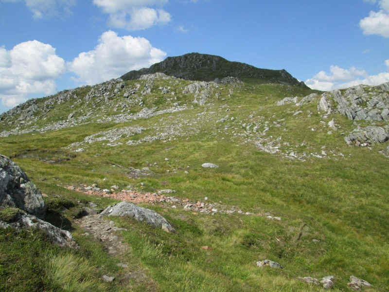
There is a surprising amount of descent on the walk up this hill...
....but I'm still wondering why walkers have deliberately made a path down through the rather awkward rocks here, when there's a perfectly easy way around on grass! Scottish hill walkers can be real masochists!!
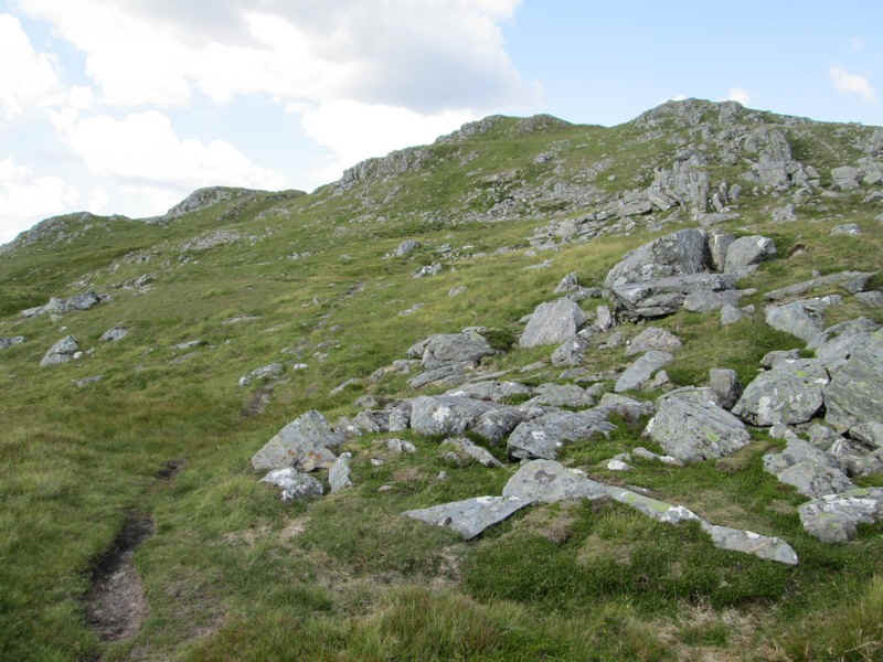
Now that's what I call a good path leading up from this small coll near the head of a burn. (NH011211)
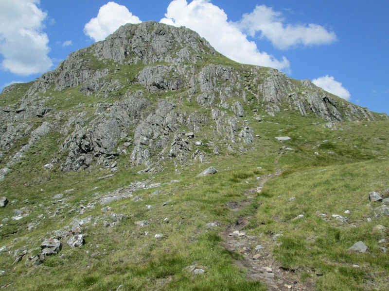
It twists through various "entertaining" sections to get to the top of this summit.
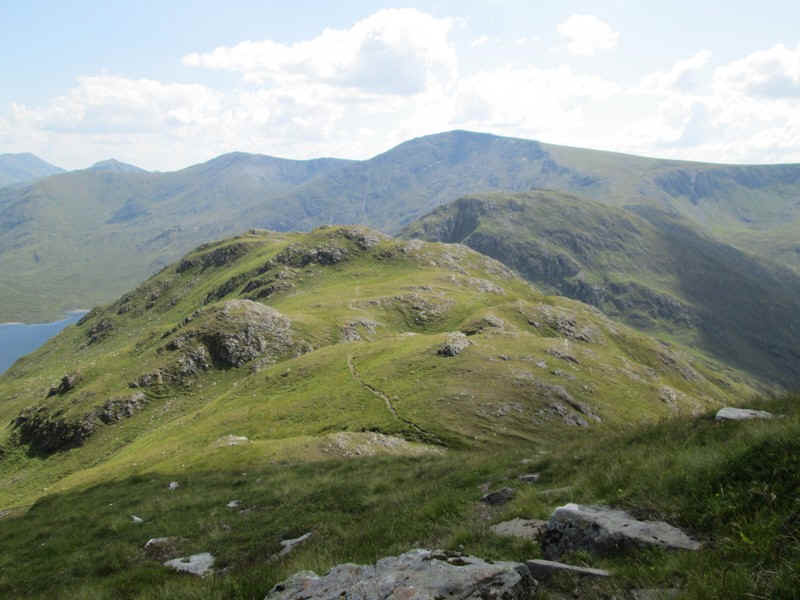
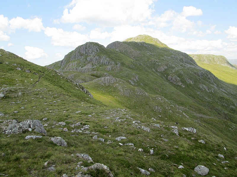
Looking back down the ridge with Beinn Fhada in the background.
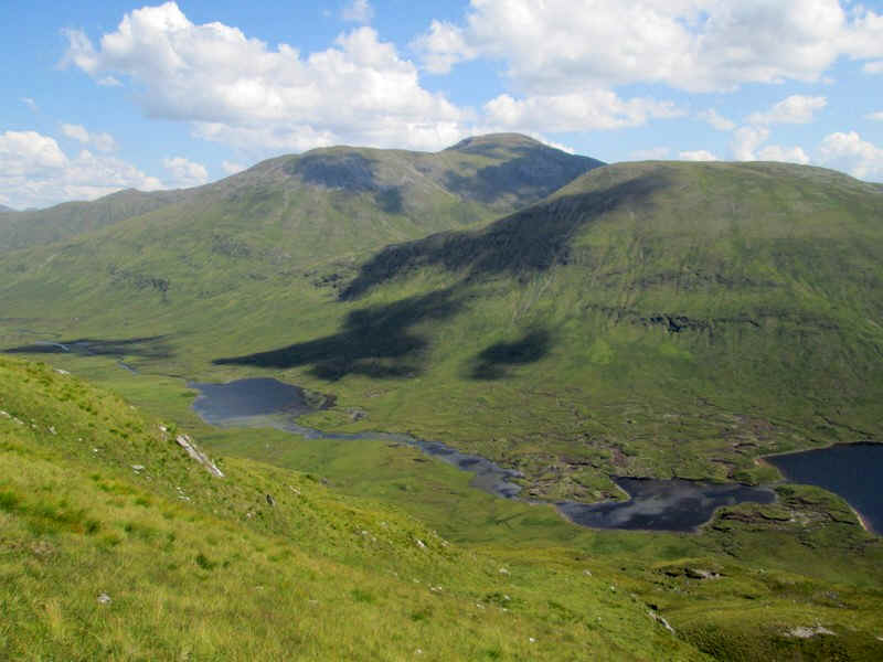
Looking down to Loch a' Bjhealaich with Mullach Fraoch Coire (1102m) and A' Chralaig (1120) in the distance.
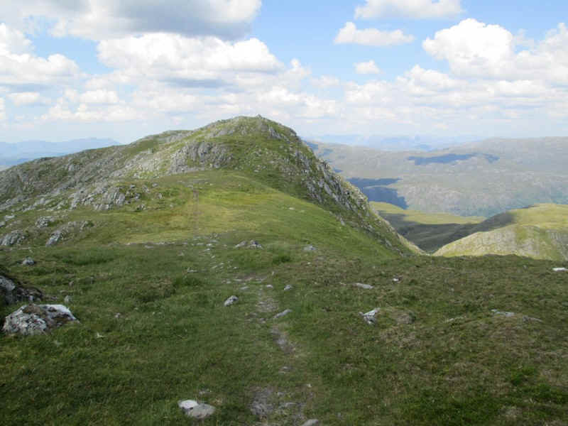
There's another short descent before...
....another steady climb to another false summit.
Onwards and upwards and .....
....the summit cairn of A'Ghlas Bheinn (918m) appears.
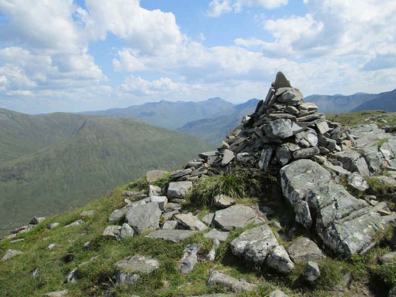
The cairn is perched at the end of the ridge and has some stunning views.
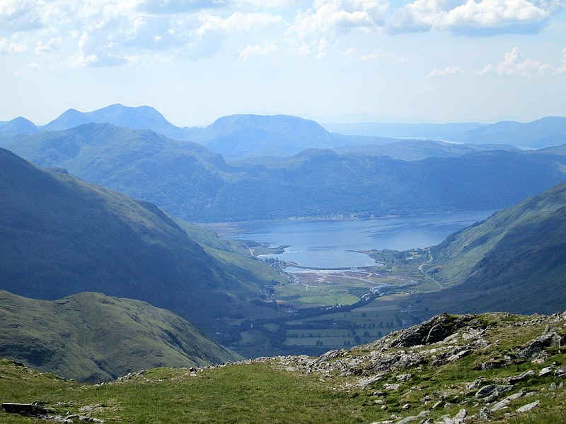
This is the view down the glen to Loch Duich with the Munro about 13 miles away on the skyline and on the right the southern end of Skye.
Looking north looking over Glen Elchaig to the hills of the Killilan Forest.
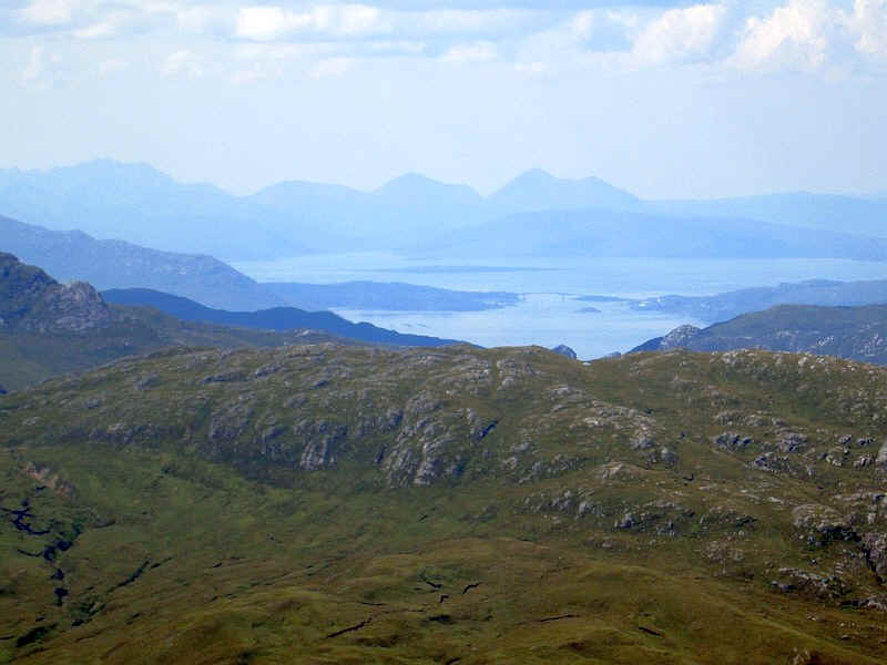
Looking west to Skye and in the centre the Skye Bridge. Beyond the bridge and to the right is the Isle of Rassay.
The walk to the summit from the Kintail Lodge Hotel had taken 5 hours including several quite long breaks as I was determined to really enjpy this walk. The return took about 4 hours. A brilliant day out and a fitting end to my walks from Shiel Bridge.
To see the GPS track of this walk click here http://goo.gl/maps/I66wd
The day's walk starts along the old military road from the Kintail Lodge Hotel and then for a short distance along the A87 to Allt a'Chruinn. In the distance the causeway and bridge over the loch can be seen. On this day the waters of the loch were so still that there was a perfect reflection of the Corbett, Sgurr an Airgid.
If you've already read my description of my walk to Bheinn Fhada you will have read the description of the first few miles of this walk but I've included it again for completeness. The weather conditions were virtually the same so it's not obvious that some of the photos were taken on different days.
Then it's along the old main road around the head of the upper loch.
The old petrol pump is still standing at Carngorm.
At Morvich the lane to the camp site is taken...
...and after a riverside walk away from the road comes to the Outward Bound centre.
After crossing the river at Inchnacro the path, signposted to the Falls of Glomach and all other walking route is taken.
The track climbs gently up by the Abhain Chonaig stream...
.. and through heather and woodland
...to reach an inconspicuous path junction where the track to the falls carries straight on and across a bridge.
Surprisingly there's no obvious cairn or waymark to show the junction but...
... the track soon becomes very clear as it heads up Gleann Choinneachain.
This superb path climbs gently with views improving all the time.
There are several waterfalls and rock pools below the path.
The path climbs several zig zags and the Bealach an Sgairne comes into view. To the left of this is A'Ghlas Bheinn, whilst the track to Beinn Fhada goes off to the right several hundred feet below the bealach.
The dramatic waterfalls of the Allt a Coire an Sgairne come into view and...
... the track crosses the stream on stones. When in spate this could obviously be a real problem but not when the water is as low as this.
The path now climbs a succession of gently inclined zig zags..
...gaining several hundred feet really easily....
....to reach a small cairn which marks the junction of the path to Beinn Fhada.
After leaving the Beinn Fhada path the section on to Bealach an Sgairne climbs steadily...
....into the upper part of the glen.
The nick at the bealach beckons the walker onwards.
In places the path is reminiscent of some of the collapsed caves in the Yorkshire Dales (until you look up!)
There's a cairn at the bealach with the path leading towards Glen Affric heading off downhill in one direction...
...whilst the hill track to A'Ghlas Beinn heads in the other direction.
Generally the path is clear as it heads uphill through several small crags...
....whilst below there are good views of Loch a' Bhelaich.
Looking backwards the cliffs of Meall a' Bhelaich look really imposing and almost impregnable. Beinn Fhada is off to the left.
Carrying on uphill, the path twists and turns through rocks without any real difficulties.
Loch Gaorsaic with Sgurr nan Ceathreamhnan (1143m) in the background.
A' Ghlas Bheinn has several false summits - here's the first.
A little further on we get the view towards the real summit (or is it?). Actually you can't see the summit until almost at the end of the walk.
A panoramic view looking down Gleann Gaorsaic. The river in this valley eventually goes over the Falls of Glomach and into the sea near Eilean Donan castle.
This delightful lochan is near the 758 metre spot height.
There is a surprising amount of descent on the walk up this hill...
....but I'm still wondering why walkers have deliberately made a path down through the rather awkward rocks here, when there's a perfectly easy way around on grass! Scottish hill walkers can be real masochists!!
Now that's what I call a good path leading up from this small coll near the head of a burn. (NH011211)
It twists through various "entertaining" sections to get to the top of this summit.
Looking back down the ridge with Beinn Fhada in the background.
Looking down to Loch a' Bjhealaich with Mullach Fraoch Coire (1102m) and A' Chralaig (1120) in the distance.
There's another short descent before...
....another steady climb to another false summit.
Onwards and upwards and .....
....the summit cairn of A'Ghlas Bheinn (918m) appears.
The cairn is perched at the end of the ridge and has some stunning views.
This is the view down the glen to Loch Duich with the Munro about 13 miles away on the skyline and on the right the southern end of Skye.
Looking north looking over Glen Elchaig to the hills of the Killilan Forest.
Looking west to Skye and in the centre the Skye Bridge. Beyond the bridge and to the right is the Isle of Rassay.
The walk to the summit from the Kintail Lodge Hotel had taken 5 hours including several quite long breaks as I was determined to really enjpy this walk. The return took about 4 hours. A brilliant day out and a fitting end to my walks from Shiel Bridge.