free to be able to rate and comment on reports (as well as access 1:25000 mapping).
(My first TR on here, so please excuse any style faux pas and the like. And it's just lifted from my own website, so apologies if the text doesn't follow the photos exactly...)
Today's walk:
Early to bed and early to rise… I was up before 5am, was soon full of porridge and my morning ablutions in the
Allt a’ Ghobhainn were nothing if not refreshing! We had struck camp and were away by 6am.
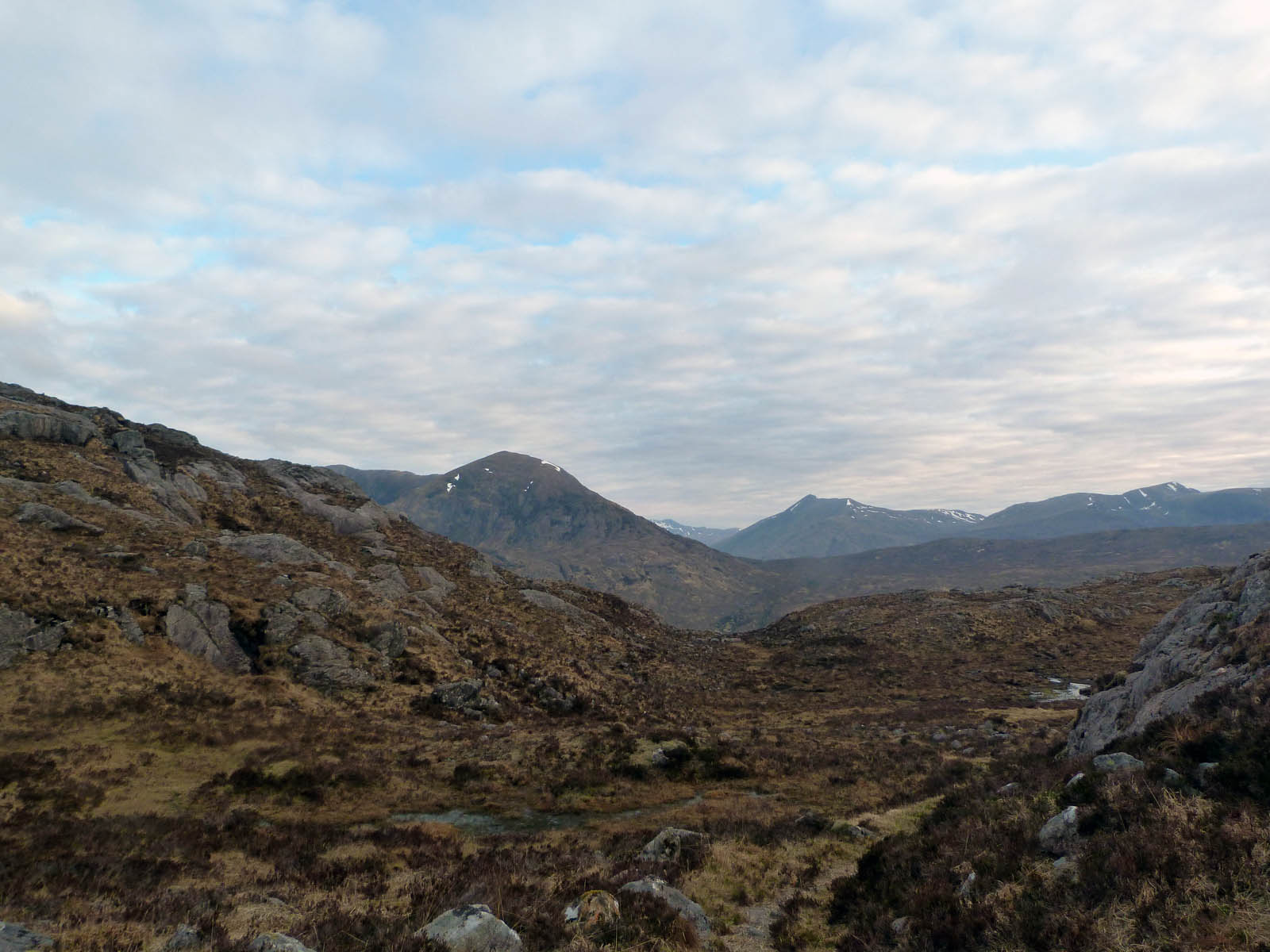
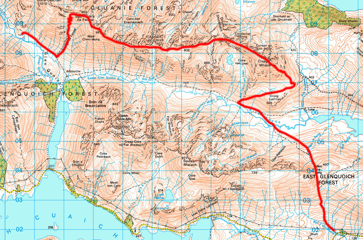
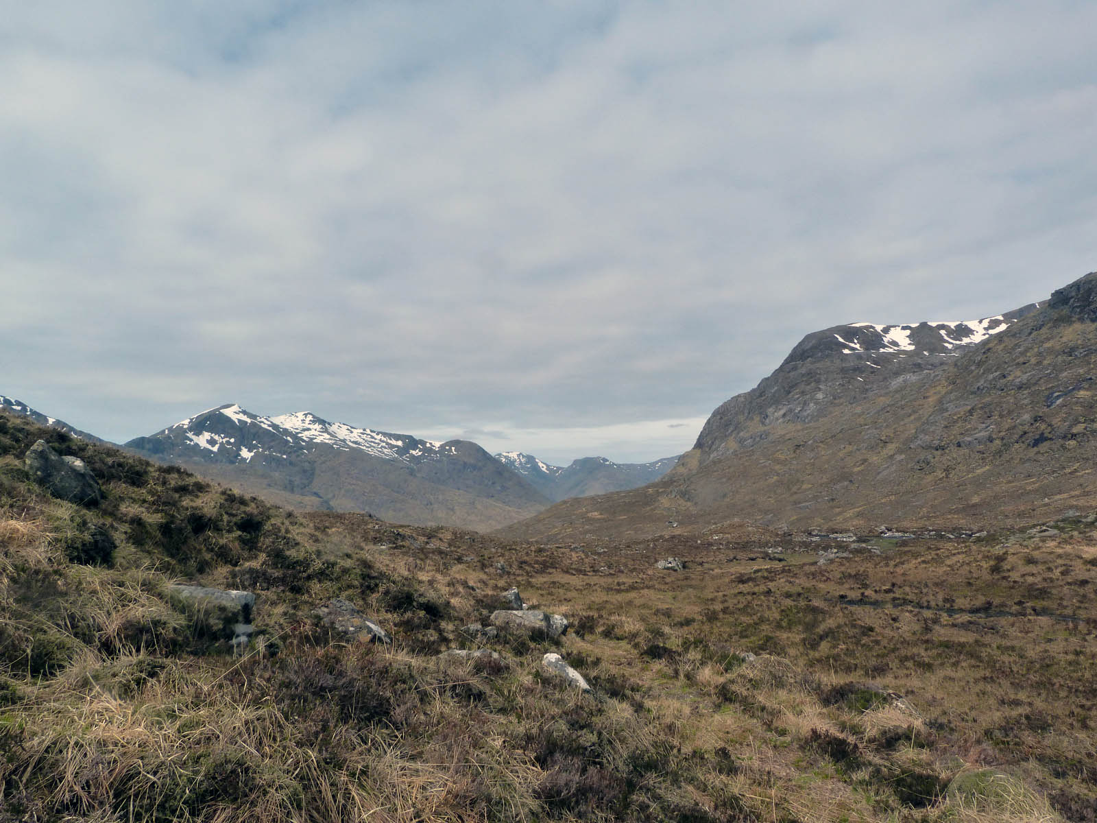
The slog up to the valley below Mám Na Sellig was slow and quite boring, the early morning grey light and light mist doing a good job of veiling the views. The views down the valley were dominated by the electricity pylons running east-west anyways though. But at the top we got our first glimpse of today’s challenge – the South Glen Shiel Ridge with its most westerly peak Creag a’Mhaim (rock of the large rounded hill) rising into view. Gosh, it looked big! But it was still a long way off yet – getting down the other side of the valley was the immediate challenge. And again it wasn’t pleasant walking, steep, lumpy & bumpy, and very marshy with some wide streams to get over. I’d also been looking for a wooded area shown on the OS map that the path was supposed to pass through, but as you can see from the above-right photo it had gone (it should have been just behind the fence) and this sent me wandering off-route slightly. I saw kind of stile looking thing at the far end of the fenced-in area and made for this, and I was back heading the right way to meet the ford across the River Loyne. Ah yes – the ford.
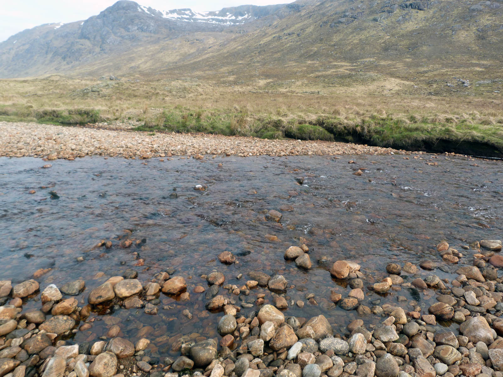
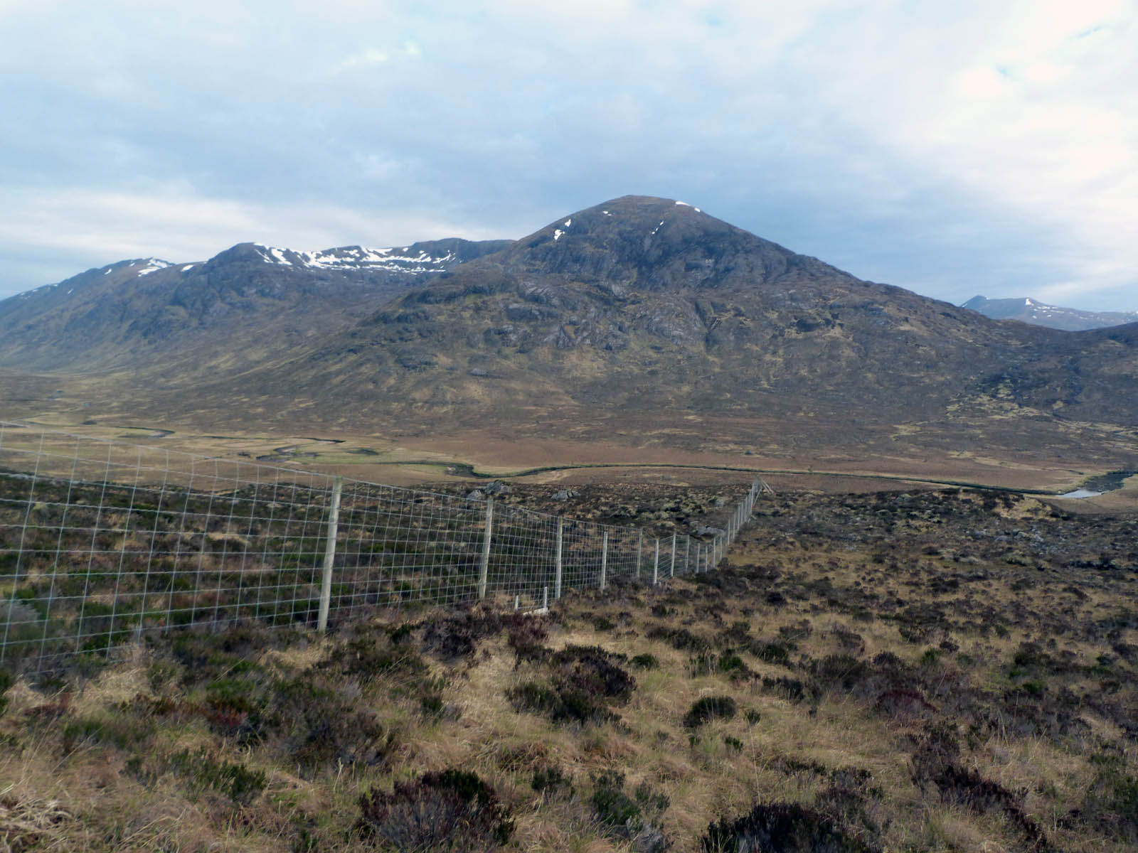
Fords round here funny things. My understanding prior to my last trip was that a ford is a point where the road/track/path crosses the river for the sake of track user. Here it seems to mean the converse – somewhere where the river goes over the path to suit the needs of the river user more. I’m sure fords are a totally meaningless concept in winter here too! So we got to the fording point, as confirmed by GPS and it did look like there was a path on either side, but at no point up or down stream was there any way of getting across. Getting across with dry feet anyways. So, the boots and socks had to come off the trouser legs rolled up and a-paddling we went. Blimey, the water was cold and the rocks were hard! I’m sure it only took 15secs to get across, but seemed like a long time – and it hurt! Mind you, I’m sure the feet didn’t mind a freshening up. Whilst I was sat down to dry my feet and re-boot I had my second breakfast of the day – a cold toast Marmite sandwich and a homemade sausage roll. Deeeelicious! (The rest of my diet consisted of muesli bars, nutty-chocolate and jam sandwiches which might get squashed but I reckoned would last the five days.)
Two hours gone, and we were now ready to start ascending the mighty 3107ft of Creag a’Mhaim – two hours later than the original plan though. We were already about 600ft above sea-level so 2500ft and we’d be up there.
It was tough going up, my rucksack was a real drag. I hadn’t weighed it but reckon it was a good 30lbs. After not very long I decided on a strategy. Every 250ft (of ascent!) I would stop for a breather, and every 500ft would stop for a proper bag-off sit down rest. Yes, this would mean maybe ten stops on the way up but whatever it takes! Breaking it up into chunks like this really helped, and a steady ascent was soon well underway, at 8am time isn’t really of the essence just yet. The 500ft rest stops slowly became 500ft-when-we-find-a-good-rock to sit on which served to spread them out more, and also has extra mini-targets to aim for on the way up. We were soon past
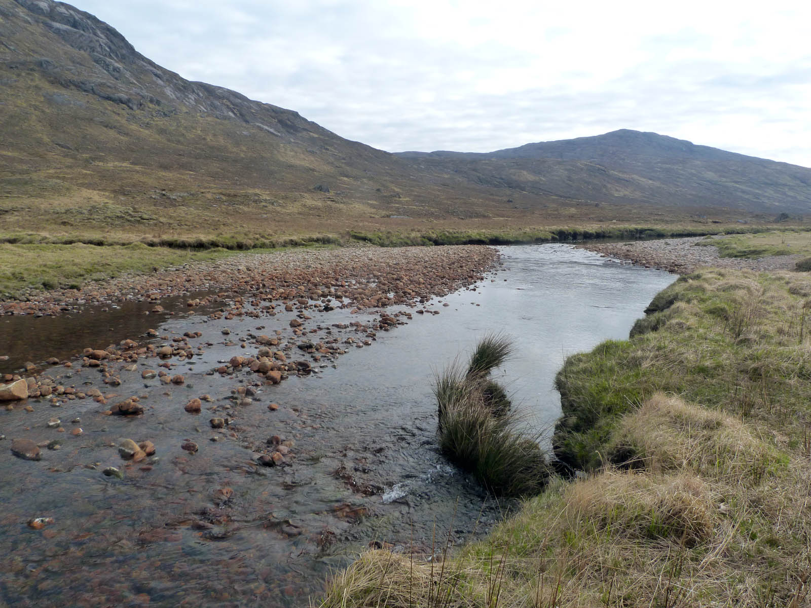
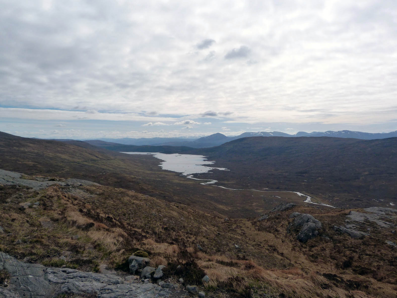
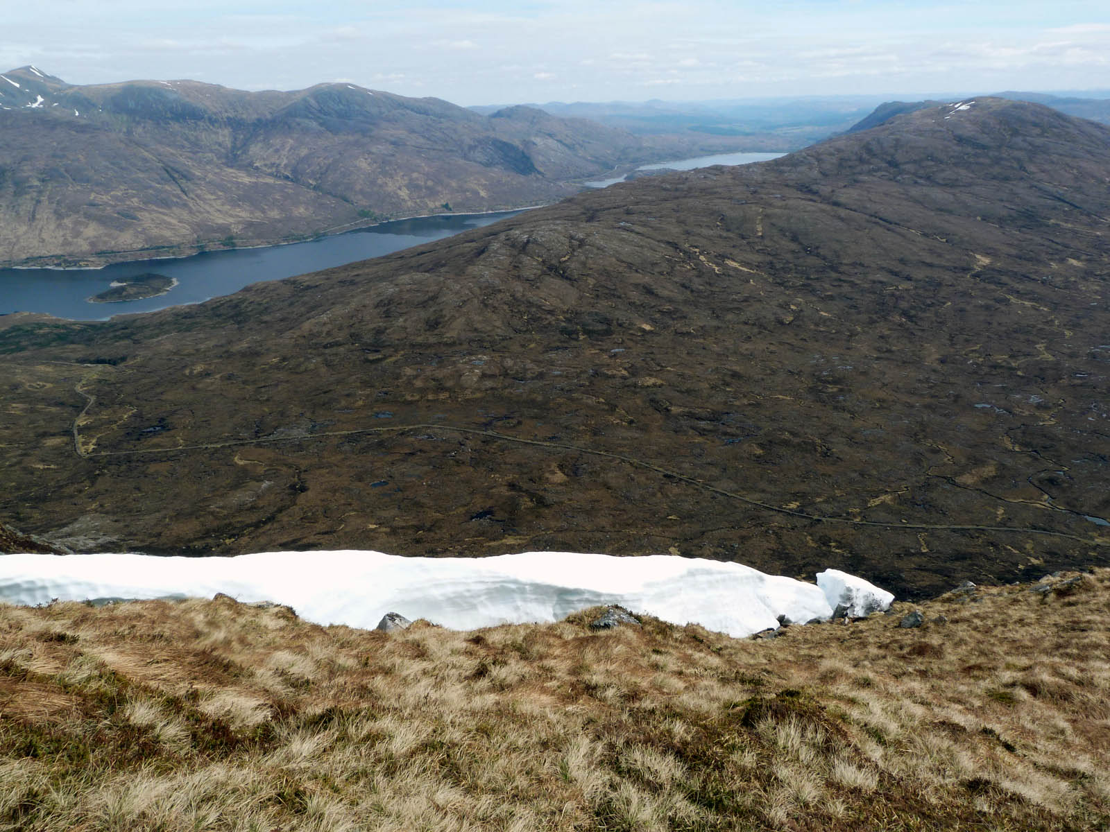
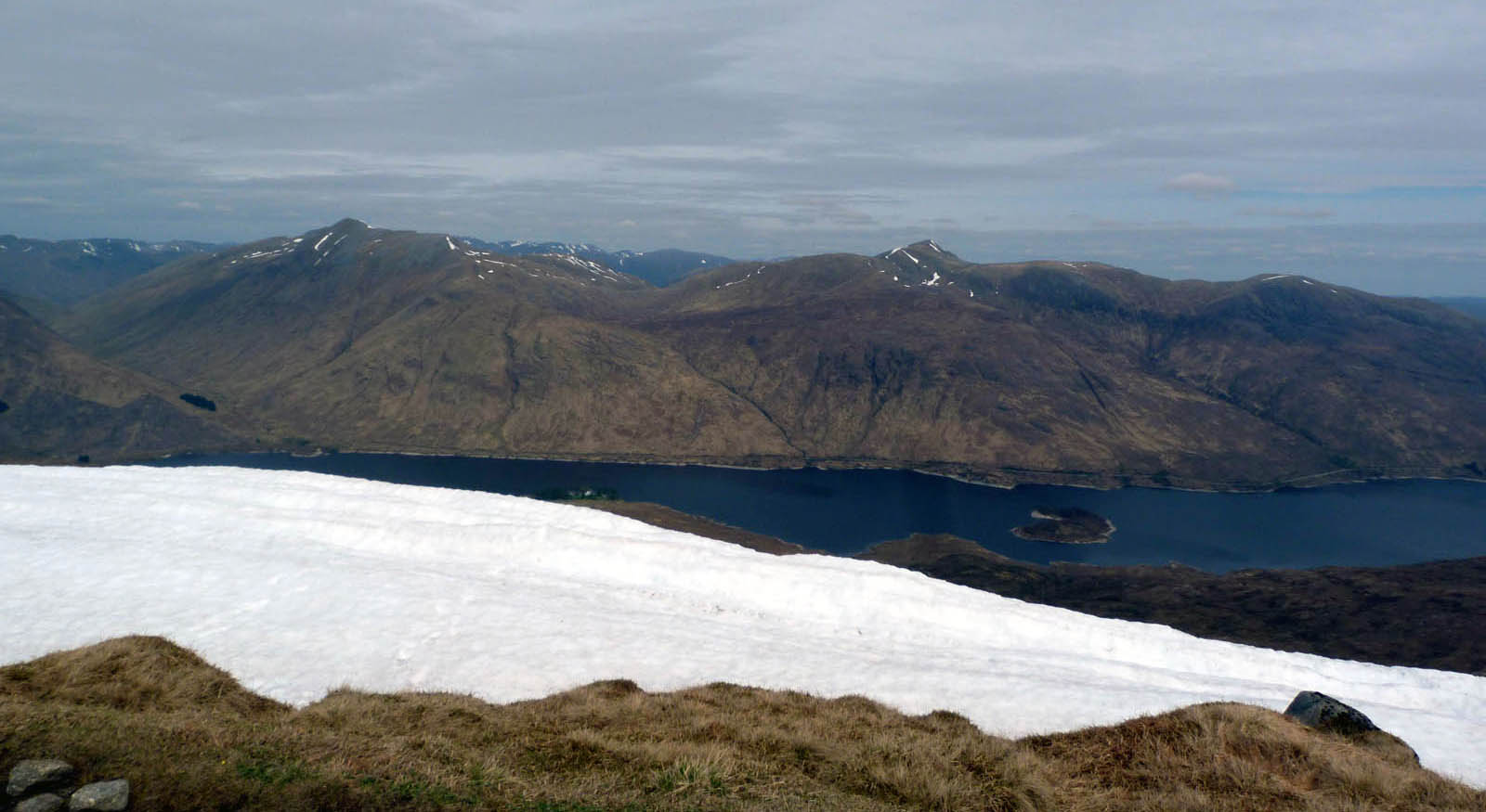
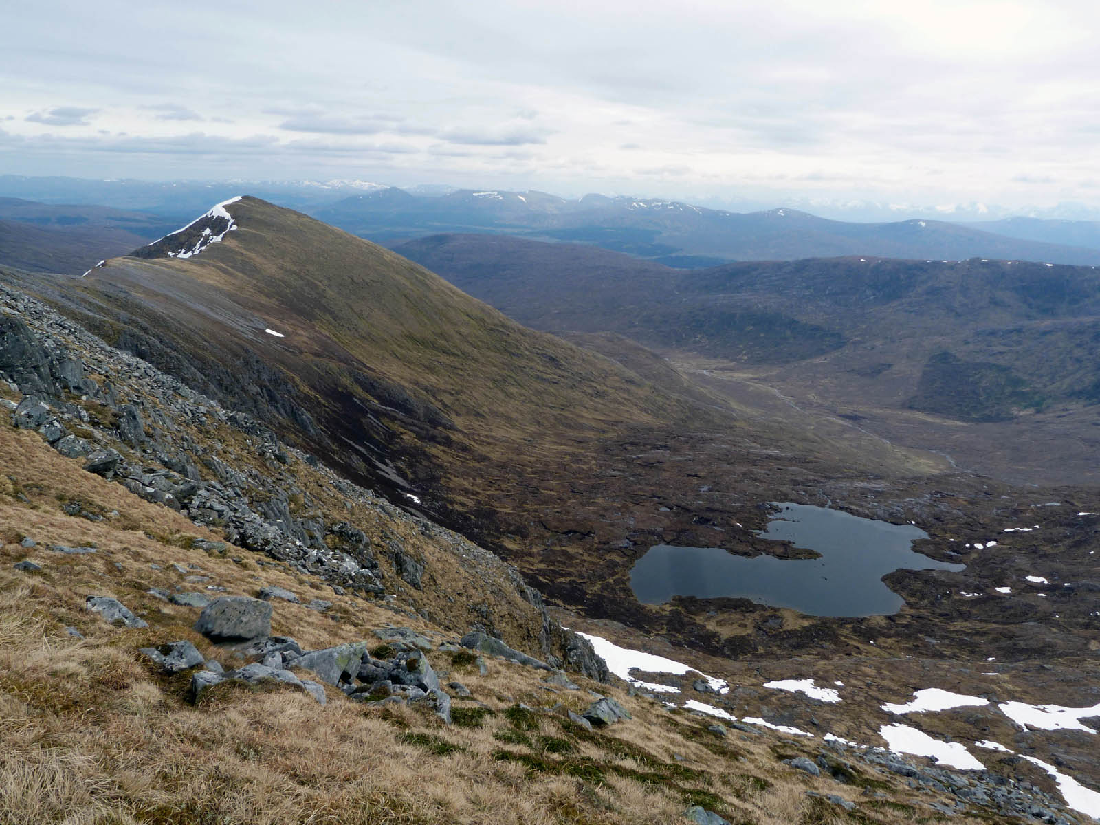
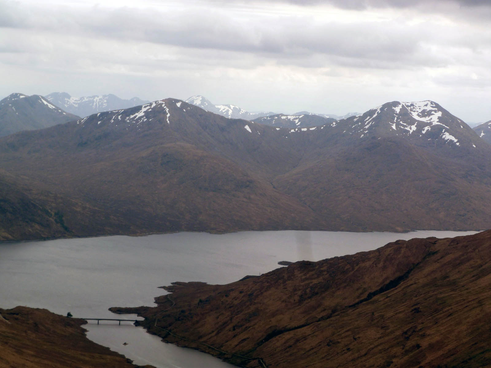
Creag Liathtais, which more or less marks the half-way point to the summit (half-way from sea-level that is!) and is from where the above photos were taken. On the left is (I think) looking north towards
Meall Breac, and on the right is Loch Loyne and the River Loyne below. Roughly half-way along the straight stretch between meanders is where I’d got my feet wet, about two hours earlier.
As we carried on upwards I heard voices – the first human voice I’d heard since the bloke told me about the first bridge yesterday. And they were miles away – with a wind and peace & quiet people’s voices really carry for a long way up here. Quite annoying – I was hoping to have the mountains to myself! I hadn’t realised at the the time of booking this was going to be a bank holiday weekend.
We were getting some nice views too now, as the zig-zags faded and the path straightened and steepened and the top neared. I’m not sure where the above-left view is now (I’m guessing looking south, over Glac Raineach and Beinn Bheag?) , but the above-right is to the north looking over Loch Cluanie.
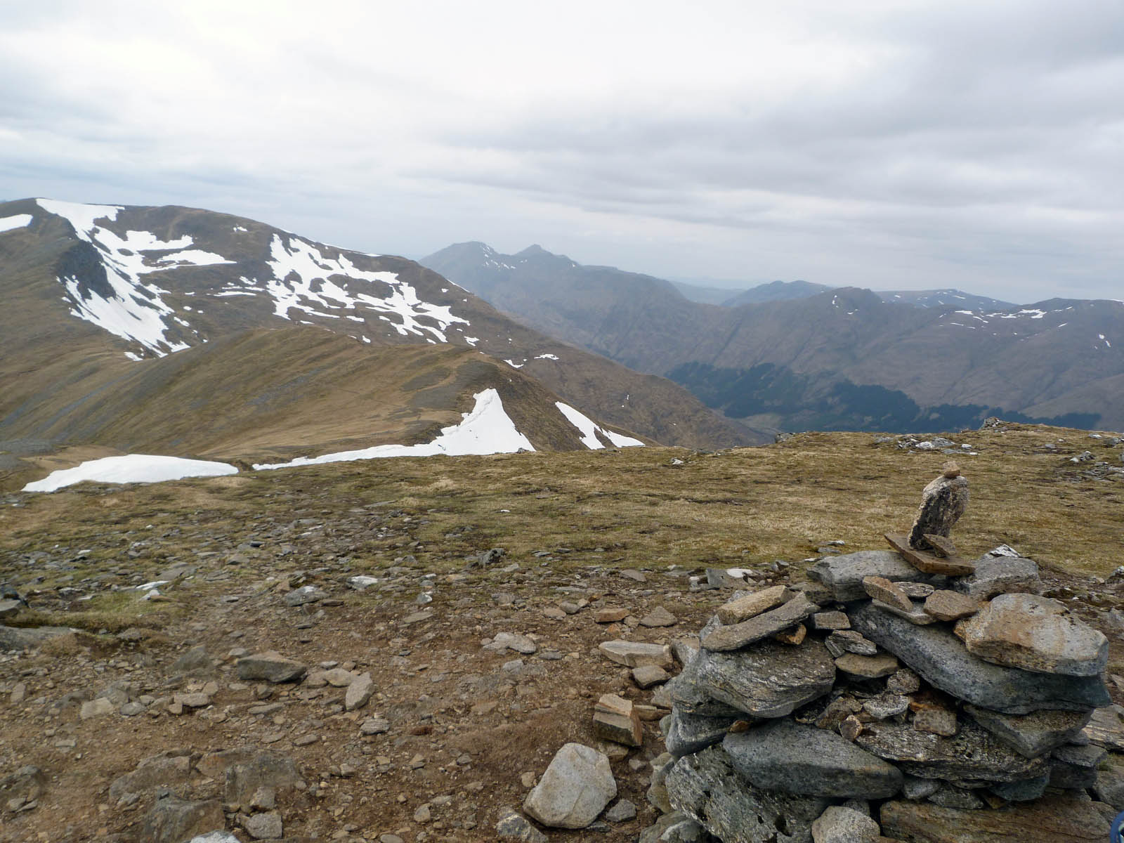
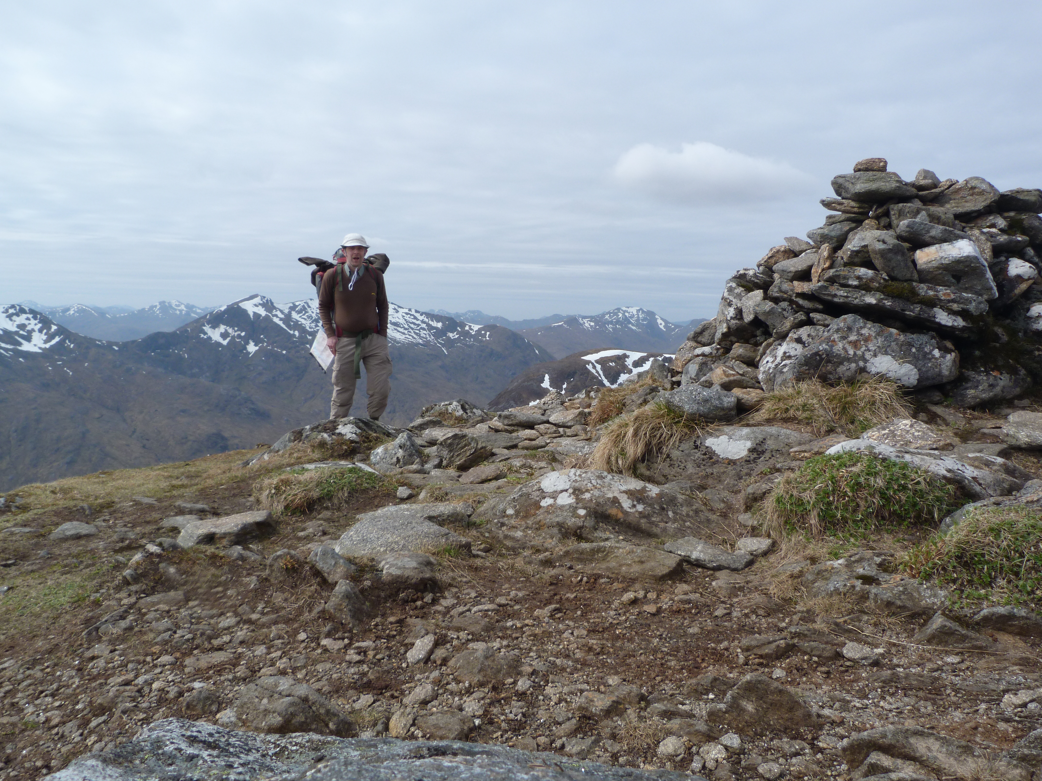 Creag a’ Mhaim
Then quite suddenly today’s first summit suddenly appears! And unbelievably has taken me best part of six hours to get here since setting off, so quite deserving of a selfie at the cairn of Creag a’ Mhaim I think!
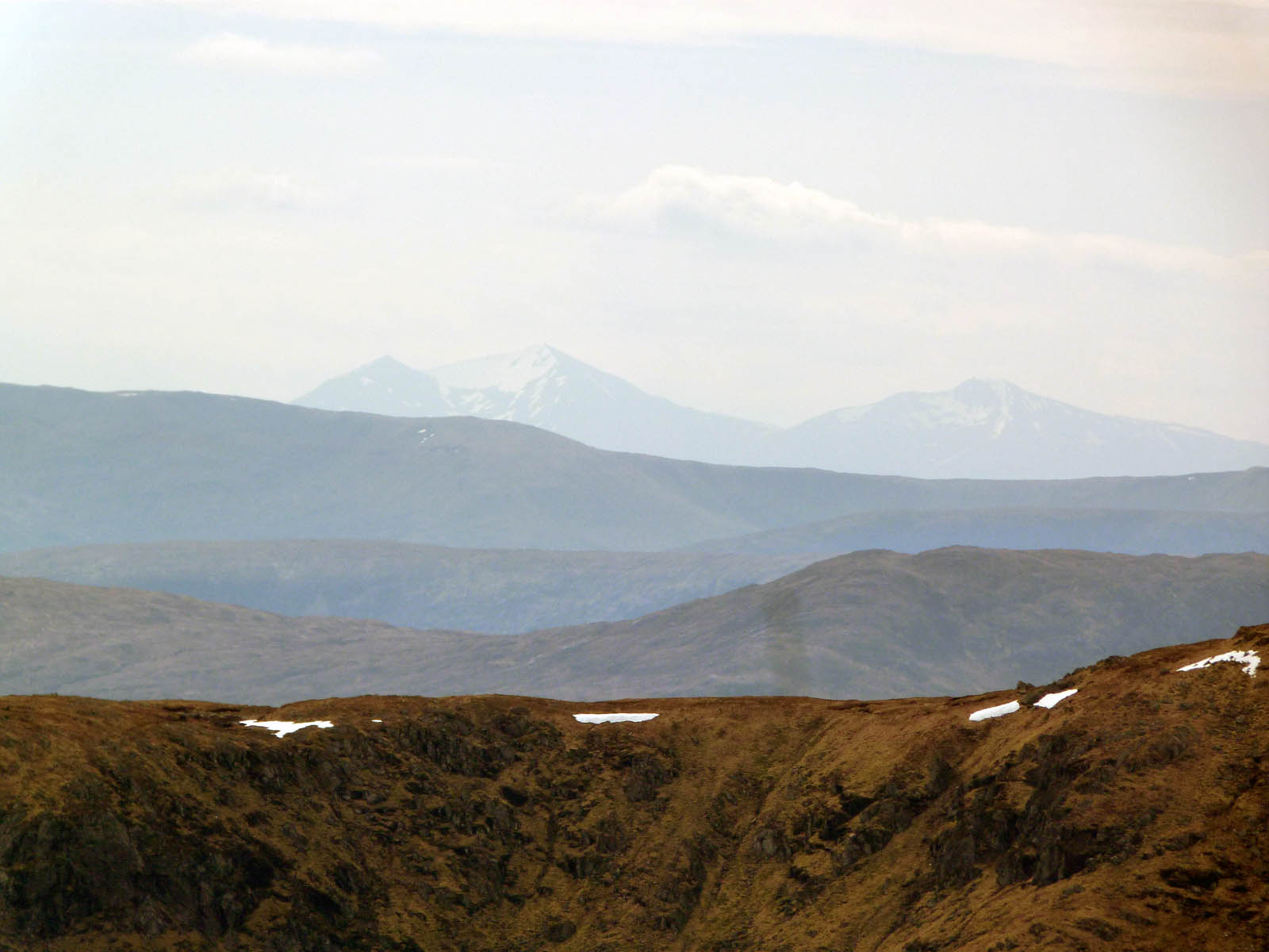
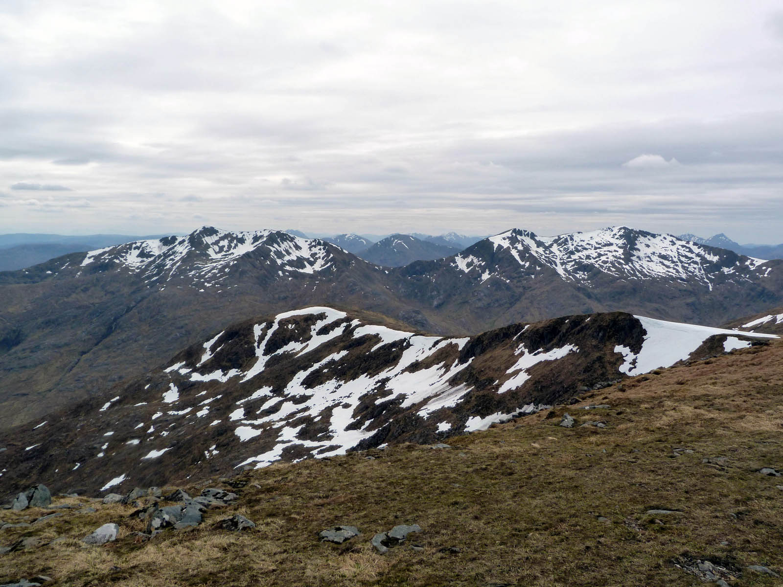
After such a long slog, it was so nice to be up on top at last. I was expecting a relatively easy-going ridge walk, seen stretching out ahead of the cairn to the above-left so hopefully we should make some good progress now. I was already calculating daylight hours left (even though that figure was currently nine!). The views were cracking, I think that’s Gleouraich and Spidean Mialach over Glen Loyne to the above right.
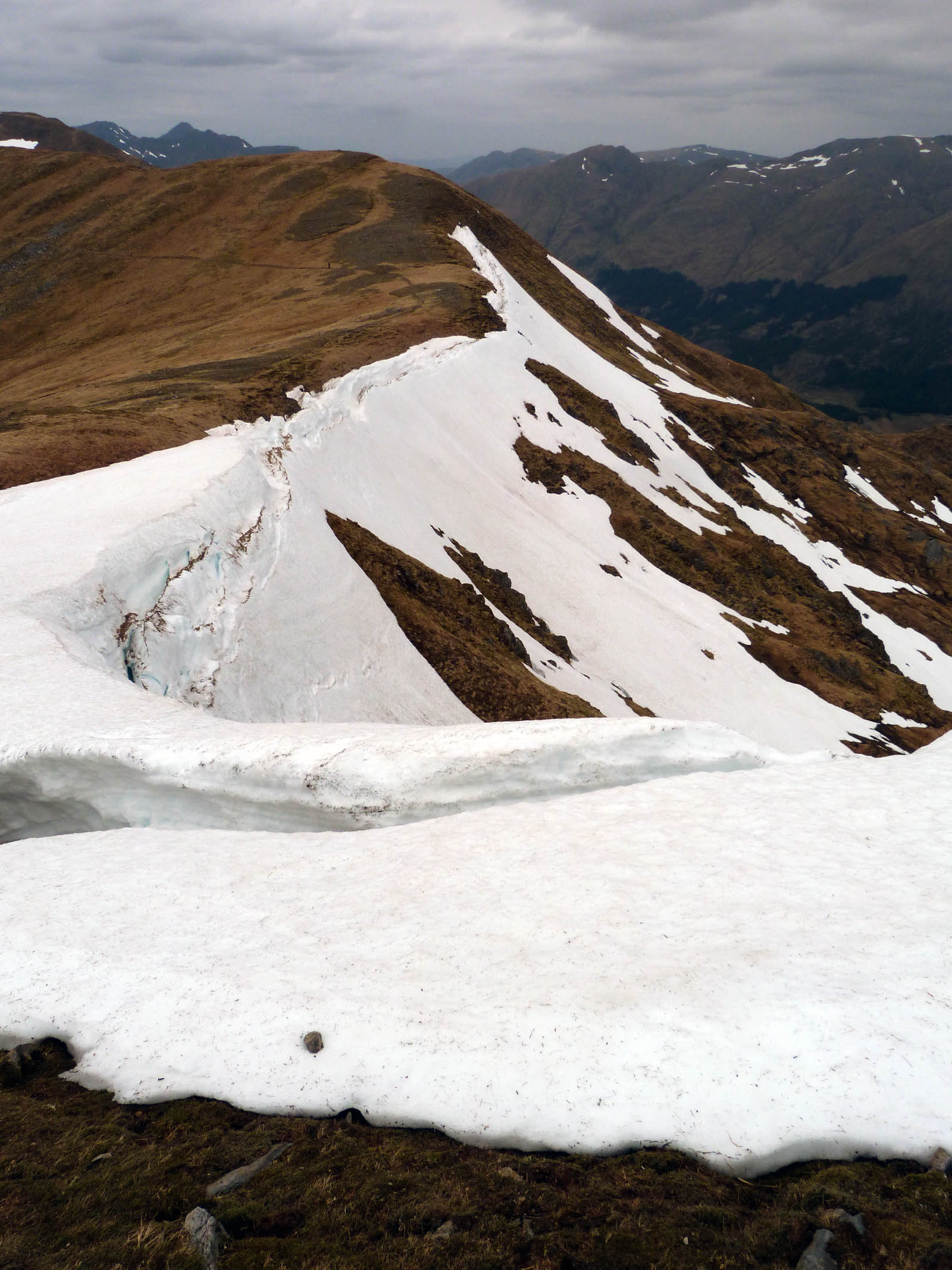
 Snow high above Loch Cluanie
As I descended from the summit Creag a’ Mhaim a North American couple sped past me heading up, and I marched on westward ho! The cloud was staying pleasingly high, and views of the numerous remaining snow patches were grand.
And the ridge itself made for a fine sight stretching out in both directions.
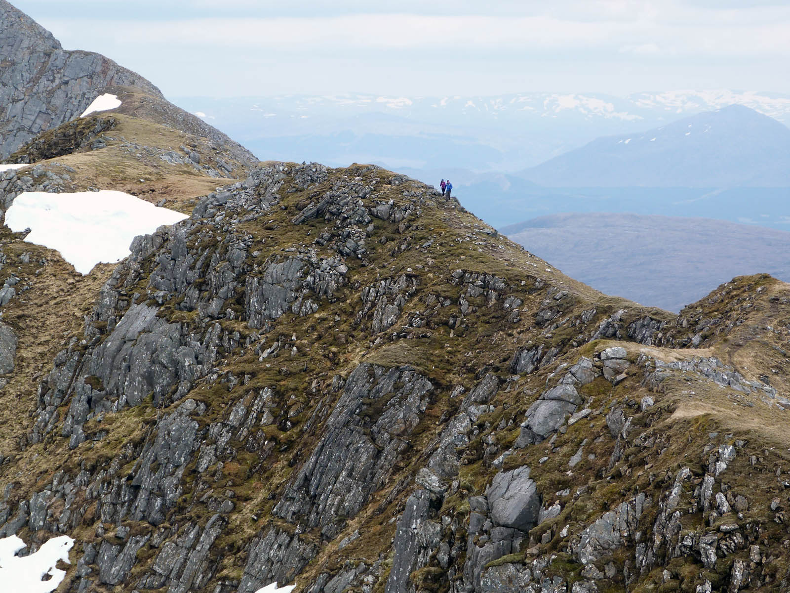
To the left looking back at Creag a’ Mhaim and to the right looking forwards towards the next summit, Druim Shionnach (ridge of the fox). Some people were already up there – possibly the chaps I’d heard earlier on the way up. Hopefully they’d be long gone by the time I got there - I do like my peace & quiet on the hills!
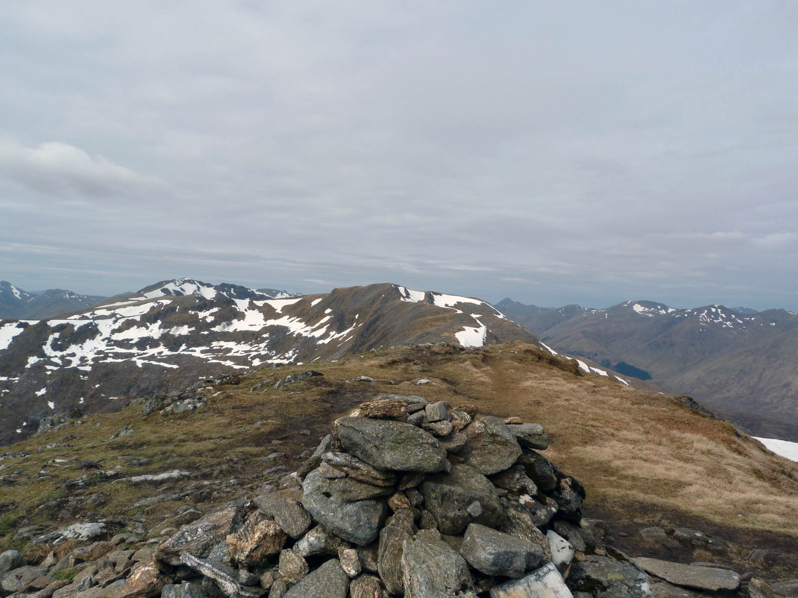
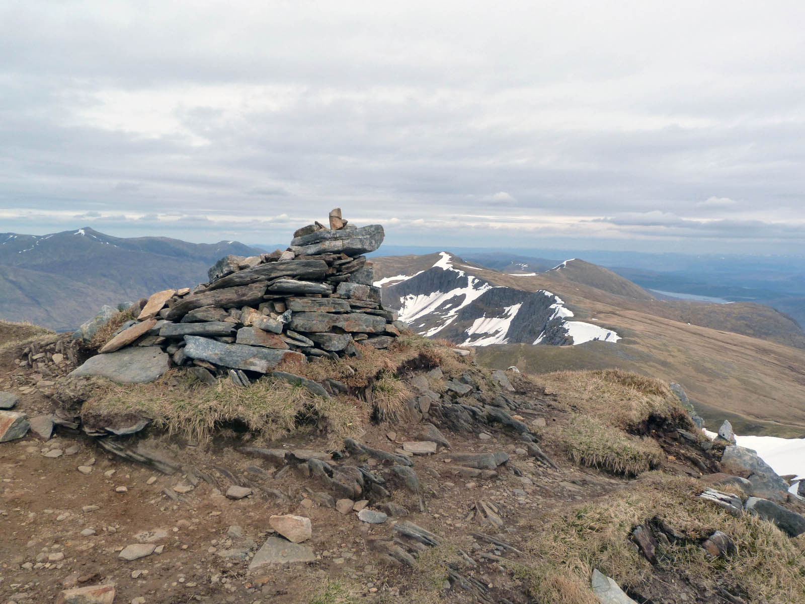
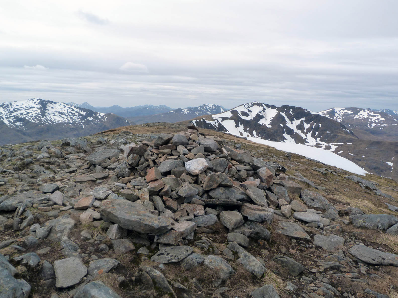 Cairn at Druim Shionnach
And indeed they were! But no time to linger enjoying the peace & quiet of the Druim Shionnach summit, must keep cracking on. The ridge was looking very long.
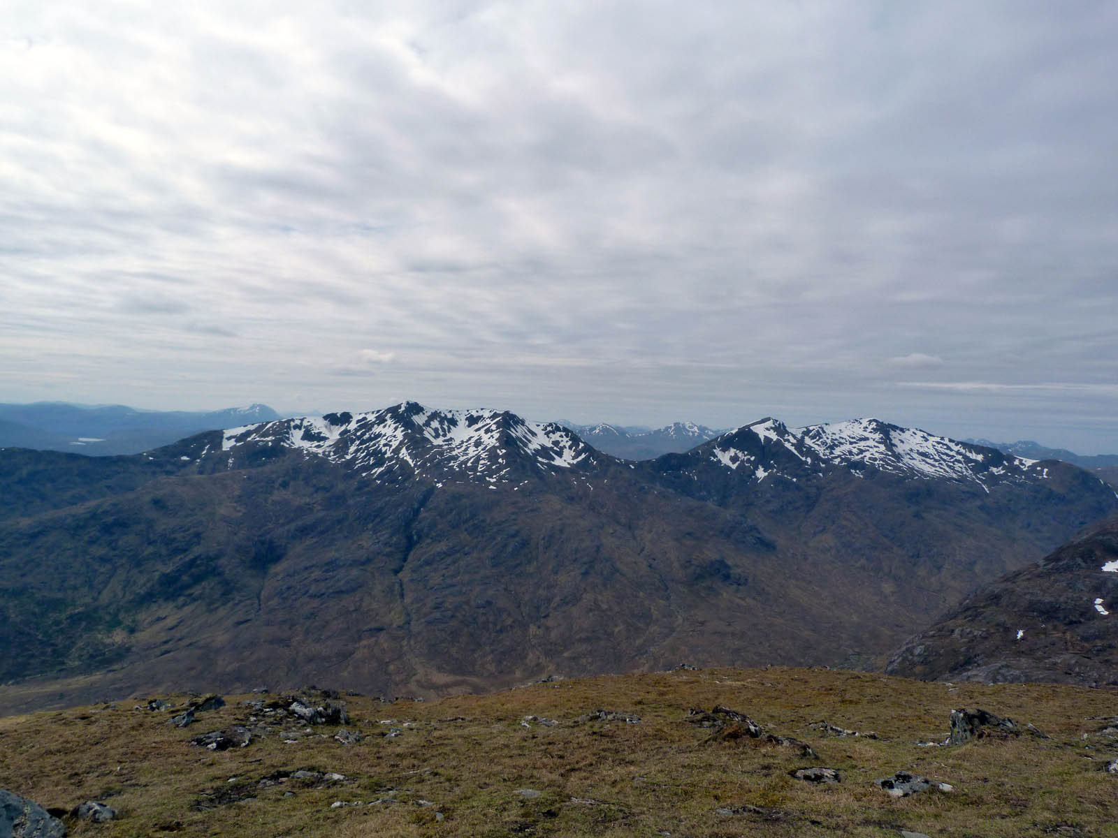
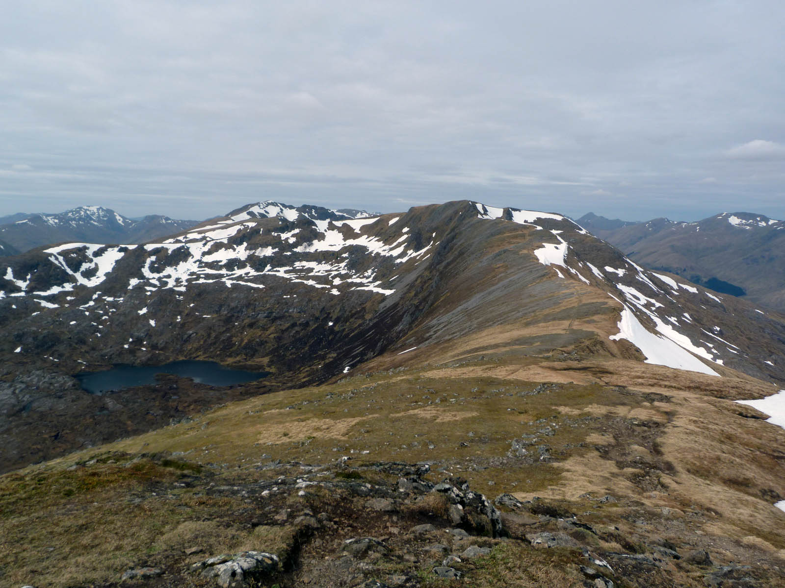
More nice views, although again I’m not entirely sure of what. Gleouraich and Spidean Mialach again to the left I think, and Loch a’ Mhaoil Dhisnich to the right.
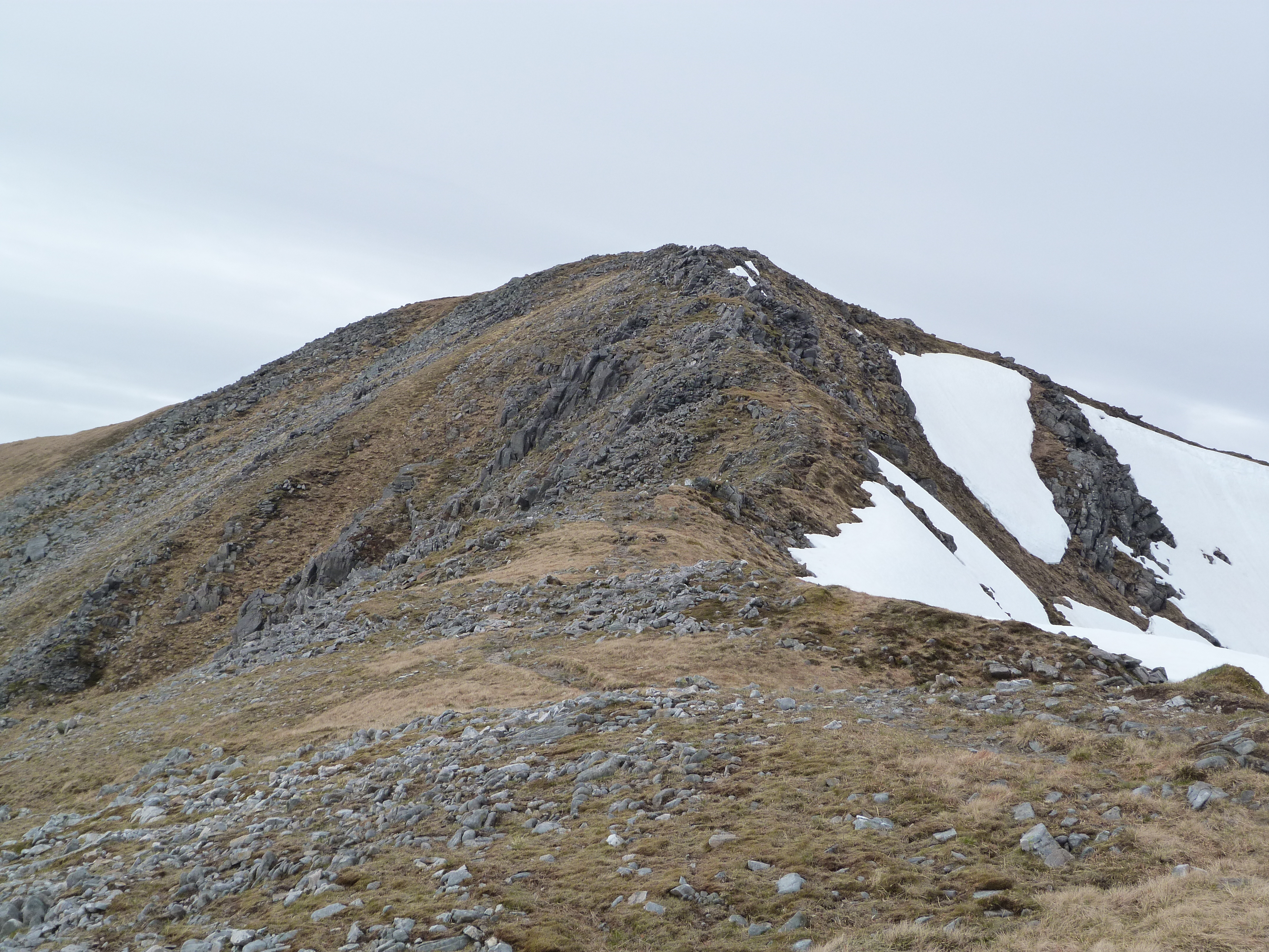
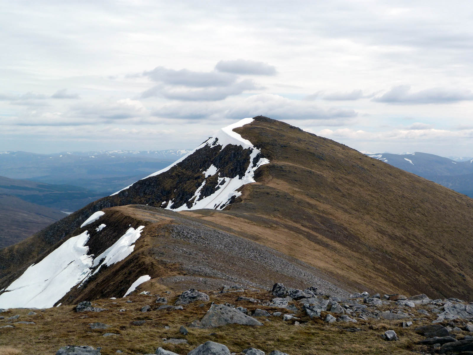
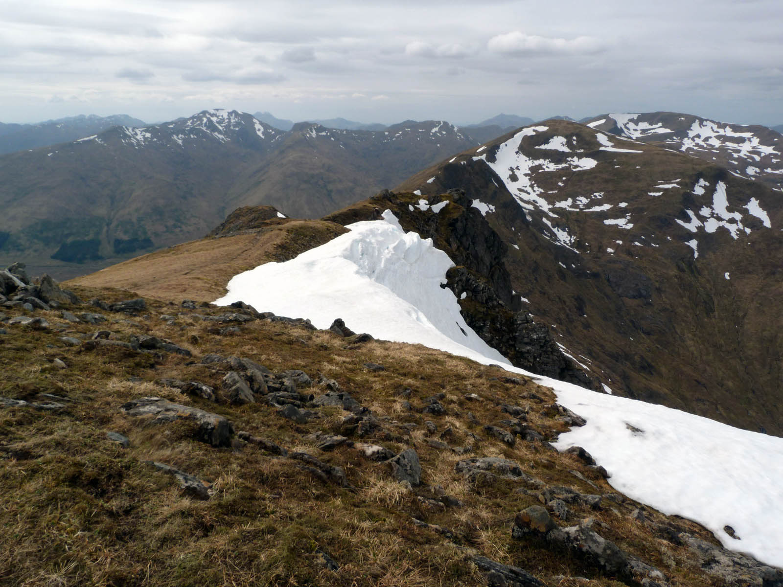
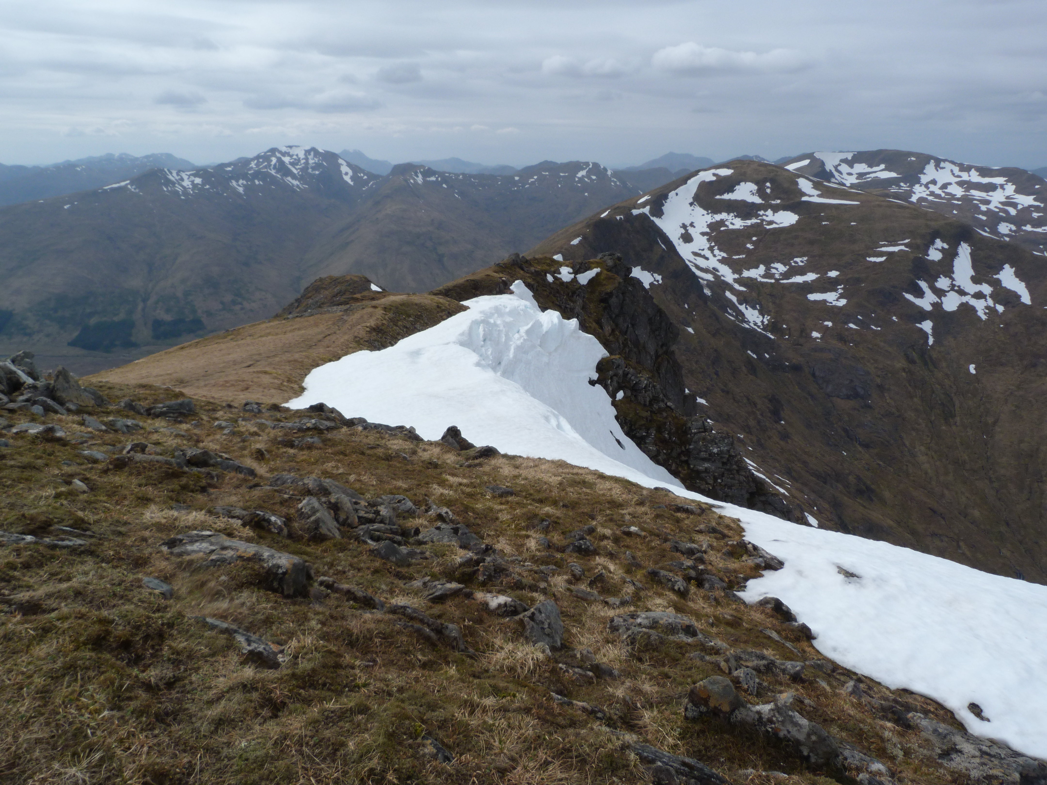
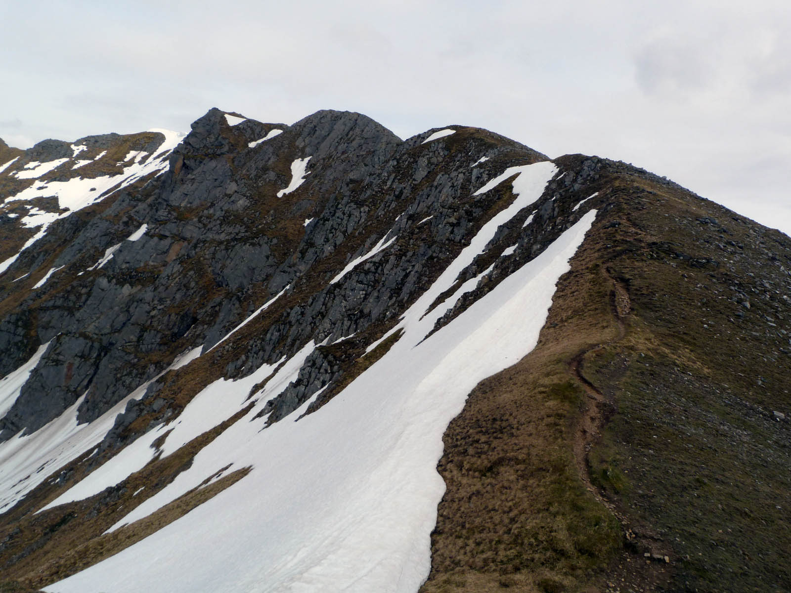
The terrain started to get a bit rougher now – looks like the eastern end of the ridge was a gentle introduction. This rocky scramble towards Aonach Air Chrith wasn’t going to be the last of the day. Or indeed the week!
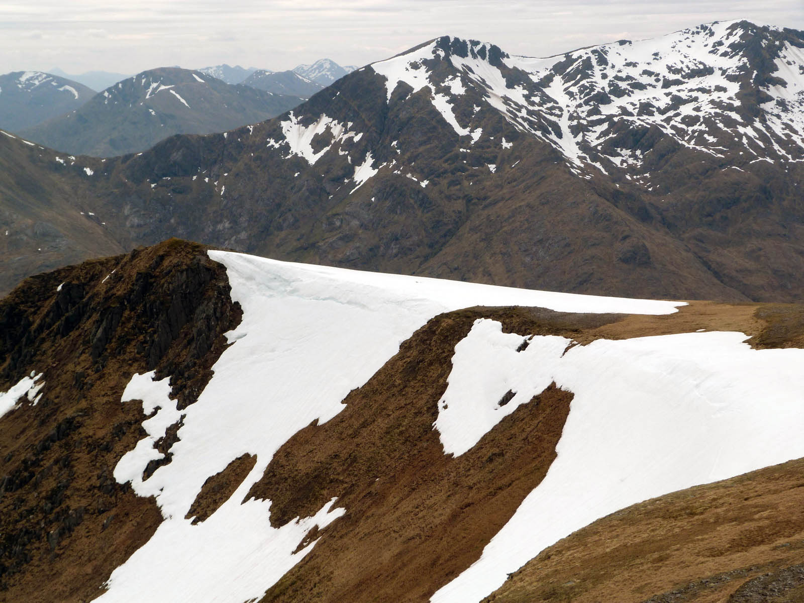
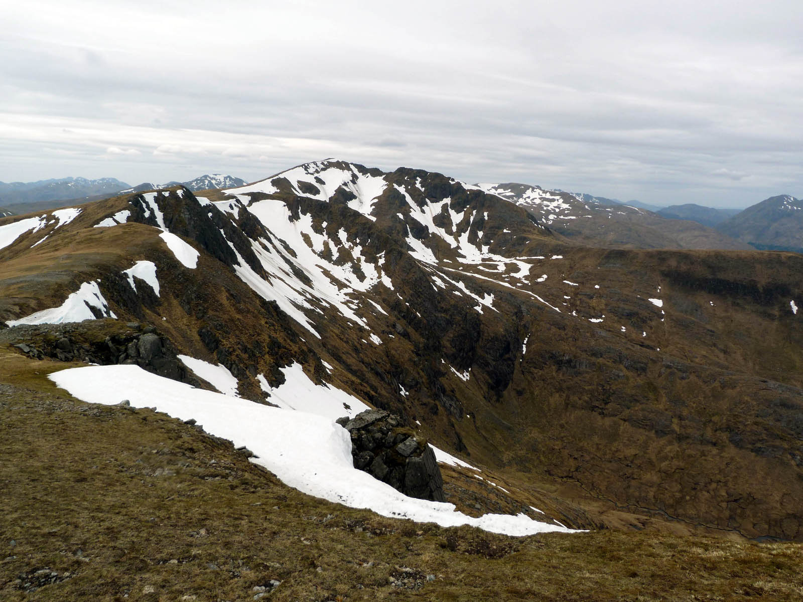
But still the nice views continued. Not sure how many people would be trying to cross the snowy south-running ridge above Coire nan Leac, but there seemed to be plenty of snow in store for us too as our ridge continues to the east.
I stopped for a rest here, and the American couple came past me again, with a speedy pace and much chattering. I don’t know people can find the breath to talk and walk at the same time. Possibly in better shape than me perhaps?!
Also 6 or 8 men all in black lycra shorts, black tops, black boots, and little black back-packs wielding black stick scuttled by at a right rate of knots, sweating and huffing and puffing as they went. They resembled a kind of giant angry robotic mountain centipede as they went. Surely this is not the way to enjoy the hills?! Each to their own I suppose.
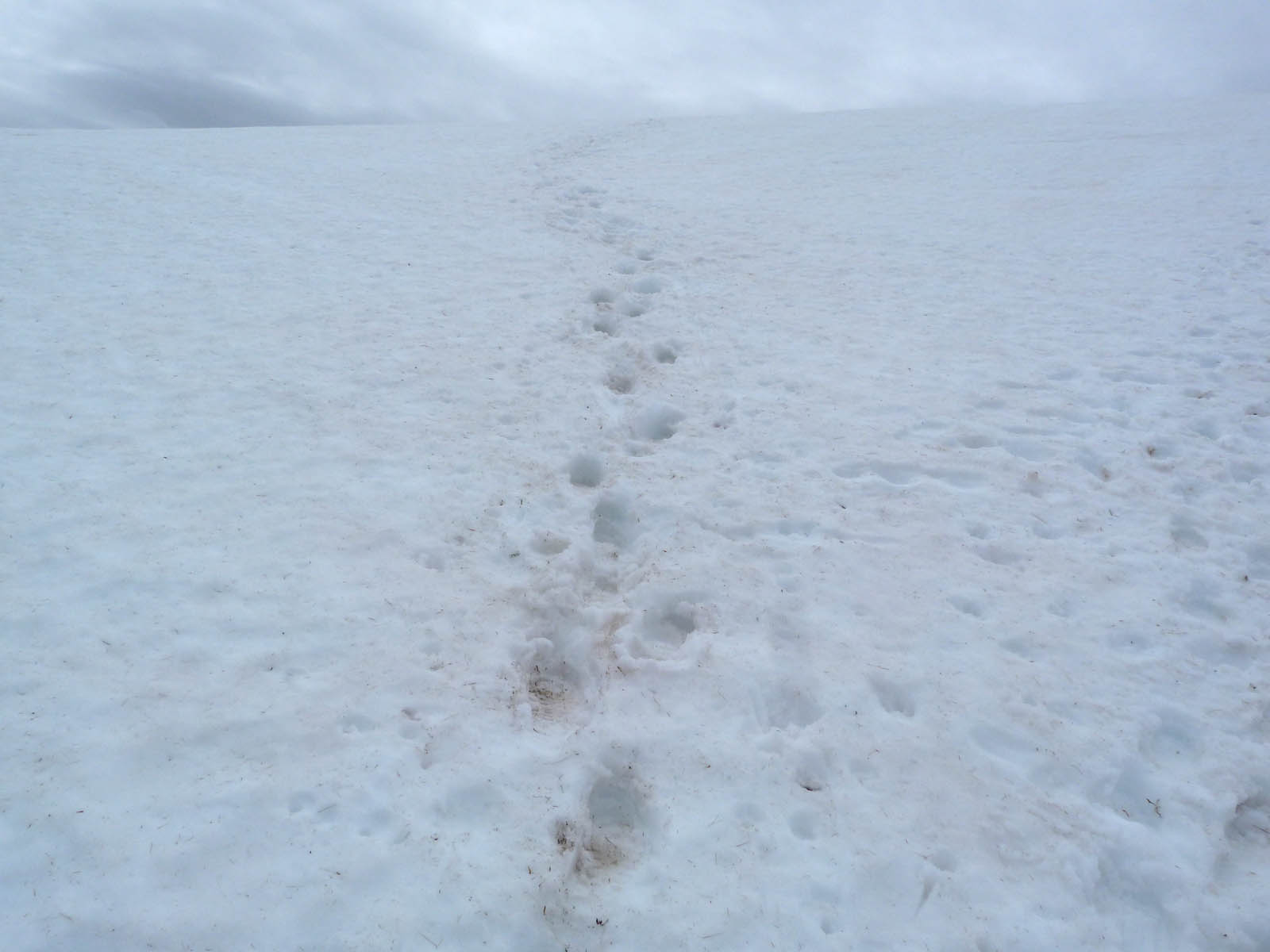
Then the snow got very close indeed, right in the way in fact. Thankfully there was footprints to follow so hopefully they’d be no huge voids underneath! But the snow was actually quite useful here. It’d had been quite warm so far and I’d drunk all my water already, but there was nowhere really up here to get some more. Except the run-off from the snow. Glen Shiel Glacial Melt Water! You could probably charge a fortune for it in the fancy shops in town. Mind you it didn’t taste very nice (compared to the sparkling stream water that is the usual source in these parts) but it was all there was, and both my bottles were nicely replenished with ice-cold funny tasting water. (I did of course thoroughly check all the snow that none of it was in any way yellow!)
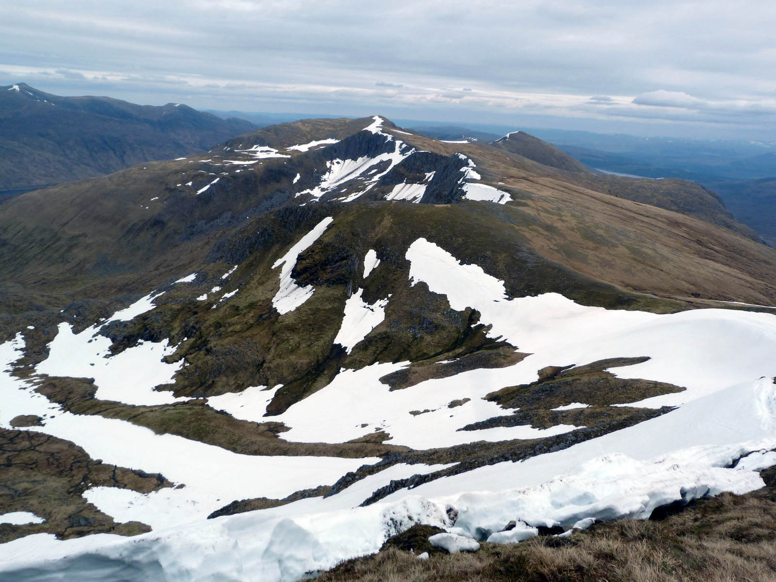
After the snow the ridge continued to stretch out ahead, gently rising for some way.
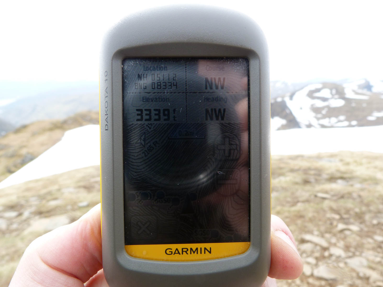
The ridge rose all the way to Aonach Air Chrith (the trembling hill) which at, according to my GPS, 3339ft is the highest point of the ridge. It was two o’clock now, over eight hours’ walking done and I was getting a bit tired but at least it all downhill from here!
Well mainly downhill with plenty of uphill bits in-between! And some of the downhill bits were very downhill indeed. These rocks above-right were a near vertical scramble downwards, and I was quite worried that I’d catch my rucksack on something behind that would then sending tumbling forwards. Thankfully I got down fine, apparently impressing the Americans whom I caught up with here. I told them that they must just have glanced up at me at the one moment when I wasn’t clinging on for dear life fretting about descending head first much quicker than I’d like!
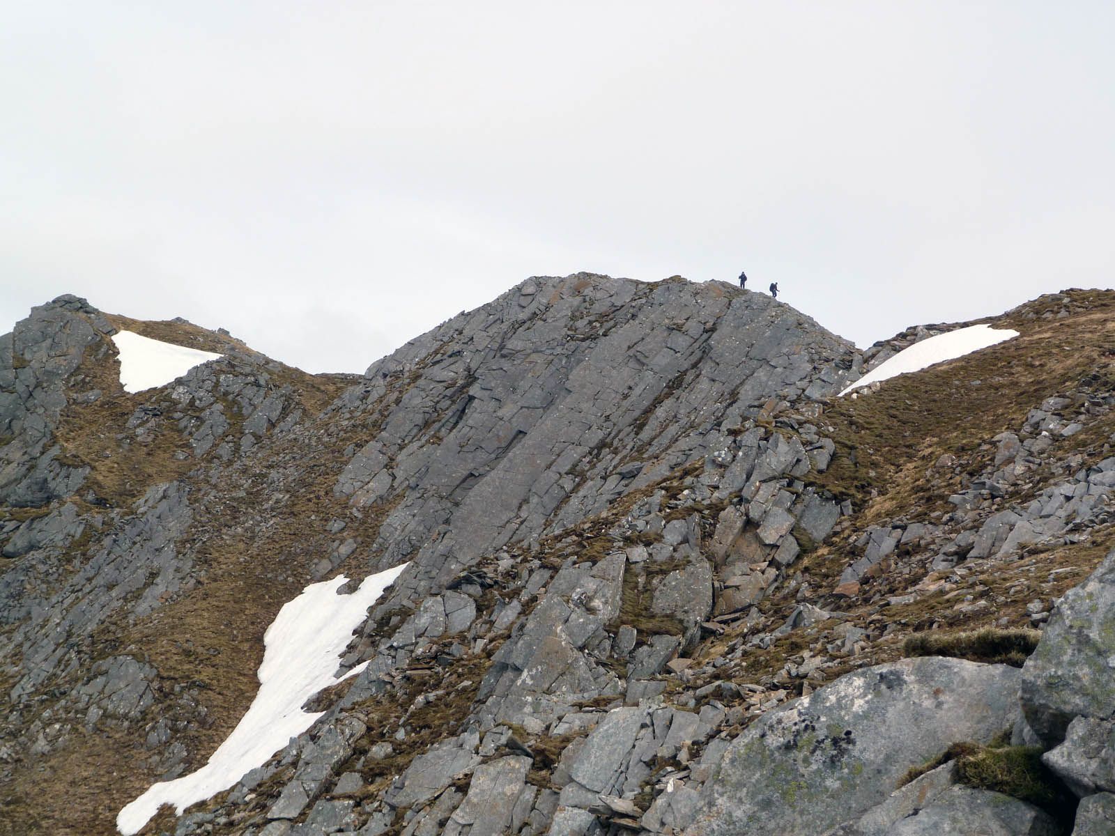
A short while further on I was to meet two Geordie lads – Dan and Kev I think – who were doing a mountain leader course which involved having to clock up 40 days’ out on the hills, of which this was one. “It’s this or buy a dog and take it to the pub!” they joked. I ended up walking with them a for while, only about half a mile though but it was the only time I’d walk with anyone for the whole trip. That’s them in the above-left pic I think just coming down to the vertical rocky scramble above.
 Loch Cuaich and (I think) Gairich and Sgùrr Mòr
Getting on for 3.30pm now and about half way along the ridge I was getting pretty tired. If I didn’t bail out soon I’d have to keep on until the end of the ridge – unless I wanted to forge my own way down, which I didn’t really. So I decided on one more summit after which there was stalker’s path heading down back in to Glen Quoich where I’d be camping that night, although it was still quite a walk to where I’m planned to stop but easier walking on the nice track down there than up here.
As I looked back I saw the American couple coming over – I hope they happen to stumble across this as they’re rather nice photos! Even if I do say so myself.
One final slog upwards now and I’m at the final summit of the day – Maol Chinn-dearg (bald red hill). The fourth Munro of the day! Not bad going I think with this blimming bag on my pack.
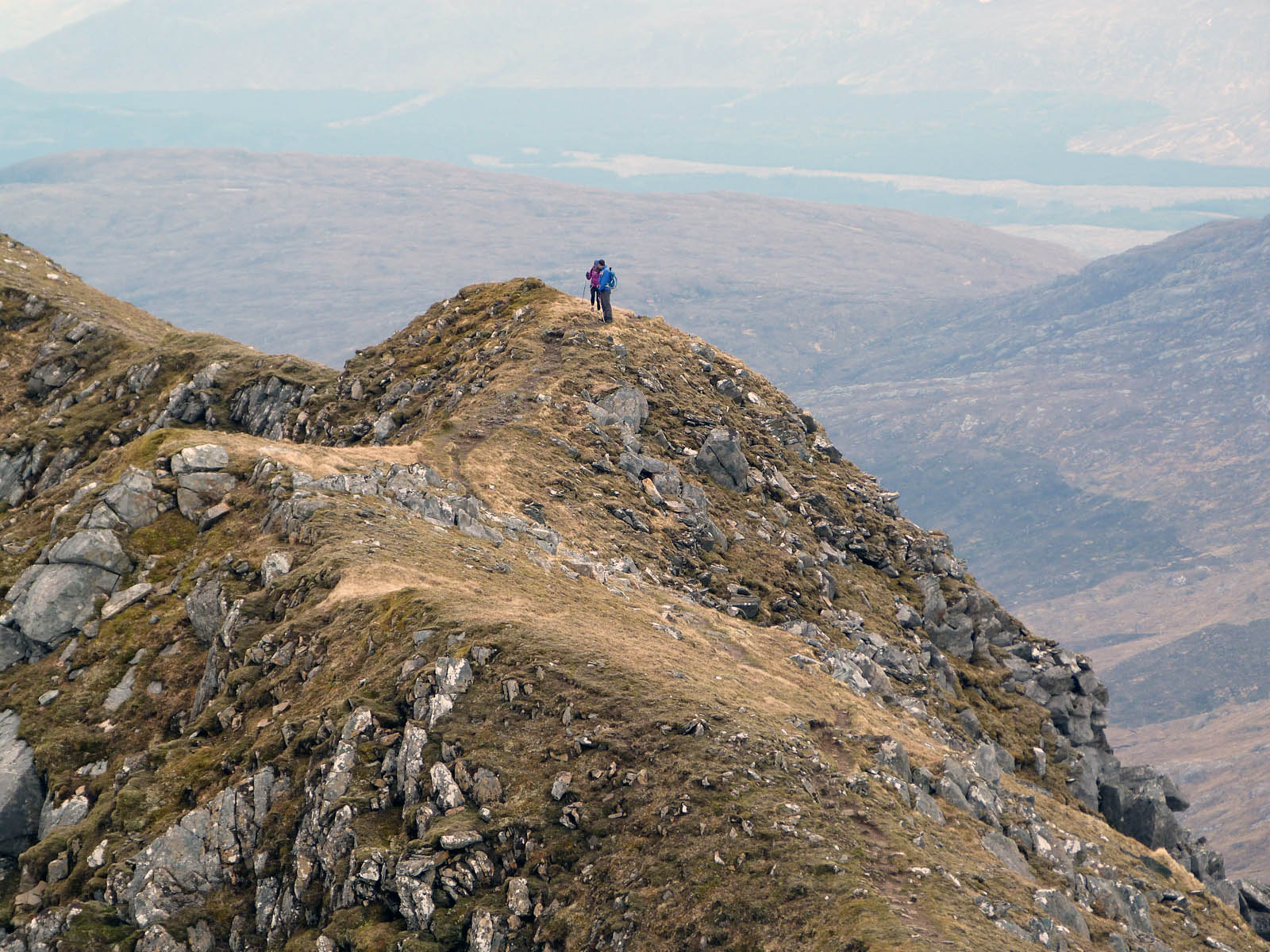
It was here that I was to head south and down, the Geordies were heading north back to their car to look for a pub (it was a Saturday night after all!) and the Americans were planning to carry on west to the end of the ridge. I hope they made it! In the photo on the right you can see the path carrying on just under the peak with someone coming this way, and just below that you can just make out my path taking me back down through Teanga na Féinne to the glen.
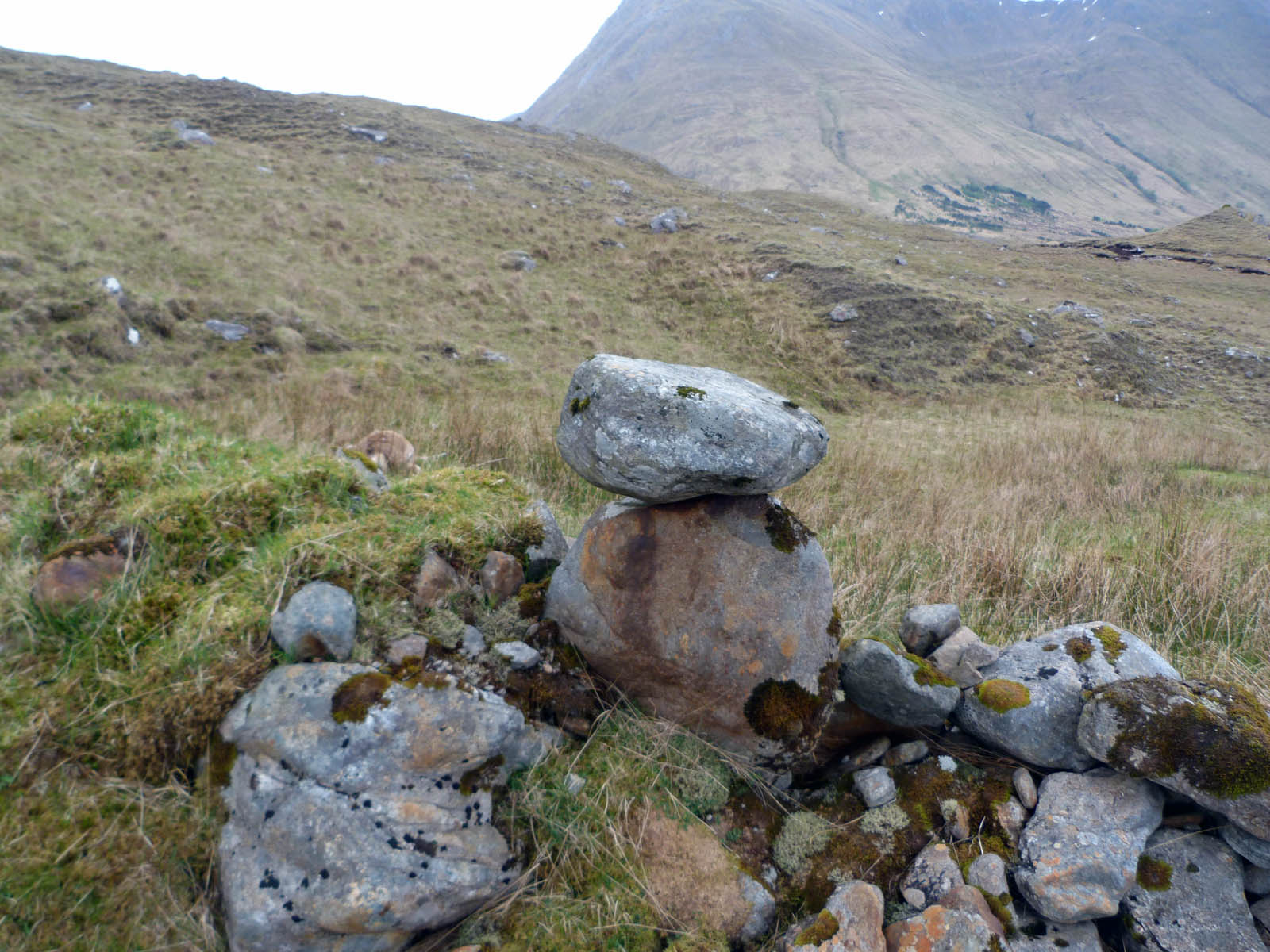
And a very steep horrible descent it was, the path soon disappeared, even at the crossing point over the stream there was no sign of. So I did end up having to make my own way through the lumpy marshy grass, dodging rocks and crags. Never the most fun you could imagine! As I got to the bottom there was a funny smell… it was a big dead dear just behind a small ridge by the stream, seemingly marked by a Easter Island style rock sculpture.
The rain was starting to come down now, so I pitched up on the first decent looking bit of land I found. By the moody looking old
shielings of Doireleathan, (the hamlet by the broad grove) again a couple of miles away from where than I’d planned. But it was coming quite heavy so it world have to do.
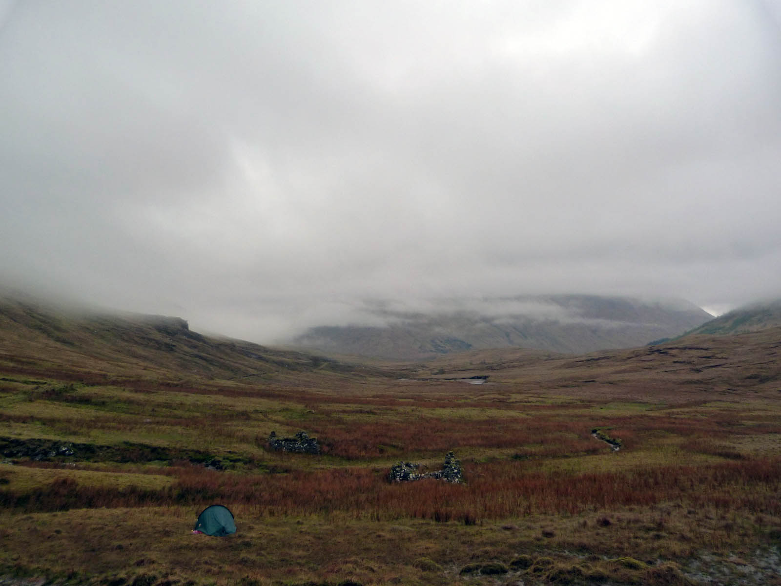
By the time the tent was up it was gone 6pm, I’d been walking over 12 hours – the rucksack was really slowing me down. I’d toyed with the idea of a couple more Munros tomorrow – possibly. But had planned to do two more on the way in to Inverie (Luinne Bheinn and Meille Bhuide). Wasn’t feeling too sure now. I was knackered and as the rain came down, I dined on beans straight from the tin and I was tucked up by 8pm. I slept soundly for the next ten hours!
