
Home Away From Home
During last summer I decided to climb as many hills as possible, whether Munros, Corbetts or Grahams, and with public transport still the only option for my solo climbs, that meant an inevitable focus on the Arrochar Alps/Ardgarten hills. I had climbed Beinn Ime a couple of weeks before but couldn't get round to Beinn Luibhean due to squalid conditions on the final ascent/descent. Fast forward two weeks and I was back on the zig-zag Cobbler path yet again, methodically going for another one of the Arrochar hills! At least the path is great quality and has the classic view of the Cobbler to give you strength.
At the double bealach between Cobbler/Ime/Narnain, I bore left just after the gate to cross the South-Western side of Beinn Ime towards Beinn Luibhean. the undulating nature of the grooves here was frustrating, but less than an hour later I was at the col between Beinn Ime and Beinn Luibhean. The final climb in mist was surprisingly quick (c.20 minutes from the last bealach) with the descent even quicker, and the view even cleared up slightly at the top, with the hum of traffic from the A83 accompanied by a glimpse of the famed Rest and be Thankful car park. I made sure not to dislodge any rocks on the summit, what with this being 'The Landslide Hill'.
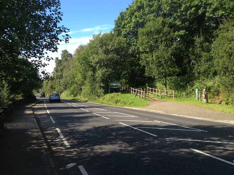 IMG_9145 by Craiging619, on Flickr
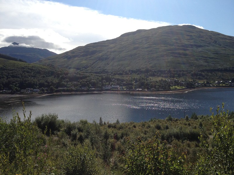 IMG_9148 by Craiging619, on Flickr
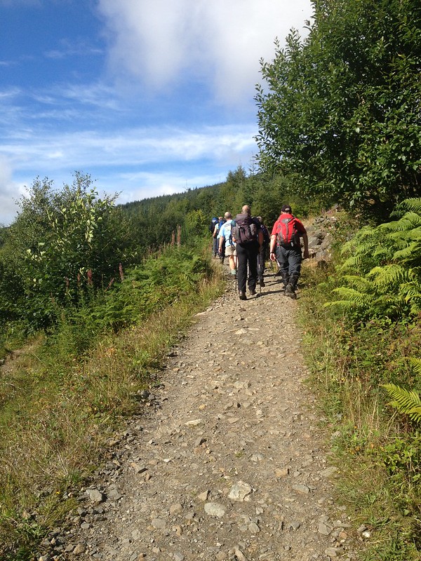 IMG_9149 by Craiging619, on Flickr
Traffic on the Motorway.
 IMG_9150 by Craiging619, on Flickr
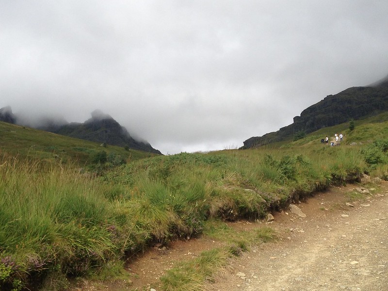 IMG_9151 by Craiging619, on Flickr
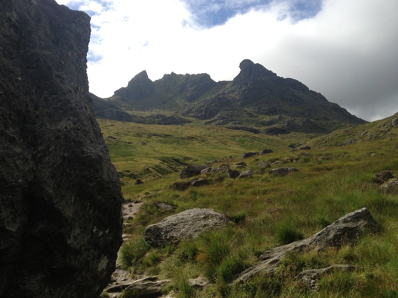
A gratuitous number of shots of The Cobbler.
 IMG_9153 by Craiging619, on Flickr
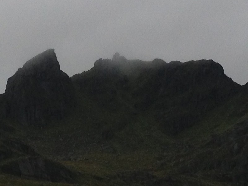 IMG_9156 by Craiging619, on Flickr
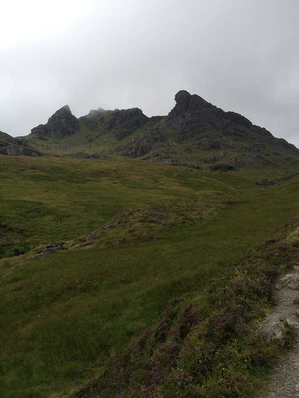 IMG_9158 by Craiging619, on Flickr
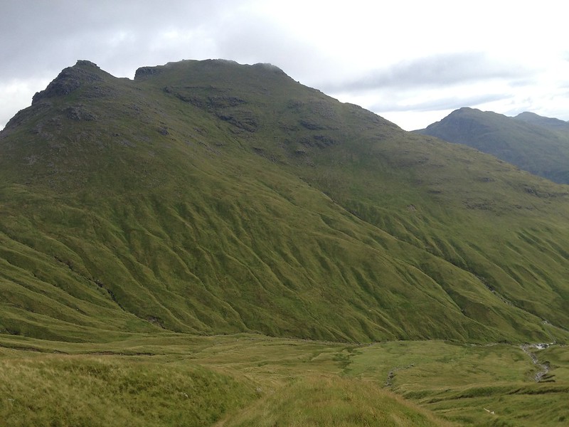
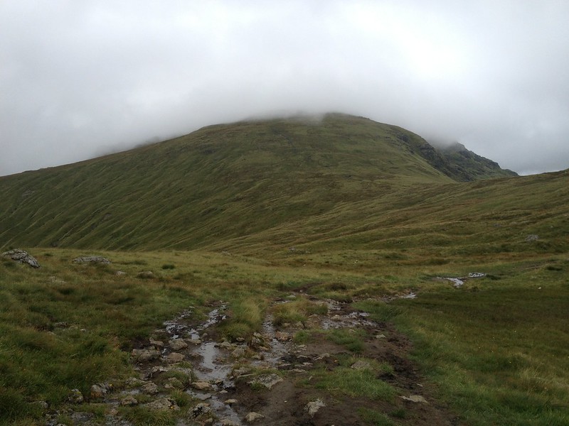 IMG_9162 by Craiging619, on Flickr
Beinn Ime hidden in cloud, much like two weeks earlier.
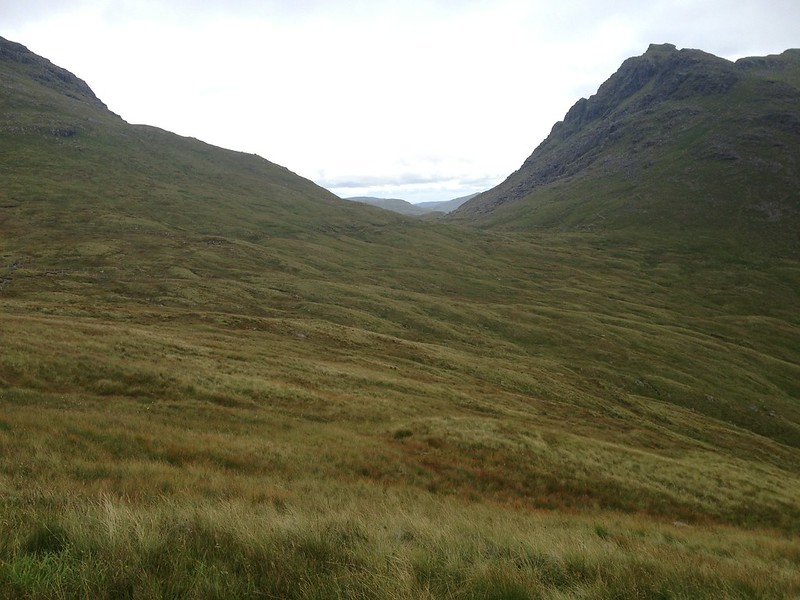
 IMG_9166 by Craiging619, on Flickr
From the Bealach a'Mhaim I tried to stay roughly level while heading round to the Beinn Ime-Beinn Luibhean col.
 IMG_9167 by Craiging619, on Flickr
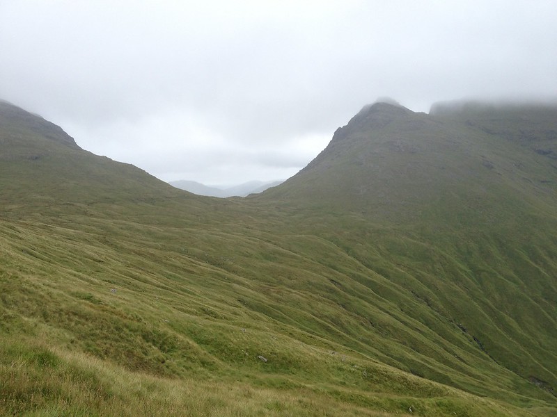
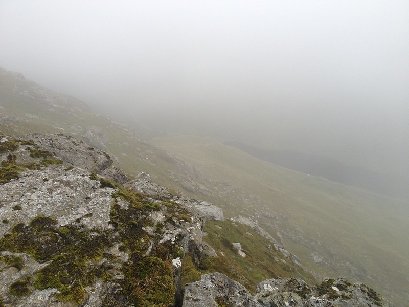
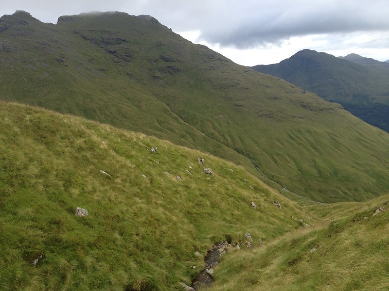
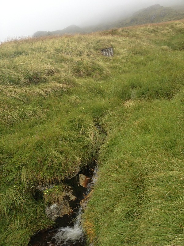 IMG_9168 by Craiging619, on Flickr
There are countless grooves in the hillside to be crossed underneath Beinn Ime.
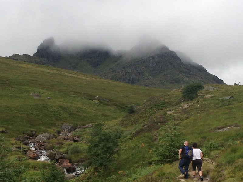
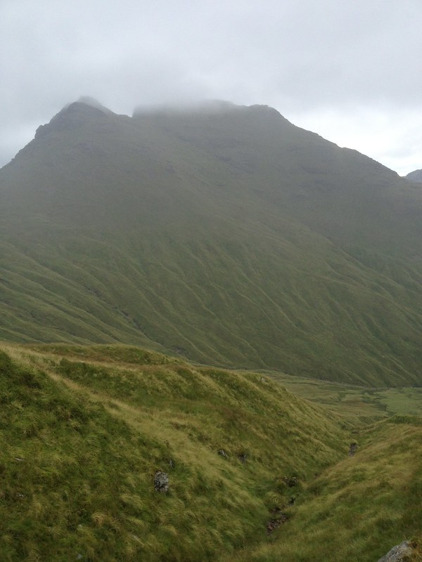
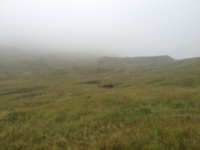 IMG_9171 by Craiging619, on Flickr
At the col I turned slightly more West and headed up into the clouds.
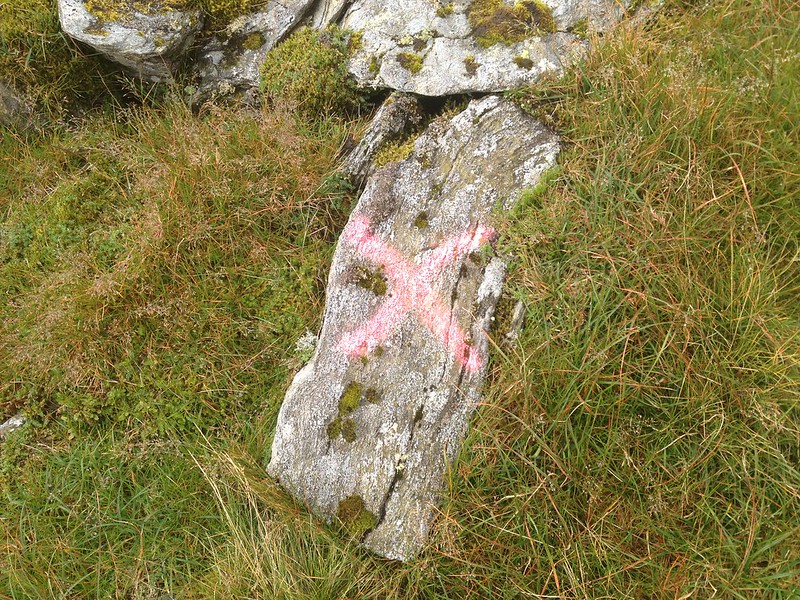 IMG_9175 by Craiging619, on Flickr
X marks the summit! (Nearly)
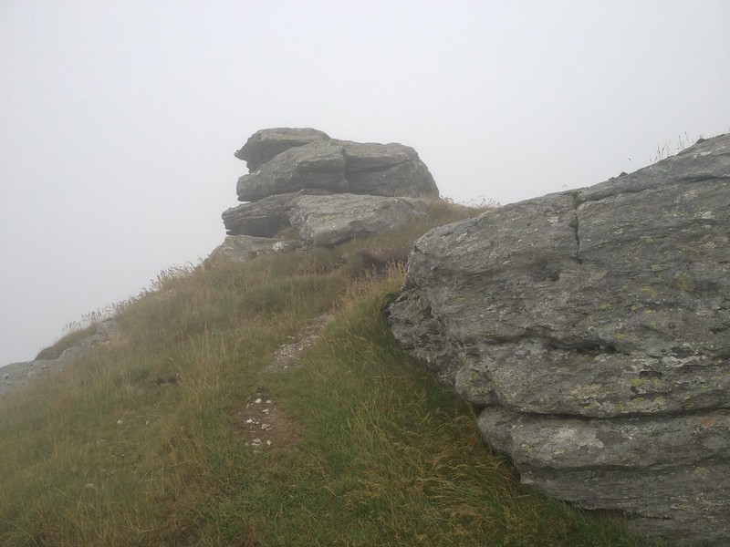 IMG_9176 by Craiging619, on Flickr
A mini-path appeared from somewhere. Nearly there I think!
 IMG_9178 by Craiging619, on Flickr
At the top! It was the right way round when I took it...
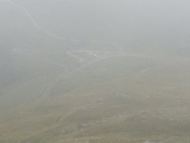
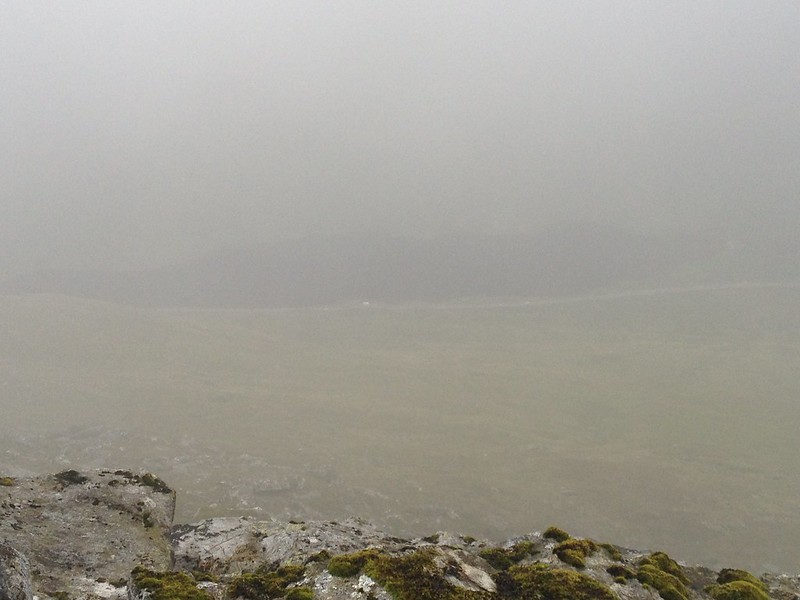 IMG_9180 by Craiging619, on Flickr
The landslide section of the A83 appeared from the mist.
 IMG_9181 by Craiging619, on Flickr
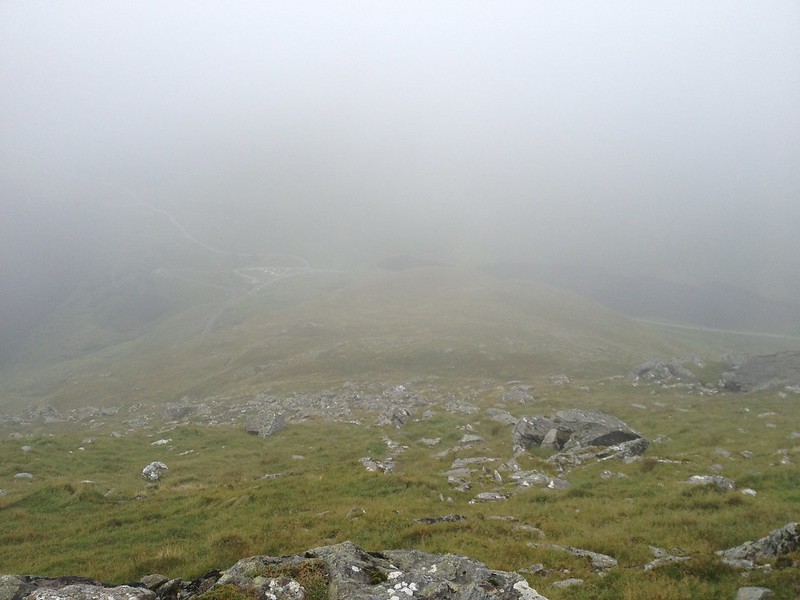 IMG_9183 by Craiging619, on Flickr
The hum of traffic showed up again as the Rest and be Thankful came into view.
 IMG_9184 by Craiging619, on Flickr
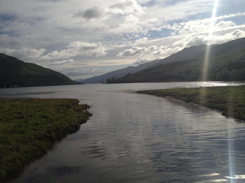
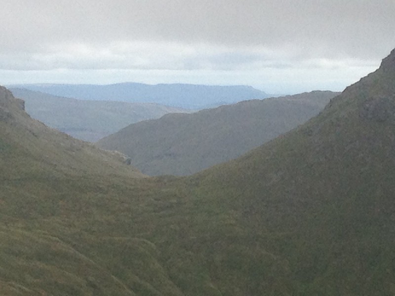 IMG_9193 by Craiging619, on Flickr
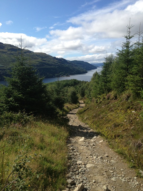
On the descent the Campsies appeared to the South-East.
 IMG_9198 by Craiging619, on Flickr
Back to the huge grooves near the Bealach a'Mhaim.
 IMG_9199 by Craiging619, on Flickr
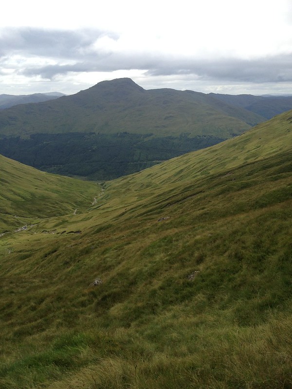 IMG_9202 by Craiging619, on Flickr
The Brack, scene of a horrific snow-climb a few months back.
 IMG_9205 by Craiging619, on Flickr
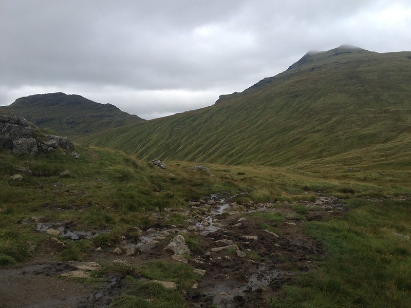 IMG_9208 by Craiging619, on Flickr
Beinn Luibhean and Beinn Ime finally appeared out of the clouds as I reached the bealach again.
 IMG_9213 by Craiging619, on Flickr
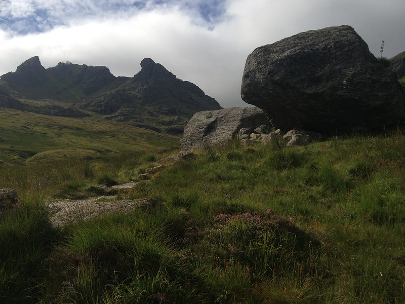
The Narnain Boulders.
 IMG_9214 by Craiging619, on Flickr
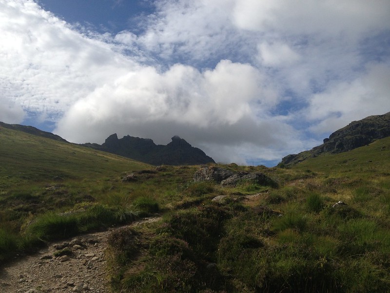 IMG_9215 by Craiging619, on Flickr
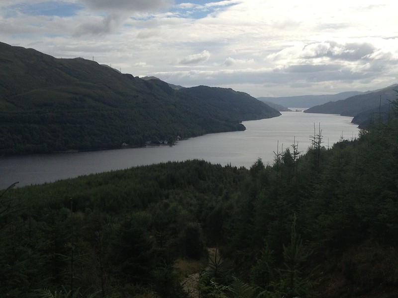 IMG_9218 by Craiging619, on Flickr
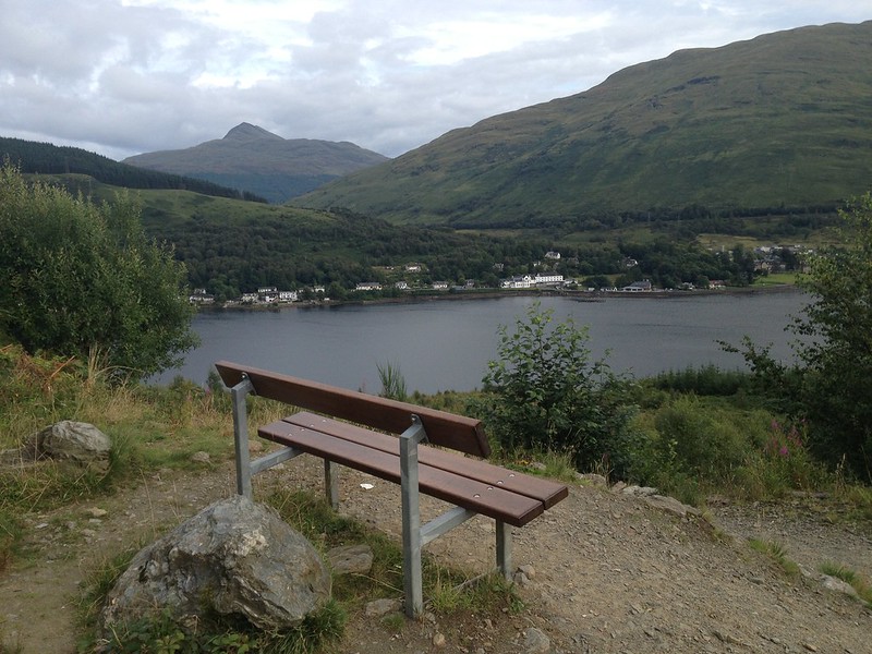 IMG_9219 by Craiging619, on Flickr
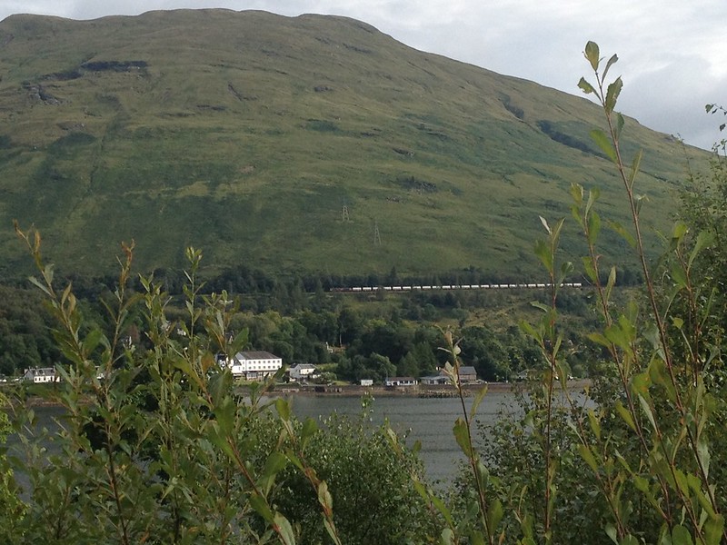 IMG_9221 by Craiging619, on Flickr
A tourist train heads North towards Crianlarich.
 IMG_9225 by Craiging619, on Flickr
 IMG_9230 by Craiging619, on Flickr
A nice pre-dinner at the Arrochar Tearoom.