free to be able to rate and comment on reports (as well as access 1:25000 mapping).
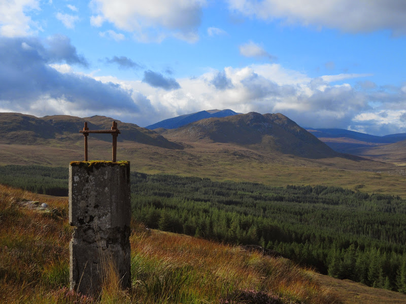
Sub 2000 Marilyns: An Cabar.
Date: 07/09/2014.
Distance: 14.5km
Ascent: 720m
Time taken: 3 housr, 45 minutes.
Weather: Heavy showers with sunny spells.
I had the whole day to go walking, but the rubbish weather meant I had a lie-in instead. There looked like a few weather breaks to the east, so I eventually got moving in the direction of Loch Luichart, arriving at Grudie Bridge shortly after 4pm. An Cabar was the plan, also including Meall a' Chuilinn and Carn na Beiste. I remember a friend telling me about a surge shaft for the hydro scheme up on the ridge above Grudie Bridge. He reckoned it was almost possible to fall in. A full map of the hydro network in this area can be found
here.
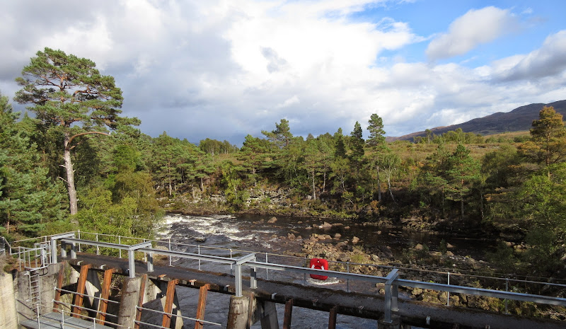
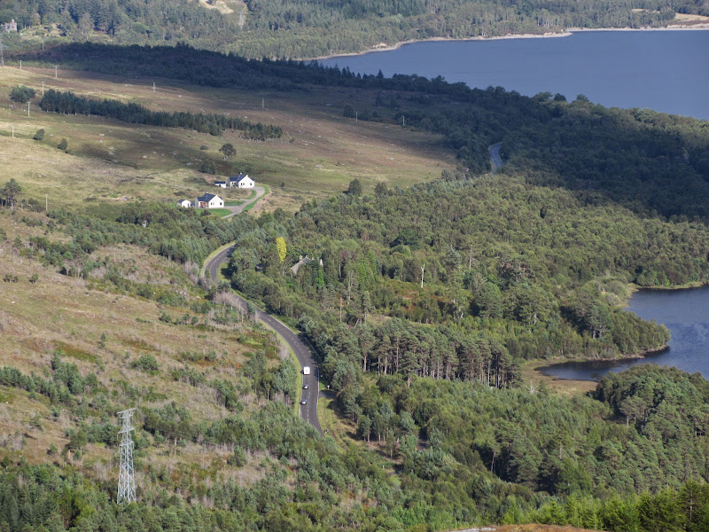
I made a last minute change of plan and decided to do the route clockwise instead. There's a gate through deer fence just to the west of the power station, and you can follow a vehicle track up next to the main pipeline.
River Bran:
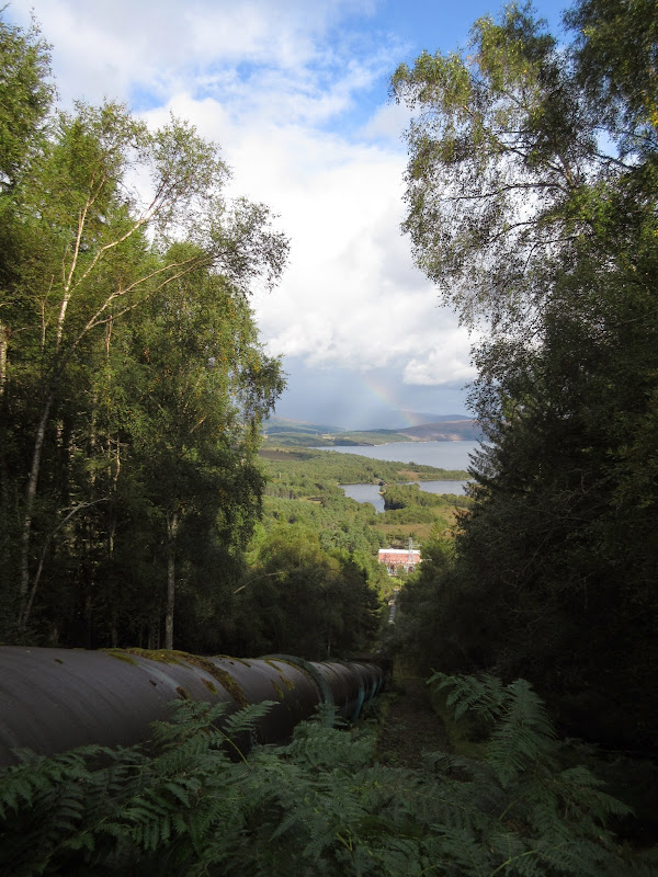
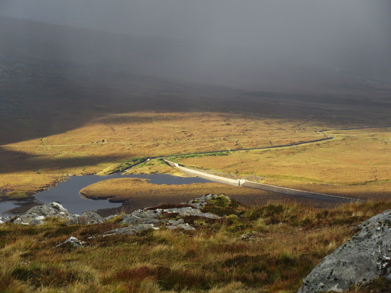
Loch Luichart and the pipeline down to the power station:
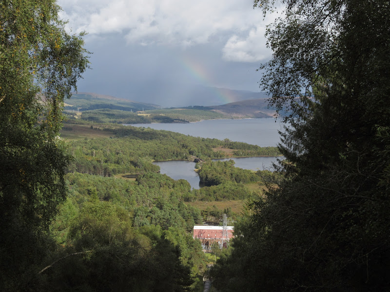
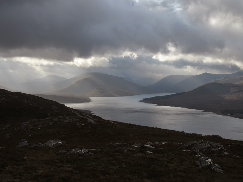
Loch Luichart:
Once the pipe disappears underground, it is a short scrabble to the edge of the trees. I climbed over a deer fence here out onto the open moorland. After the battering rain on the way over, the weather was playing ball nicely for the moment.
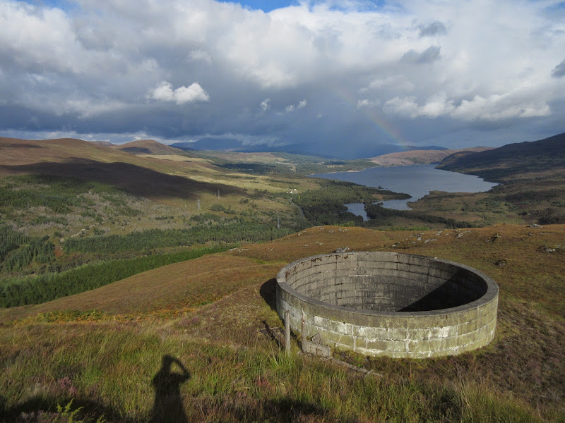
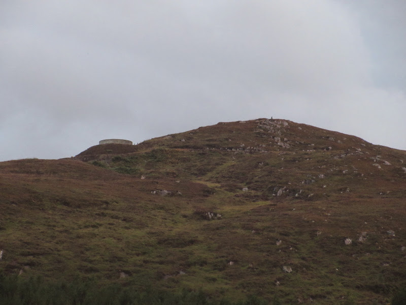
I was soon at the surge shaft. There is no way you could fall in it as it has a 2m high wall around, but there are no fences or anything. I couldn't see down it, but judging by the position of the pipe I had followed up, it must be at least 50m deep.
Surge shaft on Meall a’ Chuilinn:
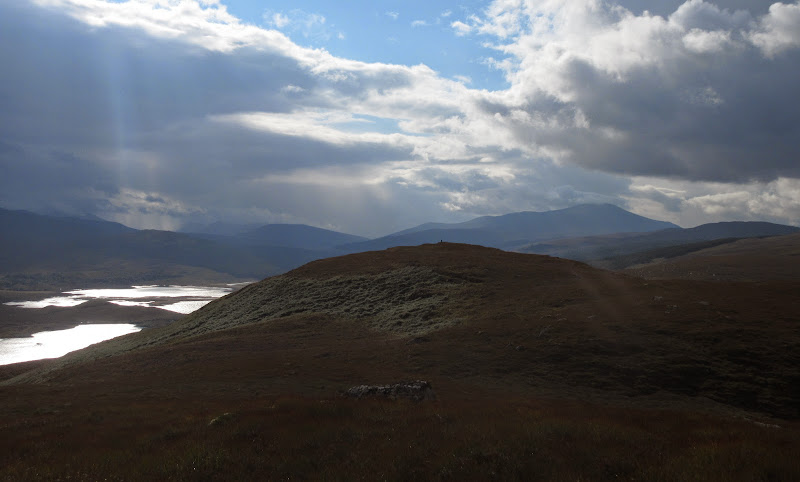
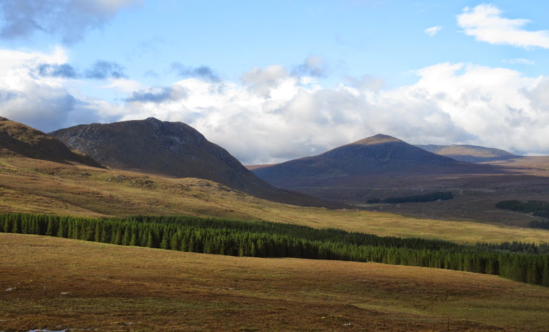
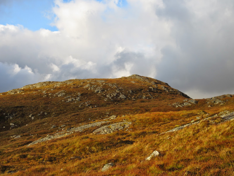
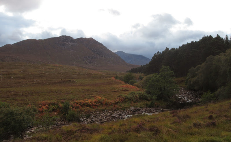
Beyond was a pleasant ridge walk above Strathbran. It then got a little wetter underfoot, before contouring up the south flank of Meallan Buidhe.
Carn na Beiste with An Coileachan behind:
A832 east:
…with cloud over Ben Wyvis:
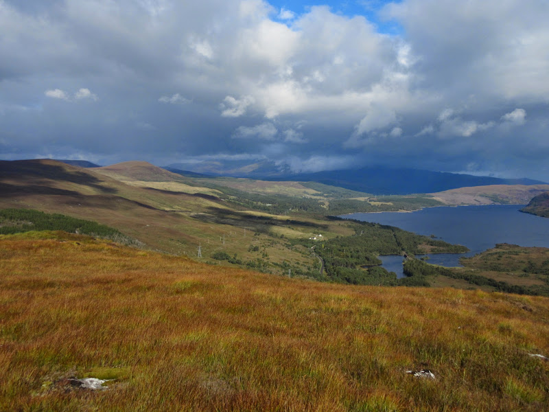
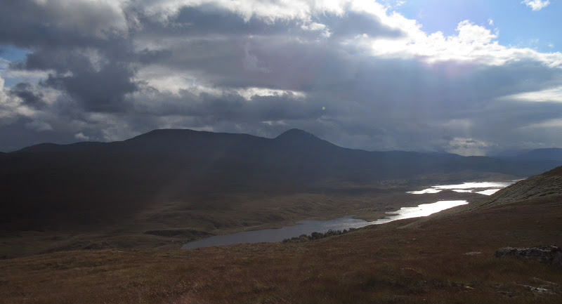
Loch a’ Chuilinn, Loch Achanalt and Fionn Bheinn:
Sgurr a’ Mhuilinn and Sgurr a’ Choire-rainich:
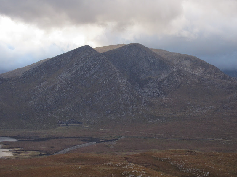
Carn na Beiste, Beinn Dearg and Beinn Liath Mhor a’ Ghiubhais Li:
The rain came on again as I picked my way through peat hags towards the summit of An Cabar.
West down Strathbran:
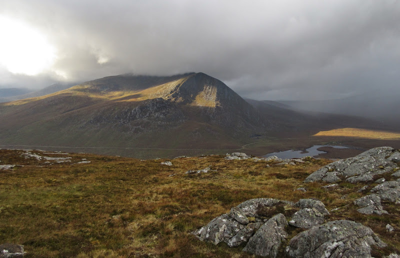
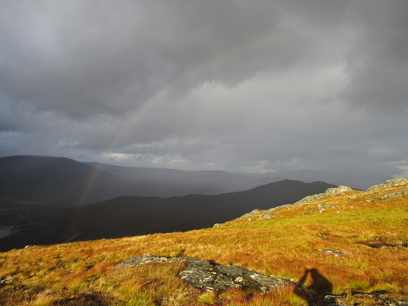
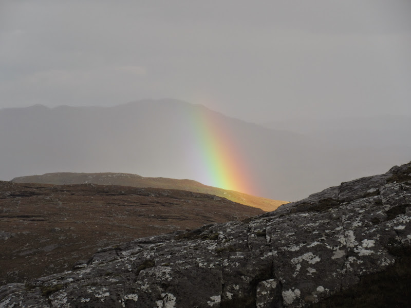
A final steepening through crags and I was on the summit just in time for some nice sunlight on An Coileachan. There were also great views down Loch Fannaich towards Beinn nan Ramh. The rain was on and off fairly regularly at this point, making for good photos but less fun for sitting down.
An Coileachan from An Cabar:
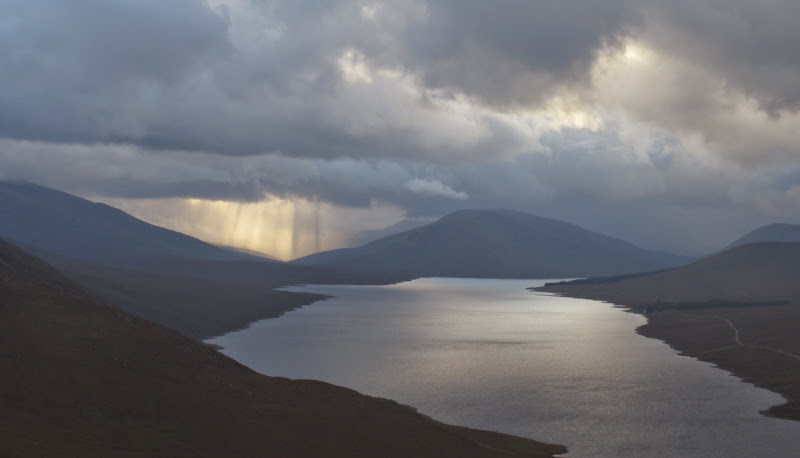
Loch Fannaich, Beinn nan Ramh:
Fannaich dam:
West from the summit:
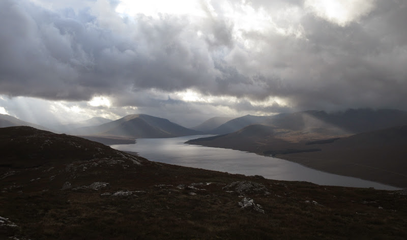
Down the loch again:
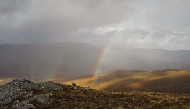
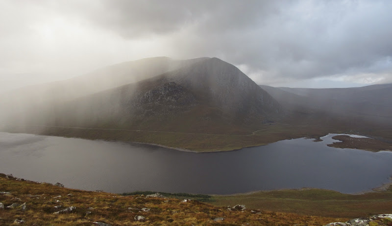
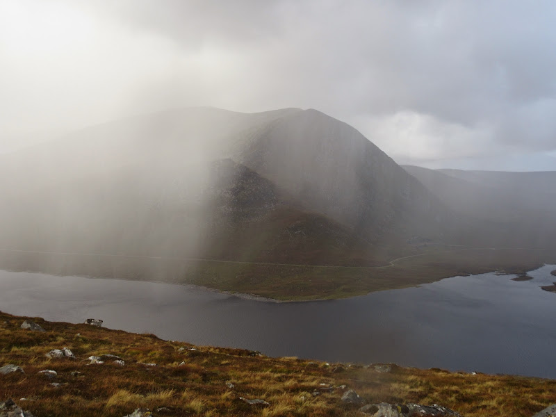
Weather can’t make its mind up:
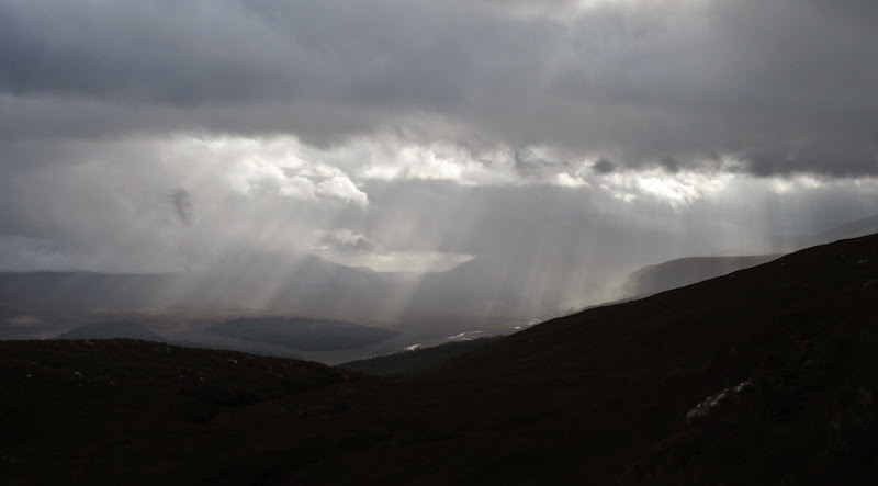
Showers coming in over An Coileachan:
Then a brief retrace of steps before splitting off NE to take in Carn na Beiste. This hill looks particularly fine from the estate road up Glen Grudie. Views from the summit were good as well, as it has a very sudden drop-off east into the glen. It is probably the best place to look at Garbh Choire Mor as well, although the sunlight was no longer on it.
Summit of Carn na Beiste:
Looking up Strah Chrombuill:
Garbh Choire Mor of An Coileachan:
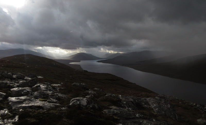
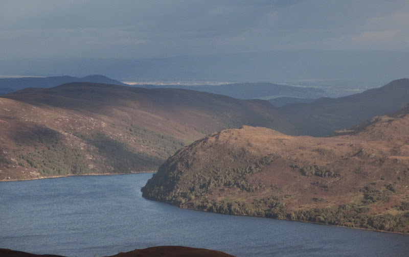
Loch Luichart from Carn na Beiste:
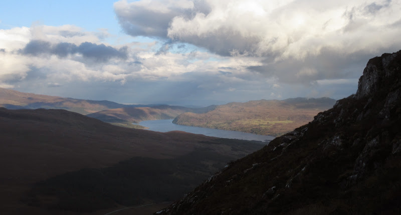
…with Inverness beyond:
The most sensible way off would probably have been south towards Loch na Beiste but the estate road looked temptingly close, so I dropped straight down the east face, dodging a few crags on the way. There was more rain as I walked back down the tarmac to Grudie Bridge, but it wasn't heavy, and the walking was pleasant. I saw my only deer of the walk in the final mile back to the main road.
Carn na Beiste:
Looking back up to the surge shaft on Meall a’ Chuilinn:
It was starting to get dark as I approached the car. It had been another good walk. Strathbran is east of all the best scenery in Torridon and Strathcarron, but I've always had enjoyable walks in the area, especially on the lower hills.
