free to be able to rate and comment on reports (as well as access 1:25000 mapping).
A-choo instead of hi everybody... is this annoying virus ever going to go away???? Ebola it is not, but it has moved up from my throat to my nose and likes the new home so much it doesn't want to leave

But I couldn't imagine 9.11 away from the hills. It's been a few years since my birthday fell exactly on a weekend day. Plus it's been almost a month since our last mountain trip, and weather forecast sounded pretty good - not as good as it eventually was, but promising - so no force could keep me home on Sunday...
Because I was still sneezing quite frequently

, Kevin suggested an easier walk, something my blocked nose could stand - a new Corbett perhaps? We rushed through our list of "to-do" lower hills and came out with a few options, eventually deciding on the Corrieyarick Pass hills. Having done Meall na-h Aisre last year, we could concentrate on Gairbeinn now and the WH route (as well as SMC Guide) suggests connecting this Corbett to Corrieyairack Hill to make the day longer and more interesting. The latter used to be a Corbett but was demoted to a mere top in 1997. Still, the extension is well worth the additional hours of walking, as we soon discovered.
Our route was the classic circuit over the two hills:
We drove to Melgarve early in the morning, the day was cloudless though low mist lay in patches in the glens, but as we reached Garva Bridge, we drove out of it and into the sunshine - the most gorgeous day I have seen for months, simply stunning! No cloud in the sky and the contrast between the blue above and the autumn brown & yellow lower down made it a perfect day for pictures! (Another 300 snaps taken on a single trip

).
The road just before Melgarve is closed for traffic (see the yellow gate in the distance), but there is a good place to park just before the bridge over Allt Feith a'Mhoraire. It's a newly constructed lorry-turning bay, but as it was Sunday, not a sign of any lorries, we assumed we could park there without upsetting anybody.
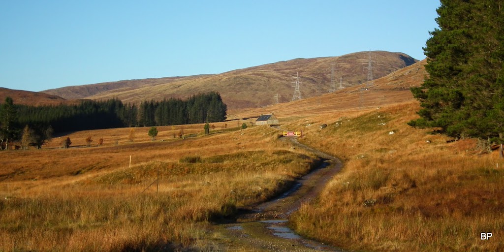
The buildings at Melgarve didn't seem to be permanently occupied, possibly a shooting lodge now?
We didn't forget anything this time, quite the opposite - due to my virus, I packed extra layers of warm clothing, including a winter bodywarmer. Sadly, no chance for any snow on lower hills

but on the positive side, we didn't have to carry crampons and ice axes

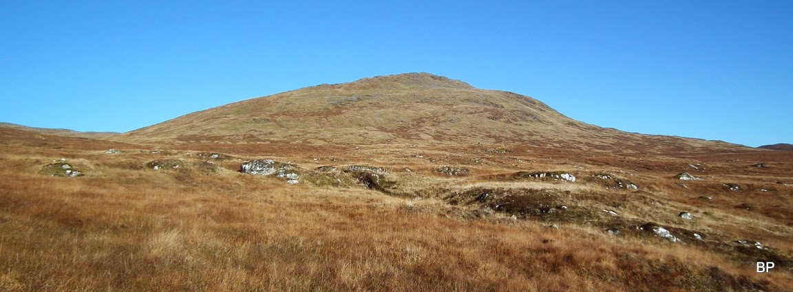
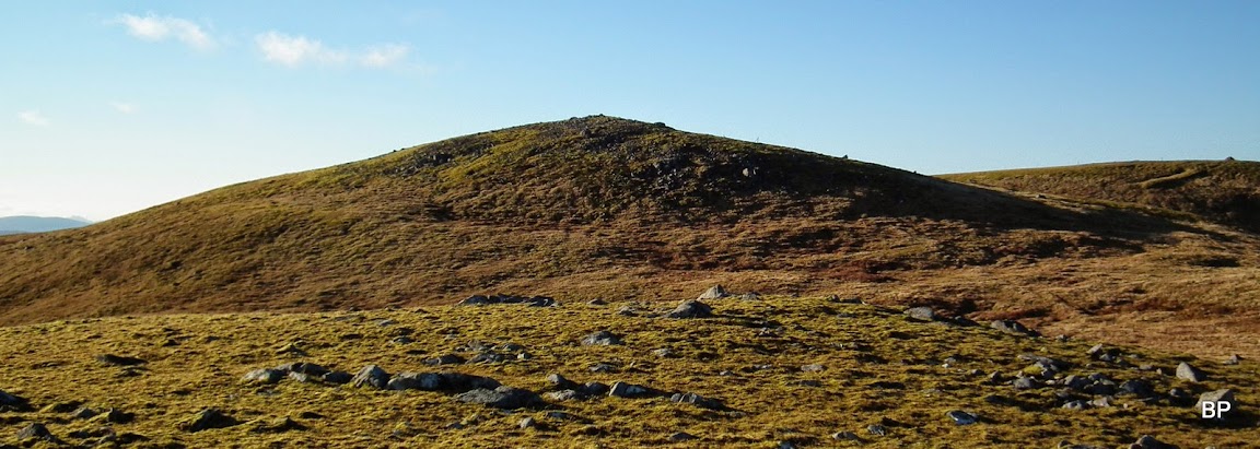
We started along the track, past Melgarve buildings and towards a small pine plantation. Our target hill was well visible to the right, although Kevin expressed his doubts whether what we saw was the true summit - it looks too low and too close - he said - must be a false top, and the true summit is well behind, out of sight...
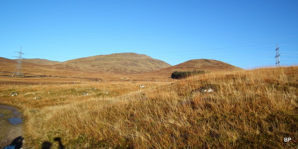
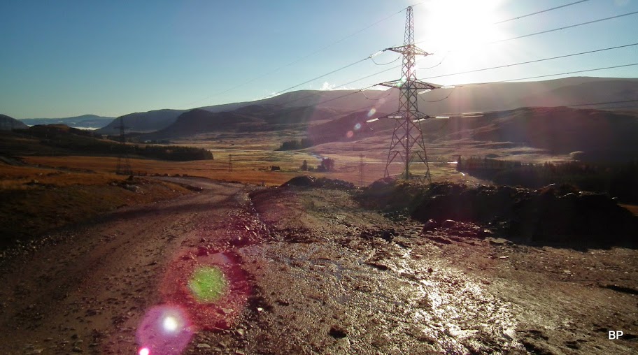
Ooooh, did I mention Beauly-Deny powerline? It is THERE and no chance to get away from the pylons! Luckily, once on higher ground, views open up and one can simply ignore the metal giants... At the moment though, they were a bad spoiler to the virgin landscape...
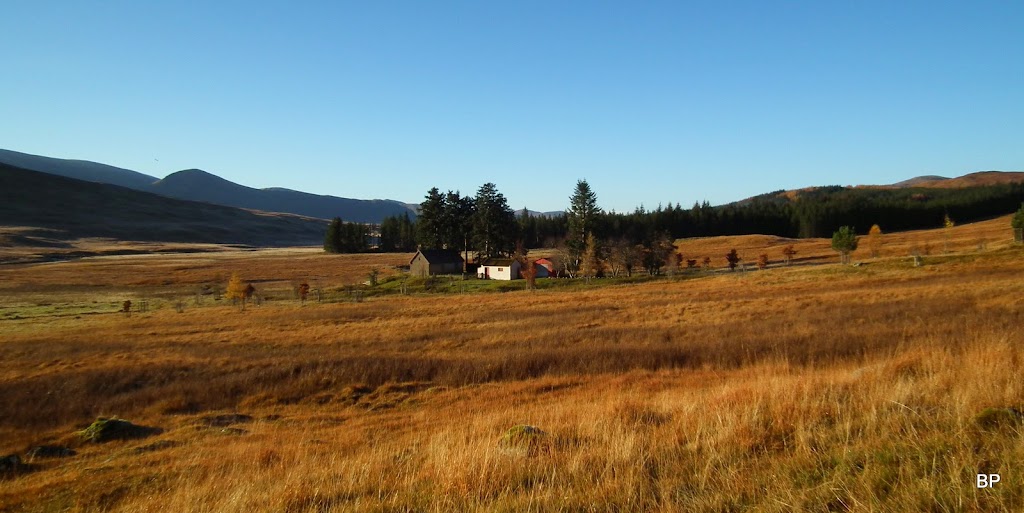
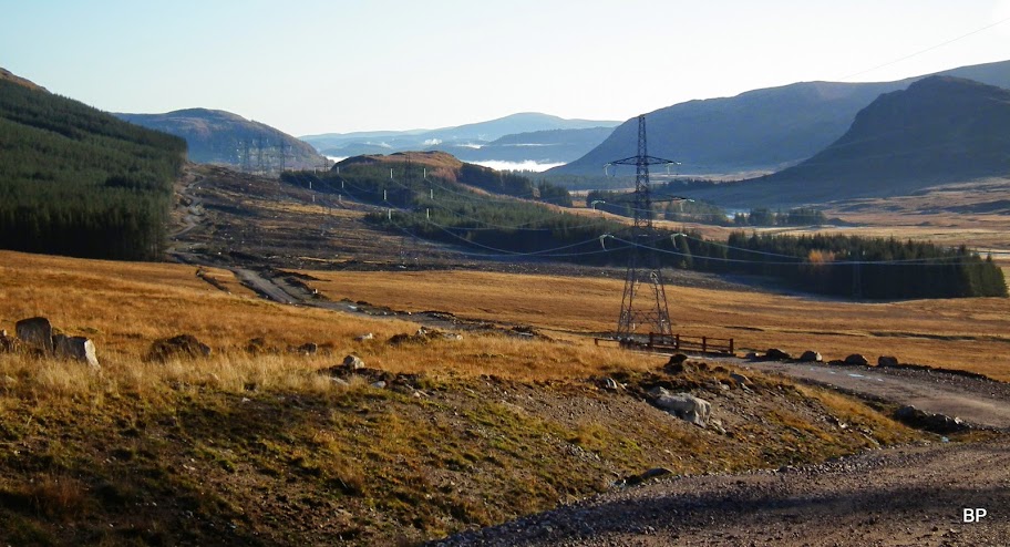
Looking down along the road with some mist still covering the low ground in the far distance:

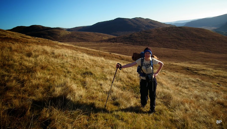
Wrapped up for the freezing experience that never came

We reached the edge of the plantation and left the track here to climb up the grassy slopes, aiming straight at our target hill.
The climb starts from here:
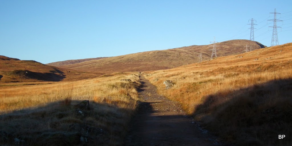
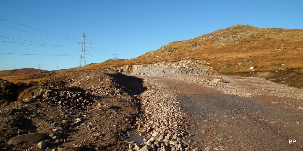
The ground was wet-ish but not too bad, mostly grassy. After a few minutes we emerged on the access road bulldozed for the pylons and we were confronted with the bad scar in the landscape. it will be a long time before this wound heals
Just judge for yourselves:
View spoilers!!!
To be honest, I'm less annoyed with the pylons themselves. They are bigger than any others I've seen so far in Scotland, but my eyes are somehow used to the presence of the metal constructions in the countryside. But the access roads are brutal cuts in the hillside. Hopefully, once the work is finished they will be (at least to some extent) converted back to moorland.
Building site in the middle of nowhere - that's how it feels:
I was glad to leave the spoilers behind and face the view in front of me. A-choo! Let's go!
We climbed past the two minor lumps, Meall Garbh Mor and Beag. As soon as the ground steepened, we had to stop and take warm clothes off. There was no breeze and the sun was killing us. It was far too warm for November!
Meall Garbh twins:
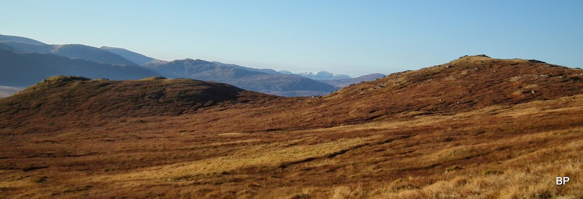
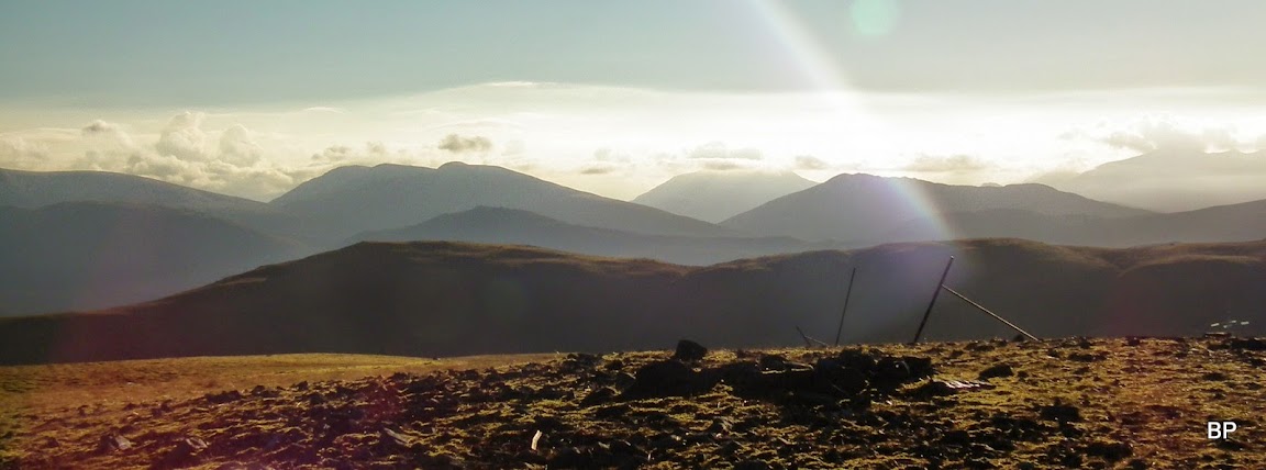
At least the pylons were now out of sight and we could enjoy the gorgeous views opening up:

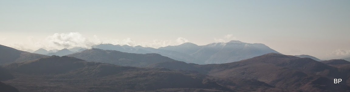
So there is snow on the highest hills already! Ben Nevis and the Aonachs covered in white... Give me good weather next weekend and I'll climb somewhere higher

Believe me or not, but we felt like on a roasting pan in a matter of minutes. We stripped off to t-shirts. I never climbed in short sleeves in November before! Call it November birthday roast!
View south-east along the glen:

My virus was still not giving up so I had to take frequent stops to blow my nose. Ended up with tissues in every possible pocket... At least views were superb and I knew I couldn't ask for a better day
I was falling slightly behind Kevin and I knew we were not going to break any record on this route, but never mind the ticking clock, it was about enjoying the moment!
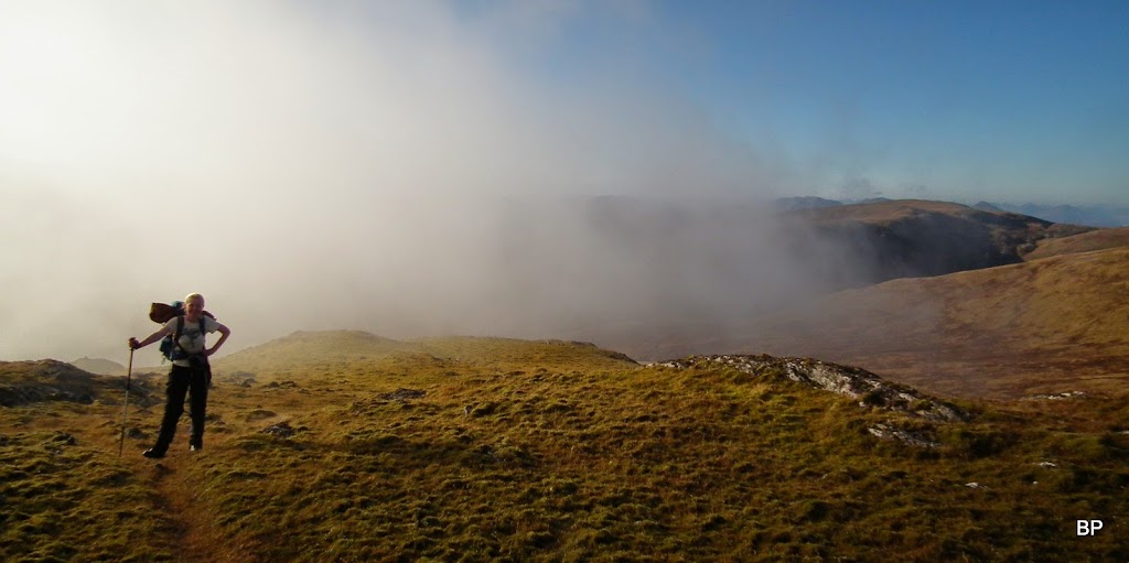
Small cloud formed around the summit of Gairbeinn when we reached the final metres of climb, but it didn't last long... the summit was now only a few steps away:
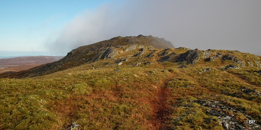
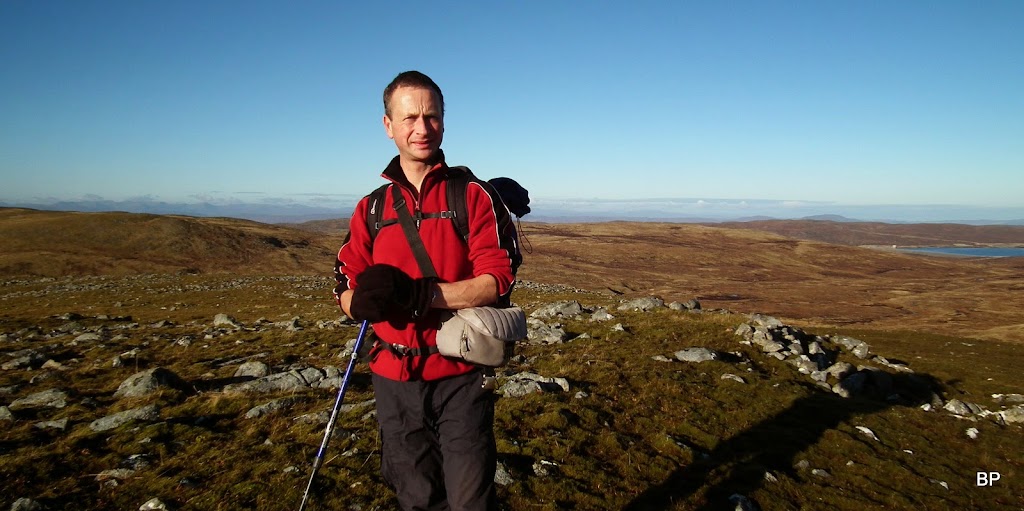
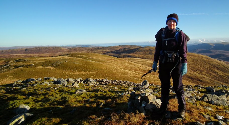
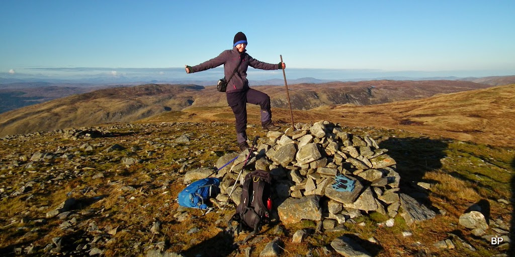
Happy Panther on the summit ridge
Even with the virus I still felt fantastic!
Now the views were great in all directions and because the day was so sunny and cloudless, even very distant mountain ranges seemed close...
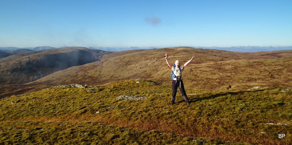
Birthday Madness
Behind me, the Corrieyairack Pass with the new bulldozed track and the pylons clearly visible:
Zoom to the pass and the powerlines, behind - Ben Tee and Knoydart hills, Sgurr na Ciche easy to spot to the left:

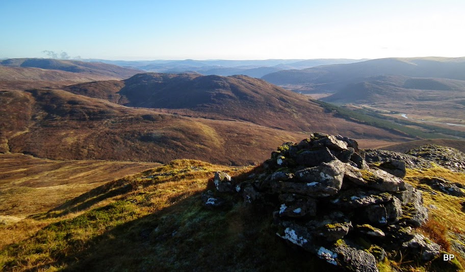
We walked along the short, grassy ridge to the summit, where we intended to have a birthday picnic and more view-watching. The summit has two cairns, the small one perched on a large boulder. Here I posed for "Meow! it's my 79th Corbett" picture:

For the next 10 minutes or so Kevin was busy taking photos. Here are a few examples. What a day to climb this summit!
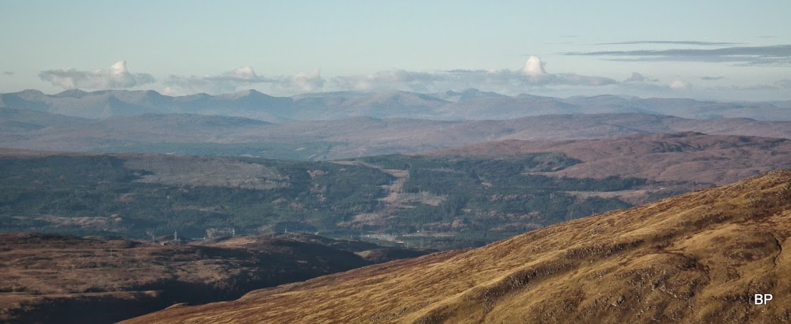
View south, with the Nevis Range in the distance:
Zoom to Nevis and friends:
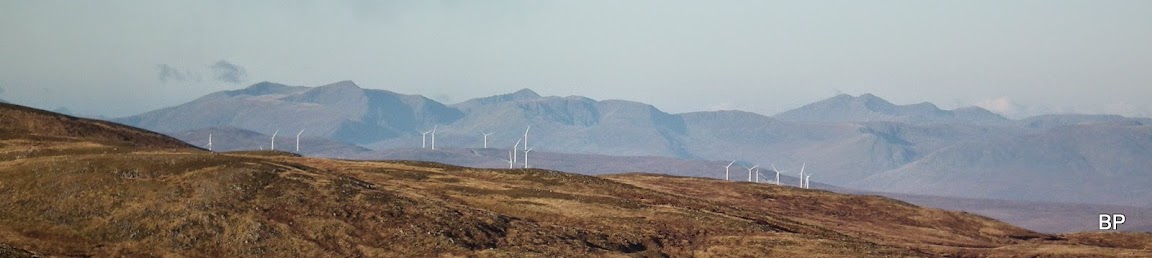
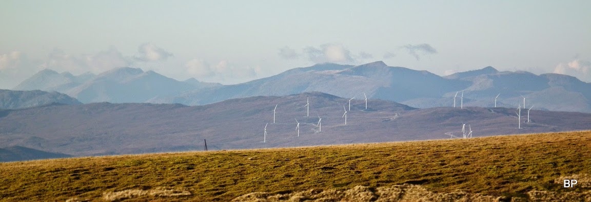
North Glen Shiel hills and Meall Dubh windfarms:
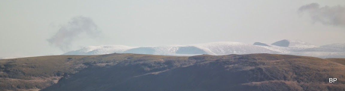
Snowy, snowy Cairngorms... Braeriach and Cairn Toul:
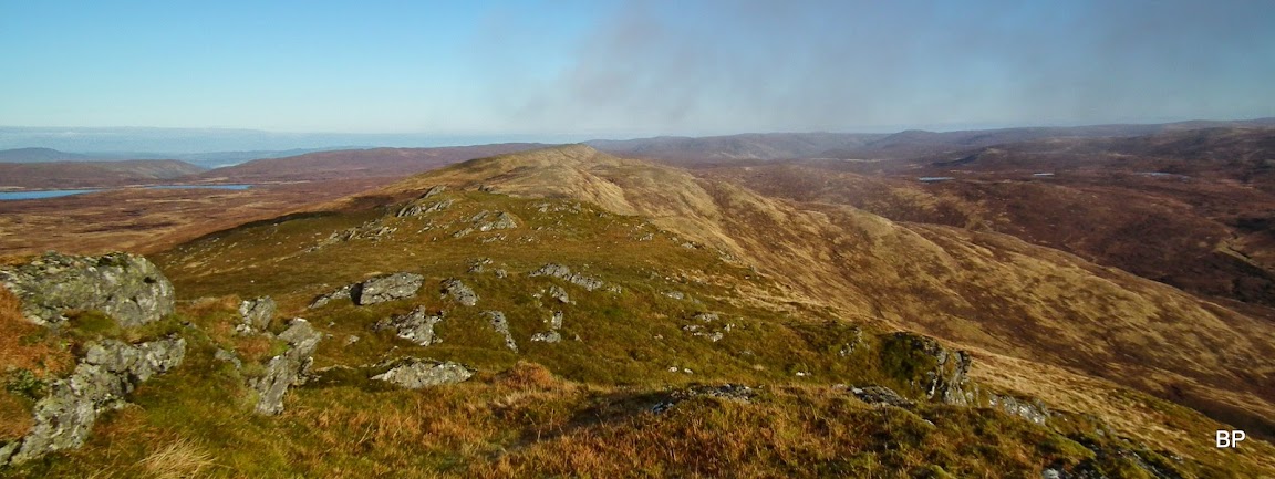
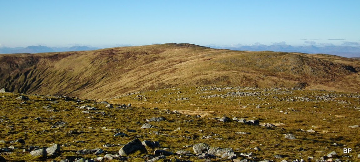
View north - the ridge extends much further and on a longer day we would probably be tempted to take a detour and investigate the outlying top, but not today:
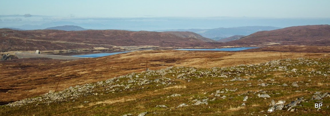
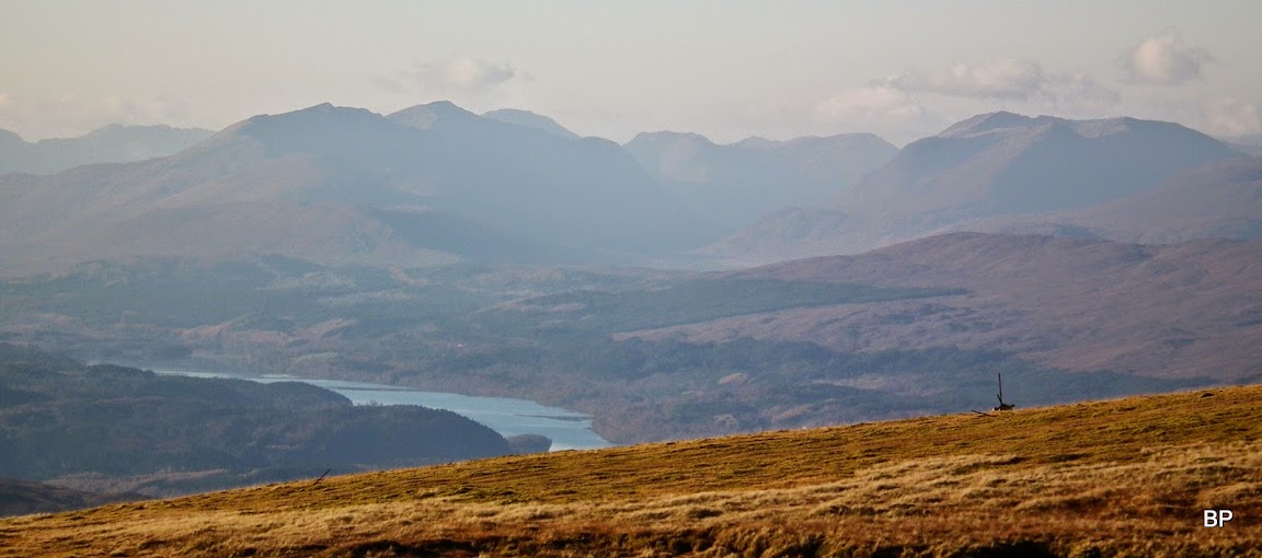
Glendoe Dam and the reservoir - ah, so that's how it looks like! earlier this year we walked up the access road to this dam from the north, on the way up to Cairn a'Chuilinn, but never got far enough to see the reservoir properly:

Zoom to the dam:

View east from the summit, the larger cairn in the foreground:
We took our time and had a long break on the top of Gairbeinn, enjoying the sunshine, the silence, the solitude. Not a soul in sight, nobody else was up this group of hills today... There were cars parked by Garva bridge as we drove past in the morning, but all walkers must have gone for Geal Charn, the Munro (which we had already climbed before). So we had Gairbeinn and Corrieyairack just for ourself and I could meow as much as I wanted!
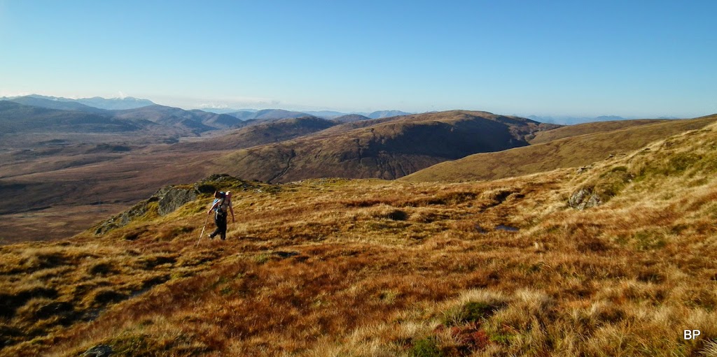
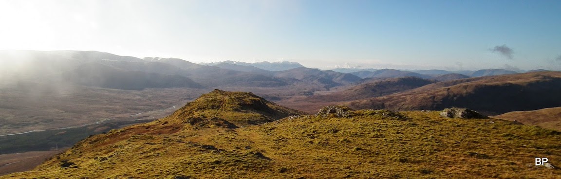
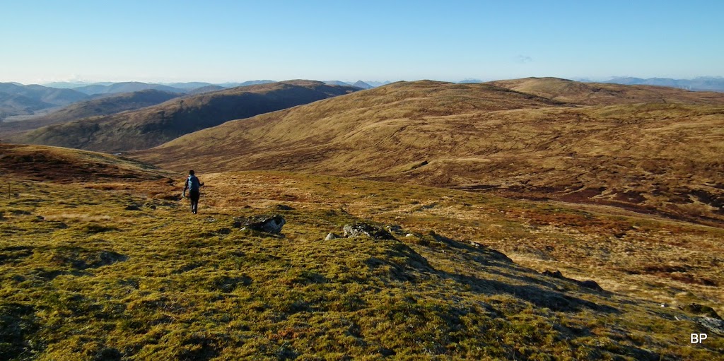
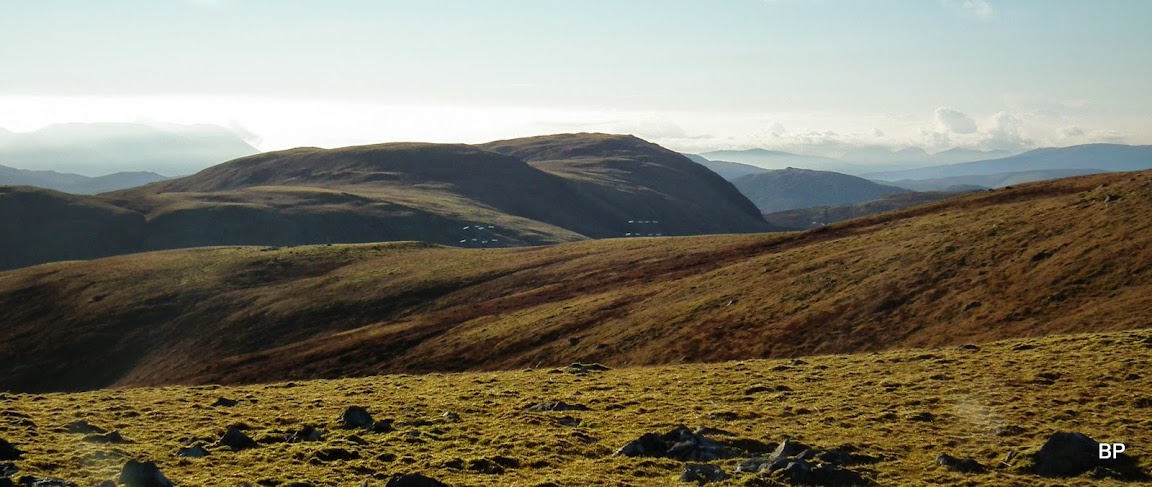
Eventually, we moved on to traverse to Corrieyairack Hill. The route here is pathless and boggy in places, but on a good day the target top is clearly visible on the horizon:
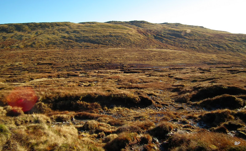
The first col we descended to was a bit of a pain to cross, luckily peat hags were still half frozen and we managed to jump across the muddiest parts:
On the way up to the intermediate top, Geal Charn (876m), we followed old fence posts. Now we were much closer to the dam:
Corrieyairack Hill from the top of Geal Charn:
Zoom to Ben Tee and Knoydart behind:

Kevin enjoyed the day, too, didn't suffer from any dairy-induced energy drain:
From Geal Charn, we crossed another col, this one not as muddy as the previous one, and started the final ascent to the last top of the day. Some would say that unless you are collecting Corbett tops, this traverse is a bit pointless, but I felt otherwise. By going just up and down Gairbeinn one misses the best views of the day (Corrieyairack Hill is much better viewpoint). Not to mention that one also misses the opportunity to cross the odd metal gate:
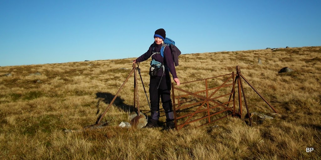
Funny, even Hamish Brown mentions this gate in his book "Climbing the Corbetts":
"A gate with no fence stands in the middle of nowhere."
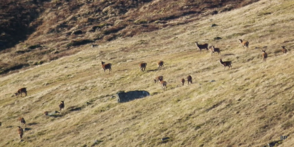
We heard familiar roars and soon we spotted a large herd of deer grazing on the slopes of Corrie Yairack:
The summit of Corrieyairack is topped with two tops, identical in height to the naked eye. To be sure we actually visited the highest point, we climbed both of them:
Across the pass, another high hill came in sight, but having checked on the map I confirmed that it is not a separate mountain, rather a prolongation of the Gairbeinn-Corrieyairack ridge. It has no less than 3 Corbett tops:
White Cairngorms again:

The cairn of the eastern top is said to be the higher one. The summit does not count a s a Corbett (shame), but I found enough satisfaction in bagging this hill
It is, as said earlier, much better viewpoint than Gairbbein.
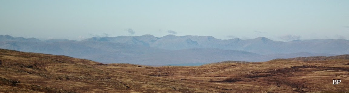
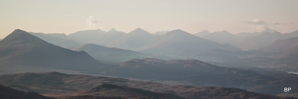
The proof is in the pudding, and this was the best dessert I could possibly have as my birthday gift. Views to the west, on such a good day, were splendid. Ben Tee and Loch Lochy Munros drew my attention first:
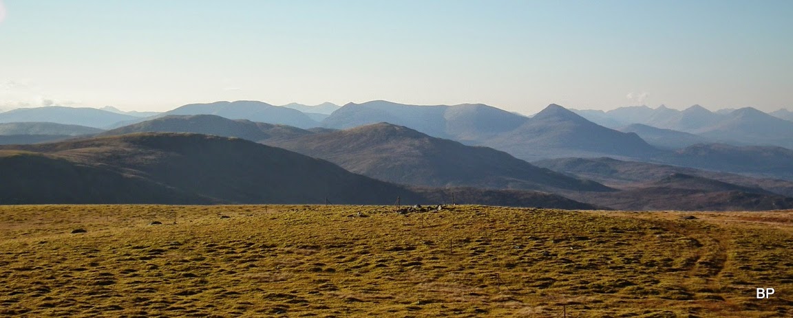
Then Glen Shiel and Loch Quoich mountains:
Knoydart pano:
Having snapped enough photos we carried on to the second top, where the story repeated itself
We sat down for a cuppa and a sweet bun, enjoyed the excellent weather once again. It was much colder now and we had to wrap ourselves in warmer layers, but I was still eager to meow about
The cat with too much energy
A few more shots from the second top:


The area had some very wild feeling to it, as long as one didn't pay any attention to the pylons going over the Corrieyairack pass - and the tracks alongside them:

The return route is straightforward. We followed the fence posts south downhill, soon we came across a vt track and walked down to the pass. We stayed on the original, old track rather than using the "yellow brick road" created beside the pylons. The line is not on yet but the construction seems very close to finishing. We continued on the track downhill and all the way back to Melgarve. 6.5 hours in total but a healthy (not-sneezing) person could do it in an hour or so less, if necessary. We didn't really have to hurry, still managed to return to the car before the sunset. A birthday gift from heavens, I must say. Could not imagine spending the 9.11 in a better place! Meow!
