free to be able to rate and comment on reports (as well as access 1:25000 mapping).
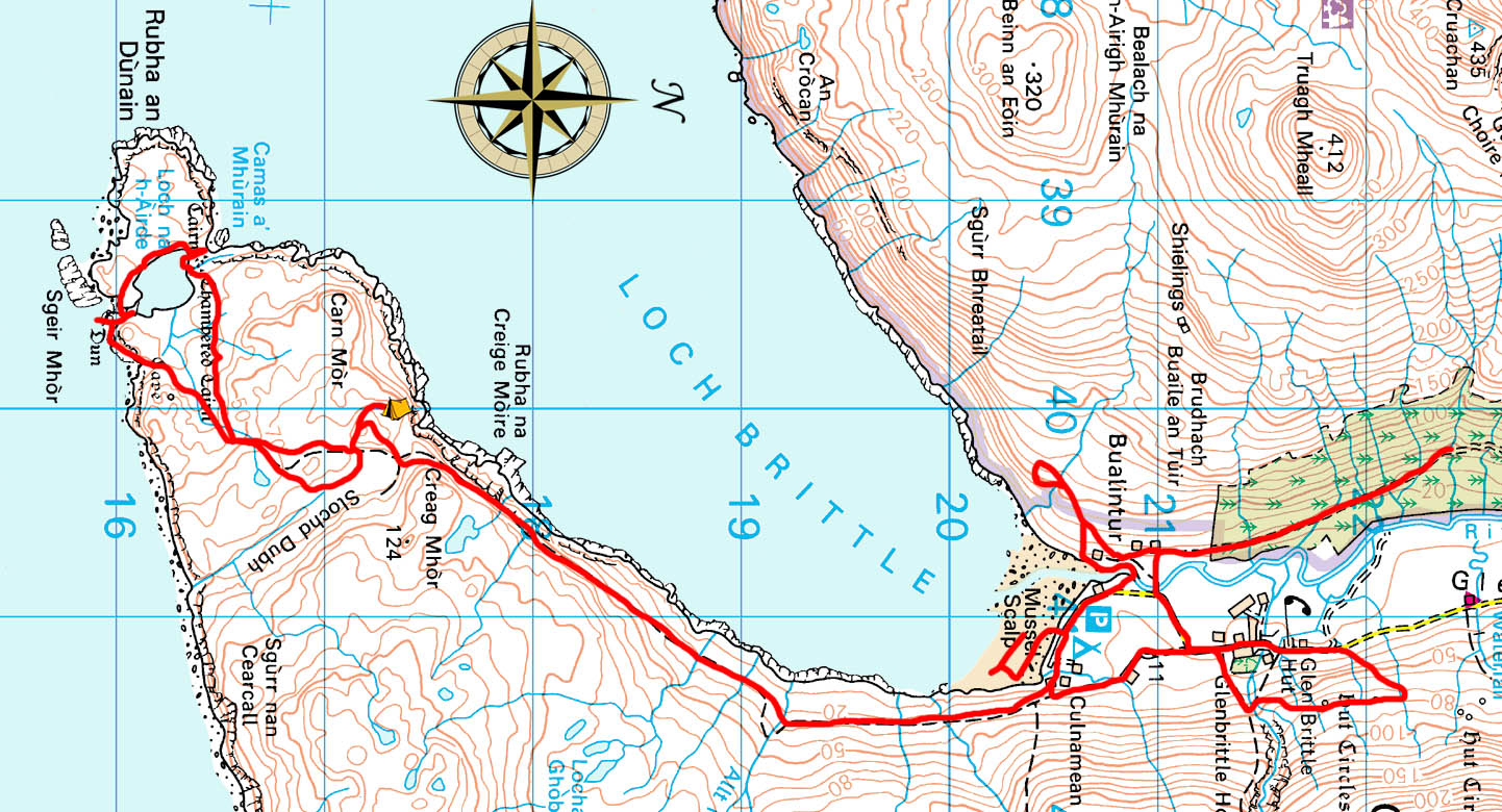
Rubha an Dùnain to Glen Brittle. 11½ miles, 1753ft ascent.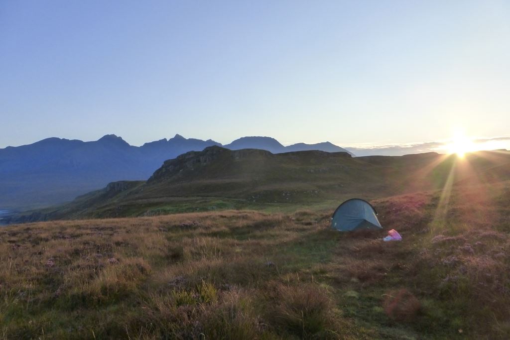
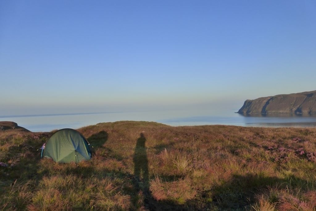
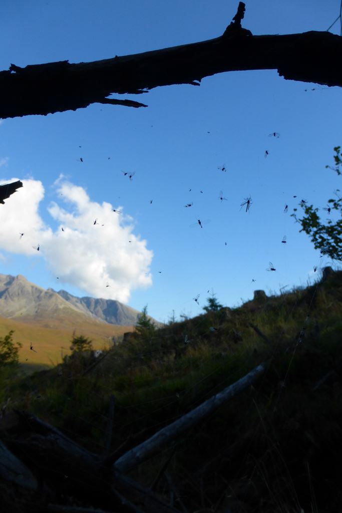
After a decent enough night's sleep I was up in time for a rather pleasant sunrise over the Cuillins to the north whilst breakfasting. I really must think of some sort of seating apparatus next I come camping. Not a stone to be seen here on my marshy moor-top pitch. After my tea and porridge there was only half a small bottle of water left too.
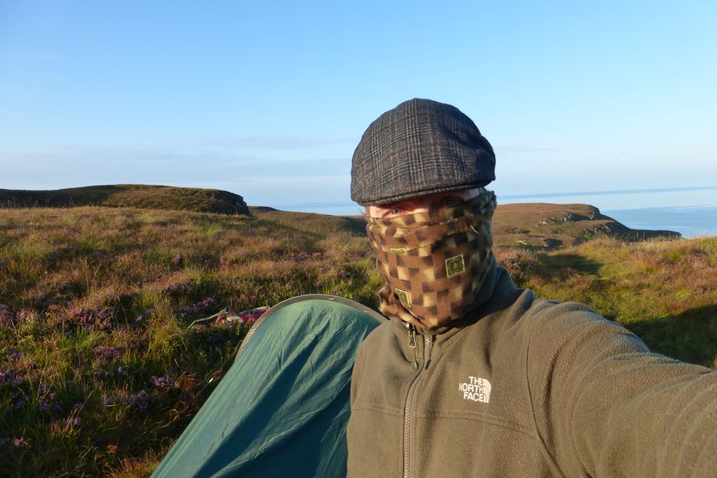
Time to break camp and start exploring the Roo. The OS map indicates many interesting looking historical features. My usual attractiveness to the midgies meant for some alterations to my attire to try and provide some ad-hoc protection, but alas just like
Mr Baldwin's bombers - they will aways get through.
With everything packed away, my rucksack was dumped in a safe secret spot (not that they'd be anyone anywhere near any time soon, but I still felt it was important to put it somewhere that would make it difficult to find later) I set off.
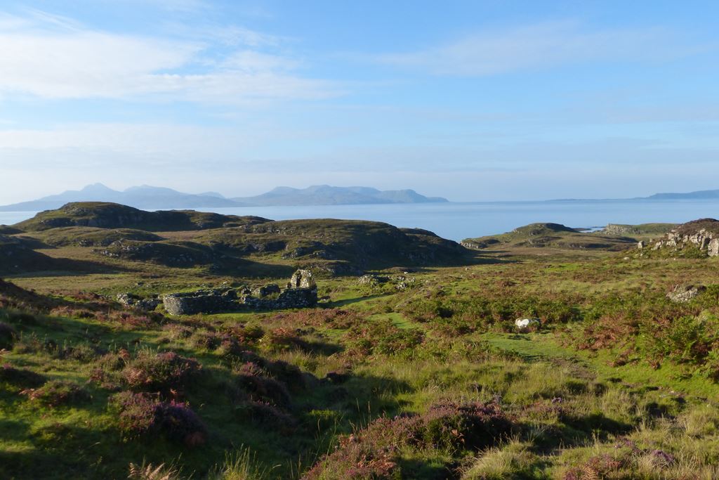
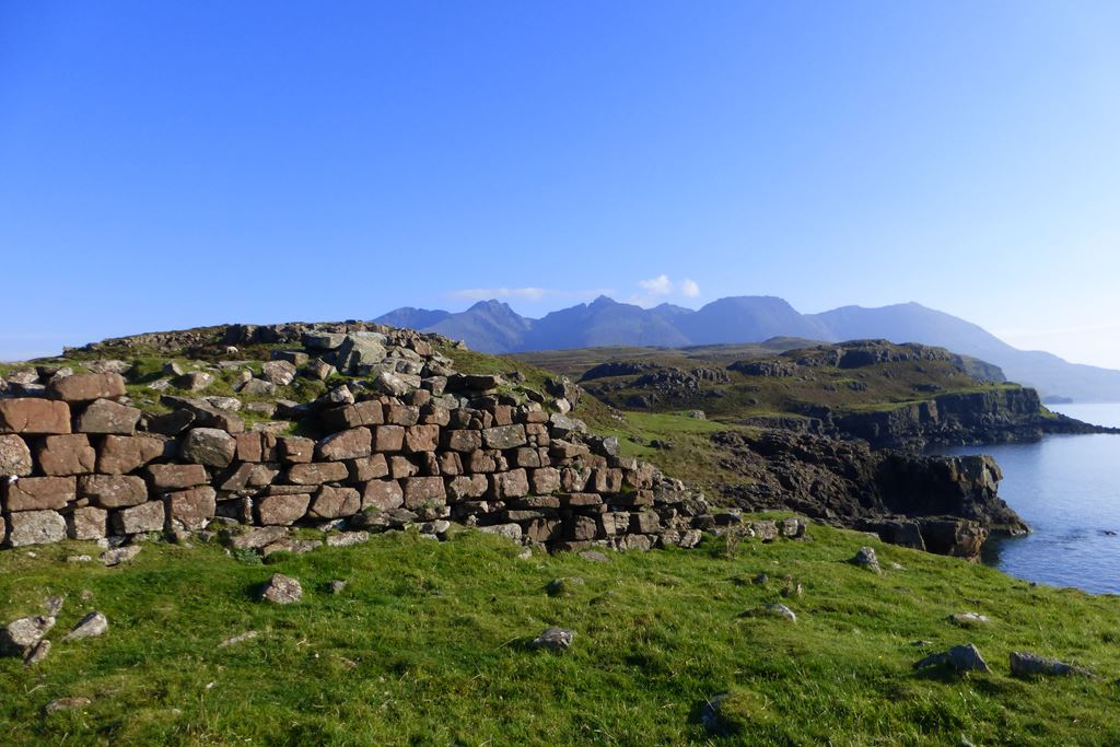
The first thing I saw were the ruins of a odd looking building, with a rounded gable end. And I think Rum and Eigg over yonder.
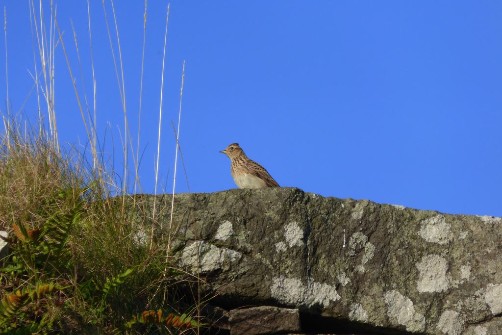
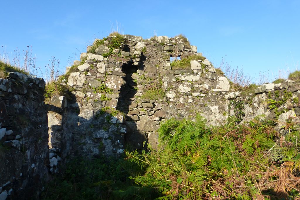
No idea what it could have been for... why go to all the bother of building a nice round wall? The song-thrush above the fireplace was no use. More use were the tons of juicy blackberries to help keep the thirst at bay for a little while. A little digging
around the internet revealed it to be the the family home of the MacAskills before they were sent packing in the 19th Century clearances.
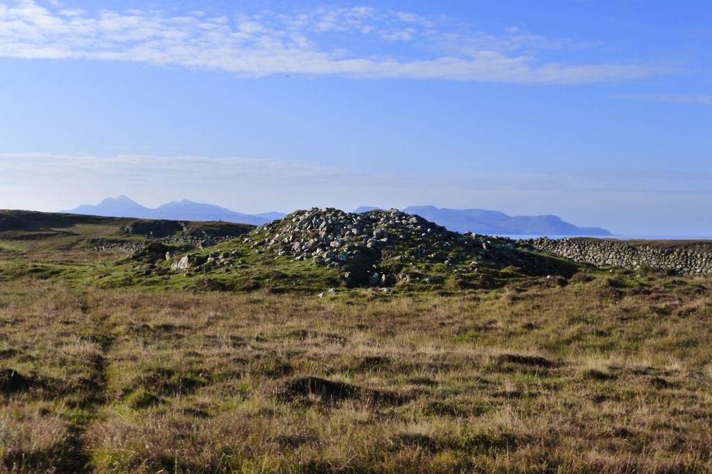
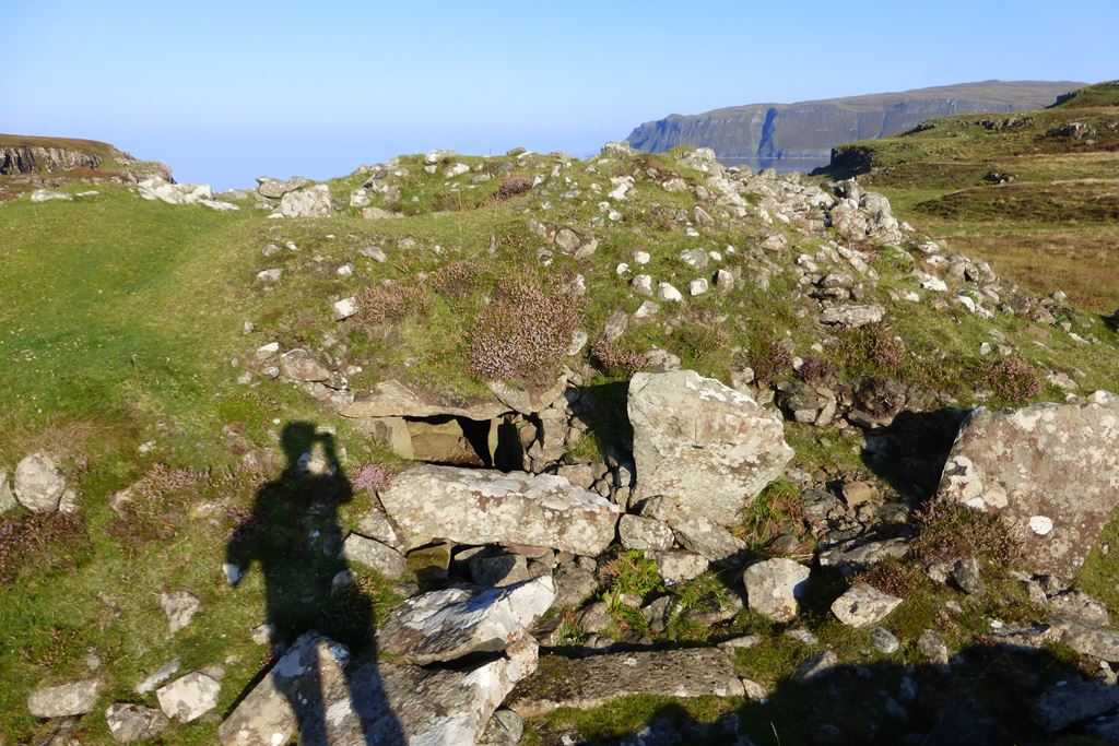
A little way on from the ruin, past some more ruins, I spied the "chambered cairn" enigmatically marked on the map and went to investiage.
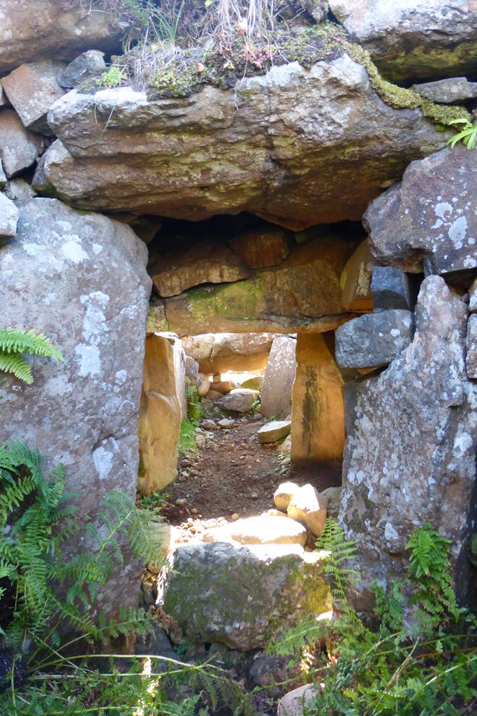
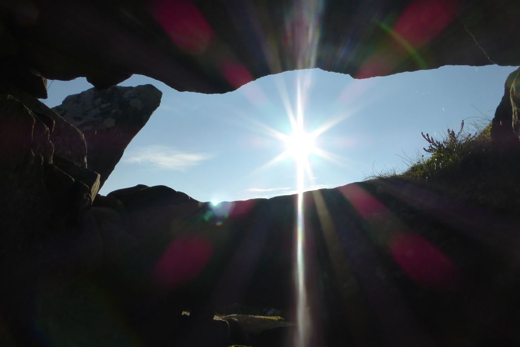
It's a neolithic burial chamber, and when it was excavated in the 1930s they found the remains of six people inside. Apart from having no roof it's still in pretty good condition to my untutored eyes. Going inside something that people were going inside back when Stonehenge was still young was quite a thrill, especially as the ancients had constructed it so it would be aligned with the morning sun for my visit 50 centuries later!
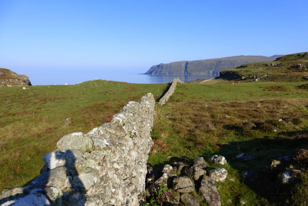
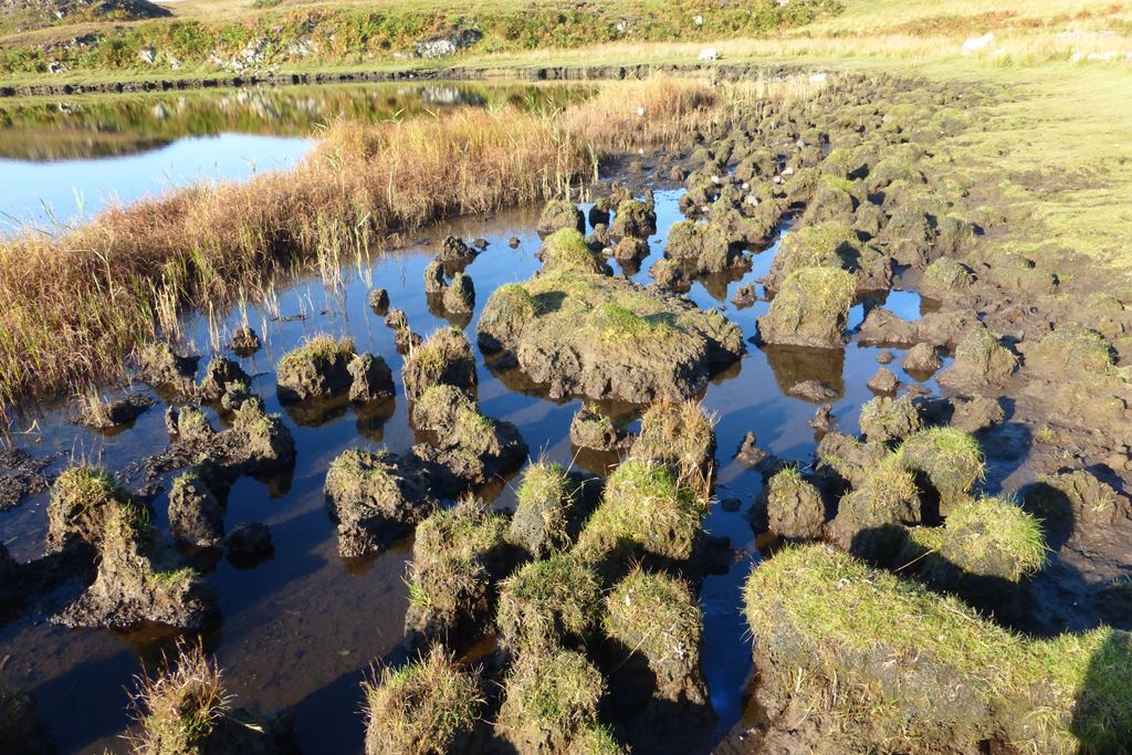
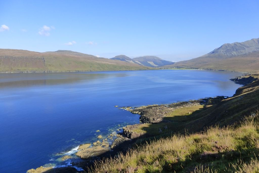
Another fine old wall, and strange muddy tussocks on the edge of Loch na h-Airde.

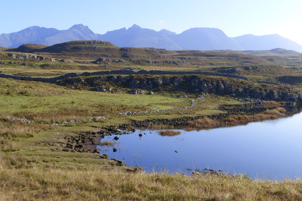
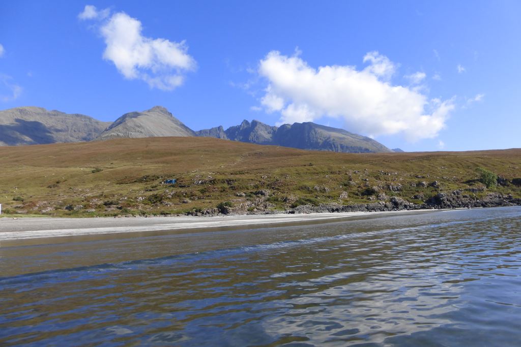
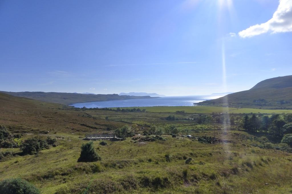
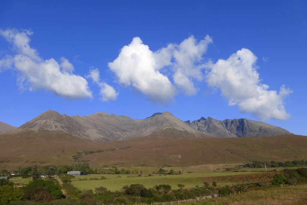
I was considering wandering down to the sea-side but the rocky beach at Camas a' Mhurain put me off a bit. The view back up to the Cuillins was much more enticing though.
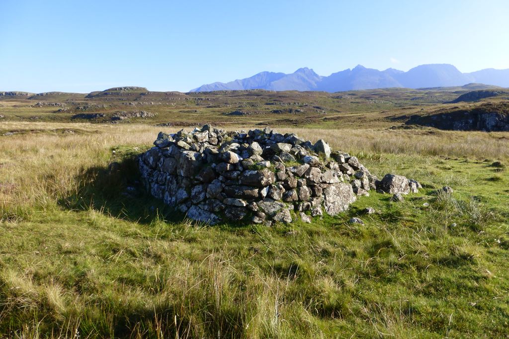
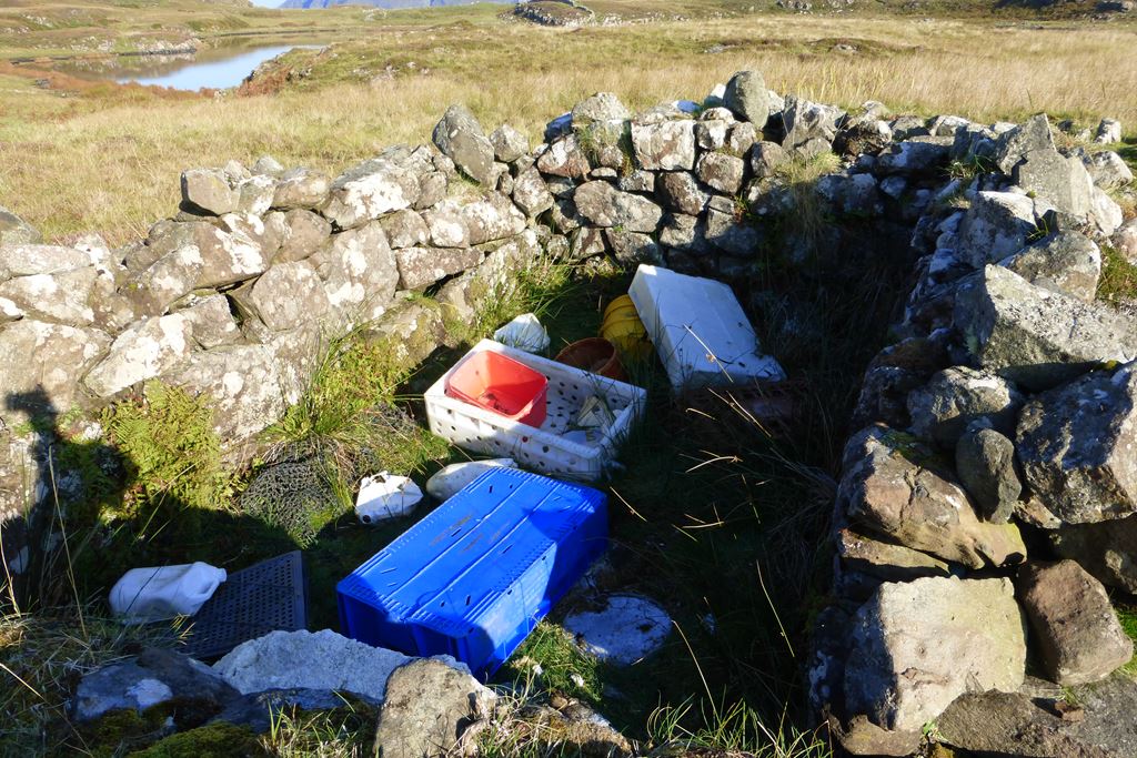
Ooh look! Another old ruin, or is it a sheep fold or something? I wonder what's inside... ah, rubbish! Still nice of someone to tidy up.
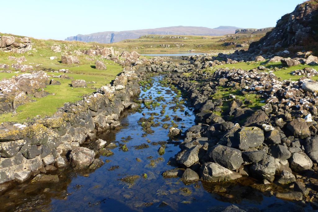
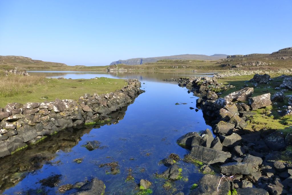
Right round the other side of Loch na h-Airde is an old Viking canal linking the loch to sea. Apparently it was the
Viking boatyard here which lasted for centuries as this loch is ideal for sheltering
birlinns. Getting thirsty now and the loch looked tempting, but the Viking navvies had helped it get a bit brackish. Not that I'd be all that keen on drinking loch water anyways...
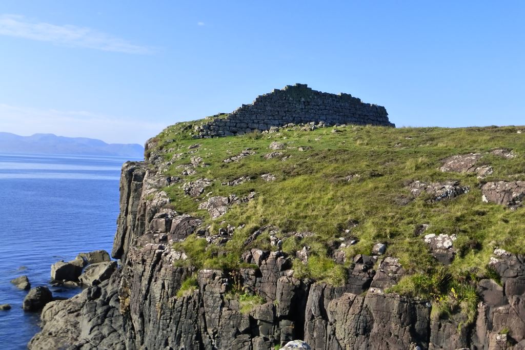
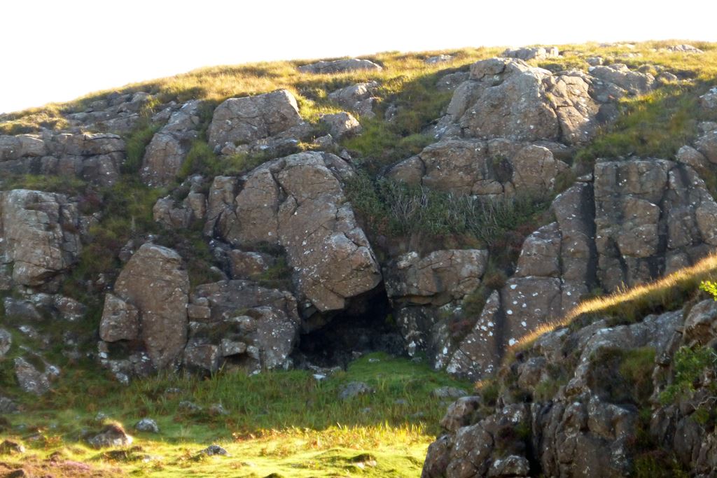
Looking down over the loch was an
iron age dun or promontory fort that merited a scramble up for a closer look. I can only wonder what exciting bloody encounters took place behind its thick stone walls a thousand or so years ago.
One other place that looked intriguing on the map was the cave, but having spied it from afar I figured it could stay afar as I was decidely parched by now and someway from the nearest mountain water cooler. So I headed back to where I thought I'd left my bag, and then managed to find where I had actually left my bag, hitched it on and set off back to Glen Brittle.
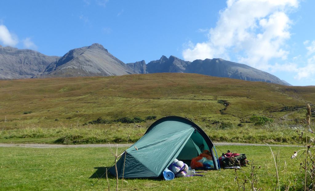
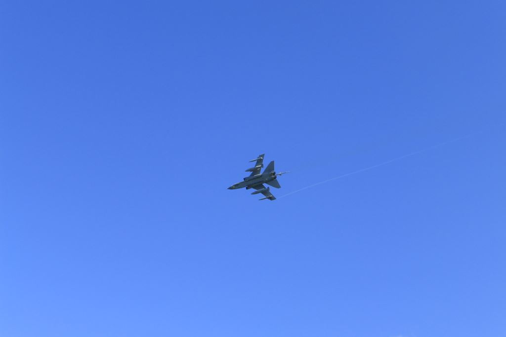
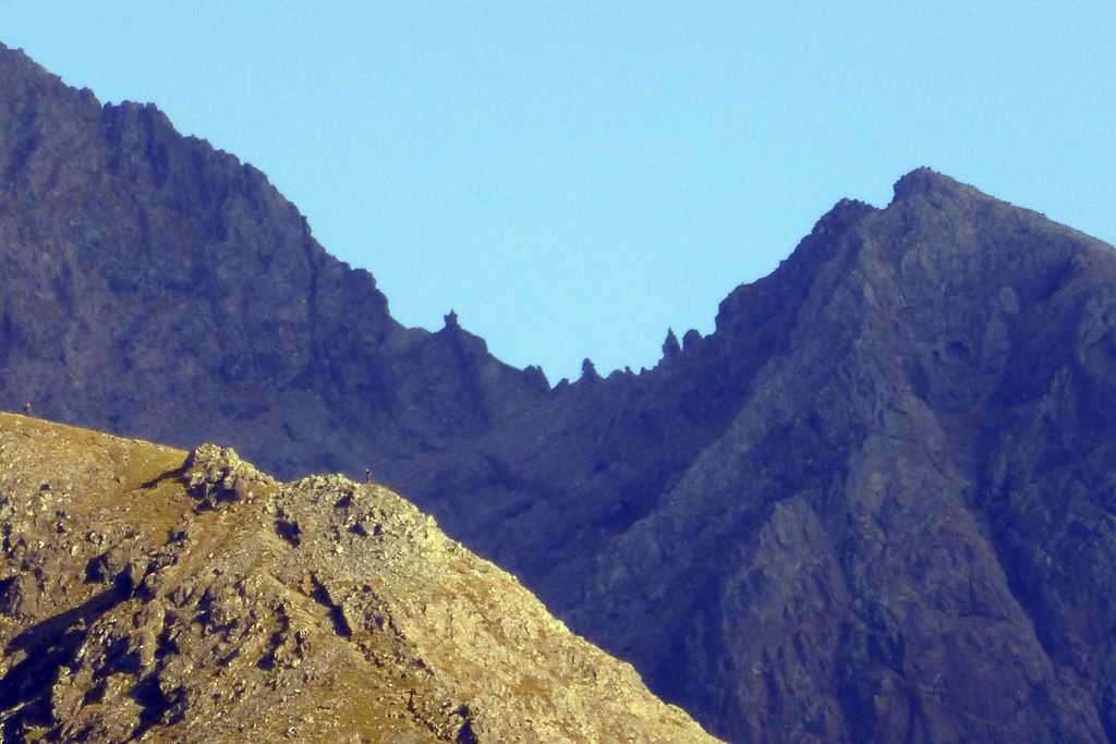
I found a spot with a nice view of tomorrow's looming lump of
gabbro, and my arrival at the campsite was greeted by an RAF Tornado flypast.
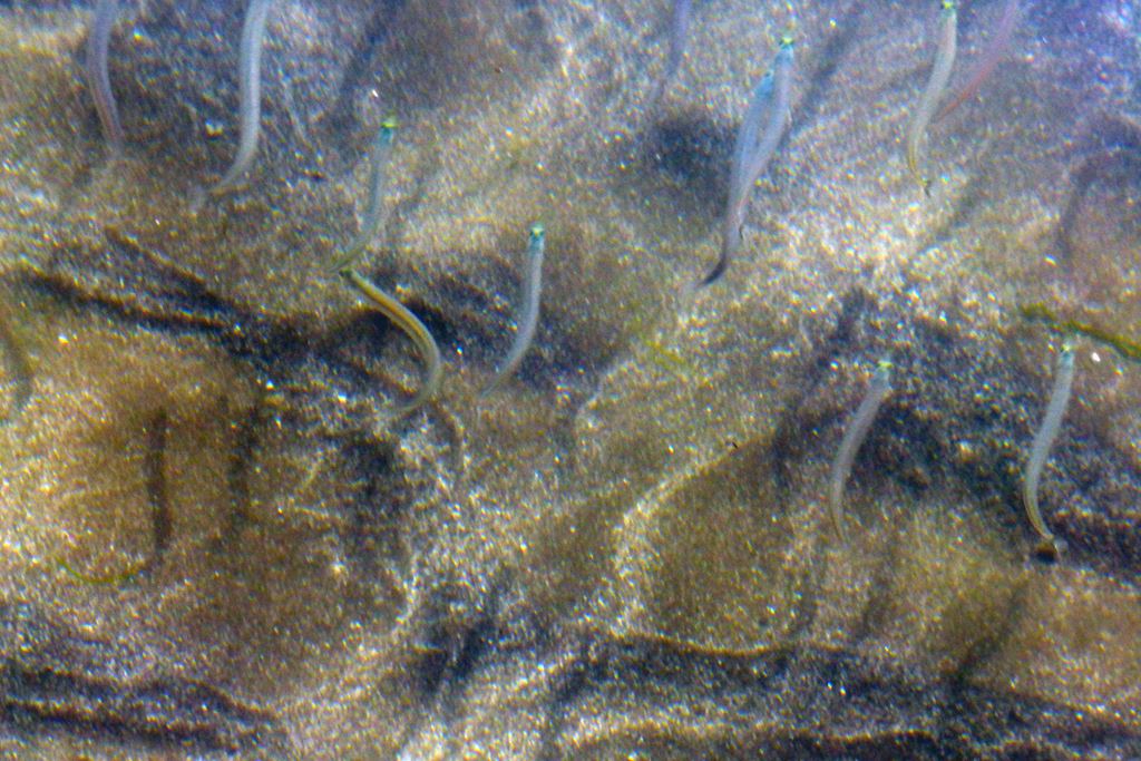
Such a nice day required a paddle with the little fishes. The numerous flat-fish (flounder?) that suddenly popped up from mud and brushed one's ankles before darting off across the sandy seabed at high speed didn't cease to startle.
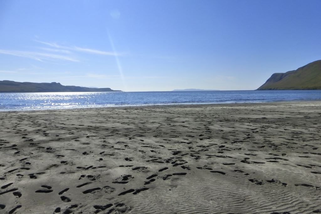
It was such a nice day that I even opted to strip off as far as is decent and have a quick swim. It was very quick. But as you the soft dark volcanic sand testifies the beach was very popular today!
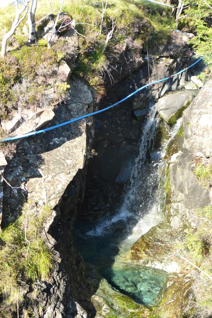
Still had plenty of daylight to go so a short walk was in order. The waterfalls and
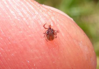
hut circle on the map looked interesting. On the way to the hut circle you could clearly see why there's no need for a water treatment works on Skye! Tick treatment is a different matter though.
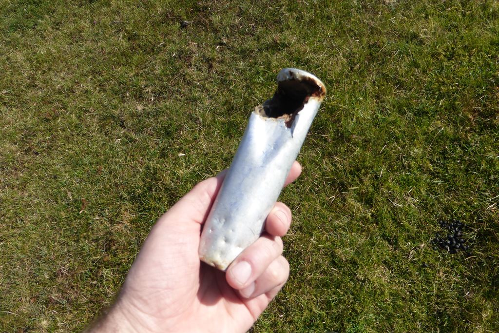
Heading up the glen the view back out to sea was very pleasant. Anyone know what this strange thing is I found? A flare of some sort...? Some farming device? Answers on a post-card to...
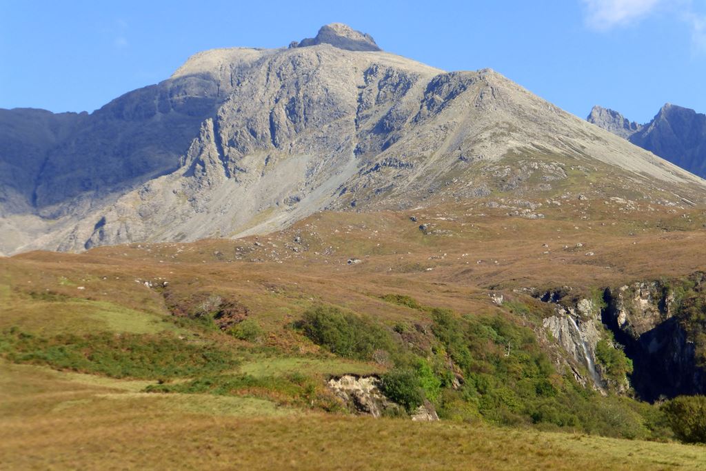
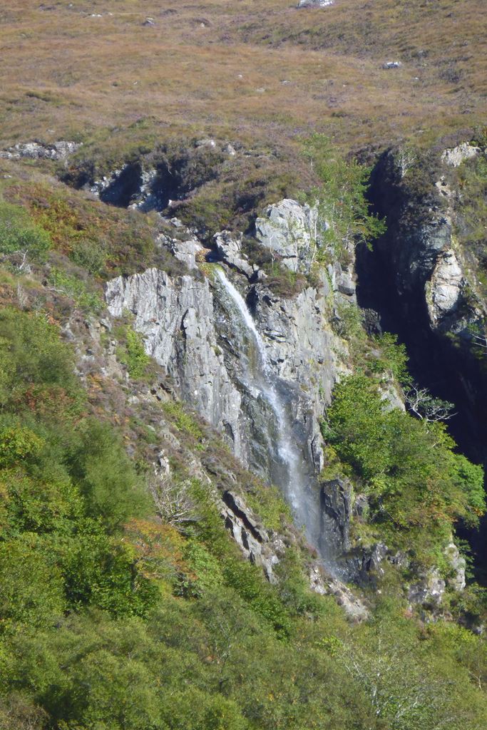
I'm not sure if that is Sgurr nan Gobhar above the Eas Mor falls, or the ridge below Sgurr Dearg. Eas Mor falls wasn't today's falling water target, but I reckon it would be worth a closer look another day.
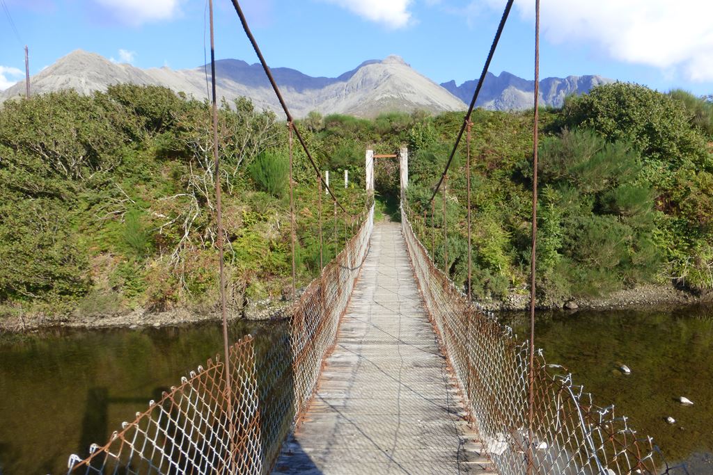
It turned out that the hut circle wasn't very interesting at all to be honest, if you weren't looking for it you probably wouldn't even notice it. Oh well, over the River Brittle on a very rickety bridge into the Brittle Forest to find the waterfall.
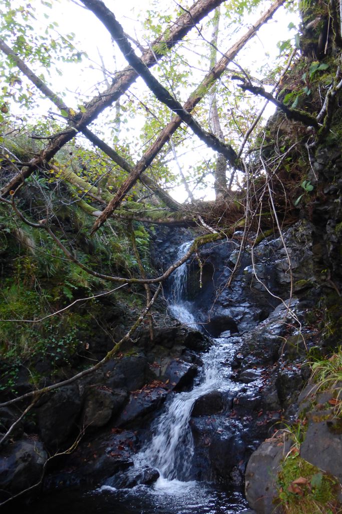
Having got to the waterfall it turned out to be as exciting as the hut circle! At least it had been #hash-tagged, as is the way nowadays. The heavily laden but abandoned spider's web nearby ended on me as I misjudged by passage by it. Ugh.
My walk continued out of the forest and along underneath Sgurr Bhreatail and past some old shielings, but the path marked on the map was not marked on the ground! And as it was nearly tea-time I headed back home enjoing the clear views of the sundrenched Cuillins safely from afar.
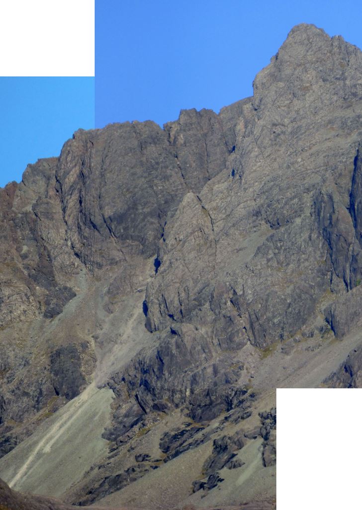
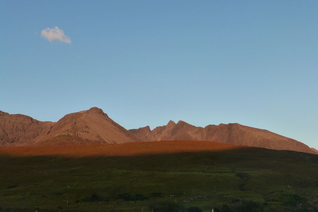
As I tucked into my beans 'n' noodles again, I took the chance to have a good look at the Great Stone Chute which is would be providing the fun tomorrow, and watched the setting sun's last rays of the day give these black hills a decidely benign red hue. I'm not sure if they would be so friendly looking in the morning sun!
Plot of the day's walk: