free to be able to rate and comment on reports (as well as access 1:25000 mapping).
Time: 8 hours 12 mins
Walking: 4 hours 45 mins
Stopped: 3 hours 27 mins
I was up Fuar Tholl almost a year ago and had to deal with poor visibility, the raging burn full of snow-melt and cornices! What a difference a year makes. I vowed then I would go back to get the views and what a perfect day I chose for it. Last year I went up and down the scree path on the east side of the Mainreachan Buttress and was always intrigued by the Leth Creag (the east ridge) ascent, so, after reading Malky_c's account of it I decided to give it a go on this fine day. Malky stated there was only a little easy scrambling and one small area of exposure.
Fuar Tholl from the path above Achnashellach station.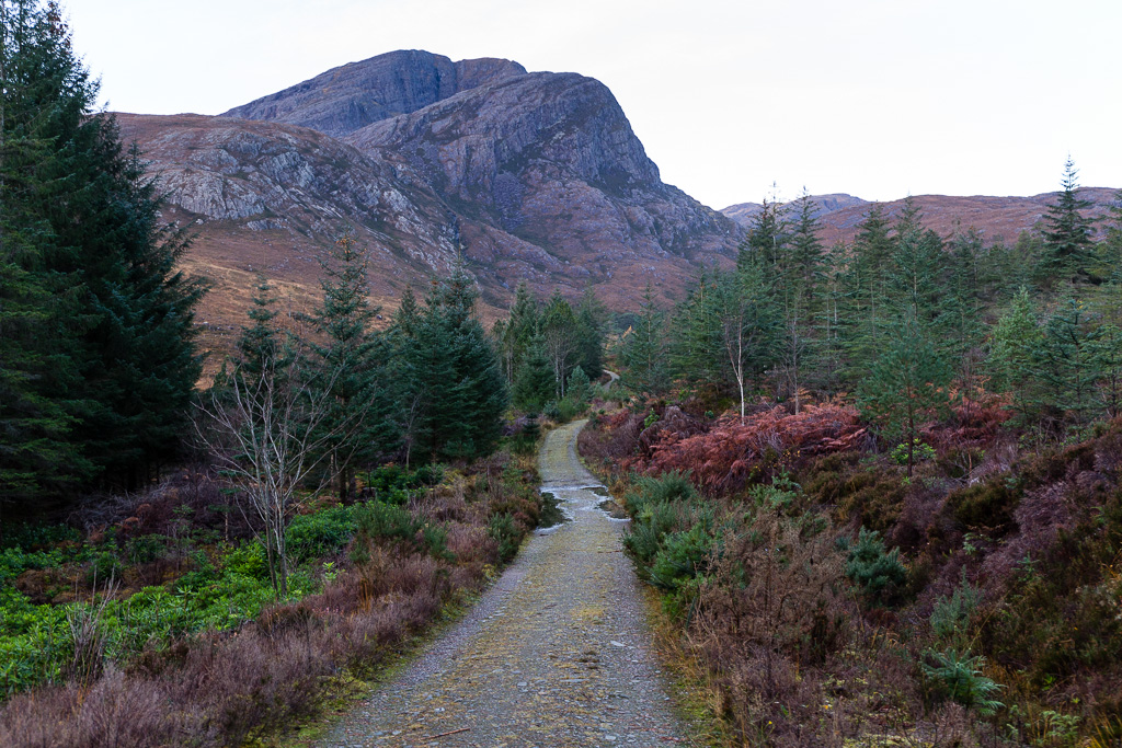 Fuar Tholl
 by
anniesmountains, on Flickr
I parked at Achnashellach and was ready to go shortly after daylight. I was worried about crossing the burn but it was easy due to the weir which required only one foot to be placed in the water - people with long legs may even be able to jump across. Then it was free ranging up the hillside. There is a fence marked on the 25k map but some of it has disintegrated so no problems there.
The weir which makes an easy river crossing. It might be a different story if the burn was in spate.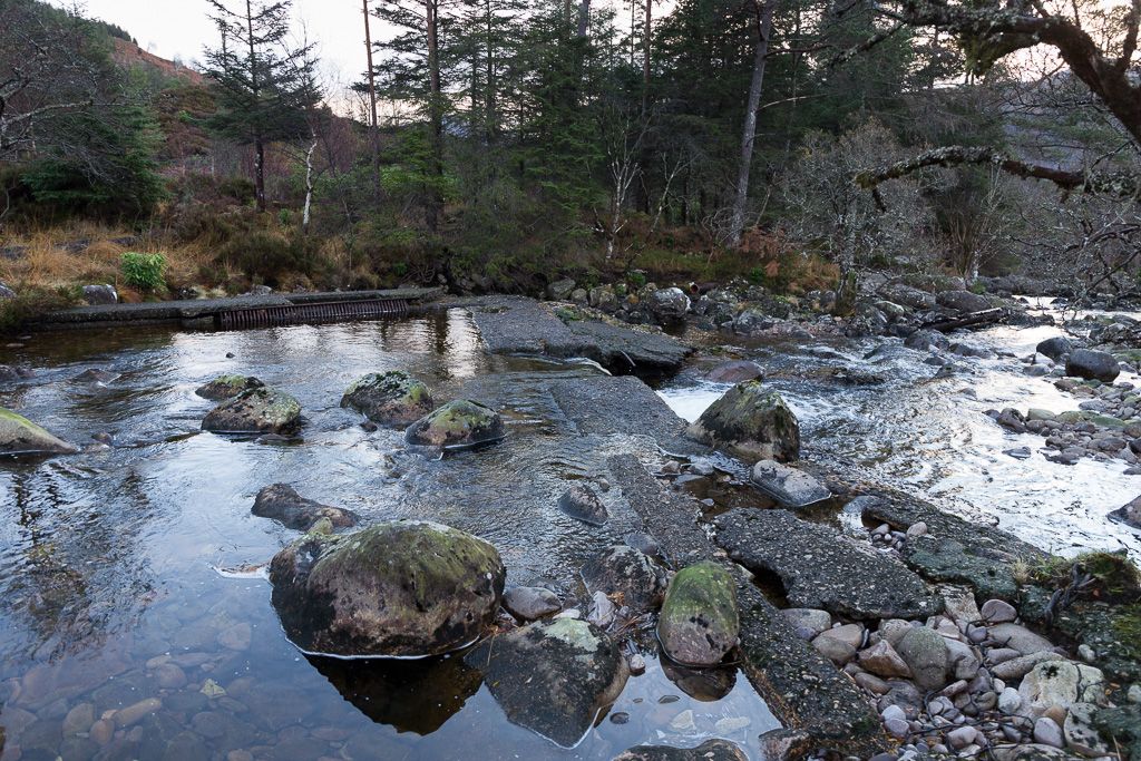 Fuar Tholl-2
 by
anniesmountains, on Flickr
The views opened up as I gained height and without too much ado I was at the foot of the corrie (no name on the map but its entrance is at the top of Sgurr a'Mhuillinn).
Entering the corrie with the South Cliffs on the left.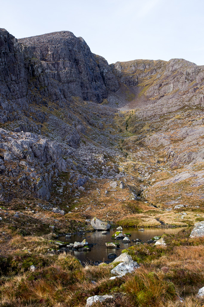 Fuar Tholl-3
 by
anniesmountains, on Flickr
I hadn't downloaded Malky's route and wasn't sure if I should go up by the side of the burn or take a sharp right (north) and gain the ridge that way. The deer paths went both ways so guessed I could get onto the ridge whichever way I went. I decided on the latter which was steep and grassy but soon got me up onto the East Ridge. I never thought of going to the 'tip' of the nose as all my concentration was on getting up the ridge - it didn't look too bad but there is a certain amount of frission as ahead lies the unknown
 On the ridge - doesn't look bad at all!
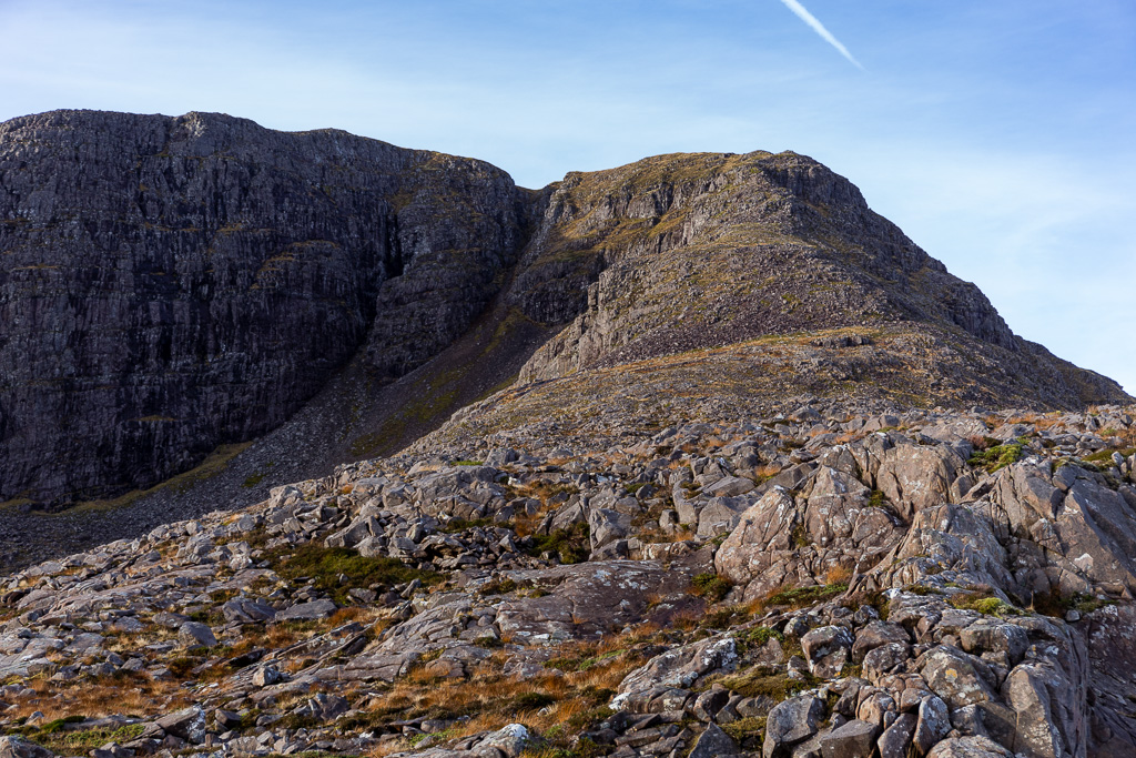 Fuar Tholl-4
 by
anniesmountains, on Flickr
Wider angle. There were lots of planes flying overhead and you can just make out the moon above the South Cliffs. A fantastic day to be out in the hills.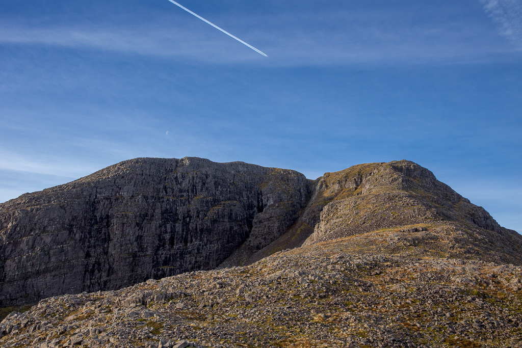 Fuar Tholl-5
 by
anniesmountains, on Flickr
Near the top (at 840m) there is a little scrambling and one very short exposed bit which is about 60cm wide with a sheer drop on one side and a steep grassy slope on the other. On a calm day such as I had it was nothing but wouldn't like to be on it on a windy or gusty day. I took some photos of my boots standing on the narrow bit but when I looked at the photos you can make no sense of them out of context!
I tried to photograph the exposed section. This side is a steep grassy slope and the other side is a drop. 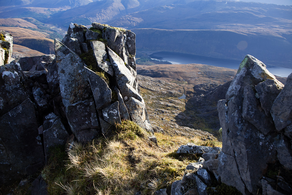 Fuar Tholl-6
 by
anniesmountains, on Flickr
Back to the scrambly exposed section. The wee lochan right of centre is the same one in the corrie shown in photo No3.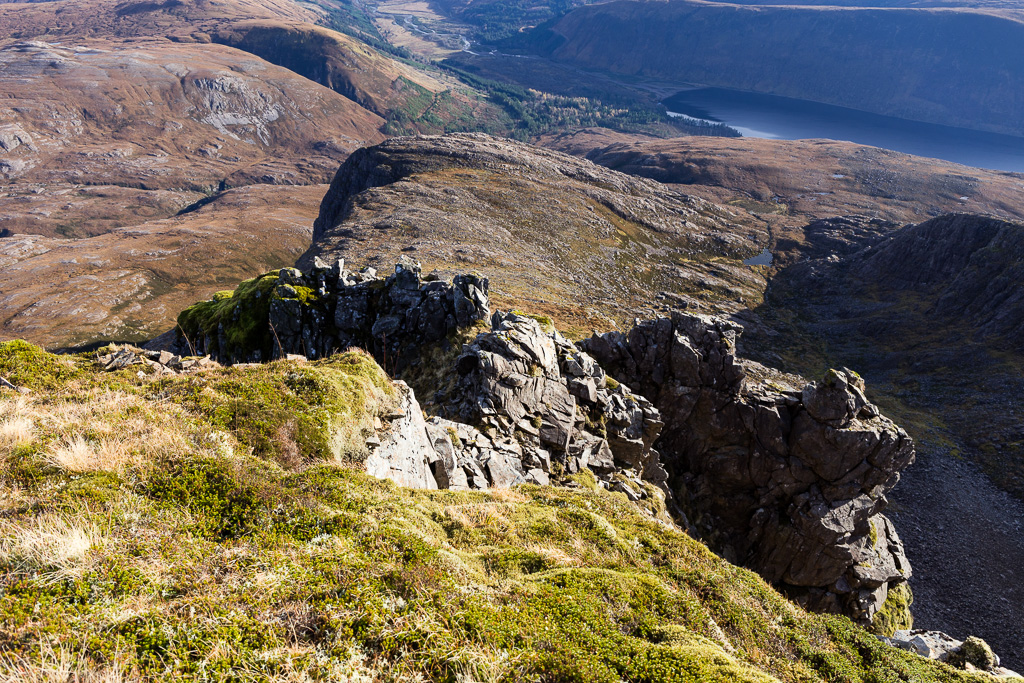 Fuar Tholl-7
 by
anniesmountains, on Flickr
Then it was no distance at all up to the summit plateau. What amazing views opened up. I could see all around - even Clisham on Harris stood out and An Teallach to the north. As the sun was low the south-west it was more difficult to distinguish the hills in Glen Sheil etc.
At the wee cairn to indicate the start of the descent (I presume). The top bit of the ridge is fairly narrow but not at all scary. You can see the south Achnashellach hills across the glen.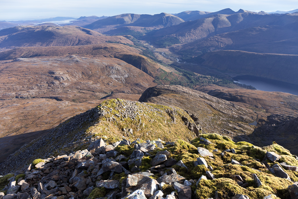 Fuar Tholl-8
 by
anniesmountains, on Flickr
The Mainreachan Buttress and Creag Mainreachan in the mid-foreground with An Ruadh-stac and Maol Chean-dearg in the mid-distance. The Cuillin and Beinn Bhan form the backdrop with the Storr just peeking out on the right.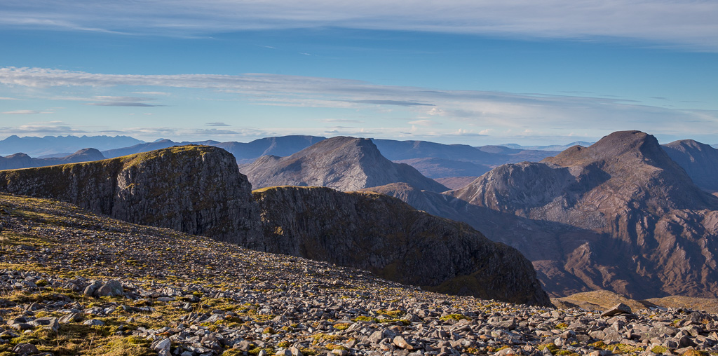 Fuar Tholl-9
 by
anniesmountains, on Flickr
Maol Chean-dearg dominates the view and you can see all its complexity from here. In my experience it's a much nicer hill to look at than it is to climb! (I'll have to give it a go from the Torridon side though.)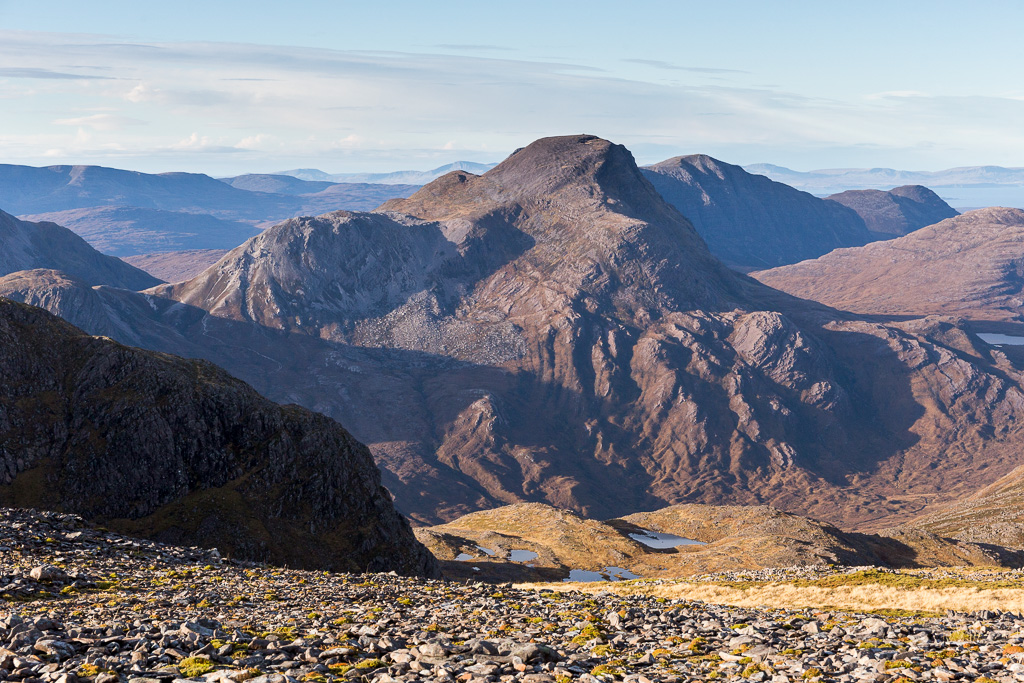 Fuar Tholl-10
 by
anniesmountains, on Flickr
The summit shelter from the top of the South Cliffs.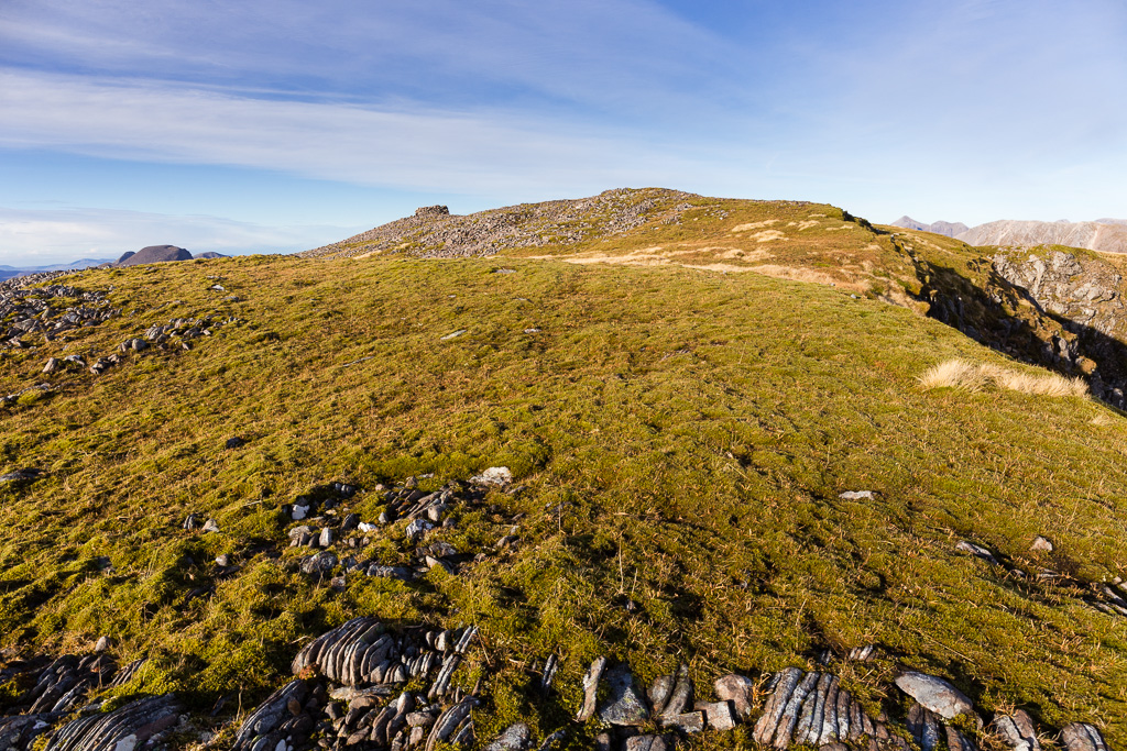 Fuar Tholl-12
 by
anniesmountains, on Flickr
Looking over to the ridge of ascent with the notch and sheer drop over to the right where the vertical shadow is.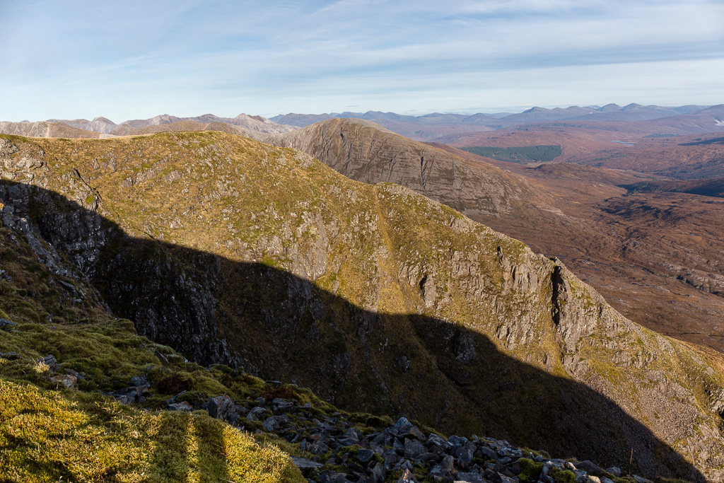 Fuar Tholl-13
 by
anniesmountains, on Flickr
Glen Carron and Loch Dughaill with the south Achnashellach hills behind.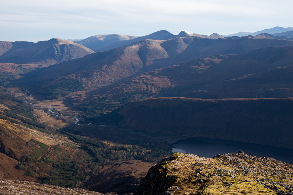 Fuar Tholl-14
 by
anniesmountains, on Flickr
Maol Chean-dearg, Beinn Damh, Beinn na h-Eaglaise and Sgorr Ruadh. In the background are north Skye and Harris with Clisham clearly the highest hill on the island. Fuar Tholl-16
 by
anniesmountains, on Flickr
Selfie beside the summit shelter! The whole ridge of Beinn Liath Mhor is across Coire Lair. Beinn Alligin, Liathach, Beinn Eighe, Slioch, An Teallach and some of the Fisherfield hills are all visible.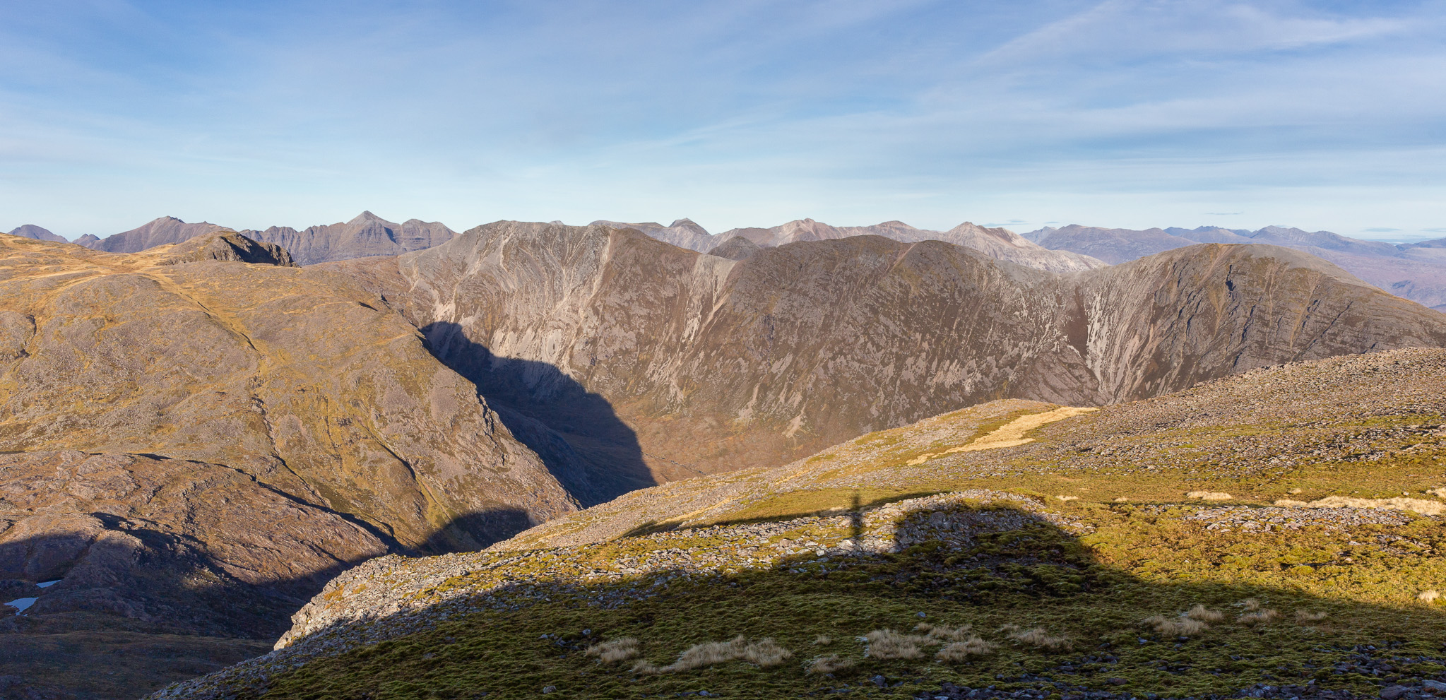 Fuar Tholl-29
 by
anniesmountains, on Flickr
Lochcarron and Loch Carron. You can see Rum on the right and Bein Sgritheall to the left (amongst others)! 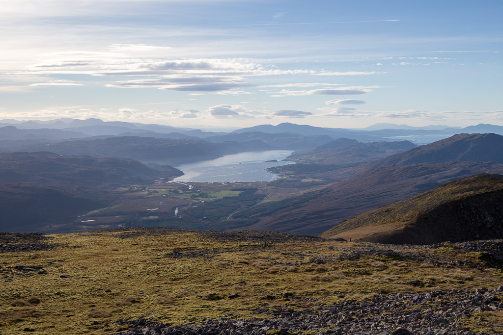 Fuar Tholl-18
 by
anniesmountains, on Flickr
Sgorr Ruadh is right of centre with Liathach behind.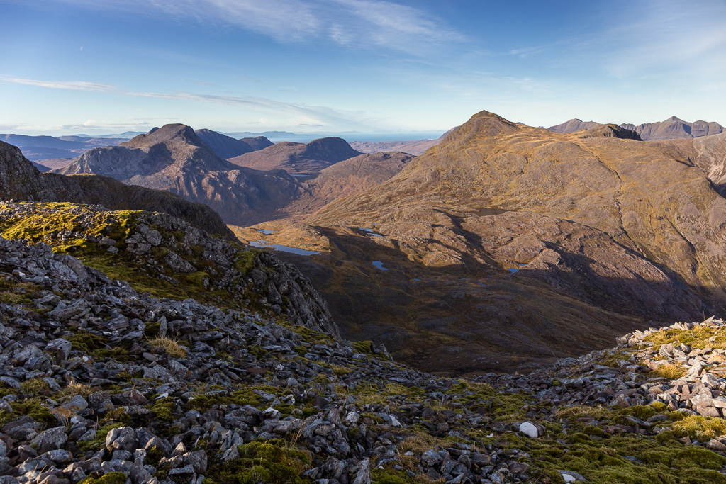 Fuar Tholl-19
 by
anniesmountains, on Flickr
As I was eating my lunch in the summit shelter I heard some voices and Iain and Claire from Inverness appeared. They had come up by the Buttress and left their packs at the top of the scree path. We had a good chat and I was to see them again later.
I wanted to walk the whole ridge this time and take in all the views of the near-by hills.
The Buttress from the bealach. You can just see the tiny figure on the top next to the cairn. 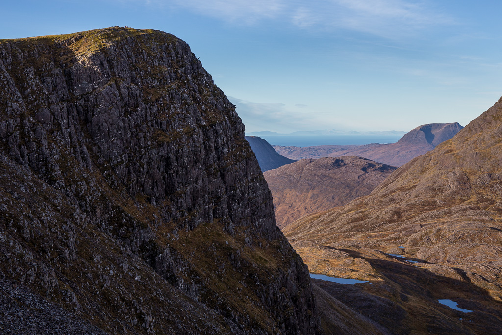 Fuar Tholl-20
 by
anniesmountains, on Flickr
Meall nan Ceapairean and An Ruadh-Stac with the Applecross hills behind. Cuillin to the left and Sgurr a' Gharaidh is the bump in front. You can just see Beinn a'Chlachain to the very right (where I was the previous week) behind the lower top of Beinn Bhan. 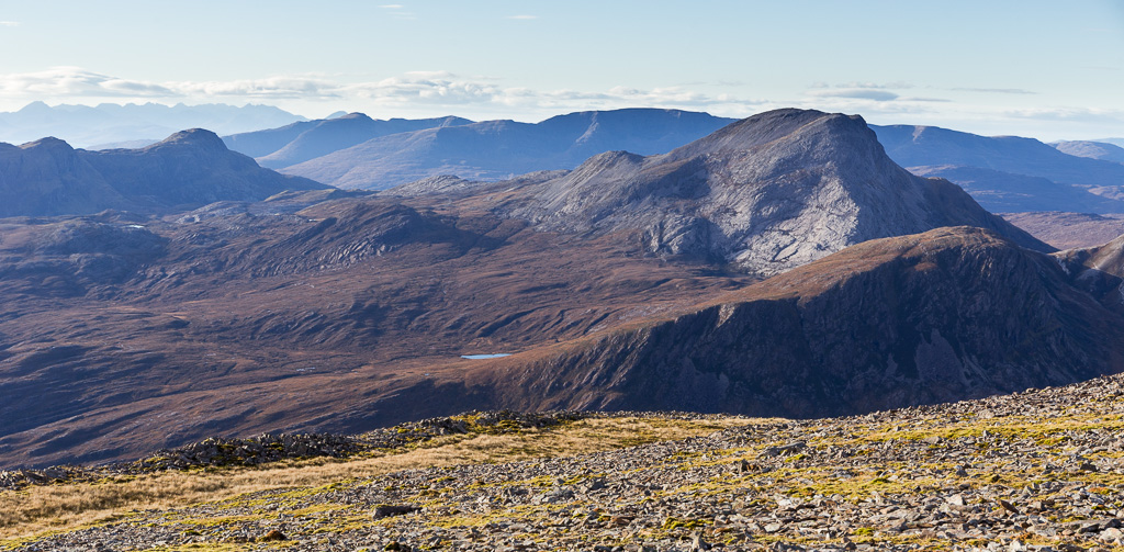 Fuar Tholl-21
 by
anniesmountains, on Flickr
At the top of the Buttress I came upon Iain and Claire having lunch and I remembered to ask them about crossing the River Lair further down. They had to go up to the island and said it was very slippery but they did not have walking poles and I did, so I reckoned I would manage fine - hah!
Better view of Sgorr Ruadh from the west side of the Buttress. You can see the path far below.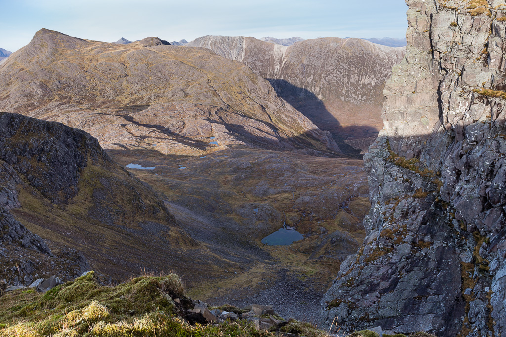 Fuar Tholl-22
 by
anniesmountains, on Flickr
Creag Mainnrichean is the third top of Fuar Toll.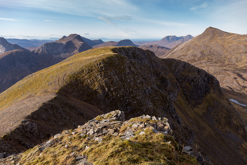 Fuar Tholl-23
 by
anniesmountains, on Flickr
Back to the Mainreachan Buttress from the west side. You can see the side of Beinn Liath Mhor reflected in Loch Coire Lair.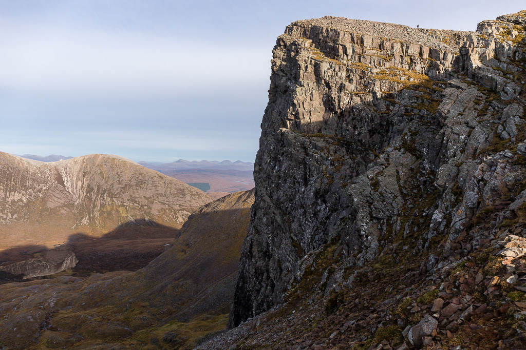 Fuar Tholl-24
 by
anniesmountains, on Flickr
The descent from Creag Mainnrichean was very steep but there is a good path for the tricky bits and the remainder is loose quartzite. The young ones overtook me at the top so there were some good photo opportunities of them descending.
Iain and Claire starting the descent. Loch Coire Fionnaraich below Maol Chean-dearg.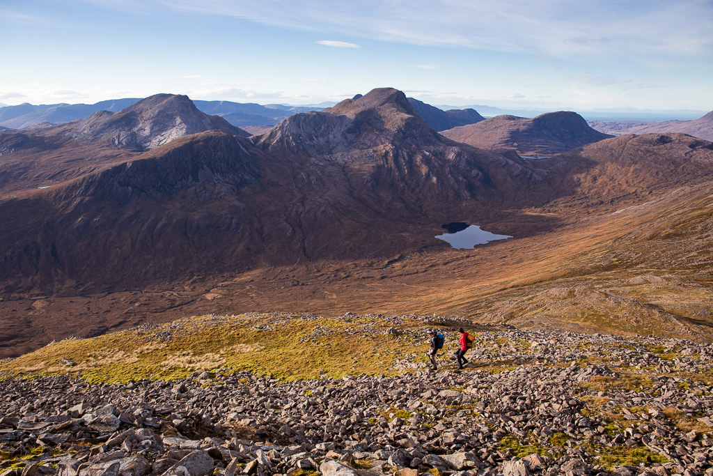 Fuar Tholl-25
 by
anniesmountains, on Flickr
Almost down to the lochans and then the path. This bit was steep quartzite scree. Yuck!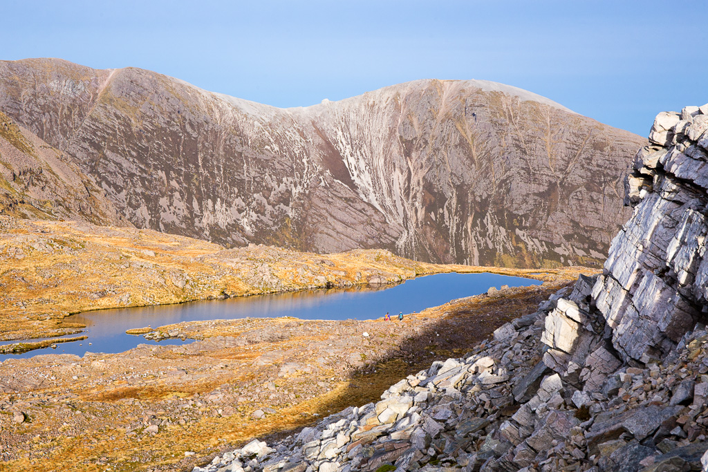 Fuar Tholl-26
 by
anniesmountains, on Flickr
Once down at the lochans it was then just a matter of making a bee-line for the main path and the descent into Coire Lair.
Back at the path above Loch Coire Lair. Beinn Liath Mhor across Coire Lair.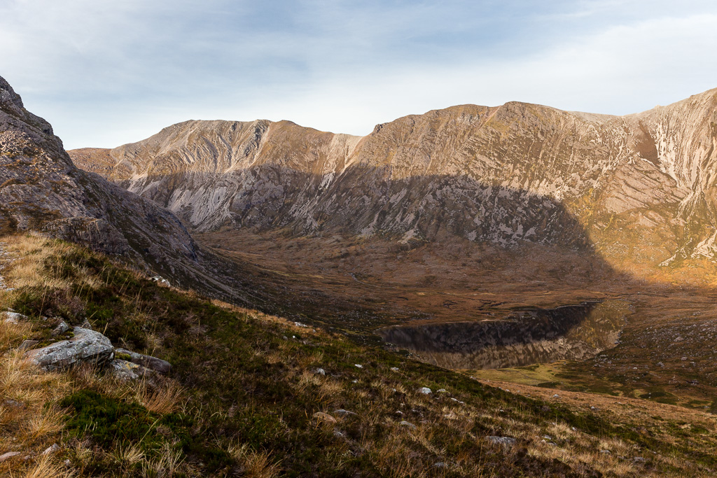 Fuar Tholl-27
 by
anniesmountains, on Flickr
The river crossing was not as easy as I'd hoped. I did go up to the island but the rocks were all slime covered and extremely slippery. Even with two walking poles great care was required - how I&C crossed without poles I don't know as they were long gone by the time I got there. Anyway, I got across without falling in but it was with great relief that I was on dry land again
I kept looking back at the Beinn Liath Mhor ridge - it's a really fabulous hill and although I've been up it twice already I'm already planning a third trip in a clockwise direction.
Beinn Liath Mhor in the late afternoon sun.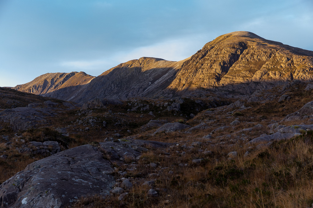 Fuar Tholl-28
 by
anniesmountains, on Flickr
As for Fuar Tholl, I'll be back to this one too - it's just too great a hill to stay away from!
