free to be able to rate and comment on reports (as well as access 1:25000 mapping).
Date - Sun 30/05/10
Hills - Eaval (Eabhal) 347m [North Uist]
Route - Start from end of minor road along Loch Euphort. Skirt around E side of Loch Obasaraigh, pick up ridge and take whatever line you see fit. Retrace steps to return from summit.
Weather - Excellent
People - Me / Michelle
Time - 4.5 Hours
Distance - 11.3km
Ascent - 417m
Max Altitude - 347m
After a few days in Skye we were about to drive back to base in Inverness on Friday evening. Next thing we knew we were booked on to the ferry from Uig (Skye) to Lochmaddy (N.Uist). Only remaining problem was to get from Broadford up to Uig in time. Sport button on (sort of thing you get when you get a better hire car than you'd booked

) and we made it in good time. Michelle's bagged loads of Scottish Islands over the years. As for me- this was the first time I'd been to any island other than Skye, and this was to be my first ferry trip.
We'd booked a B&B in N.Uist for the night. We quickly decided it would be criminal to go home to the following day and decided to camp in Benbecula for the 2nd night and sail back to Skye on Sunday. This turned out to be an excellent decision allowing us plenty of time to explore the islands (a few reports for wee hills to follow) prior to walking up Eaval on the Sunday morning before our 1615 ferry home. Throughout the trip we were pleased to get some great weather.
We'd hoped to be walking by 9am. Turned out to be nearer 10am. Plenty of time for the route but we couldn't afford excessive dawdling around as we are partial to. The ferry wouldn't wait for us!
After parking at the end of the road we continued on the track, through the gate next to the house, and out on to the moorland.
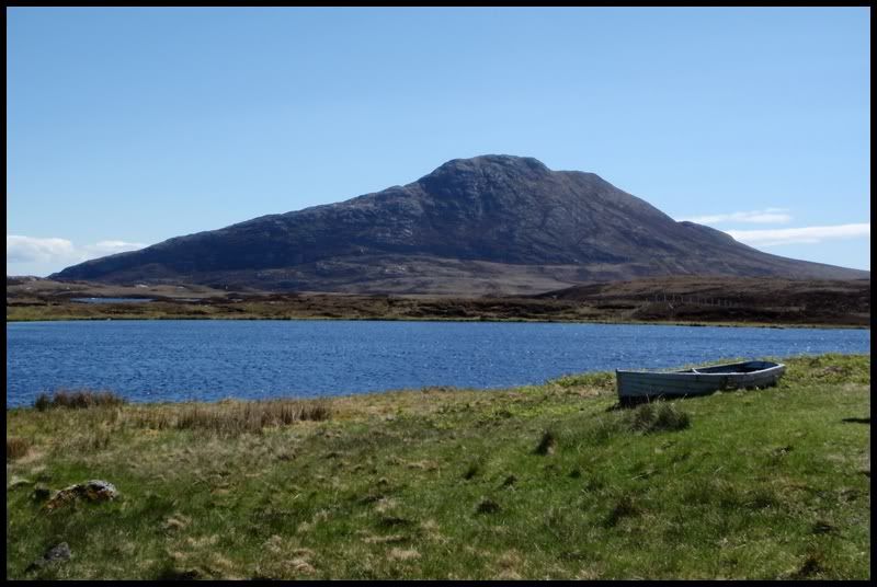
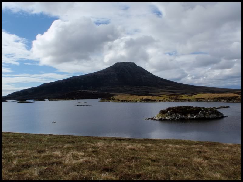
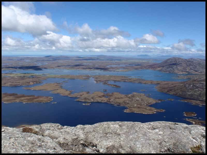
Eaval, on the scales we're all used to, is a small hill. At 347m it'd be dwarfed if standing in many areas. Situated in North Uist it dominates the landscape, and without any neighbouring hills to give scale it looks twice the size it actually is.
Eaval - viewed from near start of the walk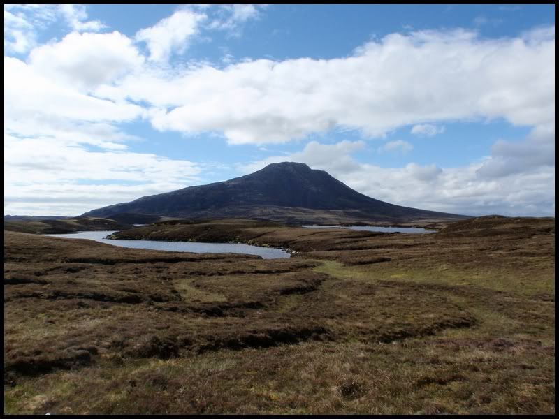
 Looking back to the causeway of stones across the outflow of Loch Obasaraigh
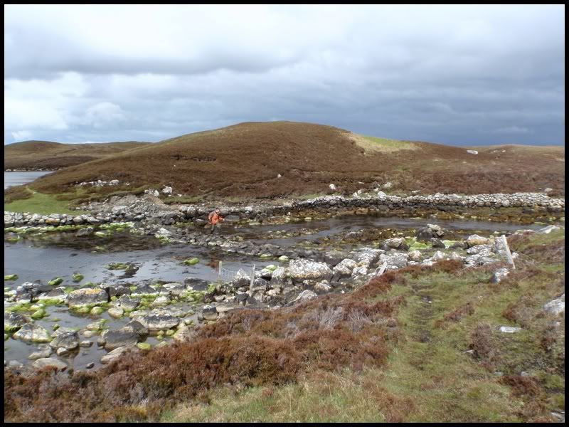
It was a very calm morning and the midges in the heather during the walk in were driving me crazy! I had to employ my 'midge run' (the usual sprint with flapping arms!) until I found a breezy standing point. Michelle did a much better job at braving the little ^%$**%$.
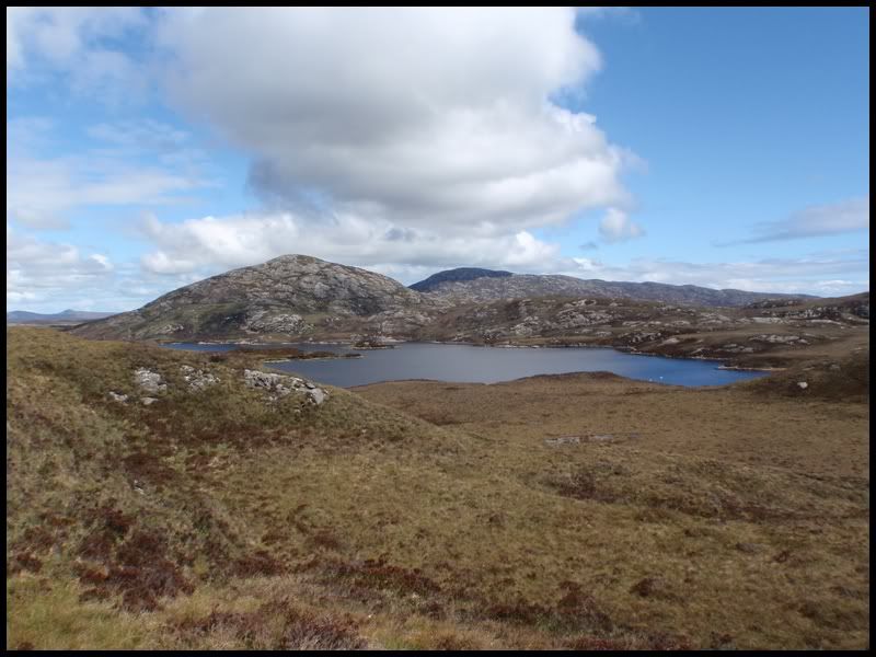
Looking back toward Burabhal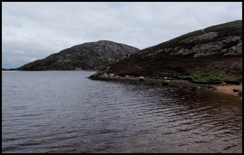
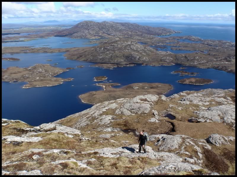
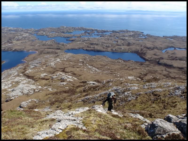
After about 1hr 15mins we arrived at the base of the hill and began the ascent. There's a faint path up the broad ridge but this quickly dissapears. There's plenty of rock and small craggy sections mixed in with grass, and varying bogs. Any difficulties were easily avoided and on the ascent we stuck to more rocky sections that offered a good bit of optional scrambling on the steeper parts. However you do it you'll be weaving a line up the ridge all the way to the summit. It made for an interesting and eventful ascent all the way, not to mention the unique views that were constantly opening up.
 We spotted the 1100 ferry leaving. The next, and last of the day, was ours at 1615
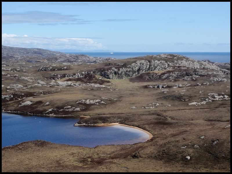
 Summit
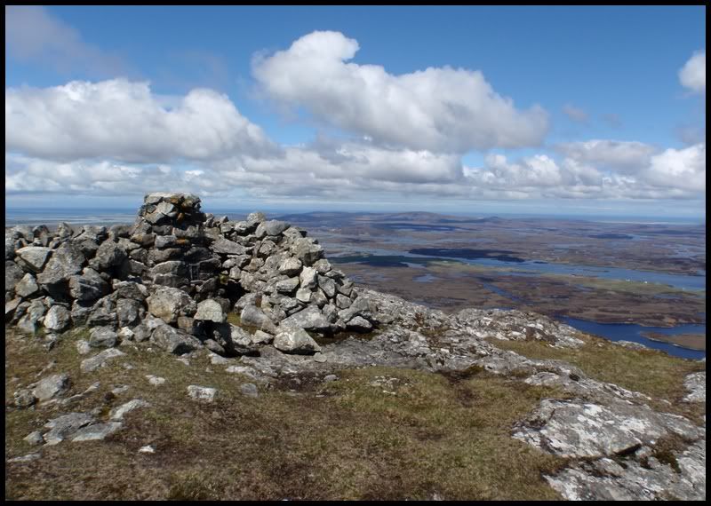
 South
South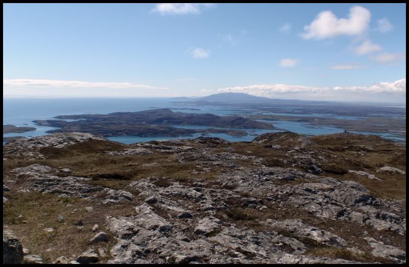 West
West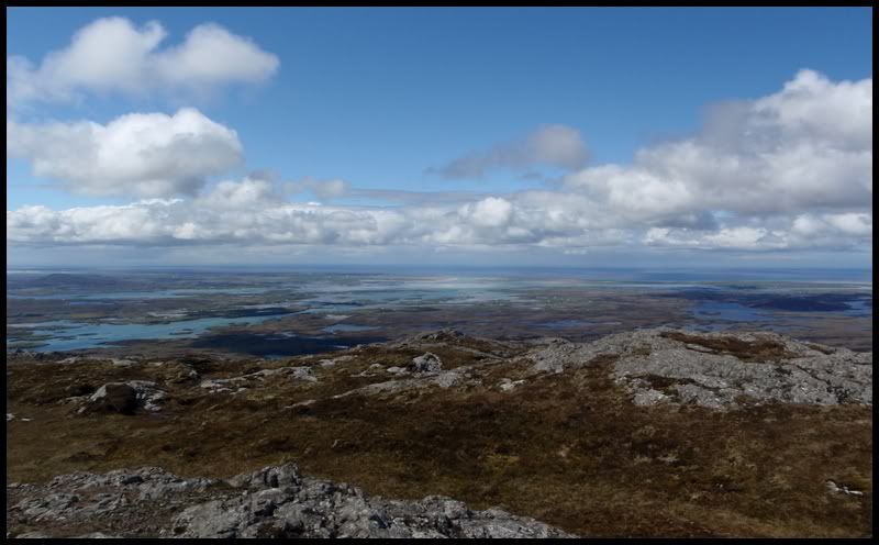 NW
NW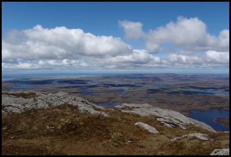 North
North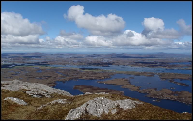 NE
NE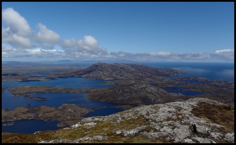 East
East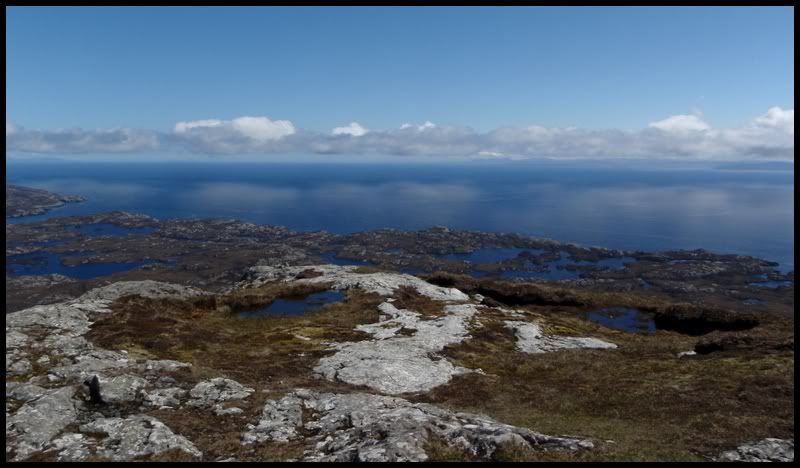
Summit panorama

Large version
http://farm5.static.flickr.com/4070/4674600306_992a331873_o.jpgZoomed - starting point next to house in centre of pic. 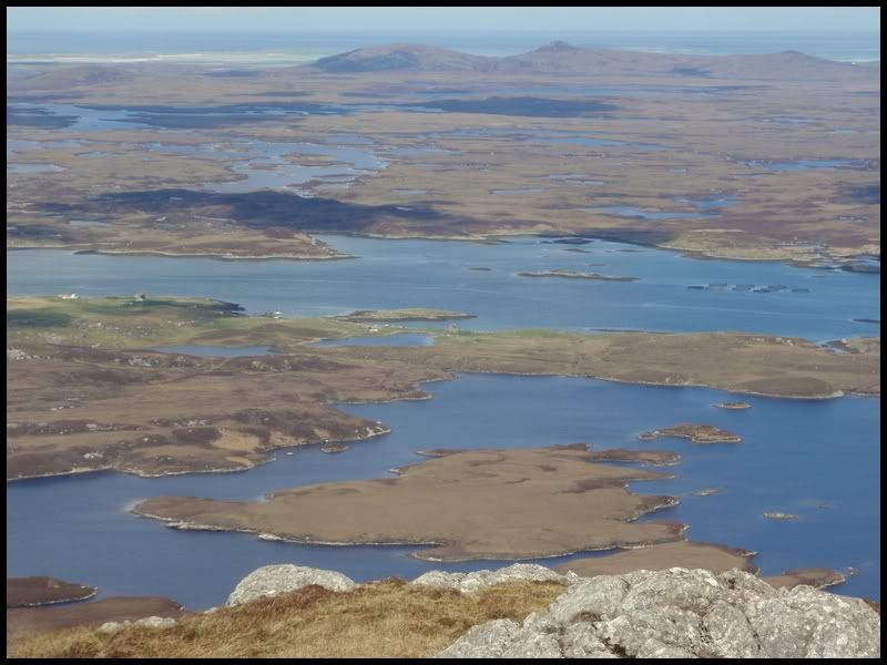 Looking SW from summit over the cairn
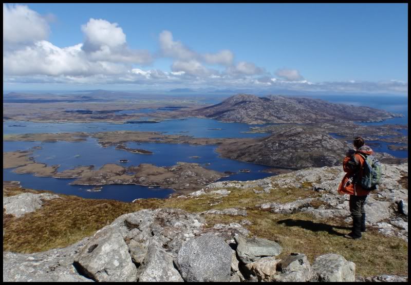
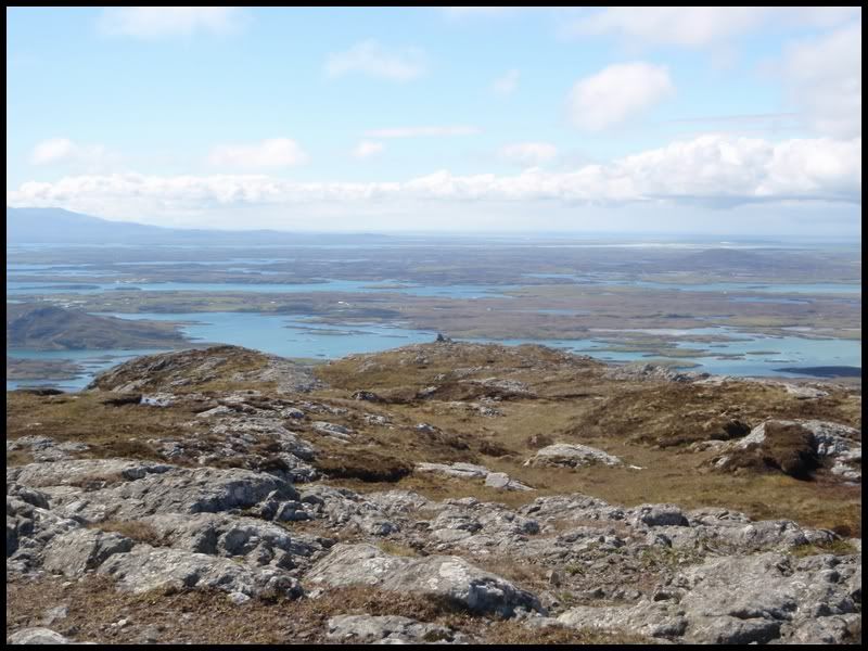 We started the first section of descent on a primarily grass/heather section before moving more toward our original line.
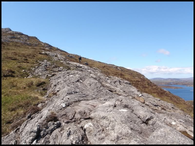 Looking over to Skye. What I think is MacLeods tables in the foreground, with the Cuillin behind (?).
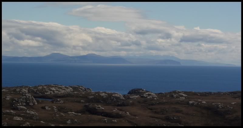 Arriving back on level ground
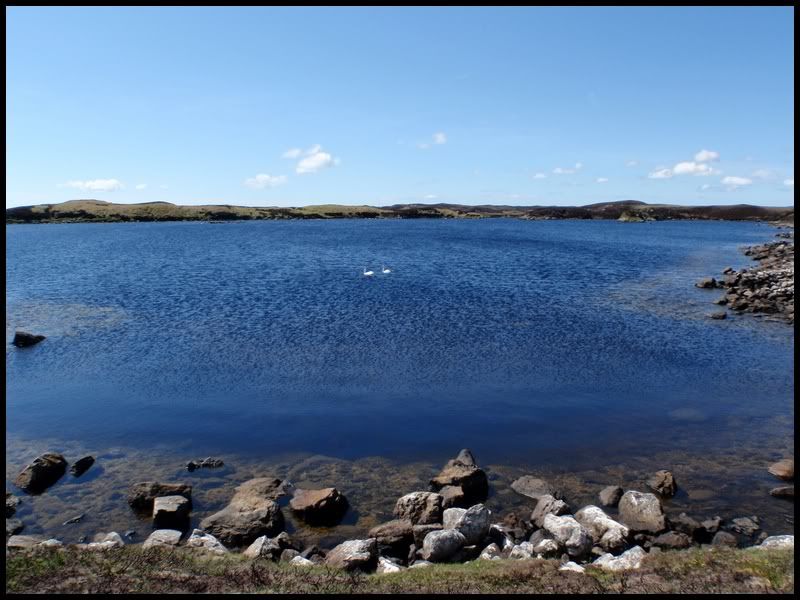
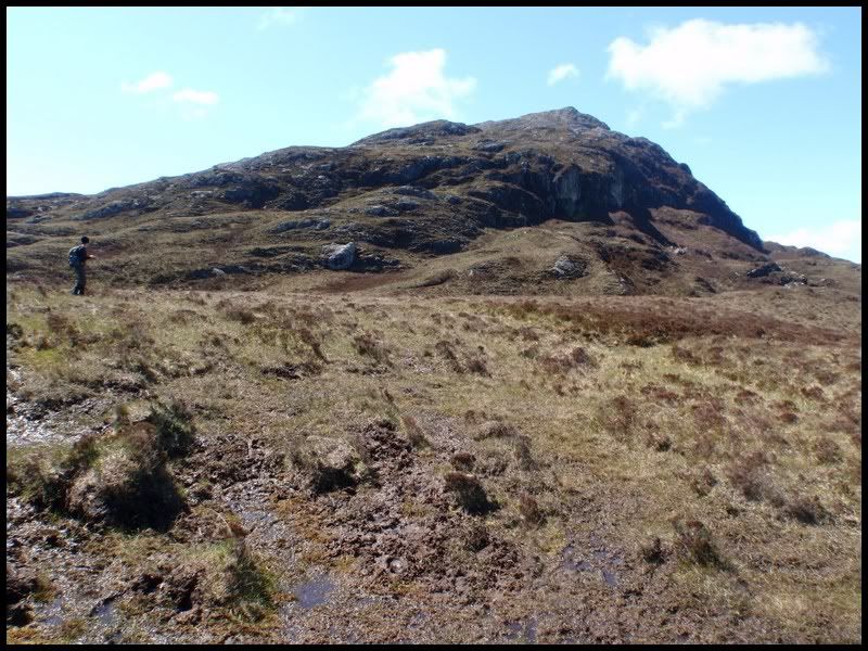 Retraced steps along the path at the edge of the Loch with its resident swans
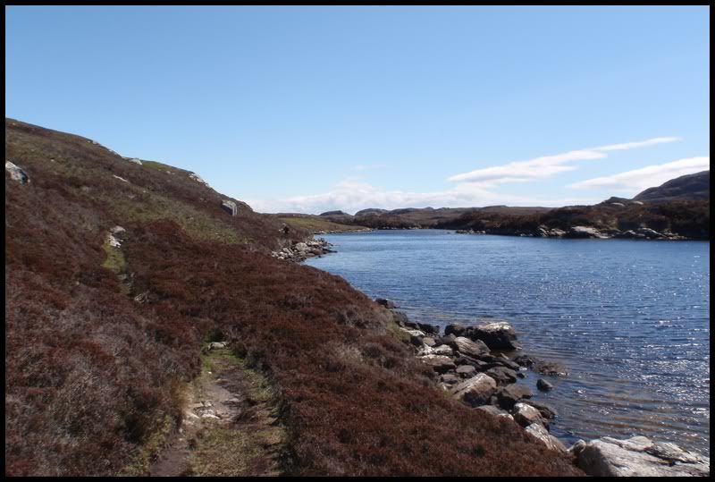
 Found a skelton along the way (deer?)
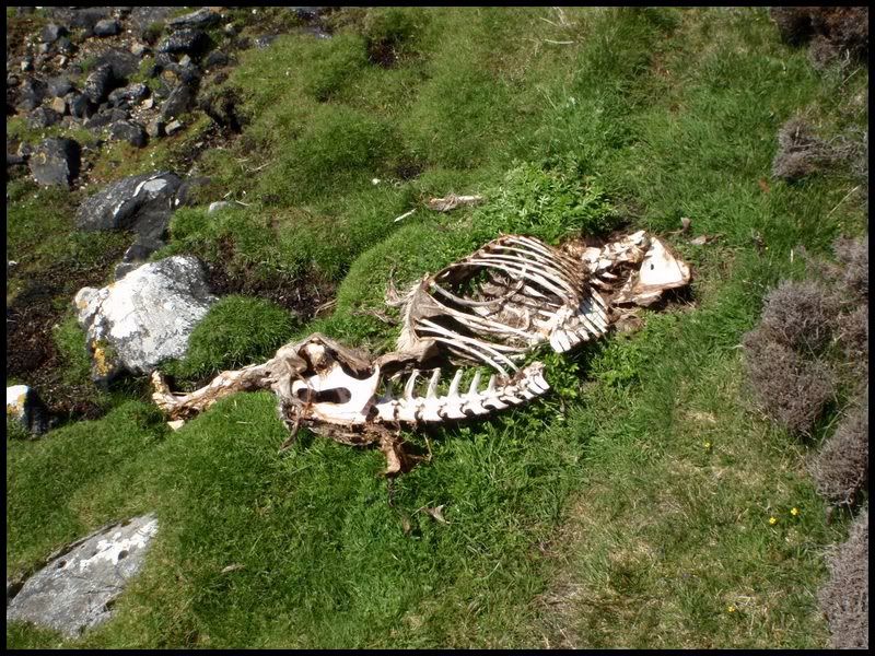 Some sort of bird of prey (I'm terrible at identifying!) circled up above
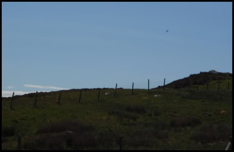 A final glance back toward Eaval
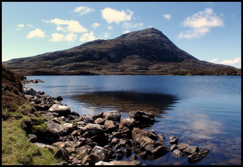
A fine end to a fantastic trip to the Outer Hebrides (which also included
Beinn Sciathain on Eriskay)
Ferry to Skye - Drive to Inverness - next day we ended up in the Cairngorms....
