free to be able to rate and comment on reports (as well as access 1:25000 mapping).
Corbetts: Beinn Bheula.
Grahams: Cruach nan Capull, Creag Tharsuinn, Beinn Bheag, Beinn Mhor, Beinn Ruadh, Beinn Lochain, Stob na Boine Druim-fhinn, Cruach nam Mult, Stob an Eas, Cnoc Coinnich.
Sub 2k Marilyns: Cruach Neuran, Sgorach Mor.
Date: 31/07 to 03/08/2015.
Distance: 118km.
Ascent: 7210m
Time taken: 40 hours, 30 minutes over 4 days.
Weather: Mostly rubbish, with some sunshine on Saturday.
I'm glad I waited a couple of days to write this up, as it has given me time to think about the parts of the trip that were good, and which bits of Cowal I'd like to go back to again. If I'd written this as a diary along the way, it could have been condensed into a few simple sentences such as 'Oh look, it's raining again'...'those are some lovely Sitka trees'...'not
more uphill'...'I'm tired'...'I'm hungry'...'my feet are wet'...'my feet hurt'...'please let it be time to stop and camp' etc etc.
I had come up with an idea for a long walk from Dunoon about 3 years ago when I noticed how feasible it was to walk up onto Cruach nan Capull directly from the Gourock ferry. It seemed to be the best way to link up lots of the hills and see the area. The first plan was about 7 days long, and ended in Ardlui. I thought that might be hard going so came up with a couple of shorter versions - a 3 day loop from Dunoon and a weekend from Arrochar. After chopping and slicing the plans further, I finally settled on a 4 day route from Dunoon to Arrochar, taking in all 10 of the Grahams and the single Corbett between those two places, not to mention a couple of other hills I fancied. This was long enough to need a bit of forward planning. Given the poor weather this summer, I decided to take waiting for a weather window out of the equation and just book some cheap train tickets for a convenient long weekend.
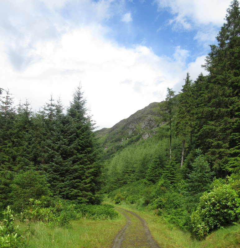
Normally I like to pick routes from the map, but I knew Cowal was very forested, so if the trip wasn't going to be a complete disaster, I'd need to do some research. Cheers to various posters across Scottish Hills and Walk Highlands for highlighting the best forestry tracks, fire breaks and rides to follow up onto the hill, and how to find them. I found reports by smiffysmc, Squiz, Neillydunn, Kathy and Cuillin particularly useful for saving me from the worst of the terrain.
Looking at the forecast just before I left, it could barely have been worse. I had hoped for a varied forecast at best, but it seemed to be suggesting wall to wall rain for the next 4 days. I can't say that really helped my motivation, but I was going now regardless. At least any sunshine I got would be a bonus!
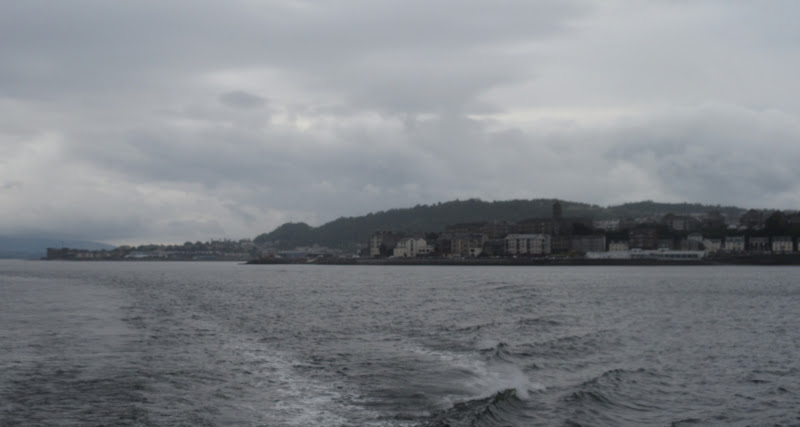
To make the most of the first day, I took the train down to my sisters place in Edinburgh the night before. Then I was able to get the train through to Gourock in time for the 8:20am ferry the following morning. The weather was already looking decidedly grey on the way over to Gourock, and by the time I arrived in Dunoon, the first drops of rain were falling. I had discovered that the Tighnabruich bus route passed the start of the most common route up Cruach nan Capull, so I idled 40 minutes or so away in a bakery cafe in the high street, on my 3rd breakfast by now

. This chopped off at least a couple of hours of walking from the start of the route (and the Marilyn of Black Craig, which I hadn't been particularly excited about anyway).
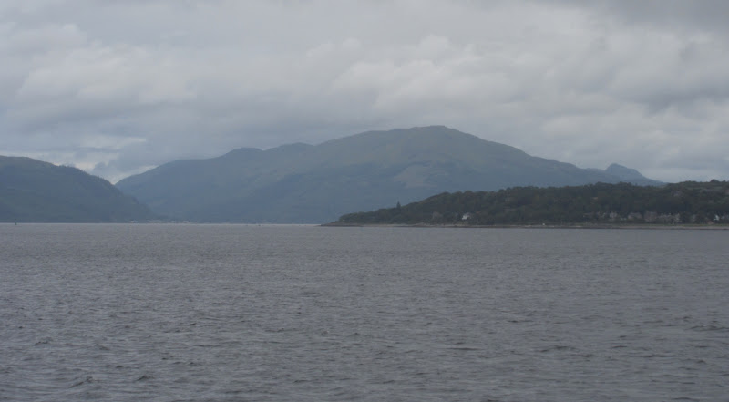
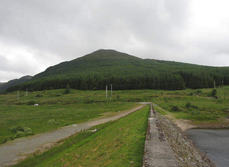
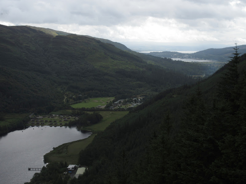
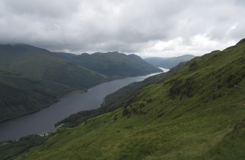
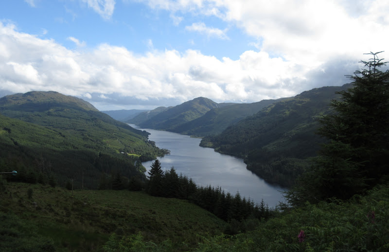
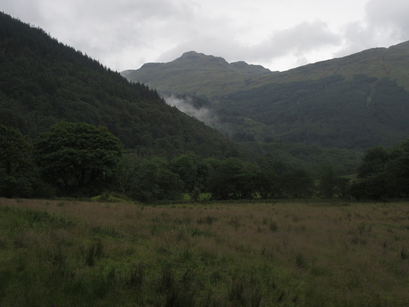
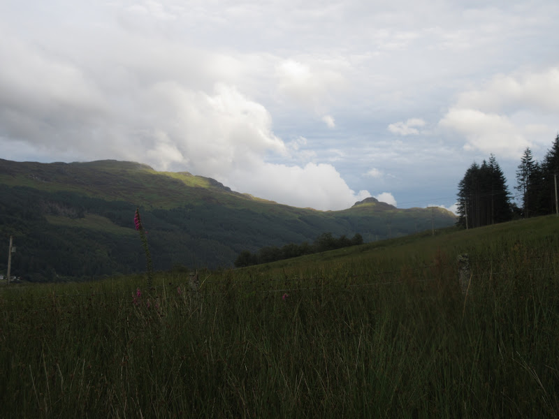
Day 1 (31st July): Corrachaive to Bealach Bernice. 30km, 2600m ascent, 11hr 45min Overcast turning to wet.Beinn Ruadh from the ferry:
Goodbye Gourock:
The bus driver was happy to stop wherever I wanted so I got off the bus at about 9:50am at the head of the Corrachaive track. The weather didn't look overly promising, but not that bad either - at least I could see my first destination.
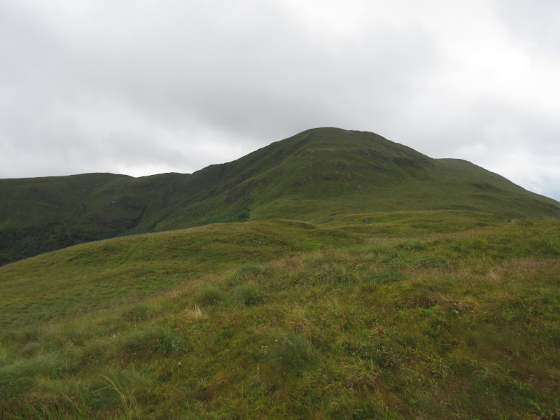
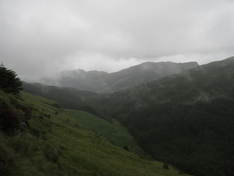
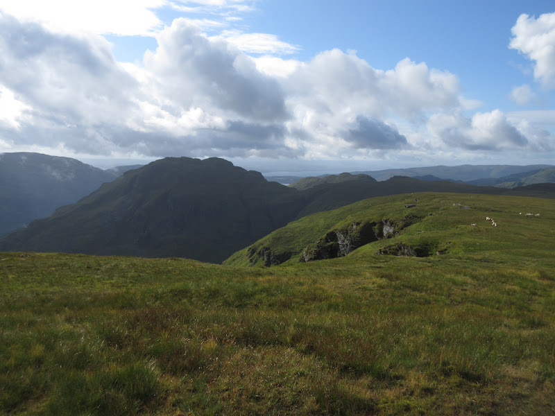
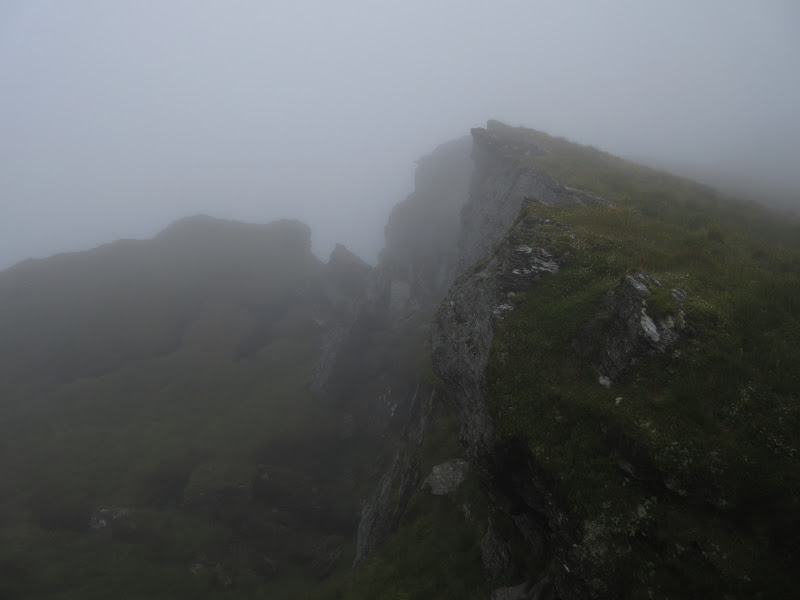
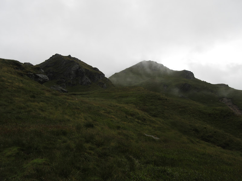
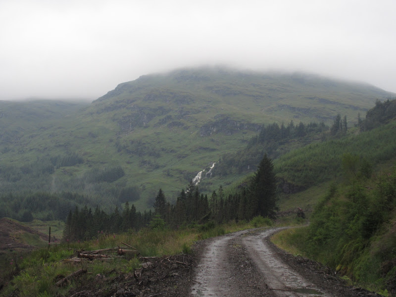
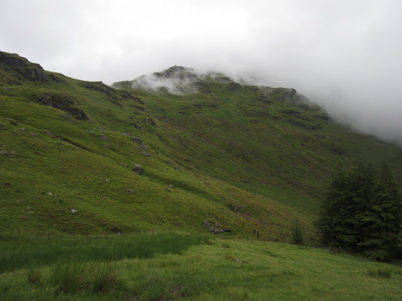
Aproaching Cruach nan Chapull from Corrachaive:
I nearly fell over immediately - the ground was obviously going to be very greasy over the next few days, even on the forestry tracks. At the back of the corrie I turned left onto a narrow and boggy track - this wound up through the trees onto the ridge. Wet in places but generally easy going. I dropped my backpack next to a fencepost and headed up the last steep 200m to the summit. I'm sure the views of Arran are great from here, but the clag moved in at the last minute and it started raining. Oh well!
Looking back to Cruach Nan Capull from Mid Hill:
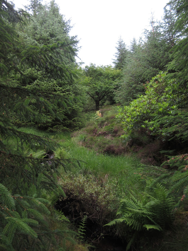
I dropped back to my bag and onto Cruach Neuran. The plantation crossed the ridge at the lowest point but there was a swampy route through the trees that led to a burn. I followed this up out of the woods and up onto the summit.
The route up Cruach Neuran:
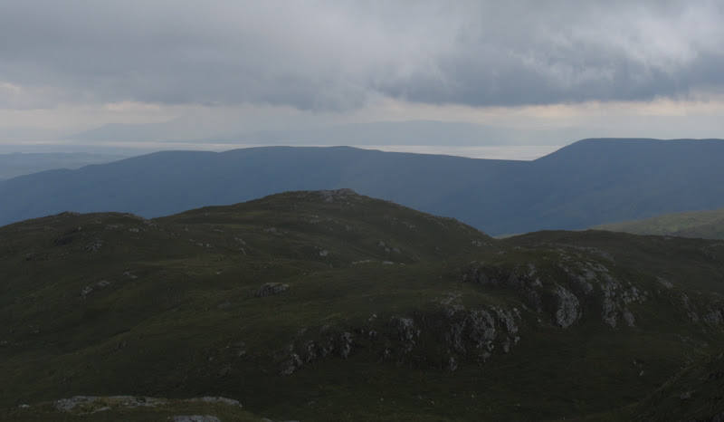
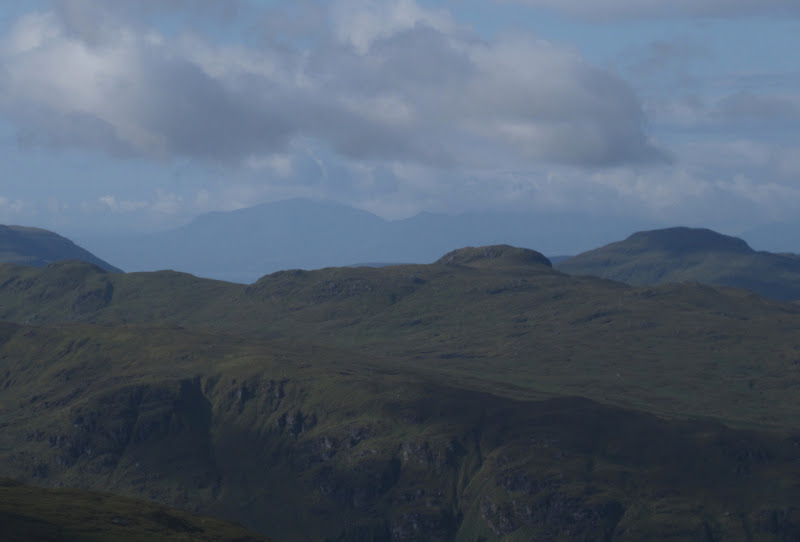
More luck here, as the cloud blew away after a few minutes and I was able to appreciate my surroundings. Sgorach Mor was prominent to the north, and I thought I could probably see the north end of Jura in the distance away to the west.
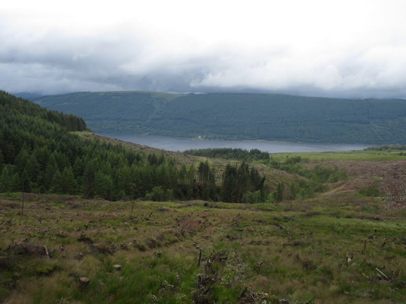
Back down Glen Lean to Dunoon:
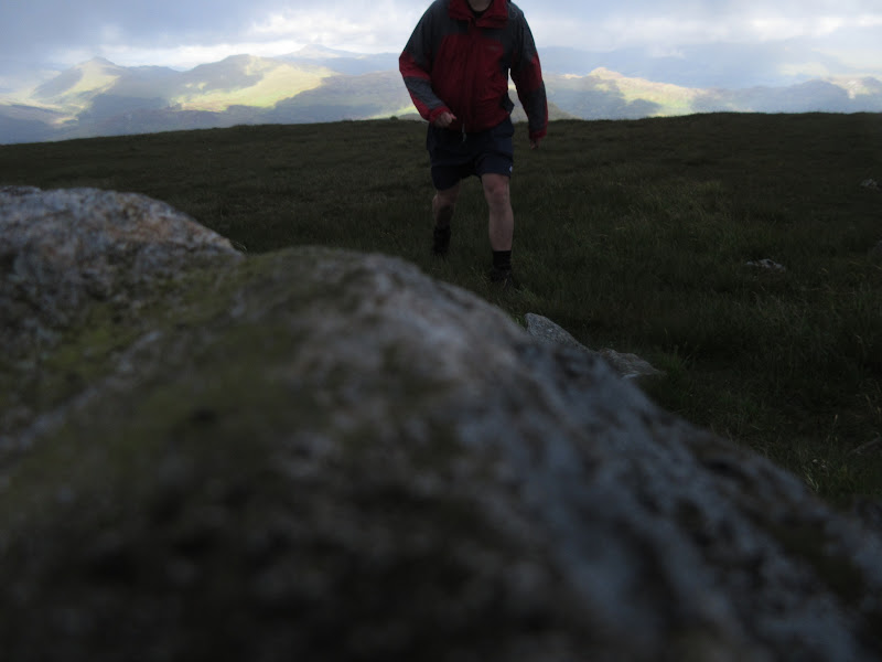
Failed self-portrait #1:
Looking south to Arran:
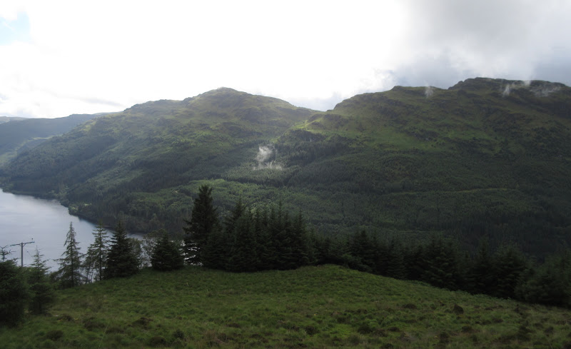
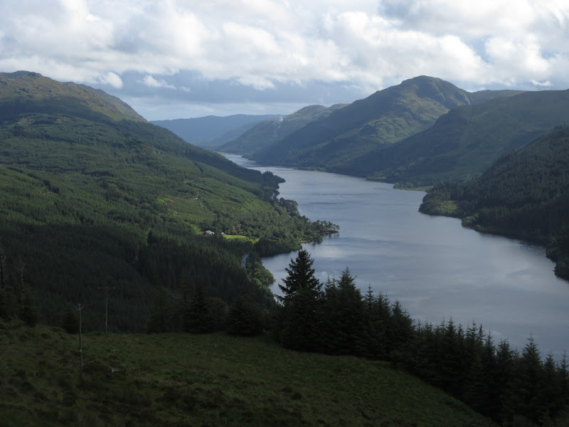
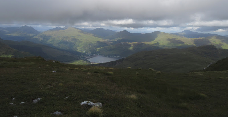
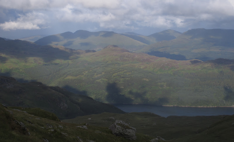
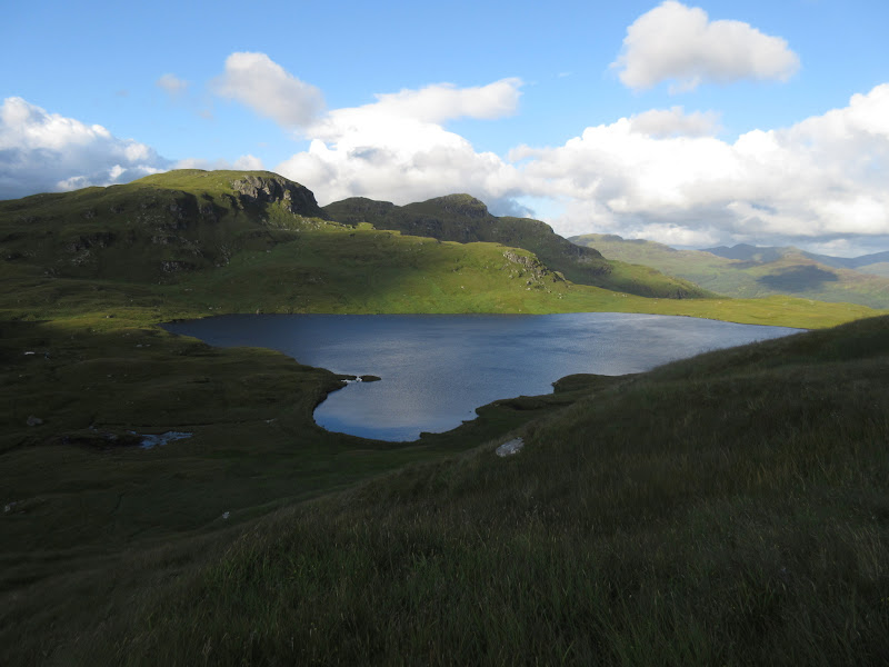
Loch Tarsan with Creag Tharsuinn to the right:
Loch Striven:
Creag Tharsuinn and Beinn Mhor with Sgorach Mor in front:
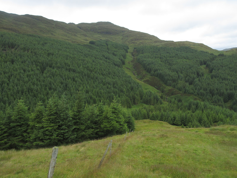
The way down could have been awkward, but having read some reports, I knew there was a fire break to the NW. I could see a few, and entered one with a burn in it. I was quite surprised and pleased to be led right to the road with minimal fuss in about 30 minutes. I hoped all of my other forestry encounters would be this easy

.
Back to Cruach Neuran from the second Tarsan dam:
I crossed over the eastern dam on Loch Tarsan, planning to take a shortcut through the woods to reach the forestry track on the flanks of Sgorach Mor. I was less lucky here, and ended up pushing through pine needles and cowering beneath branches. It was short though.
Probably not the best shortcut:
Decision time. I was keen to include the three sub 2k Marilyns in Cowal that were over 600m as well as all of the Grahams, as they all looked quite interesting. I had already been up Cruach Neuran - would the weather hold for Sgorach Mor? I could miss it out if I wanted, as the track I was on (although not shown in its entirety on the map) now went right through to Glen Massan.
I headed up the boggy forestry track towards Sgorach Mor, to encounter cloud and a fresh shower just as I left the trees. I thought it would pass but it didn't, and I got soaked up here. I had planned to dump my backpack halfway up but didn't reckon I'd find it again, so carried it all the way to the base of the summit crag.
A last glimpse of the summit of Sgorach Mor before it got obliterated by heavy rain:
I descended towards Glen Tarsan and some forest that wasn't on my map. The last 100m before the forest was tussock hell, and surprisingly the short descent through the trees was quite easy.
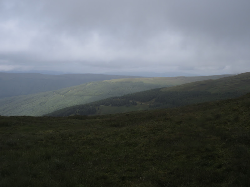
As the rain eased, I spent a mindless hour wandering out of Glen Tarsan and into Glen Massan. Despite the trees, Glen Massan looked as if it would be pleasant enough in decent weather.
Down in Glen Massan:
The rain came on again and I sheltered in trees off the track for a late lunch. The next part of the route I was a little unsure of. A study of maps, reports and satellite images suggested that I should cross the Garrachan Glen below the summit of Creag Tharsuinn and squeeze between old and newer forest before climbing straight up the east face of Creag Tharsuinn.
This was much easier said than done. The traverse between the trees was an eye-poking mudfest, and the east face of Creag Tharsuinn was much steeper and craggier than I anticipated. I ended up climbing very steeply up between low trees then contouring along the western slopes of the glen above the forestry. The way up looked forbidding and impressive - rocky gullies winding up into the clag. Maybe they would have made a decent ascent route on a nice day but they weren't appealing now. I ended up contouring another km up the glen before I found somewhere I was happy to get onto the ridge.
I dumped my bag on a grassy ledge and wove up through crags. On the ridge the cloud didn't clear and I had to walk a km or so back SW to the twin summits. Shame, this is a view I'd like to have seen. I retraced my steps to the bag, then there was some more awkward contouring before I dropped to a rough ATV track at the head of the Garrachan Glen. Nothing was easy in this area!
North through the top of Garrachra Glen to Beinn Bheag:
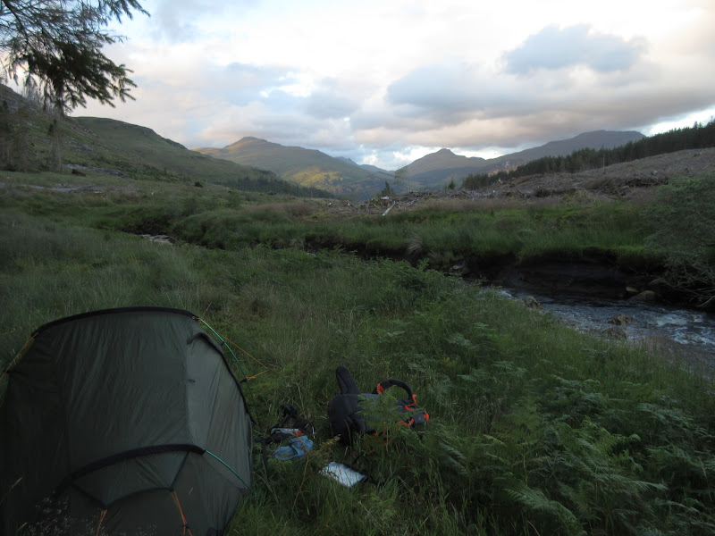
I followed the rough track (complete with culverts, but completely overgrown) to the new forestry track (unmarked on OS) up to Bealach Bernice. It was now tipping down again, and while I was looking forward to being warm in my sleeping bag, the intervening task of finding somewhere to camp and getting my wet stuff off and separated from my dry stuff really didn't appeal.
I vaguely remembered Kathy and Terry's report showing a decent camping spot up here, and I soon found it (or a similar one), close to the corner of the trees. Despite having a long day, I wasn't completely knackered at this point so I decided that a quick ascent of Beinn Bheag would be a good idea before settling down for the night, particularly as it was clear.
I shoved my bag into the corner of the woods and went steeply up through the long grass and reeds to Beinn Bheag. There were a couple of intervening tops to contour round but it didn't take long.
Despite the fact it was still raining, the top was clear, and I was impressed with the view down Loch Eck. This is a fine little summit, with great views and covered in interesting crags and outcrops.
Beinn Ruadh and Loch Eck from Beinn Bheag:
Back down to the bag, where the rain had eased a lot, making things much easier. I got the tent up, dived in and went to sleep, not even bothering to get the stove on for some hot food. What would the new month bring?
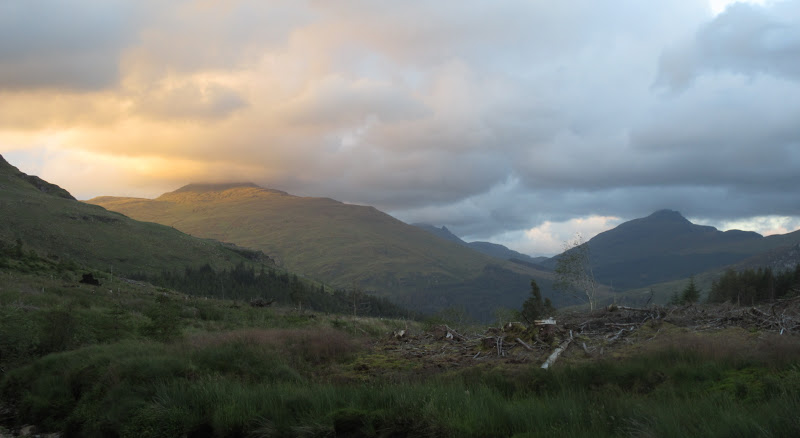
Day 2 (1st August): Bealach Bernice to Lettermay Burn. 34.5km, 2000m ascent, 12hr 30min. Sunny with lots of afternoon showersTurned out August brought tentative sunshine and no midges
. I thought I'd make the most of this while it lasted, so packed up quickly and was heading up Beinn Mhor by 8am. While the spur directly up from the pass probably had the best views, I had spotted a path up through the felled forest into the northern corrie yesterday. It made for easier walking with the heavy bag so I went for that.
Morning at Bealach Bernice:
Looking north to Beinn Bheag from the ascent of Bheinn Mhor:
Once out of the forestry, there were interesting outcrops in the corrie, and I climbed out steeply onto the spur to the west. An hour or so later I arrived at the summit in sunshine. There were views to the south although the Arrochar Alps to the east were still lurking under clouds.
Clach Bheinn from Beinn Mhor:
Across Sgorach Mor to Arran:
Back down Glen Tarsan and yesterday’s hills:
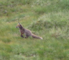
Beinn Mhor contains a rather large boggy plateau as its southern ridge. I crossed this now heading in the direction of Clach Bheinn. The closer I got to this the more impressive it looked. I had a feeling I was in for a long day, so I didn't go up it in the end. Just before the col in front of it, I spotted a fox scurrying away. I had a break overlooking Coire nan Cleireach and spotted a couple of shepherds with their dogs heading up onto Clach Bheinn. They warned me that the rain was due to move in at lunchtime. No surprise there then! As I descended into the corrie, I could hear them whistling and shouting all over Clach Bheinn as they rounded up their sheep.
Today’s ultimate destination – Beinn Bheula:
Loch Eck and the north face of Clach Bheinn:
Fox scarpering near Clach Bheinn:
Clach Bheinn from Coire nan Cleireach:
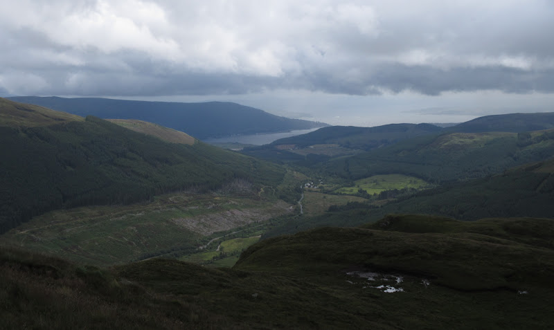
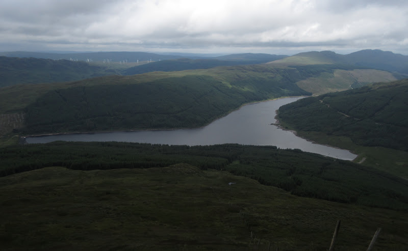
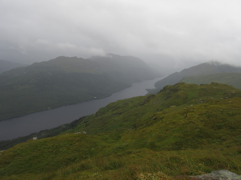
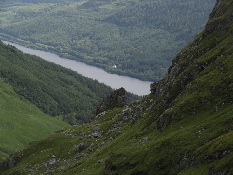
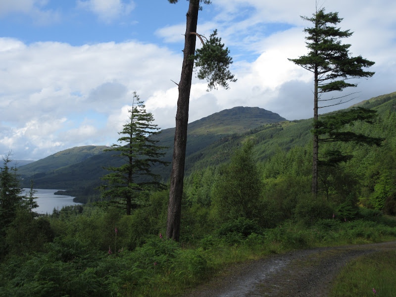
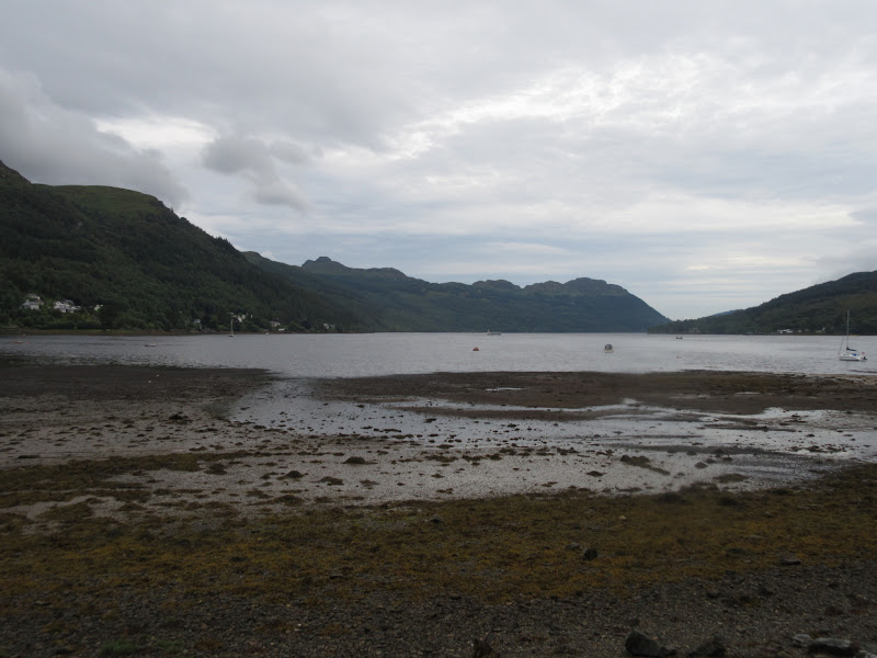
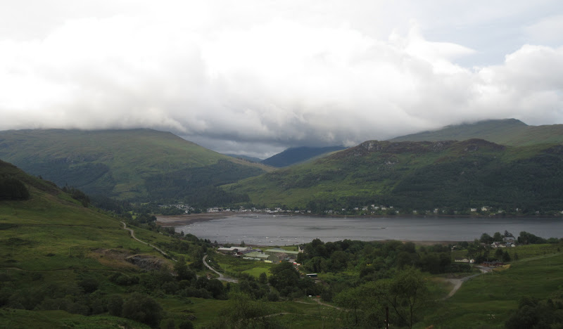
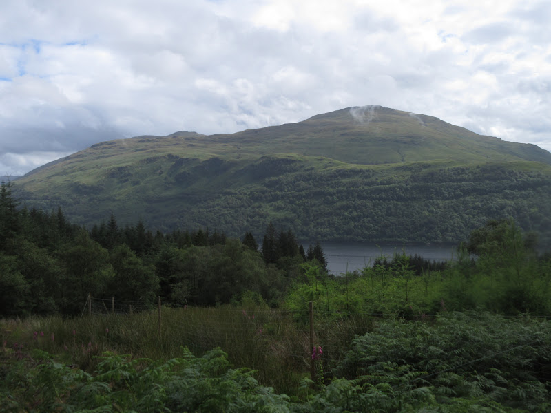
At the mouth of the corrie I deviated leftwards to get to the edge of the forest. I had spotted this clear run down to Loch Eck on the map, but that didn't give a full impression of how rough I would be. It took me quite a time to reach the shores of the loch, but at least I was able to study Beinn Ruadh in detail and start making some plans for it.
Beinn Ruadh and Loch Eck:
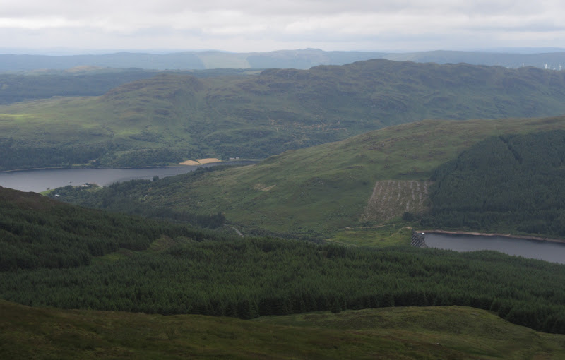
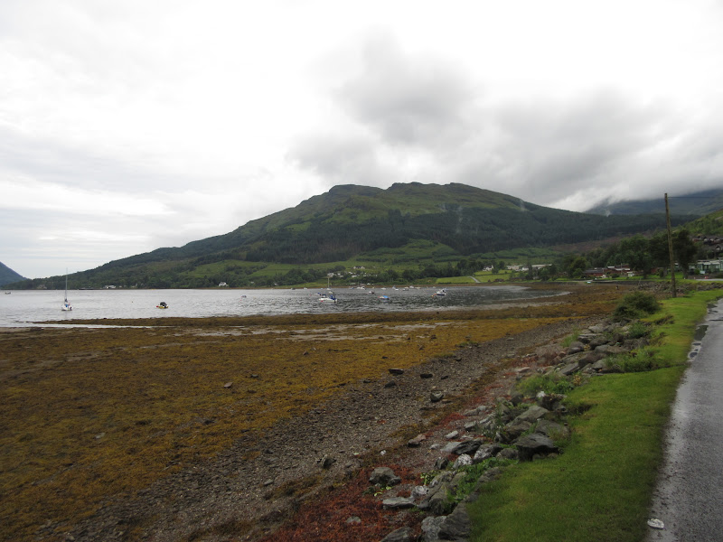
Strath Eachaig:
It was a nice stroll down the lochside to Benmore gardens, where I was briefly back in the land of people again. Across the road, I picked up a forest walk that took me onto the Loch Eck circuit. It was a steep climb (height which was soon lost again) but it kept me off the road.
Clach Bheinn from the east side of Loch Eck:
Over the last hour or so I had been hit by a few showers, and was not confident of the semi-decent weather holding out. While the plan had been to stay high between Beinn Ruadh and Beinn Bheula (over Sligrachan Hill, Cruach a' Bhuic and Sgurr a' Choinnich), I had already wearied of the rough tussocky ridges, knowing there would be plenty more of them. So I decided to leave my bag by the high point of the Loch Eck path (not marked on the OS map but at just under 100m in elevation) and ascend Creag Liath in a traversing route to the summit. Steep and rough again, this got me to the top in another shower (a shame as it was quite a nice hill). I headed back the same way and picked up my bag, ready for the long walk up the side of Loch Eck - my alternative low route.
On the way up Beinn Ruadh:
West face of Beinn Ruadh from the Loch Eck circuit:
Some parts of the forestry track were scenic and some were dull, but the entire length had a reasonably open feel to it, even if Loch Eck was only seen a few times. There were many more showers along the way, at one point seeming as if they might merge into more continuous rain.
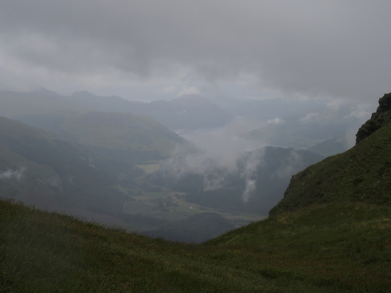
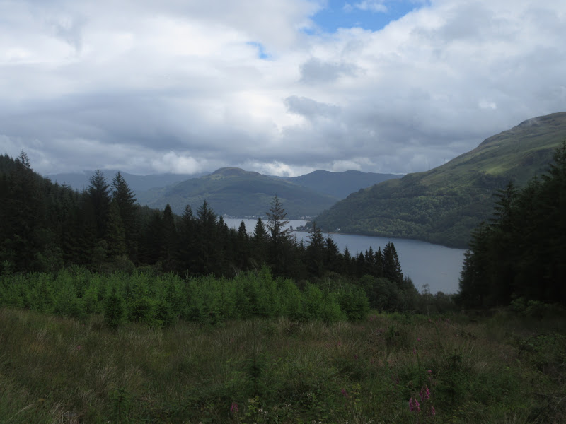
Towards the north end of the loch, the track climbed to a phone mast and a great view back down Loch Eck. Shortly afterwards, I picked up the Glenbranter to Lochgoilhead path.
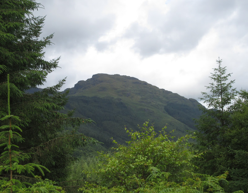
Beinn Dubhainn, which I mistakenly thought was Beinn Bheula for quite a while:
Across Loch Eck to Beinn Bheag:
Beinn Ruadh, Loch Eck and Clach Bheinn:
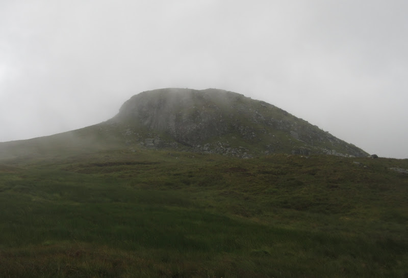
To call it a path was rather an overstatement. It was rough going to get out of the forest, after which the only sign of the path was a row of marker posts passing over the high ground, which was covered in long wet grass and bog. The path curves its way up the corrie in a rather roundabout way. Since it wasn't making the going any easier at all, I left it and cut directly towards Beinn Bheula. I was feeling pretty shattered now, and glad to lose the rucksack again for the last 150m up to Beinn Bheula.
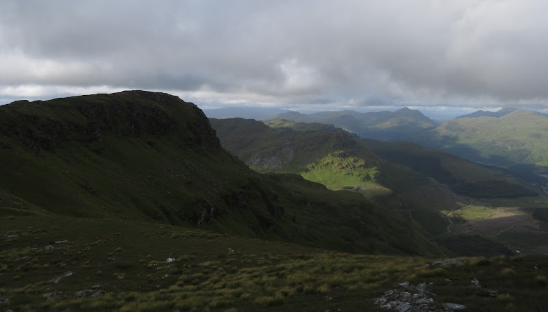
The Saddle, with the Luss Grahams behind:
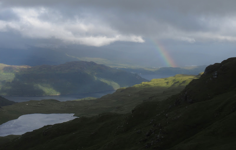
Next soaking moving up Loch Eck – fortunately it missed me:
What a great hill
. This would easily be my highlight of the walk, and not just because it wasn't raining. There really is a fine selection of glen and sea loch on view from the top, not to mention plenty of steep hillsides and crags around, making it feel like a proper little mountain.
Lochgoilhead, Ben Donich, The Brack and Ben Lomond:
Looking to the main summit of Beinn Bheula:
Towards Garelochead:
Oops – messed it up again!
Greenock and Inverclyde:

Luss hills again:
Ceann Garbh:
Back down to my bag, and one thing to annoy me was how good Cruach nam Miseag looked. This was the 3rd of the high sub 2k Marilyns I wanted to go up, but I had absolutely no energy for it this evening. It seemed likely that it would need to wait for another visit to the area.
Cruach nam Miseag:
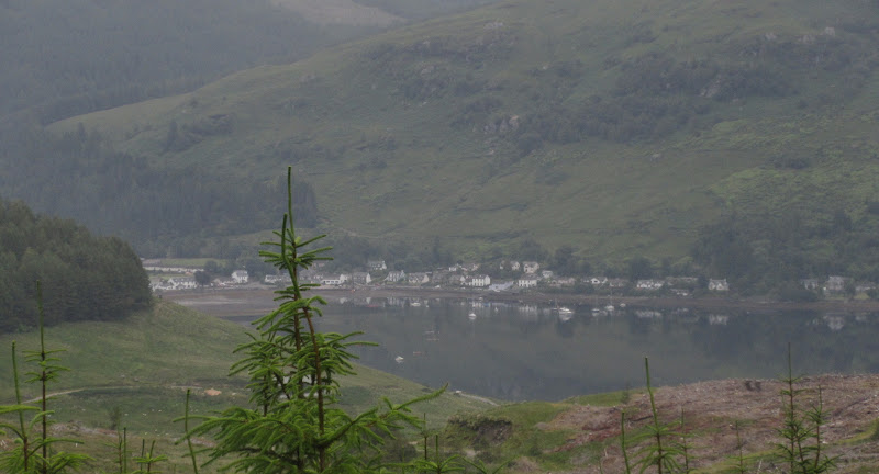
The other annoying thing was the elusiveness of the path still. Before leaving Loch nan Cnamh, I had ideas of descending to Lochgoilhead to find a campsite, although I had a suspicion it was full of holiday parks with no facilities for the lowly camper.
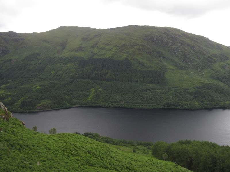
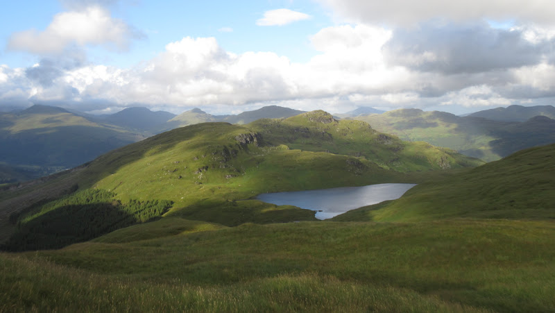
Beinn Lochain:
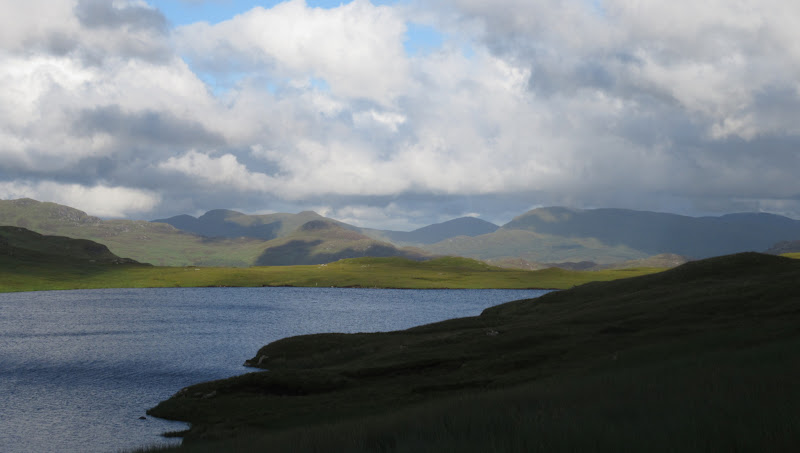
Loch nan Cnamh:
…with Luss hills behind:
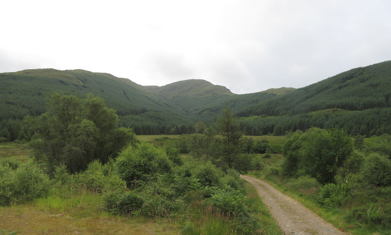
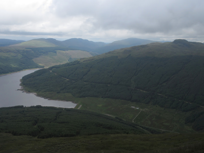
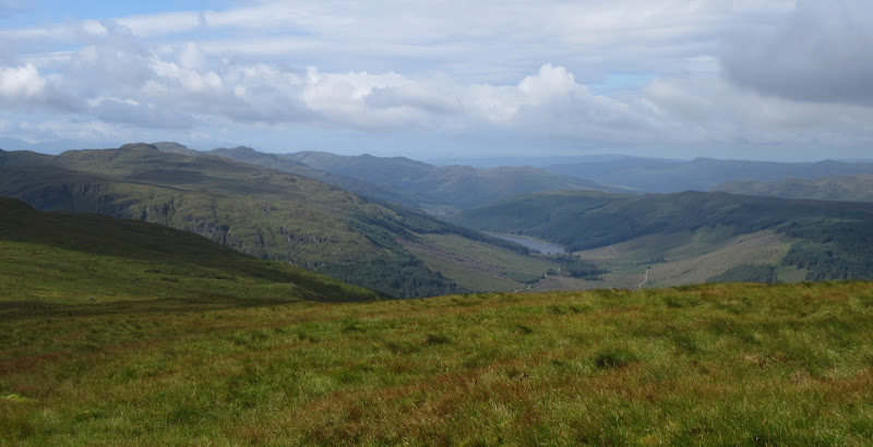
Into the glen of the Lettermay Burn:
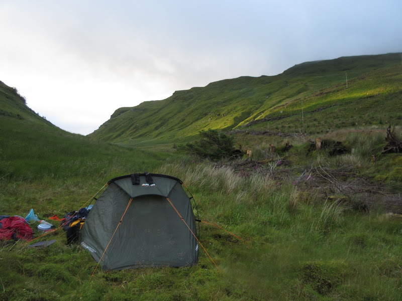
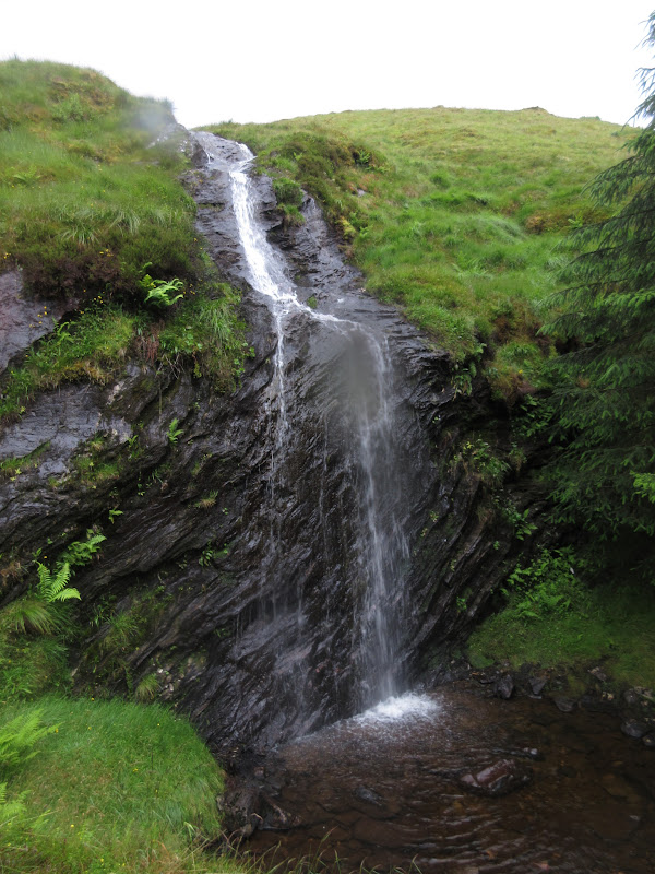
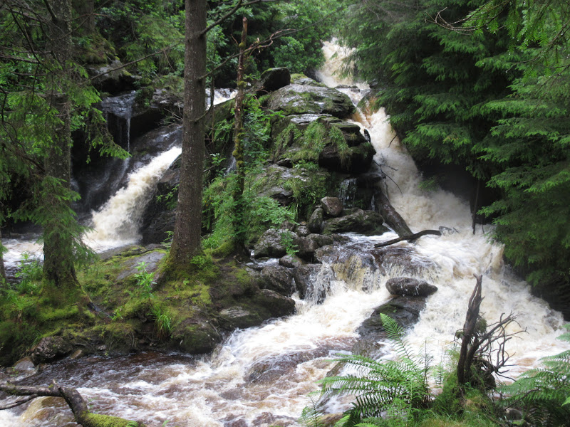
However I made such a mess of getting down to the Lettermay Burn and the vast expanses of easy forestry track that I was looking for somewhere to camp before Lochgoilhead. I don't think I actually went off route, but there was a lot of slithery, boggy crashing through the forest followed by an unnecessary traverse of a felled area. In the end I found a nice secluded spot down by the Lettermay burn just beneath the waterfalls that descended from the Curra Lochan.
Waterfall from Curra Lochan:
Camping by the Lettermay Burn:
Some nice light over Ben Donich:
 Day 3 (2nd August): Glen Goil Circuit. 31km, 1810m ascent, 10hr 30min. Claggy then wet.
I had a great sleep a bit of a lie-in and a good idea over the night. I could leave the tent here and do my circuit of hills on the west and north side of Glen Goil without carrying a heavy load. Then I would also be well placed to head out to Arrochar the following day. Why hadn't I though of that when I was planning the trip?
Sadly the morning dawned damp and I could see midges crawling all over the outer tent. I put my full waterproofs on and smothered Jungle Formula all over, but breakfast was still a bit of a trial. Eventually I was on my way, heading up to the Curra Lochan and Beinn Lochan. Although it wasn't raining now, it was a shame that the summits were all clouded in as I had been looking forward to the next couple of hills more than any others on the walk.
Morning look down to Lochgoilhead:
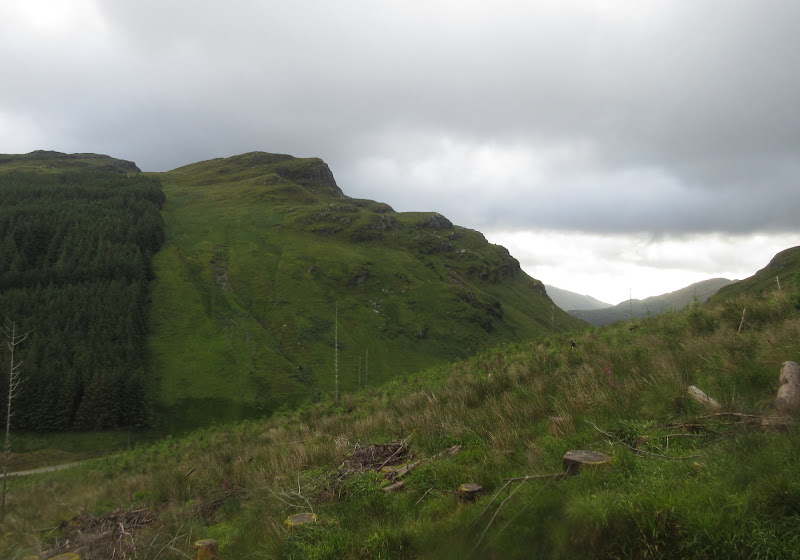
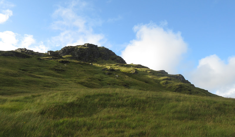
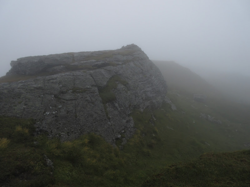
Craggy nose of Beinn Lochain:

Curra Lochain and Carnach Mor:
I went about halfway along the loch before striking upwards diagonally. It was great to have a normal day sack worth of weight on my back - almost made the day seem like a break! There was little to see on Beinn Lochan other than glimpses of interesting landslips and rock formations, and the compass was handy for the next few hours.
Interesting summit crags on Beinn Lochain:
There was no point going over the non-Grahams of Beinn Tharsuinn and Mullach Coire a' Chuir without the views so I contoured them. The glens to the west did clear briefly but the moorland and forest on view was uninspiring compared to what I had hoped to see.
Sadly the only views are to the dull side of these hills, into Glen Soacach:
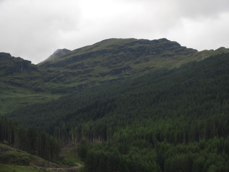
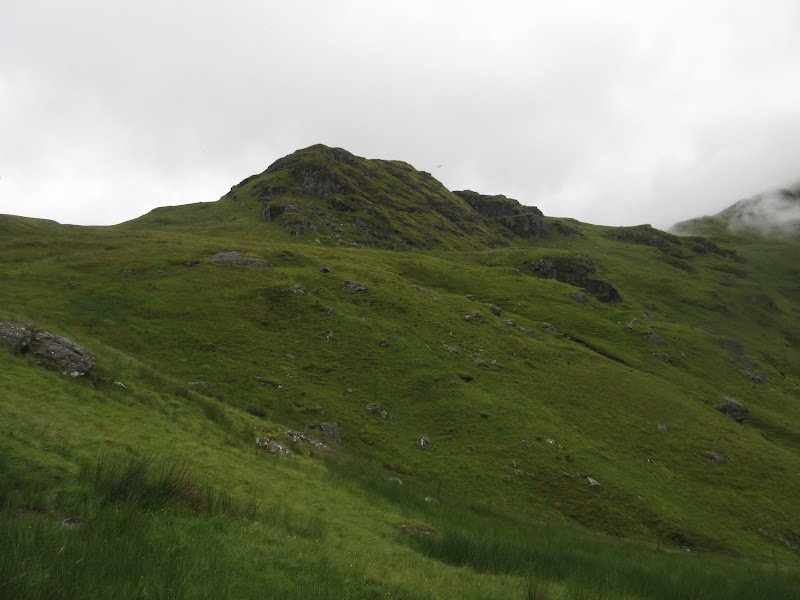
The climb up to Stob na Boine Druim-fhinn was excitingly steep and rocky, but only served to annoy me that I couldn't see more.
Best of a bad bunch of summit photos, on Stob na Boine Druim-fhinn:
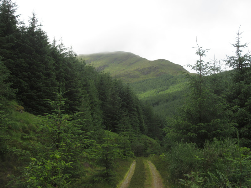
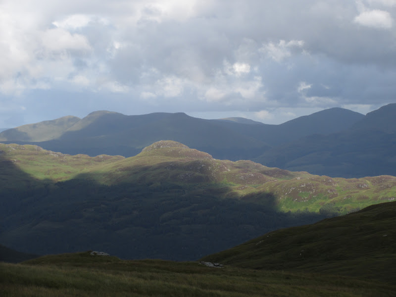
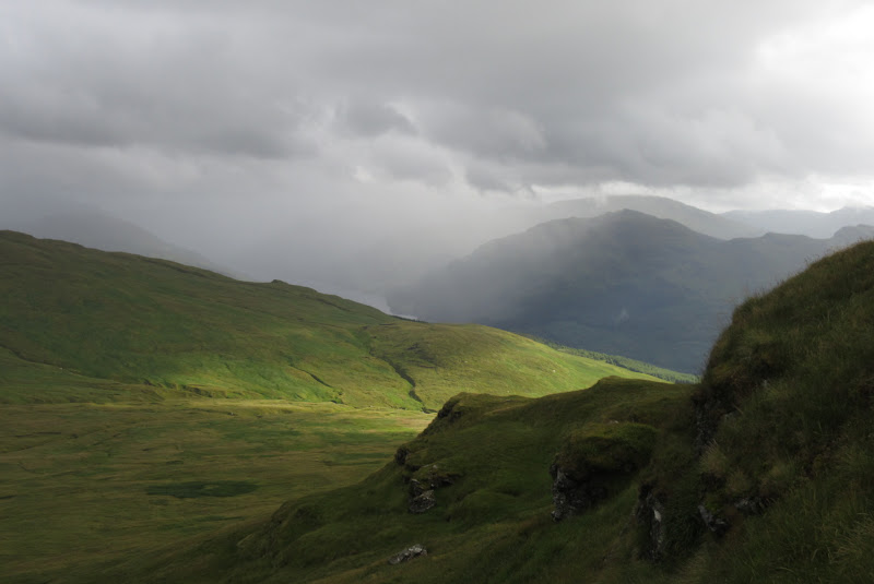
The climb up to Cruach nam Mult was longer and steeper than any yet and the still, dry cloud had gradually morphed into blustery wetness. The top of Cruach nam Mult was truly unpleasant. The cloud cleared a little bit on the way down, making it much easier to identify the fire break which was my ticket out of here. This wasn't without its fun sections (some awkward fallen trees to cross, lots of blancmange-like ground), but it was way better than the forest on either side. An old fenceline is followed the entire way back to the forestry track, which gives easy access to Hell's Glen. More clearing of the weather allowed me to see down to Inveraray and Loch Fyne.
Loch Fyne from the top of Hell’s Glen:
The track leading through the forest to Stob an Eas is directly opposite, and turns to mush high up before leading to the open hillside. There is a burn to follow to the top of Stob an Eas but it is very steep. The summit was quite imposing from below when I could see it.
Summit of Stob an Eas:
The weather was horrible and rainy again, but the cloud parted a little, making for the best summit views of the day (just). There is actually a nice ridge running north-south on the summit, and as I could see now, I walked over some more bumps on it before dropping to the west then south back to the forest by the Steallan Dubh waterfall. This route hadn't looked appealing on the way up, but the forest next to the burn turned out to be easy enough walking, being mature enough to not have too many low branches.
Loch Goil from the summit:
Waterfall on descent:
At one point had had a notion to follow the Allt Beinn an t-Seilich back down to cut out some road walking, but this would have ended in a farce I think. It certainly looked that way when I walked past the bottom of it later on.
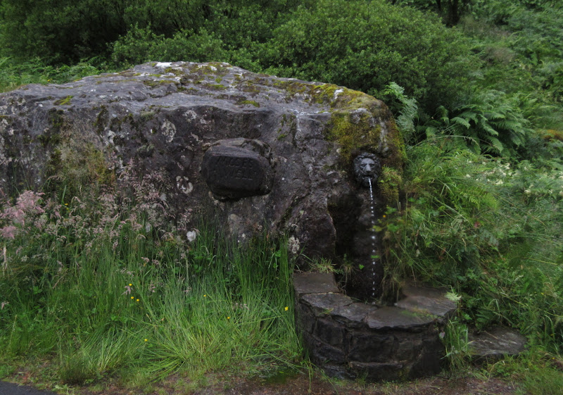
Moses Well on the Hell’s Glen road:
I decided to follow the track on the west side of Glen Goil back - after Drumsyniebeg it was rather wet and boggy, but since my feet had now been wet for 3 days solid, it no longer made any difference. Looking back, Stob an Eas appeared quite dominating over Glen Goil.
Stob an Eas from Glen Goil:
Finally back at Lochgoilhead, it was time to ascend back to the tent. I started off through Corrow, but decided that the tracks may not actually meet up (the entire track network in this glen is now out of date on most OS maps, particularly mine). I retreated and went up via Lettermay, even here taking a wrong turn which looked to offer a shortcut but actually ended at a weir which I had no chance of crossing under the current flow. Finally I got back to the tent with a little sunshine. It had been another long day but it hadn't seemed that bad with the lighter load.
Loch Goil:
Beinn Lochan from Lettermay:
Down to the Saddle over Loch Goil:
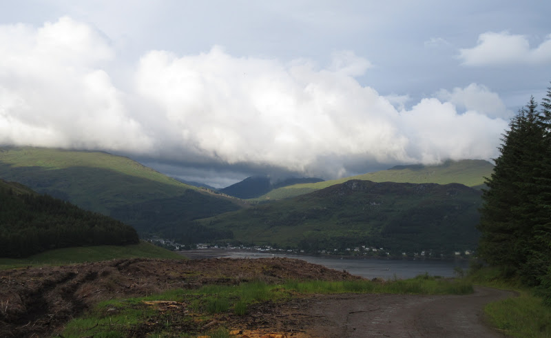
Lochgoilhead and Glen Donich:
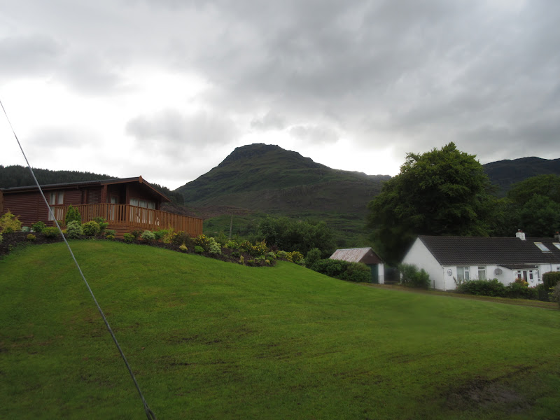
Stob Druim na Boine Druim-fhinn:
Finally some sunshine:
There was another dance with the midges over dinner, then bed. Despite being in the same place as the previous night, I couldn't get comfortable or repeat the previous night's great sleep.
Day 4 (3rd August): Lettermay Burn to Arrochar. 22km, 800m ascent, 6 hours. Wet for the majority of the walk, sun coming out at Arrochar.More rain and less midges for my final day. I got going by 7:30am to make sure I had plenty of time to catch the 4:20pm train at Arrochar that I wanted. I knew that it would take me much less time than this as the last day was much shorter than the previous 3, but I might as well be on the safe side. Earlier finish would equal more eating/drinking/relaxing time at the end too.
A wet start to the final day:
I took the forestry track in the other direction to get back out to Lochgoilhead. It didn't quite meet the Corrow track, so there was one last bit of pathless scrambling across felled trees. The water was high in the burns - it must have rained much more on the summits last night than it did at my tent.
I finally passed through Lochgoilhead centre for the first time, and noted that if I had walked all the way into town on Saturday night, I could have sampled some Fyne Ales at the beer tent of the annual Gala. A pint of Jarl would have gone down a treat at that point. On the other hand, as I had predicted, there was no sign of a camp site for normal campers, so I would have been homeless for the night.
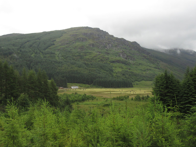
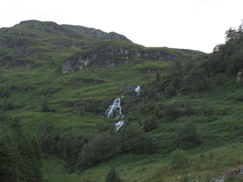
Leaving the far side of the village, the rain was on again and my shin was a bit on the sore side. I had noticed this yesterday and ignored it, but it was getting worse. Oh well, it would just need to hold out for another few hours! The trees in Glen Donich were closely planted and there was little to see until an impressive waterfall by the junction of paths.
Waterfall on the Donich Water:
I was following the Cowal Way for now, so forked right and steeply up. The last section of path out of the forest was rough and wet, and I had a sneaky feeling I would be following posts across pathless bog again. I was correct. I soon left the (non) path for the NW ridge of Cnoc Coinnich. I wanted to leave my backpack and make a lightweight ascent, but the weather was back to truly appalling again and I doubted I would be able to find it on the descent. So I lugged it to the top, the rain and wind worsening as I got higher. This was shaping up to be the foulest summit of the walk - a complete contrast to when I had been on the neighbouring Brack back in February, watching a stunning winter sunset over the cloud inversion

. Fortunately the rain eased back just before the top, making it merely viewless.
Summit of Cnoc Coinnich:
With the conditions slightly more benign, I decided to find a way down through the NE facing summit crags rather than retrace my steps. This was fine, and before long I was descending into the Coilessan Glen, about to pick up a good surface which would stay with me for the rest of the walk. Now I was done with the summits, the weather decided to clear up, and it was actually warm and sunny by the time I reached the Forestry Commission car park above Coilessan.
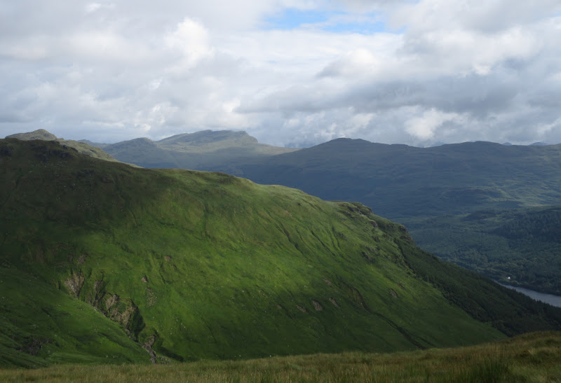
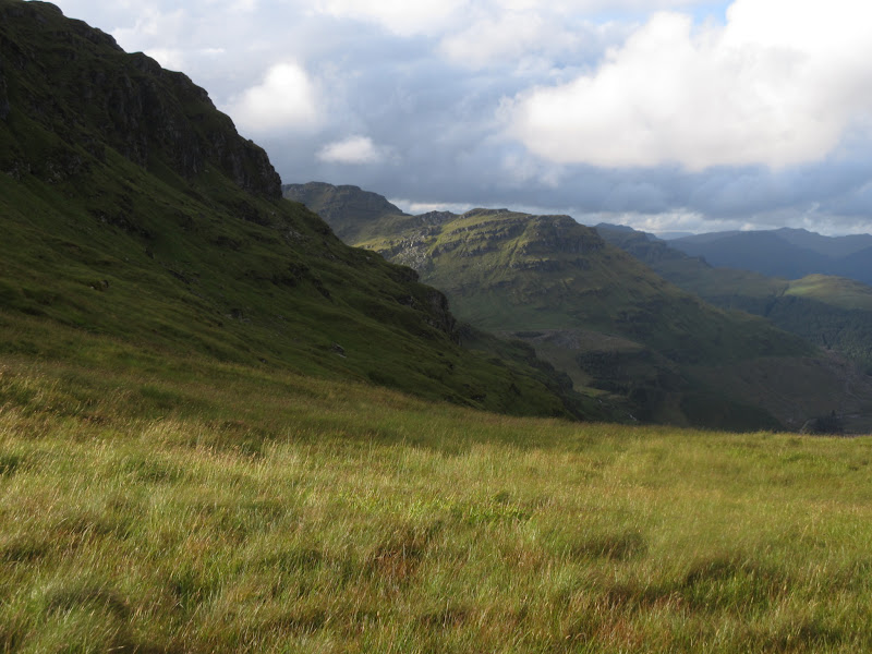
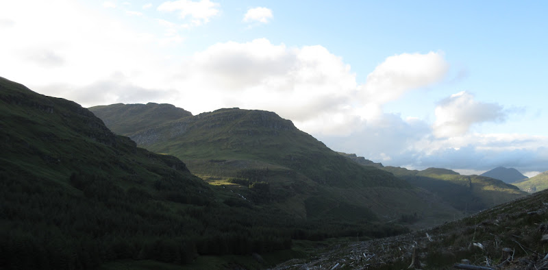
The ridge leading up to The Brack:
The Brack from Coilessan Glen:
With the walking becoming easy, it now became apparent that my shin was more injured than I had realised - up-and-down movement of my ankle was difficult and there was a lot of fluid retained under the skin. No big deal but probably not something to ignore once I had finished! It made the walk down the road and through the grounds of Ardgarten Hotel a bit slower than it should have been, particularly when I missed the footbridge I wanted and did an unnecessary dog-leg to reach the A83.
Tullich Hill:
There is thankfully a pavement all the way to Arrochar (I think there is a cycle route too, but it went up and down more than I could be bothered with). When I pulled out my phone and discovered that there was an earlier train due in an hour, I was suddenly able to walk faster again

. So much for sitting outside a pub in Arrochar looking back on my route - I was sore, wet and tired and couldn't wait to get back to Glasgow!
Loch Long and the end of the walk:
Arrochar from Succouth:
I think I would have made the train as well, but in the end I didn't need to, as a van pulled up next to me, which turned out to be Gammy Leg Walker on his way back from a day's work in Dunoon
. I was very grateful for the lift into Glasgow and it was good to finally meet another WH veteran. I was in the centre of Glasgow by 3pm. Cheers Gammy

.
I got changed into my dry clothes and best flip-flops (only other footwear I can fit in my bag) and spent the rest of the afternoon in the Counting House and sunning myself in George Square with the other smelly jakeys

, before catching my evening train home.
Last time I did one of these long trips, I decided that my days were too long and I should be a bit more relaxed in future. I completely ignored my own advice on this and ended up with a killer 4 days, made more miserable by constant wetness and almost endless rain. Still, I did it, so I was happy with that. If I'd come down in the car for 4 days of day walks, I would probably have given up and gone home after a day or two. In the end most of the disappointment was down to the weather, although the large number of boggy fire breaks and rides through conifers took their toll as well. I would happily go back up at least half of these hills again, particularly the ones around Lettermay and Glen Goil, but perhaps not in such a brutal way.
